Ulytau mountain ranges
Jeep tour to the Argynaty mountains from Ulytau
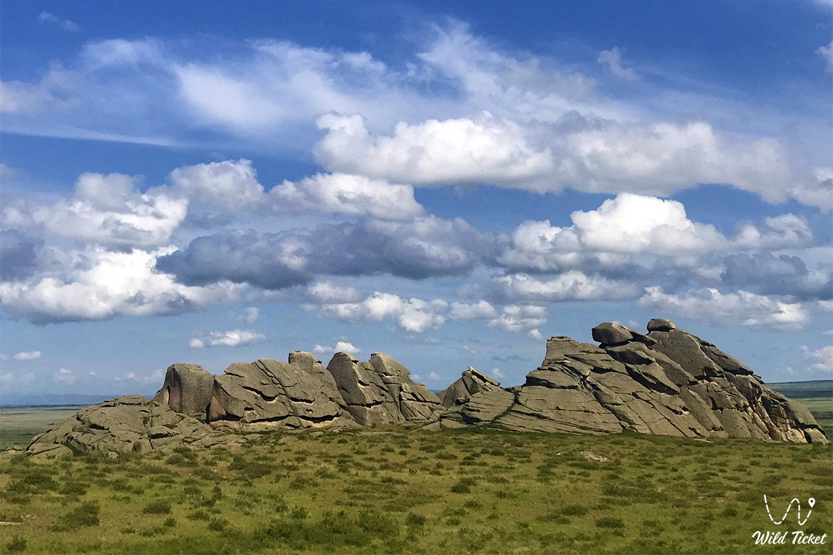
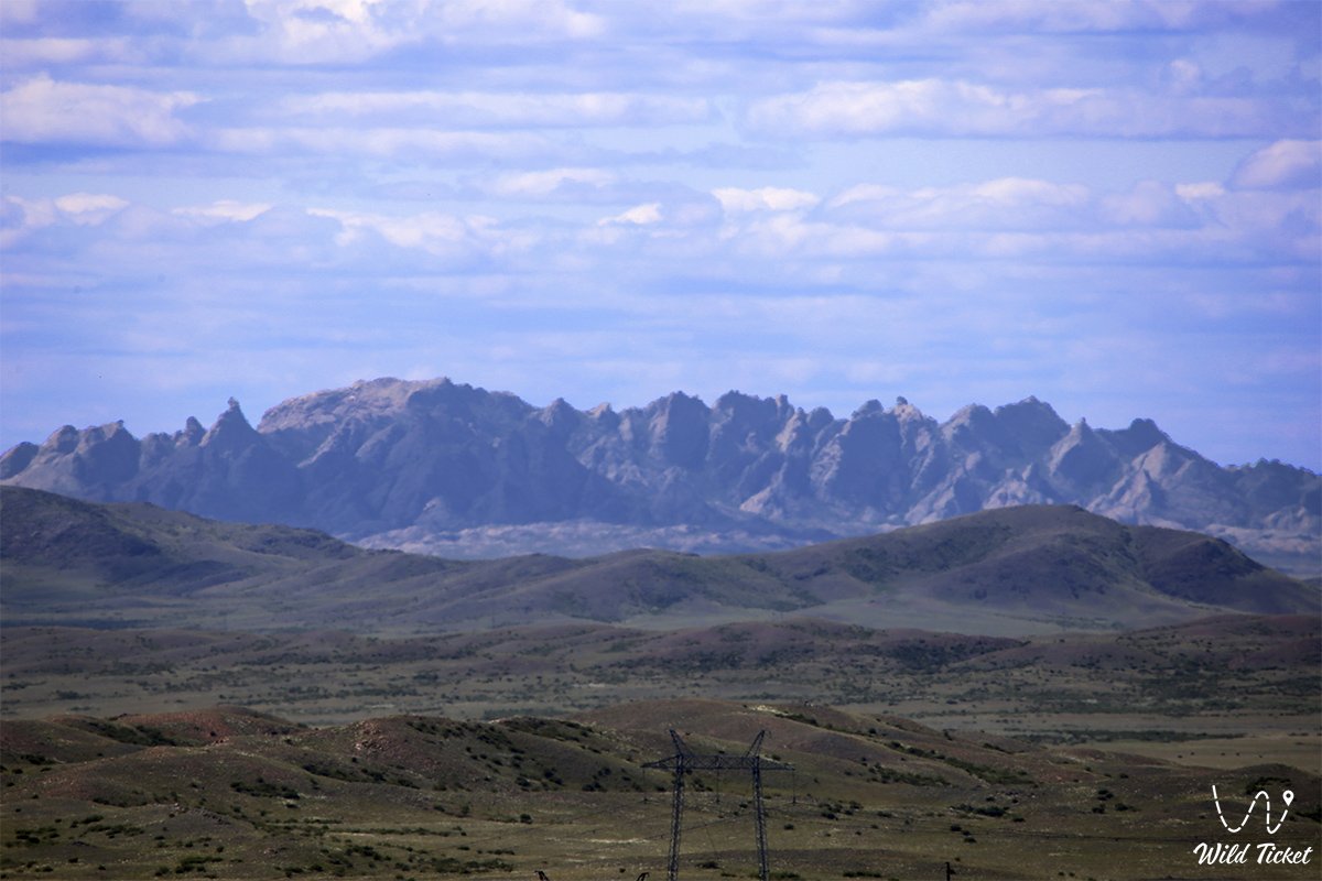
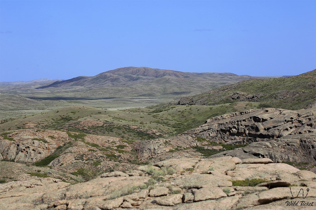
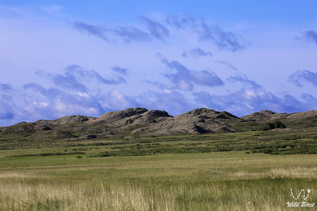
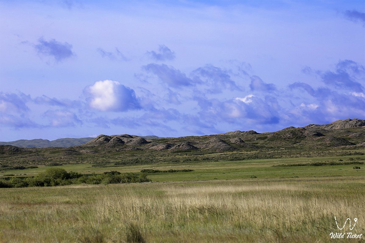
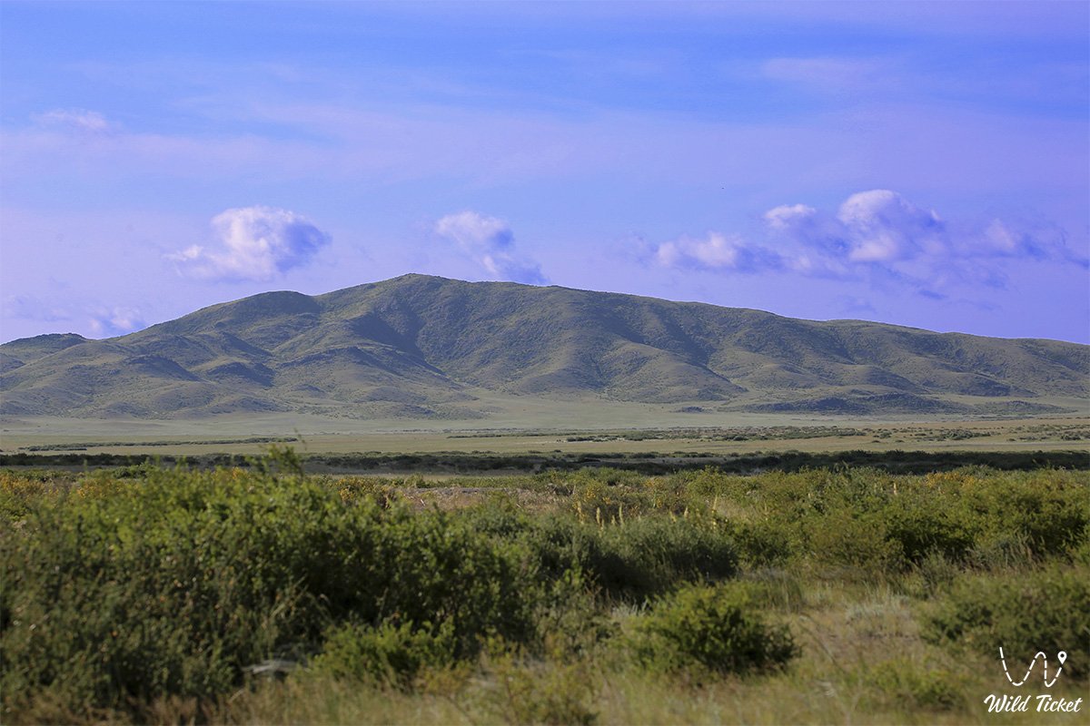
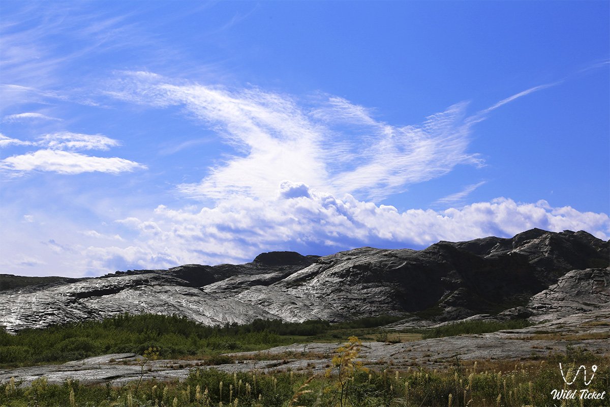
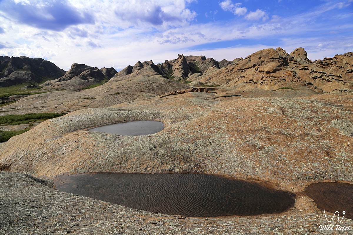
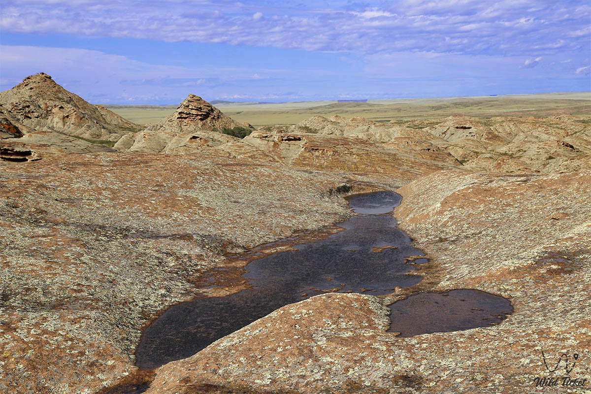
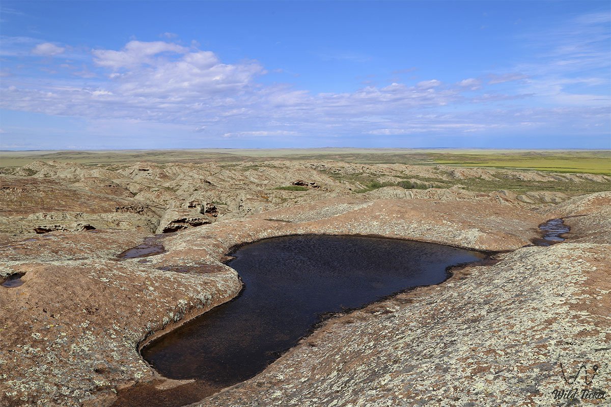
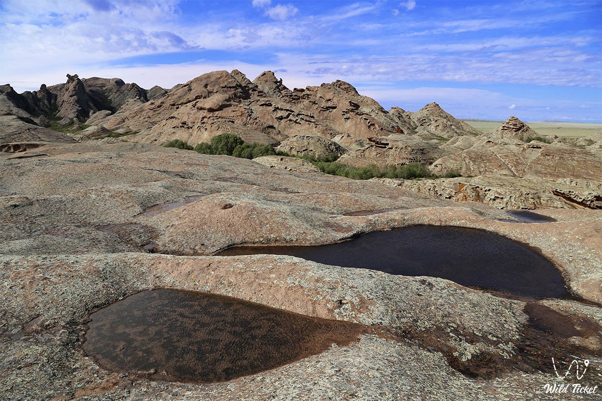
The Arganaty-mountain range, a landmark of Ulytau, consists of hills and small hills. The maximum height of the Arganata is 757 meters, the Dondygul mountain with a height of 757 meters above sea level is its highest point. Many rivers originate in the mountains of the Arganats, the rivers Terissakan, Kara-Kengir, Sary-Turgay, Kara-Turgay. The Arganaty mountains are picturesque and beautiful, in the mountains you will see many small streams from which you can drink water.
How to get there
The Arganaty Mountains are located on the territory of the Karaganda region, Ulytau district, north of the Ulytau mountains.
GPS coordinates: N49°20'23.96" E67°08'59.29"
Information for tourists
Traveling in the Karaganda region, we will definitely see and visit the Arganaty mountain range. Such animals as argali, saiga, wild boar, marmot live in the mountains. Near the Arganaty mountain range there are many lakes such as Koksol Lake, Kamystokol Lake, Barakkol Lake, Kurkol Lake, Basbaytal Lake.
Arganaty mountain range
Photogallery:


Comments 2