Путешествие в поселок Курчум из Усть-Каменогорска -
Курчум достопримечательности -
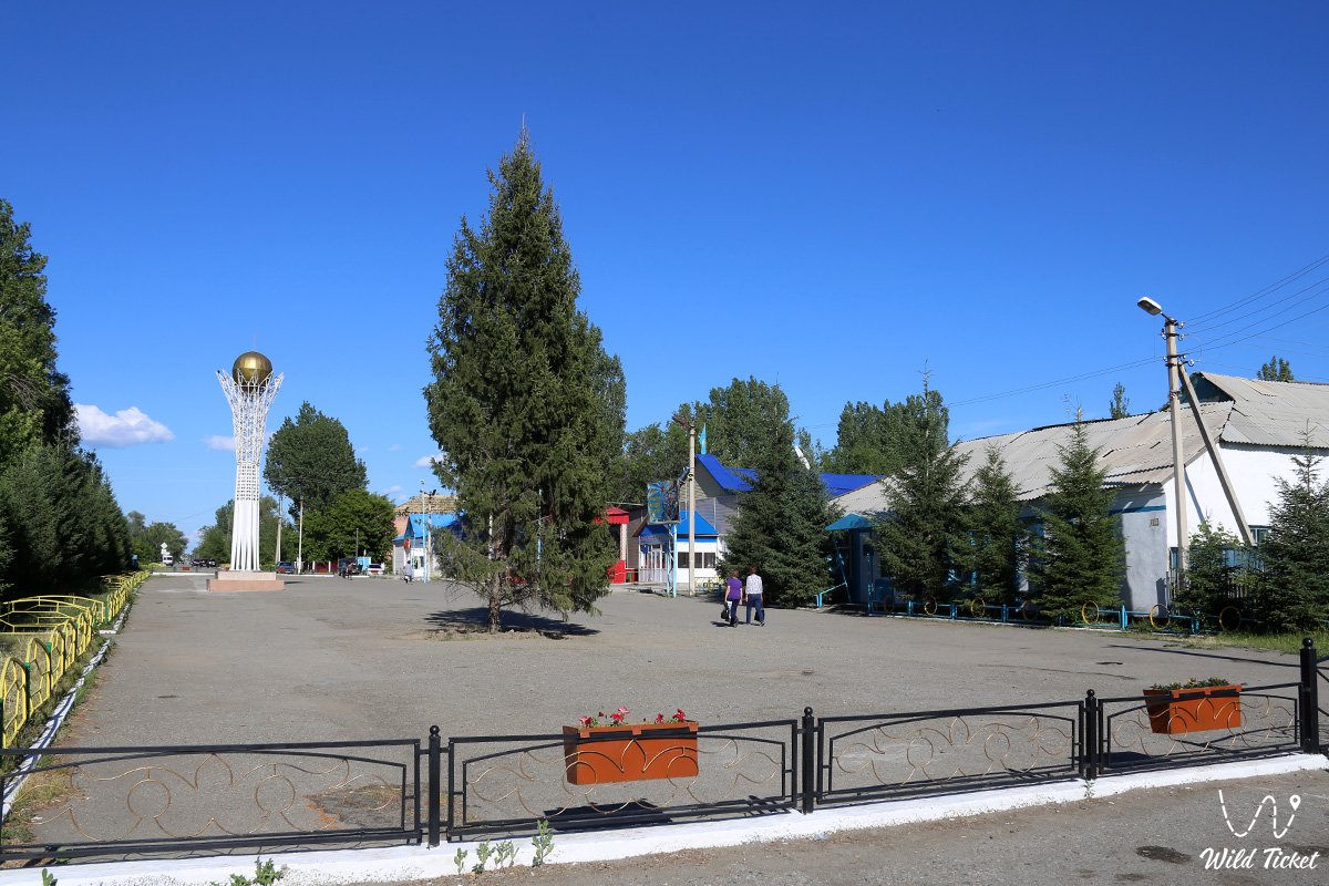
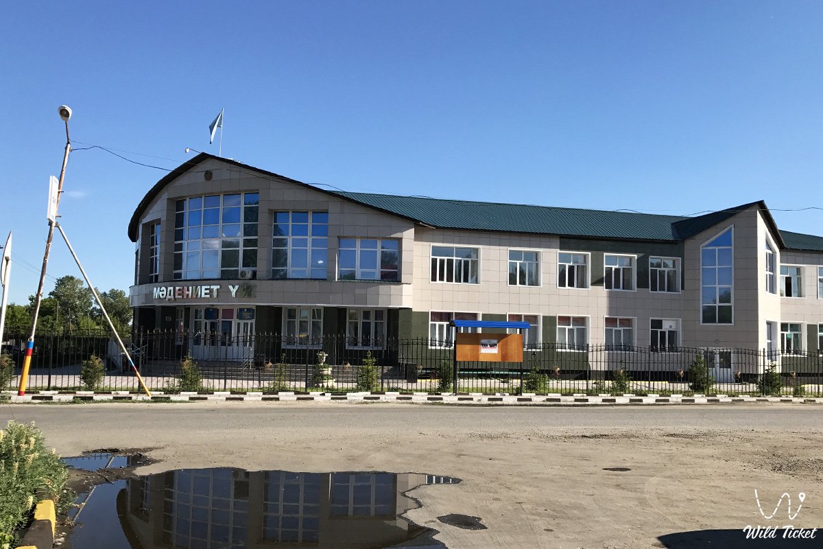
Курчум - поселок, основан в 1914 году, с 1927 года является районным центром и назывался поселок Кумаш или Кумашкино. В 1965 году село Кумаш было переименовано в село Курчум. Историческое название места расположения села Курчум - "Акарал" (в некоторых источниках Карачилик). Численность населения в 2009 году составляло 8 490 человек (4 133 мужчины и 4 357 женщин).
---------------------------------------------
Как добраться, посетить -
Поселок Курчум находится в 210 км южнее города Усть-Каменогорска, расположен на левом берегу реки Курчум, Курчумский район Восточно-Казахстанской области, центр района и Курчумского сельского округа.
GPS координаты: 48°34′20″N 83°39′15″E
---------------------------------------------
Информация, история
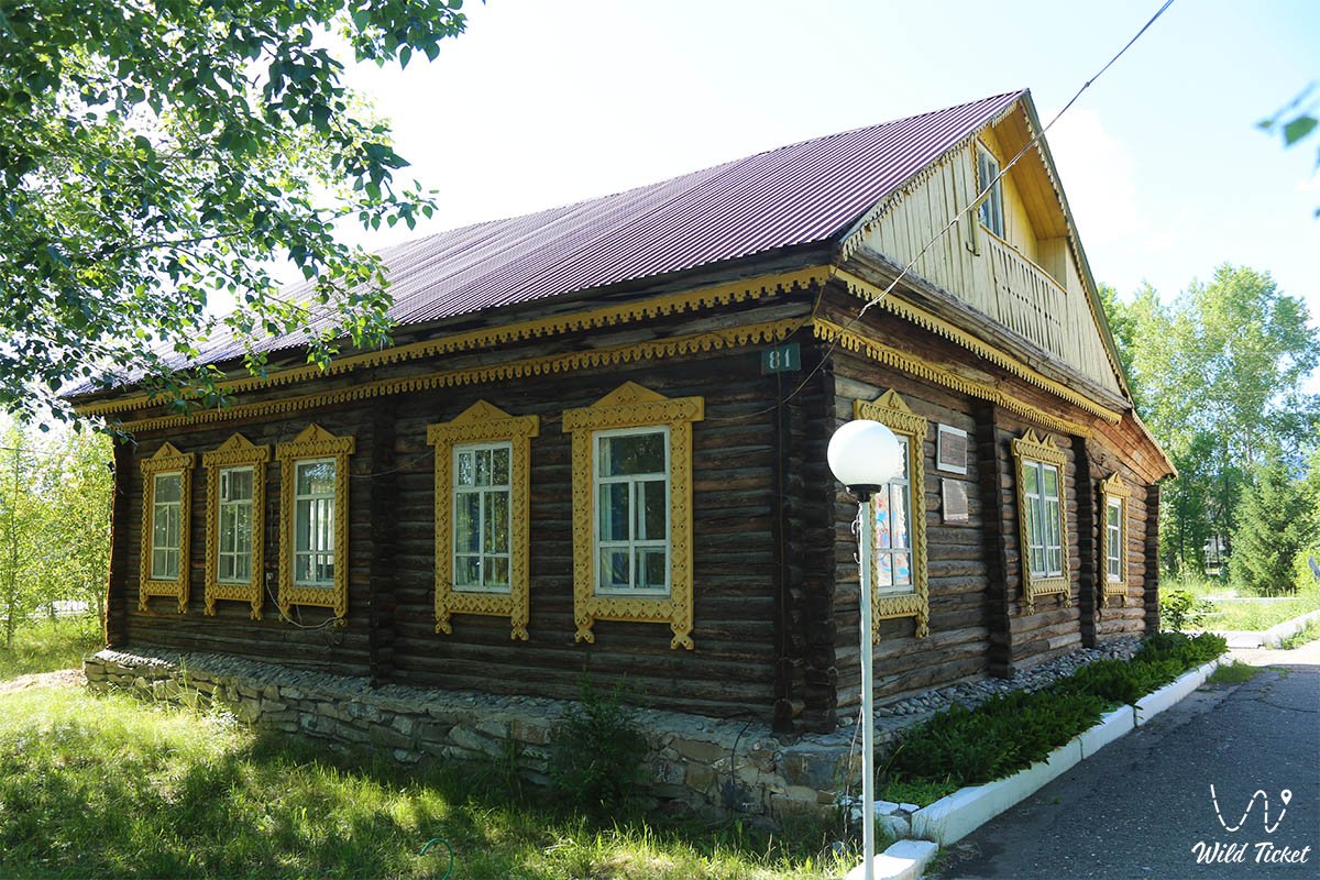
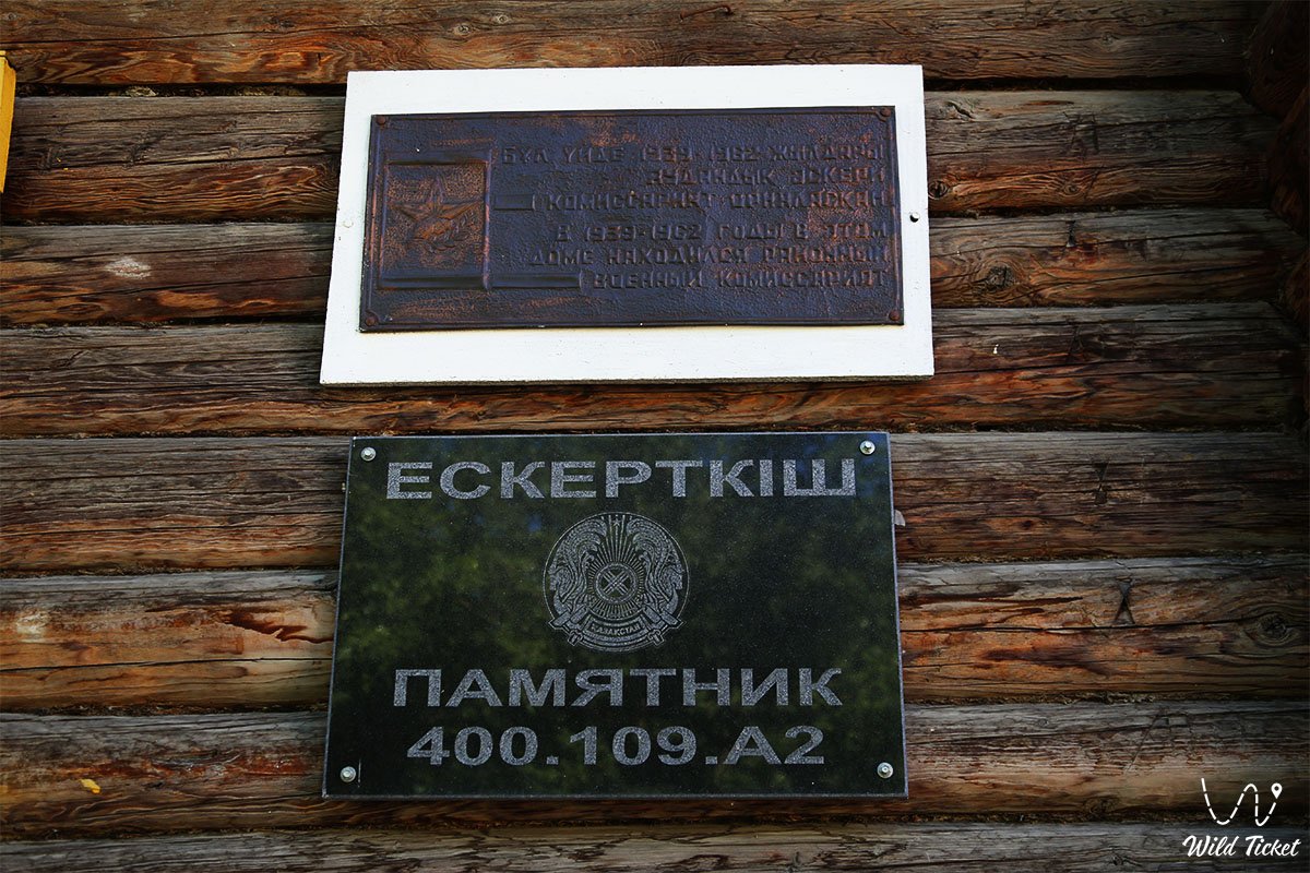
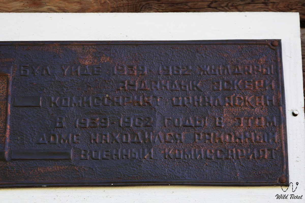
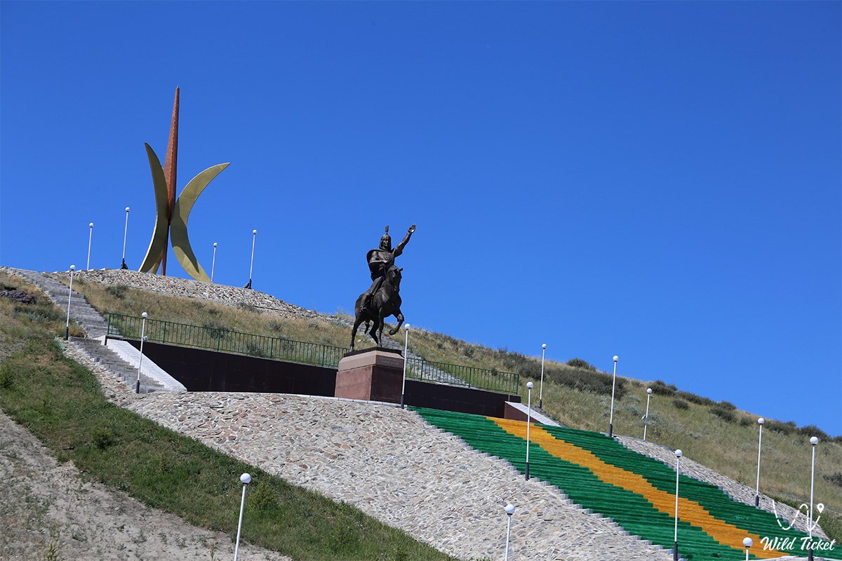
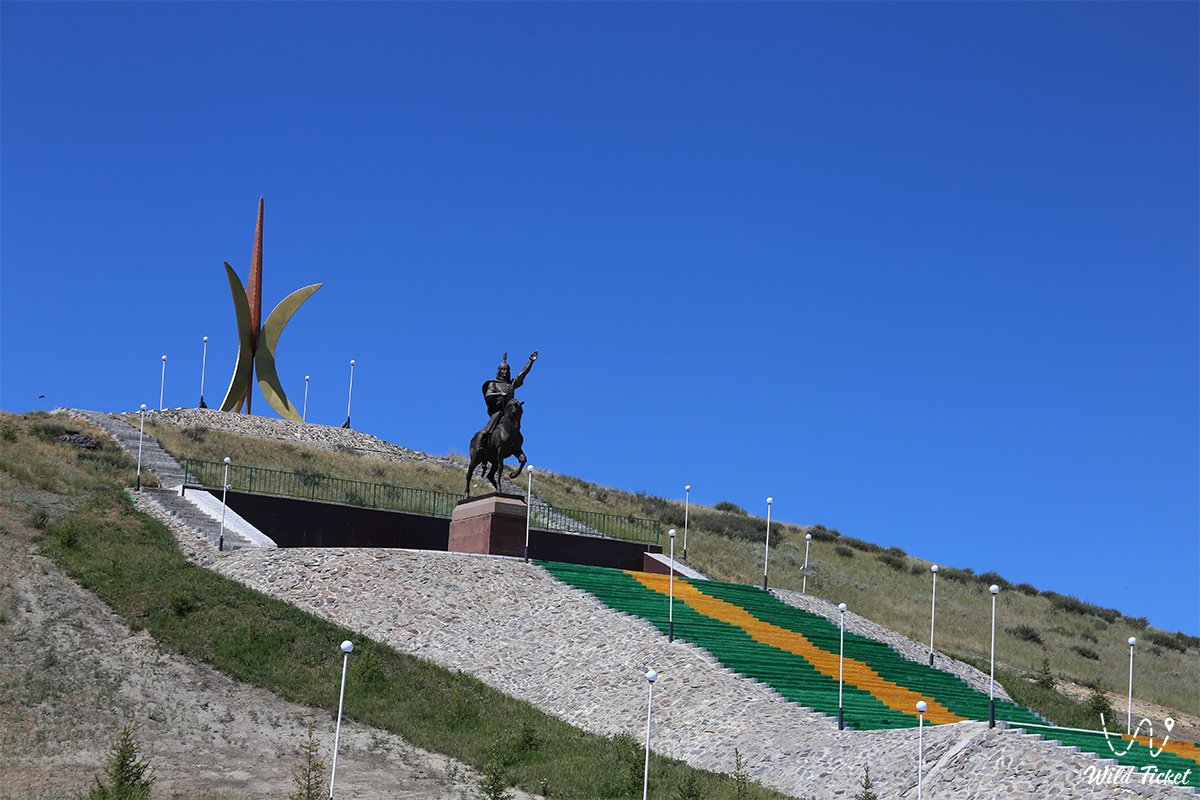
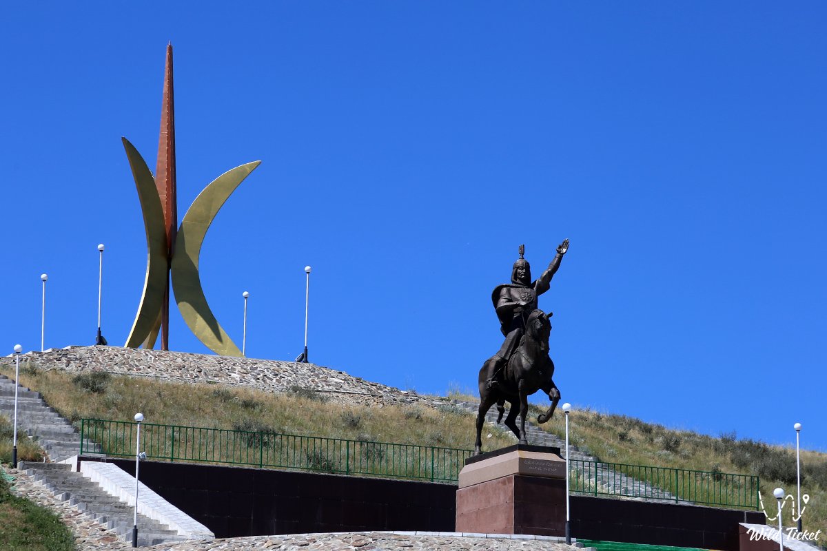
Село Курчум находится в живописной местности Казахстанского Алтая, здесь красивая природа, поселок расположен на знаменитом туристическом маршруте по заповеднику Катон-Карагай. Территория Восточно-Казахстанской области за последние сто лет претерпела множество административно-территориальных реформ. Часть Тимофеевской волости Алтайско-Курчумского, Нарымского, Бухтарминского уездов, дарственные. Нарымская волость Зайсанского уезда, часть Букенских волостей Усть-Каменогорского уезда в 1928 году были объединены в один из 23 районов Семипалатинского уезда. Окружным центром определен город Семей, административным центром-село Кумаш. Во время правления Омара, в 1898 году, татарский купец по имени Кумаш построил здесь магазины, склады, соломенные дома и до 1957 года село Курчум назывался «Кумашкино».
Фотогалерея: