Unique UNESCO biosphere reserve and natural laboratory of ecosystem changes -
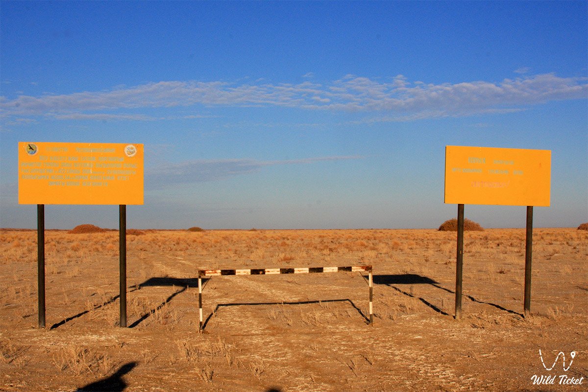
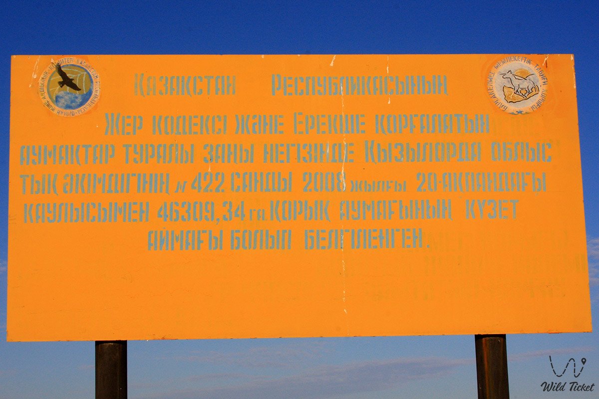
Barsakelmes State Nature Reserve (Kaz. Barsakelmes memlekettik tabighi qoryghy) represents a specially protected natural territory of the highest category (A1 according to IUCN classification), located in the Aral district within the Kyzylorda region. If you want to reach the reserve, the starting point is the city of Aralsk or Akbasty village, which is located directly near the reserve.
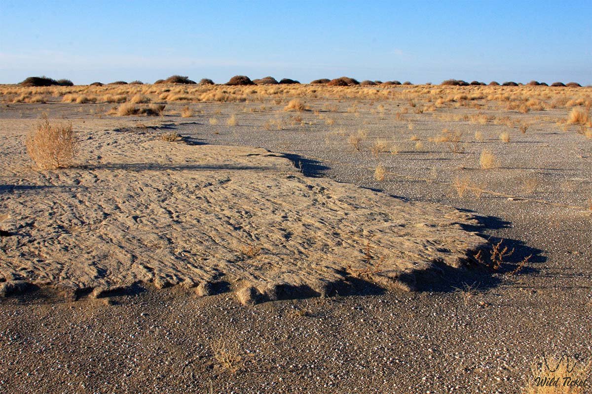
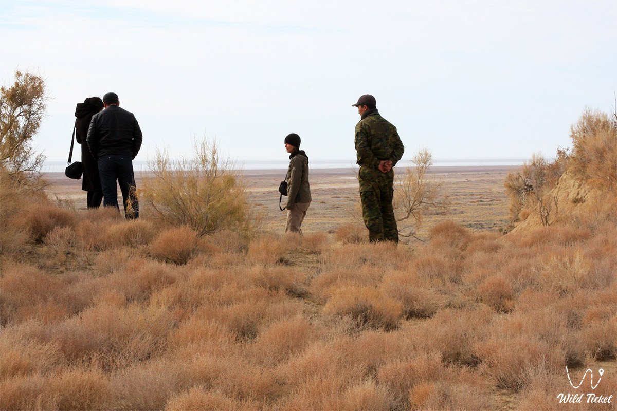
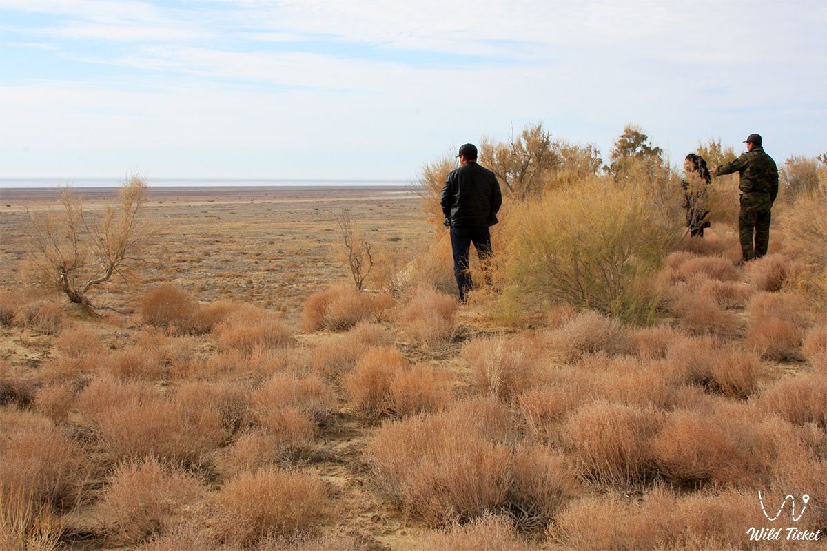
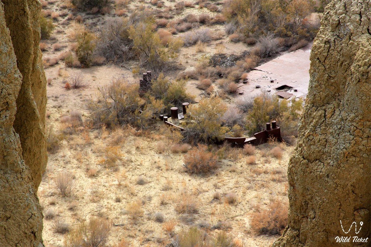
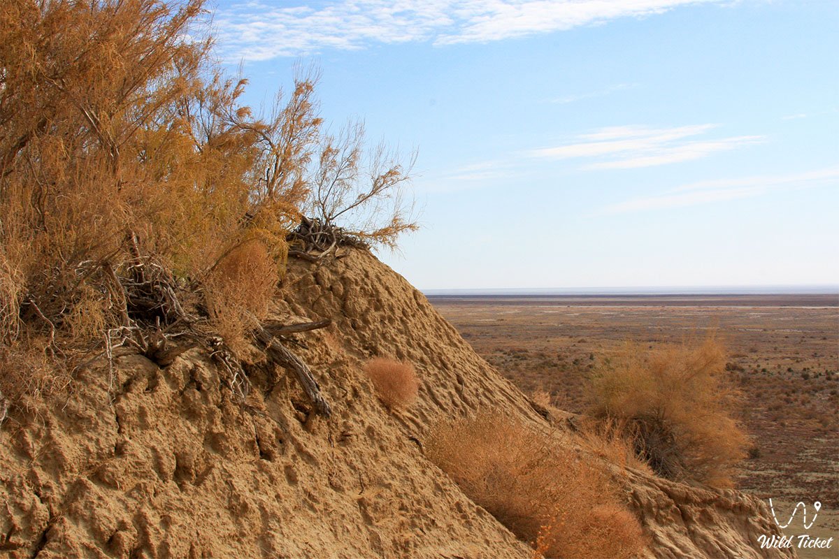
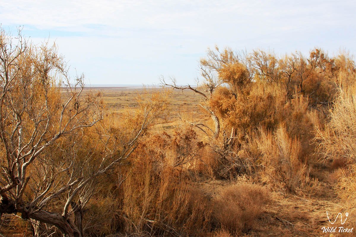
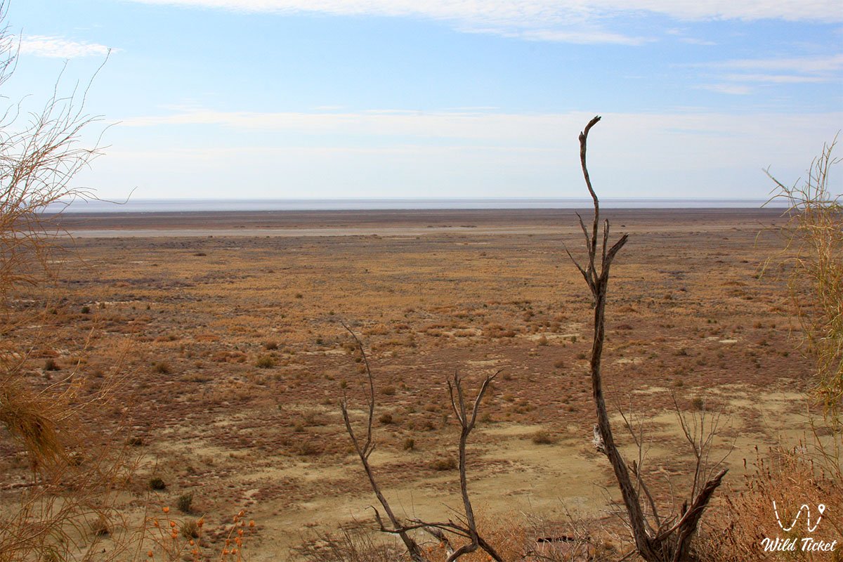
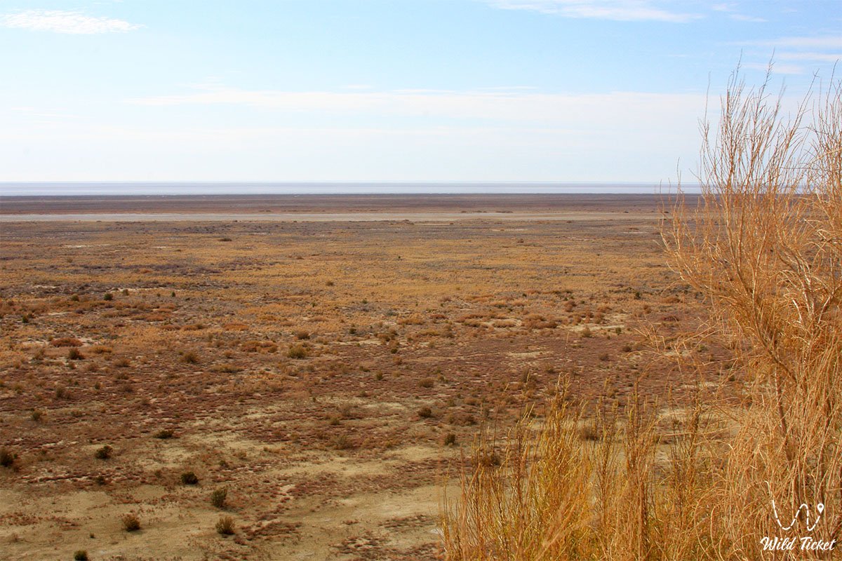
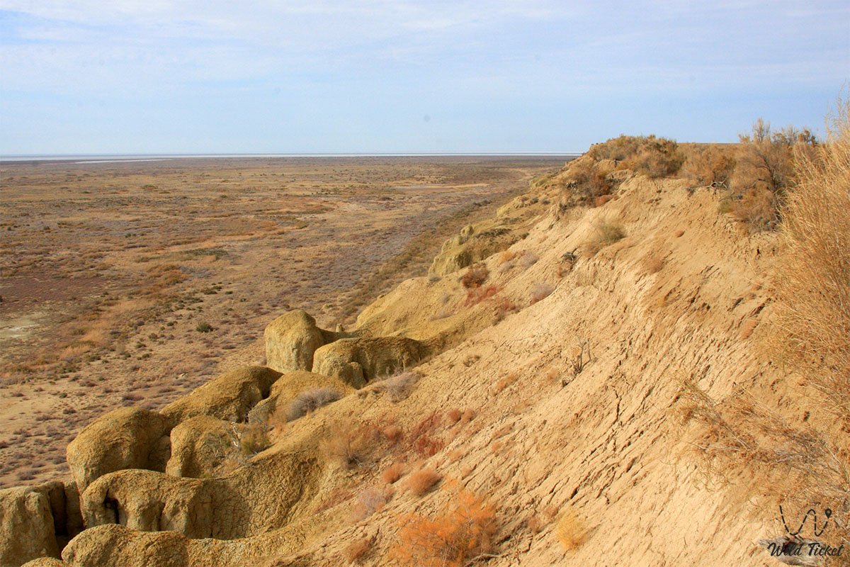
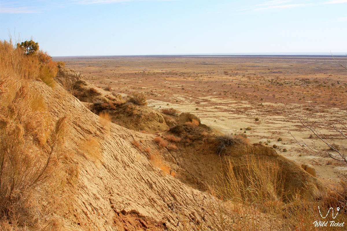
Geographically, the reserve is located at the junction of northern and middle deserts of the Turan type, covering the territory of bedded-denudation plains of former islands and primary marine accumulative plains of the exposed bottom of the Aral Sea (Aralkum Desert).
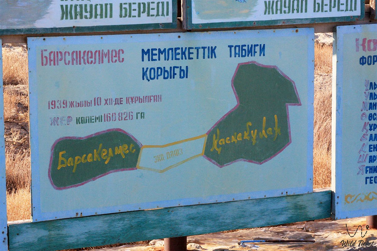
Originally established in 1929 as a hunting preserve of "Soyuzpushnina" and granted the status of a state nature reserve on December 10, 1939, on an isolated island with an area of 18,000 hectares, today the site has expanded into a large-scale biosphere reserve with a total area of 407,132 hectares.
Barsakelmes is the only reserve in Kazakhstan and one of the few in the CIS operating under conditions of an extreme anthropogenic ecological disaster of global scale that has affected this region. It is an authentic open-air "natural laboratory" where scientists study the processes of climate aridization, desertification, the formation of halo-geochemical systems, primary plant successions, and the adaptation of biota to critical environmental changes.
The reserve borders the newly revived North Small Aral Sea. The reason for its revival was the construction of the Kokaral Dam near Karateren village.
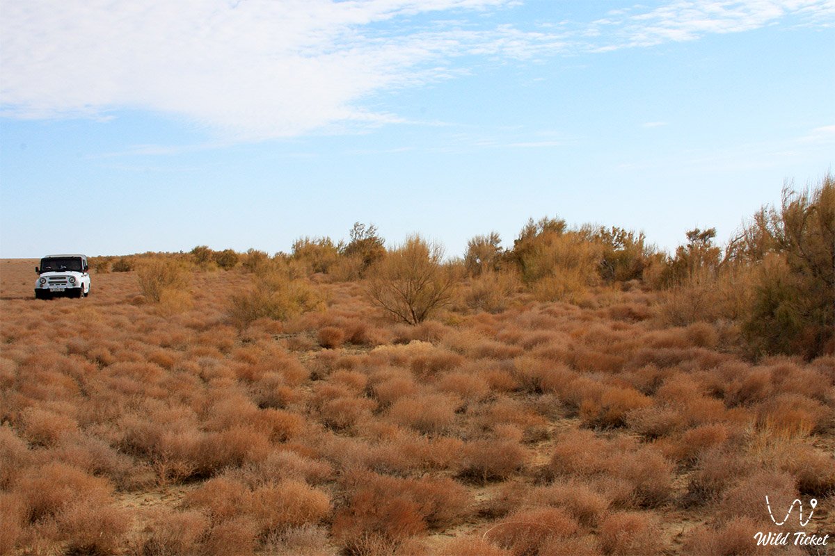
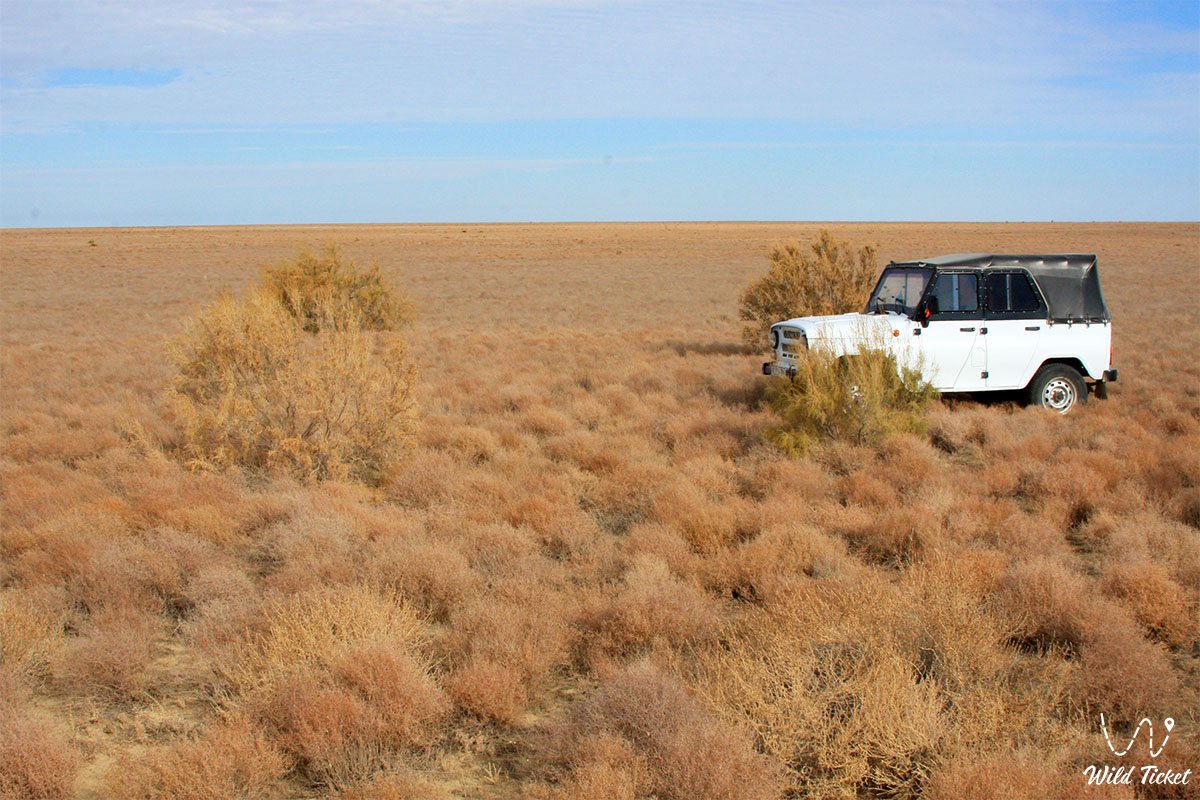
The reserve gained worldwide renown thanks to the rescue and return to the wild of the Red Book-listed kulan (a subspecies of the Turkmenian kulan), as well as the preservation of populations of the saiga antelope and goitered gazelle. For scientists, ecologists, and enthusiasts of regulated expeditionary auto-tourism, Barsakelmes unveils stunning panoramas of Martian-like chinks, boundless takyrs, saxaul woodlands, and vibrant steppe life reviving in the midst of a salt desert.
--------------------------------------------
How to get there and visit -
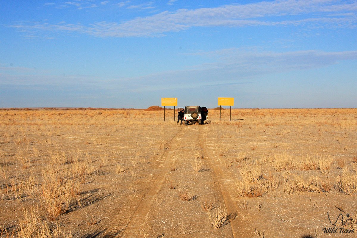
The Barsakelmes Biosphere Reserve is located in the southwestern part of the Aral district of Kyzylorda region. The central directorate and scientific department are based in the city of Aralsk. The distance from Aralsk to the "Kaskakulan" cluster and the "Barsakelmes" tract ranges from 180 to 250 kilometers along steppe graded tracks, salt-marsh ruts, and sands.
Routes pass through the villages of Karateren, Zhanakurylys, and Akbasty village. From the regional center Kyzylorda to Aralsk it is 448 kilometers along the international highway "Samara – Shymkent" (M-32).
GPS geographical coordinates of the Barsakelmes tract: 45°38'00"N 59°52'00"E
GPS geographical coordinates of the Kaskakulan cluster: 45°43'15"N 60°48'22"E
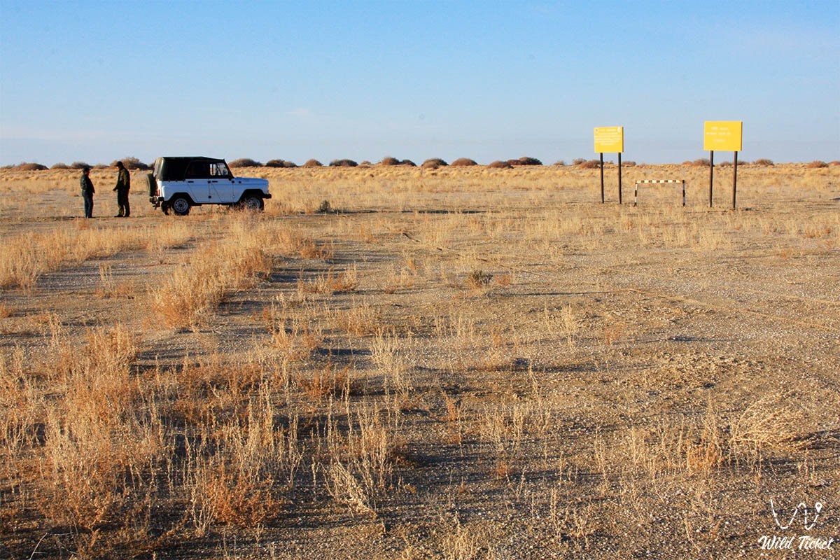
The reserve has the highest protection status, therefore unauthorized entry here is strictly prohibited by the laws of the Republic of Kazakhstan. Visiting the core zone is regulated by Articles 39 and 42 of the Law of the Republic of Kazakhstan "On Specially Protected Natural Territories": entry is permitted exclusively with official permits and passes from the authorized state body (Forestry and Wildlife Committee of the Ministry of Agriculture of the Republic of Kazakhstan) and the reserve directorate, only accompanied by protection inspectors or researchers along approved eco-trails.
In the buffer and transit zones, ecotourism aimed at getting acquainted with the nature of the Syr Darya River and the color of steppe life is allowed.
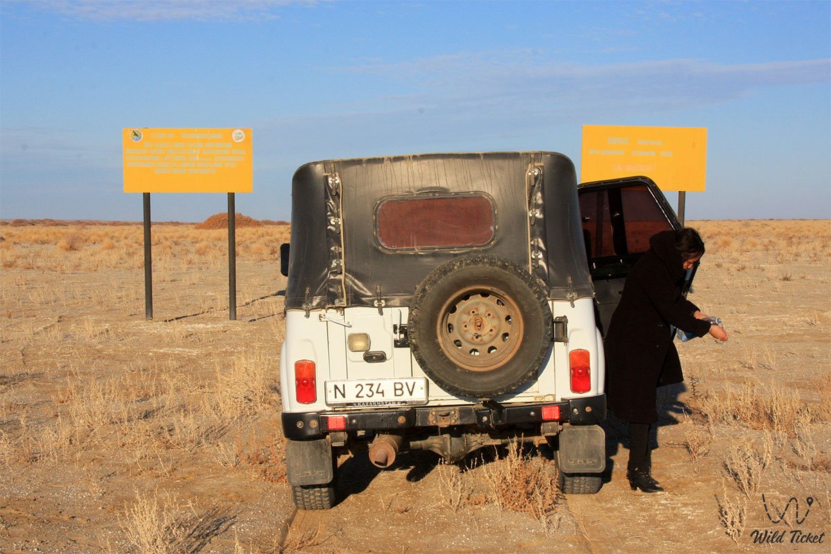
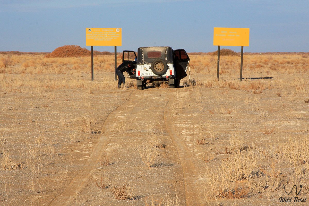
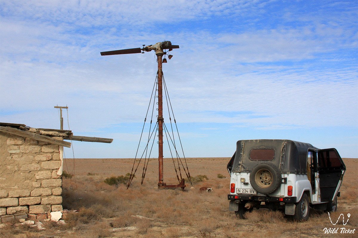
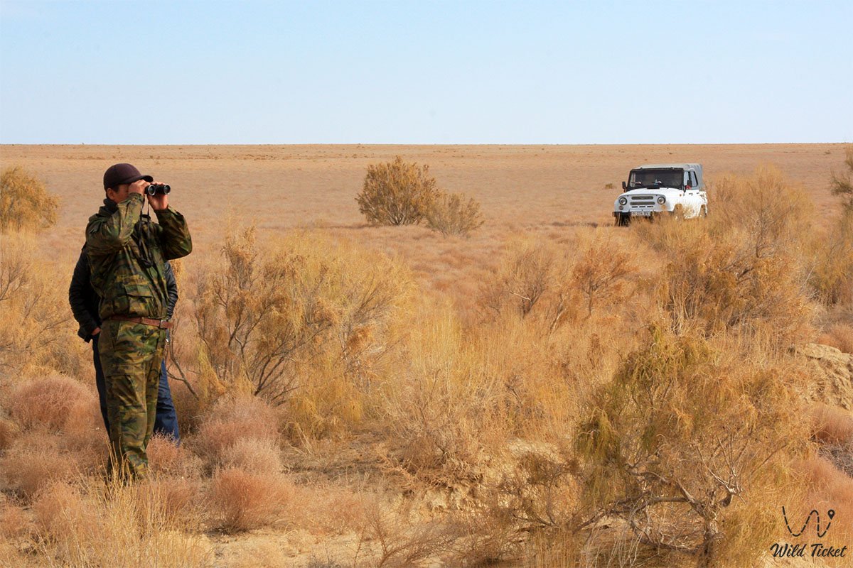
Movement along the reserve's routes is possible only in prepared frame-based off-road vehicles (4x4) with high ground clearance, reinforced suspension, winches, and expedition mud tires. Passenger cars will not pass through deep sand drifts and shifting sections, as well as dangerous hidden salt marshes (batpaks), where treacherous liquid silt lies beneath a brittle white crust of salt.
For safety purposes, expeditions are formed with at least two crews. Vehicles are equipped with satellite communications, GPS navigators, compressors for airing down tires on sand, hi-lift jacks, sand tracks, tow straps, a fuel reserve for 600–700 km of autonomous travel, and drinking water calculated at 5–6 liters per person per day.
The best time to visit is spring (from mid-April to late May), during the flowering of ephemeroids and mild temperatures, as well as early autumn (September – October). During summer months, extreme heat reigns on the plateau with temperatures up to +39.4...+45 °C, the air becomes arid, and salt-and-sand storms carry toxic dust. In winter, frosts down to -31 °C rage on the peninsula and tracts accompanied by hurricane winds (ranging from 8 to 31 days with severe blizzards per winter).
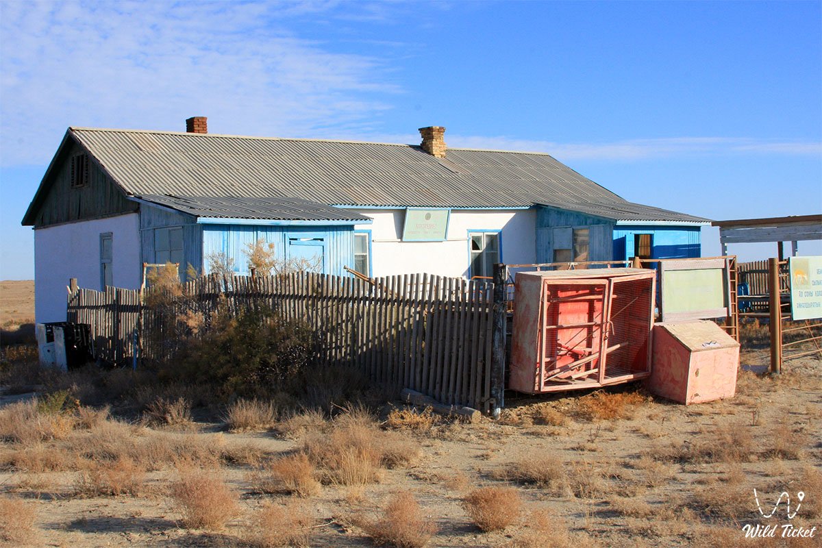
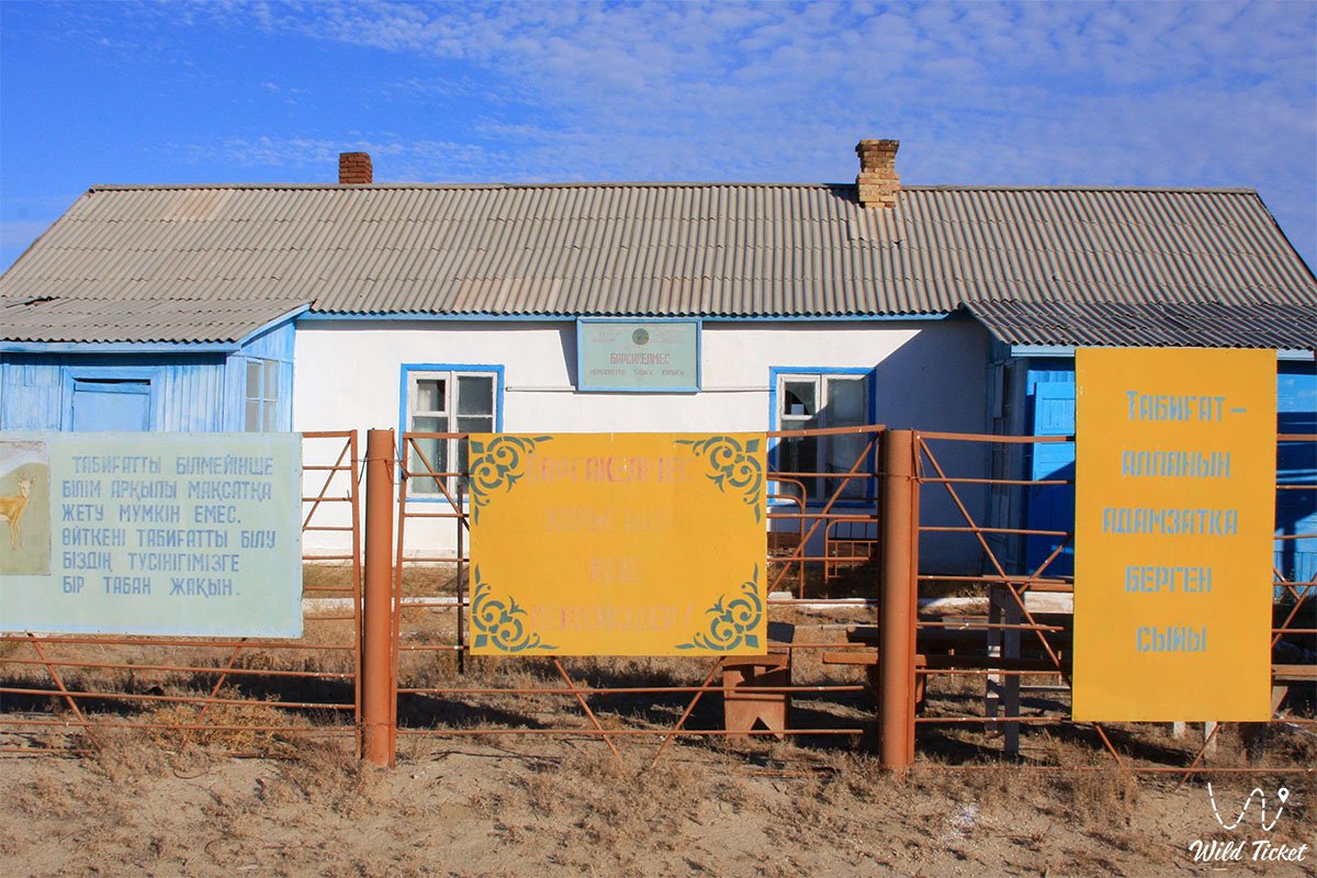
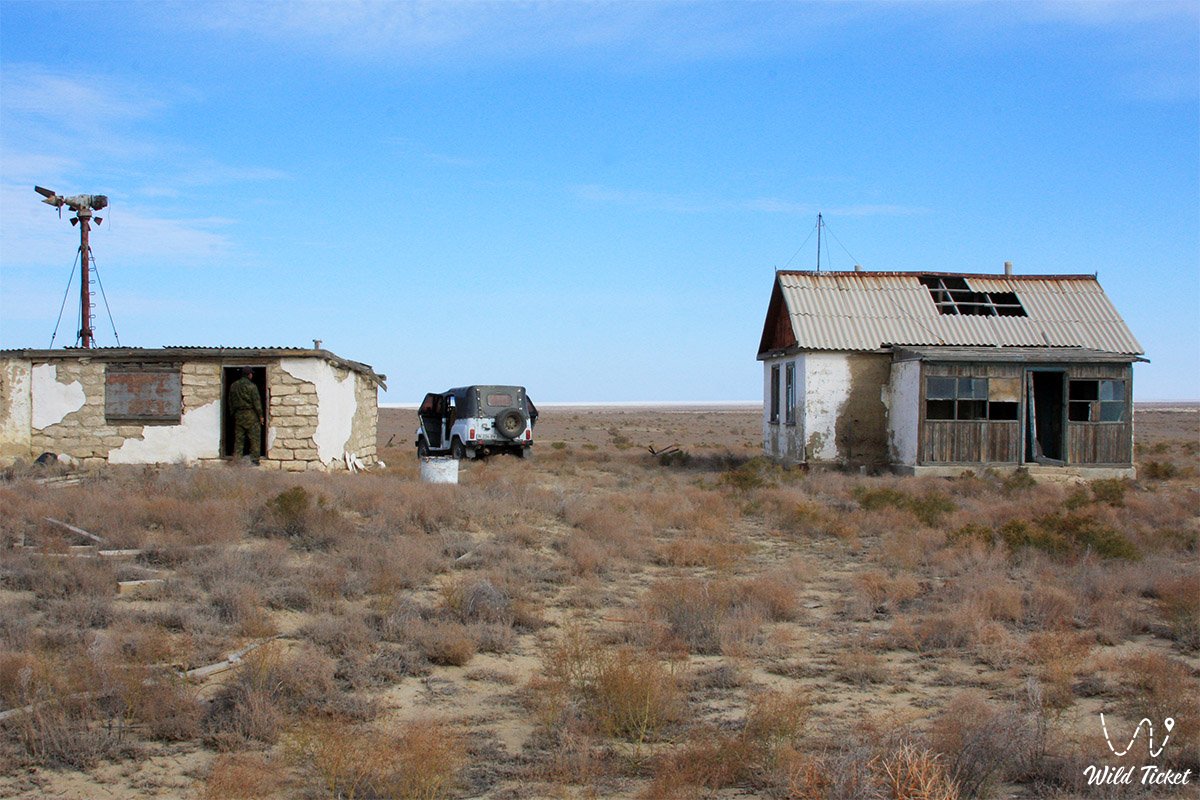
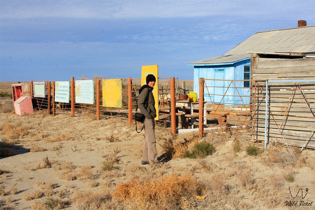
There are no tourist hotels on the territory of the core zone. Expeditions are accommodated at active ranger stations (there are four of them in the Barsakelmes area) or in autonomous field tent camps in specially designated zones. In the transit zone, overnight stays are possible in guest houses in the villages of Karateren, Akbasty, or in hotels in the city of Aralsk.
--------------------------------------------
History
The historical discovery and mapping of Barsakelmes Island began in 1831, when the Russian scientist and geographer A. I. Levshin first charted its contours on a topographic map of the Aral Sea. In August 1848, a hydrographic expedition under the command of Lieutenant Commander Alexei Ivanovich Butakov on the schooner "Konstantin" carried out the first detailed survey of the coast.
Officers A. I. Maksheev and A. A. Akishev completed landscape descriptions, and the exiled private – the great Ukrainian poet and artist Taras Grigorievich Shevchenko – created the first pencil drawings and watercolors of the Barsakelmes cliffs (including a sketch of an unusual find described as a snake egg), which are kept in Kyiv today. Participants of the expedition gathered a herbarium of plants from the western tip of the island, transferred to the Botanical Institute in Saint Petersburg.
In 1874, zoologist V. D. Alenitsyn explored the islands, and in July 1900 the prominent geographer L. S. Berg visited the island. Before the revolution, there was no permanent population on the island: fish-merchant industrialists (for example, a merchant from Avan whose name was preserved in the name of the Petkin-Kul reservoir) built dams in ravines to collect fresh meltwater, dug dugouts, sowed barley, and gathered saxaul.
In 1929, the "Soyuzpushnina" trust established a commercial hunting farm on the island: saigas, goitered gazelles, European hares, yellow ground squirrels, grey partridges, and Syr Darya pheasants were delivered here. Artificial dams (buguty) were created to concentrate fresh water. On December 10, 1939, by decree of the Council of People's Commissars of the Kazakh SSR, a state nature reserve was established (at that time saigas numbered 50–60 head). In the field seasons of 1940–1941, graduates of the S. M. Kirov Kazakh State University launched scientific operations here.
In 1953, 9 Turkmenian kulans (2 males and 7 females) were delivered from the Badkhyz Nature Reserve in Turkmenistan to save the endangered species (the last wild kulan in Kazakhstan died in 1936). The animals acclimatized successfully: by 1983, as many as 242 kulans, 230 saigas, and 160 goitered gazelles inhabited the island.
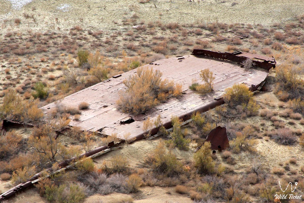
The catastrophic drying up of the Aral Sea from the 1960s destroyed the reserve's isolation. The salinity of the seawater exceeded all norms, freshwater bodies dried out, and artesian wells were depleted. To save the herd of kulans from perishing, zoologists evacuated over 250 individuals: some were relocated to the "Altyn-Emel" National Park, others to the chinks of Ustyurt and to the Caspian region. About 50 individuals were left on the island, managing to survive and adapt.
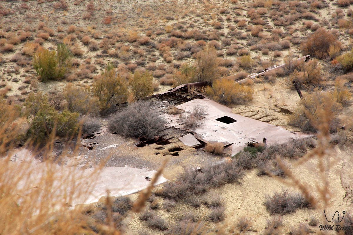
In the late 1980s – 1990s, the island became a peninsula, and by 2009 the sea retreated completely: Barsakelmes turned into a hilly tract surrounded on all sides by the salt marshes of the Aralkum. In 2005–2006, the territory of the reserve was expanded nearly tenfold, including the Kaskakulan tract, where artesian boreholes provided the animals with lifesaving watering places.
Information
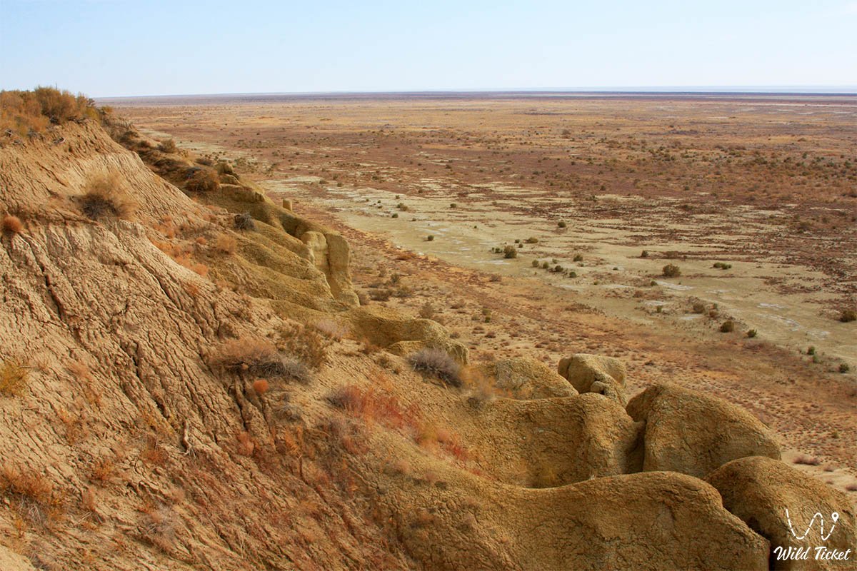
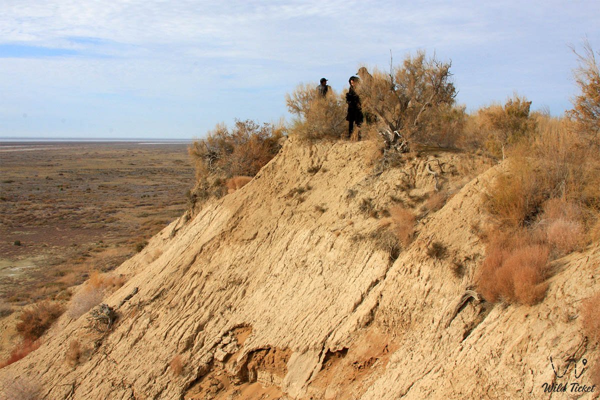
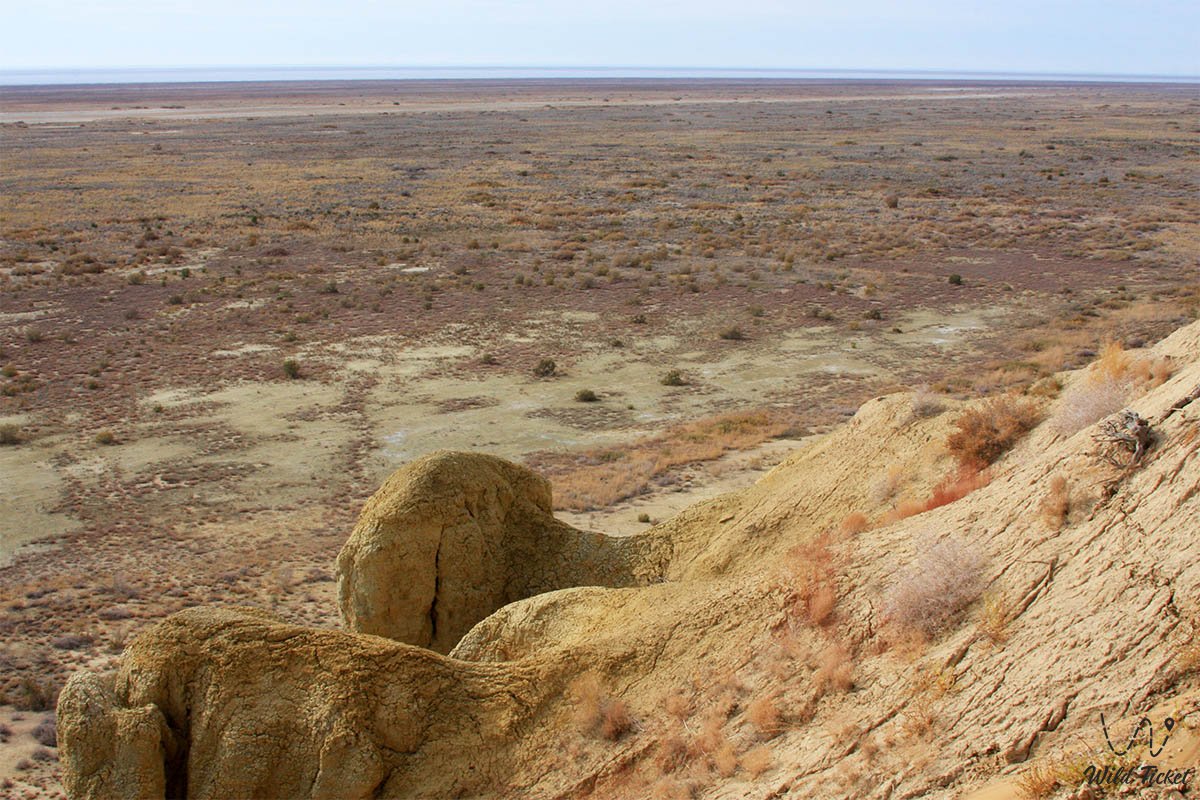
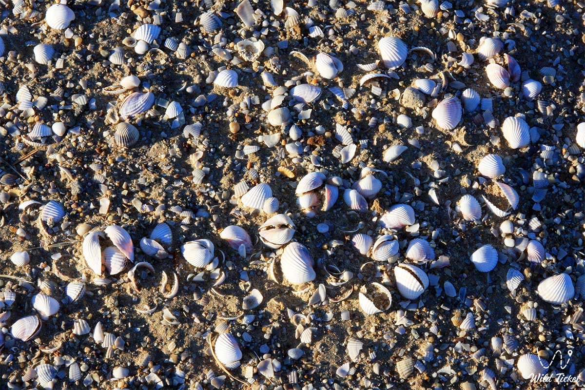
In geomorphological terms, the territory of the reserve is divided into an elevated bedded-denudation plain (the indigenous plateau of the former island) and a marine accumulative plain of the drained seabed. The bedrock massif is composed of Oligocene deposits: greenish-gray gypsiferous clays of the Chegan formation with shells of fossil mollusks, platy sandstones and gravelites of the Kutanbulak formation, as well as Miocene clays of the Aral formation.
In the south, the plateau breaks off in ledges up to 60 meters high above the historical sea level. The badland landscapes (the badlands of Eastern and Western Kebirsay) are unique – erosional labyrinths of ravines with gypsum crystals. The soil cover is composed of gray-brown slightly saline soils under wormwood communities, highly saline solonetzic soils under biyurgun communities, takyrs, and puffy solonchaks.
The territory of the protected core is divided into two isolated clusters: the "Barsakelmes" section with a total area of 50,884 ha (core – 37,725 ha, buffer – 13,159 ha), uniting the historical island territory (16,975 ha) with the drained seabed, and the "Kaskakulan" section with an area of 109,942 ha (core – 68,154 ha, buffer – 41,788 ha), which became the main refugium for ungulates due to the presence of fresh self-flowing artesian boreholes.
In March 2016, the reserve was officially included in the UNESCO World Network of Biosphere Reserves, and in 2012 the grounds of the Syr Darya delta in its transition zone were designated as wetlands of international importance under the Ramsar Convention.
The reserve serves as a unique base for scientific research: biologists of Kazakhstani institutes, scientists of the Korkyt Ata Kyzylorda University, and specialists from Germany, Japan, and Russia study the anthropogenic dynamics of ecosystems here across four fundamental scientific directions.
In socio-economic terms, the reserve is closely linked with the Aral district (territory of 5.55 million ha, population of 74.7 thousand people, density of 1.2 people/km²). The local population of delta auls (Karateren, Zhanakurylys) is traditionally engaged in livestock breeding and fishing. Thanks to the stabilization of the Small Aral and increased Syr Darya runoff, commercial fishing of 18 fish species (carp, pike perch, asp, bream, grass carp, sabrefish) has recovered; valuable species returned to replace the European flounder introduced in the 1990s, and the "Araltuz" and "Atameken Rybprom" plants and the Kamystybas fish hatchery (with a capacity of 15 million fingerlings) are operational.
In the buffer zone, ecotourism, production of camel wool and felt goods (terme-alasha, korpe), and the production of local construction materials are developing.
Flora and fauna
The plant world of the protected core numbers 298 species of vascular plants from 50 families and 176 genera (an additional 112 species are described in the transit zone of the delta). Chenopodiaceae, Asteraceae, Poaceae, Fabaceae, and Polygonaceae dominate. The largest genera are dzhuzgun (Calligonum – 16 species), wormwood (Artemisia – 11 species), saltbush (Atriplex – 11 species), and milkvetch (Astragalus – 8 species). The territory is home to 14 endemics of Kazakhstan, including the narrow-local neo-endemic Pratov's saltbush (Atriplex pratovii), Aral and broom wormwood, and Calligonum crispum, Calligonum humile, and Calligonum talibinii.
The Red Book of the Republic of Kazakhstan includes Borshchov's tulip (Tulipa borszczowii), two-flowered tulip (Tulipa biflora), and Pratov's saltbush, while the rarest Scirpus kasachstanicus and Nymphoides peltata are protected in the Syr Darya delta.
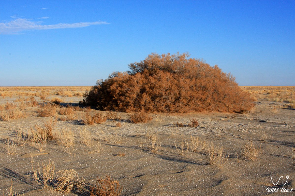
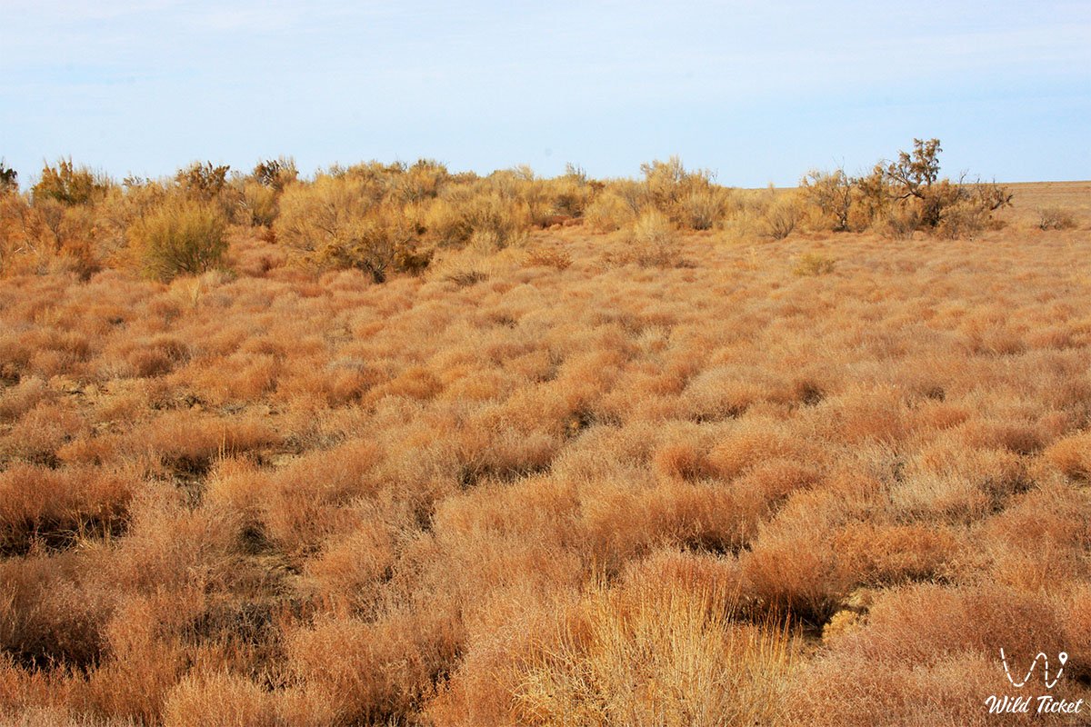
The foundation of the plakor phytocenoses is formed by wormwood-biyurgun communities: gray-soil wormwood (Artemisia terrae-albae), biyurgun (Anabasis salsa), and desert wheatgrass (Agropyron desertorum). Communities of black saxaul (Haloxylon aphyllum), white saxaul (Haloxylon persicum), tamarisk, sand acacia, and Atraphaxis are developed on sands. In spring, an ephemeral carpet flares up: Adonis ("ember in fire"), corydalis, geranium, Tatar rhubarb, and Leontice incerta bloom.
The reserve's fauna includes 30 species of mammals (71.4% of the mammal fauna of Kazakhstan's deserts). The main pride is the recovered group of the Turkmenian kulan (276 individuals in the reserve, more than 3,000 head across Kazakhstan), the goitered gazelle, and the saiga. The long-eared hedgehog, rare pygmy jerboa, small five-toed jerboa, small jerboa, yellow ground squirrel, marbled polecat, corsac fox, badger, and steppe wolf live here.
The herpetofauna is represented by 20 reptile species (46.9% of the republic's herpetofauna, 14 species are Turan endemics), among which are the toad-headed agama, plate-tailed gecko, arrow snake, and steppe tortoise. There are 2 amphibian species: the green toad and marsh frog. The entomofauna exceeds 2,000 species from 12 orders, with 107 arachnid species.
The avifauna numbers 178 species in the reserve and up to 250 species in the delta (including 40 rare and 27 Red Book species): houbara bustard (chlamydotis), black-bellied and white-bellied sandgrouse, Pallas's sandgrouse, Dalmatian pelican, marbled duck, white-headed duck, ferruginous duck, little egret, whooper swan, Bewick's swan, golden eagle, steppe eagle, eastern imperial eagle, short-toed snake eagle, saker falcon, sociable lapwing, pale-backed pigeon, and eagle owl.
The Syr Darya delta serves as a key migration hub for 20,000–50,000 wetland birds from Siberia to Asia and Africa (an IBA territory). The ichthyofauna of delta water bodies includes the Red Book-listed Aral barbel, Aral shemaya, and Aral white-eye bream.
Climate
The climate of the reserve is sharply continental: the average annual air temperature is +8.7 °C, the average January temperature is -8.8 °C (minimum down to -31 °C), and July is around +26 °C (maximum +39.4 °C). The frost-free period lasts 204–223 days, and the annual precipitation norm is only 108 mm (ranging by year from 25 to 208 mm). There are no permanent rivers or lakes on the former island; temporary water bodies appear only during spring snowmelt.
Legend
The name Barsakelmes ("You will go, you will not return") is shrouded in ominous and dramatic legends. The oldest Kazakh legend recounts that during inter-tribal wars, a noble bai decided to hide his family, clansmen, and countless flocks on an island rich in pastures. In winter, across the thick Aral ice, the nomads safely reached the land, set up dugouts, and wintered, heating stoves with saxaul. However, in spring, a crushing storm arose that broke up the ice, and the ensuing arid summer dried out all melt puddles and snow wells. Without a drop of fresh water, both livestock and fugitives perished. Only the following winter did relatives cross the strait on the ice and find snow-drifted yurts with the remains of their loved ones. Since then, the blue elevation amid the sea was named an accursed place.
Other beliefs associated the island with giant seven-meter snakes, poisonous spiders, and ancient flying lizards guarding the tranquility of the desert (a huge snake egg was even captured in his study by Taras Shevchenko). In literature, the island was made famous by Boris Lavrenyov's novella "The Forty-First".
In Soviet times, urban legends were born about time traps and UFO landings: stories were told of a 1935 topographic expedition whose members returned after three months, convinced they had spent three days on the plateau, and of escaped convicts who hid for "two years" while decades passed on the mainland. Part of these fantastic rumors was launched in the 1980s by the future science-fiction writer Sergei Lukyanenko, which he openly admitted in 2002. However, the real story of nature's fight for life on Barsakelmes proved far more wondrous than any myths.
Conclusion
Barsakelmes State Nature Biosphere Reserve is a monumental symbol of the triumph of life over a planetary disaster. Having survived the death of the Aral Sea, the loss of its island status, and water deficits, the reserve preserved its status as a reference natural laboratory, proving to the world the possibility of restoring endangered species – graceful kulans, saigas, and goitered gazelles.
An expedition along strictly verified routes of Barsakelmes grants scientists and tourists a profound experience: the opportunity to touch primary forms of soil origin, feel the majesty of the chalk cliffs of Bayan, and realize humanity's supreme responsibility for preserving the fragile balance of the Earth.
Interesting sights nearby:
• Barsakelmes Island (former);
• Large Aral Sea;
• Kokaral Dam in the Berg Strait;
• Butakov Bay;
• Shevchenko Bay;
• Aralkum Desert (dried seabed);
• Akbasty Village;
• Karateren Village;
• Lake Kamystybas (Kambash);
• Aral-Asar Settlement;
• Kerderi Mausoleum;
• Akespe Village;
• Istyk-Su Hot Radon Spring.
Photogallery: