Turquoise lagoon of Southern Mangyshlak, sandspit of the Caspian –
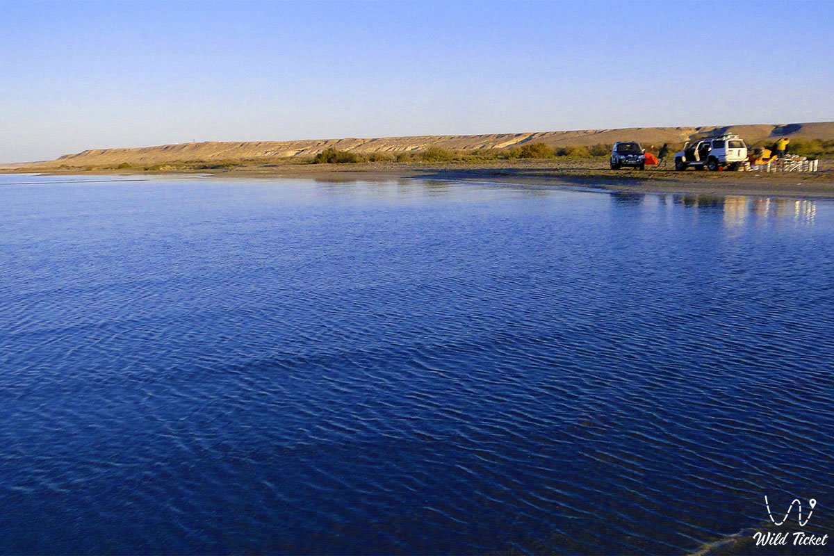
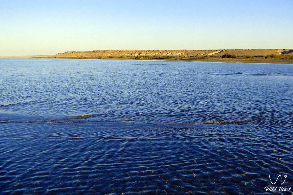
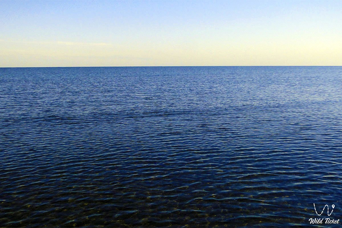
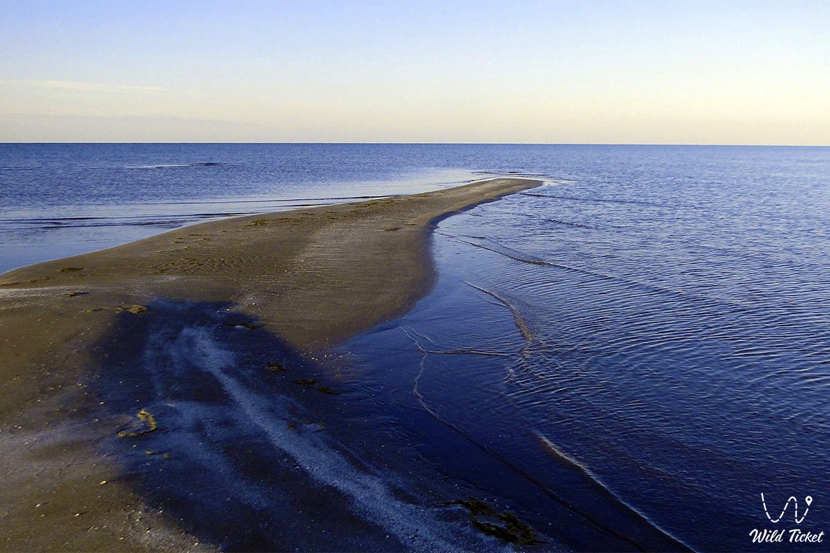
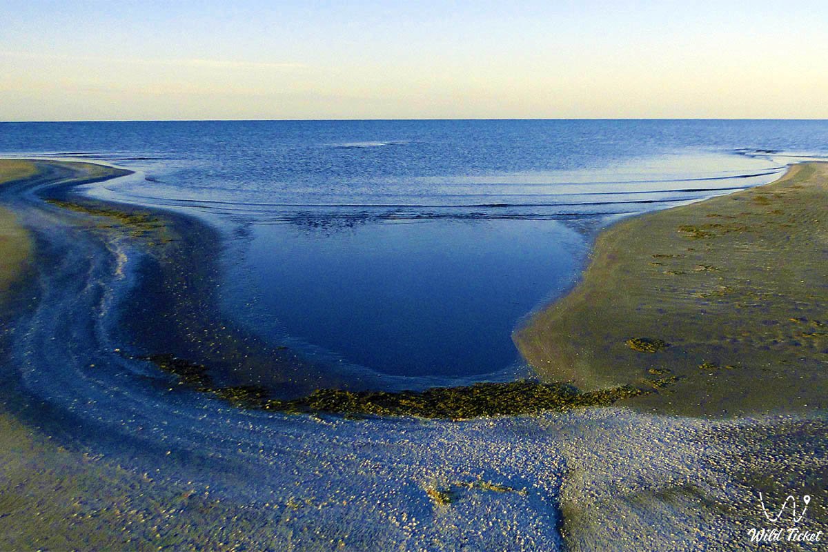
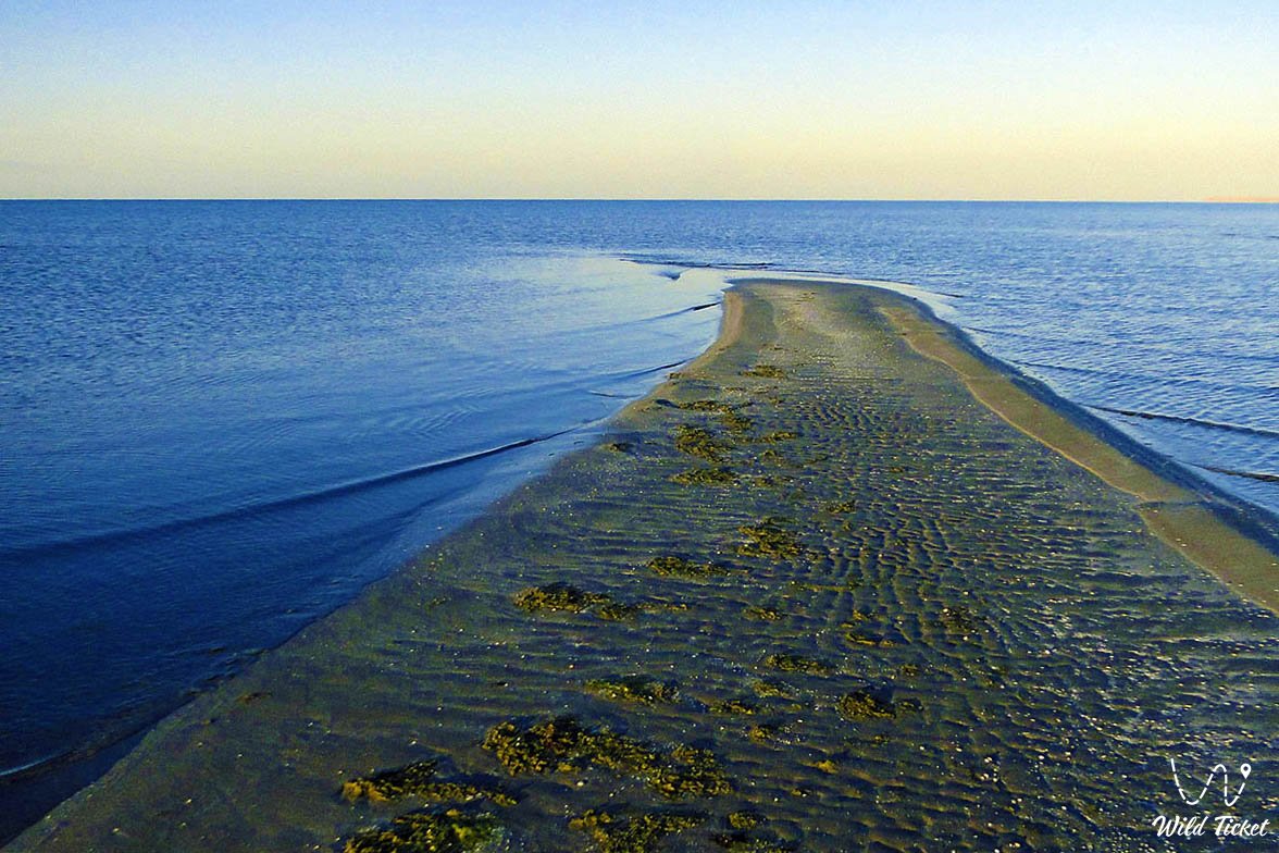
Kenderli Bay (Kaz. Kendirli shyghanaghy) represents a scenic shallow lagoon-type marine bay, a unique coastal geomorphological landmark, and the primary recreational center located in the Karakiyan district of Kazakhstan. The bay indents the eastern coast of the Caspian Sea in the southern section of the Mangyshlak Peninsula for 23 kilometers with a width of up to 5 kilometers, being naturally barricaded from open stormy seas by the narrow Kenderli sandspit and the limestone escarpments of Cape Tokmak to the north.
In the travel logistics of the Southern Cluster of Mangystau, the bay and the adjoining recreation resort serve as an excellent starting point for coastal itineraries. The littoral route to the north links the bay with Cape Zhylandy, a therapeutic warm radon spring, the seaside village of Kuryk, Aleksandrbay Gulf, and the ferry terminal of Port Kuryk, as well as the colossal scarp of the Karagiye depression (-132 meters below sea level) with the dazzling Batyr salt flat.
The coastal relief was shaped by the evolution of the ancient Tethys Ocean and Late Quaternary marine terraces of the Caspian. Heading east through the oil hub of Zhanaozen, direct expedition routes lead deep into the continental interior: toward the golden dunes of the Senek (Tuyesu) sand massif, the stepped precipices of the Kenderli-Kayasan Plateau, the Kenderli-Kayasan protected area, and the relict basin system of Basgurly – Zhazgurly.
Owing to its sheltered barrier spit and shallow bathymetry, water here warms rapidly, establishing a mild microclimate that draws flocks of flamingos, swans, and Caspian seals hauling out onto sandy bars. The shores of the bay and the Kenderli resort area provide a comfortable field base for travelers prior to launching into the cyclopean chalk canyons of the Bozzhira tract, the banded Mount Bokty, the boundless snow-white sors of the Karynzharyk depression, the shimmering Kenderli salt flat with the "Three Brothers" outliers, the immense Tuzbair salt flat with its blinding white chinks, and the strict cordons of the Ustyurt Nature Reserve.
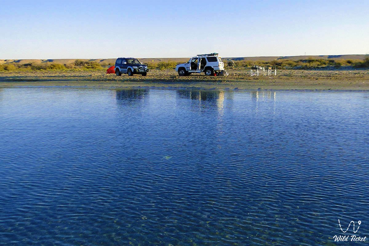
For self-drive travelers and vacationers, Kenderli Bay serves as an ideal seaside refuge: people travel here for superb coastal fishing targeting Caspian mullet and pike-perch, scenic camping against sunset-lit waters, and the chance to observe Caspian seals surfacing near rocky headlands alongside flocks of migratory flamingos. Today, Kenderli Bay and the Kenderli resort area are recognized as the flagship of seaside leisure tourism in the Mangystau region, drawing overland road-trippers, beach enthusiasts, and Caspian explorers with velvety sandy beaches, pristine turquoise water, and a mild maritime climate.
--------------------------------------------
How to get there and visit –
Kenderli Bay is situated on the far southwestern coast of the Mangyshlak Peninsula in the Karakiyan district, Mangystau region, roughly 70–75 km southwest of the city of Zhanaozen, 140–150 km southeast of the village of Kuryk, and 210–225 km southeast of the regional administrative center, the city of Aktau.
GPS geographical coordinates of Kenderli Bay:
42°40'52"N 52°41'25"E
The route from the city of Aktau leads southeast along a first-class paved highway of republican significance through the Karagiye depression to the city of Zhanaozen (about 150 km). From the Zhanaozen traffic circle, continue southwest along the well-surfaced paved Zhanaozen – Kenderli highway (about 65–70 km), which leads directly into the coastal zone of the bay and the security checkpoint of the Kenderli recreation area. Travel time from Aktau in a passenger car takes about 2.5–3 hours; the road is paved throughout its entire length and remains accessible to any type of vehicle year-round.
An alternative approach is the coastal route from Aktau through the village of Kuryk via paved road, from where compacted gravel-and-sand graders trace south toward Cape Tokmak and Kenderli Bay along the Caspian coast. This path requires a crossover or 4x4 off-roader, but it allows visitors to explore wild rocky bays.
Navigating directly along the Kenderli sandspit and untamed tracks around the bay requires a four-wheel-drive vehicle (4x4) with lowered tire pressure: dry shell sand is highly loose, and heavy vehicles with high tire pressure risk bogging down into the substrate.
Driving onto the treacherous silty shoals of the salt sors at the head of the bay is strictly prohibited. It is recommended to carry a tire inflator compressor, a kinetic recovery strap, and a shovel.
Visiting regime: the coastal zone of the bay is open to tourists and holidaymakers. Entry into the Kenderli resort grounds and adjacent public beach sectors is governed by resort rules. Given the proximity of Kazakhstan's maritime border on the Caspian, each traveler must carry an original passport or national ID card in the event of checks by border patrols.
Infrastructure along the bay is centered around the Kenderli recreation complex: here operate modern hotel blocks, chalets, restaurant establishments, open and indoor swimming pools, a wellness spa center, sports grounds, tennis courts, bowling, water sports rental stations (jet skis, motorboats, catamarans), and fully appointed beaches with sunshades and loungers.
For wild camping with tents along the sandspit, complete field autonomy is required: potable water reserves, shade tarps against scorching sun, and spare fuel. The nearest network gas stations, vehicle workshops, supermarkets, pharmacies, and hospitals are located in the city of Zhanaozen. Within resort grounds, cellular connectivity and 4G internet from major Kazakh operators function reliably.
The best season to visit is the swimming window from early June through mid-September, when the shallow waters of the bay warm to +24...+27 °C and calm, sunny weather prevails, ideal for swimming, stand-up paddleboarding, and seaside relaxation. Spring (April – May) and autumn (September – October) are suited for sport angling, bird-watching during migratory passages, and peaceful walks along the coast without summer heat.
--------------------------------------------
History
The history of Kenderli Bay is linked with age-old routes of mariners and nomadic migrations along the eastern shore of the Caspian. The elongated, narrow Kenderli sandspit historically functioned as a natural breakwater, behind which calm water persisted even through fierce autumn gales.
The bay received its name from the Kazakh word "kandir" (wild hemp, Apocynum or Indian hemp) – a fibrous meadow plant whose dense growth historically clustered across damp sandy depressions and freshwater surface seepages along the coast. Local nomads used kandir fibers to weave durable ropes, lariats, and fishing nets.
During the 18th and 19th centuries, the waters of Kenderli Bay emerged as one of the primary fishing centers of Southern Mangyshlak for Kazakhs of the Aday clan and Russian fishing cooperatives. Valuable fish species (mullet, sturgeon, pike-perch) were harvested in volume from the quiet waters, while commercial seal hunting was practiced across the outer sandy islets and reefs of Cape Tokmak. Historical nautical charts frequently marked the bay as a dependable harbor of refuge for merchant vessels plying routes between Astrakhan, Baku, the Khiva Khanate, and Persia.
In the mid-20th century, hydrographers and geologists documented the natural parameters of the bay. They determined that due to its shallow depths, insulation from cold open-sea currents, and abundant sunshine, the bay possessed a favorable balneological and recreational microclimate surpassing many sectors of the Caspian coastline.
A new chapter began in the late 1990s and early 2000s when regional oil extraction enterprises undertook the construction of a modern year-round wellness retreat along its shoreline. This gave rise to the flagship Kenderli resort, which became a prominent destination in the hospitality industry of the Mangystau region.
Information
Morphometrically, Kenderli Bay is an elongated, semi-enclosed lagoon extending northwest to southeast along the shoreline for 23 kilometers with a width spanning between 1.5 and 5 kilometers. The bay is partitioned from the open Caspian Sea by the sandy-coquina Kenderli Spit, which stretches up to 20 kilometers in length and varies from 50 to 800 meters in width. The surface level of the water mirror matches the Caspian datum (-28 meters below world sea level).
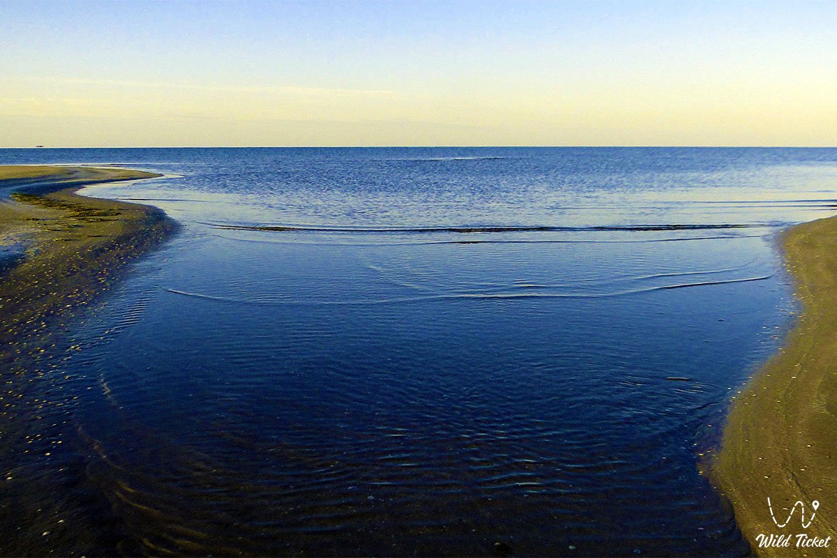
The hydrological regime is defined by shallow depths: the average depth of the water area measures 1.5–2.5 meters, while maximum depth at the mouth of the bay does not exceed 3.5–4 meters. Owing to shallow waters and restricted circulation, water temperatures inside the bay climb much faster than in the open sea: during July and August, water temperatures reach +26...+28 °C. In winter, the bay freezes over only during exceptionally severe seasons, producing a thin ice fringe for 1–2 weeks. Water salinity is somewhat higher than the Caspian mean, measuring around 12–14 parts per thousand due to high solar evaporation.
The geological basement consists of Quaternary marine sedimentary strata from the Khvalynian and Neo-Caspian transgressions, mantling slabs of Sarmatian coquina limestones of the ancient Tethys Ocean. The Kenderli Spit represents an aggradational coastal depositional landform, built up by opposing longshore currents and surf action from quartz sands and crushed mollusk shells.
Soil cover of the coastal zone comprises loose littoral sands, shell deposits, coastal crustal salt sors at the inner head of the bay, and gravelly gray-brown desert soils across adjoining bedrock terraces.
The climate is temperate desert with noticeable maritime traits. Summers are hot, dry, and extended, with average July daytime temperatures of +30...+34 °C (peaking up to +40 °C), though daytime sea breezes temper the heat. Winters are mild, with January temperatures averaging around 0...-3 °C. Precipitation remains minimal at 120–140 mm annually, while sunshine exceeds 280 days per year, making the bay one of the sunniest parts of Kazakhstan.
Detailed description of the venue
The natural and recreational ensemble of Kenderli Bay includes the following coastal sectors, zones, and holiday destinations:
• Kenderli sandspit – a 20-kilometer natural sand-and-coquina barrier separating the calm lagoon waters from the open Caspian Sea, well suited for secluded beach camping.
• Kenderli recreation area – an organized retreat along the northern shore of the bay featuring hotel buildings, shaded paths, swimming pools, sports facilities, and a landscaped seaside promenade.
• Inner turquoise lagoon – a shallow basin with clear, warmed water and a gentle sandy slope, providing safe conditions for swimming and water sports.
• Marine pier and boat station – an engineered pier within the resort quarter serving as a dock for motorboats, jet skis, paddleboats, and day-cruise vessels.
• Northern limestone faces of Cape Tokmak – rocky scarps of Sarmatian limestone bordering the entrance of the bay, sheltering the basin from open swells and serving as a scenic vantage point.
• Southern shallow sor and avian mudflats – the innermost reach of the bay featuring silt and salt flats where thousands of feeding waterbirds congregate.
Flora and fauna
Plant communities along the shores of Kenderli Bay are represented by psammophytic and halophytic assemblages of coastal desert. Sandy tracts along the spit support feather grass, sea rocket, Russian saltwort, Tatar orache, camelthorn (dzhantak), and reed beds near brackish ground seepages. The mainland clay-gravel terraces are dominated by gray-soil wormwood, Anabasis salsa (biyurgun), boyalych, and Krascheninnikovia (teresken). Micro-depressions shelter clumps of tamarisk (saltcedar) and black saxaul. In spring, wild tulips, desert irises, and small ephemerals bloom briefly.
Fauna includes an array of marine and coastal species. Along the seaward face of the spit and across the reefs of Cape Tokmak, Caspian seals are regularly sighted resting on warm sandbars. The fish fauna is diverse: warmed waters support feeding and spawning of Caspian mullet (singil), wild carp, Caspian roach, pike-perch, bream, Caspian herring, and various gobies.
Avifauna exceeds one hundred species. The shallows of Kenderli are a major stopover along regional migration routes. Regularly observed here are Caspian gulls, Pallas's gulls, common terns, waders, common shelducks, grey and little egrets, Eurasian coots, and great cormorants. From early spring to late autumn, greater flamingos, flocks of mute swans, whooper swans, and Dalmatian pelicans stage across the shallows.
Terrestrial mammals across surrounding semi-deserts include the tolai hare, corsac fox, long-eared hedgehog, steppe polecat, and gerbil colonies. Goitered gazelles occasionally approach coastal watering sites from the Kenderli-Kayasan Plateau.
Herpetofauna is represented by the agile steppe agama, toad-headed agama, sand boa, arrow snake, dione snake, and four-lined snake. Solifuges and black widow spiders (karakurt) inhabit sun-warmed sand dunes.
Legend
An ancient Kazakh legend concerning the Maiden's Silk Thread and the Sea Storm is linked to Kenderli Bay.
Tradition tells that in eras of nomadic migrations, a beautiful maiden named Kendir lived along the shores of the warm bay, renowned for her ability to spin fine, unbreakable cords from coastal plants. No arrow could pierce chainmail woven by her hands, and nets woven from her threads could hold any fish.
Her beloved, a fearless maritime dzhigit, ventured out into the open Caspian by boat to secure fish for his aul. Suddenly, the sky darkened and a violent tempest struck the coast. Waves climbed skyward, threatening to shatter boats against the headland rocks. The dzhigit could not make his way back through the surging sea.
Kendir knelt at the water's edge, unbraided her long hair, wove it together with stems of coastal kandir, and cast a golden thread into the surging waves. The thread reached out leagues across the water; where it settled upon the surface, the waves grew still, and the seabed rose into a golden sandy embankment. Along this sandy ridge, her beloved and the fishermen of the camp safely made their way back into the calm lagoon.
The thread itself transformed into the long golden spit sheltering the bay from the wrath of the open sea. Ever since, people have called this harbor Kenderli in remembrance of the maiden whose devotion tamed the Caspian waters.
Conclusion
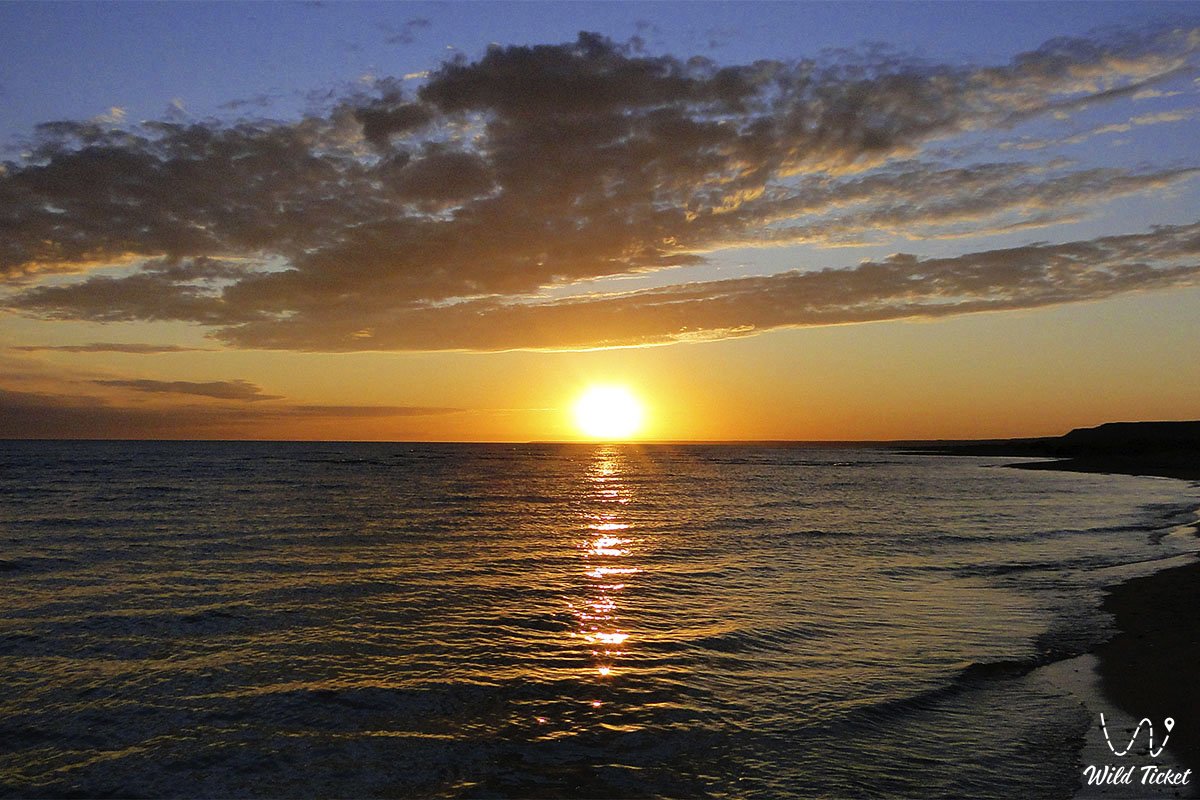
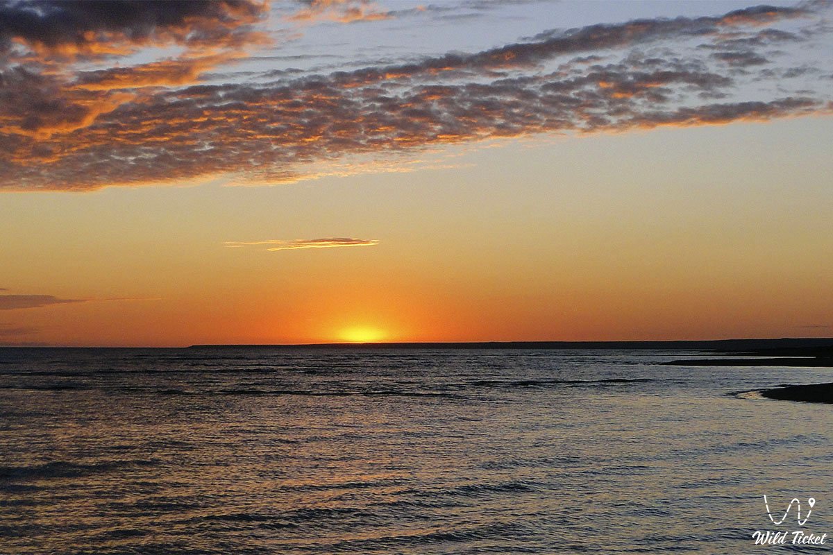
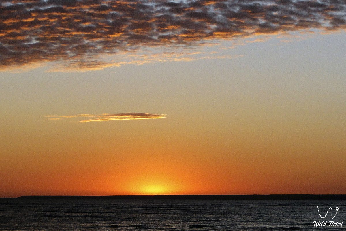
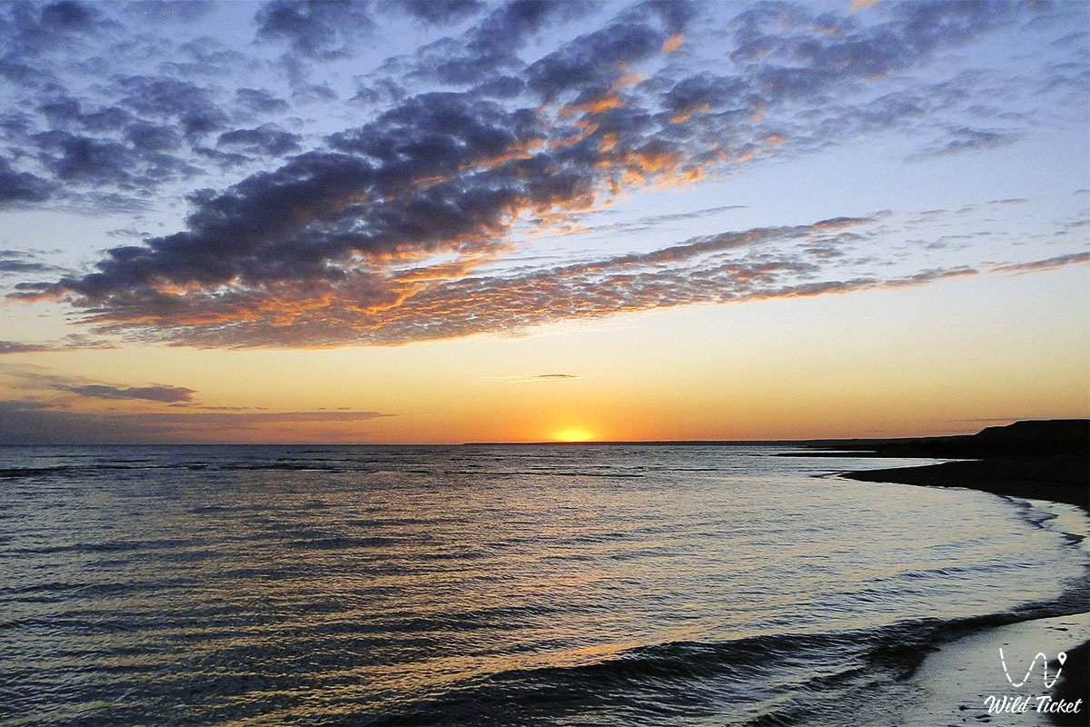
Kenderli Bay is a blessed coastal oasis of Mangystau, where gentle sunshine, golden sand of endless spits, and the turquoise waves of the Caspian Sea blend into a harmonious ensemble of untouched nature and comfortable leisure. A journey to Kenderli Bay offers every guest the healing freshness of sea air, the delight of warm swimming, vivid sunsets over the smooth surface of the lagoon, and unforgettable impressions from encountering the unique world of the Mangyshlak Peninsula.
Interesting sights nearby:
• Cape Tokmak;
• Aleksandrbay Gulf;
• Port Kuryk;
• Dead Kultuk Bay;
• Tyuleniy (Seal) Islands;
• Mangyshlak Bay;
• Kazakh Bay;
• Monk Rock (Adam-Tash);
• Blue Bay;
• Emdy Mountains;
• Cape Bagarzhik;
• Buzachi Peninsula;
• Silicon Valley;
• Balayuk Cave;
• Utebay Cave.
Pilgrimage sites across Mangystau:
• Beket-Ata Underground Mosque in the Oglandy Tract;
• Shopan-Ata Underground Mosque in the Karakiyan District;
• Karaman-Ata Underground Mosque and Necropolis;
• Mausoleum of Saint Man-Ata on the Manata Pass;
• Shakpak-Ata Rock-Cut Cruciform Mosque;
• Sultan-Epe Underground Mosque and Necropolis.
Photogallery: