Tourism and travel in Kazakhstan and Central Asia -
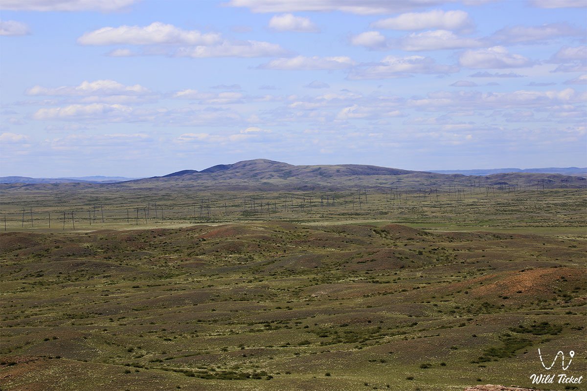
Saryarka or Kazakh up land is one of the largest physical-geographical and natural-historical regions of Kazakhstan. Saryarka is the national, Kazakh name and name, and this place is also called the Kazakh up land. Saryarka includes all the lands of the Karaganda and Akmola regions, as well as some lands of the former Turgai, Semey and Pavlodar regions. The territory of the Karaganda region is located mainly in the central part of Saryarka. Therefore, local residents have long called this region Saryarka, Arkinskaya steppe. The name Saryarka means "wide and large ridge, flat plateau, countless hills, yellowing from the burning of vegetation on the ground."
Saryarka is not only a source of Kazakhstani wealth, but also a storehouse of art, culture and history. Famous personalities of Saryarka are Bukhar Zhyrau, poets Shuzhe, Shashubai, Doskey, writer S. Seifullin and poet K. Amanzholov, composers Tattimbet, Madi, hero of the Great Patriotic War N. Abdirov, scientists A. Chizhevsky and E. Famous people, such as Buketov, the first Kazakh cosmonaut T. Aubakirov named Saryarka. The residents of the coal region also consider the first President of Kazakhstan Nursultan Nazarbayev their son. Indeed, from an early age, he began his career as a miner at the famous Kazakhstani Magnitogorsk in Temirtau. Hundreds of Soviet and foreign scientists and intellectuals who spent their young lives on the “narrow slippery road” on the “island of human death” in the history of our country were “the first discoverers” who opened the first art centers in Karaganda. These artists are left with art created in turbulent and tragic years. Today this legacy is of interest to the world community.
Geography
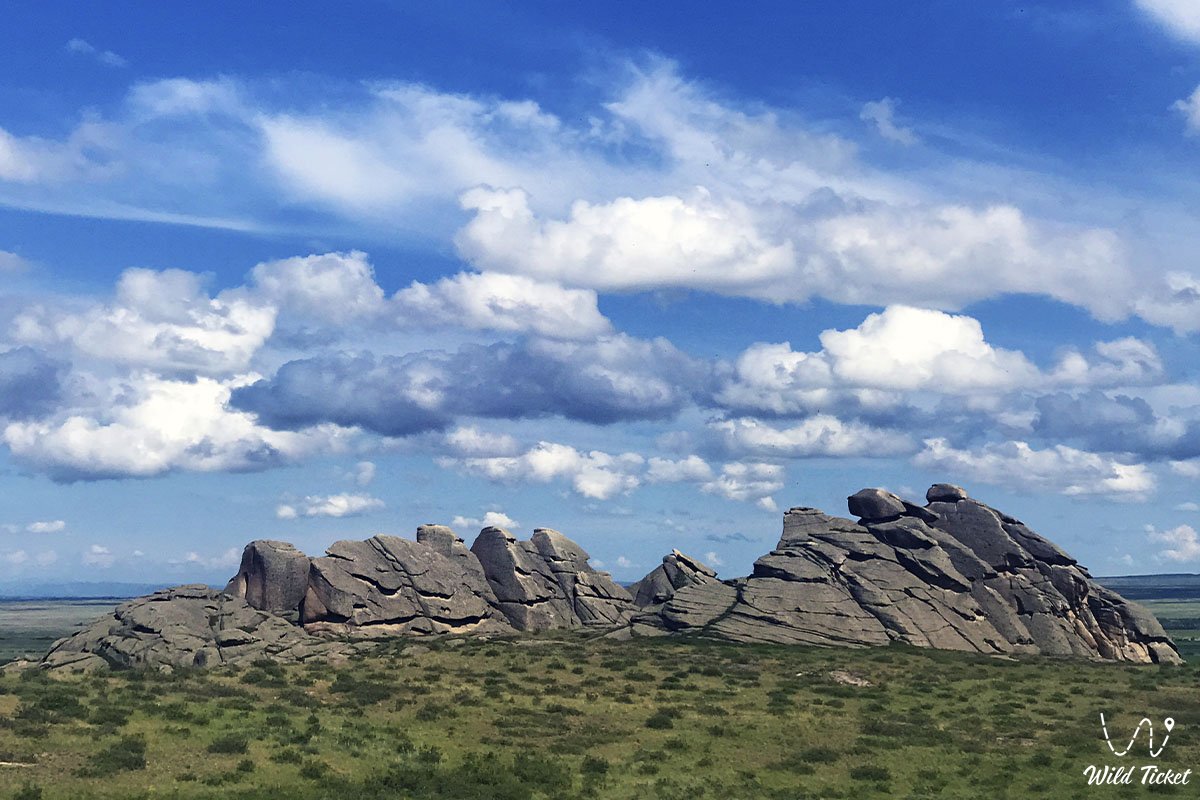
Saryarka is also called "Kazakh Hill" (Central Kazakhstan Upland). Its length from west to east is 1200 km, and from south to north - 950 km. The western side is relatively flat, the mountainous regions of Ulytau (1133 m) and the Kokshetau plateau (947 m, Mount Kokshe) are relatively high. The eastern side is characterized by hilly relief, rising to 1403 meters (Karkaraly mountains), 1469 meters (Genghis Khan ridge) and the highest point reaching 1566 meters (Aksoran mountain). Saryarka is a very old mountain in geological terms, an old mountain that has been eroded over the years. For comparison: Gorny Altai in the east of the country are young mountains.
Plants and animals
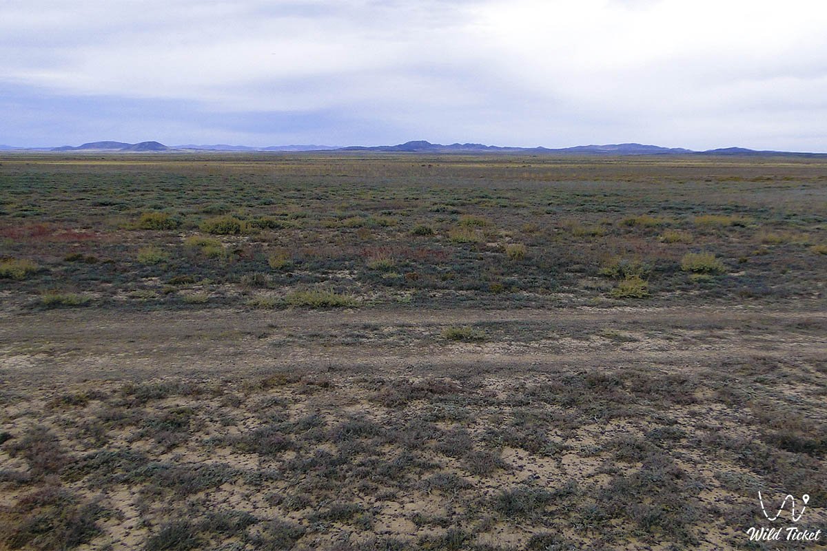
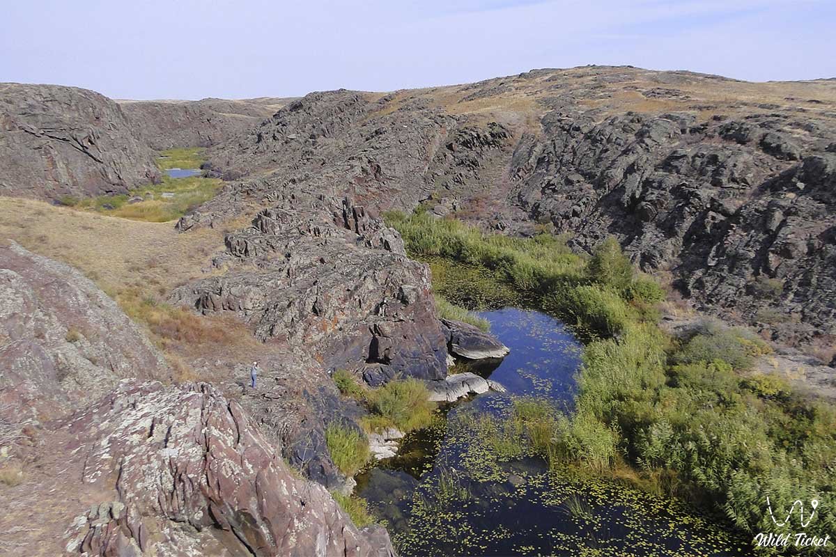
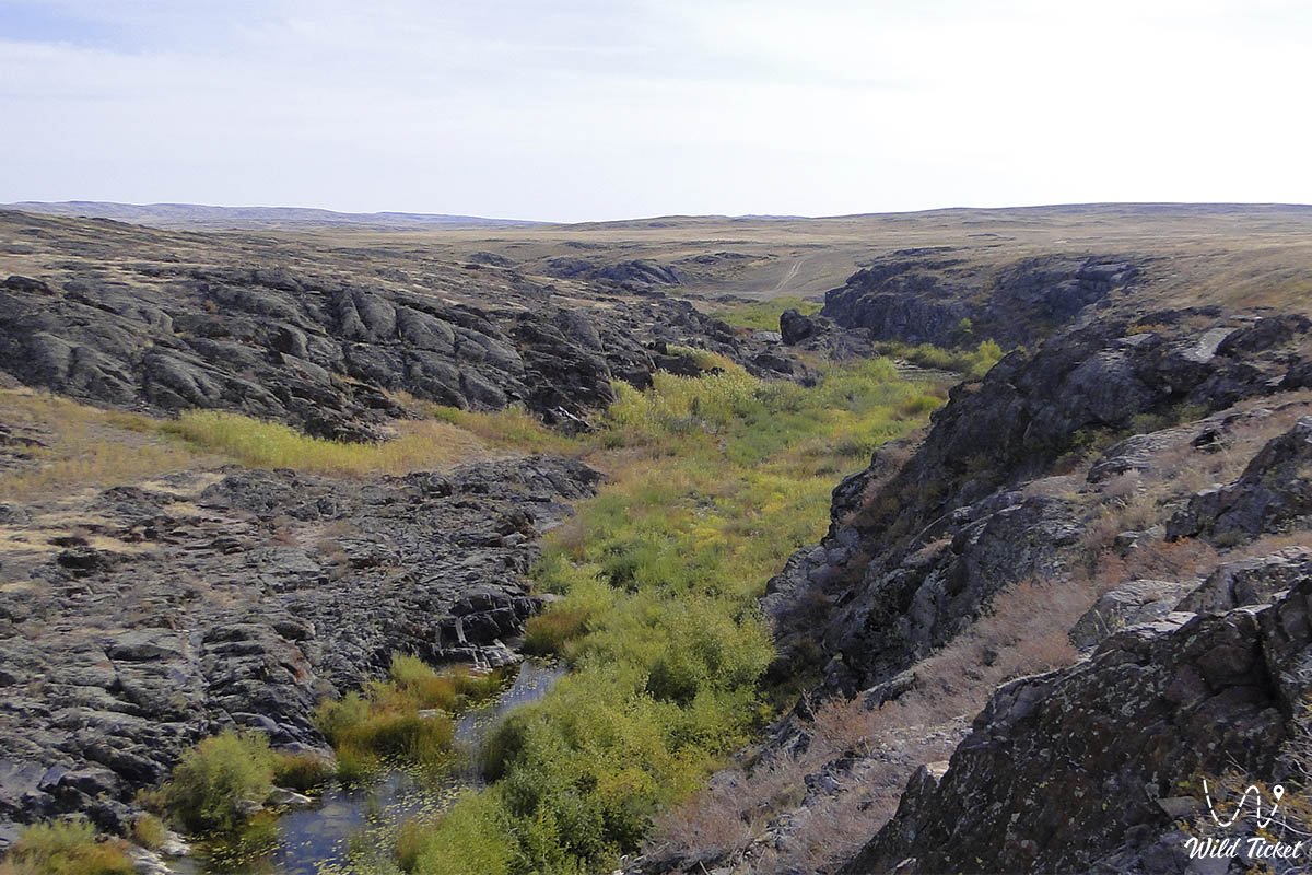
Saryarka is a zone of steppes, deserts and semi-deserts. In Kokshetau, Atbasar region, along the Ishim river, the vegetation cover is typical for chernozems. Crops are grown here. Pine and birch forests grow on low mountains and small hills of the steppe. South of the steppe zone, the desert zone includes the Tengiz and Sarysu, Ulytau, Karkaraly, Shyngystau plains. The climate of this zone is arid, with a dark reddish-brown soil cover, wormwood, fescue, aspen, gray vegetation. Meadows, poplar, birch, pine, juniper, willow grow on the slopes along the river. The desert area is suitable for grazing. The desert zone includes the southern part of Ulytau and Zhezkazgan region, the northern coast of Balkhash. Here, in the brown soil cover of the desert, desert plants grow - tobulgs, karagan, boz, alfalfa, axleu buirgyn, black wormwood, kokpek. The fauna is also formed by the features of the steppe, desert and semi-desert zones. Deer, roe deer are found in pine forests, and saigas, wolves and foxes are found in steppes and deserts. There are many birds in the lakes.
Economy
If we look at the history of the development of the Karaganda region, you will see fundamental things. One of the main reasons for the region's rapid development was its rich natural resources. In the pre-war period, the Karsakbay and Balkhash copper smelters were built in Central Kazakhstan on the basis of newly discovered deposits of coal and non-ferrous metals. The mines Zhezkazgan, Konyrat, Karaganda coal basin were developed. It was already known then that Central Kazakhstan occupies a special place in the country's economy.
Mineral resources
Saryarka is a region rich in minerals. Karaganda and Ekibastuz are the largest coal mining centers. Deposits Zhezkazgan, Karsakpay, Atasu, Sayak, Konyrat are rich in copper, iron and manganese ores. Rare metals are produced in Zhaireme. To digest and enrich them, there are large metallurgical plants in Karaganda, Zhezkazgan, Balkhash and Temirtau.
History of ancient times
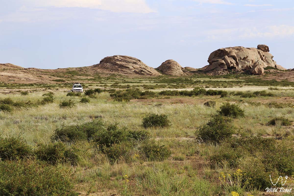
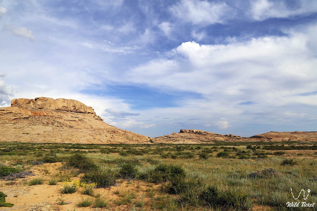
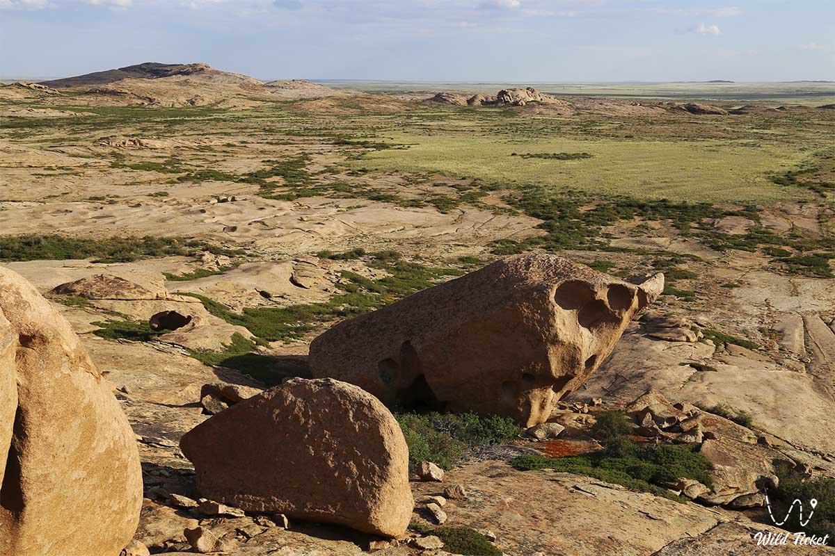
The great Saryarka, lying in the west of the Turgai depression and in the east of the Black Irtysh, was washed away by the blue waves of the Balkhash, and the vast Saryarka, covered with blue Ishim, has been a sacred place for Kazakhs from time immemorial. Historically, this steppe has witnessed many events and phenomena that influenced the great path of human development. The population of Central Asia, including Saryarka, is about 1.5-1 million people. many years ago. This border is shown by the oldest monuments: human settlements, stone weapons, rock paintings. The whole place is full of evidence from the Stone Age.
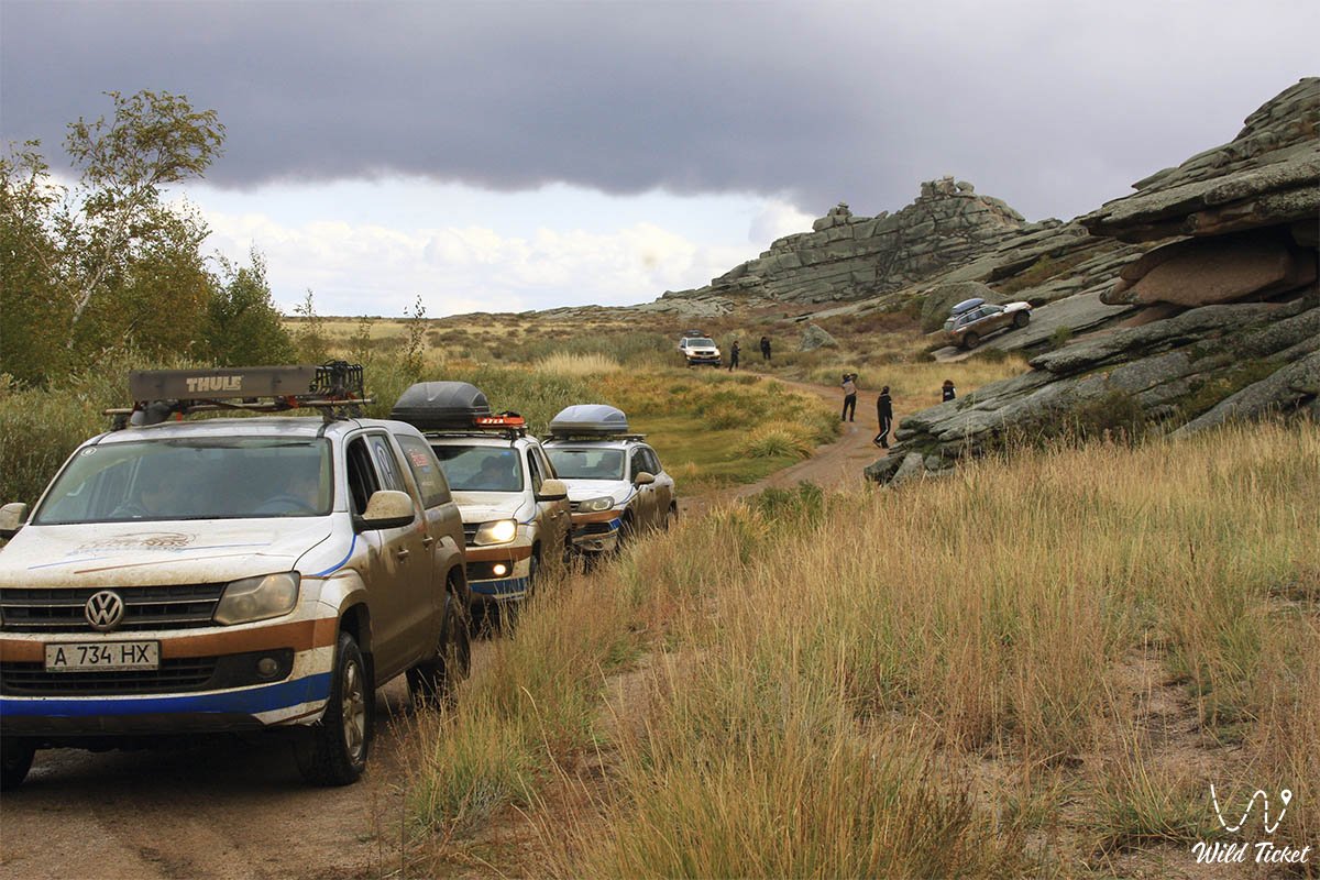
Photogallery:


Comments 2