Tours and excursions in the Turan Lowland and Central Asian countries -
The Turan Depression, also known as the Turan Plain, is a vast plain in Central Asia, specifically in Kazakhstan.
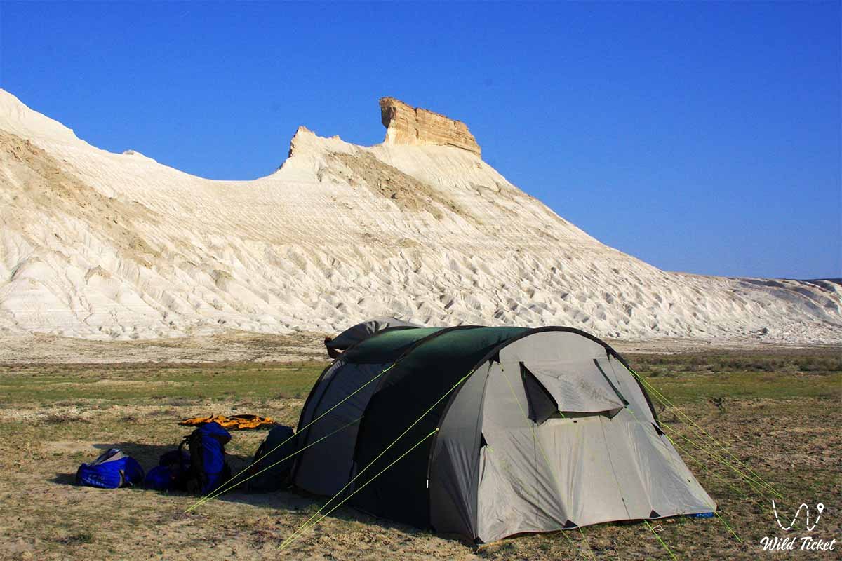
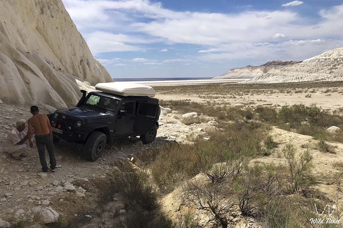
How to get there and stay -
The northern and central parts of Kazakhstan are occupied by desert, semi-desert, and steppe zones. They are washed by the Caspian Sea to the west, while the western part borders Saryarka to the east, the Turgai Plateau to the north, the Tien Shan massif to the southeast, and the Kyzylkum Desert to the south. All of Kazakhstan's deserts are located in this area.
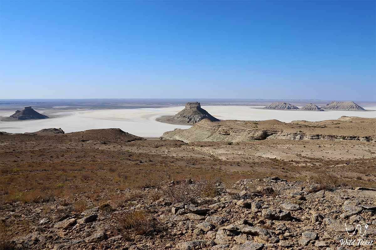
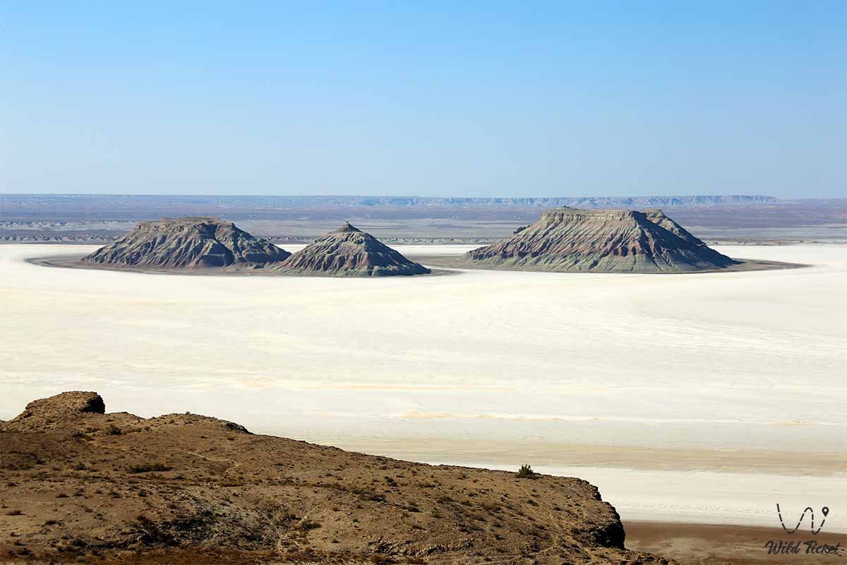
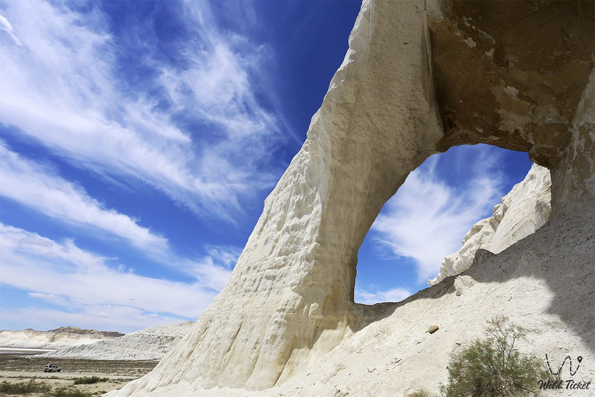
Most of the depression corresponds to the Turan Plate. Its maximum elevation does not exceed 300 m and is considered a young, flat platform. The Paleozoic basement (pedestal) lies at a depth of 1-6 km, with isolated sections of the Mesozoic-Cenozoic layers (Mangistau, Ustyurt, and Kyzylkum) exposed.
Structurally, this layer is similar to the neighboring Ural, Tien Shan, and Saryarka. The deepest depression in continental Kazakhstan, the Karagiya Basin (-132 m), is located here. Sedimentary rocks cover the surface of the plains (Caspian Basin, Aral Karakum, Moinkum, and others).
Climate
The climate of the northern Turan Basin in Kazakhstan is sharply continental. Winters are cold and frosty, with a stable snow cover of 15-25 cm. Strong winds are frequent. Winters here are quite warm, with dense snow cover. Snow cover is 10-15 cm, with no permanent snow cover in the extreme south. January temperatures range from -5 to 11°C, and summer months are very hot and dry. The average annual temperature in July is 26-29°C. In summer, the sand surface warms up to 80°C. Average annual precipitation ranges from 70 to 180 mm.
Since most of the Turan Depression is located in the desert and semi-desert belt, most of the soil consists of gray, saline, pale gray, and sandy gray soils. Only in the extreme north is the soil brown or pale brown. Takyrs and oases are found in the deserts.
Flora
Vegetation is predominantly ephemeral wormwood.
Hydrology
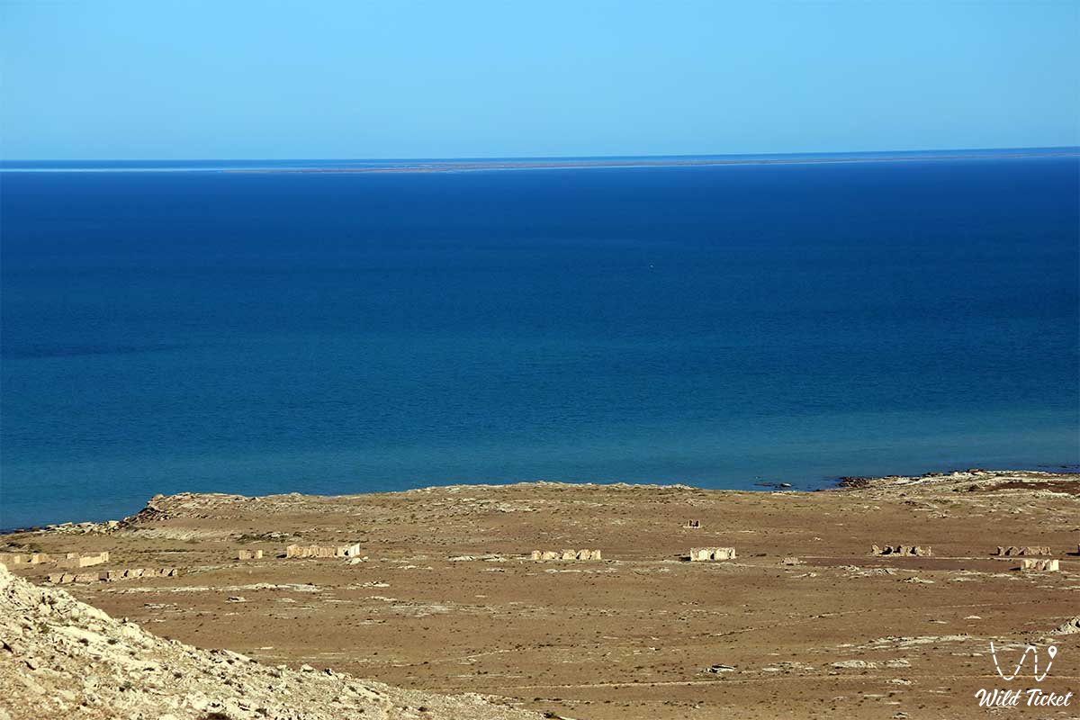
Shrubs and willows grow on the banks of large rivers and lakes. Over the past 20 years, the Aral Sea level has risen due to the aridity of the Turan Basin. Large groundwater reserves have been discovered across the vast basin.
• Betpak-dala artesian basin;
• Kyzylkum artesian basin;
• Turgay artesian basin;
• Ustyurt artesian basin, etc.
Economy
Irrigated agriculture with livestock grazing is developed in the lowlands. This is Kazakhstan's main region for growing rice, millet, cotton, and horticulture. Furthermore, the Turan Basin is an important oil and gas region of the country.
The basin is divided into 11 regions according to its physical geography. They are:
1. Northern Turgay;
2. Southern Turgay;
3. Mangystau;
4. Ustyurt;
5. Northern Aral Sea region;
6. Lower Syr Darya;
7. Middle Syr Darya;
8. Northern Kyzylkum;
9. Betpak-Dala;
10. Moinkum;
11. Near Balkhash - Alakol.
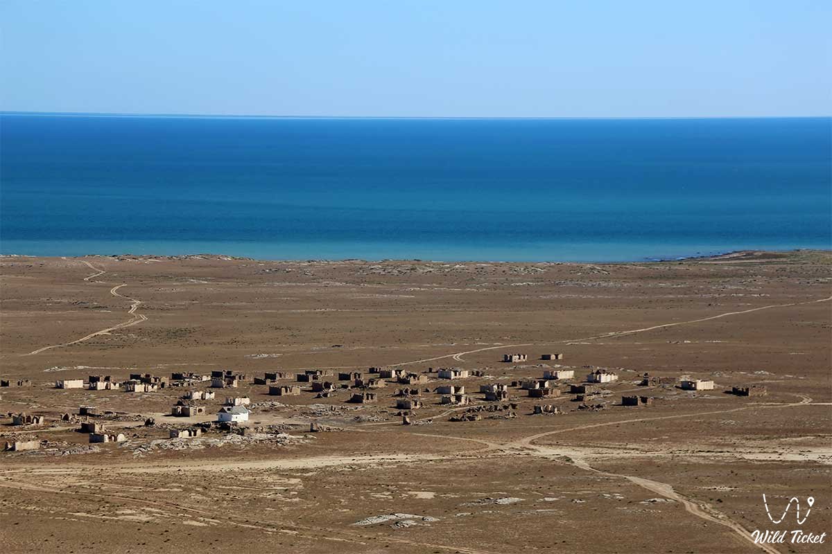
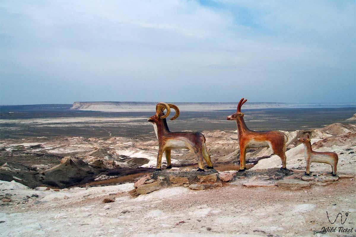
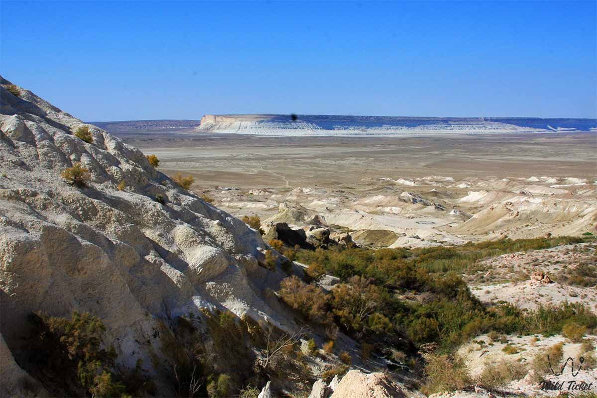
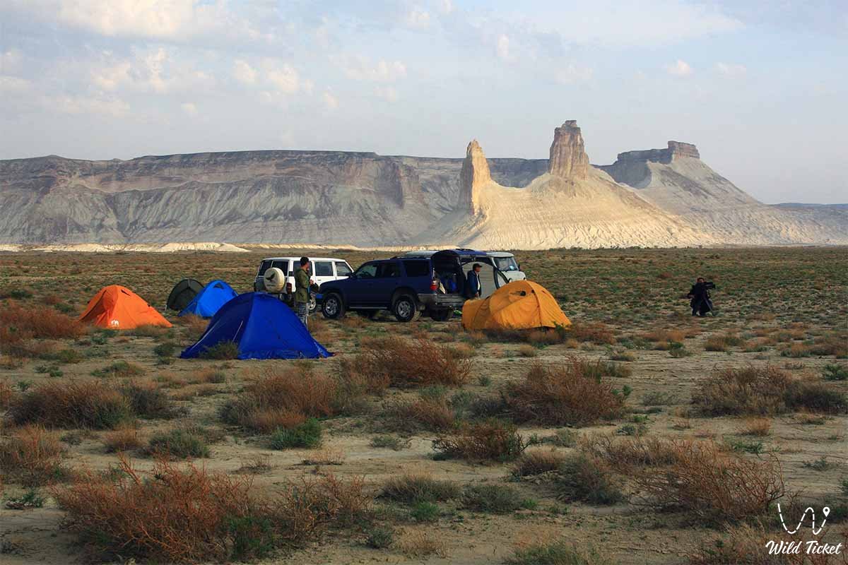
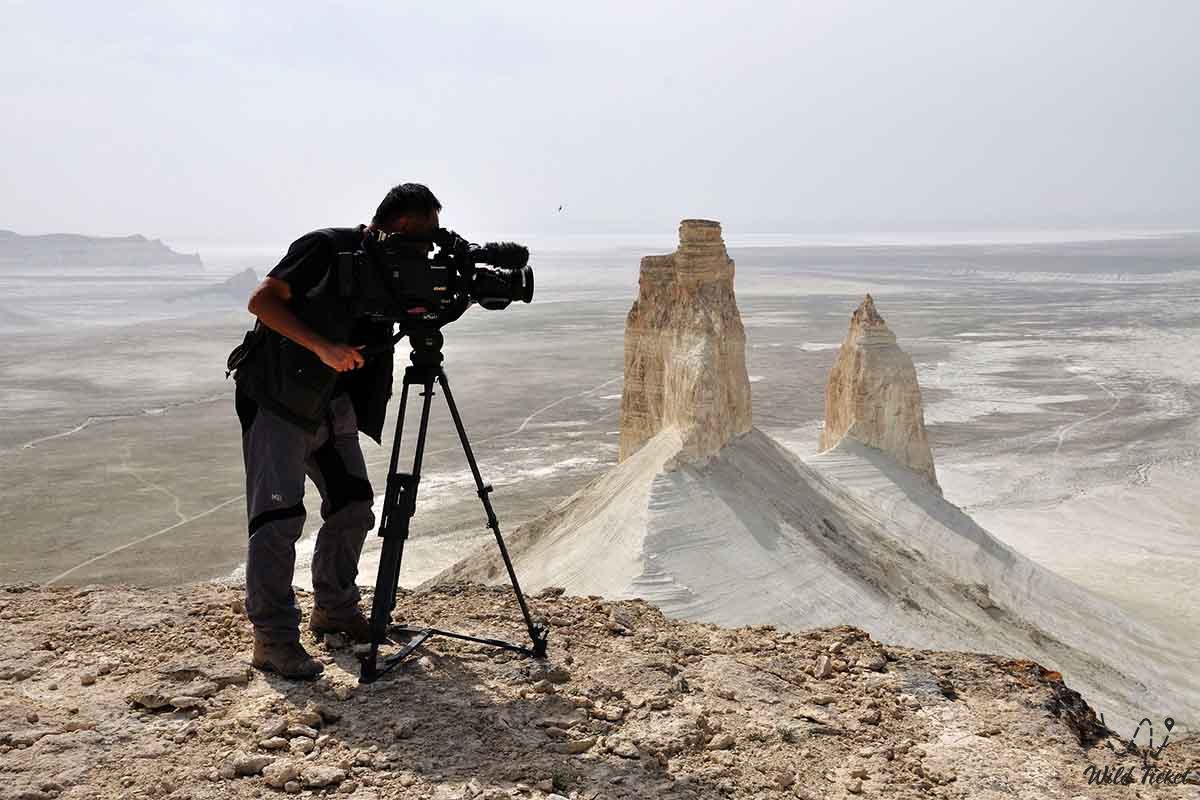
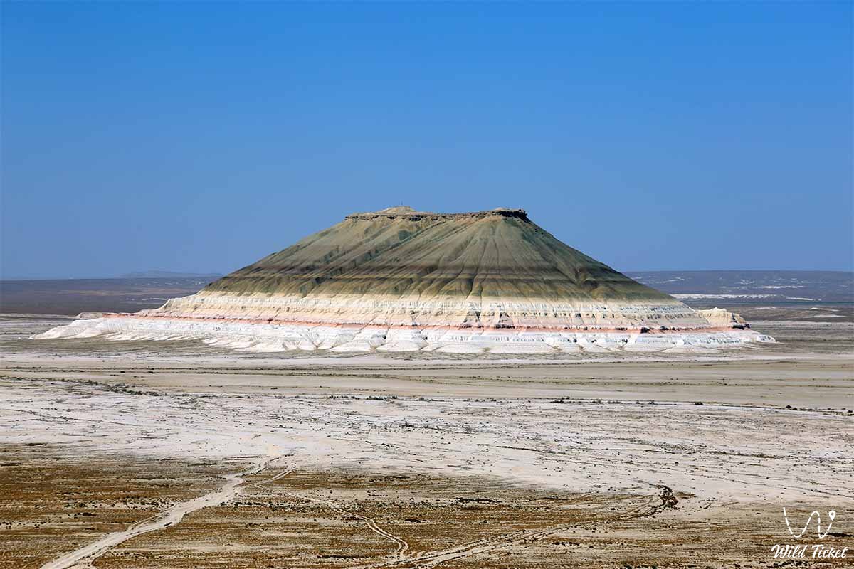
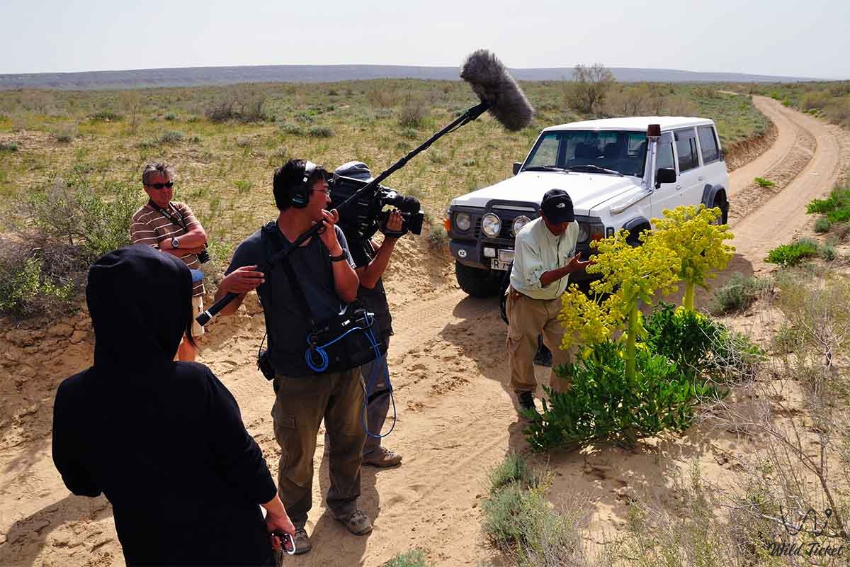
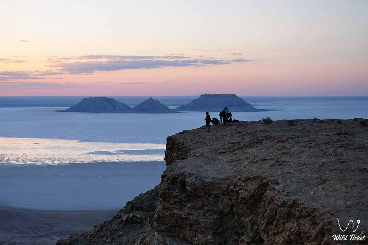
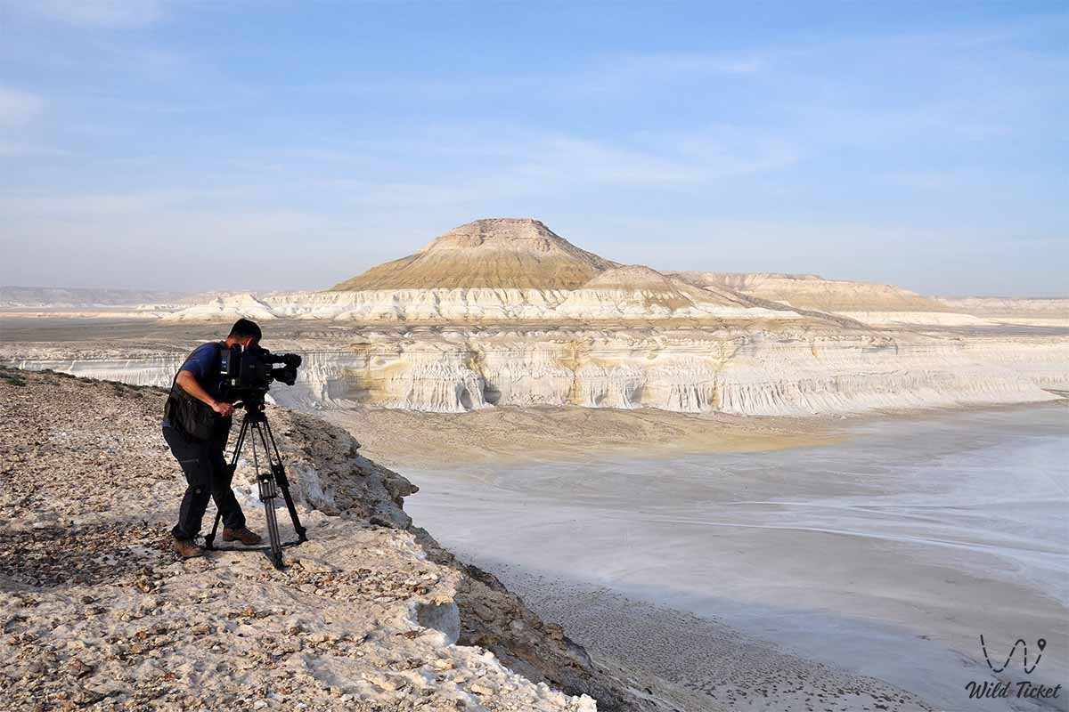
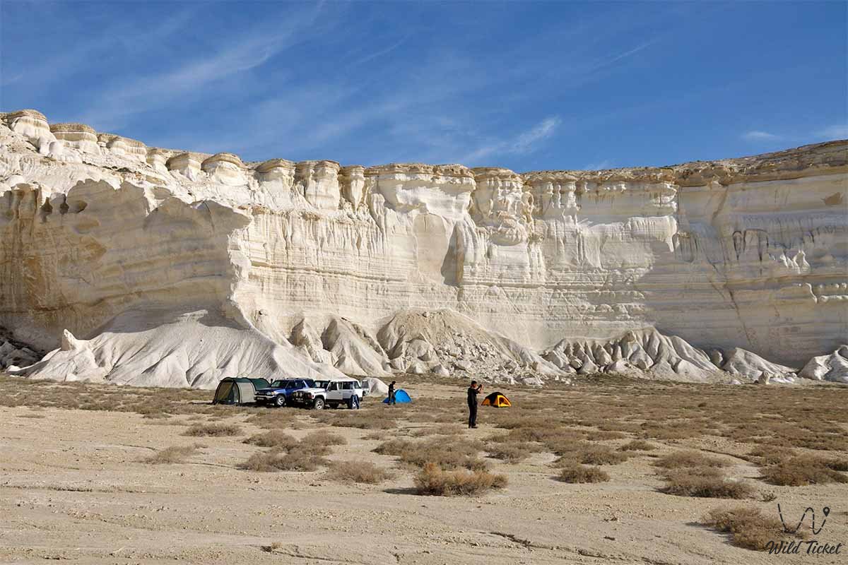
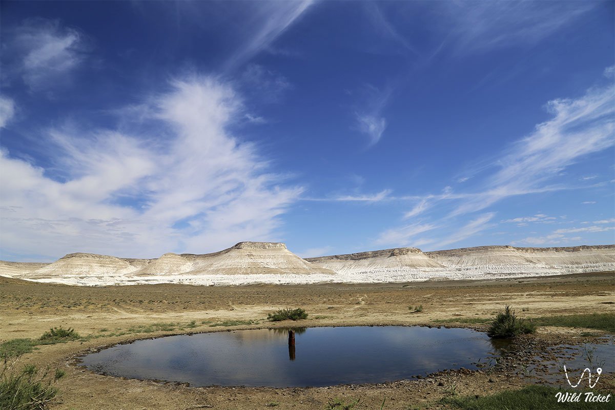
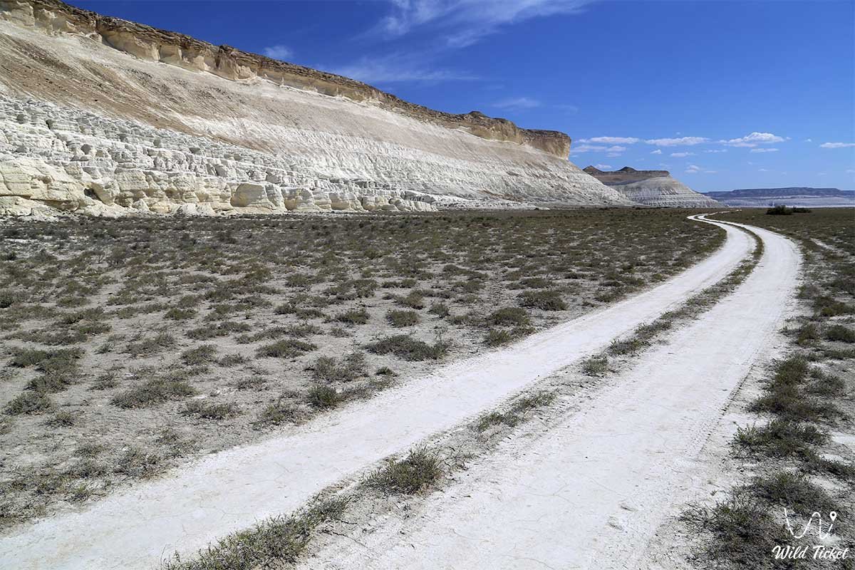
Photogallery: