Trip to the port of Bautino from the city of Aktau —
Jeep tour to Tyub-Karagan Bay on the Caspian Sea —
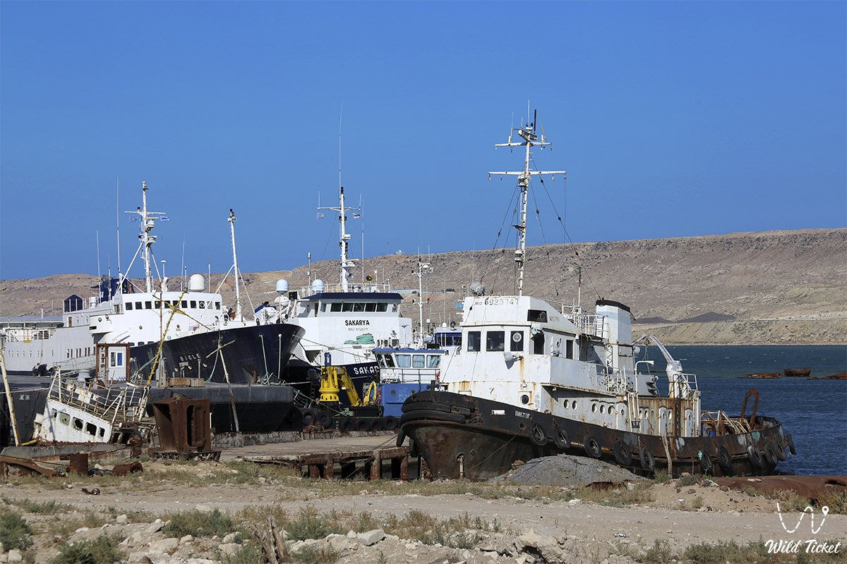
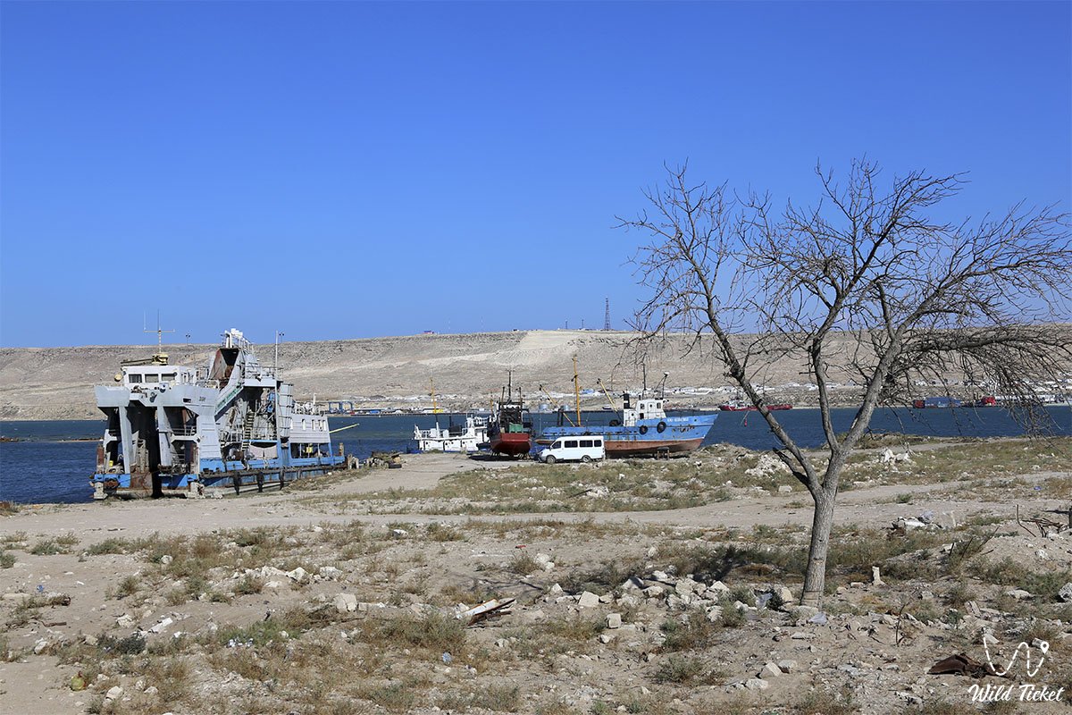
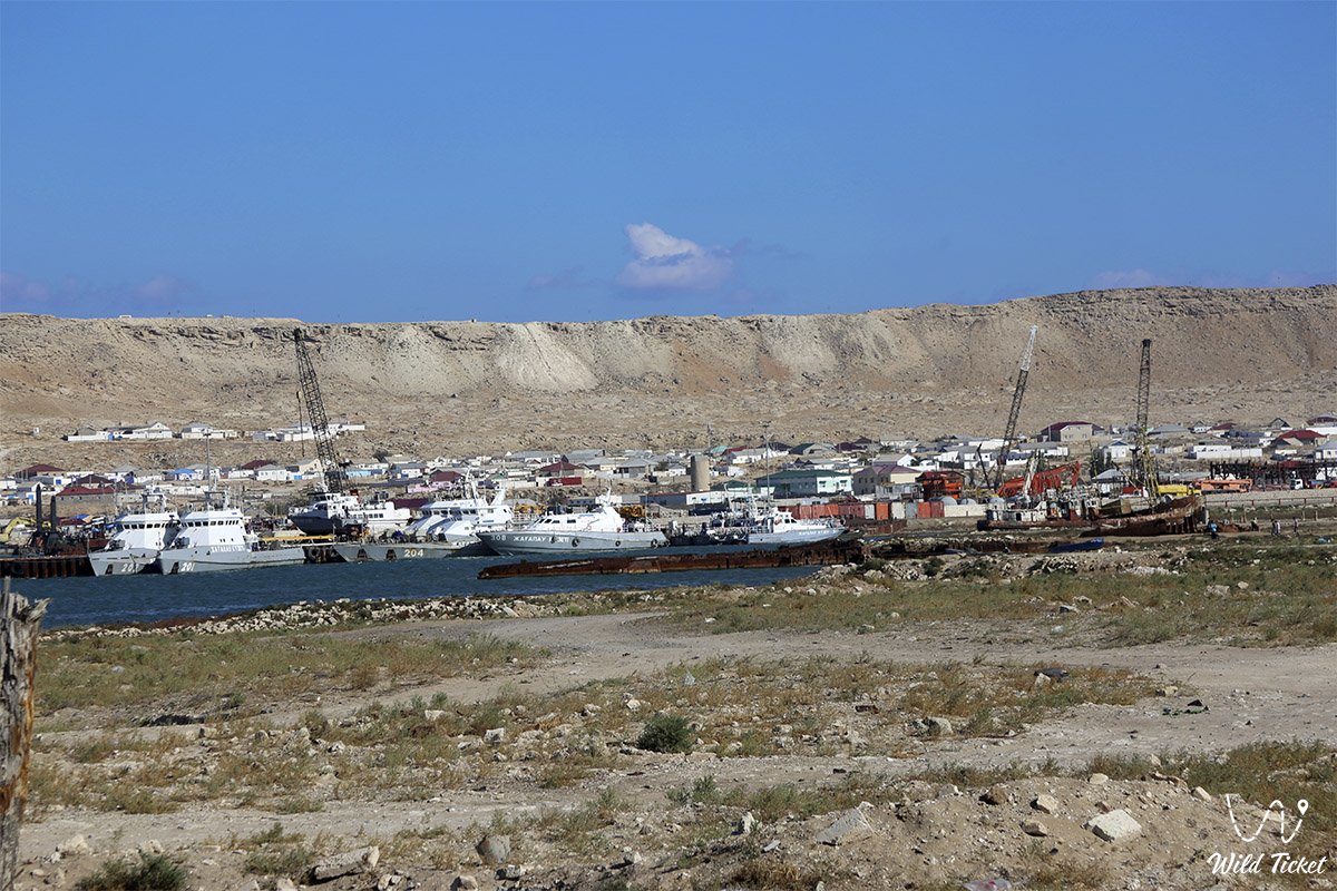
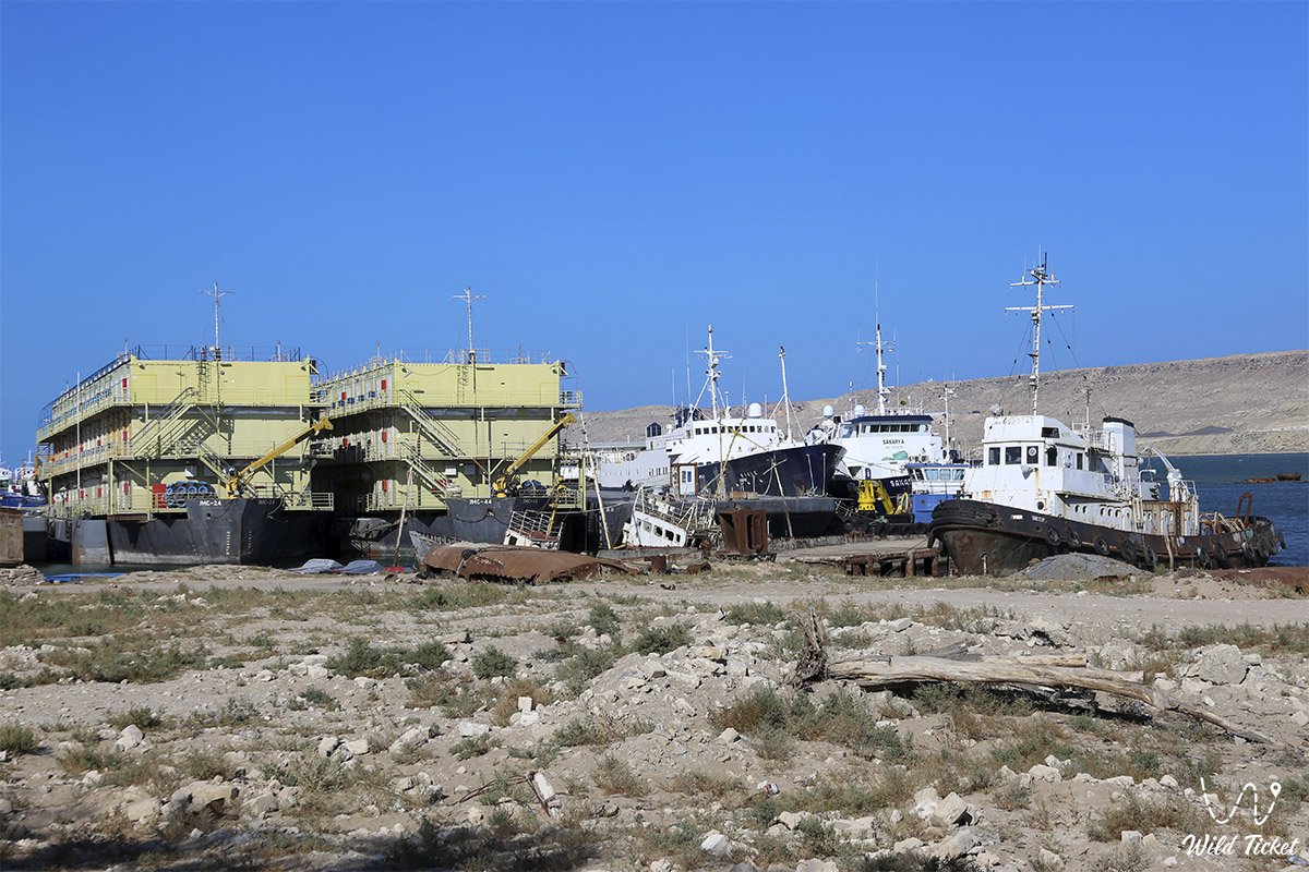
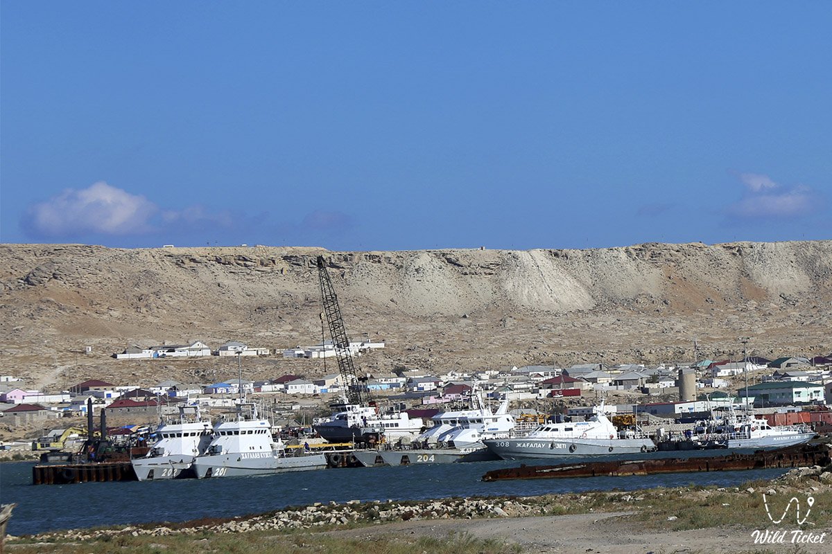
Tyub-Karagan, the so-called bay and peninsula, which is located on the shores of the Caspian Sea, the farthest point on the Mangyshlak peninsula. The length of the bay is 12 kilometers, the width is 5 kilometers, the seaport of Bautino and the village of Atash are located here.
Navigation is developed here, for a long time the Tubkaragna Bay has been a convenient harbor for navigation. On the shore of the bay you will see many small ships, in the past this place was called Alexander Fort and Novopetrovsky Bay.
---------------------------------------------
How to get there -
The Tyub-Karagan peninsula is located in the Mangistau region, Tyupkaragan district in Kazakhstan. Eastern coast of the Caspian Sea, Mangyshlak peninsula.
GPS coordinates: 44°35'28"N 50°15'32"E
---------------------------------------------
Tyub-Karagan cape, peninsula - information for tourists
In 1717, a Russian fortress was built here, so the history of the region goes far into the past. It is best to travel to Cape Tyub-Karagan by 4x4 jeeps, there are no paved roads on the entire Mangyshlak peninsula, so there are only country roads, which are quite dusty. On the Tyub-Karagan peninsula, ancient settlements of people who belong to the Paleolithic era were found.
It is best to travel to the Tyub-Karagan peninsula in two cars for mutual assistance, you must have all the necessary equipment for traveling in places where there is no tourist infrastructure. On the peninsula there is the village of Atash and the seaport-bay of Bautino, life is in full swing here.
Photogallery: