Джип-тур вокруг Аральского моря -
Путешествие из Алматы на Арал -
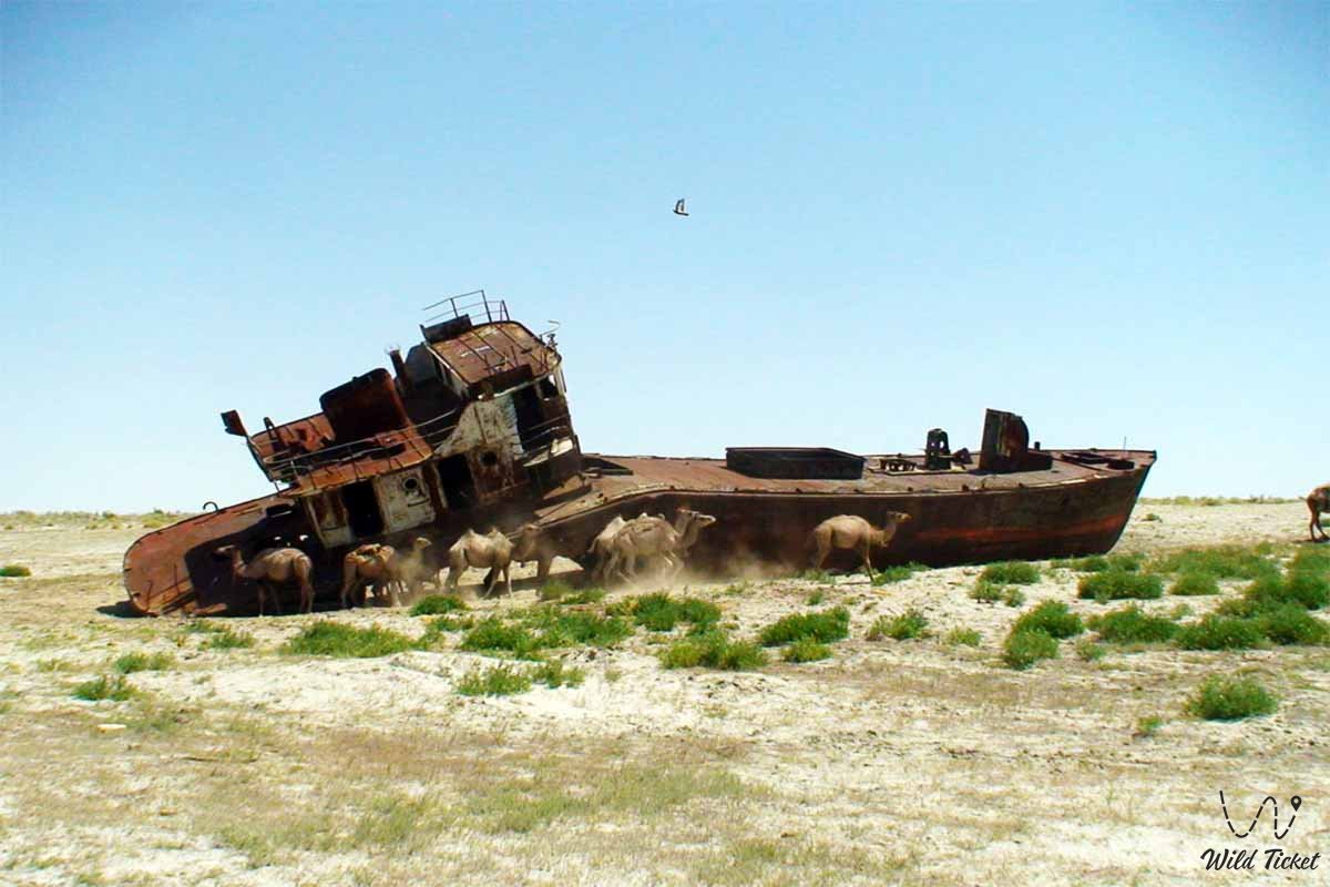
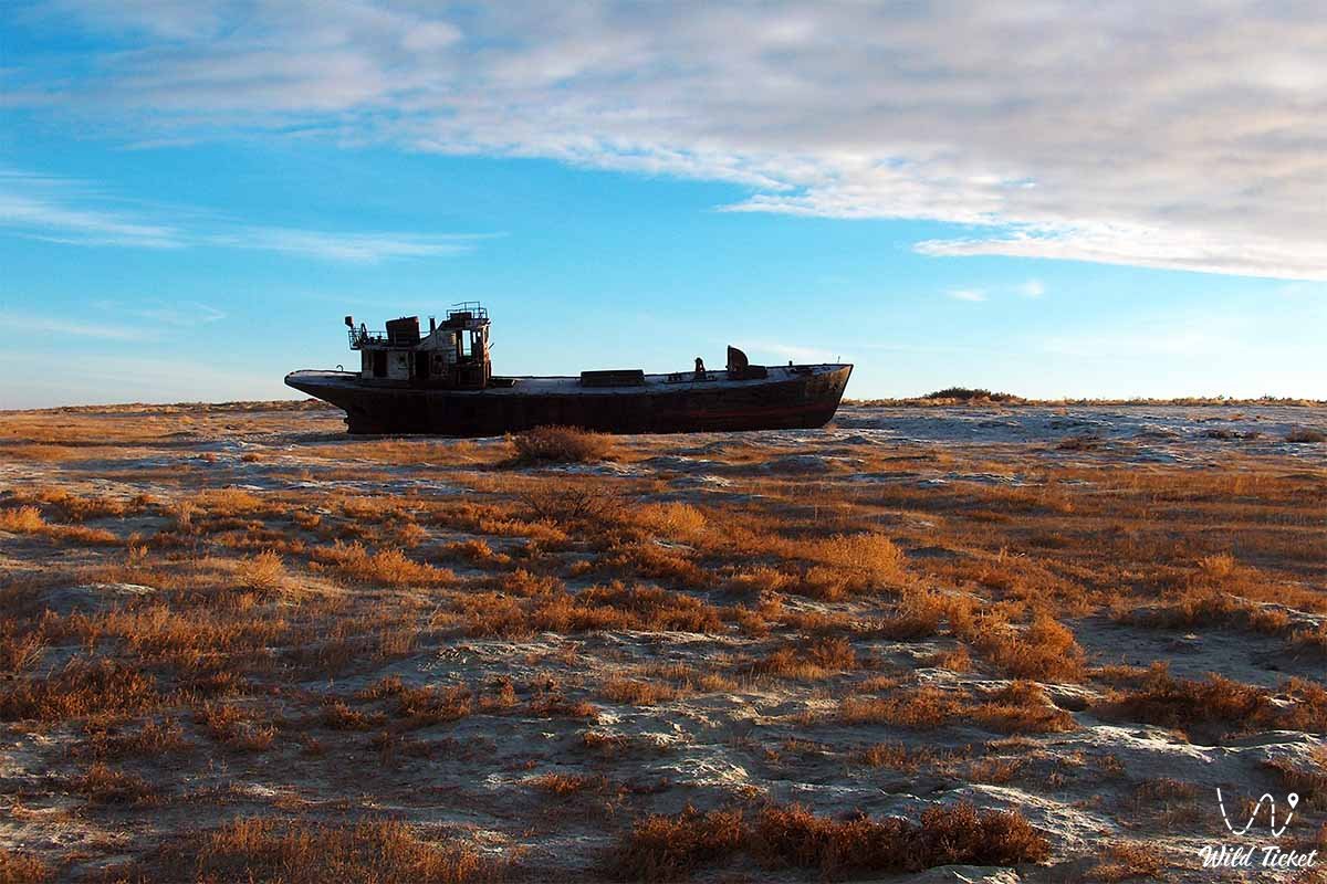
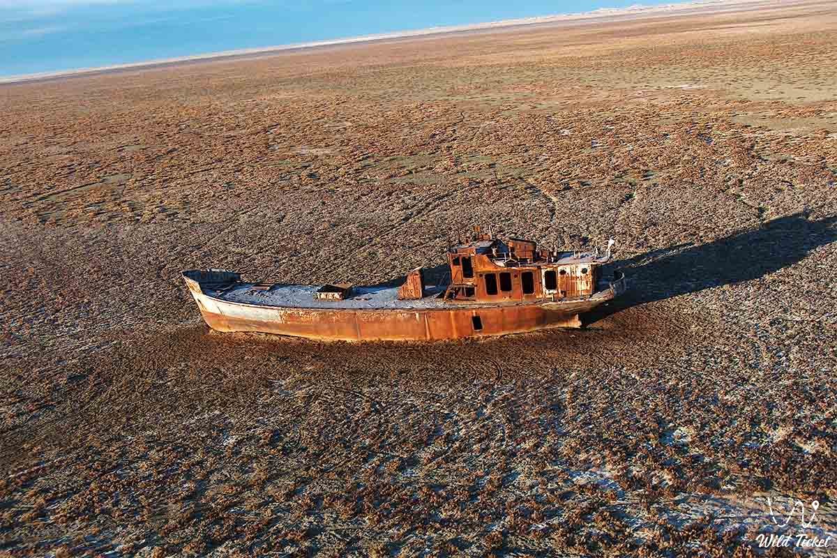
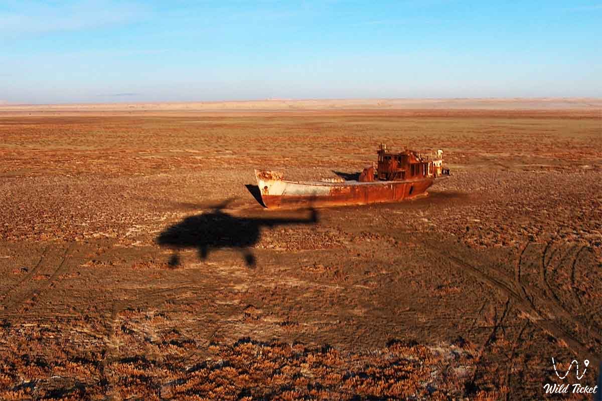
Аральское море (Ара́л; каз. Арал теңізі)-замкнутое соленое озеро в Средней Азии на границе Казахстана и Узбекистана. С 1960-х годов уровень моря стал стремительно падать. Причина: забор воды для орошения пойм рек Амударьи и Сырдарьи, питающих ее. В 1989 году произошло разделение моря на два отдельных водоема: Северное (малое) и Южное (Большое) Аральское моря. В 2014 году восточная часть Южного (Большого) Аральского моря полностью высохла. До обмеления Аральское море было четвертым по величине в мире.
---------------------------------------------
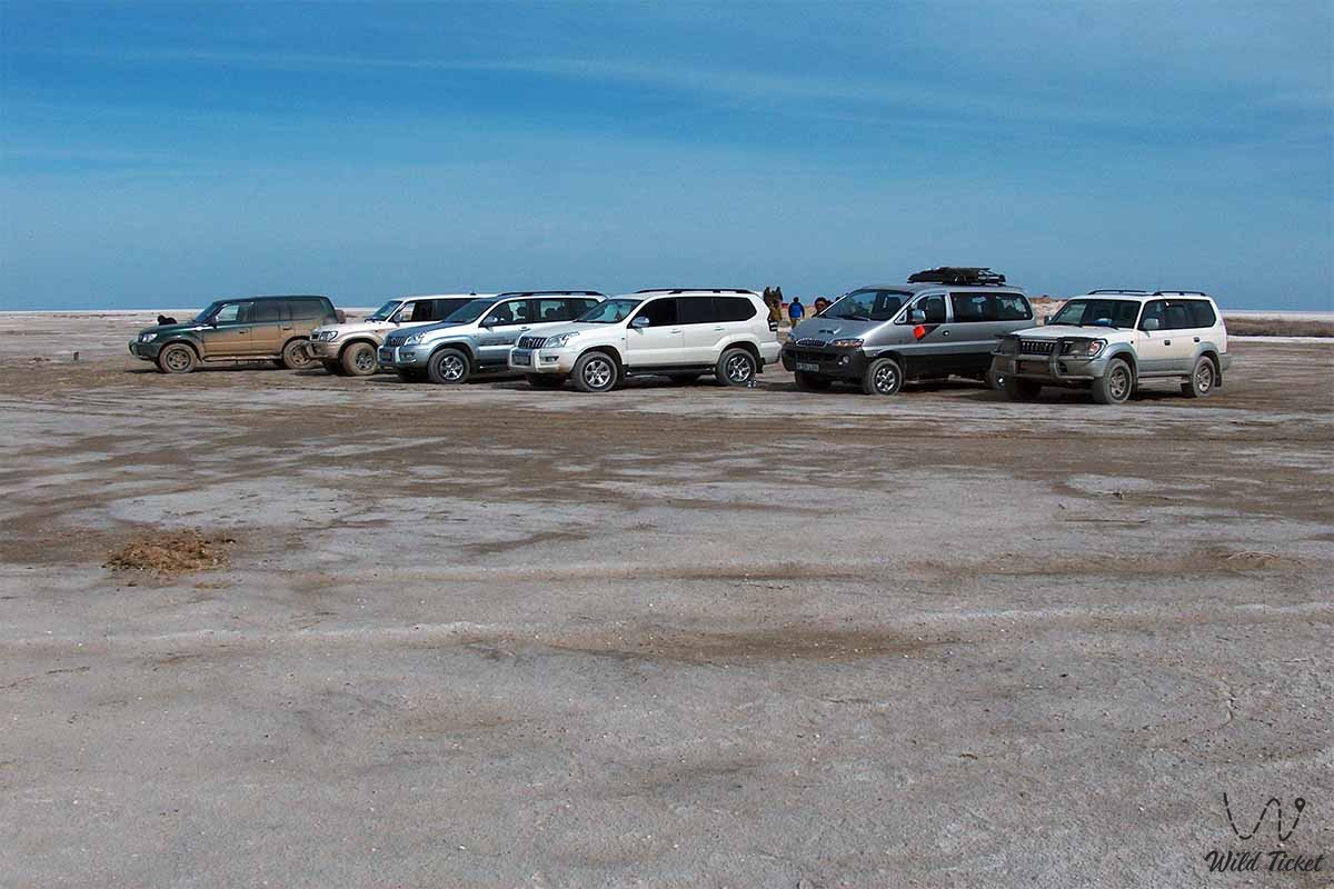
Как добраться -
Аральское море находится Кызылординско йобласти на границе Казахстана и Узбекистана. Ближайший город к морю город Аральск.
GPS координаты: 45°N 60°E
---------------------------------------------
История
Уровень Аральского моря и раньше менялся. В местах, где было вскрыто его дно, были обнаружены остатки некогда там выросших деревьев. В середине кайнозойской эры (21 млн лет назад) Арал был соединен с Каспием (море паратетисом). В конце XVI-начале XVII веков в результате падения уровня моря образовались острова Барсакельмес, Каскакулан, Козжетпес, Уяли, Высокая Гора, остров Возрождения.
В 1848 году в Оренбурге была построена шхуна «Константин». К лету того же года шхуну доставили в укрепление у устья Сырдарьи (Раимское). В 1849 году под руководством А. Н. Бутакова была организована первая научная экспедиция по изучению Арала. Была проведена предварительная рекогносцировка Арала. Измерили глубину, полностью исследовали остров Барсакельмес, открыли новую группу островов (остров Возрождение). Производились астрономические и метеорологические наблюдения. В зимнее время изучается история залегания льда, собираются образцы полезных ископаемых. В 1850 году гидрографическим департаментом Морского министерства была составлена морская карта Арала.
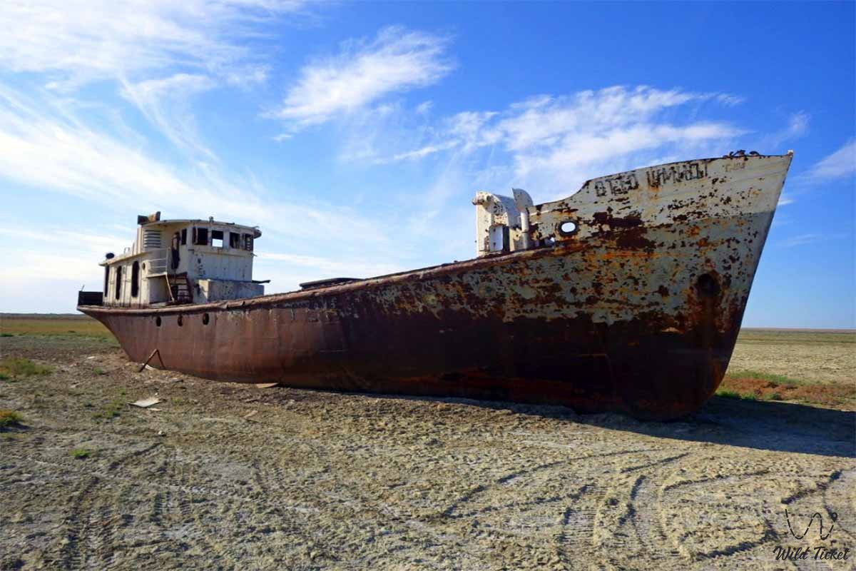
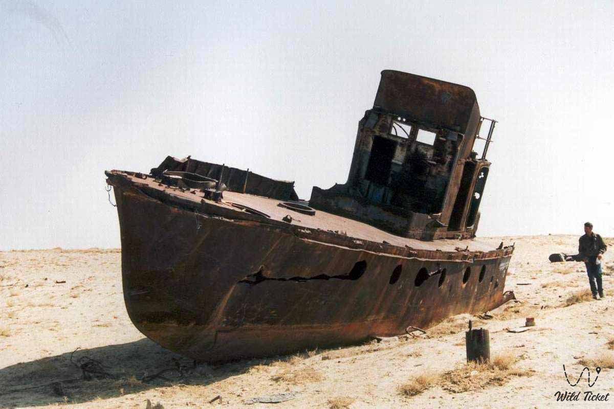
Обмеление Аральского моря
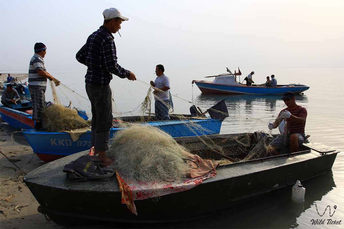
В 1989 году произошло разделение Арала на два водоема: Северное (малое) и Южное (Большое) Аральское моря. К 2003 году площадь поверхности Арала сократилась на¼, а объем - на 10%. За период с 1950 по 2000 годы абсолютная глубина уменьшилась на 22 метра, достигнув 31 метра. Рыбный промысел сохранился только на Малом Арале, а на Большом Арале из-за высокого содержания соли в воде рыба практически исчезли. В 2001 году остров Возрождения стал полуостровом. По состоянию на 2003 год озеро Южный Арал разделено на западную и восточную части.
Мавзолей Кердери на Арале
Мавзолей Кердери датируется примерно XI—XIV веками. Залегал на глубине 20 м. Обнаружены остатки стоянки XIV века Арал-Асар.
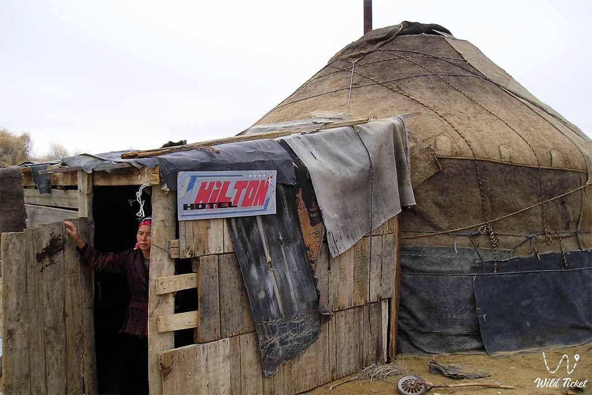
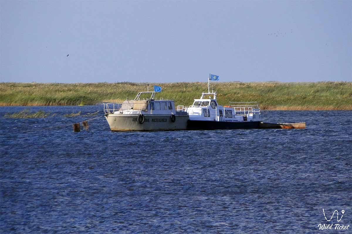
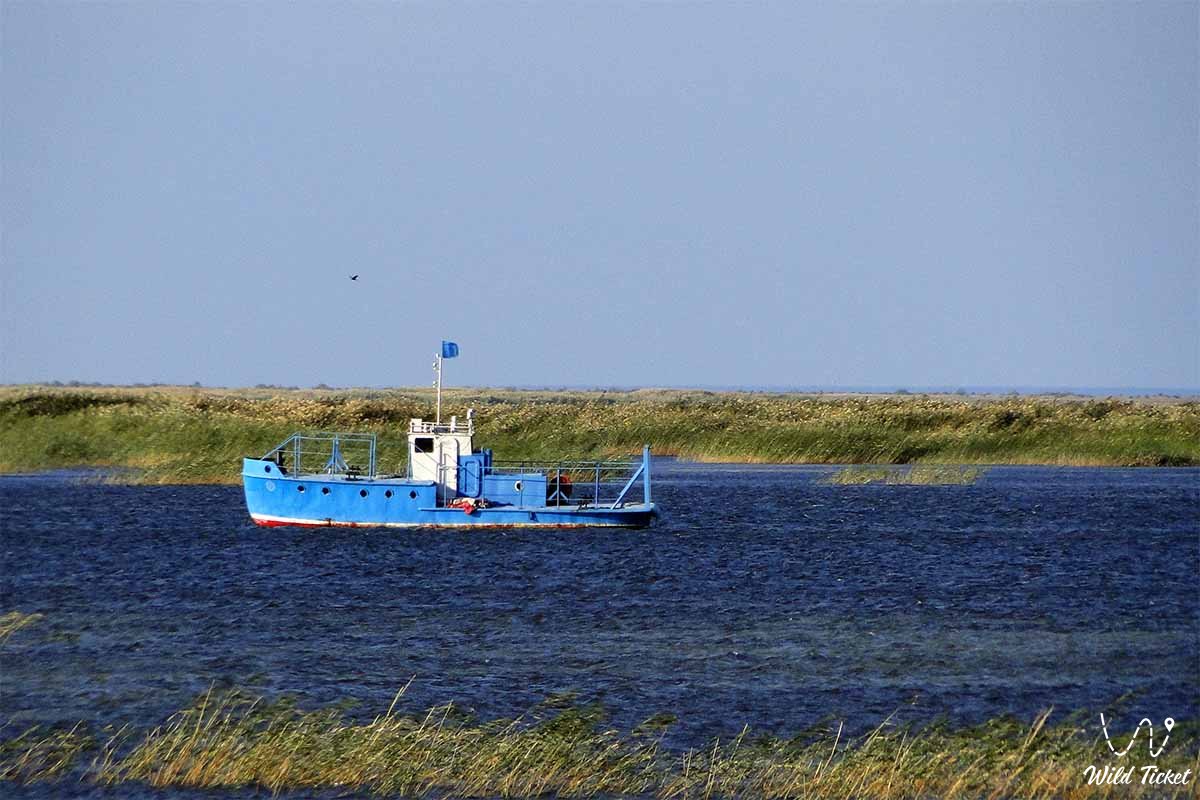
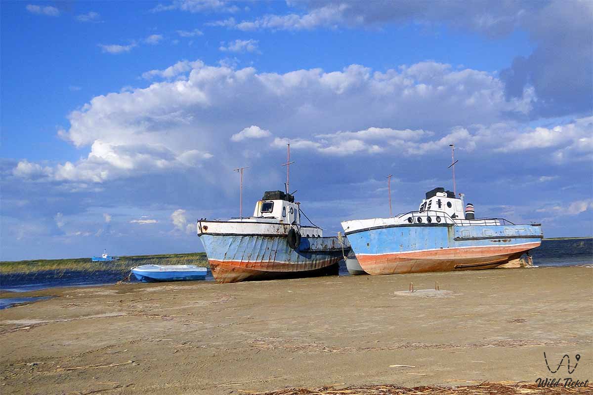
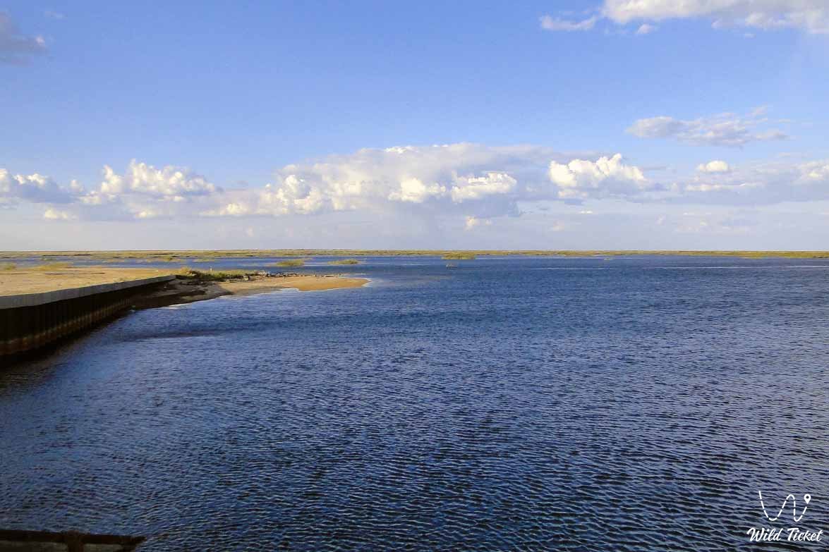
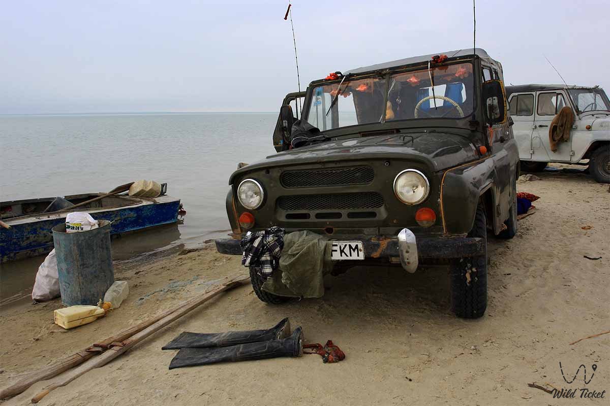
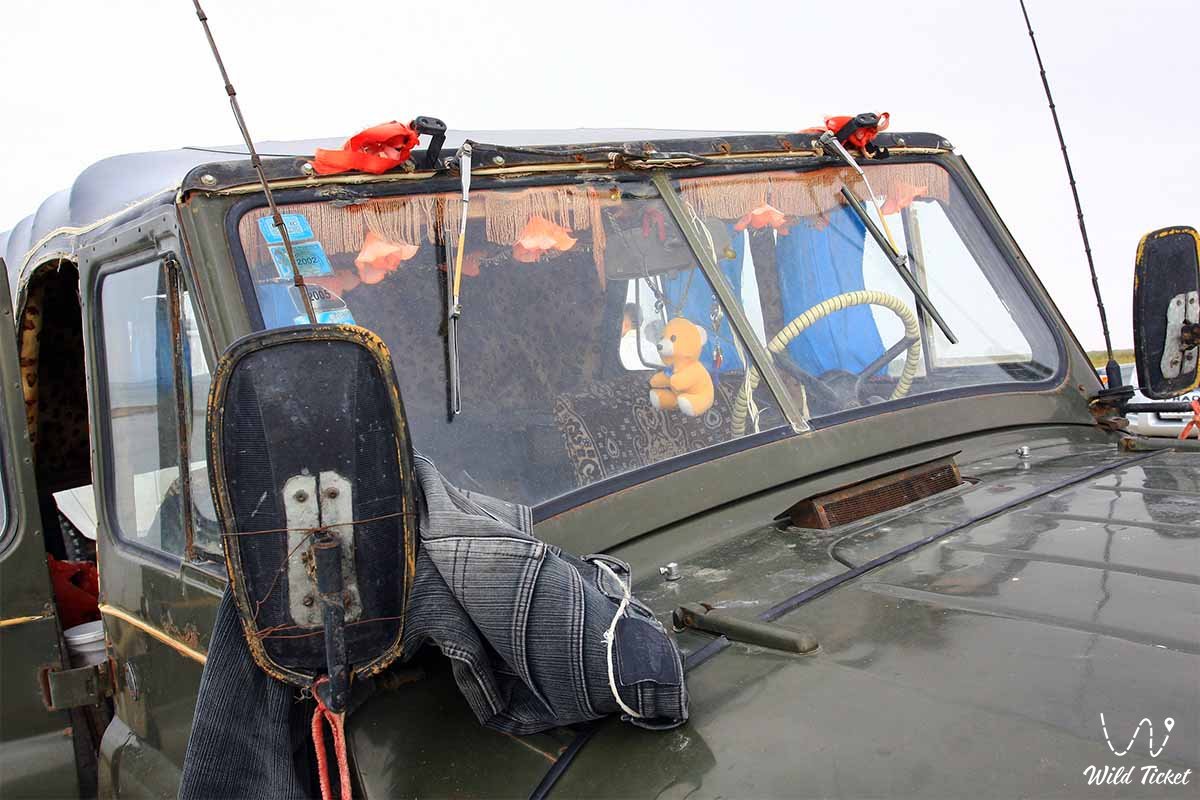
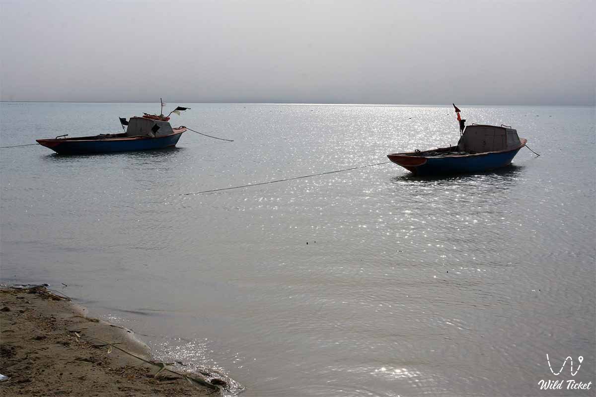
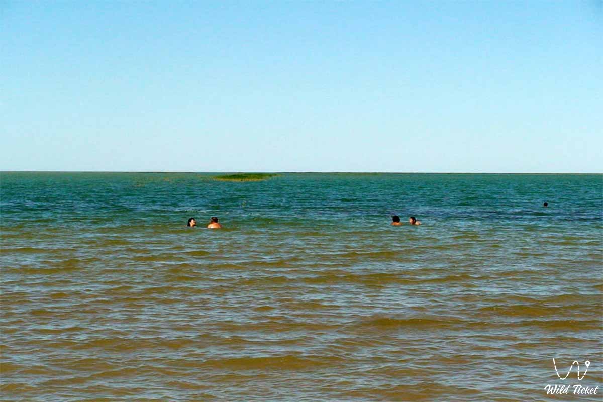
Фотогалерея: