Сити тур по городу Зайсан -
достопримечательности -
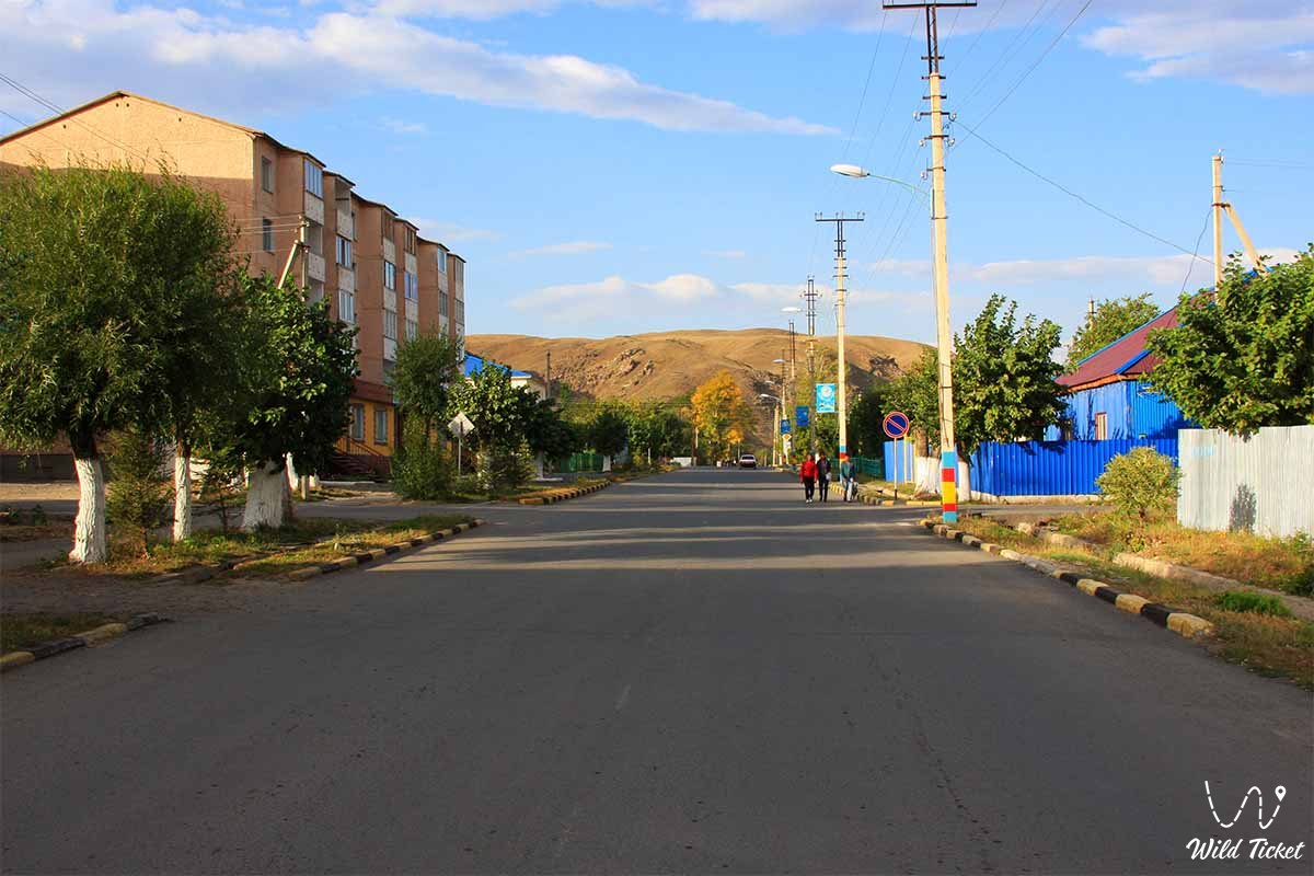
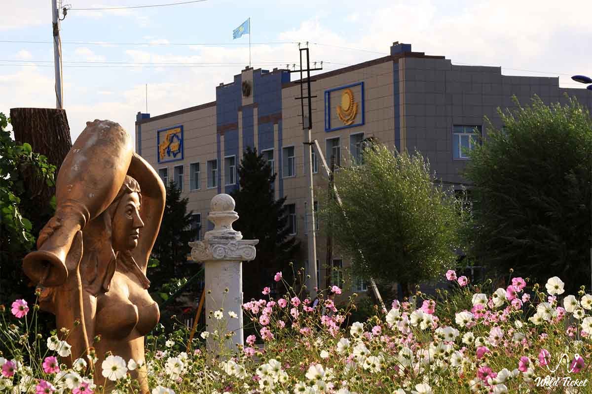
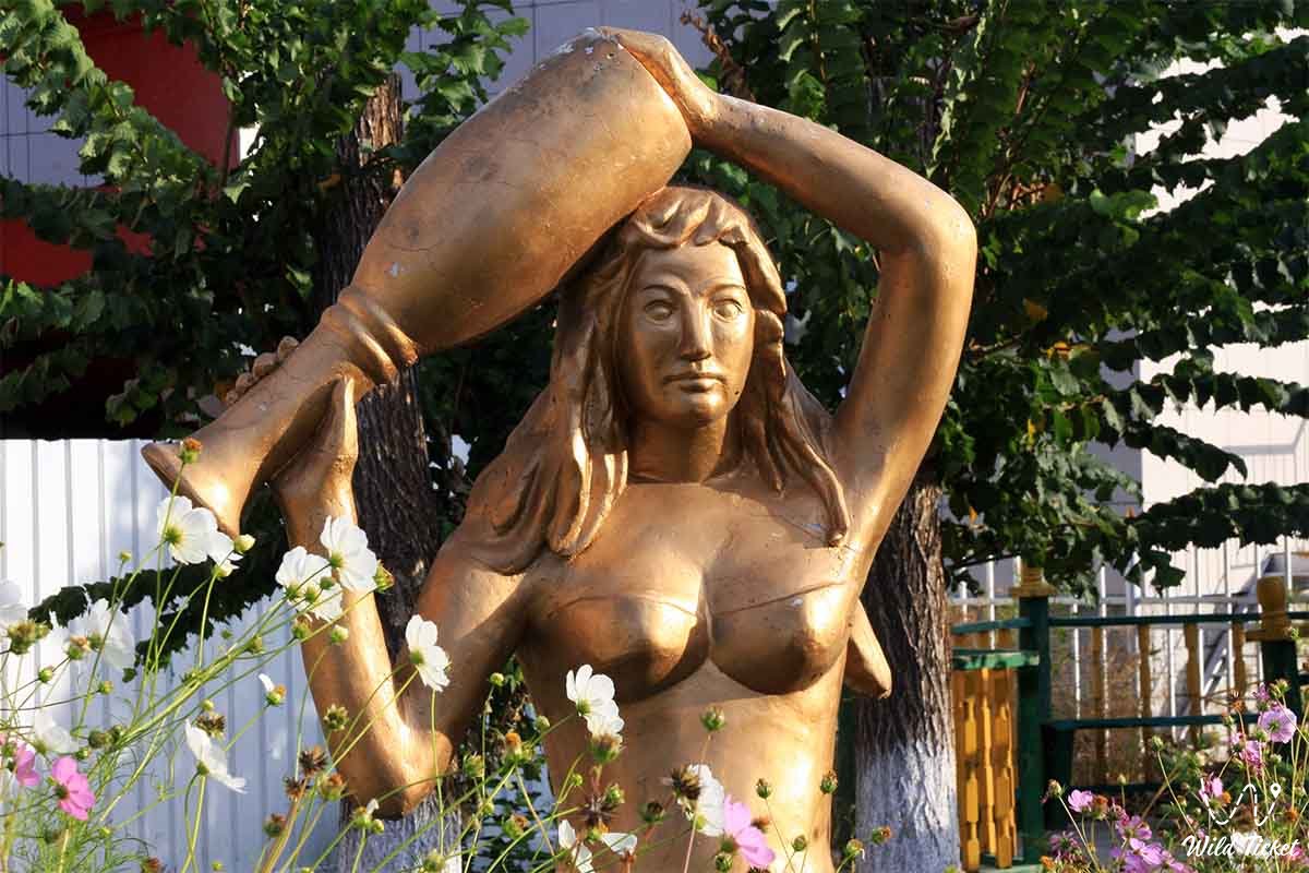
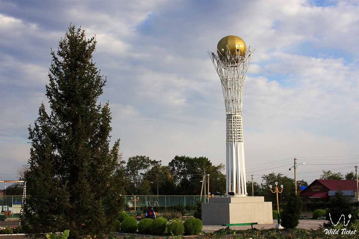
Зайсан - город Восточного Казахстана, живописный и небольшой, расположен у северного подножия Саурских гор, западной оконечности Тарбагатайских гор, на Алтае, в 35 км к юго-востоку от озера Зайсан. Город был основан в 1868 году при разграничении границы между Россией и Китаем. Город находится на высоте 635 метров над уровнем моря, местность вокруг Зайсана на северо-западе равнинная, но на юго-востоке холмистая, самая высокая точка в окрестностях находится на высоте 2352 метра над уровнем моря.
---------------------------------------------
Как добраться, посетить -
Город Зайсан находится в Восточно-Казахстанской области, Центр Зайсанского района. Расположен в 470 км к юго-востоку от города Усть-Каменогорска, в Северо-Западном предгорье Сауырского хребта, в лесостепном поясе на правом берегу реки Уйден, впадающей в озеро Зайсан.
GPS координаты: 47°28′00″N 84°52′00″E
---------------------------------------------
Информация
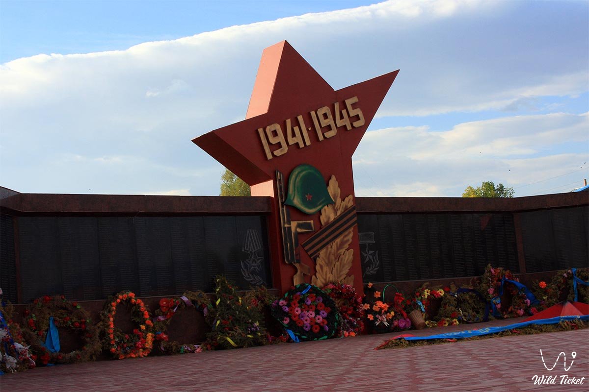
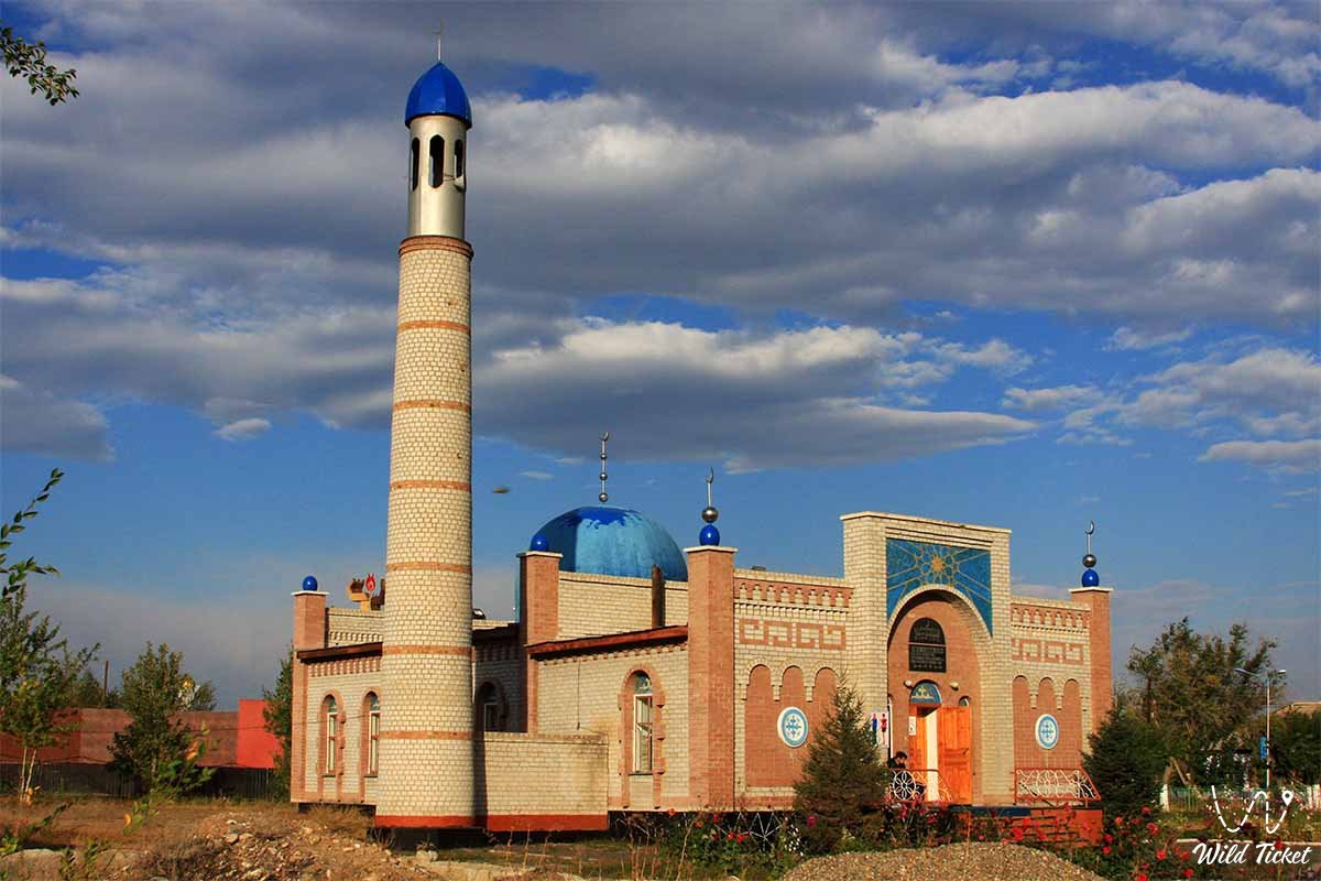
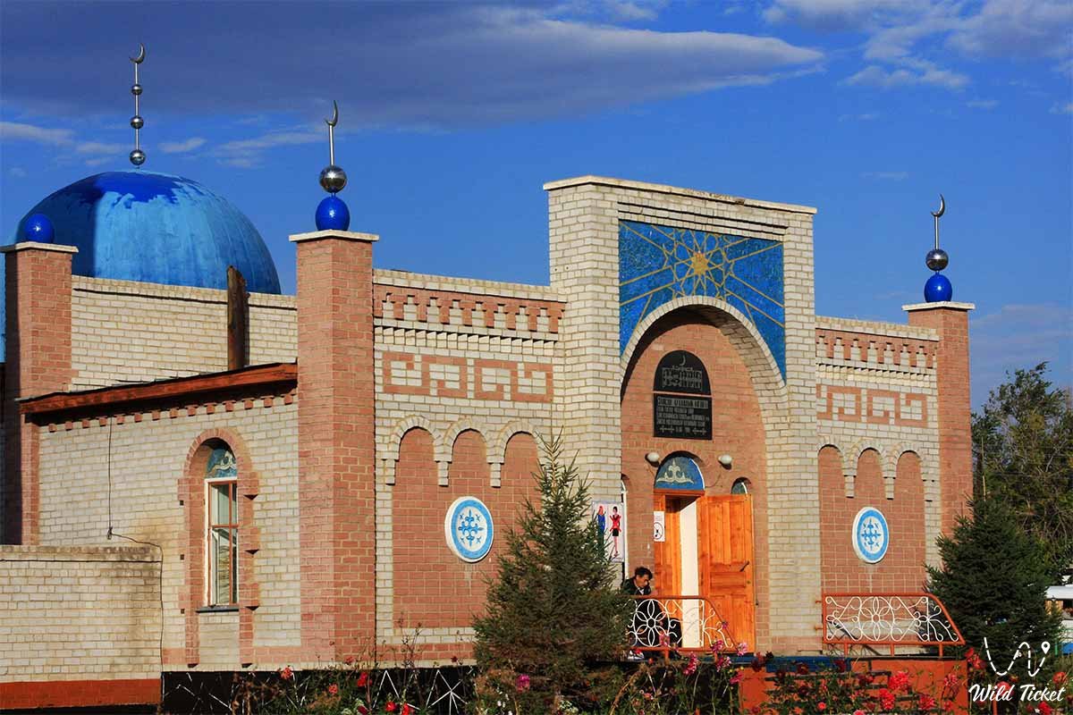
Зайсан также известен из истории как поселение Джеменей который был расположен на караванном пути, соединяющем Шауешек (на китайской земле) и Семей. До Октябрьской революции (1917 г.) в городе было 2 школы, библиотека, врачебный пункт, 2 мечети. С 1941 года является районным центром. Деревня Зайсан была основана в 1868 году как российский военный пост, имеет статус города с 1941 года.
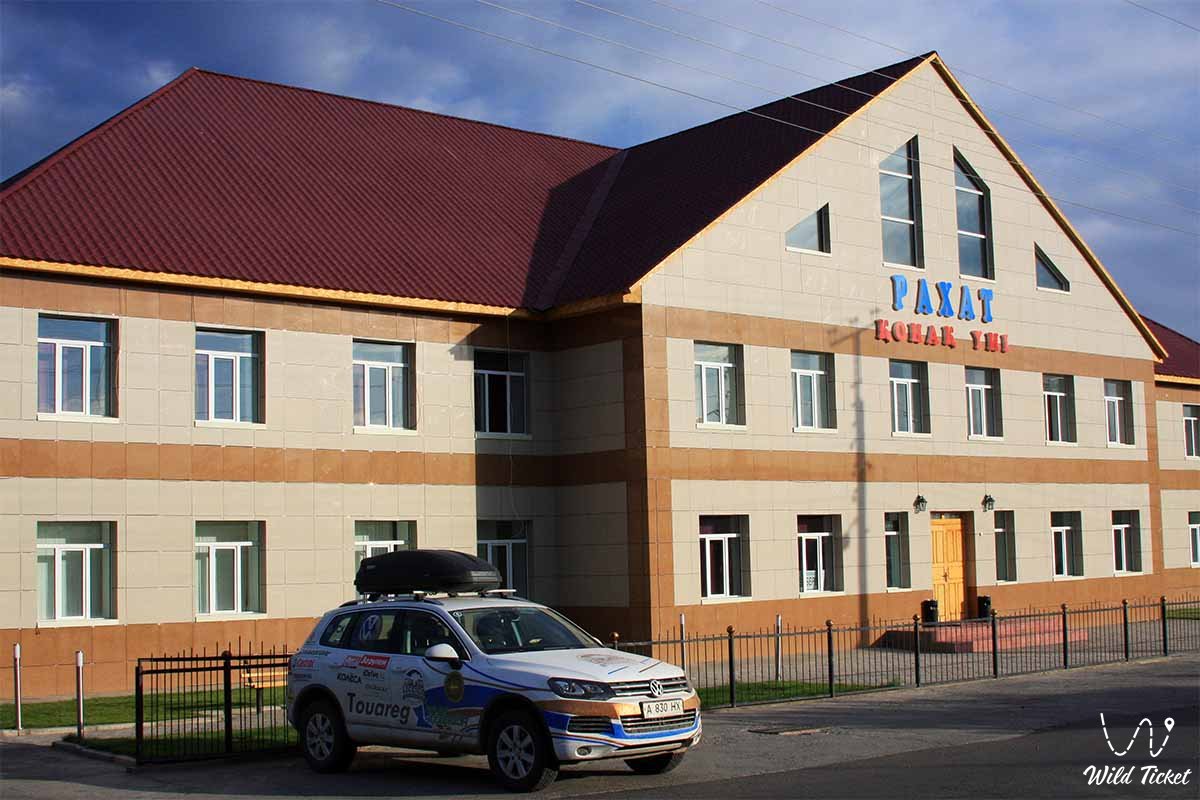
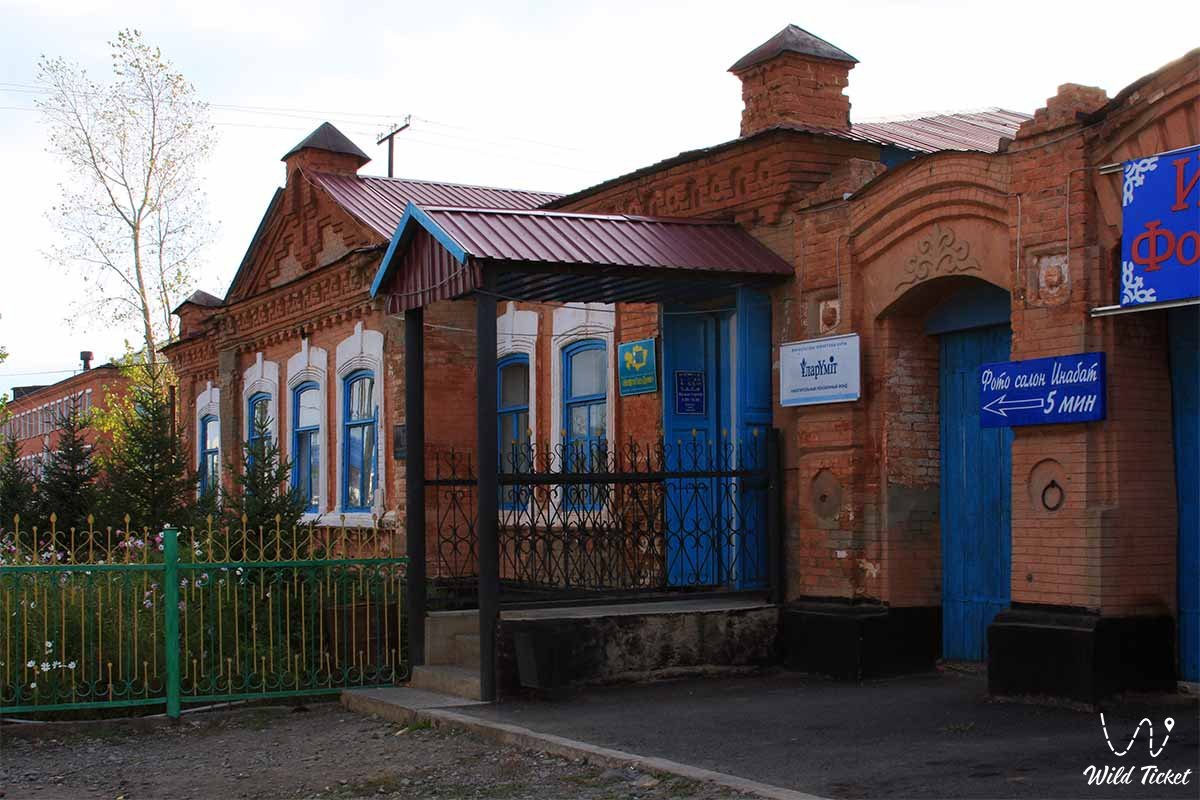
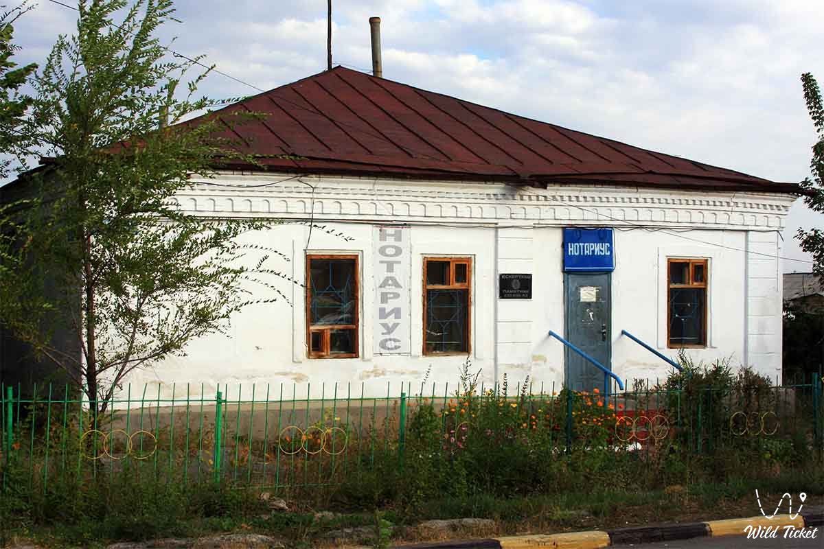
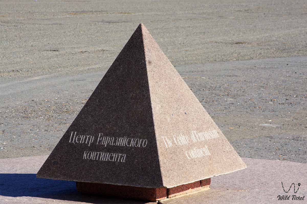
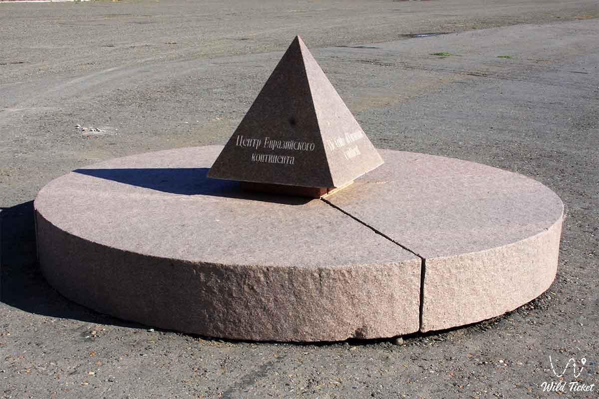
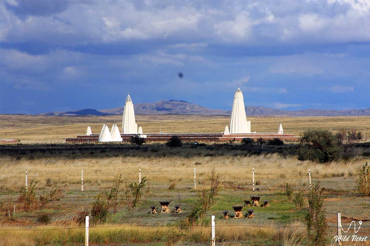
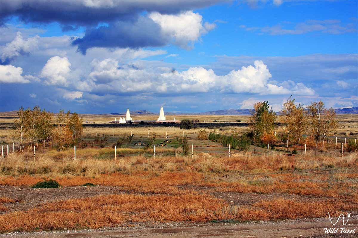
Фотогалерея: