Уникальный гидрографический объект, природный символ экологических изменений -
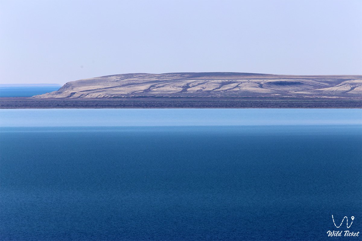
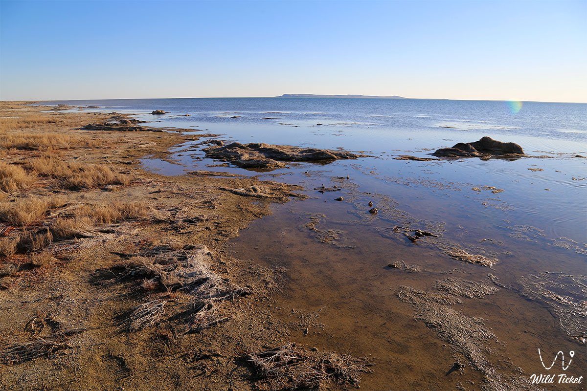
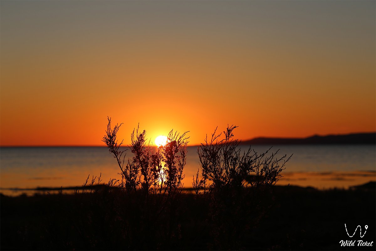
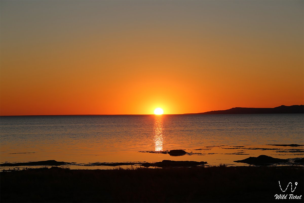
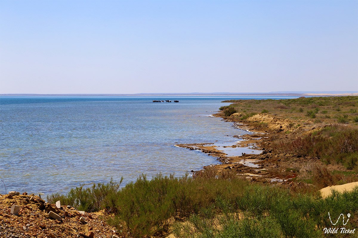
Залив Бутакова (ранее – залив Перовского) представляет собой выдающийся географический и гидрографический объект в Аральском районе Кызылординской области Казахстана, расположенный в самой северной части Малого Аральского моря. Акватория находится между полуостровами (в некоторых источниках – скалами) Шубартарауз (Шубартарыс) на юге и Коктырнак на востоке.
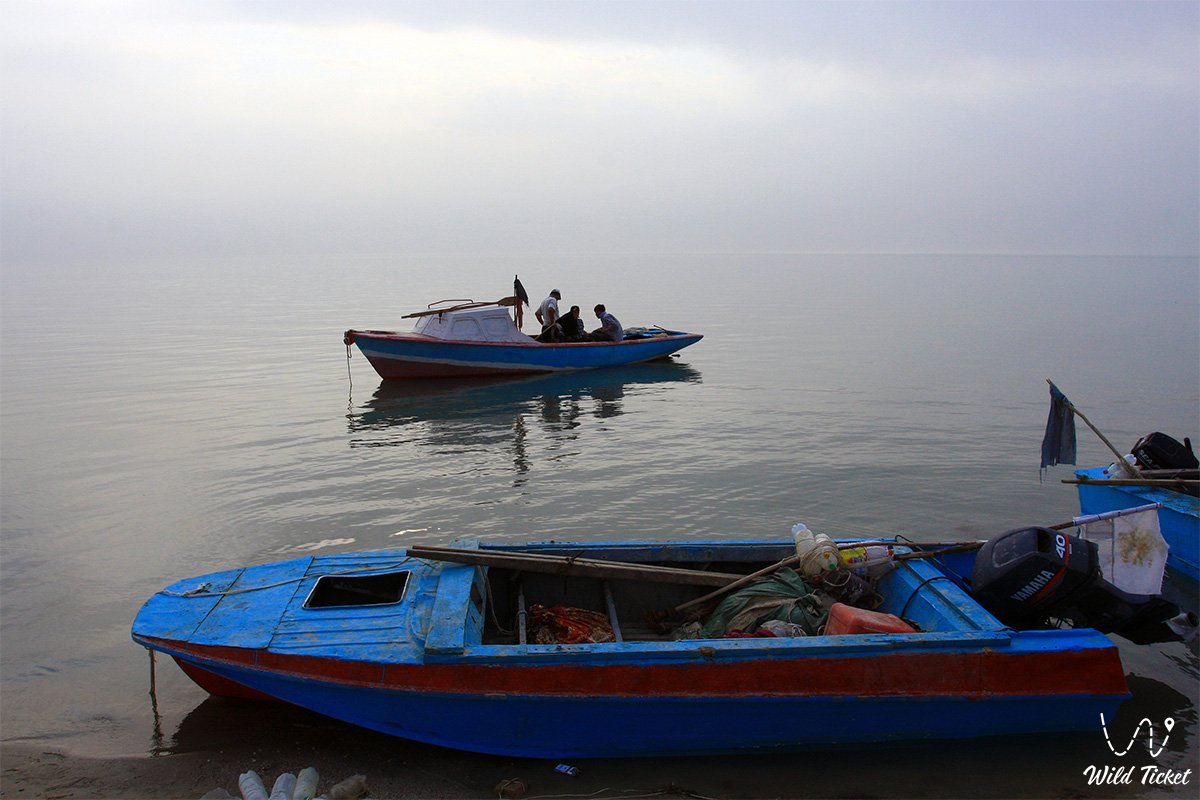
Этот уникальный природный сектор служит важнейшей площадкой для изучения влияния антропогенных и природных факторов на экосистемы региона, наглядно демонстрируя силу климатических изменений и масштабы экологической трансформации Приаралья. Окружающая местность привлекает исследователей, ученых и экологических туристов со всего мира благодаря своей палеонтологической значимости и уникальным природным ландшафтам. Рядом с заливом находиться село Акеспе, где можно остановиться и геотермальный водный источник Ыстык-су, в котором можно принять радоновую ванну.
Изначально залив получил свое название в честь Василия Алексеевича Перовского, военного губернатора Оренбурга. Впоследствии он был переименован в честь выдающегося морского офицера, контр-адмирала и исследователя Аральского моря Алексея Ивановича Бутакова, который в 1848 году возглавил первую научную экспедицию на Арал и составил навигационную карту района.
До значительного понижения уровня моря протяженность водной поверхности залива с запада на восток составляла около 40 километров, а наиболее широкая часть достигала 20 километров. Из-за усыхания водоема размеры существенно сократились: по оценке 1997 года длина уменьшилась до 20 километров, а ширина – до 3–4 километров.
На начало 2020 года длина залива с юго-востока на северо-запад зафиксирована на отметке 23,7 километров, ширина в восточной части составила 11,2 километра, а в западной – 5,7 километров, при этом от остальной части моря его отделяет небольшой пролив шириной 2–2,5 километра.
Сегодня залив Бутакова входит в состав Аральского геопарка, который стремится войти в Глобальную сеть геопарков ЮНЕСКО, и является важным пунктом экспедиционных и научно-познавательных маршрутов.
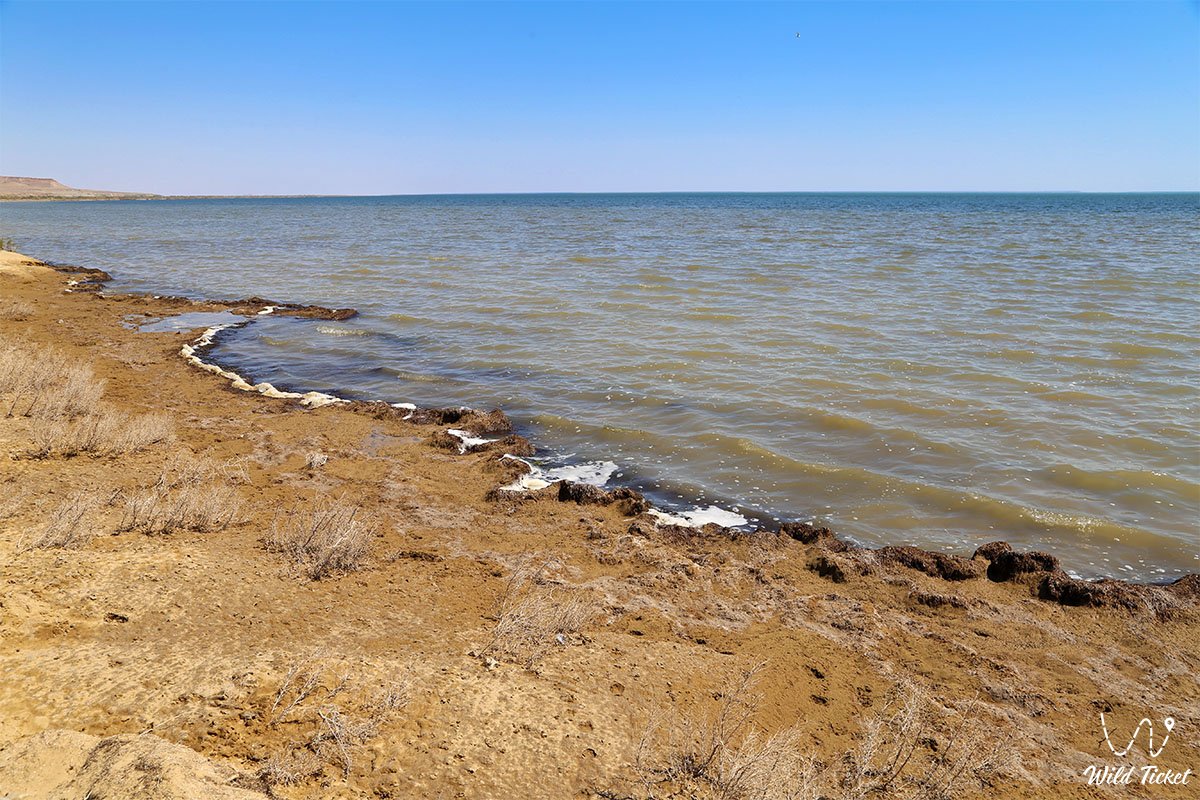
Высокая соленость воды, которая в 2005 году составила 24–27 г/л, существенно превышает средние показатели Северного Аральского моря, что свидетельствует о глубоких изменениях в водном балансе. Тем не менее, здесь сохранились устойчивые микро-экосистемы: исследования бентических организмов (бентоса) зафиксировали высокую численность почти всех организмов, типичных для Арала, что вселяет осторожный оптимизм относительно будущего биологического восстановления края.
---------------------------------------------
Как добраться и посетить -
Залив Бутакова находится в самой северной акватории Малого Аральского моря, Аральский район, Кызылординская область, Республика Казахстан.
На его западном побережье, всего в 1,5–3 километрах от нынешнего берега, располагается деревня Акеспе, а в юго-восточном направлении находится поселок Тастубек. Расстояние от города Аральск до побережья залива составляет около 120 километров.
GPS географические координаты: 46°43'35"N 60°40'22"E
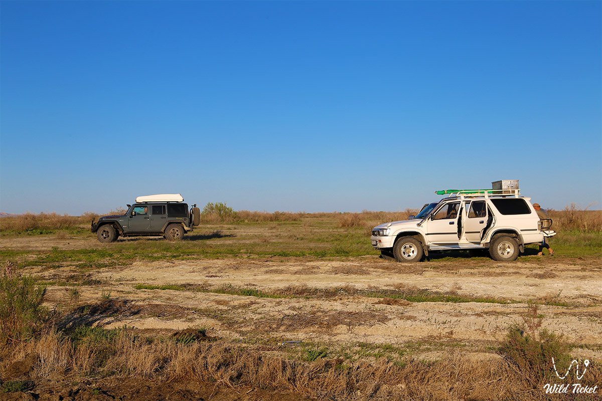
Транспортная логистика этого дикого сектора полностью исключает городской общественный транспорт – регулярные автобусы к заливу не ходят. Путешественники могут доехать на поезде до города Аральск или станции Саксаул, где на вокзалах нанимают местных водителей на такси.
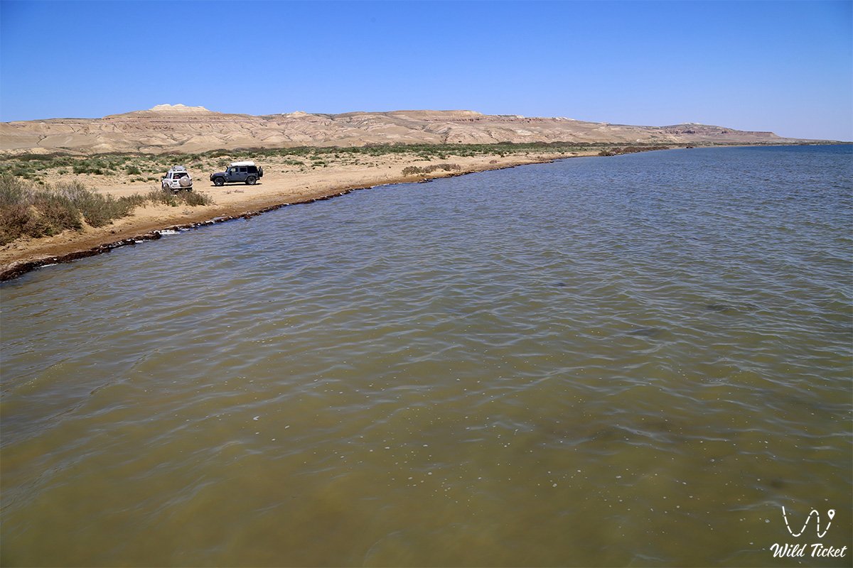
При поездке на автомобиле из Кызылорды маршрут сначала пролегает по гладкой международной автомагистрали «Западная Европа – Западный Китай» (более 500 километров до Аральска), после чего последние 50 километров перед Акеспе приходится преодолевать в условиях полного бездорожья.
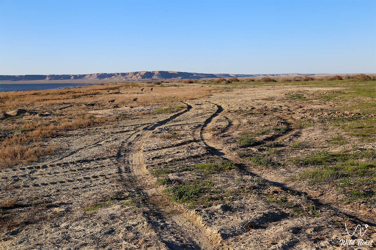
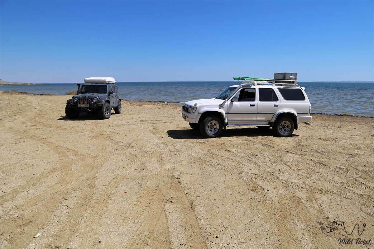
Для поездки к заливу подходит исключительно подготовленный полноприводный внедорожник (джип 4х4) высокой проходимости. Из-за суровых условий, холмистого рельефа и обилия солончаков, которые после редких осадков размываются и становятся непроходимыми, категорически не рекомендуется путешествовать в одиночку на одной машине.
В экспедицию должно отправляться минимум два автомобиля для взаимопомощи и безопасности. Водителям необходимо иметь при себе спутниковые навигаторы, надежные лопаты, буксировочные тросы, дополнительное топливо и большой запас пресной питьевой воды.
Режим работы: акватория залива и прилегающее побережье доступны для посещения круглосуточно и круглый год. Вход на территорию и въезд транспорта полностью свободные, никаких касс, билетов, платных пропускных пунктов или экологических сборов здесь не предусмотрено.
Поездку рекомендуется планировать на весенний период или раннюю осень (например, октябрь). Летом в регионе преобладает сильная жара (средняя температура июля составляет 32°C), что делает путешествие физически тяжелым.
Все палаточные лагеря организуются экспедициями самостоятельно в диких условиях. При желании туристы могут остановиться на ночлег или заказать домашний обед у местных жителей в гостевых домах нового поселка Акеспе.
---------------------------------------------
История
История залива Бутакова отражает драматические хроники Аральской экологической катастрофы. В середине XIX века, а именно в 1848 году, залив стал объектом первой масштабной научной экспедиции под руководством Алексея Бутакова, чья составленная навигационная карта успешно использовалась отечественными мореплавателями до 1950-х годов. В те времена залив был полноводным, берега использовались для рыболовного промысла, а прилегающая кора формировалась вековыми геологическими отложениями мела, палеогена, неогена и четвертичного периода.
С конца XX века из-за падения уровня воды море отступило от своих исторических границ, оставив за собой пустынные, покрытые солью равнины. Прибрежные поселения оказались под угрозой исчезновения и за считанные годы были занесены движущимися песками, что заставило людей переносить свои аулы на новые места. Сегодня залив Бутакова поддерживается в стабильном состоянии как часть Малого Аральского моря, сохраняя уникальные палеонтологические пласты и бентические экосистемы, важные для мировой географической науки.
Информация
В регионе преобладает холодный степной климат со среднегодовой температурой около 9°C. Самым теплым месяцем является июль (+32°C), а самым холодным – февраль, когда температура опускается до -10°C. Среднегодовое количество осадков составляет всего 231 миллиметр, при этом наиболее дождливым месяцем признан март (в среднем 49 мм), а самым засушливым и комфортным для степных поездок – сентябрь (выпадает всего 9 мм осадков).
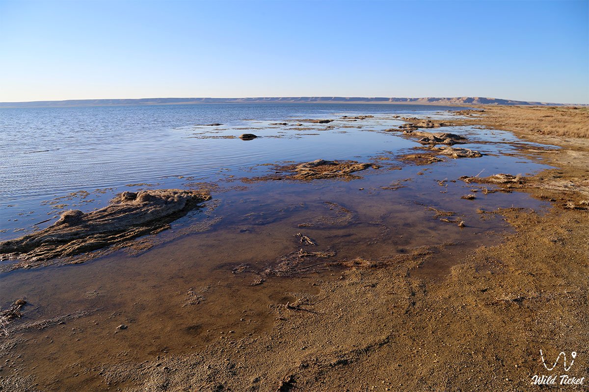
Побережье залива отличается ландшафтным разнообразием: его северная сторона крутая и обрывистая, в то время как юго-западная часть – пологая, низменная и болотистая. Окрестности характеризуются холмистым рельефом с преобладанием такыров, солонцов и солончаков. Флора побережья представлена типичными для полупустынной зоны растениями: здесь произрастают камыш, чий и кустарники саксаула.
Подробное описание объекта
Продуманная инфраструктура природного и исторического комплекса включает следующие оригинальные локации и географические особенности:
• Крутой северный берег – обрывистая прибрежная линия залива, примыкающая к холмистому рельефу и используемая как панорамная точка для обзора акватории.
• Низменное юго-западное побережье – пологий, частично болотистый береговой сектор, у которого произрастают камыш и чий.
• Пески Малые Барсуки – крупный пустынный массив, который с северной стороны вплотную подходит к границам залива Бутакова.
• Уникальный соединительный пролив – водный коридор шириной 2–2,5 километра, отделяющий внутреннюю часть залива от основного бассейна Малого Аральского моря.
• Движущиеся песчаные барханы – прибрежные дюны из золотистого песка у поселка Акеспе, постоянно меняющие свои очертания под воздействием степных ветров.
• Аральская палеофауна в урочище Акеспе – всемирно известное палеонтологическое захоронение олигоценовой эпохи возрастом 25–26 миллионов лет, обнаруженное в 1925 году на побережье залива.
Архитектура
Архитектурно-инженерный ансамбль района залива Бутакова представлен функциональными объектами, созданными для адаптации человека к суровому климату. В жилом секторе новых прибрежных аулов дома возводятся из самана и самано-кирпичной облицовки, обеспечивающей отличную теплоизоляцию во время летнего зноя и зимних буранов. Инженерными доминантами побережья выступают современные пункты приема рыбы, оснащенные мощными стационарными холодильными установками для сохранения улова, а также высокие мачты антенн сотовой связи, обеспечивающие навигационную безопасность экспедиционных групп.
Важнейшим гидротехническим сооружением региона, влияющим на состояние залива, является находящаяся неподалеку Кокаральская плотина, чьи регулирующие шлюзы удерживают водный баланс Малого Арала.
Легенда
Хотя сам залив Бутакова изучается преимущественно с академической и экологической точек зрения, его побережье хранит память о выдающихся научных открытиях прошлого. Местные жители передают истории о палеонтологических экспедициях Института палеонтологии Академии наук СССР и Института зоологии АН РК, чьи раскопки в XX веке напоминали настоящие приключения. Главной легендой этих мест стал поиск окаменелостей доисторических гигантов, обитавших здесь миллионы лет назад.
Среди ученых и проводников до сих пор рассказывают о знаменитой находке 1933 года. Тогда на побережье был обнаружен уникальный, практически целый череп гигантского олигоценового носорога, напоминающего индрикотерия, – древнего хозяина Тургайской равнины.
К сожалению, второй найденный череп был случайно поврежден во время тяжелых раскопок. Этот факт придает истории ученых налет драматизма.
Местные меловые обрывы до сих пор привлекают исследователей и путешественников, ведь приаральская земля хранит тайны древней биосферы Земли. В этих слоях залегают окаменелые остатки доисторических белок, грызунов, хищников и сухопутных черепах. Также здесь находят древних двустворчатых моллюсков и зубы доисторических песчаных акул рода Odontaspis.
Заключение
Залив Бутакова – это великолепный исторический мост, соединивший эпоху первых географических открытий контр-адмирала Бутакова с современным экологическим, научно-краеведческим и приключенческим туризмом Кызылординской области. Посещение этого пустынного зеркала позволяет путешественникам воочию увидеть последствия масштабных климатических изменений, оценить упорство прибрежных жителей и прикоснуться к древней палеонтологической истории, запечатленной в олигоценовых отложениях.
Залив остается важнейшим ориентиром для экстремальных автоэкспедиций и экологических туров в Аральском районе. Маршруты джип-туров неизменно включают эту панорамную точку в свои программы, давая возможность каждому лично увидеть безмолвного свидетеля великой степной истории и ощутить суровую красоту дикой природы.
Интересные достопримечательности рядом:
• Заповедник Барсакельмес;
• Залив Шевченко;
• Поселок Акбасты;
• Поселок Тастубек.
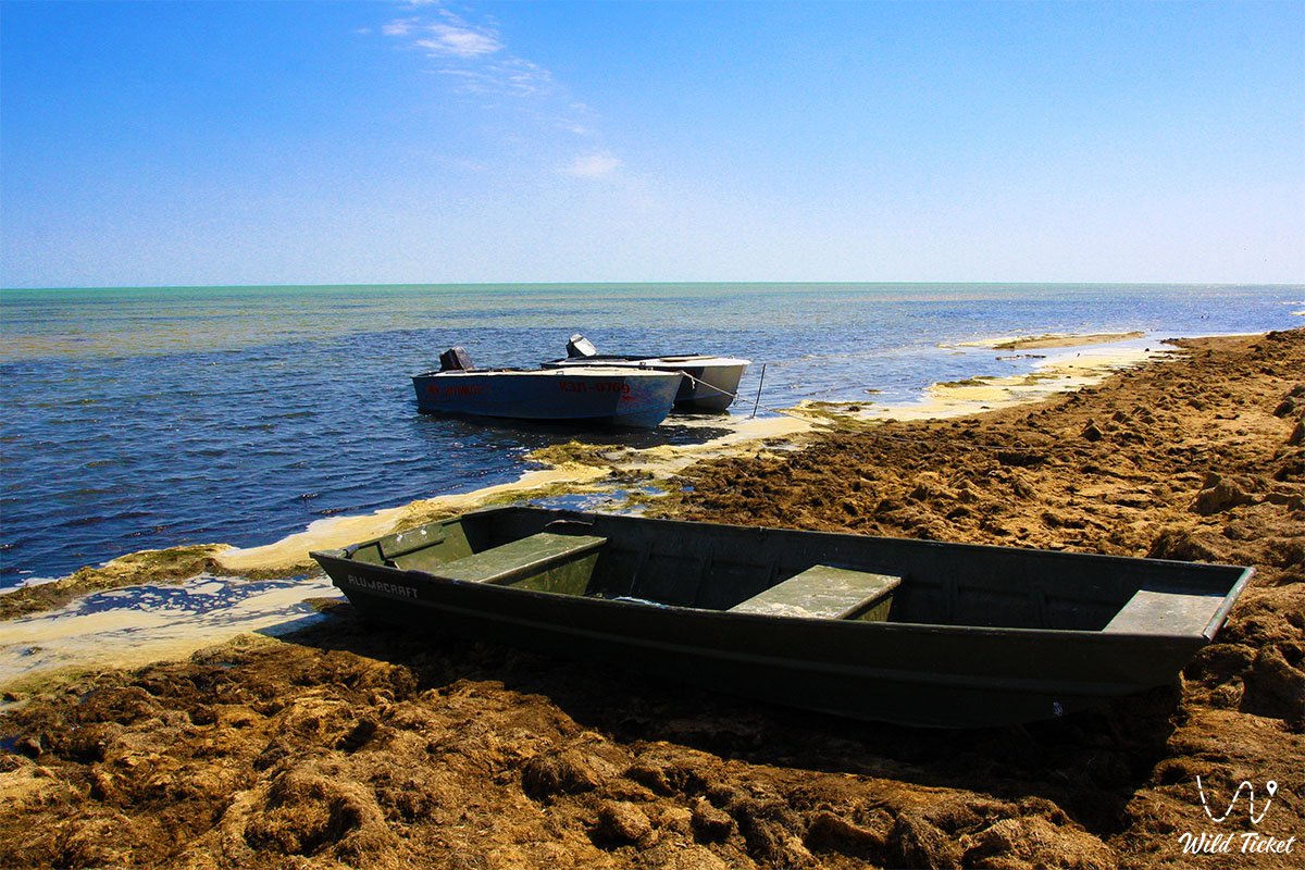
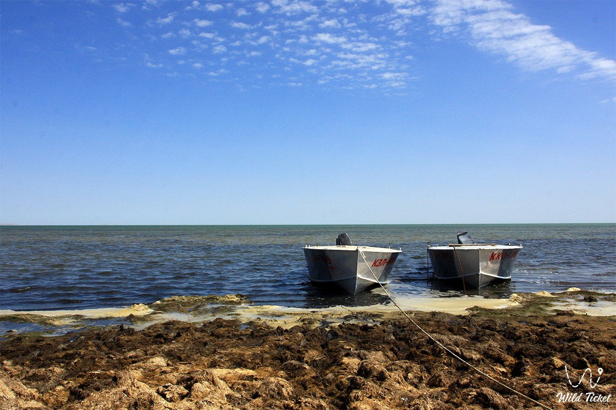
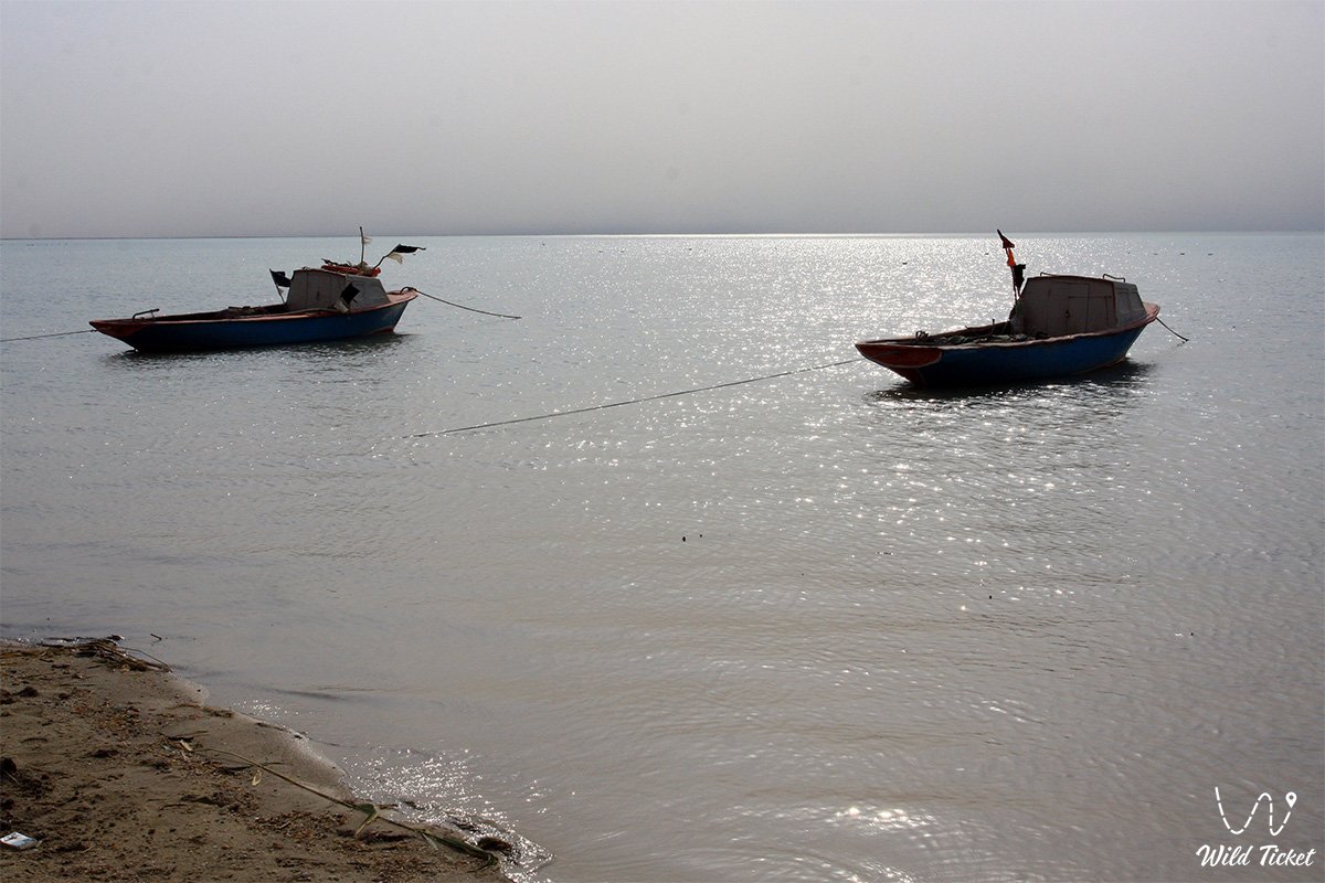
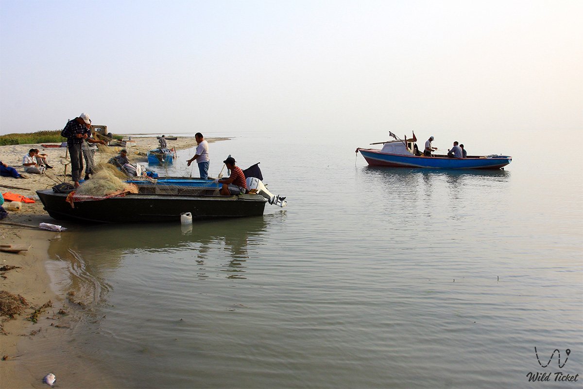
Фотогалерея: