Revival of the great body of water in Central Asia -
The Large Aral Sea (Large Aral or South Aral) represents a complex dynamic system of hypersaline lakes formed on the site of the southern part of what was once the fourth-largest endorheic lake on the planet. This large-scale geographical feature is located on the border of the Republic of Karakalpakstan within Uzbekistan, as well as the Kyzylorda and Aktobe regions of Kazakhstan.
The relict basin occupies deep tectonic faults and depressions along the eastern cliff of the Ustyurt Plateau. Since the 1960s, due to intensive water intake from the feeding rivers Amu Darya and Syr Darya River for the irrigation of agricultural lands, the sea level began to fall rapidly. In 1989, the single Aral Sea split into two isolated water bodies – the North (Small) Aral Sea and the South (Large) Aral Sea.
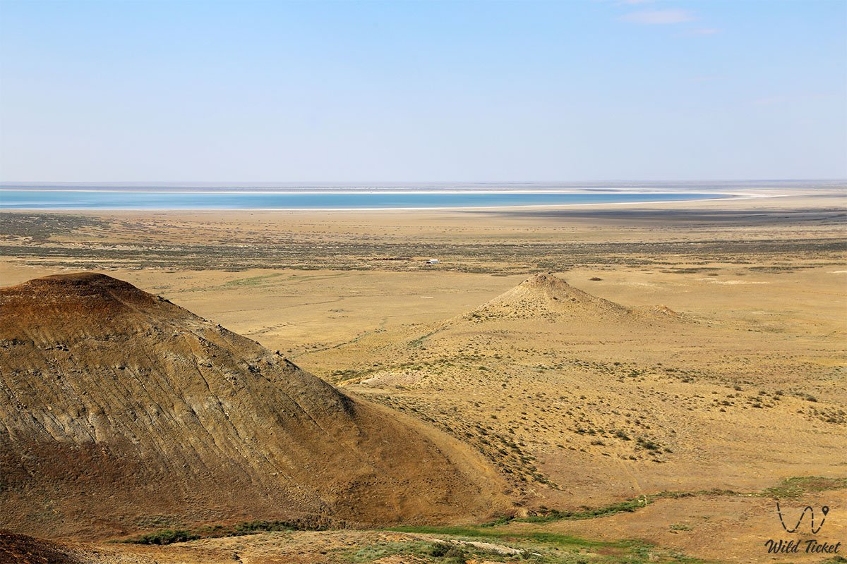
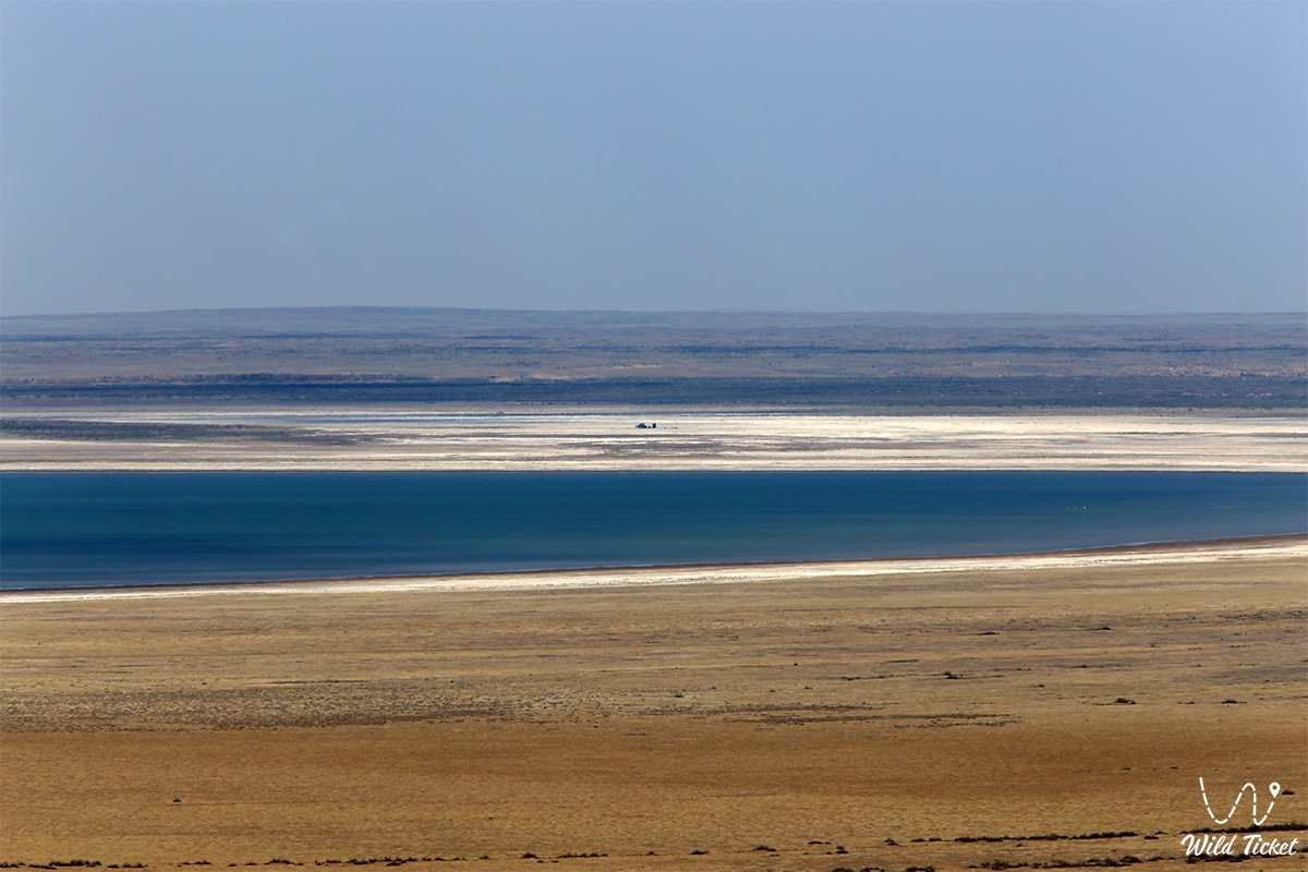
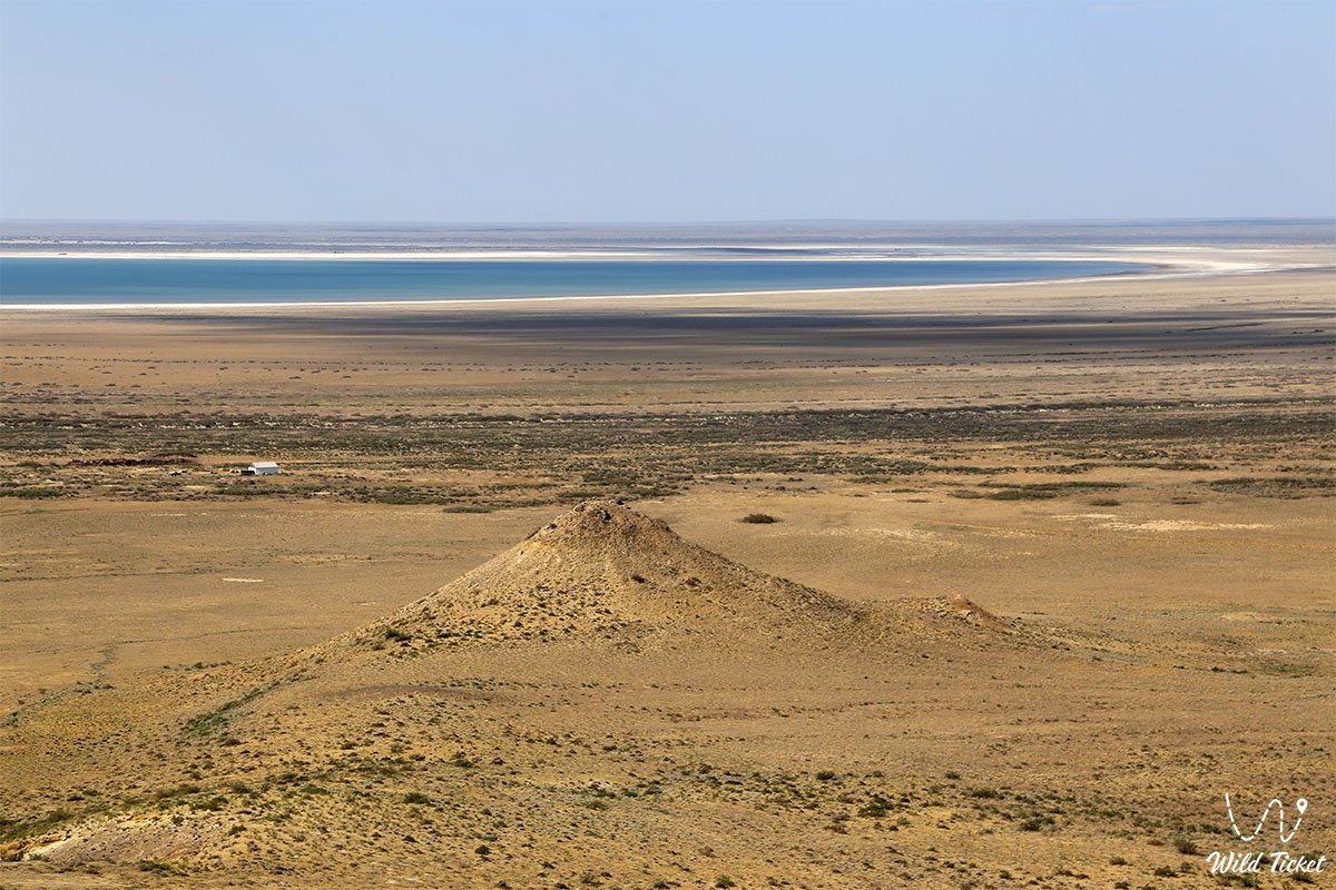
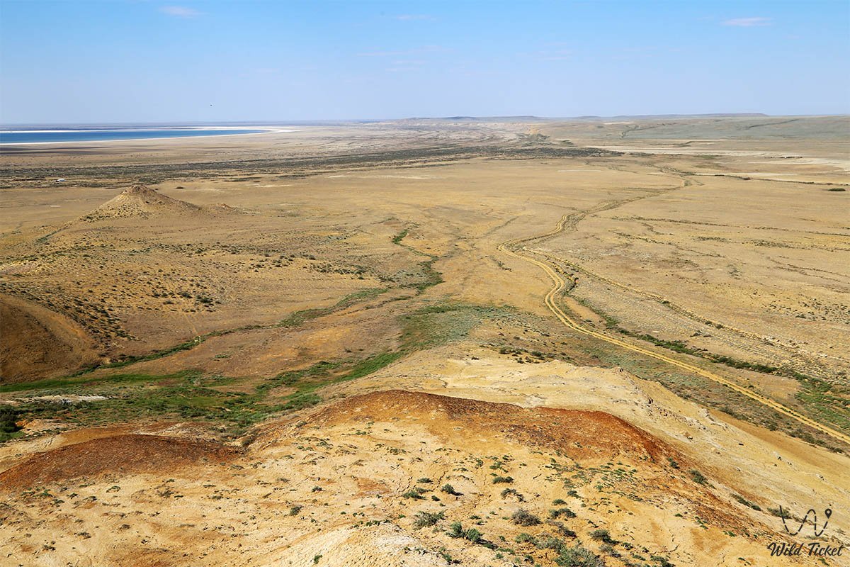
In its modern hydrological state, the Large Aral is represented by two separate parts: the deep western and shallow eastern sections, connected by the Uzun-Aral strait at an absolute elevation of 34 meters above sea level. The western basin maintains a stable water surface area within 3,500–3,800 square kilometers with an average depth of 14–15 meters and maximum depressions of up to 37–40 meters. Its existence is sustained by the regular discharge of underground groundwater amounting to about 2 cubic kilometers per year. The eastern basin functions in an unstable regime, periodically turning into an extensive salt marsh.
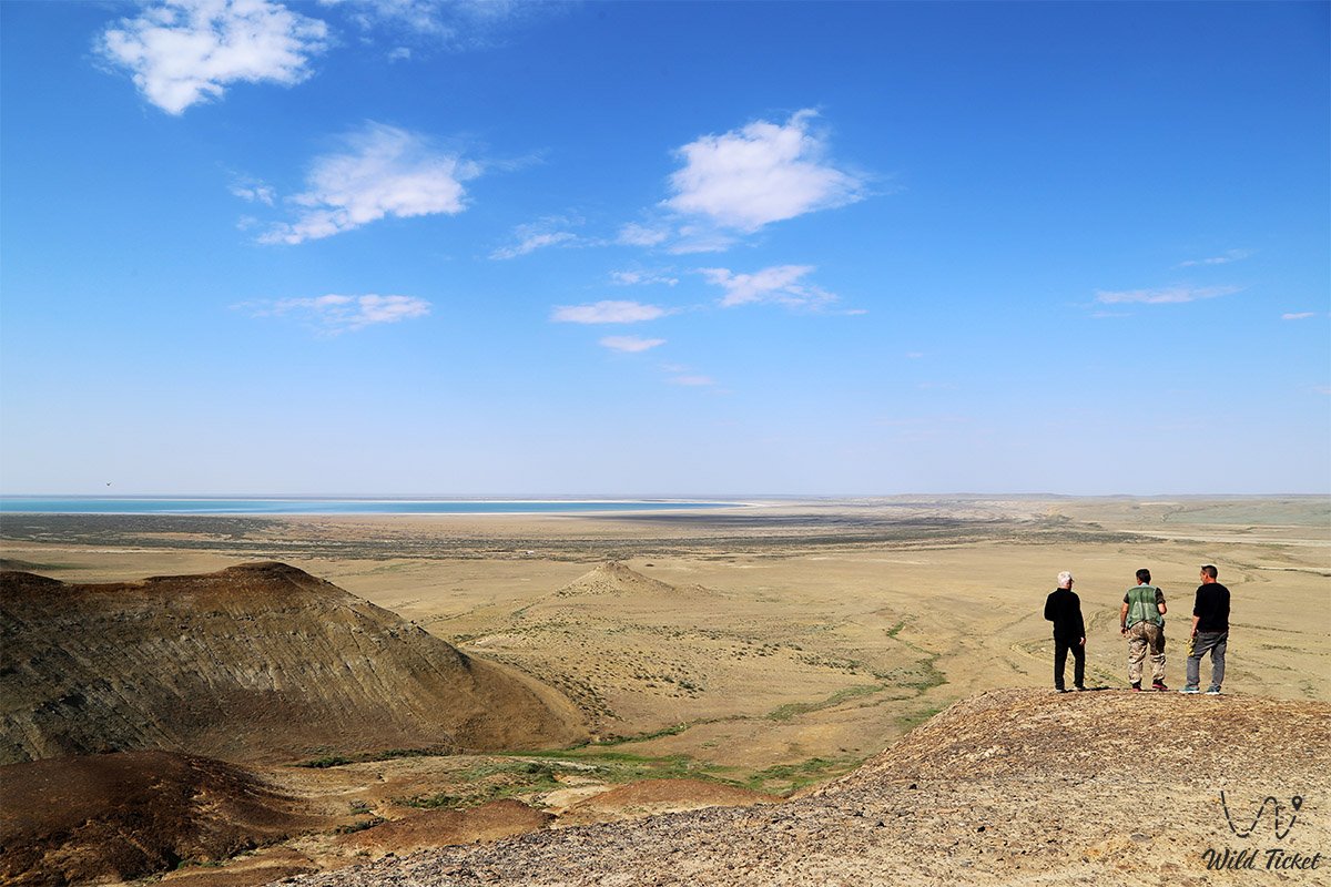
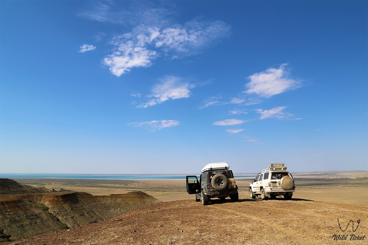
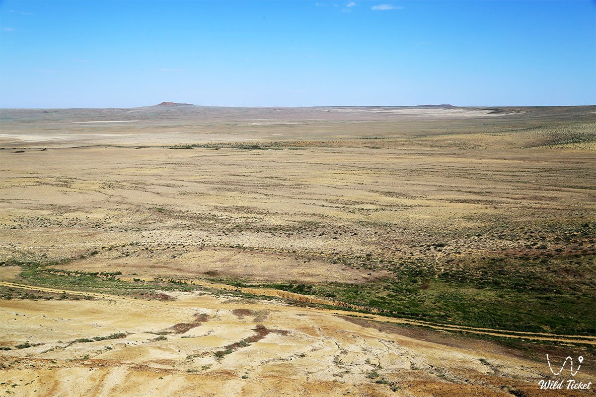
Today, the Large Aral Sea is recognized as an essential testing ground for limnological, climatic, and paleontological research, as well as a unique center for extreme expeditionary auto-tourism. The exposed marine terraces, Martian-like chinks of Ustyurt, and azure hypersaline water attract ecological scientists and off-road travel enthusiasts from all over the world. Expeditions to the waters of the Large Aral traditionally start from Nukus and Muynak, through the city of Aralsk, and also through the Kazakh villages of Akespe and Karateren.
Travelers rush here to witness the surreal contrasts of white limestone cliffs and dark-turquoise oily waves, explore former islands that have become part of the mainland, and appreciate the colossal scale of transformation of the Central Asian landscape.
List of programs for the Aral Sea in Kazakhstan
--------------------------------------------
How to get there and visit -
The Large Aral Sea occupies the western and central parts of the deep depressions of the former Aral seabed on the territory of Uzbekistan and Kazakhstan. The main base points for expeditions are the Uzbek cities of Nukus, Kungrad, and the former port of Muynak, while from the side of Kazakhstan – the town of Shalkar and the remote settlements of Bozoy, Akbasty, and Karateren. The distance from the nearest settlements to the wild coast of the Western Sea ranges from 120 to 180 kilometers over complete off-road terrain.
GPS geographical coordinates: 45°45'39"N 58°59'57"E
Transport infrastructure of the region completely excludes regular routes and scheduled transport. Reaching the water's edge is possible exclusively within autonomous expeditions in prepared vehicles or as part of organized jeep tours with experienced guides. Local guides know well the descents from the Ustyurt chinks and bypasses around treacherous coastal salt marshes, where soft silt lies beneath a thin salt crust.
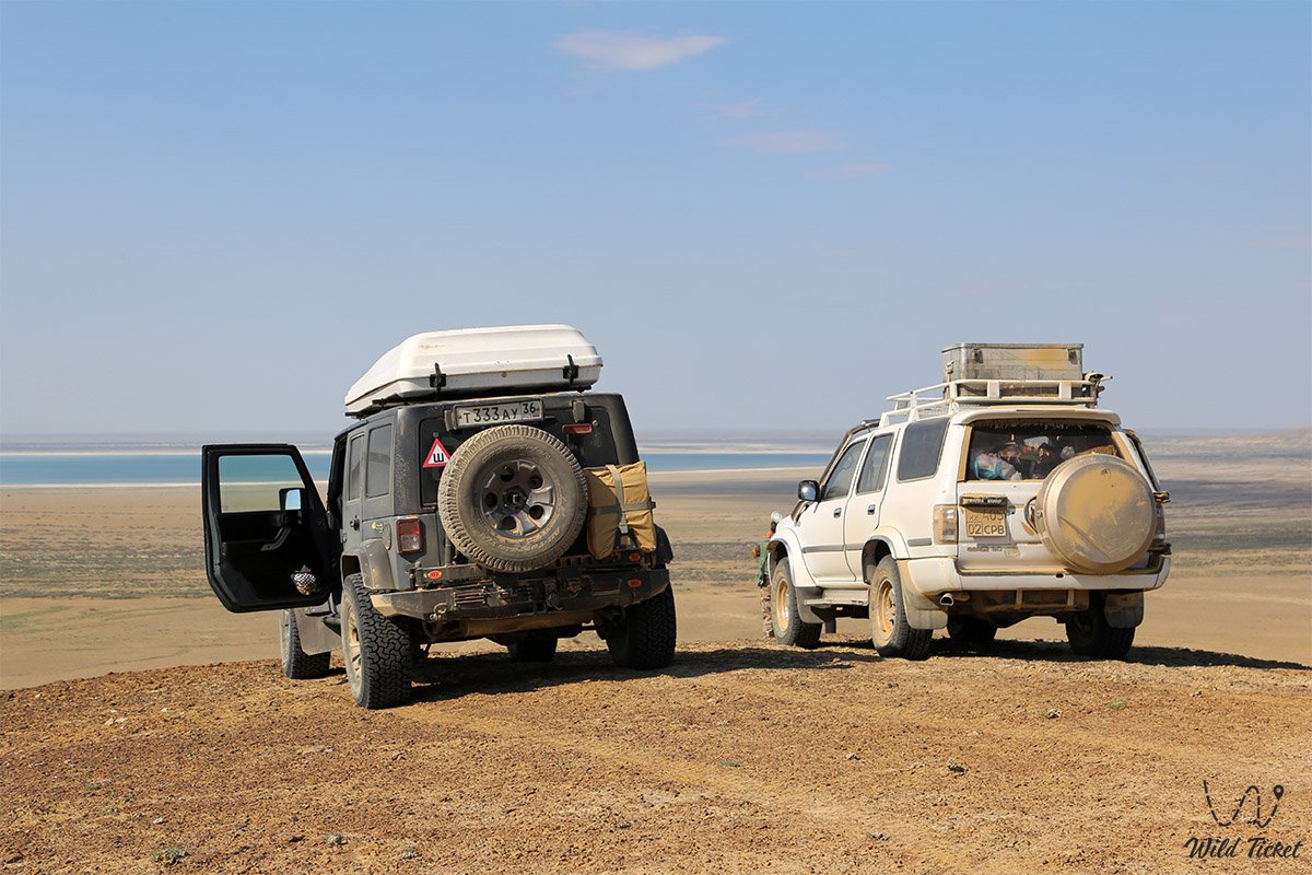
For safe travel along the route, a frame-based four-wheel-drive off-road vehicle (4x4) with high ground clearance, reinforced suspension, and reliable mud-terrain tires is necessary. A particular danger is posed by batpaks – deep salt marsh quagmires capable of immobilizing even heavy vehicles, as well as screes on steep plateau slopes.
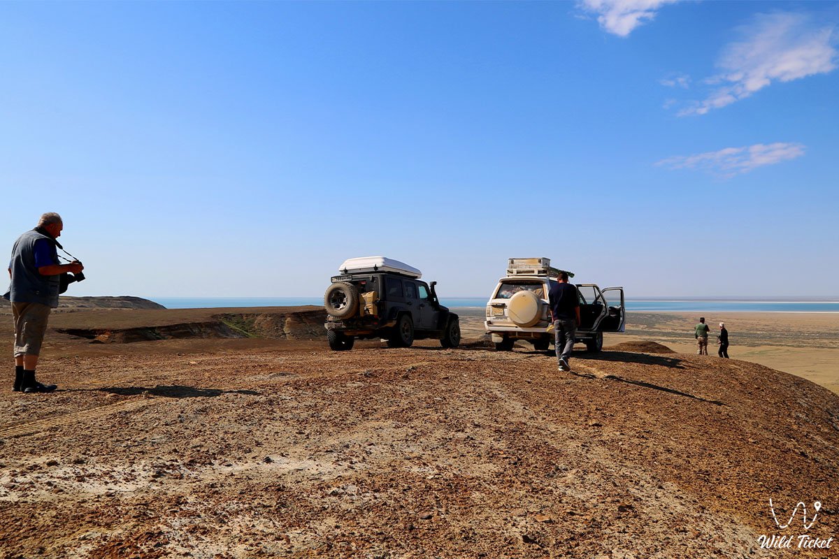
It is strictly forbidden to travel to the Large Aral alone in a single vehicle. The expedition group must consist of at least two vehicles equipped with satellite phones, GPS navigation, sand tracks, hi-lift jacks, dynamic tow straps, air compressors, a fuel reserve for at least 600 kilometers of autonomous travel, and drinking water calculated at no less than 5 liters per person per day.
The best time to visit the South Aral is spring (April – May) and early autumn (September – October). During the summer period, air temperature in the depression rises above 42–45°C, relative humidity drops to extreme levels, and hot winds raise salty dust. In winter, the area is subject to gale-force winds and frosts down to -20°C.
For overnight stays, tourists set up autonomous tent camps on the plateau or stay in seasonal yurt camps located on the coast of the Western Aral under the protection of the Ustyurt cliffs.
--------------------------------------------
History
The history of the Large Aral is a chronicle of the dramatic decline of a giant water reservoir that determined the climate and economy of the region for millennia. In the historical period, the area of the unified sea with islands was 64,490 square kilometers, the maximum length reached 428 kilometers, and the width was 284 kilometers. The water body was steadily replenished by the turbulent Syr Darya and Amu Darya rivers.
In 1961, the modern stage of intensive anthropogenic impact began, when large-scale development of irrigated agriculture in Central Asia required the withdrawal of up to 70–75 cubic kilometers of river flow per year. The catastrophic water deficit coincided with natural low-water cycles. From 1961 to 1990, the sea level dropped by 15 meters (from an elevation of 53 to 38 meters), and the total volume of water mass decreased threefold. Scientists note that the Aral Sea also experienced natural periods of shallowing in the Middle Ages, after which it recovered, but modern desiccation has acquired an irreversible character.
Key stages of drying and fragmentation of the reservoir:
• 1989 – the single Aral Sea finally divided into isolated basins: the North (Small) and South (Large) Aral.
• 1992–2005 – the construction of dikes in the Berg Strait and the erection of the permanent Kokaral Dam ensured the stabilization of the Small Aral, but completely cut off the flow of the Syr Darya into the southern basin, accelerating the desiccation of the Large Sea.
• 2001 – the Large Aral split into the deep Western and shallow Eastern basins; Vozrozhdeniya Island connected with the mainland and became a peninsula.
• 2009 – the Eastern Sea completely dried up for the first time, the Uzun-Aral strait dried out, and the Vozrozhdeniya Peninsula finally turned into mainland coast.
• 2010–2015 – a period of pulsating regime: in the summers of 2010 and 2012, the eastern basin was temporarily filled with meltwaters of the Amu Darya, expanding the area of the entire Aral to 10,780 square kilometers, but by the autumn of 2015 the reservoir shrank again to 8,303 square kilometers with repeated drying of the eastern segment.
After 2009, the active desiccation of the deep-water western part slowed down due to a reduction in open evaporation area and a constant inflow of groundwater.
Information
The desiccation of the Large Aral Sea fundamentally transformed the regional biosphere. The primary factor of degradation was an avalanche-like increase in mineralization. While prior to 1960 salinity was a comfortable 10 grams per liter, by 2007 in the Western Sea it had grown to 70 g/l, and in the Eastern Sea to 100 g/l. By 2009, the salt concentration reached 100 ‰ and 200 ‰ respectively, which turned the water body into a hypersaline environment and completely destroyed traditional fishing and economic activities. Scientific projects exist to divert the residual bed of the Amu Darya directly into the Western Large Aral to desalinate the water area and partially restore the ecosystem.
On the exposed seabed, the new sandy-salt desert Aralkum formed. Toxic dust storms rise from the bare seabed, carrying tons of salts and chemical pesticides over thousands of kilometers, provoking respiratory diseases among the population. Furthermore, the land connection of Vozrozhdeniya Island to the mainland removed the natural water barrier from a mothballed biological testing ground.
To stabilize the crisis, member countries of the International Fund for Saving the Aral Sea (IFAS) allocated about two billion dollars. International phytomelioration work is underway: vast stands of black saxaul and salt-tolerant shrubs are planted on millions of hectares of drained seabed, stabilizing shifting sands and curbing salt displacement.
Detailed description of the venue
The geographical complex of the Large Aral encompasses unique relict zones and large-scale geomorphological formations:
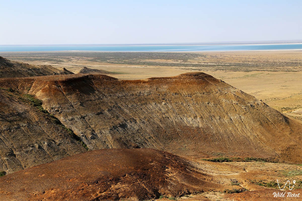
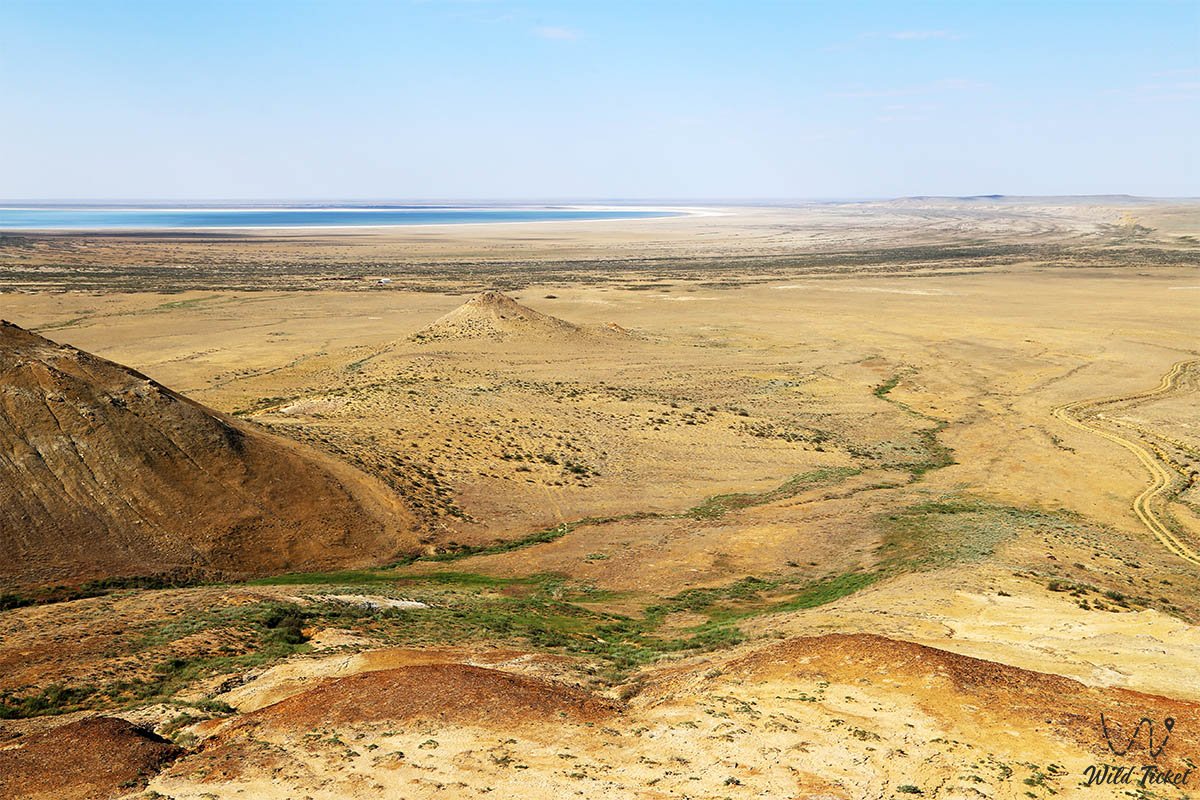
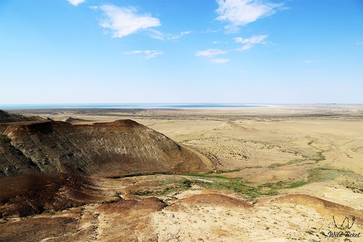
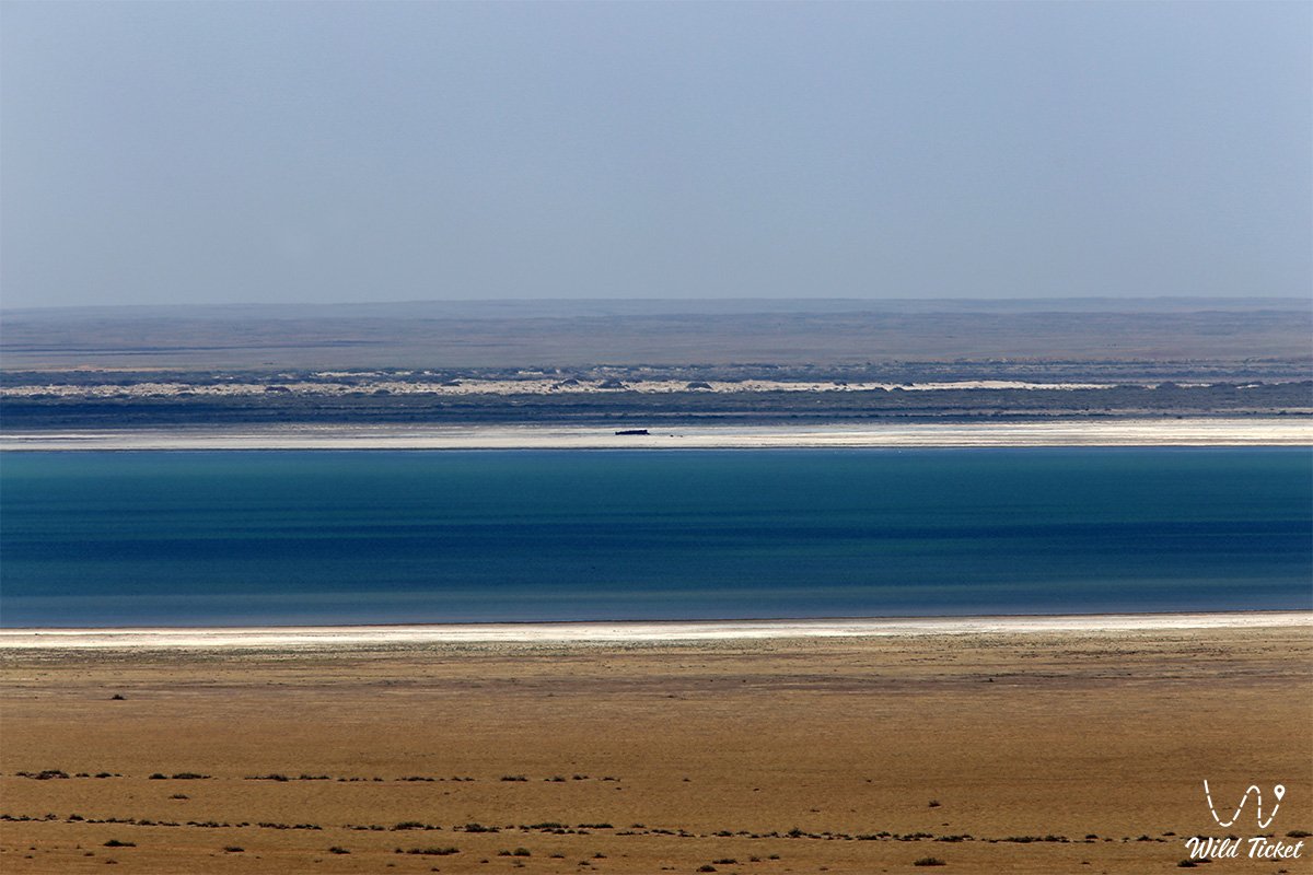
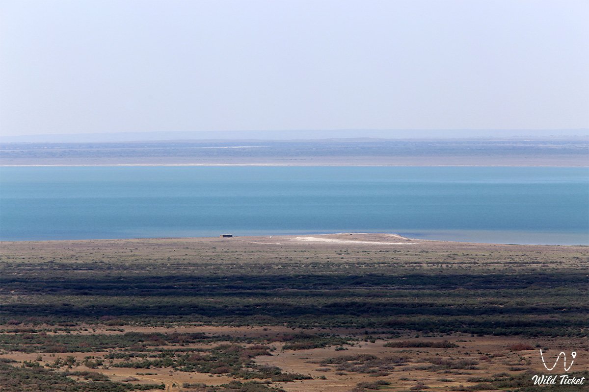
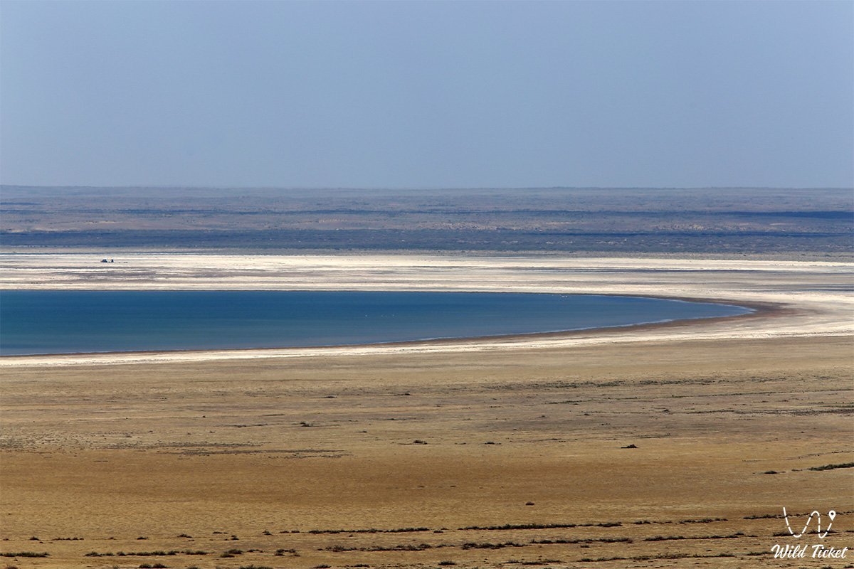
• Western Large Aral – a deep-water, stable part of the sea with highly mineralized, oily water of a turquoise hue, enclosed between the desert floor and cliffs.
• Uzun-Aral Strait – a natural hydrological channel at an elevation of 34 meters above sea level, through which water discharge occurred between the eastern and western basins in various periods.
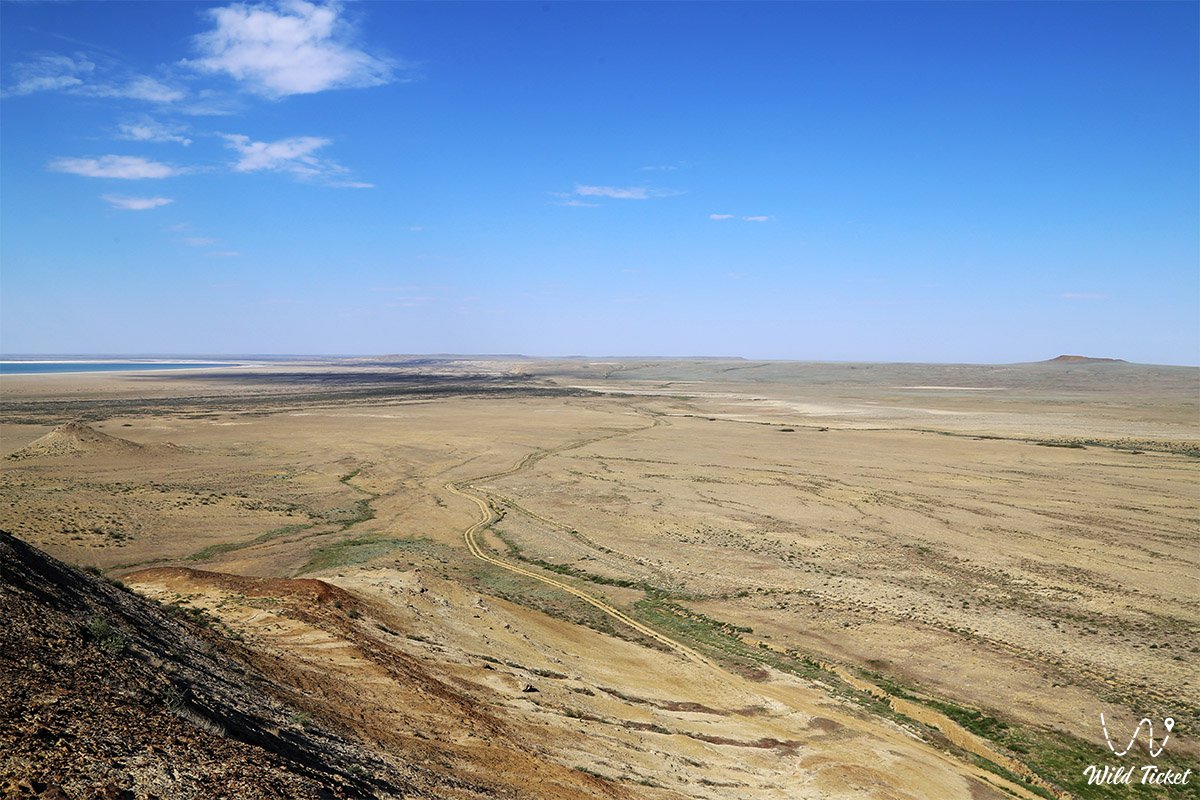
• Eastern Aral – a giant shallow salt-marsh basin representing a periodically drying floor covered with cracked takyrs and salt drifts.
• Chinks of the Ustyurt Plateau – monumental cliffs up to 200–250 meters high with multicolored geological layers of chalk, gypsum, and limestone, descending steeply to the very water's edge.
• Former Vozrozhdeniya Island – a vast landmass in the central part of the water area where a closed biological testing complex was located.
• Lake Tushchybas – an isolated relict bay in the north of the Large Aral fed by spring and drainage waters.
• Cape Aktumsyk – a picturesque rocky ledge of Ustyurt with the remains of an old lighthouse and an observation platform offering a 360-degree panorama of the endless sea.
Flora and fauna
A sharp increase in salinity above 100 ‰ led to the complete death of the native ichthyofauna: all 34 commercial fish species disappeared from the basin, including sturgeon, barbel, and carp. The only mass hydrobiont in the hypersaline waters became the small branchiopod crustacean artemia (Artemia parthenogenetica). Huge colonies of crustaceans and billions of their microscopic cysts form dark-brown accumulations near the shoreline and represent a valuable biological resource.
The flora of the adjacent chinks and dried seabed is represented by extremely hardy halophytes and xerophytes. On saline soils, glasswort, sarsazan, suaeda, and sea aster dominate. On the rocky ledges of the plateau, black and white saxaul, biyurgun, boyalych, and tamarisk survive, their powerful roots extracting moisture from deep cracks.
The wildlife of the surroundings is represented by inhabitants of deserts and plateaus. Rare Ustyurt mouflon (urial), goitered gazelles, saigas, corsac foxes, and wolves are encountered on the chinks. Among birds, steppe eagles, long-legged buzzards, saker falcons, and golden eagles nest on the cliffs, while colonies of flamingos and pelicans stop along rare spring channels.
Legend
The history of the disappearing Large Aral is shrouded in numerous legends and mystical tales. An ancient Karakalpak legend tells of the spirit of the White Lake, who sleeps in deep caves beneath the chinks of Ustyurt. According to belief, if people disrupt nature's harmony and ruthlessly take the life-giving moisture of rivers, the spirit awakens and opens secret underground drains, leading the blue waves into the depths of the earth until humanity realizes the value of every drop of water.
Stories about the "mirages of Ustyurt" also circulate among auto-travelers and scientists. On hot days, when scorching air shimmers over the salt marshes of the Eastern Sea, ghostly outlines of deep bays, white sailboats, and ancient caravanserai suddenly appear over the desert horizon, as if reminding of times when merchant ships sailed these waves and rich port cities bustled along the shores.
Conclusion
The Large Aral Sea is a majestic and harsh monument of contemporary environmental history, vividly demonstrating the power of human impact on the planet and the resilience of wild nature. The combination of turquoise depths of the Western Sea, grandiose limestone chinks of Ustyurt, and pristine silence gives rise to one of the most powerful and captivating landscapes in Eurasia.
Visiting this remote basin remains at the highest level of difficulty for auto-tourism and scientific expeditions. A journey to the Large Aral allows one to witness the planetary scale of Earth's transformation with their own eyes and touch the unsolved mysteries of the great lost sea.
Interesting sights nearby:
• Aral Geopark;
• Butakov Bay;
• Shevchenko Bay;
• Kerderi Mausoleum;
• Aral-Asar Settlement;
• Barsakelmes Nature Reserve;
• Barsakelmes Island;
• Ayteke Bi Village;
• Basibek Mausoleum;
• Raim Fort;
• Tolybay Batyr Mausoleum;
• Saraman-Kosa Tower;
• Begim-Ana Tower;
• Akbasty Village;
• Bogen Village;
• Baikonur Cosmodrome.
Photogallery: