Travel from Almaty to Lake Tuzkol -
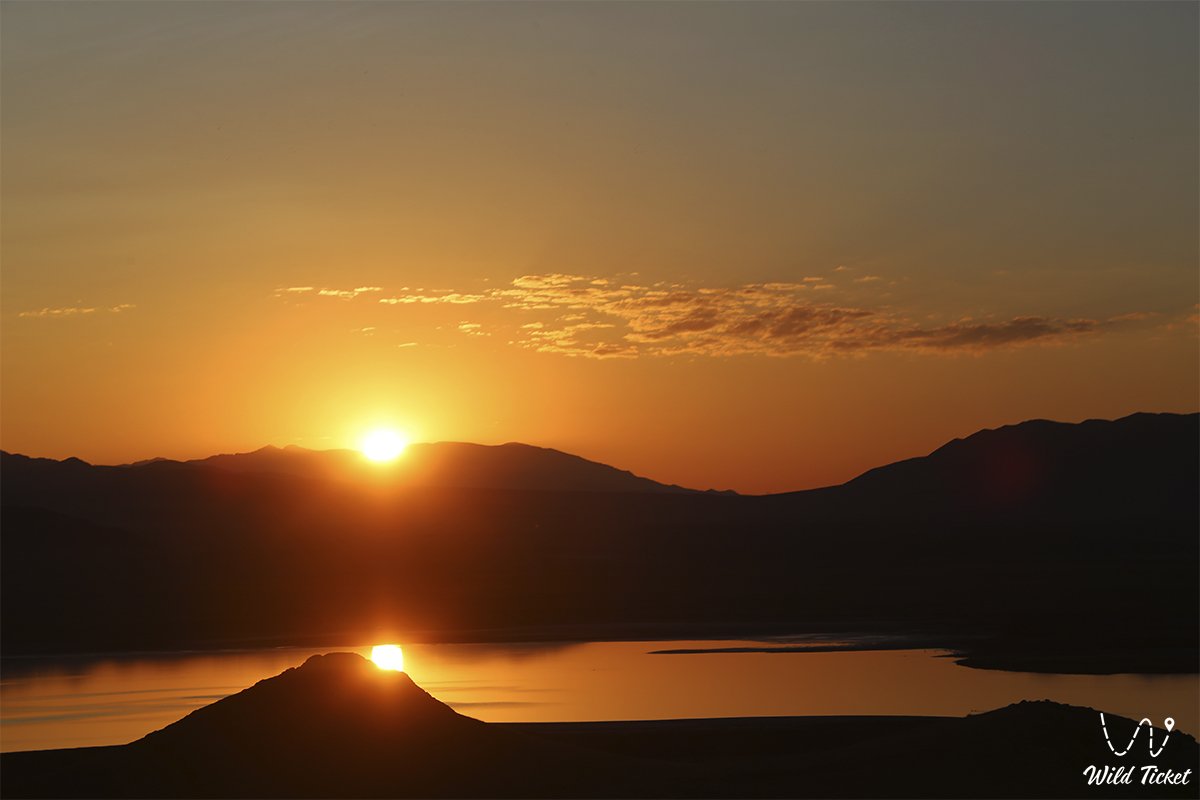
Information about Lake Tuzkol -
Detailed route to Tuzkol Lake: Almaty city – Chilik village – canyons of the Charyn River - Kegen village – Saryjaz village – Karasaz village - Tuzkol Lake (1959 meters above sea level) – Almaty city
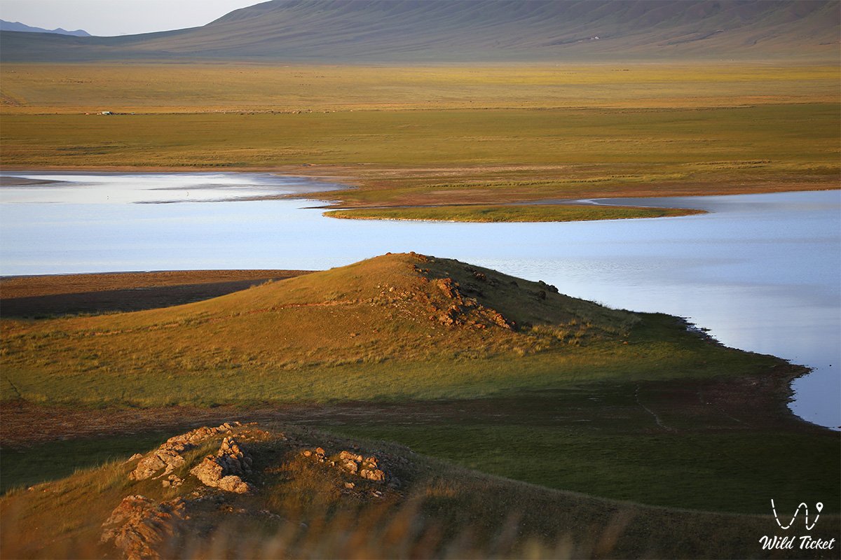
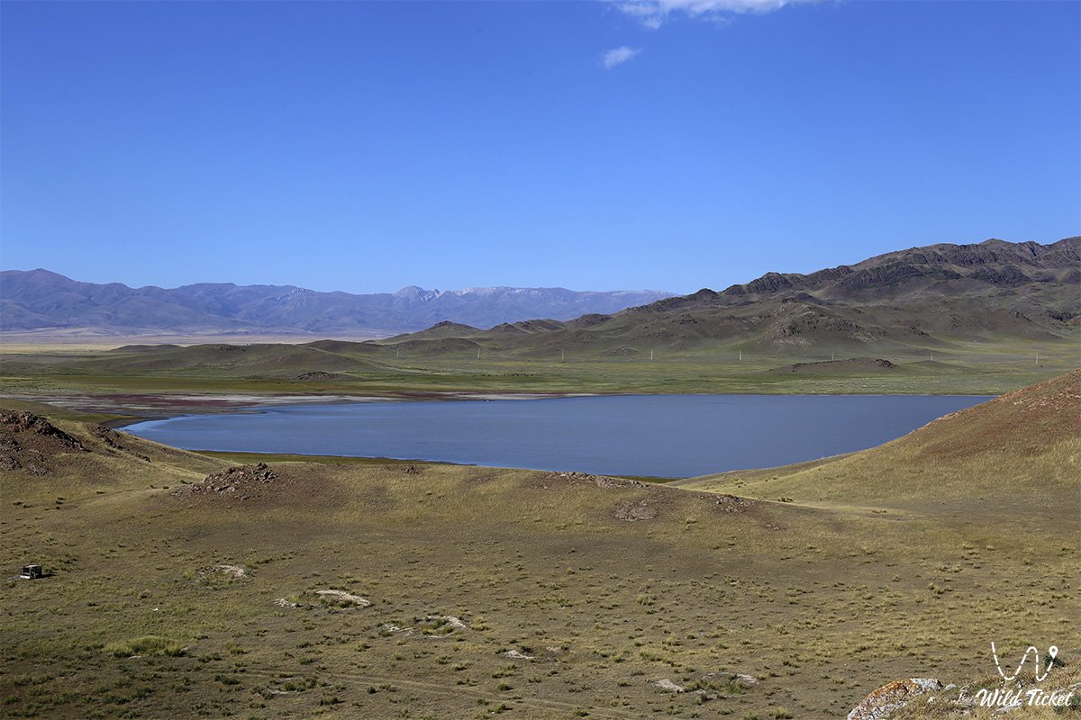
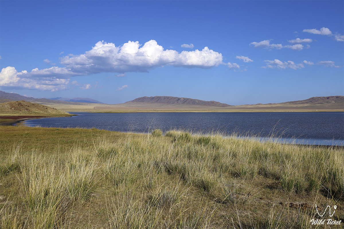
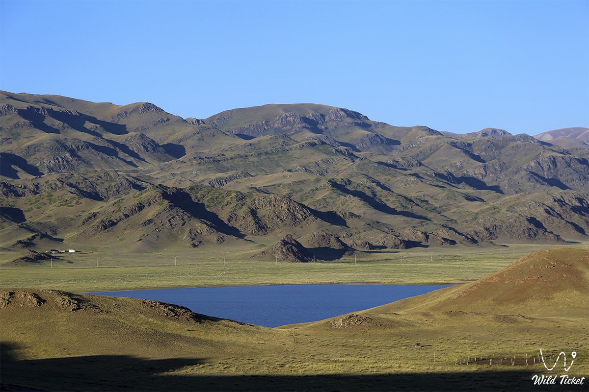
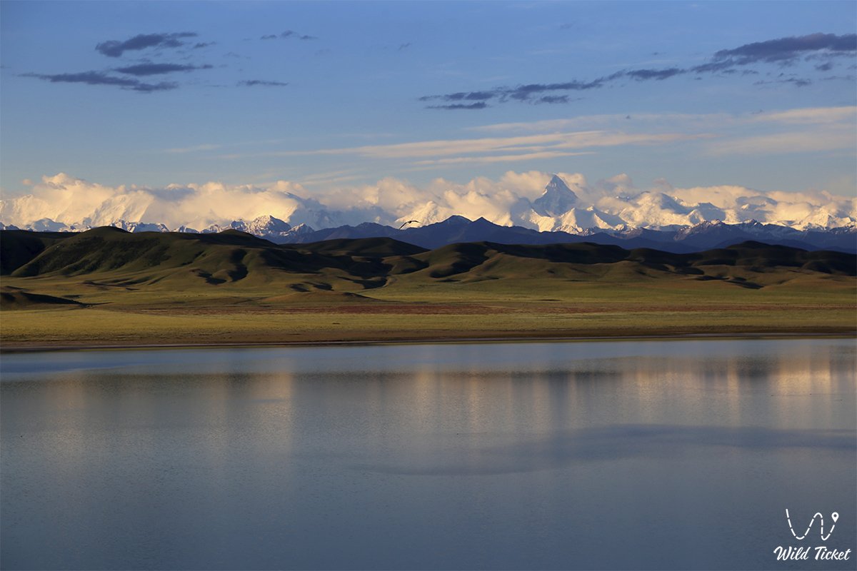
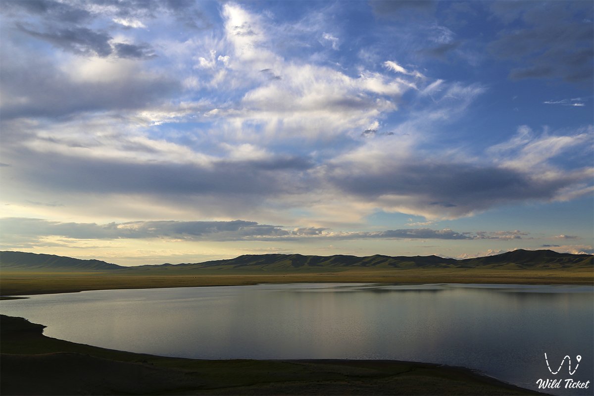
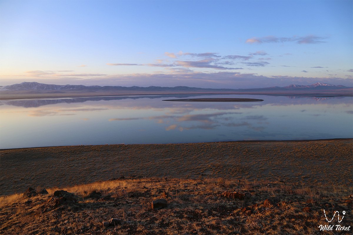
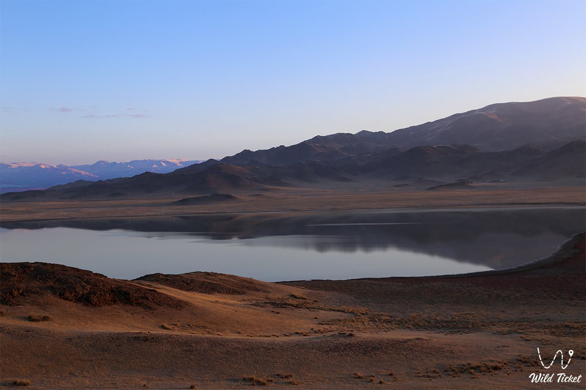
Tuzkol is a mountain lake, located in the Almaty region at an altitude of 1959 meters above sea level, Raimbesky district, the Charyn River flows nearby. The distance from the village of Kegen to Lake Tuzkol is 70 kilometers. We recommend going to Tuzkol for at least two days, as the road in one direction will take you half a day.
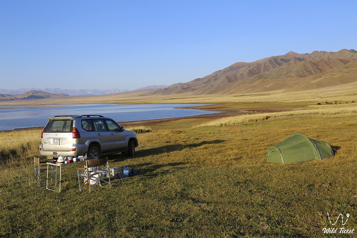
The distance from Almaty to Tuzkol Lake is 310 km. All the necessary equipment for the installation of the basic leger, and cooking must be brought with you since Lake Tuzkol is absolutely wild. There is no tourist infrastructure here.
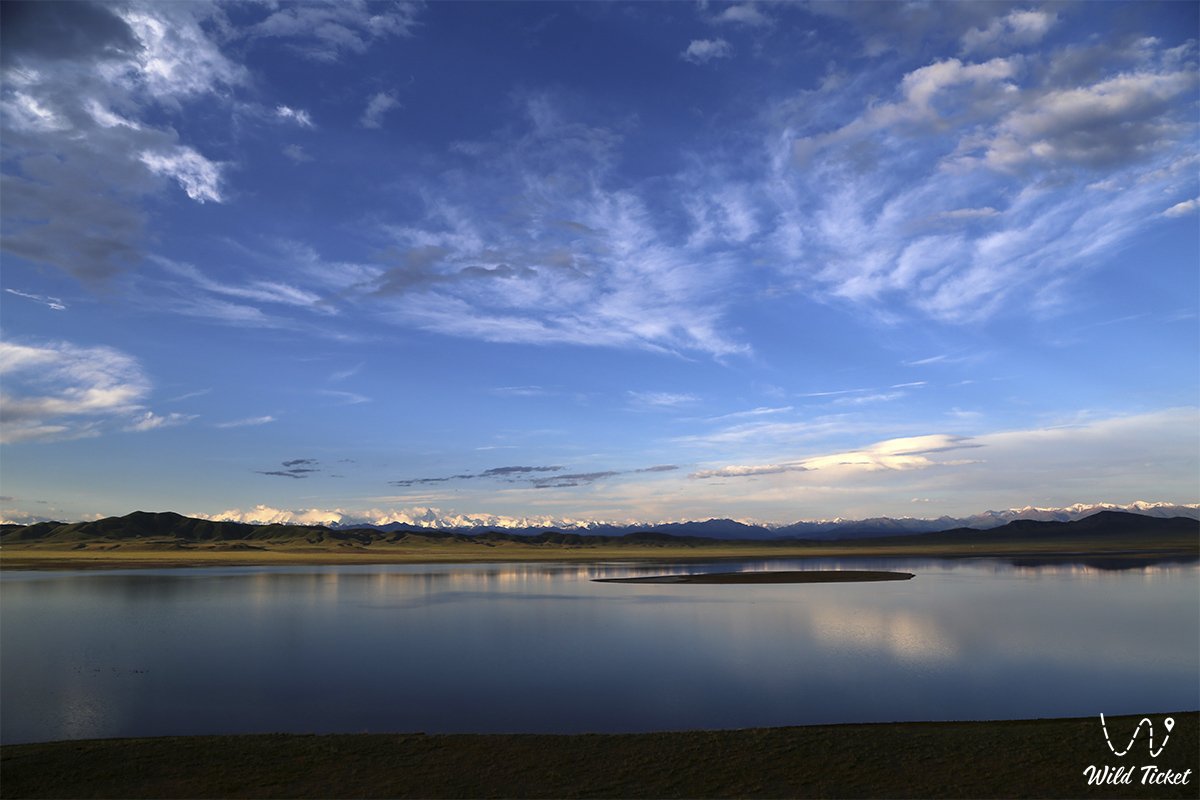
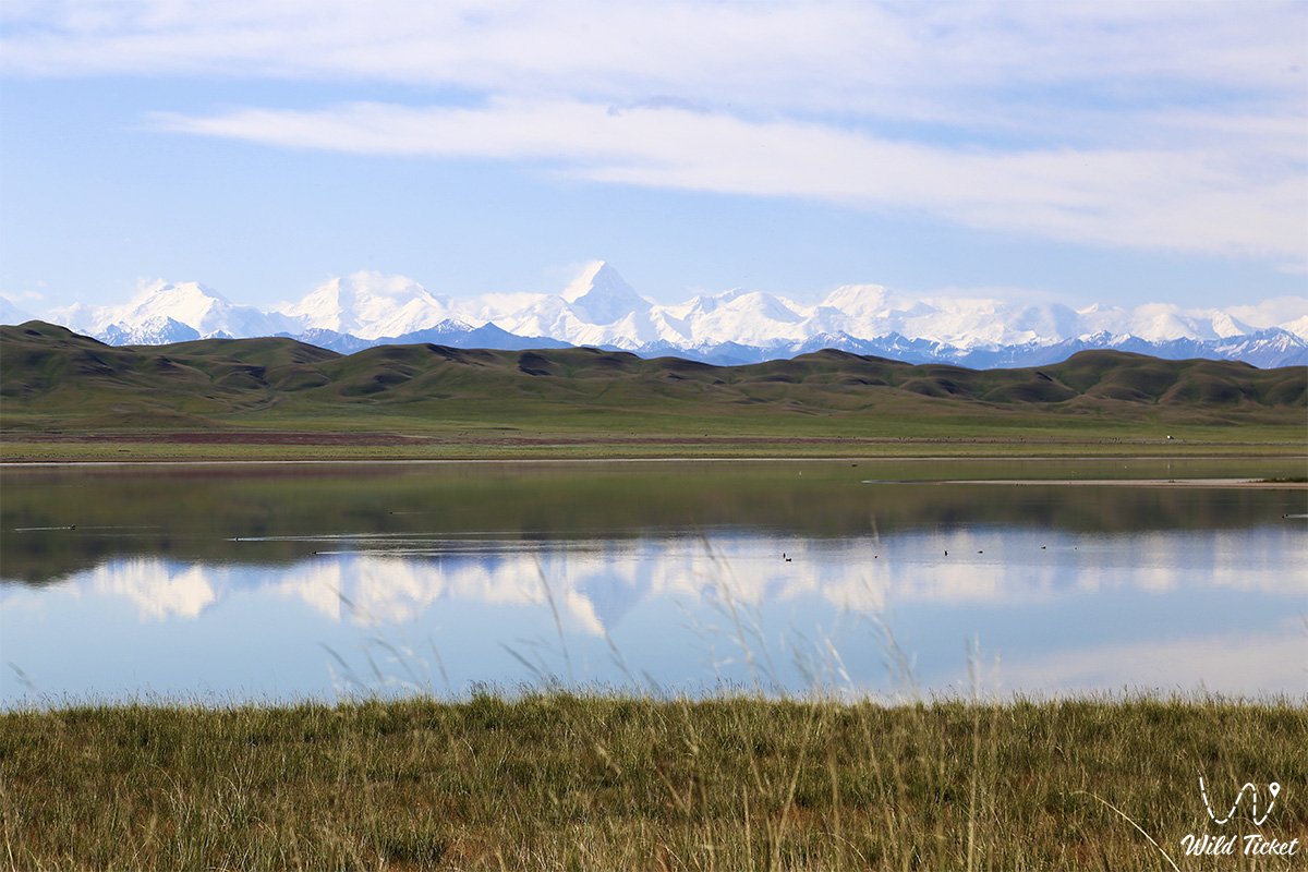
In clear weather, Khan-Tengri Peak can be seen from Tuzkol Lake, the height of which is 7010 meters above sea level, and Victory Peak (7439 m) can also be seen. Lake Tuzkol is fed by underground groundwater and water that enters the lake with the spring melting of snow.
The water in the lake is salty, fish are not found in the lake, if desired, you can swim in the lake, but since the water in the lake is salty, therefore, it is very difficult to wash off the salt from yourself, since there is no infrastructure on the lake and there are no sources with fresh water. The depth of the lake is 1 meter.
Tour itinerary:
Photogallery: