Тур из города Алматы на Капчагай -
Где покупаться и отдохнуть в Алмтаинской области -
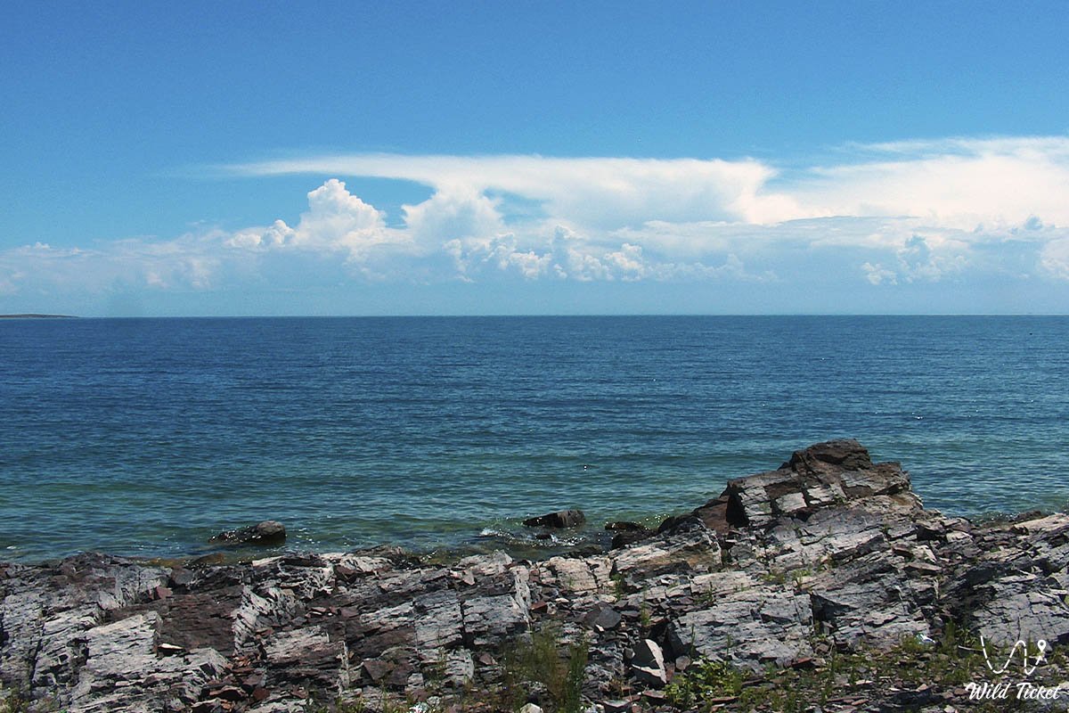
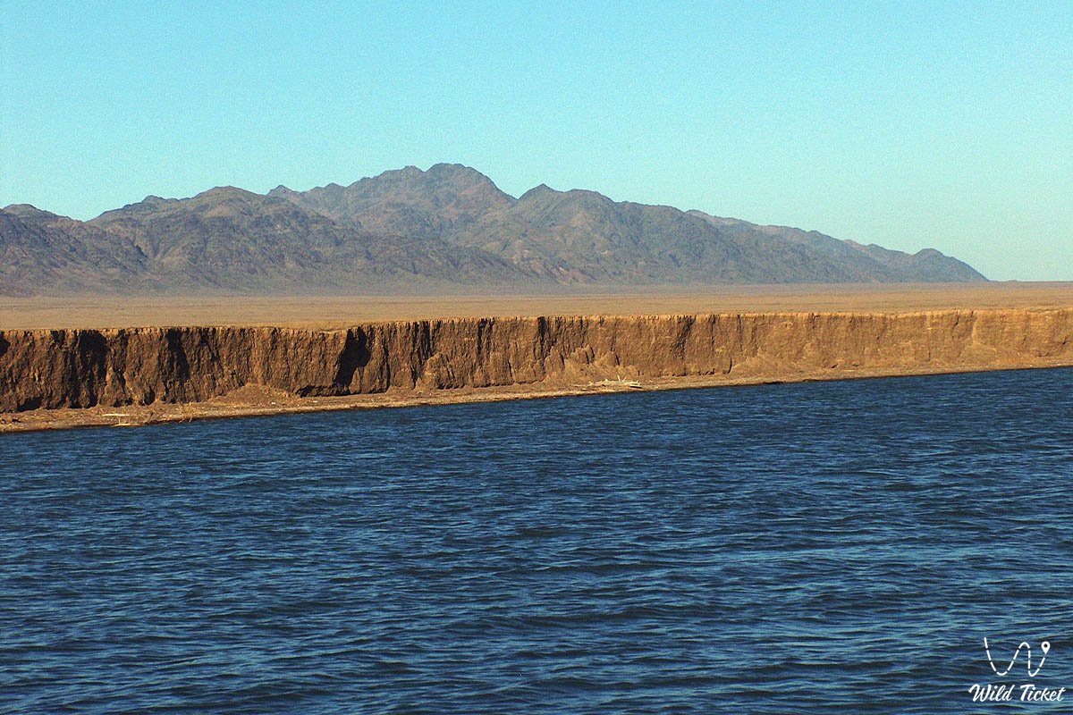
Капчагайское водохранилище – так же известно как озеро Капчагай, является одним из важнейших водоемов в Центральной Азии, крупным водным заповедником, местом отдыха и природной достопримечательностью. Водохранилище появилось после постройки на реке Или огромной ГЭС (плотины) в 1970 году. Строительство Капчагайской плотины было завершено в конце 1969 года, а медленное заполнение водохранилища началось в 1970 году и медленно наполнялось 20 лет. В проекте гидроэлектростанции также предполагалось, что озеро может стать обильным источником воды и ирригации для сельского хозяйства всего региона.
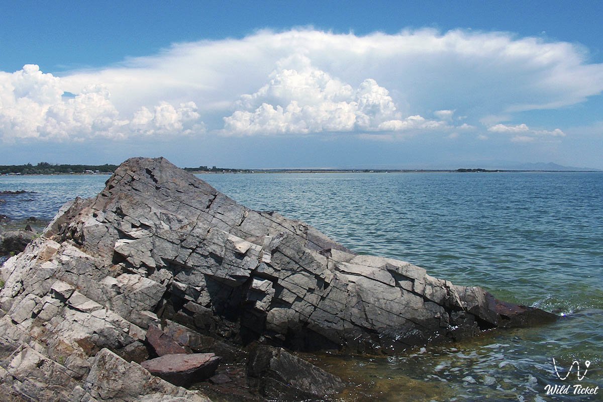
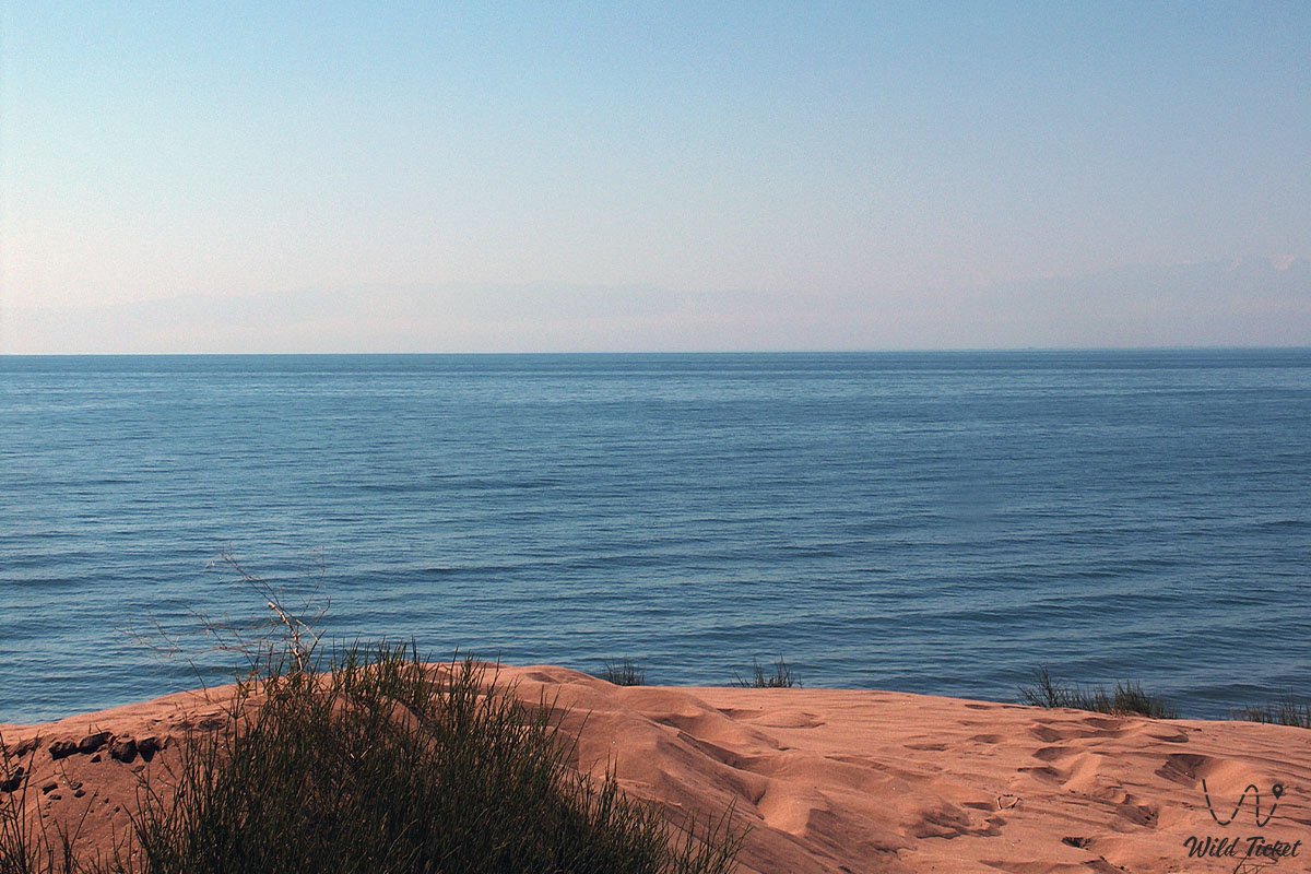
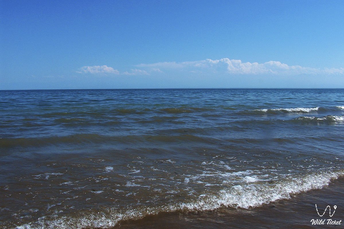
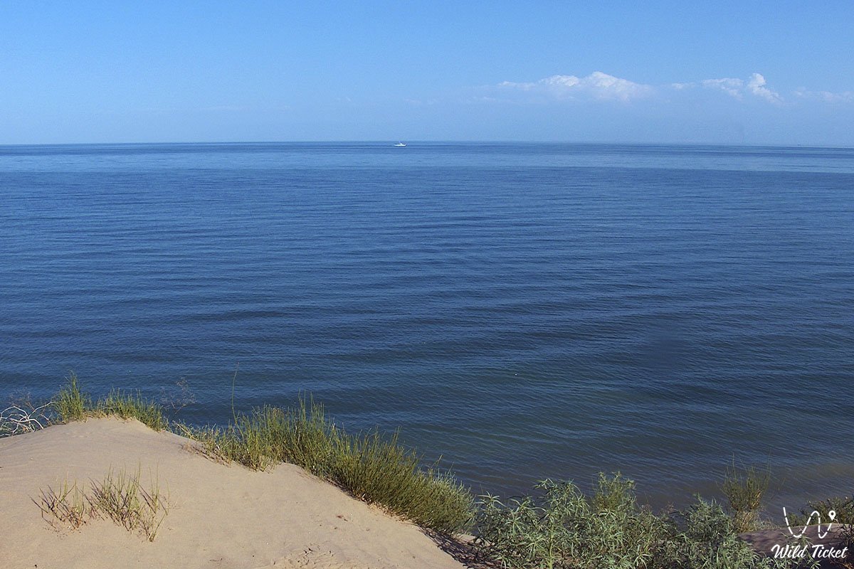
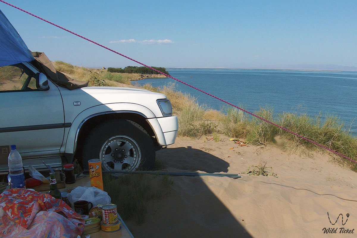
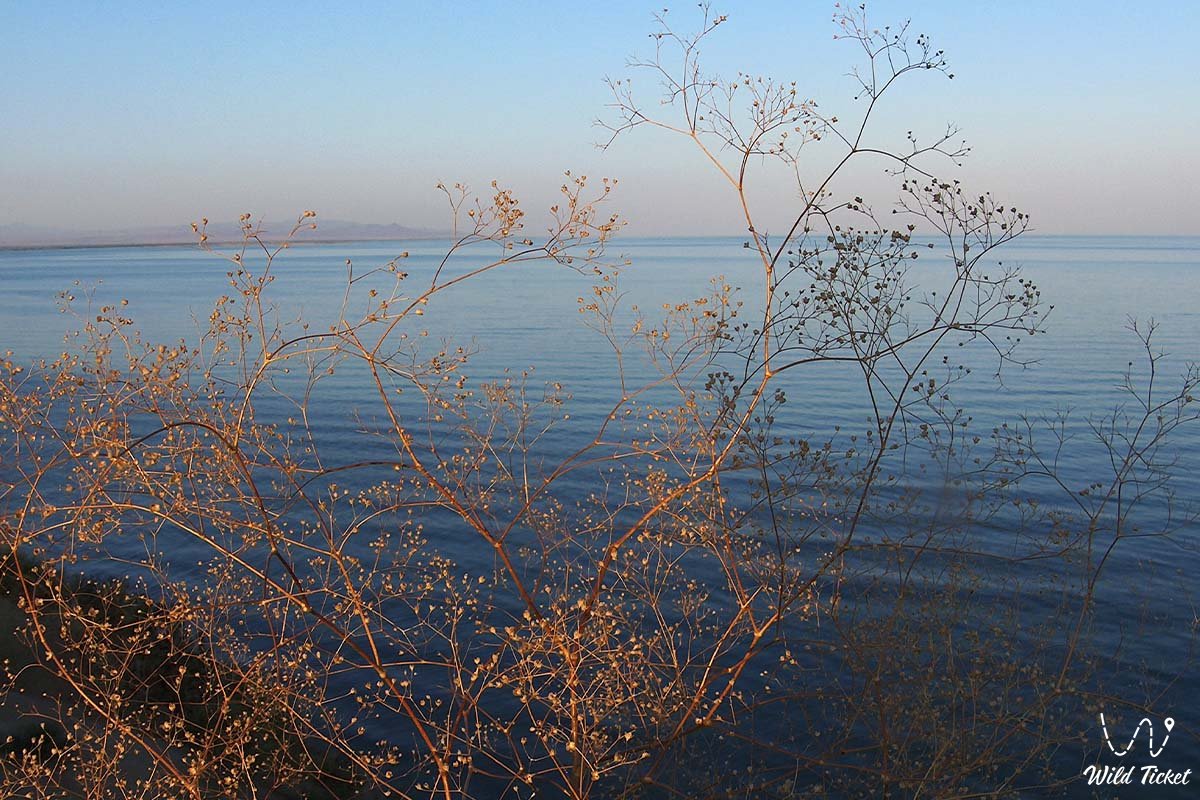
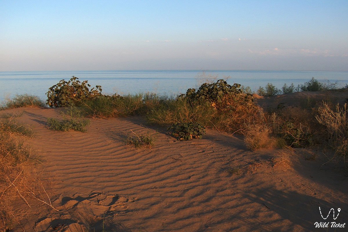
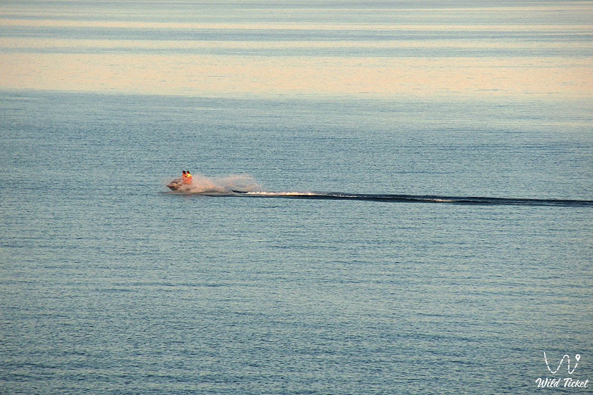
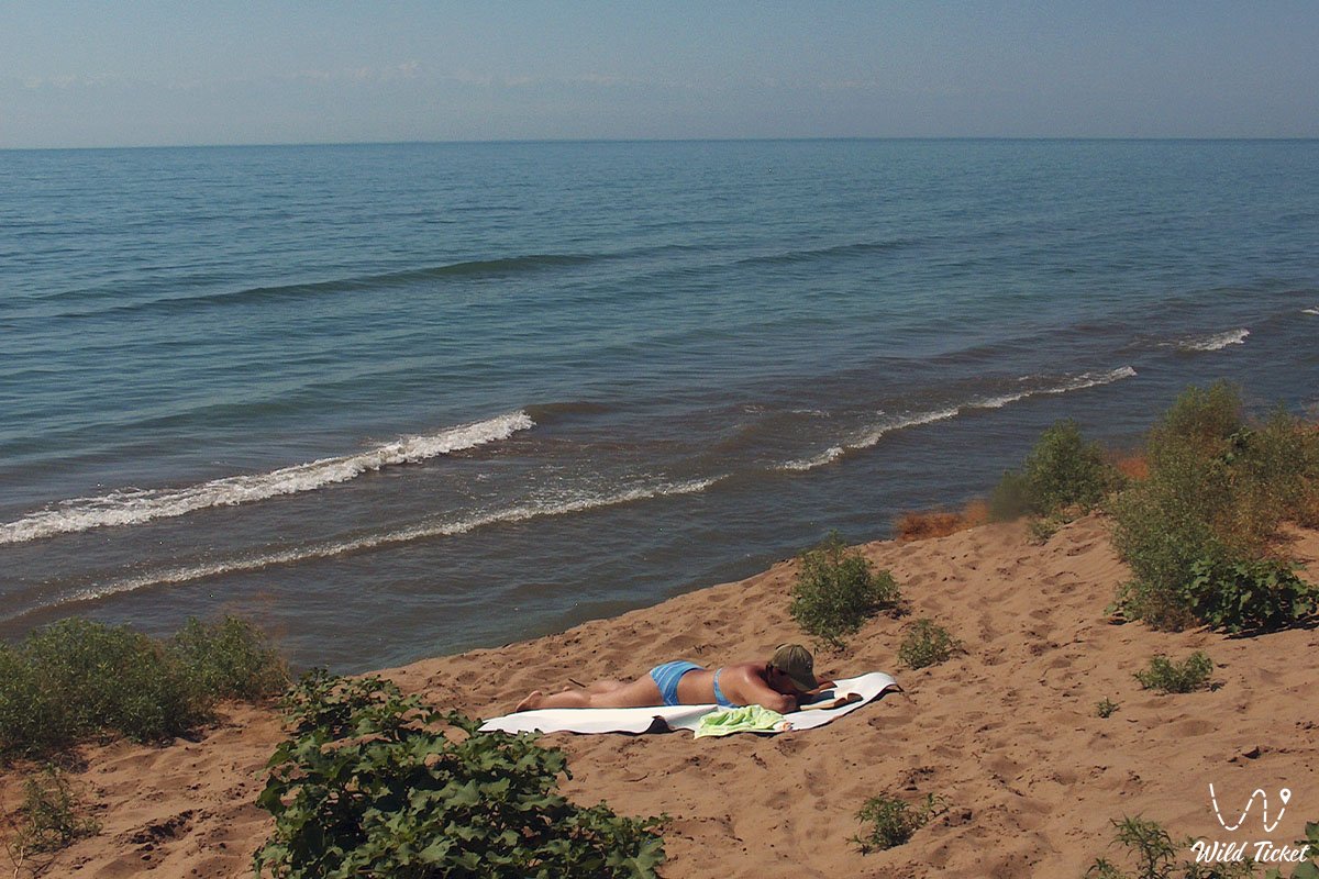
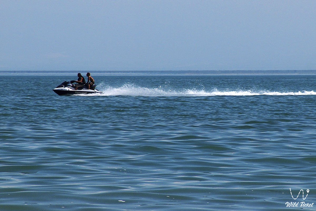
Летом на озере Капчагай (Капчагайско водохранилище) довольно много отдыхающих, здесь есть кафе, рестораны, базы отдыха и гостевые дома. На озере можно арендовать лодки для прогулки по озеру, можно арендовать квадроцикл или приехать со своим оборудованием. Многие отдыхающие приезжают со своими лодками и квадроциклами. На Капчагайском водохранилище можно заниматься рыбной ловлей, здесь водится такая рыба как: сазан, карась, лещ, судак, жерех, сом, змееголова, белый амур.
---------------------------------------------
Как добраться, посетить -
Капчагайское водохранилище находится в 60 километрах от города Алматы в Илийской долине, на реке Или, Кегенский район, Алматинская область, Республика Казахстан.
GPS координаты: 43°52′0″N 77°30′0″E
---------------------------------------------
Информация
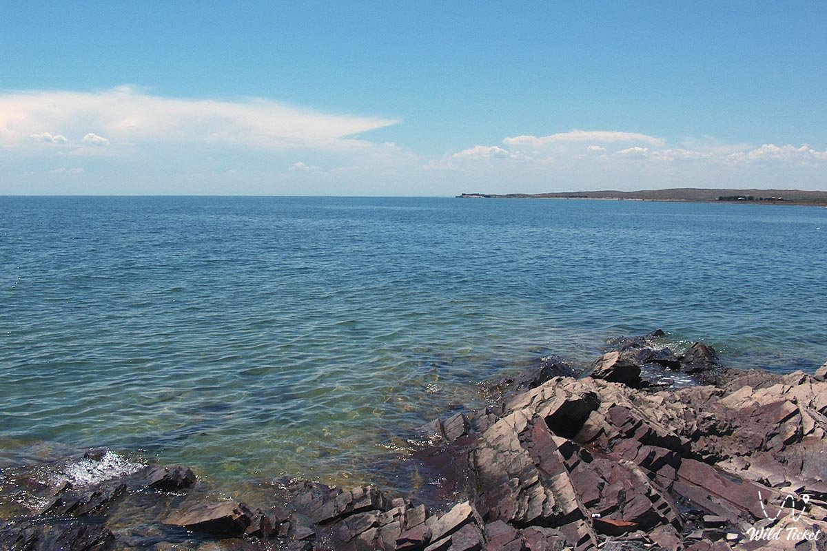
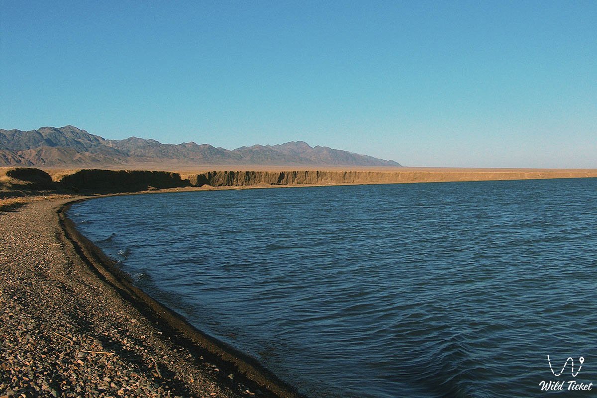
Площадь Капчагайского водохранилища составляет 1847 км2, длина 187 км, ширина 23 км, средняя глубина 15 м, самая глубокая точка 46 м. Длина побережья водохранилища 430 км. Северный берег плотины песчано-гравийный, в основном высокий и крутой, южный - низкий, пологий, песчано-суглинистый. В озере обитает 26 видов рыб, 16 видов имеют промысловое значение. Ежегодно вылавливается около 2 тысяч тонн рыбы.
С помощью плотины орошается более 450 тысяч гектаров земли. здесь выращивают рис и дыни. Кроме того, водой из водохранилища орошаются сенокосы и пастбища, так же вода используется предприятиями города Кунаев (Капчагай). Водохранилище оказало большое влияние на популяцию рыб, что способствовало развитию местной экономики. В 1975 году в водохранилище было зарегистрировано 24 вида рыб, но в 1980 году их число сократилось до 18, что оказало непосредственное влияние на отрасль. Однако между 1985 и 1991 годами, когда река Или достигла своего нынешнего уровня, популяция рыб в озере стабилизировалась и с 1980 года наблюдается заметный рост рыбной промышленности после ее краха в 1970 году.
Водохранилище также стало причиной повышения уровня грунтовых вод, что во многих местах сделало невозможным земледелие на землях, прилегающих к озеру.
Расписание:
Фотогалерея: