从阿拉木图到克孜勒奥尔达的旅行 -
克孜勒奥尔达州景点 -
克孜勒奥尔达州位于哈萨克斯坦南部,成立于1938年1月15日,行政中心为克孜勒奥尔达市。该州面积在共和国排名第三。其北部与卡拉干达州接壤,西北部毗邻阿克托别州,西南和南部与乌兹别克斯坦相连,东部则与突厥斯坦州相邻。该地区大部分领土位于图兰低地,海拔在50至200米之间。
---------------------------------------------
如何到达 -
克孜勒奥尔达州位于咸海以东,地处锡尔河下游和图兰低地。该州与哈萨克斯坦共和国的多个地区接壤。
GPS坐标:45°0'N 64°0'E
---------------------------------------------
信息
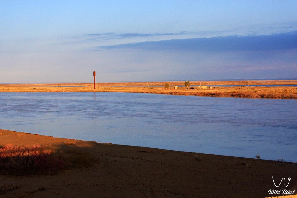
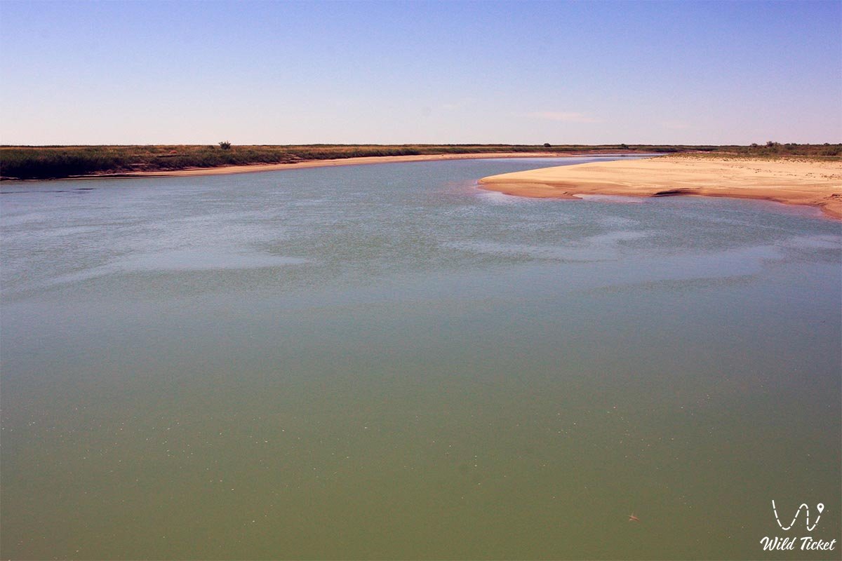
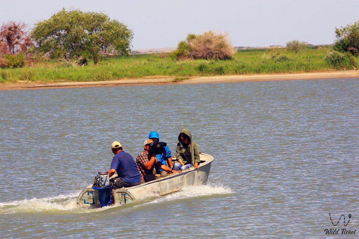
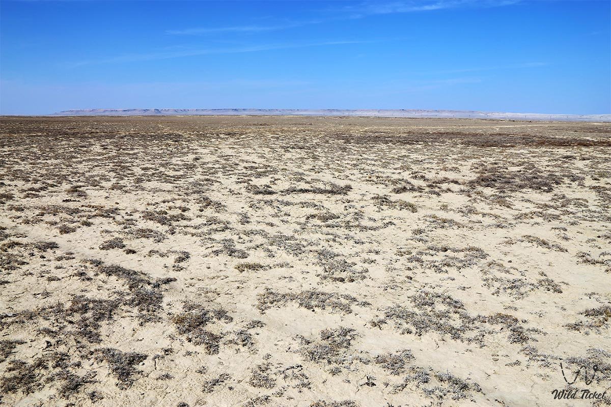
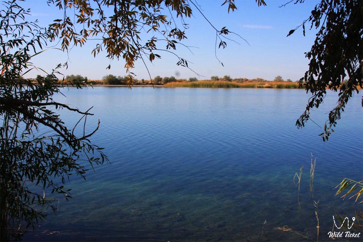
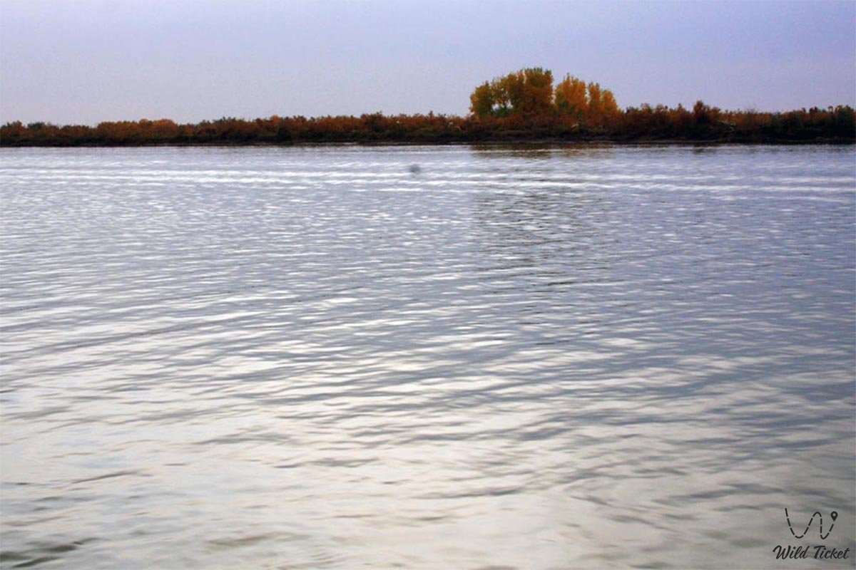
克孜勒奥尔达州大部分领土位于图兰低地,东部为卡拉套山脉,西北部濒临咸海,西南部则是克孜勒库姆沙漠。该地区的矿产资源尚未被完全开发,其有色金属矿藏在哈萨克斯坦排名第三。锡尔河约1000公里的下游河段穿过该州境内。1956年6月,锡尔河上的克孜勒奥尔达大坝投入使用。由于流入咸海的河水量减少,咸海被分为大咸海和北小咸海两个湖泊。该地区大部分面积被沙土覆盖。
历史
阿克梅希特始建于1820年浩罕汗国时期,是锡尔河沿岸的第一座城市。自1847年起,沙俄开始实施吞并该沿海地区的政策。1853年7月28日,奥伦堡总督佩罗夫斯基率俄军占领阿克梅希特。此后该市被称为佩罗夫斯克,并于1867年成为锡尔河县中心。随后,市内陆续开设了学校、砖厂、风车磨坊和铁匠铺。除清真寺外,教堂也开始在市内运转,穆斯林清真寺自70年代起相继出现。
1868年,佩罗夫斯克开设了县邮局;1905年奥伦堡-塔什干铁路通车后,建设了车站、火车站、机务段和仓库等物流设施。1917年10月30日,苏维埃政权在佩罗夫斯克建立。1922年,城市更名为阿克梅希特,同年第一家木工车间开业,砖厂得以恢复。
1925年4月15日,哈萨克自治共和国工人大会在该市举行,决定将城市命名为克孜勒奥尔达(意为“红色首都”),并定为共和国首都。当时全市人口为22577人。在随后的几年里,城市首次通电,并进行了大规模建设,新建了新型住房、教育机构和公共教育学院。
20世纪30至40年代,由于来自苏联其他地区的政治流放者、被驱逐的波兰人、德国人、韩国人以及从德占区疏散的人员、克里米亚和北高加索各民族迁入,该地区和城市的人口大幅增加。1938年1月15日,克孜勒奥尔达州正式成立,克孜勒奥尔达市被赋予州中心地位。
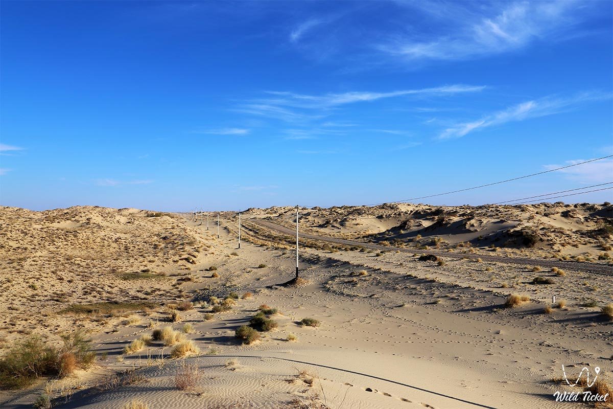
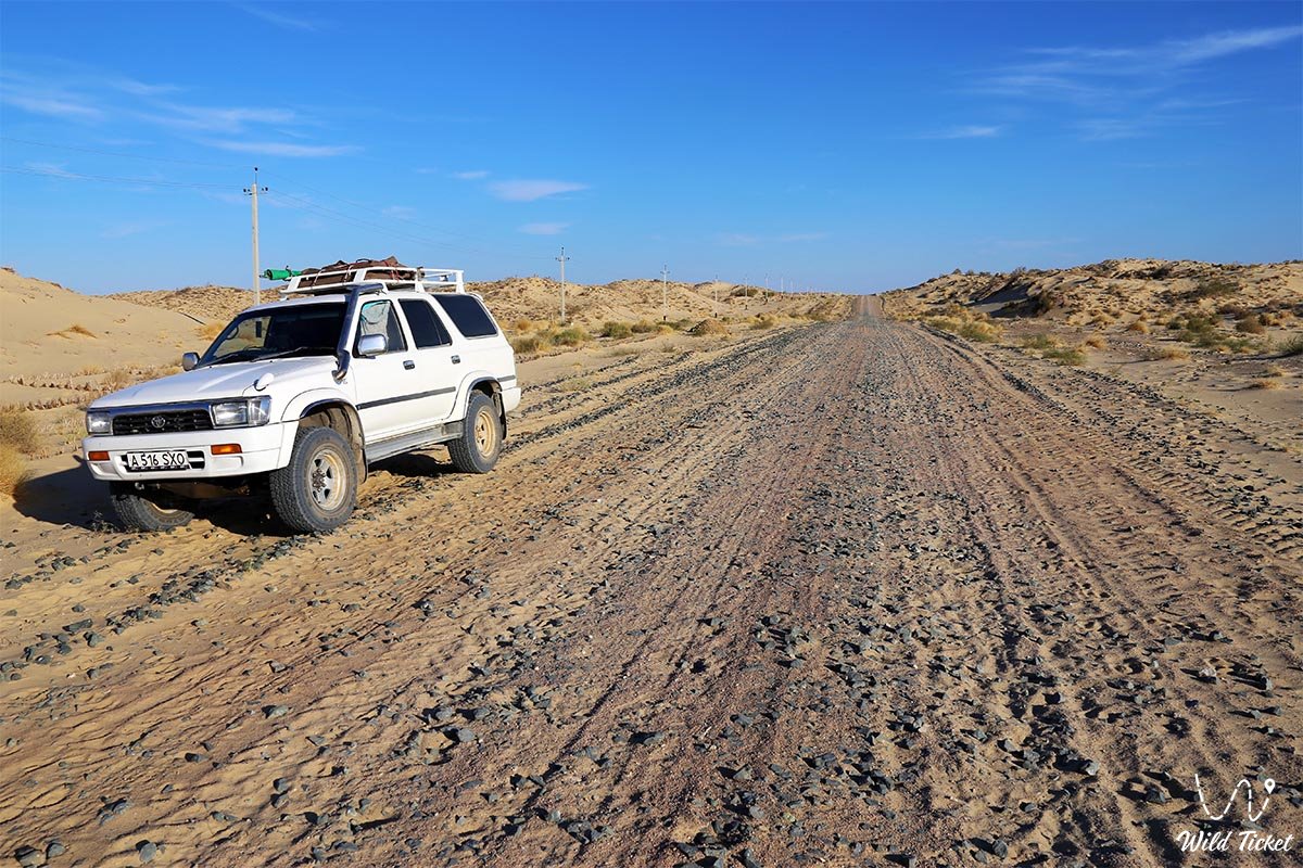
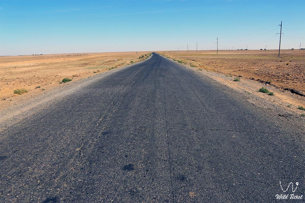
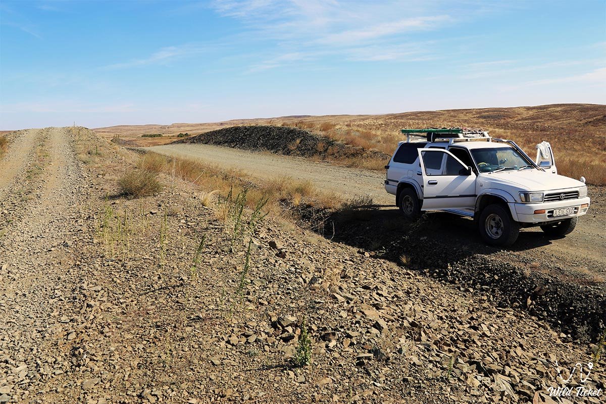
照片库: