卡顿卡拉盖住宿指南 -
从乌斯季卡缅诺戈尔斯克到卡顿卡拉盖之旅 -
卡顿卡拉盖村曾于1970年12月4日至1997年3月23日期间担任卡顿卡拉盖区的行政中心。1997年3月23日,在卡顿卡拉盖区与上区合并,并将大纳伦村设为新的区中心后,该村仍是当地的重要枢纽。卡顿卡拉盖坐落在萨雷姆萨克提山脉脚下的萨雷姆萨克河谷中。一条连接大纳伦村与拉赫马诺夫温泉疗养院的公路穿村而过。
---------------------------------------------
如何到达 -
卡顿卡拉盖是哈萨克斯坦东哈萨克斯坦州卡顿卡拉盖区的一个村庄,也是该农村行政区的中心。它位于大纳伦村以东77公里处,坐落在阿尔泰山的坡地上,与俄罗斯接壤。
---------------------------------------------
信息
在苏联统治时期,卡顿卡拉盖被称为阿列克谢耶夫斯卡亚村,1971年更名为卡顿卡拉盖。村庄目前拥有约5900名居民。这里的气候属于大陆性气候,1月平均气温为-11至-13℃,7月平均气温为+22至+24℃。年平均降水量为350-400毫米,主要集中在3至5月及11至12月。盛行风向为东北风(34%)和北风(16%)。稳定的积雪通常从11月下旬开始形成,并持续到次年3月中旬。
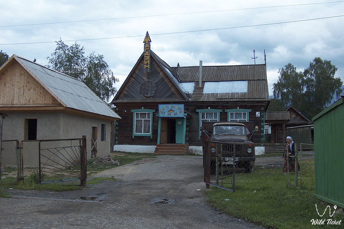
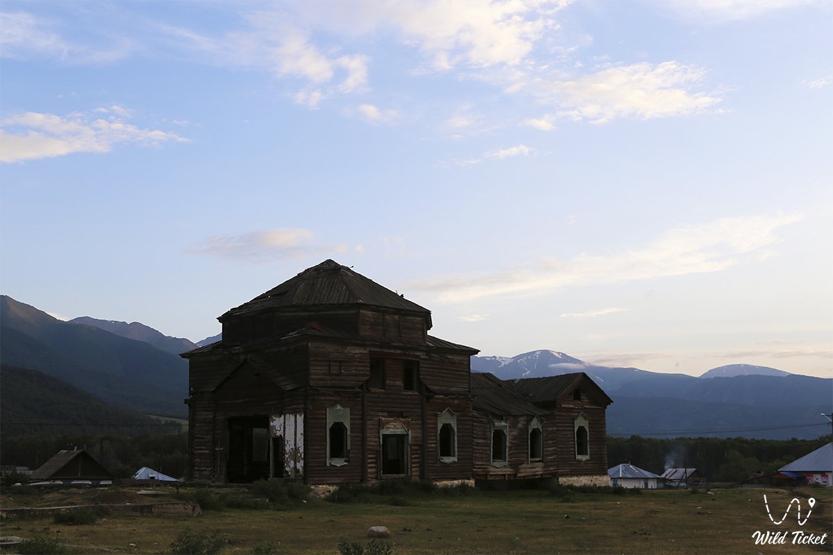
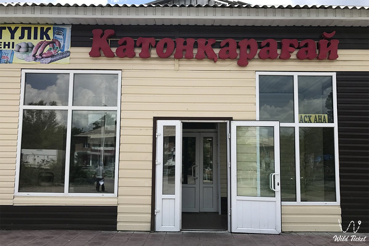
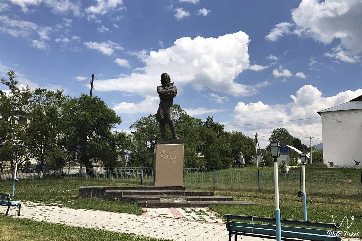
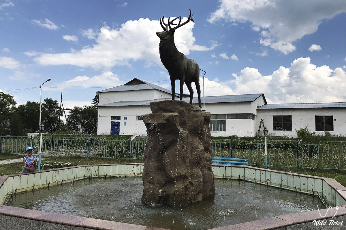
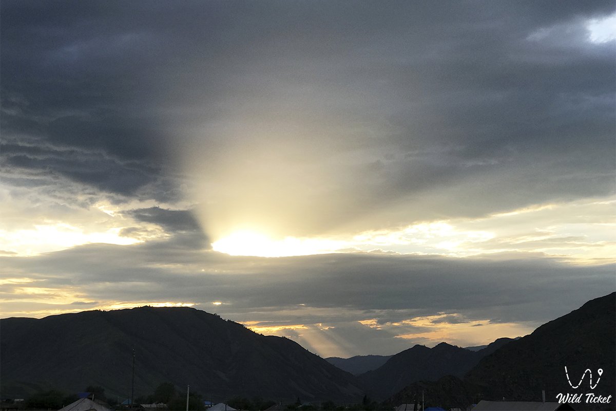
照片库: