Travel in the Zhylyoi district -
Attractions of the Zhylyoi district -
Zhylyoi district is located in the east of Atyrau region. The district was founded in 1928. The district center is the city of Kulsary. In the northeast it borders with Makat district, in the West with the territory of Atyrau city, in the east with Bayganinsky district of Aktobe region, in the south with Beine district of Mangystau region.
Tourism in the Zhylyoysky district
Zhylyoi district is very popular among travelers, the district attracts with its territory as it is located in several districts of Kazakhstan at once and covers a vast territory. Most of the district's lands are occupied by the eastern part of the Caspian lowland.
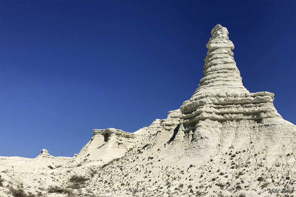
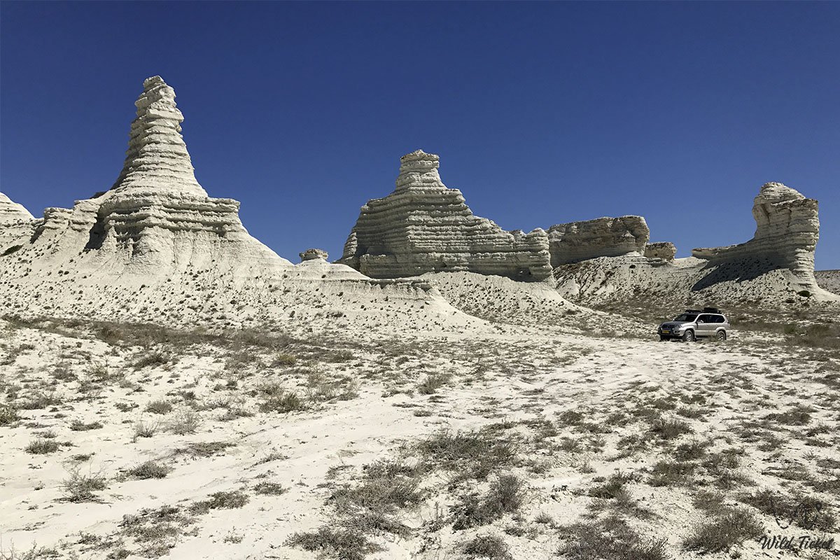
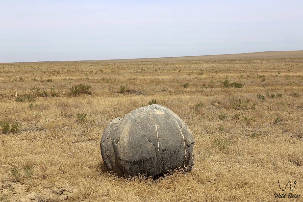
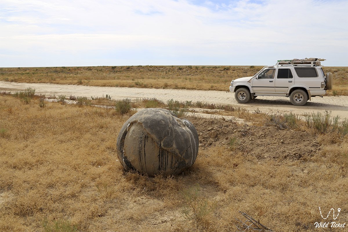
The famous Aktolagai is also located in this area. On the south side is the highest point of the district – Mount Zheltau (221 m). The surface of the Caspian Basin is flat and inclined to the sea. Its northern side is occupied by salt sores, the Southern side is occupied by Karakum sands. The height of the district's lands above sea level ranges from east to west from 221 meters above sea level and up to -26 meters below sea level.
---------------------------------------------
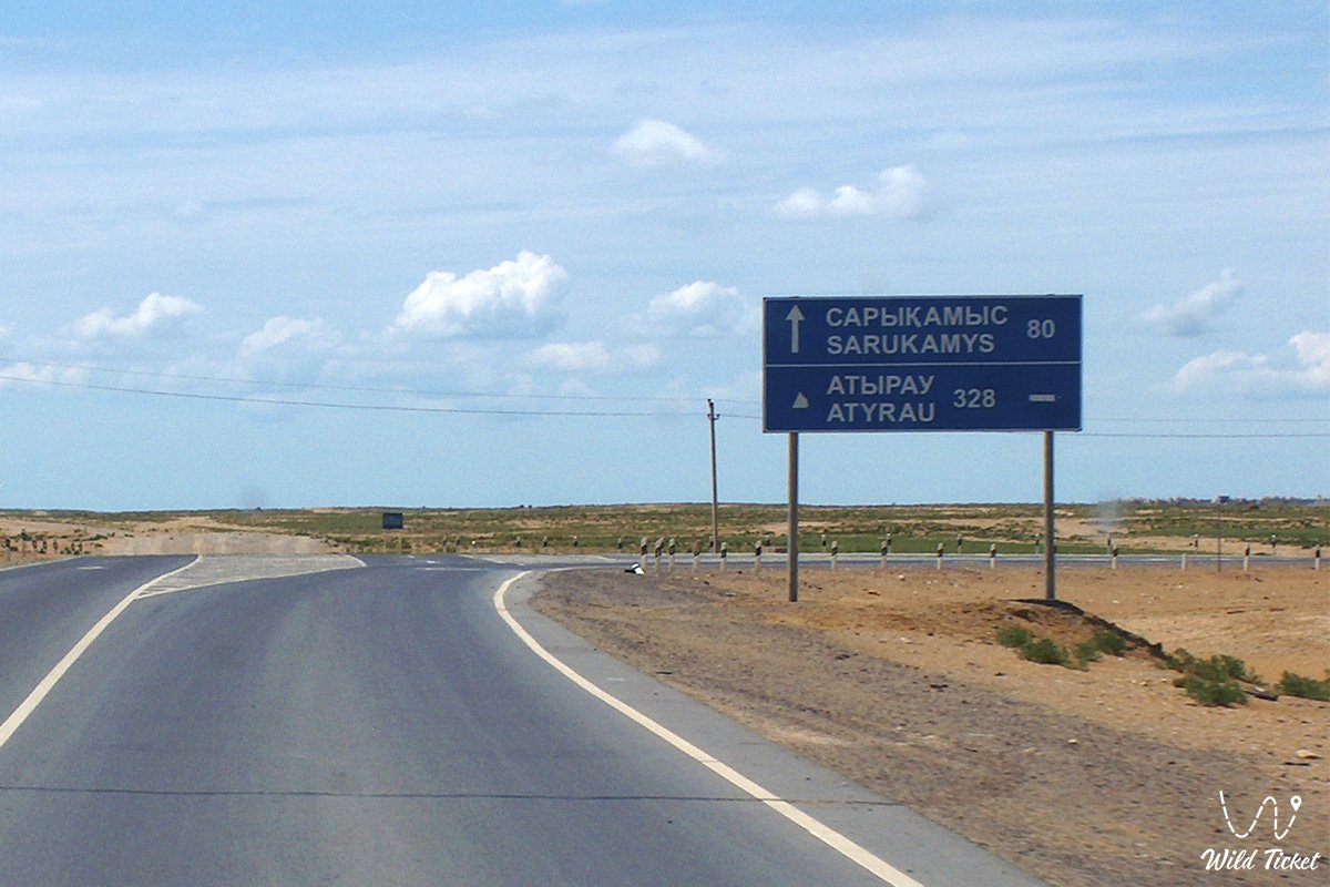
How to get there -
Zhylyoi district is located in Atyrau region in Kazakhstan, a district of the city of Kulsary. The district is located on the northeast coast of the Caspian Sea.
GPS coordinatest: 47°00'00"N 53°58'48"E
---------------------------------------------
History
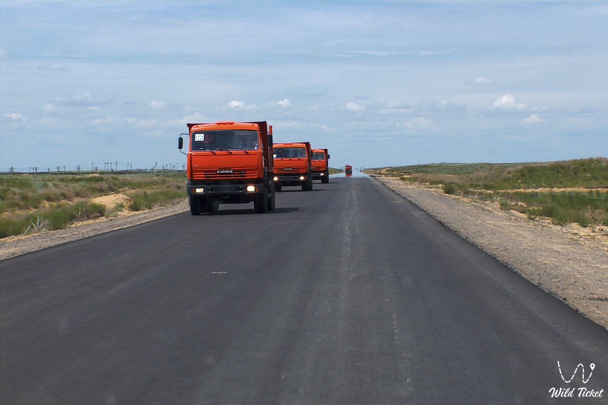
Zhylyoysky district was established on May 6, 1928 by the resolution of the Kazakh Central Executive Committee. On the current territory of the district, before the establishment of Soviet power, there were several regions facing Guryevsky Uyezd of the Ural province. In the 50-90s of the XX century, the economy of the district was developing rapidly. Oil production has increased dramatically. This was facilitated by the discovery of the oil fields of Munaily (1948), Karaton (1949), Kakimbet (1955), Terenozek (1956), Toles (1958), Tazhigali (1960), Prorva (1962), Karaarna (1974).
Climate
The climate of the area is continental, with somewhat warm winters and hot summers. The average air temperature in January is -8.8 °C, in July -25.8 °C. The average annual precipitation ranges from 140 – 150 mm. A feature of the relief is its lowland, plain. The height of the earth's surface is inclined to the sea.
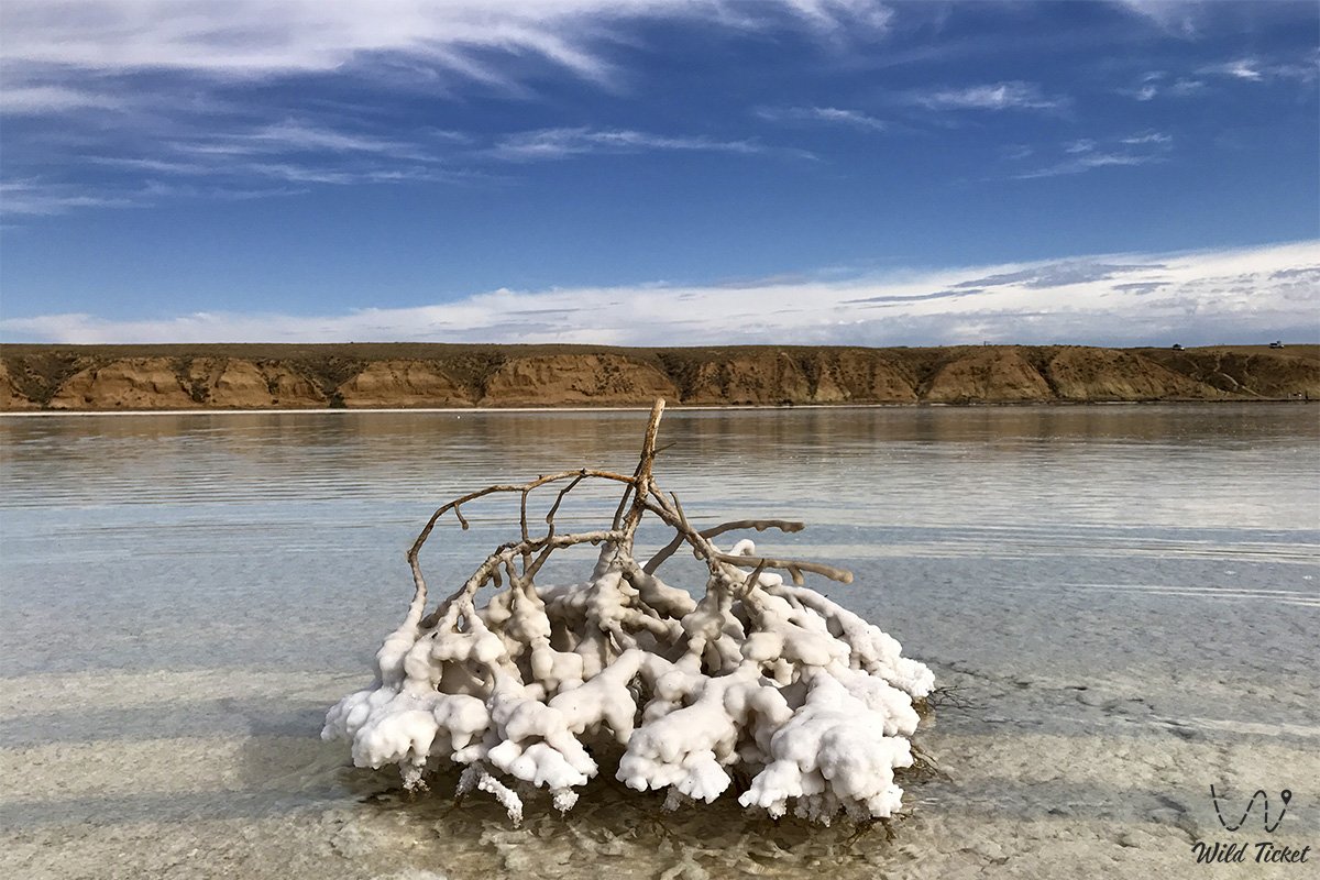
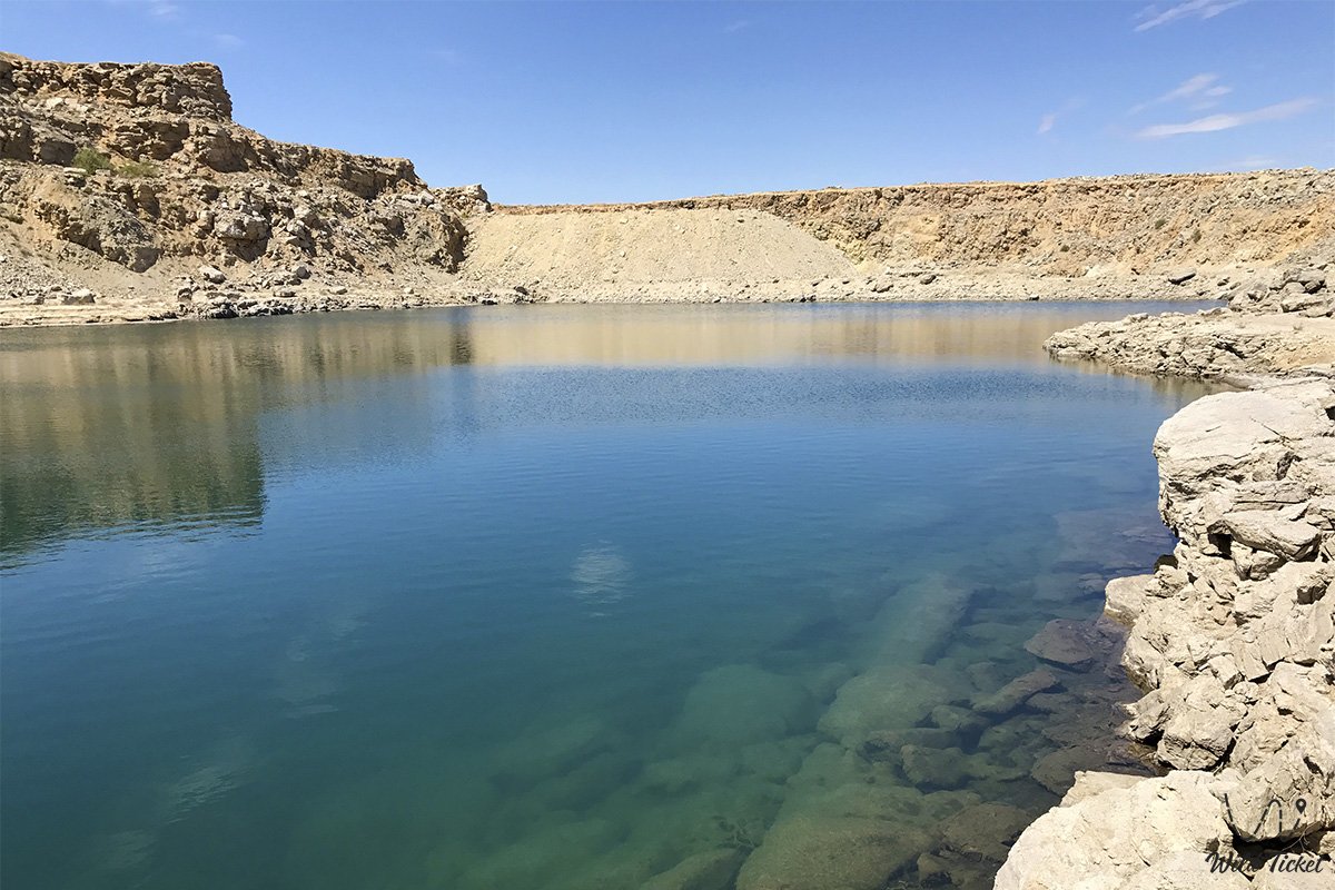
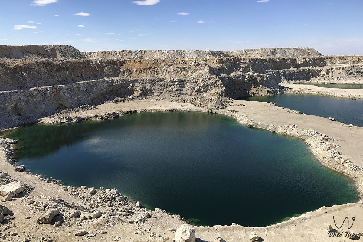
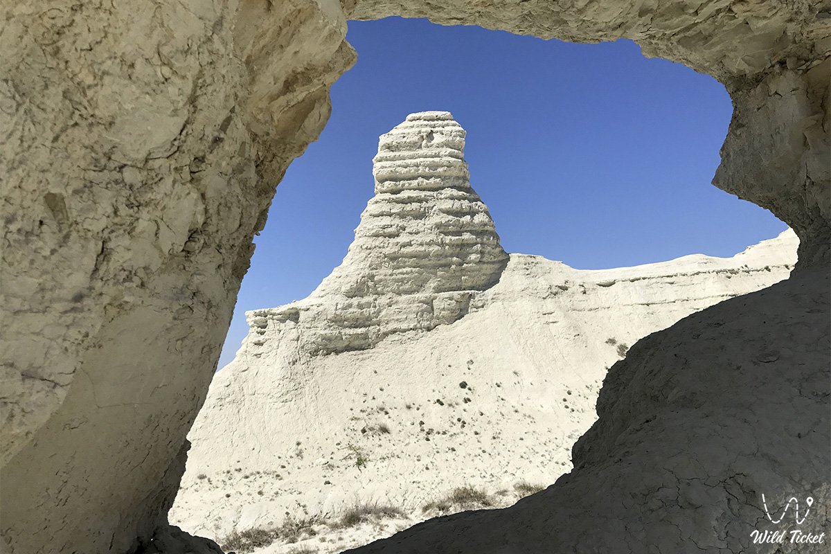
Photogallery: