Natural attractions of Kostanay region -
Excursions and tours in Kostanay region -
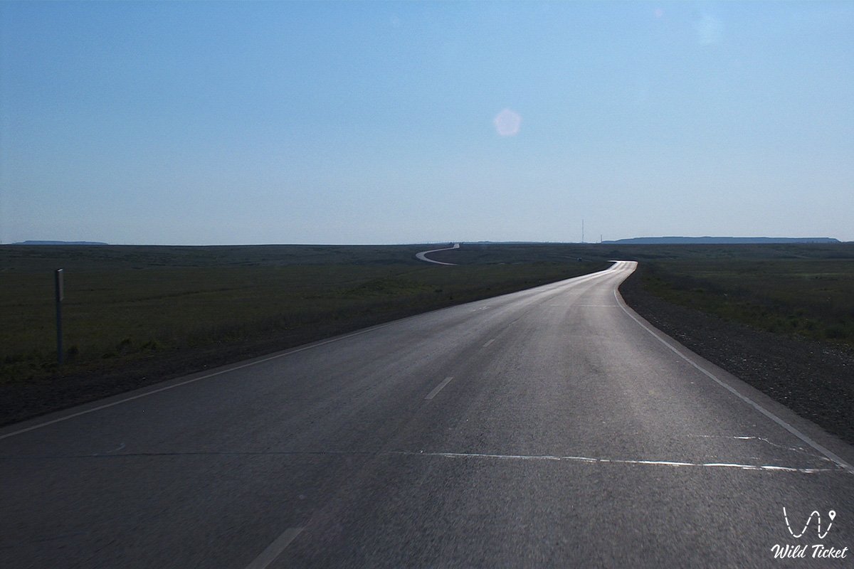
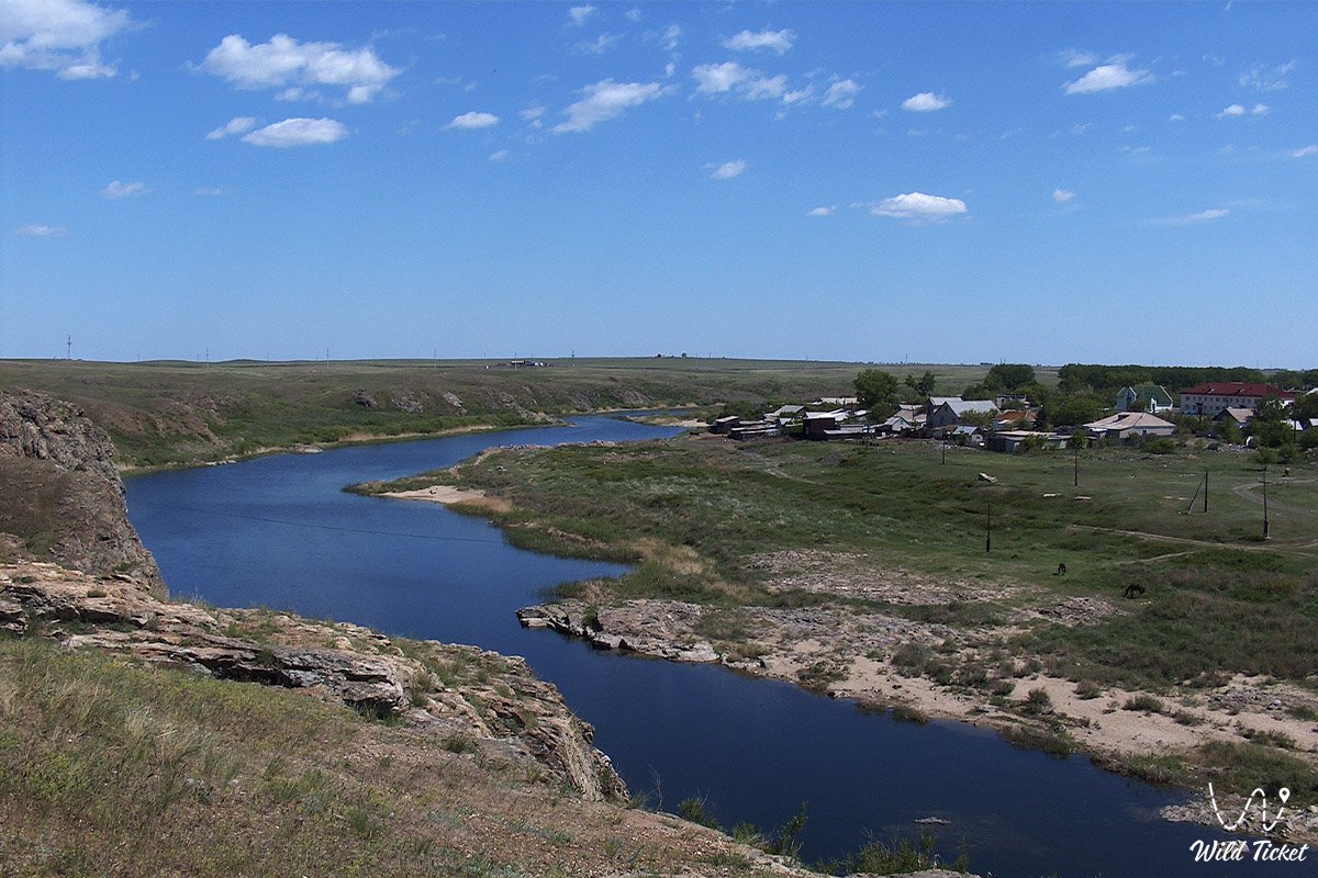
Turgay Valley (Turgay lowland) is a beautiful valley that stretches for 800 km from south to north. In the north of the Turgai Valley are the Turgai Gate, a natural valley gate that connects the West Siberian Plain and the Turan Lowland. In its place in the Paleogene period there was a strait 20-25 km wide, where Turgai and Siberia were connected by the middle course of the Turgai River.
---------------------------------------------
How to get there -
Turgai Valley is located in Kostanay region in Kazakhstan, between the mountains Mugalzhar and Saryarka.
GPS coordinates: 52°40'N 64°45'E
---------------------------------------------
Information for tourists
Turgay valley is a huge territory, it is mainly a plateau, in places there are low mountains and hills, the area is very remarkable and wild. Turgai Valley is famous for the fact that its part is located in the picturesque part of Kazakhstan, the famous Sarykopa Lake is also located here. In the northern direction, the Ubagan River flows through the territory of the Torgai lowland, in the southern direction - the Torgai River. There are such lakes as Kushmurun, Aksuat, Sarykopa.
In spring, the lakes are filled with thawed snow waters. The climate is too continental, from north to south it becomes more and more continental. The annual rainfall is 300 mm in the north and 200 mm in the south. The average annual temperature in July is 20 – 22 ° C, in January - 16-17 ° C. The northern part of the valley is part of the steppe belt, the southern part is part of the semi-desert belt. The Turgai Valley land is used for hayfields, pastures for livestock.
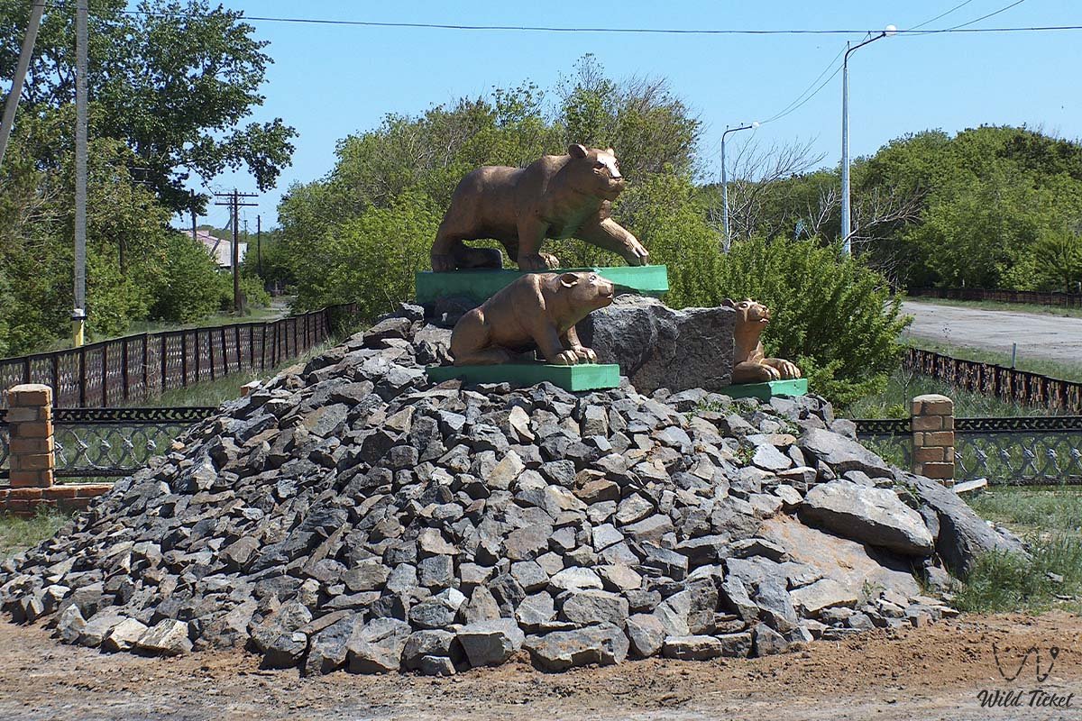
Photogallery: