Monuments of Jetisu region -
Jeep tour to Uygentas mound -
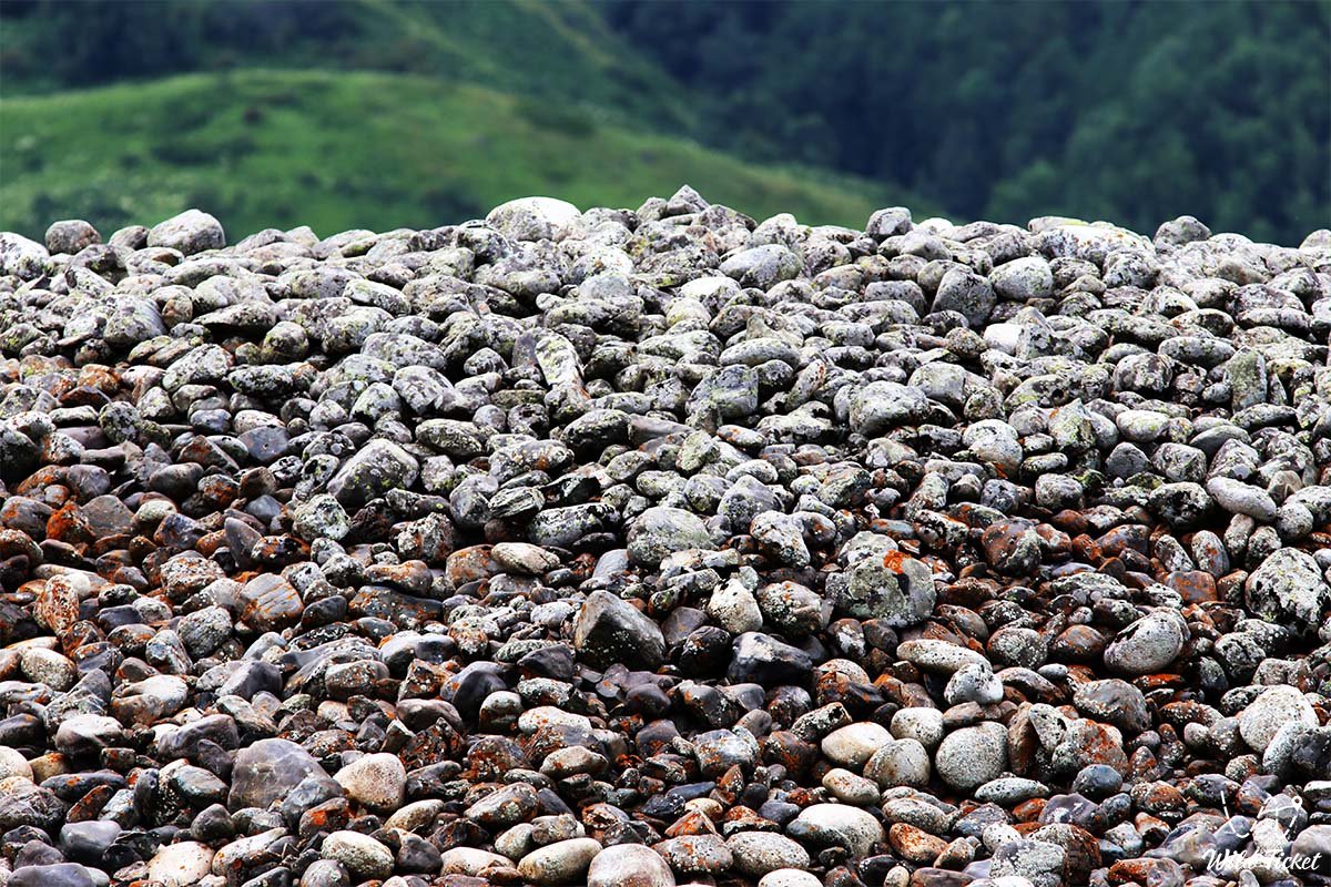
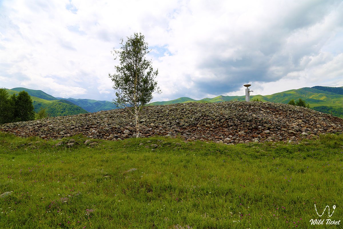
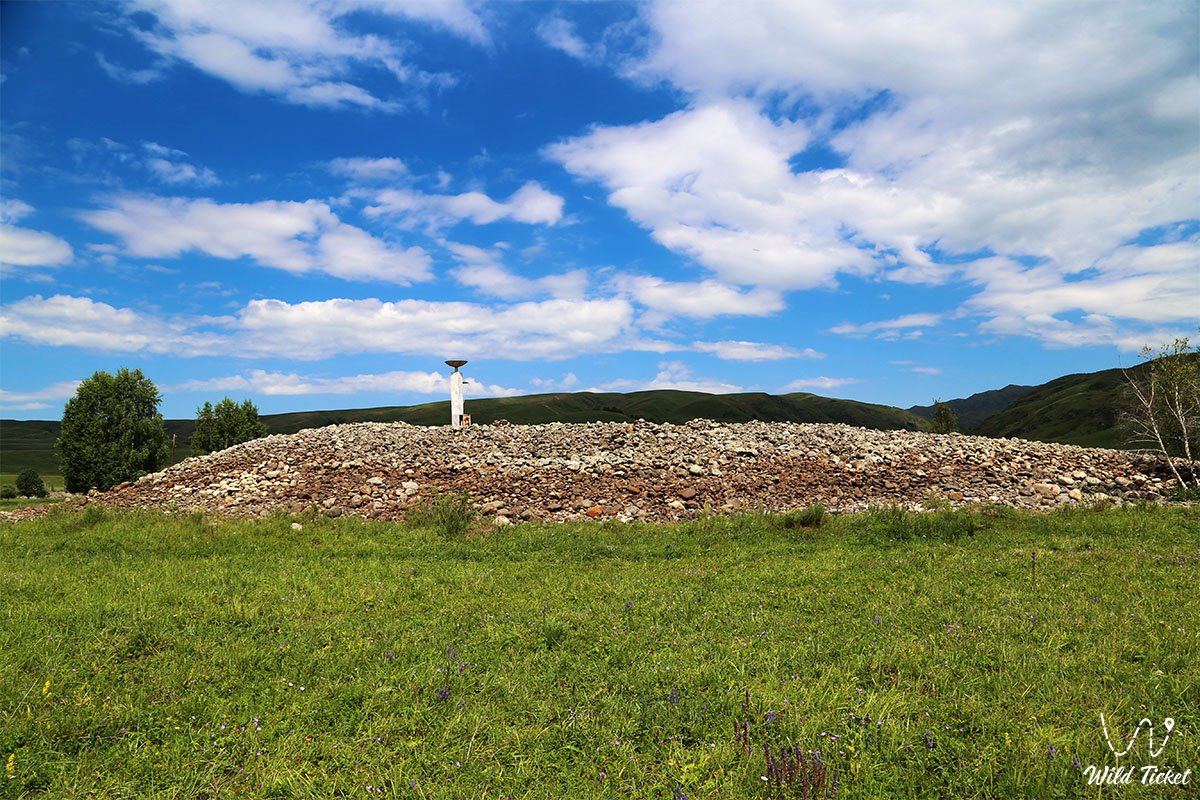
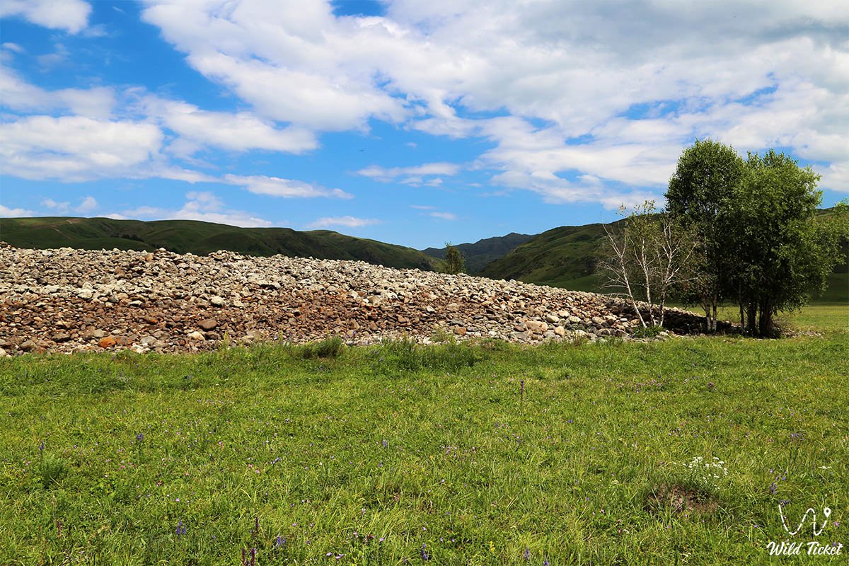
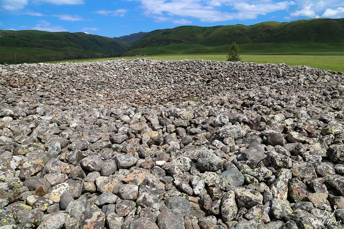
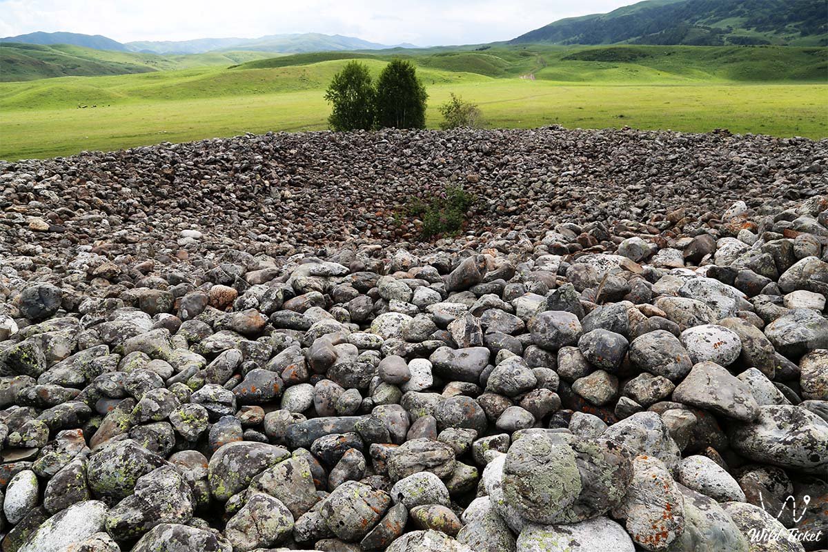
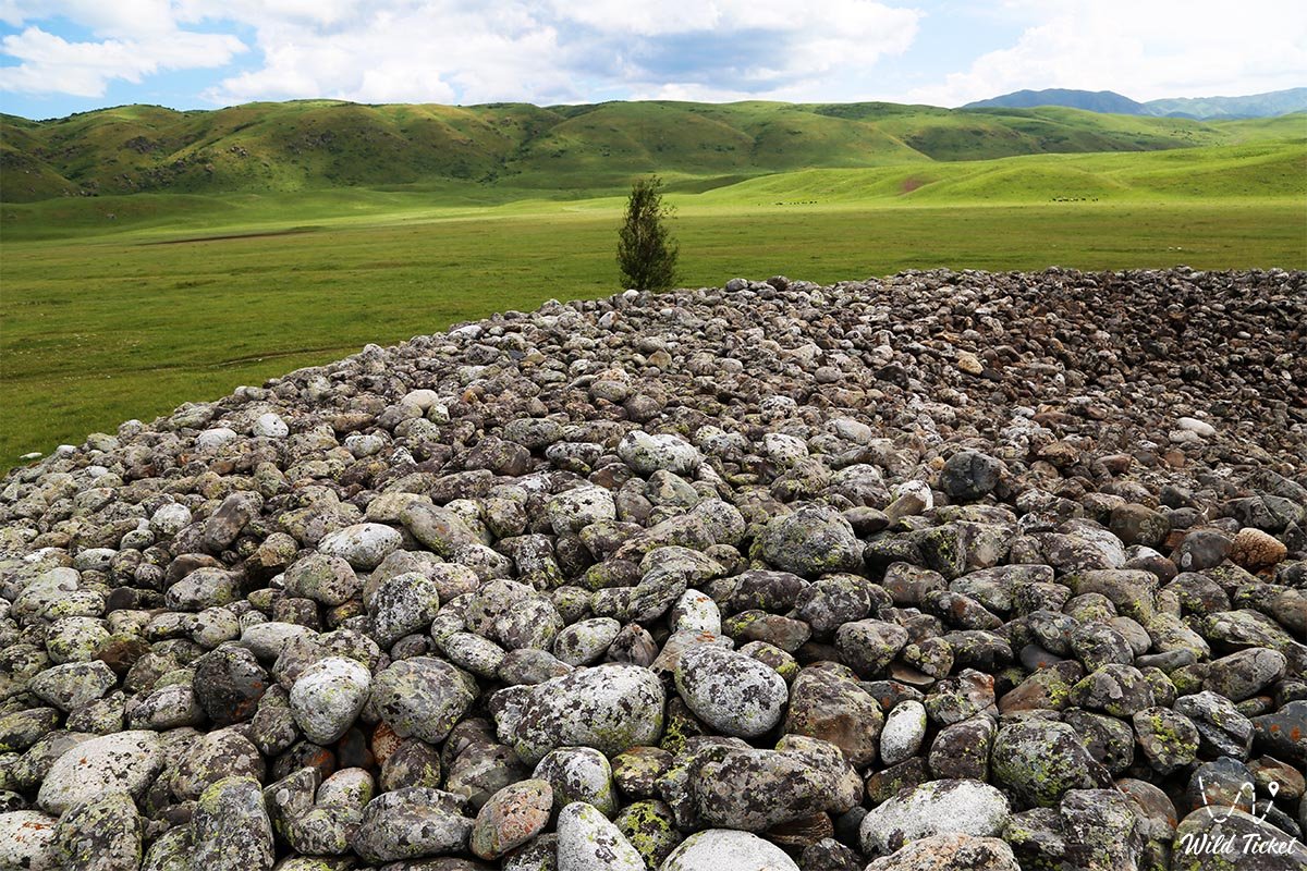
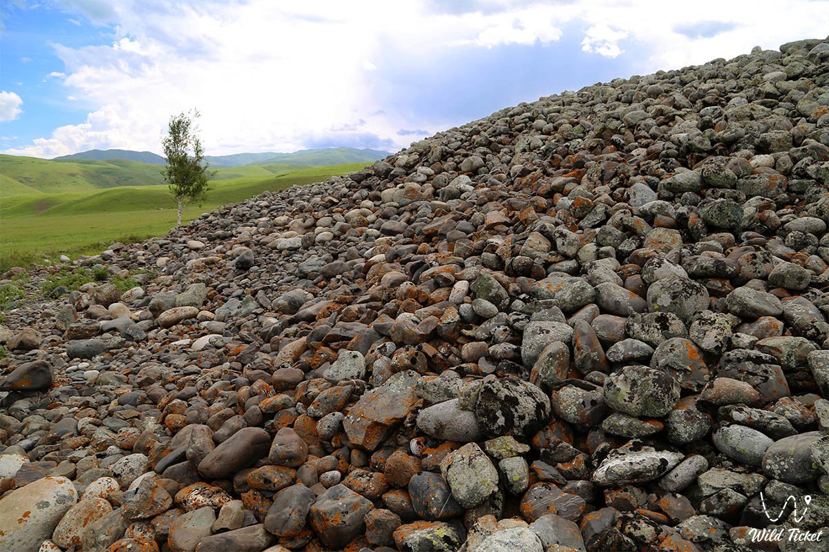
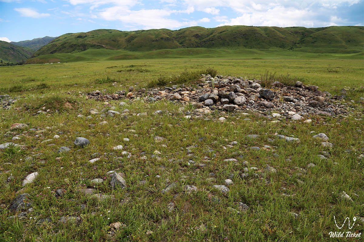
Uygentas is a stone mound, lined with small oval stones, located in the Jetisu region, the mound is surrounded by low beautiful mountains, the Tentek River flows nearby. The whole complex includes 150 burial mounds, the complex dates back to the 1st millennium BC - the 1st millennium AD.
The mound is surrounded by a picturesque valley-tract, which is also called Uygentas. The central part of the mound has a round depression, which indicates that the mound in ancient times was subject to robbery and analysis of its central part.
---------------------------------------------
How to get there, visit -
Kurgan Uygentas is located in the Jetisu region, on the Tentek River, 1 km from the frontier post "Uygentas", and 37 kilometers from the village of Lepsinsk, Alakol district.
GPS coordinates: N45°30'21" E80°55'14"
---------------------------------------------
Information
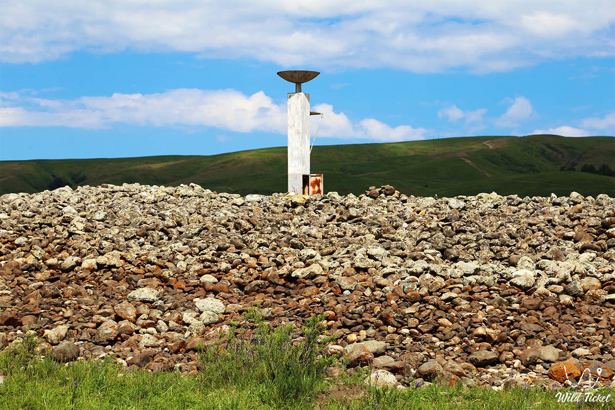
Kurgan Uygen-Tas is located at an altitude of 1370 meters above sea level, the area around it consists of low picturesque mountains and is part of the Dzhungar Alatau. Near the mound are the ancient ruins of settlements. The mound is 6 meters high, 74 meters long and 65 meters wide. Researchers believe that the mound is a funerary structure, but no excavations have been carried out here.
Near the mound there is an unknown reinforced concrete structure of our time, possibly a military structure.
One of the legends says that the mound was built by the soldiers of Tamerlane, who went to war, when the wars returned, they took the stones, the remaining stones symbolized the soldiers defeated in battle.
Photogallery:


Comments 2