Mountains in Zhambyl district of Almaty region -
Mountains in the Kordai district of the Zhambyl region -
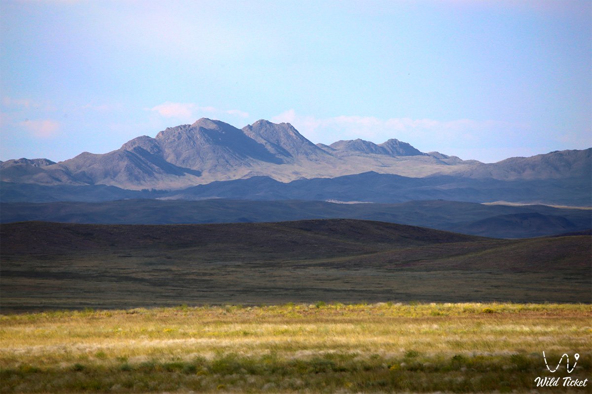
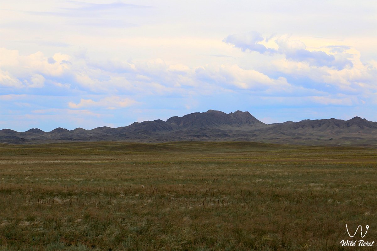
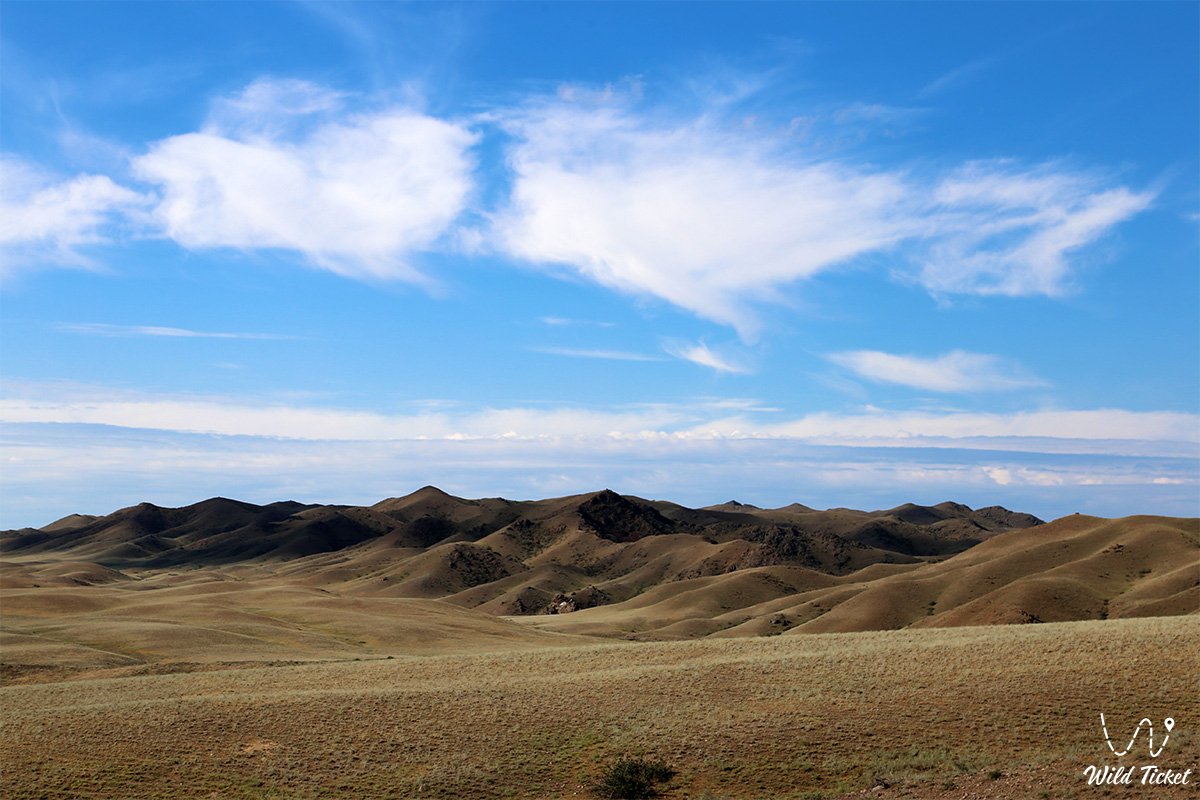
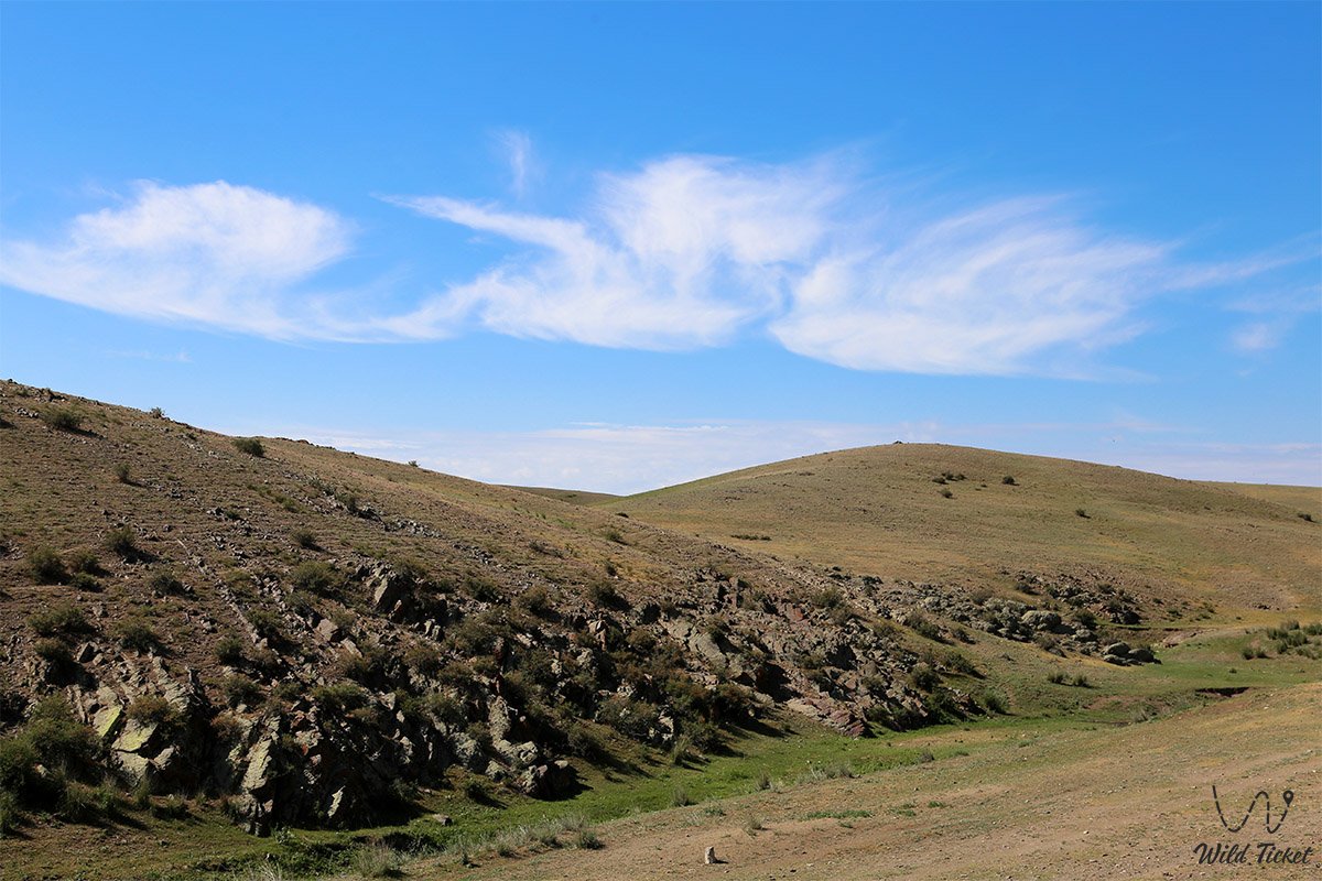
Anyrakay Mountains is a little-known mountainous region in Kazakhstan, the height where the mountains are located is 1000 - 1500 meters above sea level, the mountains are not high, the highest point in these mountains is Mount Tamlayshoky, its height is 1242 meters above sea level. For this region, such a height is not considered low, since the mountains are located in the steppe area and rise sharply for one kilometer.
In the west, the mountain range of the Anyrakai Mountains borders on the small mountains of Tulkili and Ketpen-Kaldy. In the southeastern part of Anyrakay it borders on the Zunbulak and Karykyr mountains.
---------------------------------------------
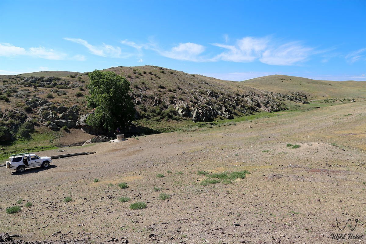
How to get there, visit -
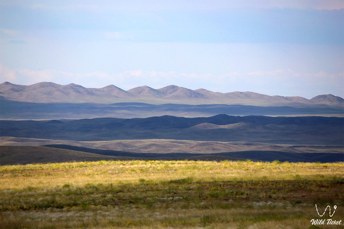
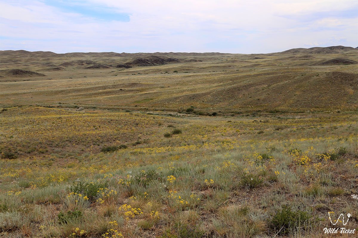
The Anyrakay Mountains are located in the Zhusandala steppe, in the Korday region, the southeastern part of the mountains is partially located on the territory of the Zhambyl region in the northwest of the Almaty region.
GPS coordinates N43°59'46" E75°08'54"
---------------------------------------------
Information
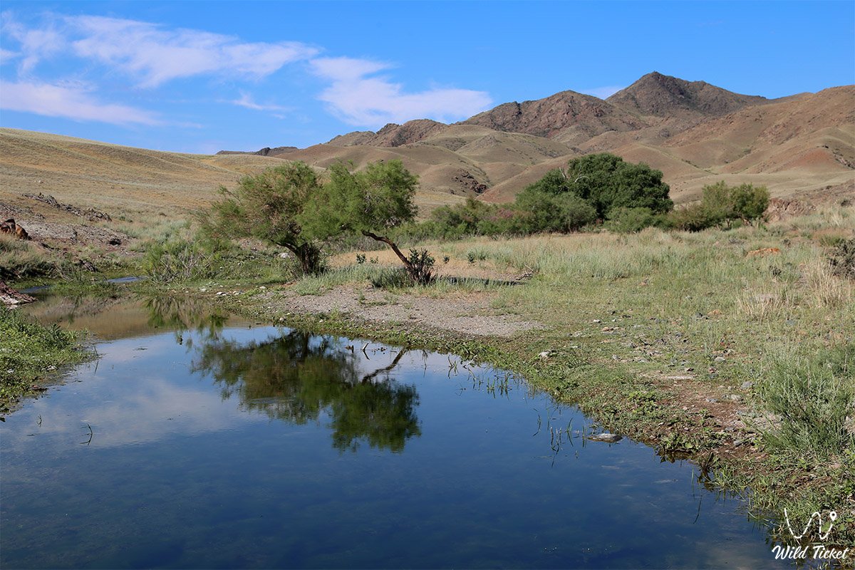
Anyrakay mountains have two large valleys, which, as it were, frame the main part of the massif. In the western part is the valley of the river Kopala, and in the east - the river Sarybulak.
In this interfluve area, a large number of archaeological and historical monuments are concentrated on a relatively small area. The Anyrakai Mountains are the highest in the Chu-Ili Mountains. The most southeastern part of the mountains ends at the watershed of Sarybulak, which runs from south to north, here the administrative border of the Zhambyl and Almaty regions passes along the riverbed.
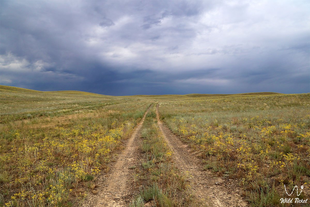
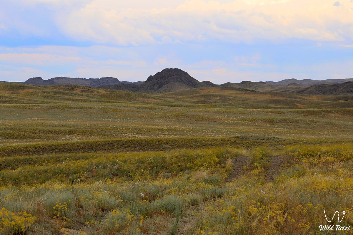
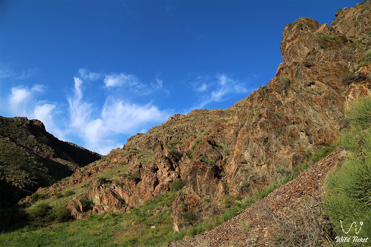
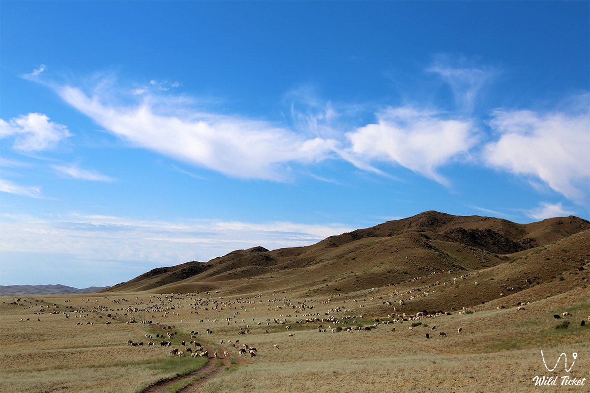
Photogallery: