Mystical secrets of Kazakhstan -
Unknown geoglyphs and places of Kazakhstan -
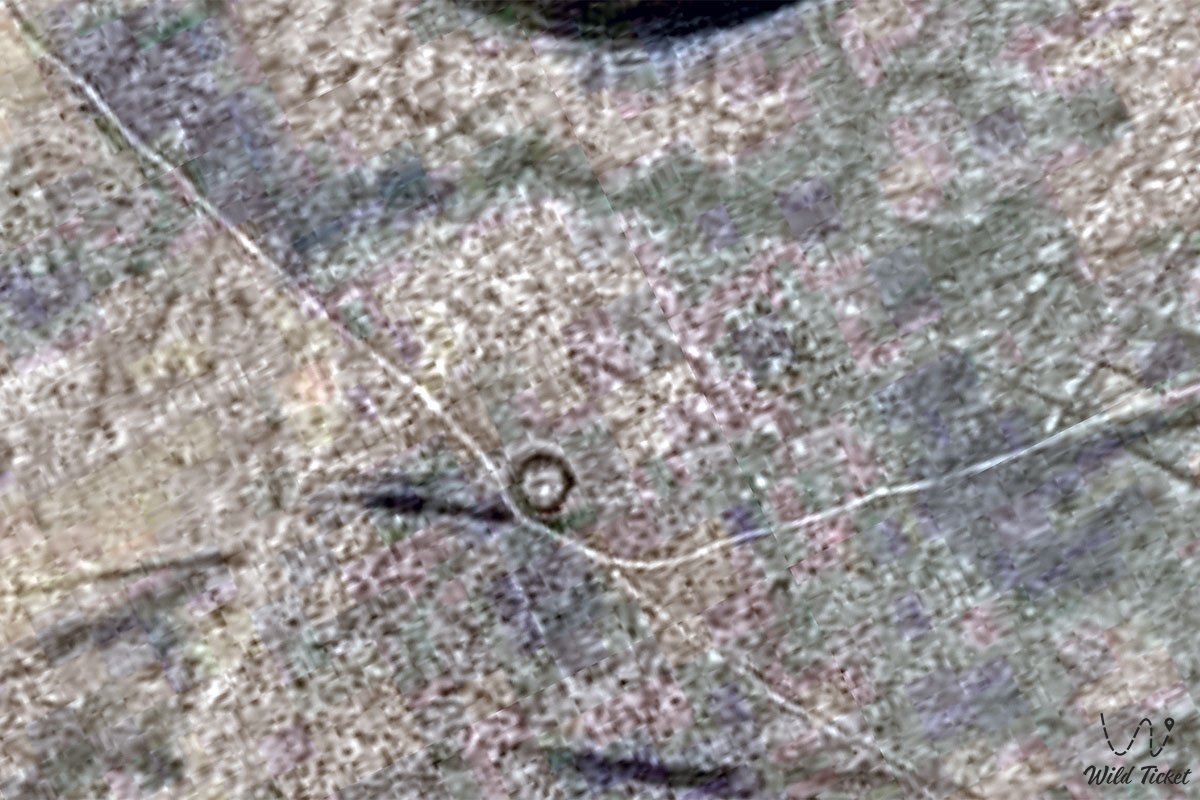
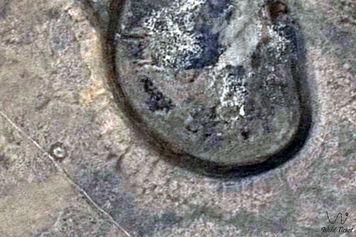
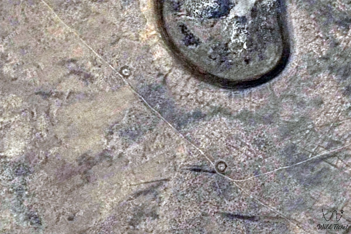
The geoglyph of Zaktama consists of 9 mounds that are located in the steppe of Kazakhstan at an altitude of 179 meters above sea level. The geoglyph is oriented to the northwest, consists of 9 small hills with a diameter of 11 meters, the largest mound has a circumference of 65 meters, the inner circumference is 45 meters. Archaeological excavations were carried out on the mounds, all the mounds are located at different distances from each other.
---------------------------------------------
How to get there, see -
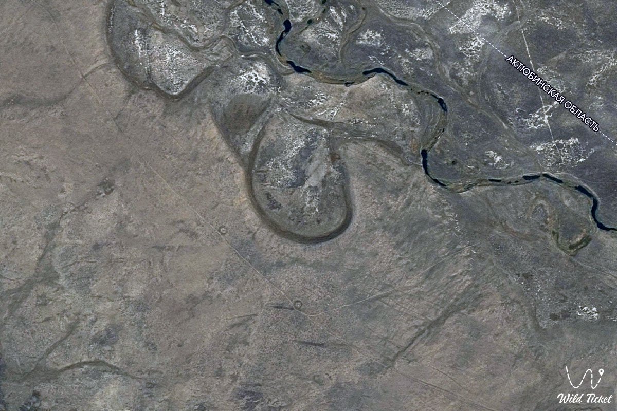
The Zaktam geoglyph mounds are located in the Aktobe region, 2.7 kilometers east of the right bank of the Kabyrga River (Ulkayak River basin), 28.4 kilometers southwest of the village of Shili, 80 kilometers northwest of the village of Torgai, 52.7 kilometers southwest of the village of Bidayik, in the Aitekebi district.
GPS coordinates: N50°12'30" E62°42'58"
---------------------------------------------
Information
The geoglyphs of Zaktam are poorly studied and little known, they are also considered to be the mounds of Zaktam, excavations were once carried out here, but there is no information about them. There are also no descriptions of these studies and there are no descriptions of this archaeological site. The Kabyrga River flows next to the geoglyphs and it can be assumed that in ancient times people lived along the river who built these objects, mounds and geoglyphs.
Photogallery: