Historical monuments of Turkestan region -
Excursion from Shymkent to the settlement of Syutkent -
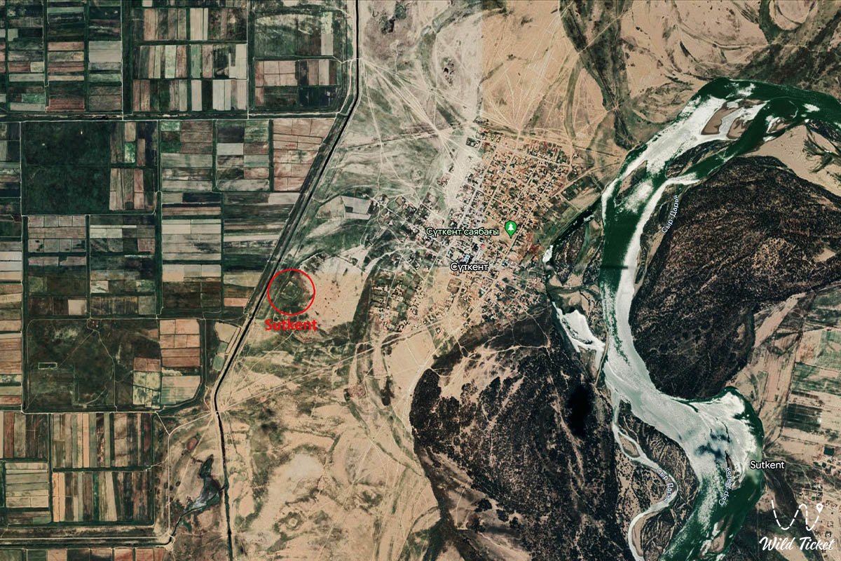
Syutkent-an ancient settlement (settlement) is located in the Turkestan region, dates back to the X - XI century, was first explored in 1900 and later in 1949 by an archaeological expedition led by A.N. Bernshtam.
The city is located on the banks of the Syrdarya River, there is a village nearby, which is also called Syutkent, which suggests that the places here were inhabited from ancient times to the present day.
---------------------------------------------[/b
[b]How to get there, visit -
The settlement of Syutkent is located 2.2 kilometers from the village of Syutkent in the Turkestan region, on the left bank of the Syrdarya River, Shardarinsky district.
GPS coordinates: N41°56'19" E68°04'14"
---------------------------------------------[/b
[b]Information
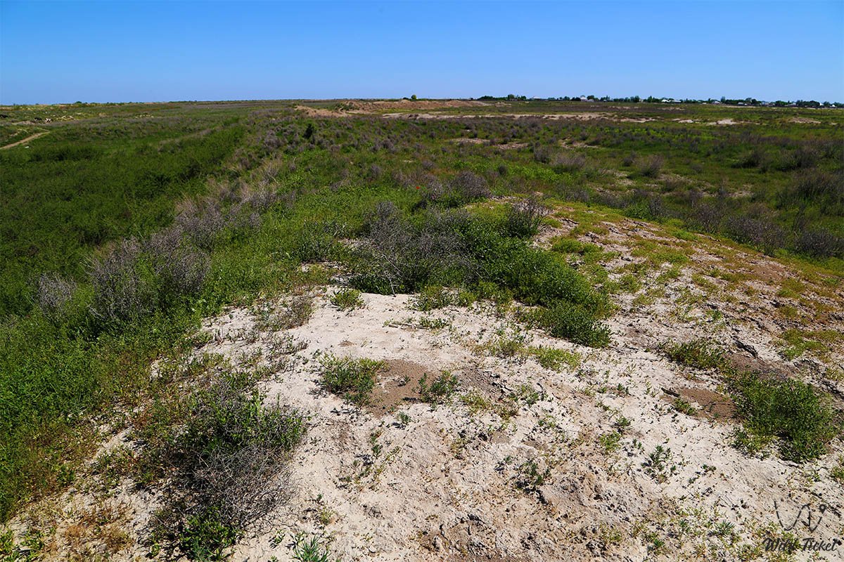
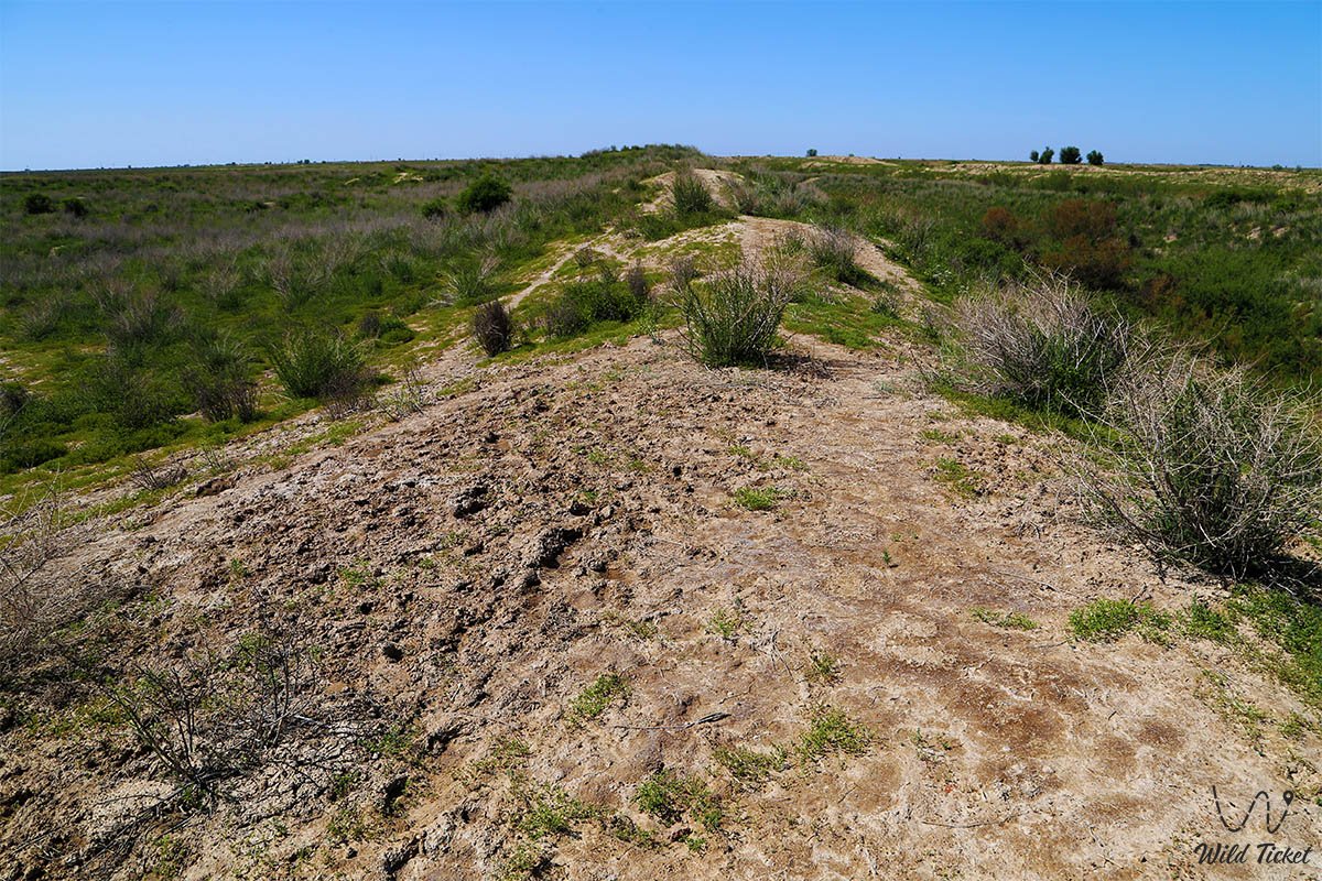
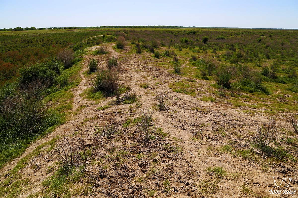
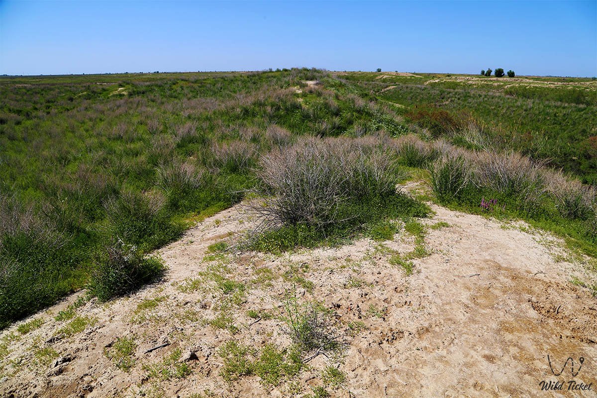
The ancient city of Syutkent was quite large, satellite images show that the main citadel of the city was surrounded by an even larger city wall, which was not preserved in the best form and its outlines are visible only from a great height. At the moment, the city is a low hill oriented to the cardinal directions.
During excavations, ceramic material, fragments of jugs and kitchen utensils were found here. There was a mosque in the city, ancient records of the X - XV centuries testify to this, as well as records testified that Turks from different tribes gathered in this mosque, and the population was militant.
The topography of the monument of the settlement of Syutkent is a platform with a height of 2 - 2.5 meters, rounded from the western, southern, eastern sides, in the north-western part the border is straight. Along the edge of the entire line of the site there are traces of a shaft more than 1 meter high, 4-6 meters wide, with the remains of more than 30 towers. From the outside, the settlement is surrounded by a moat (depth of 1 - 1.5 meters, diameter of 8-10 meters). In the eastern part, the remains of the reservoir have been preserved, the entrance is in the south-eastern part. The size of the site from north to south is 750 meters, from west to east 850 meters.
In the north-western part of the site there are traces of the citadel in the form of a hillock of 4-coal shape, 7-8 meters high and 150 x 150 meters long sides. On the upper, outer side of the citadel, you can see the remains of the rampart and defensive towers at the corners and between them. The base of the citadel is separated from the city by a moat, the entrance to the citadel is in the north-western part. To the east of the settlement, adjacent to it, the remains of numerous suburbs can be seen, the contours and boundaries of which are now difficult to establish. A fortress wall with traces of numerous towers has been preserved from ancient Syutkent, inside it there was a shahristan with a citadel - the center of the city, where the lords of the city and feudal lords lived.
Photogallery: