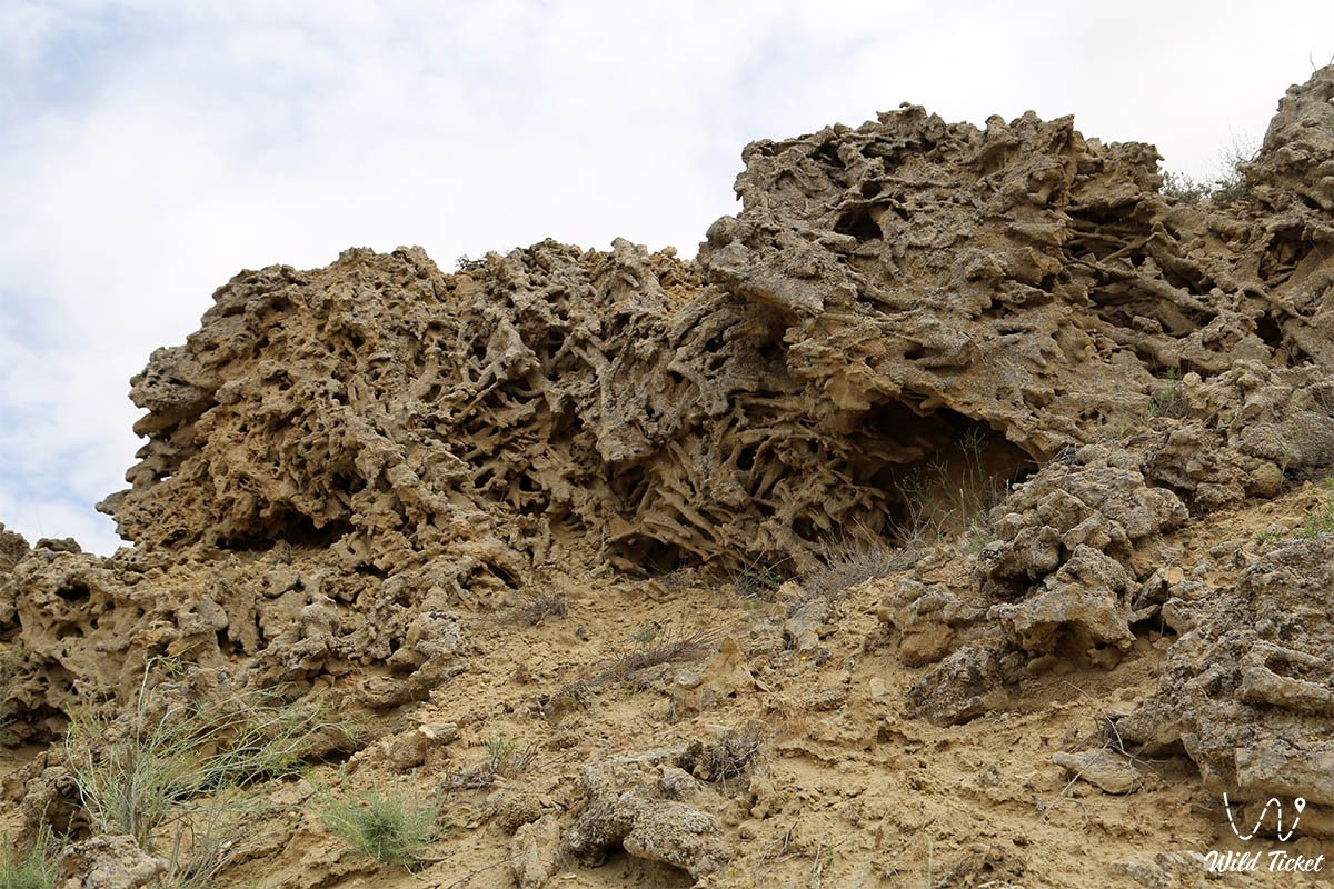
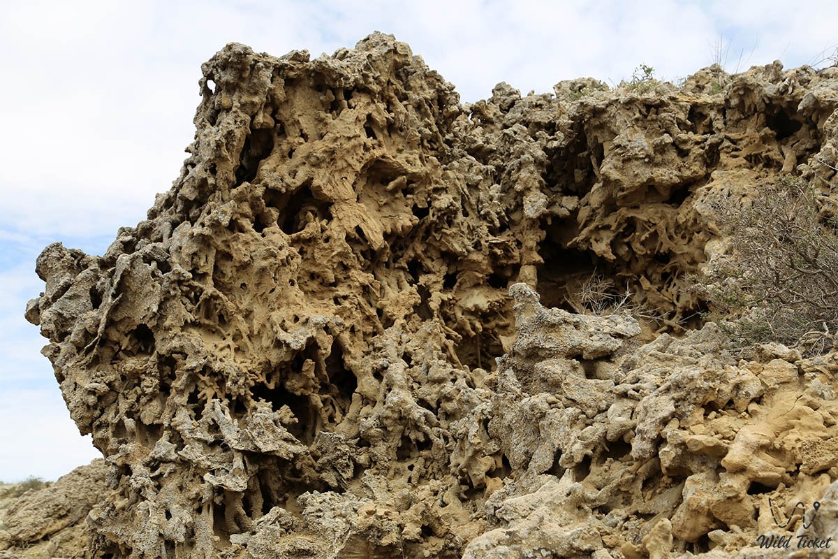
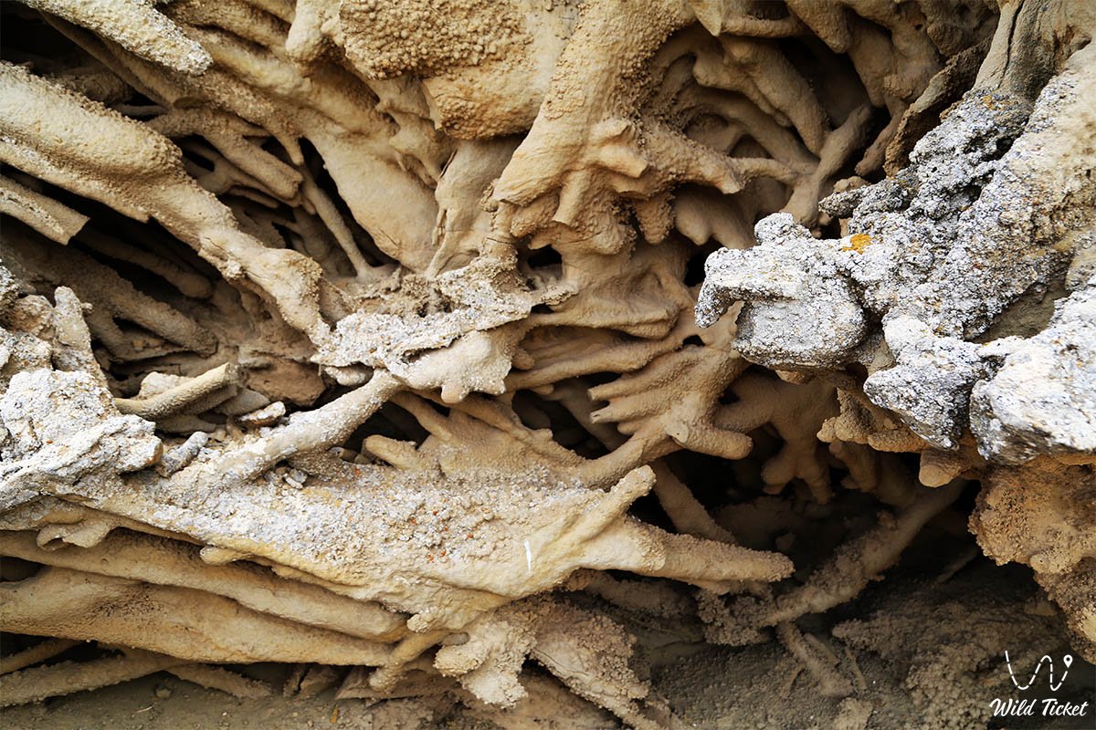
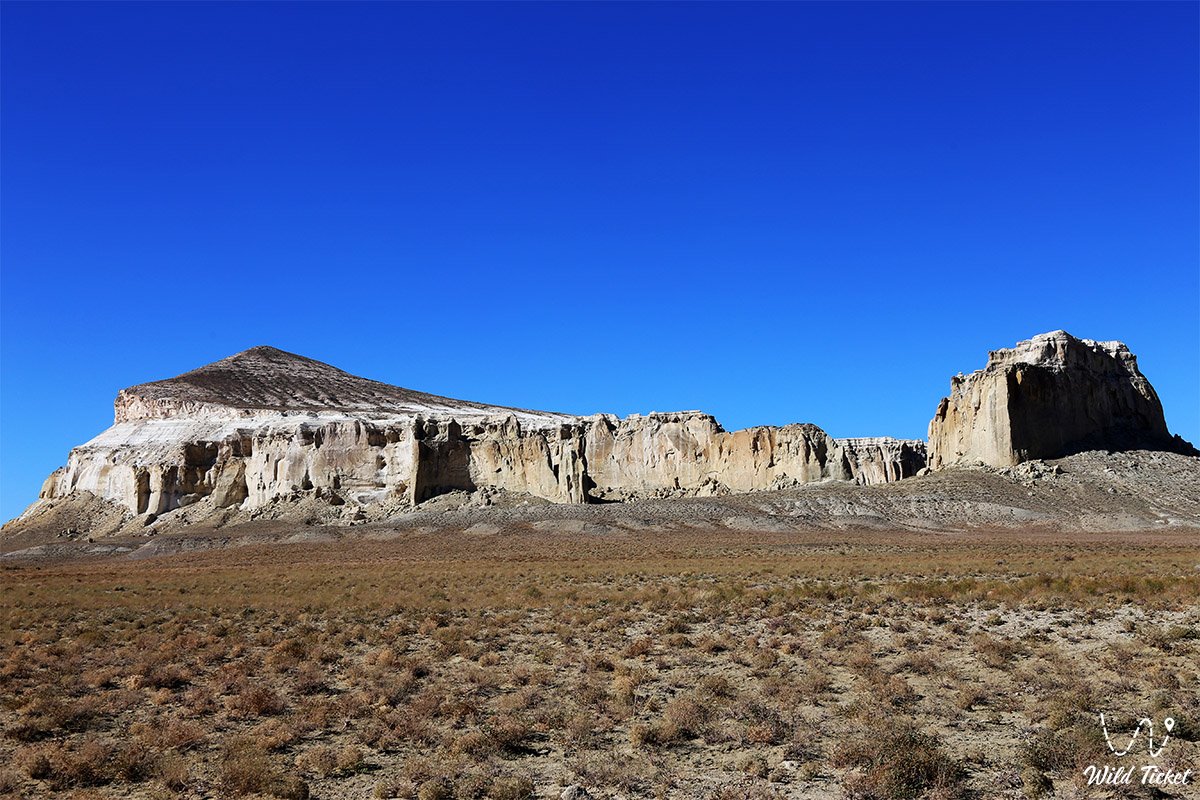
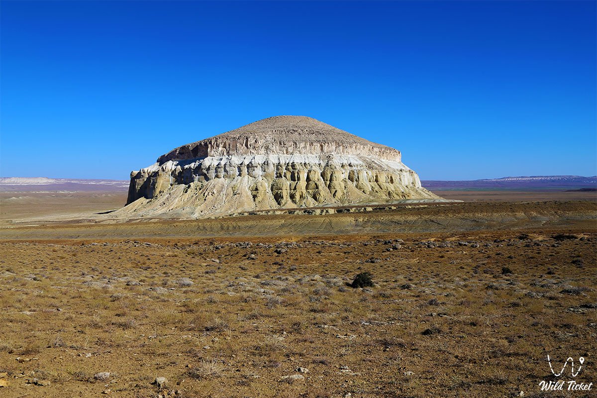
Mangystau is often called an open-air museum, and this is far from a mere poetic metaphor. Millions of years ago, the waters of the prehistoric Tethys Ocean, which once separated the ancient supercontinents of Laurasia and Gondwana, surged across the territory of the Mangystau region. Today, a boundless semi-desert stretches across the site of the ancient seabed, punctuated by whimsical chalk remnant mountains.
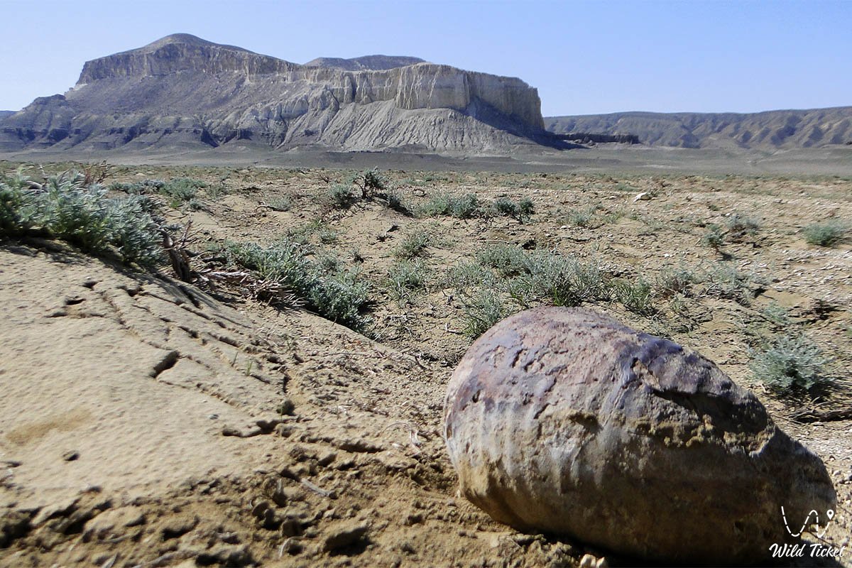
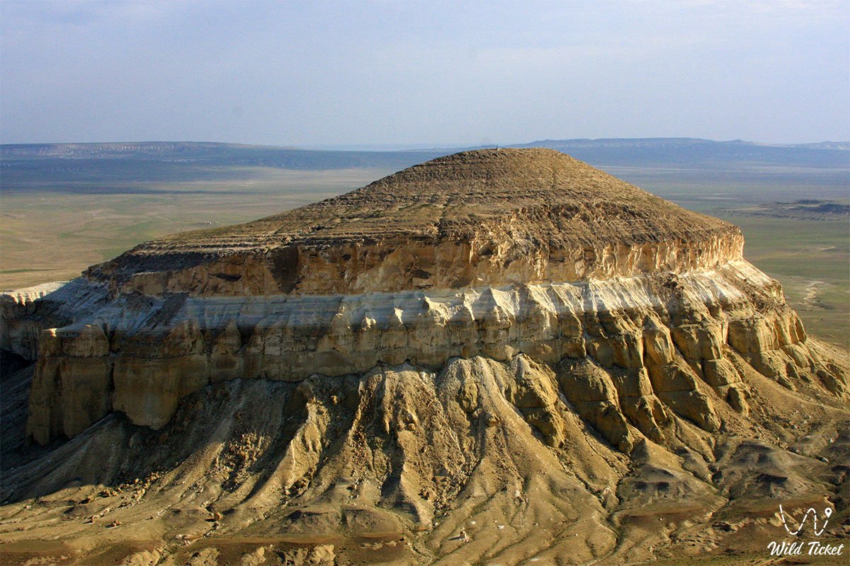
The most famous among them is Mount Sherkala. To the casual tourist, it is a "yurt-mountain" or a "sleeping lion." To an observant traveler and geology enthusiast, Sherkala represents a vertical cross-section of a prehistoric era right in the heart of the Mangyshlak Peninsula, where every rock layer preserves the traces of extinct inhabitants of ancient seas.
Geological cross-section: why fossils are discovered here
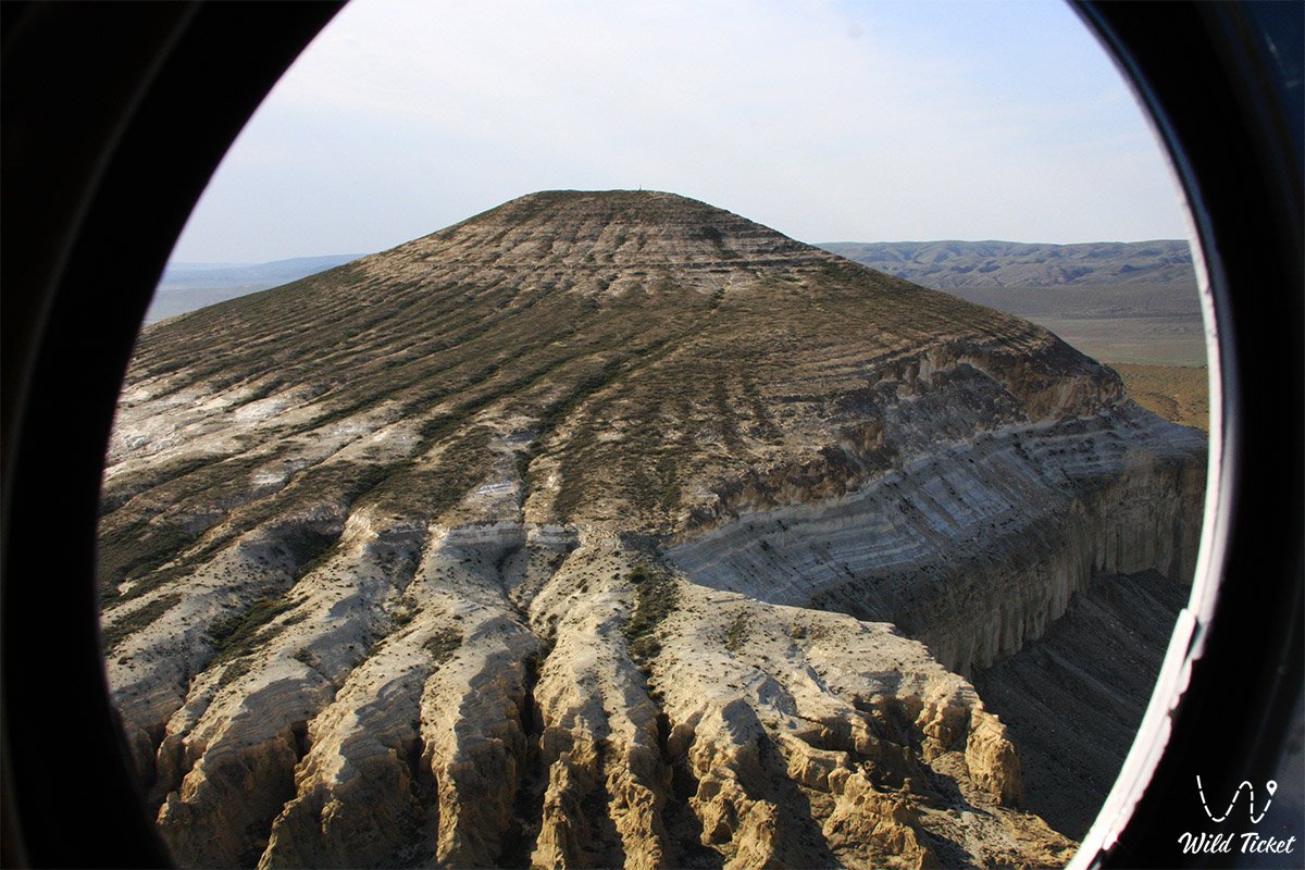
Sherkala formed as a result of prolonged water and wind erosion. The ocean receded gradually, leaving behind multi-meter strata of Mesozoic and Cenozoic benthic sediments.
The slopes of the mountain are composed of interbedded chalk formations, marls, sandstones, and clays. Over tens of millions of years, the remains of shells, carapaces, skeletons of marine inhabitants, and predator teeth accumulated within these strata. Rains, winds, and temperature fluctuations constantly wash away and break down the outer rocks, exposing concealed artifacts right on the scree slopes at the base.
What can be found at the foot of Sherkala and in its vicinity
When heading out on a paleontological quest around the mountain, do not expect to encounter a complete ichthyosaur skeleton. The real treasures here are more diminutive, yet no less valuable:
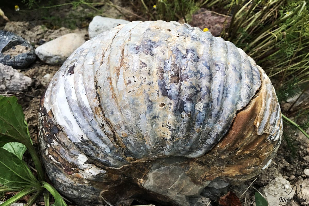
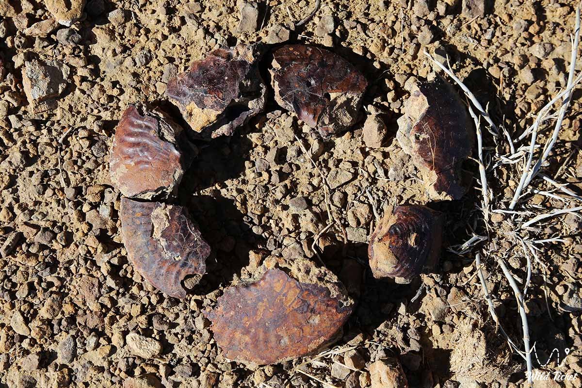
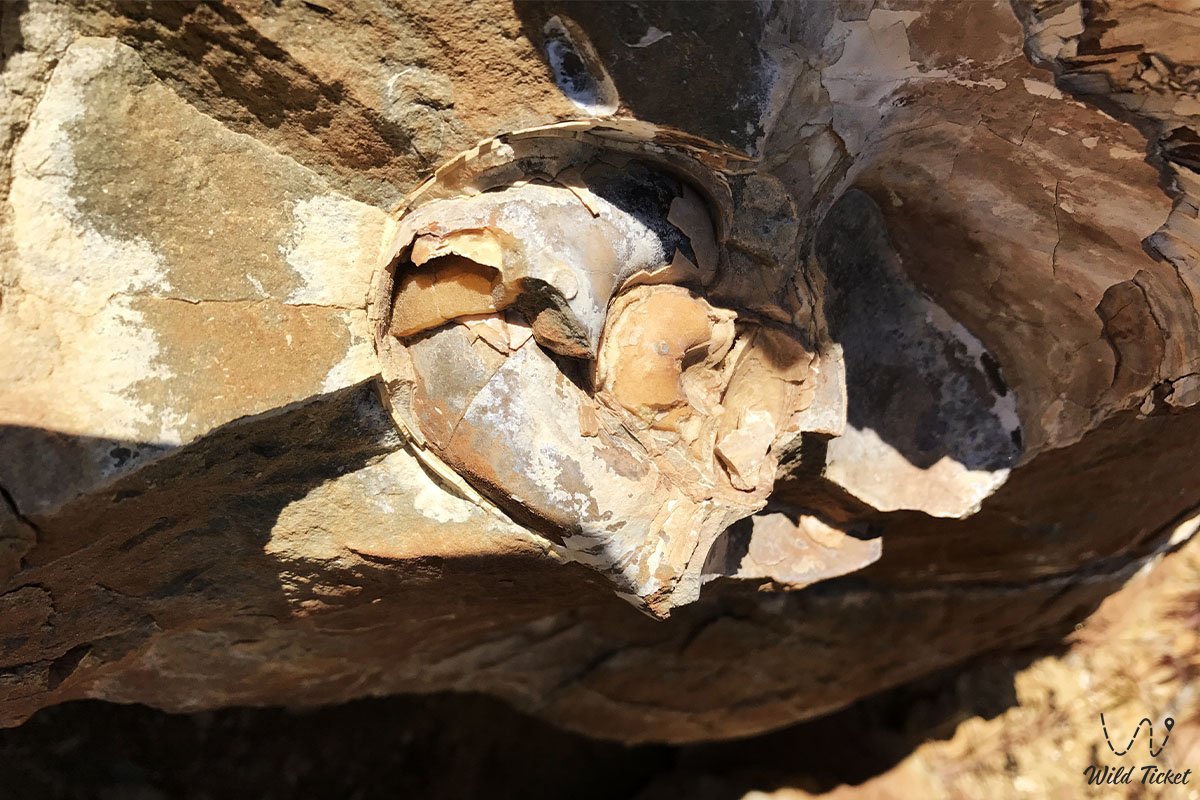
1. Ammonites and their fragments
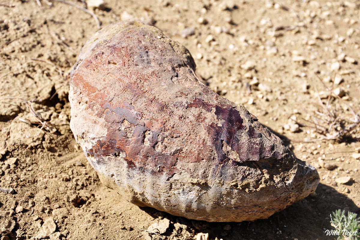
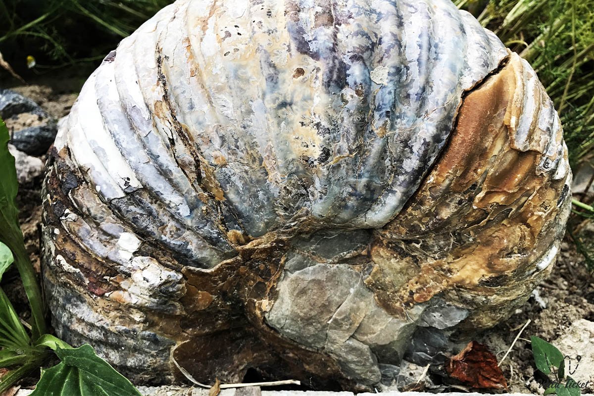
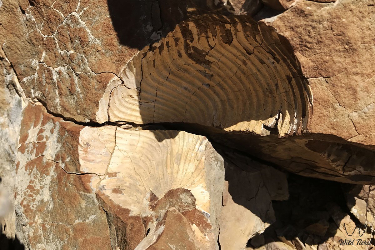
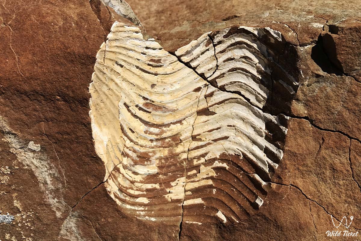
Extinct cephalopod mollusks with coiled spiral shells are a signature hallmark of the Cretaceous period. At the base of Sherkala, fragments of internal shell casts covered with a mineralized patina are encountered most frequently. In certain specimens, intricate suture lines are distinctly visible.
2. Belemnites ("devil's fingers")
The internal shell of ancient cephalopods that outwardly resembled modern squids. In appearance, these are smooth, dense, cone-shaped cylinders ranging from gray to dark amber hues, tapered to a point at one end. They occur quite frequently in dry gullies and screes.
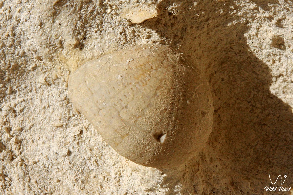
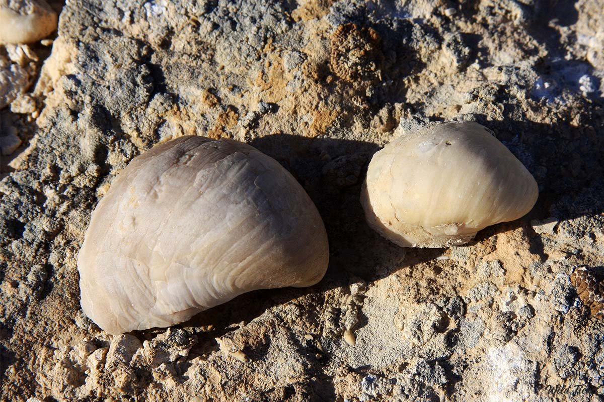
3. Fossil sea urchins and bivalves
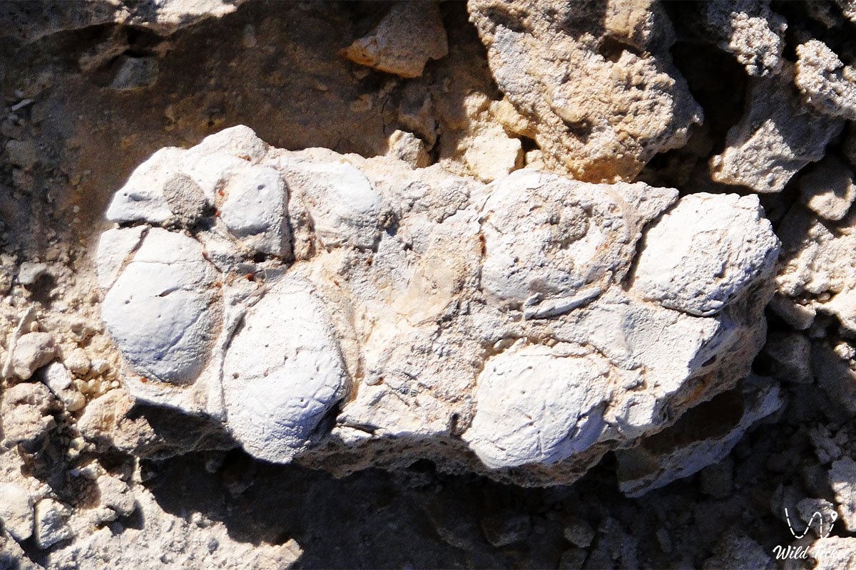
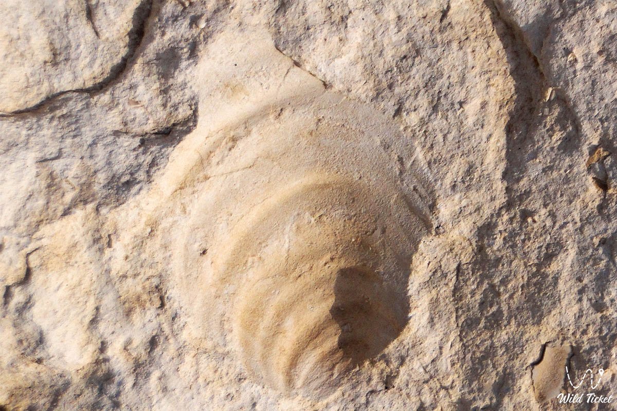
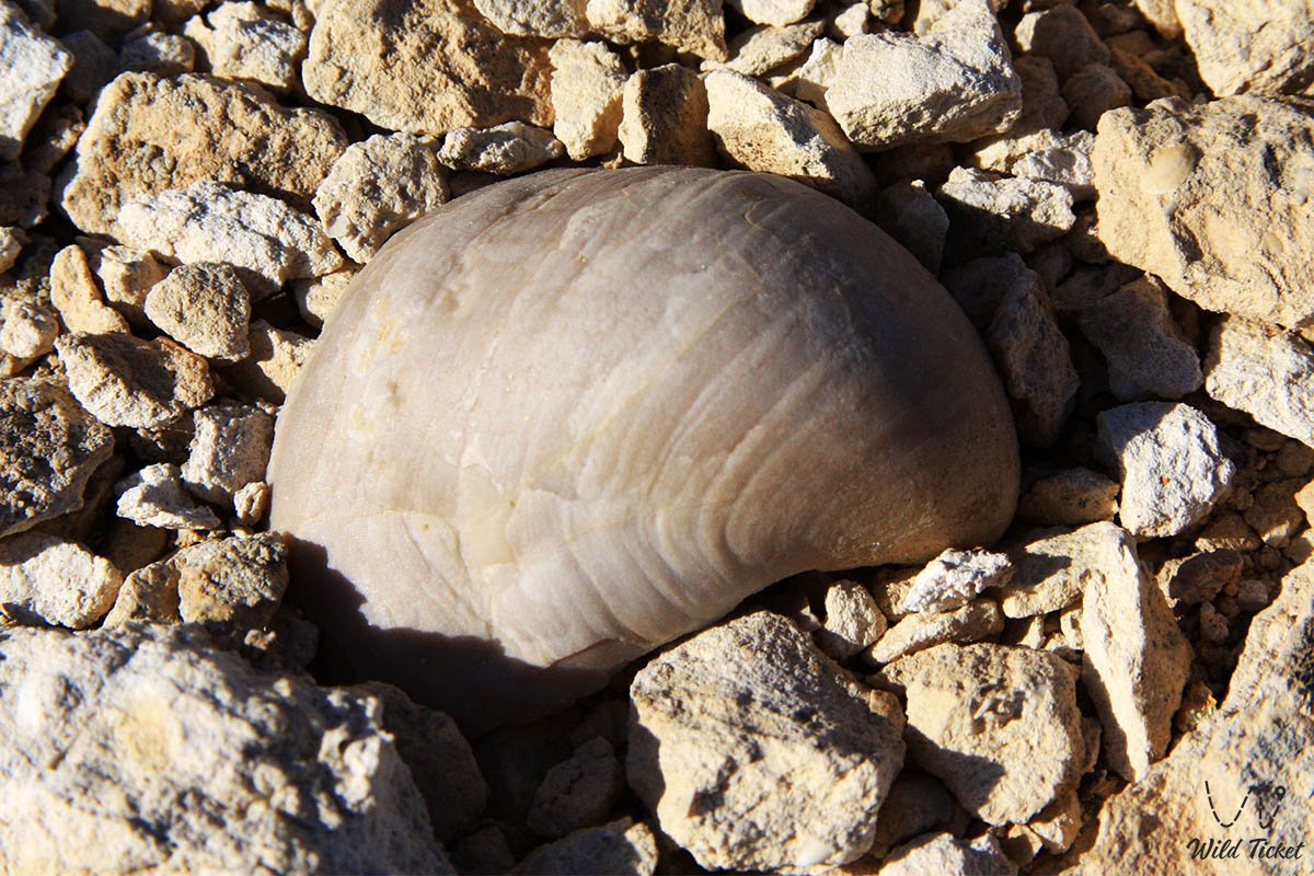
Fossilized sea urchin tests or their detached segments are often found among the chalk screes. They are readily identifiable by their radial symmetry and characteristic relief of tubercles where spines attached millions of years ago. Nearby, one can observe imprints and petrified valves of ancient oysters and pelecypods.
4. Teeth of prehistoric sharks
Shark teeth are the most durable organic remains, preserving impeccably in sediments. In sandy strata and dry rain runnels around Sherkala, seekers discover the teeth of lamniform sharks that inhabited the Tethys Ocean during the Cretaceous and Paleogene periods. They present as lustrous, sharp triangles of dark gray, brown, or black with their enamel intact.
5. Gypsum and selenite crystals
Beyond biological remains, benthic processes of the Tethys Ocean left behind a rich mineral legacy. Across the slopes and in nearby ravines, one can spot transparent plates of "Marienglas" (selenite gypsum), crystal clusters, and famous gypsum desert roses.
Where and how to search: practical advice
Finding fossils does not require specialized equipment; keen attention and adhering to simple guidelines are fully sufficient:
• Examine alluvial fans and rain runnels: after rare but heavy downpours, water washes dense, heavy fossils out of the clay strata and carries them downward. Watch your step carefully along dry gullies at the foot of the cliffs.
• Search natural screes: small rock fragments sliding down the slopes often contain shells or teeth. The host rock here is soft, allowing fossils to separate easily from the surrounding matrix.
• Pay attention to color and texture: fossilized shark teeth and mollusk shells are typically darker or denser than the surrounding white chalk and yellow sandstone, exhibiting a characteristic sheen or a well-defined geometric texture.
Nearby paleontological sites in the near and far radius
A trip to Sherkala can be conveniently paired with other unique natural sites within the same geological hub:
Near radius from Sherkala:
• Airakty Tract ("Valley of Castles"): located just 15 km southeast of Sherkala. Massive remnant elevations are composed of similar Tethys Ocean chalk strata, where fossilized shells, ammonites, and ancient fish teeth are discovered on the screes at the base of table mountains.
• Kokkala Canyon: situated 15 km from Sherkala. A picturesque gorge with multicolored Jurassic clays exposes ancient layers containing imprints of prehistoric fern flora and petrified carbonized wood.
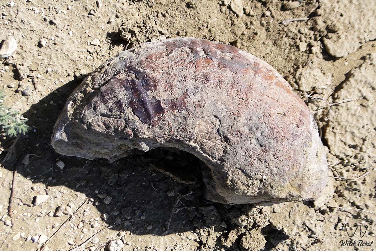
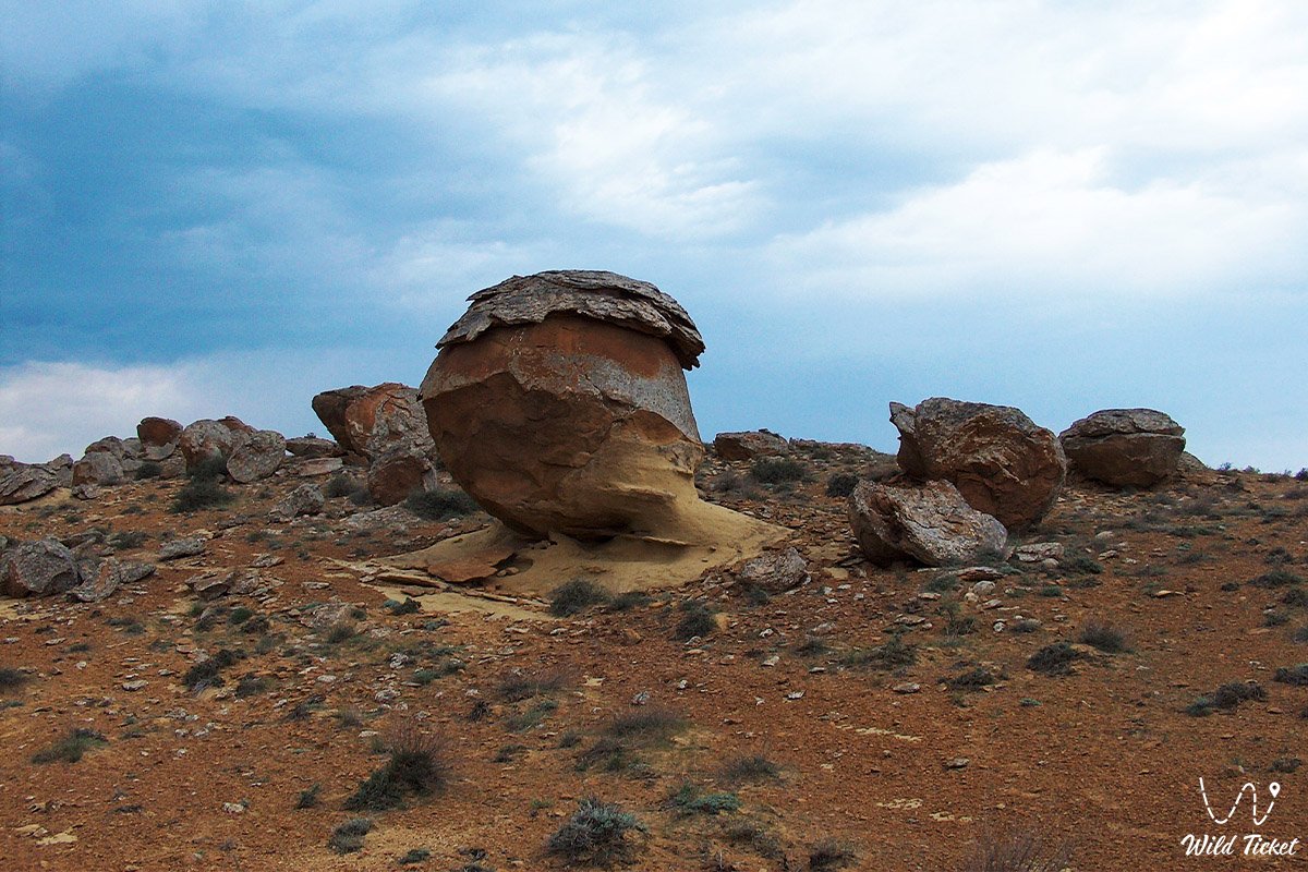
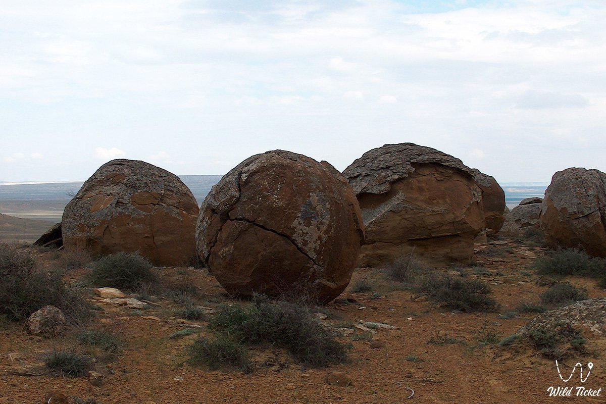
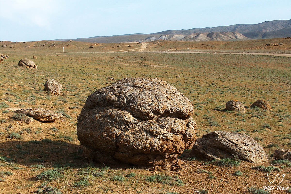
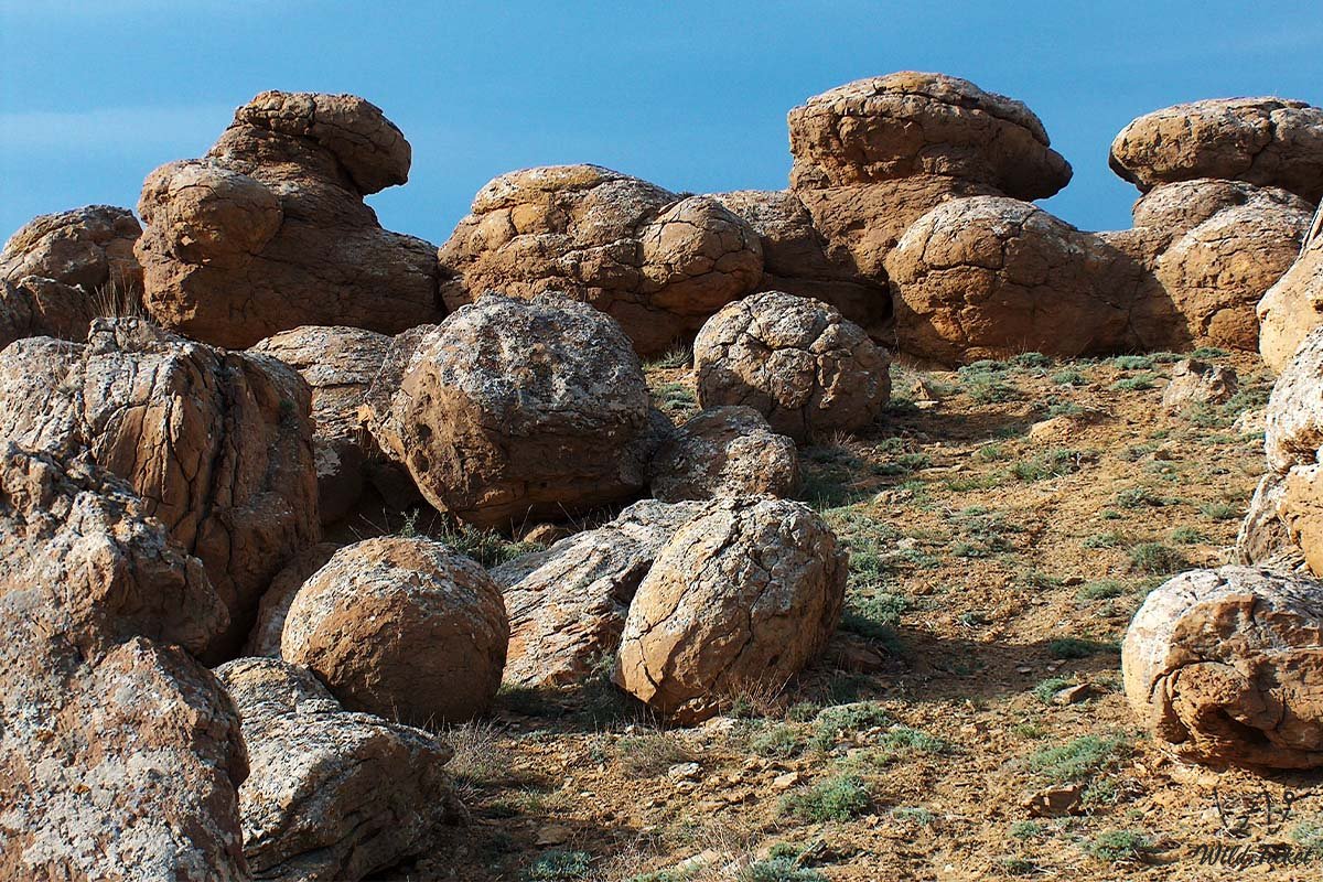
• Torysh Tract (Valley of Balls): about 40 km northwest of Sherkala (or 110 km from Aktau). Renowned for an accumulation of giant stone concretions that formed around organic nuclei on the oceanic seabed.
• Sulukape Gorge (Sulukapy): situated just 8 km from the settlement of Shetpe and approximately 20 km south of Sherkala. This is a secluded desert canyon with a clear spring brook forming a small oasis lake. From a geological perspective, the site is unique because fossilized coral polyps and remnants of ancient reef structures from the Tethys Ocean are found within the weathered sandstone and limestone strata of the gorge.
Far direction:
• Silicon Valley in the Bozzhira Tract: located considerably further away – roughly 300 km southeast of Aktau and more than 260 km from Sherkala. This is an extensive expanse strewn with numerous scatters of natural flint fragments stretching across many kilometers.
Reaching this destination is possible exclusively in prepared four-wheel-drive off-road vehicles (4x4) capable of navigating the challenging steppe terrain of the Ustyurt Plateau.
--------------------------------------------
How to get to Sherkala and plan your trip
Mount Sherkala is situated approximately 170 kilometers northeast of the city of Aktau, near the settlement of Shetpe (the drive takes about 2–3 hours one way).
GPS geographical coordinates of Mount Sherkala: 44°15'19"N 52°00'23"E
By car: the primary route from Aktau runs along a paved highway to the settlement of Shetpe (about 150 km). From Shetpe toward the Akmysh tract, the road begins as asphalt before transitioning into a compacted steppe graded track and dirt road (about 15–20 km).
Vehicle requirements: in dry weather, the base of the mountain can be reached carefully in a passenger car or crossover. However, after rains, local clay and salt flats quickly turn slick and soft, transforming into a treacherous trap – during wet weather, traveling here should be done exclusively in a four-wheel-drive off-roader.
Best time to visit: optimal seasons are spring (from mid-April to late May) and autumn (September – October). During these periods, there is no exhausting steppe heat, and temperatures are comfortable for extended walks around the mountain.
What to take along: pack a drinking water supply (no less than 2–3 liters per person), a head covering, sunscreen, and sturdy footwear with non-slip soles. If you plan an overnight camp or a picnic, a freshwater spring can be found in the adjacent grove of the Akmysh oasis.
If you prefer not to arrange logistics independently, you can join our organized tour: 4-Day Photo Tour to Mount Sherkala and Kokala Tract from Almaty via Aktau.
--------------------------------------------
Safety and environmental guidelines
Sherkala is a unique natural monument of Mangystau, and any excursion here demands environmental mindfulness:
• Damaging bedrock slopes is strictly forbidden: do not use geological hammers or shovels to chisel into the mountain's bedrock strata. This accelerates erosion, ruins the unique landscape, and triggers dangerous rockfalls.
• Collect only what already rests on the surface: the most ethical way to search is to pick up naturally weathered specimens from scree slopes and dry rainwater runnels.
• Do not attempt to climb to the summit: the mountain's flanks are sheer and composed of loose, crumbling rock. Ascending without specialized mountaineering equipment is life-threatening.
• Handle your finds with care: many chalk fossils are fragile. Bring along soft tissue paper or a padded container to protect gathered specimens from damage during transit.
A paleontological walk around Sherkala transforms an ordinary sightseeing trip into an enthralling scientific exploration. Holding in your hand the tooth of a shark that swam here tens of millions of years ago, you genuinely grasp the immense scale of history frozen across this ancient seabed.
Other natural sights of this region:
• Kyzylkup Tract (Tiramisu);
• Shakpak-Ata Canyon (Shakpaktysay);
• Zhygylgan Tectonic Sinkhole;
• Fossilized Traces of Ancient Animals in the Zhygylgan Tract;
• Lake Kuzdykary;
• Sultan-Epe Canyon;
• Tamshaly Canyon-Oasis and Lake;
• Karagiye Depression;
• Saura Tract Canyon and Turtle Lake;
• Kenderli-Kayasan Plateau;
• Mangyshlak Chalk (White) Mountains;
• Cape Tyub-Karagan;
• Mount Bokty;
• Khanga Baba Tract;
• Lake Karakol (Home of Greater Flamingos).
Photogallery: