Travel from Almaty to Kyzylorda -
City tour of Kyzylorda -
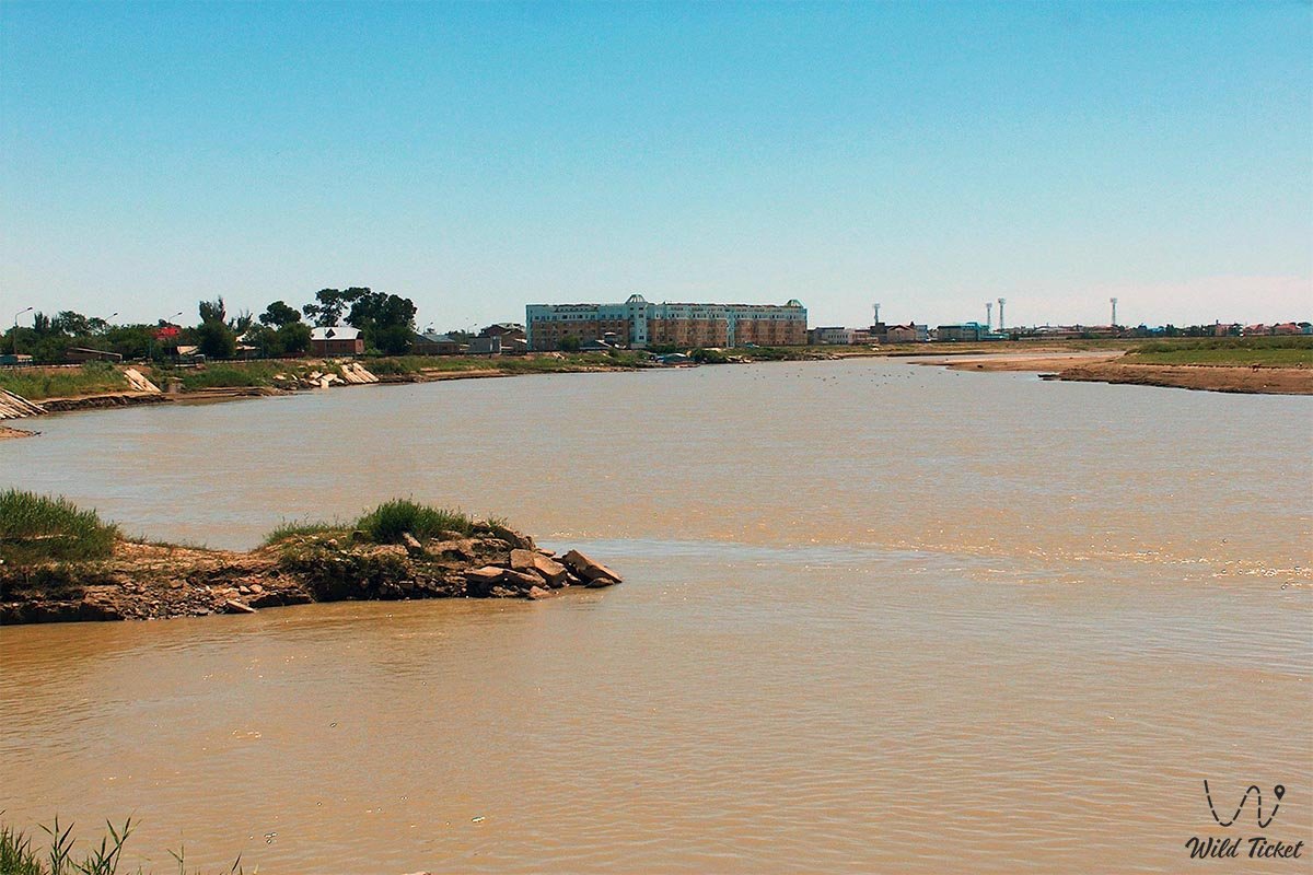
Kyzylorda is a city in the south of Kazakhstan, the administrative, economic and cultural center of the Kyzylorda region (since 1938). Located on the right bank of the Syrdarya River, the city is located at an altitude of 130 meters above sea level, the territory of the city stretches along the river. Kyzylorda is a city of theaters and cultural life, there are a large number of theaters, cultural events are held here.
---------------------------------------------
How to get there -
The city of Kyzylorda is located in Kazakhstan, Kyzylorda region, the bank of the Syrdarya River.
GPS coordinates: 44°51'N 65°31'E
---------------------------------------------
History
The city was built in 1817 in the village of Kamyskala. During the time of the Kokand Khanate, the fortress of Akmeshit was founded in this place. Since August 1853, the city was renamed Fort Perovsk. In 1867, Perovsk received the status of a city and became a county center. In 1901-06, due to the construction of the Orenburg-Tashkent railway, the city's population increased dramatically. In 1922 the city was renamed to Akmeshit, in April 1925 it was renamed to Kyzylorda and received the status of the capital of the Kazakh ASSR (until 1929).
On January 13, 1926, the Kazakh Drama Theater (Kazakh State Theater of the Mukhtar Auezov Academy) opened in the city. The number of healthcare and education places has increased. In 1938, the city became a regional center. In the 30s of the XX century, a power plant, a mill, bakeries, fish processing, rice, brick factories operated in the city. In the years after the Second World War, a shoe factory, a meat processing plant, a grain grocery plant, a dairy plant, a pulp and cardboard factory, and a fabric factory were launched.
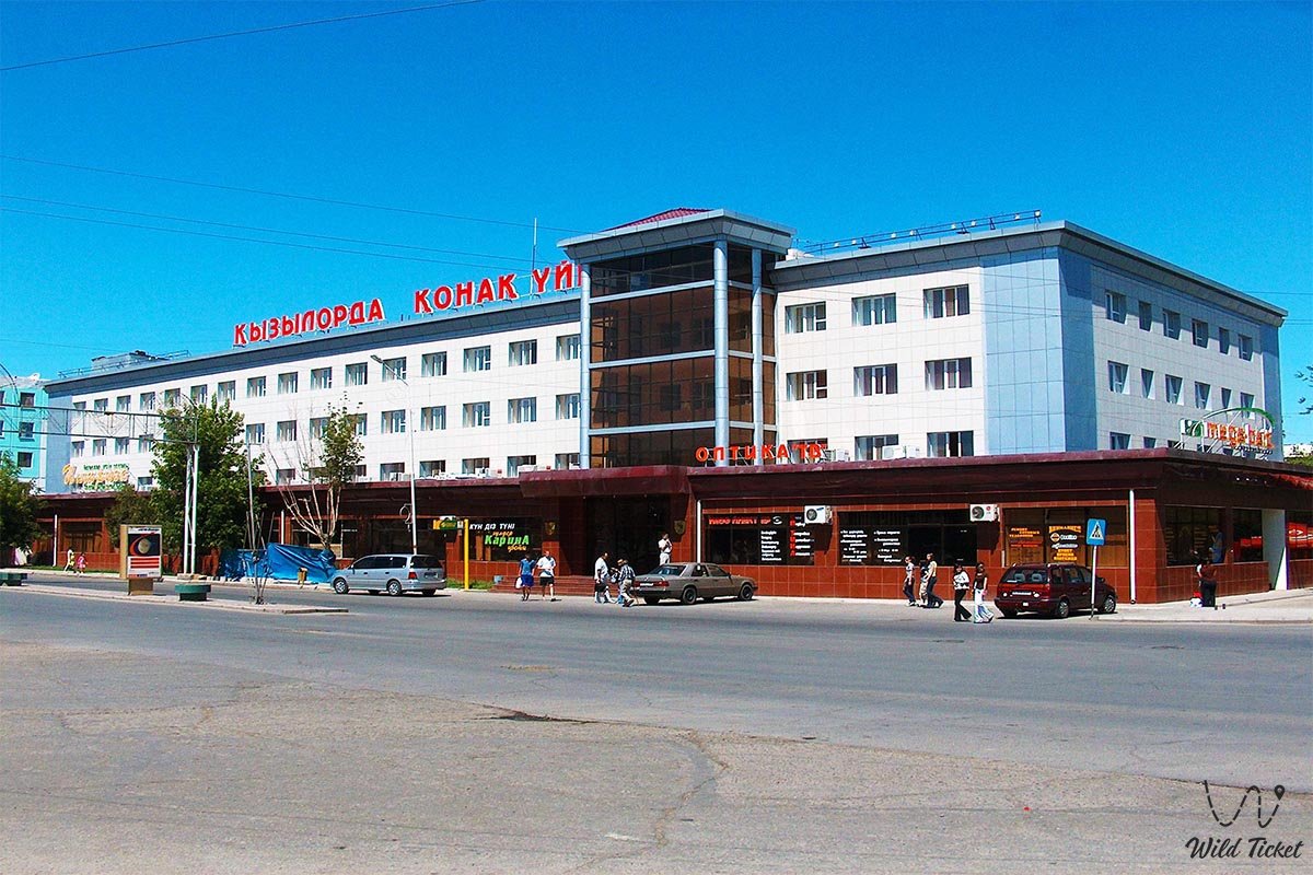
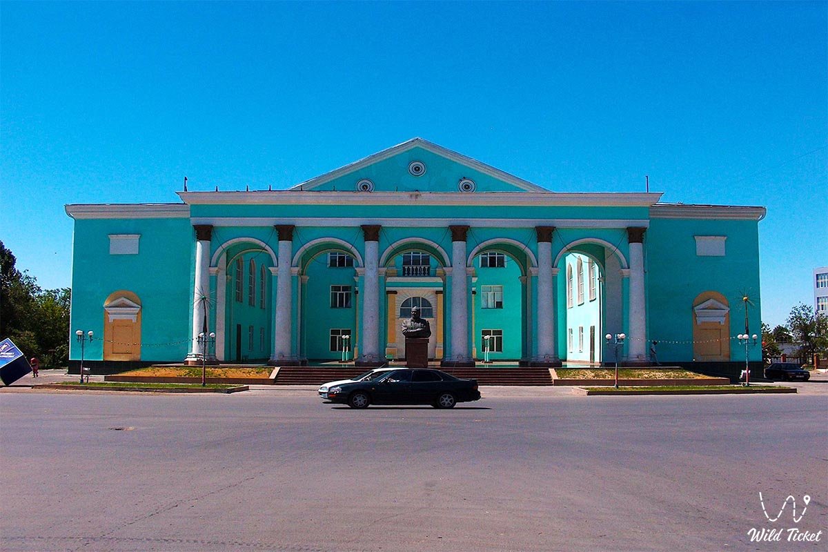
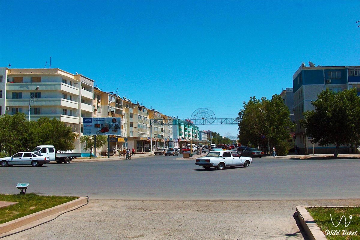
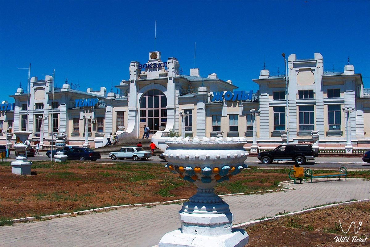
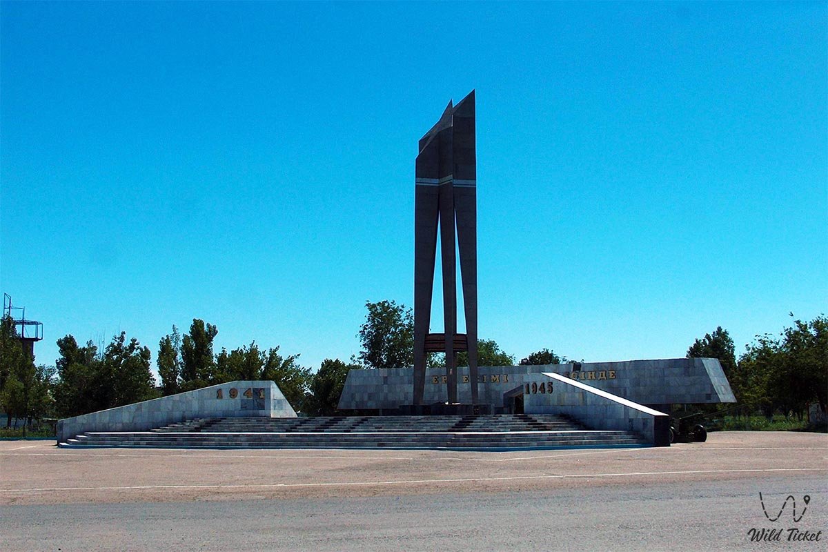
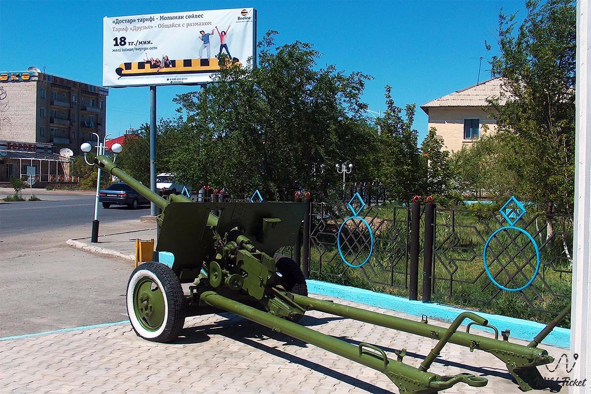
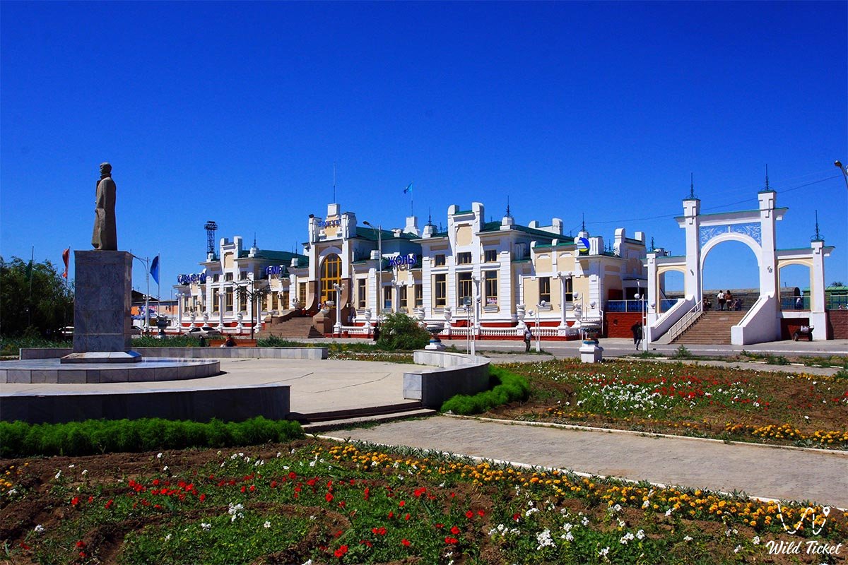
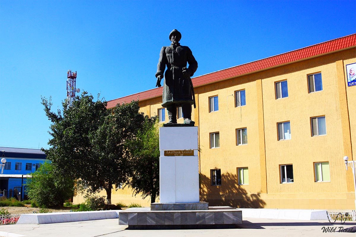
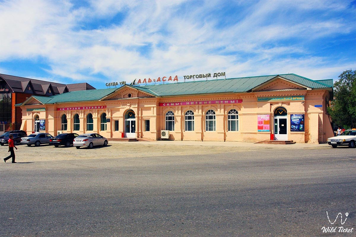
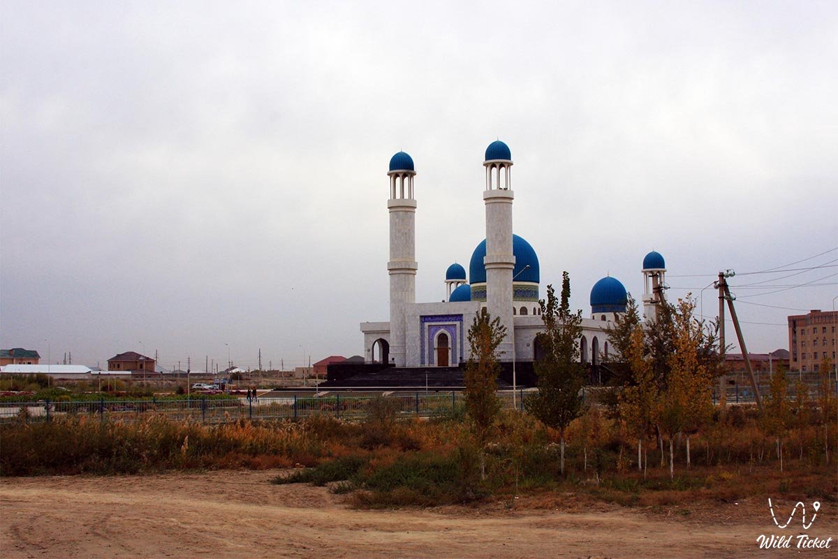
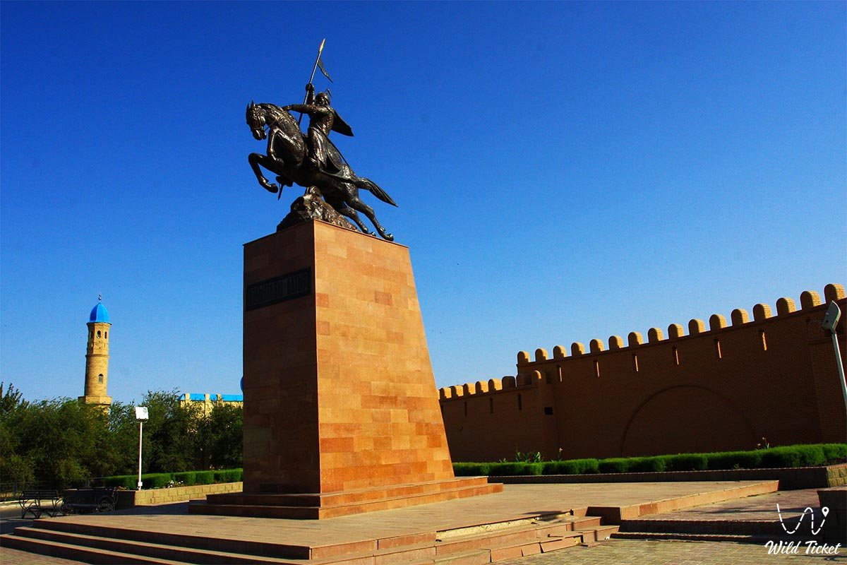
Photogallery: