Strategic region of Kazakhstan Aral area (Priaralye region), ancient cradle of the Silk Road and cosmic outpost of humanity -
The Kyzylorda region (Kaz. Qyzylorda oblysy, Rus. Kzyl-Ordinskaya) represents a large-scale administrative-territorial and historical-geographical region in the south and southwest of the Republic of Kazakhstan, formed on January 15, 1938, and awarded the Order of Lenin on August 21, 1967.
The region occupies an area of more than 226,000 square kilometers, situated east of the Aral Sea, primarily within the Turan Lowland with elevations ranging from 50 to 200 meters. The administrative center of the region is the city of Kyzylorda, founded in 1820 as the fortress of Akmeshit ("White Mosque"), whose name translates as "Red Capital," as the city served as the official capital of the Kazakh ASSR in 1925–1927 (effectively until 1929).
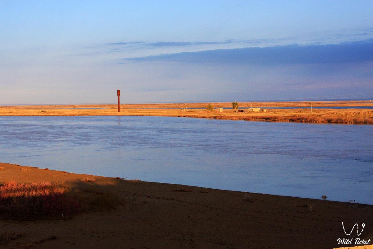
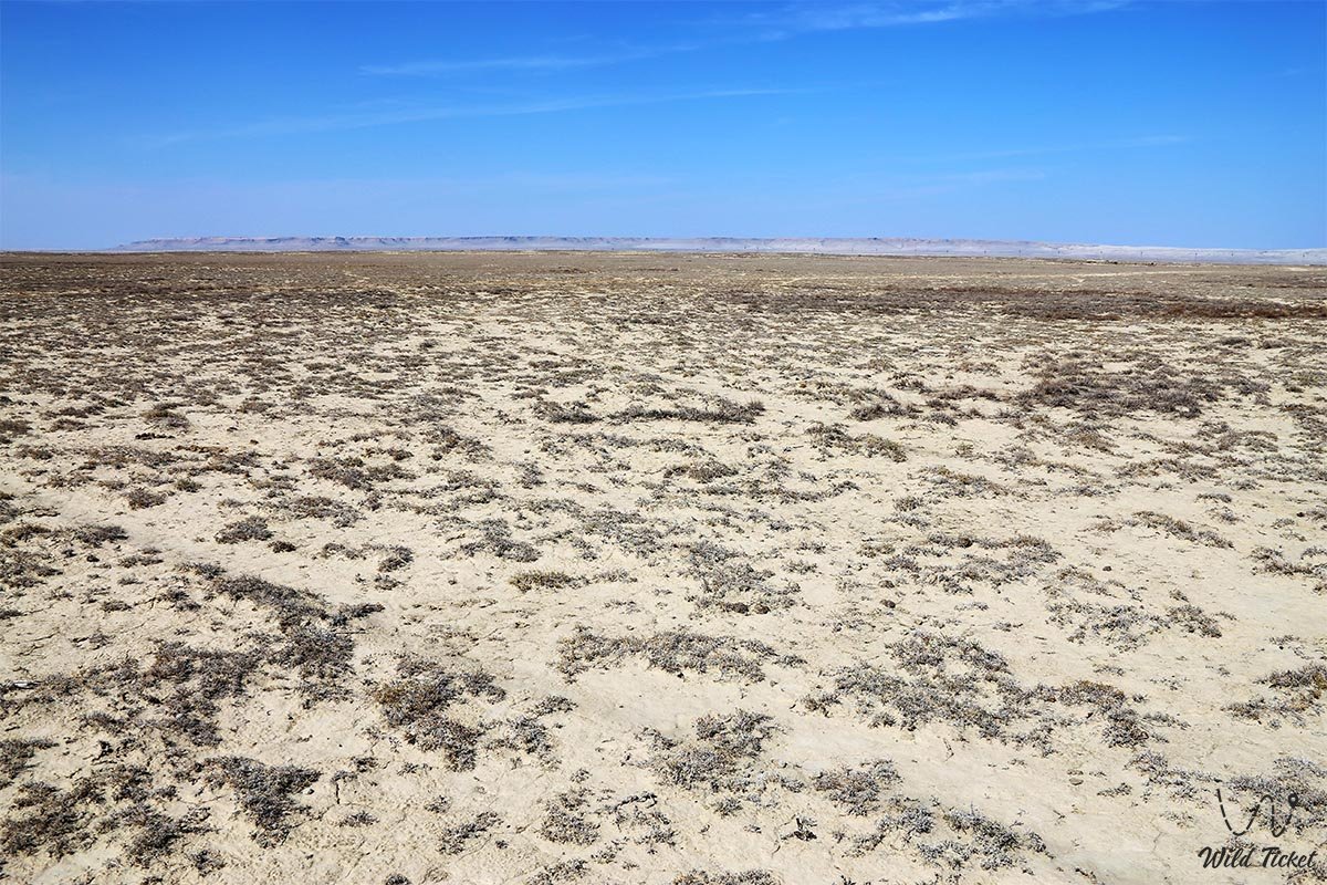
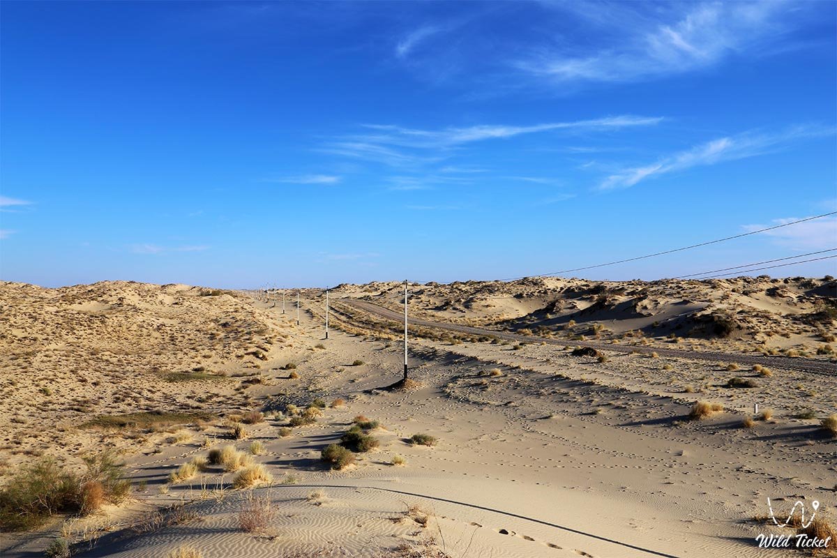
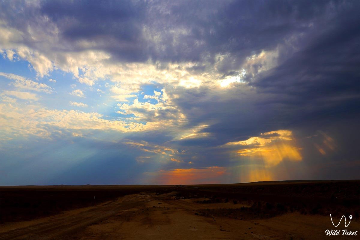
Geographically, the region is distinguished by expressive contrast: along the left bank of the Syr Darya River stretch the hummocky-ridged sands of the Kyzylkum Desert, cut by the ancient dry channels of the Zhanadarya and Kuandarya. Along the right bank rise uplands (Mount Egizkara with a height of 288 meters), the Aryskum sand masses, as well as wide depressions with the takyr-like salt marshes of Dariyaly.
In the north lie the sand ridges of the Small Barsuki, Aral Karakum, and Zhuankum, in the extreme northeast the lower reaches of the Sarysu River enter the region, and in the extreme southeast rise the northwestern spurs of the Karatau Ridge with heights reaching up to 1,419 meters.
The region borders the Shalkar and Yrgyz districts of the Aktobe region to the northwest and north, the Otyrar and Sozak districts of the Turkestan region to the east, the Ulytau district of the Ulytau region to the northeast, as well as the Republic of Karakalpakstan and the Navoi region of Uzbekistan to the west and south. The northeastern half of the Aral Sea is included within the region's borders.
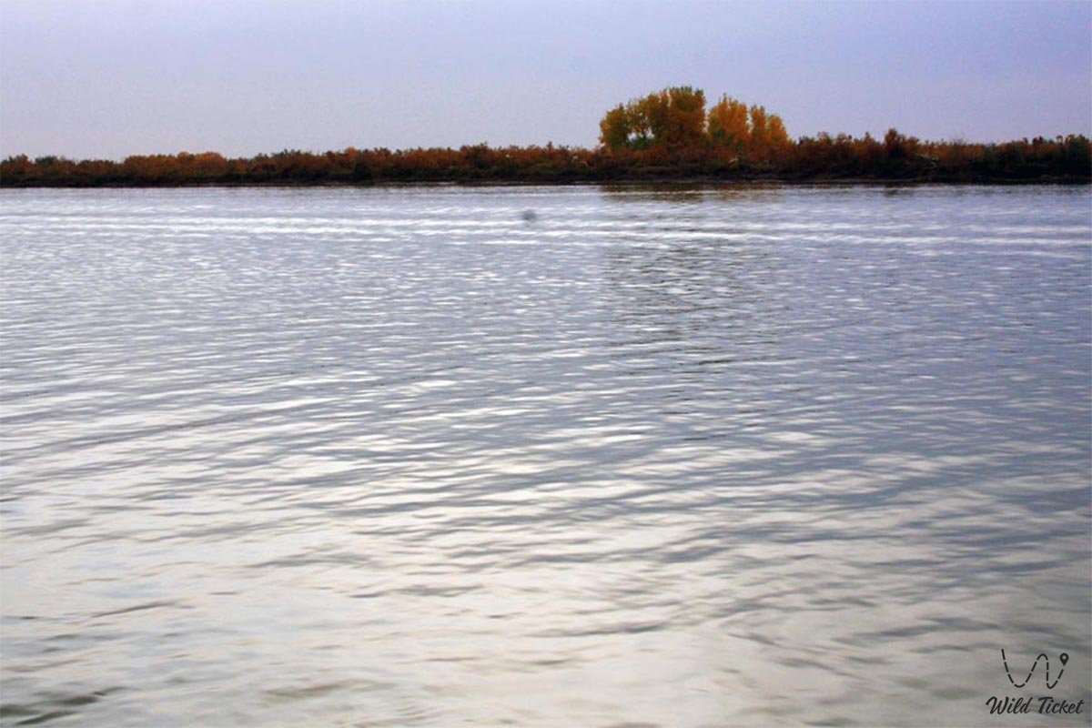
The Kyzylorda land serves as a bridge between ancient civilizations and the space era: here, across an area of 6,717 square kilometers, lies the world-famous Baikonur Cosmodrome, from where manned and cargo spacecraft are launched, the North (Small) Aral Sea is being revived, and the unique wildlife of Turan is preserved in coastal auls and protected tracts.
--------------------------------------------
How to get there and visit -
The transport framework of the Kyzylorda region is based on the "Western Europe – Western China" international corridor, whose total length is 8,445 km (the Kazakh section is 2,787 km, of which almost a third, 811 km, passed through the territory of the Kyzylorda region with highway bridges across the Syr Darya and the Shirkeyli canal).
Parallel to the highway runs the Orenburg – Tashkent railway line with stations at Kazalinsk, Tyuratam, Josaly, Kyzylorda, Shieli, and Zhanakorgan. The Korkyt Ata International Airport operates in Kyzylorda.
GPS geographical coordinates: 45°33'34"N 63°19'38"E
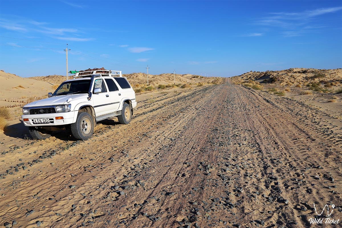
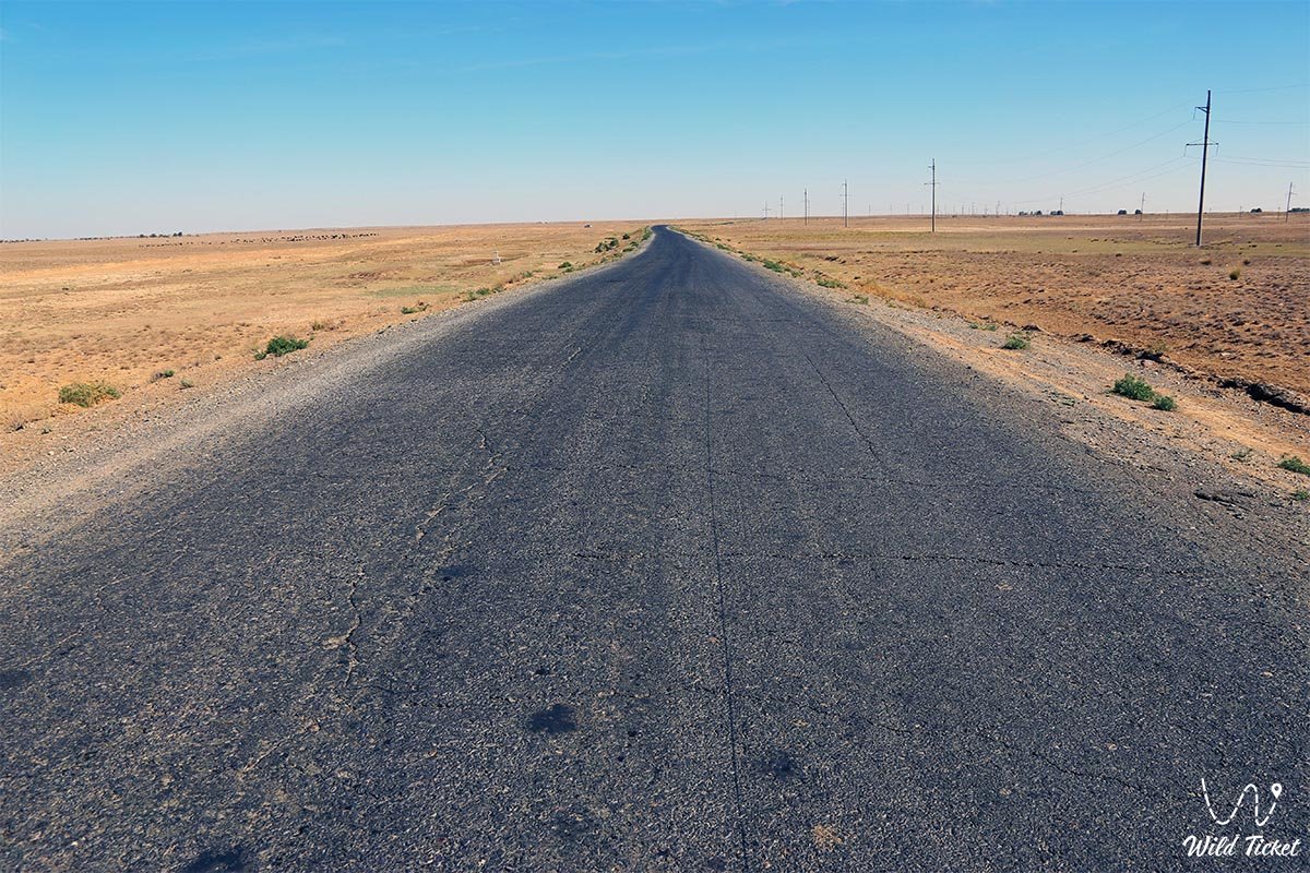
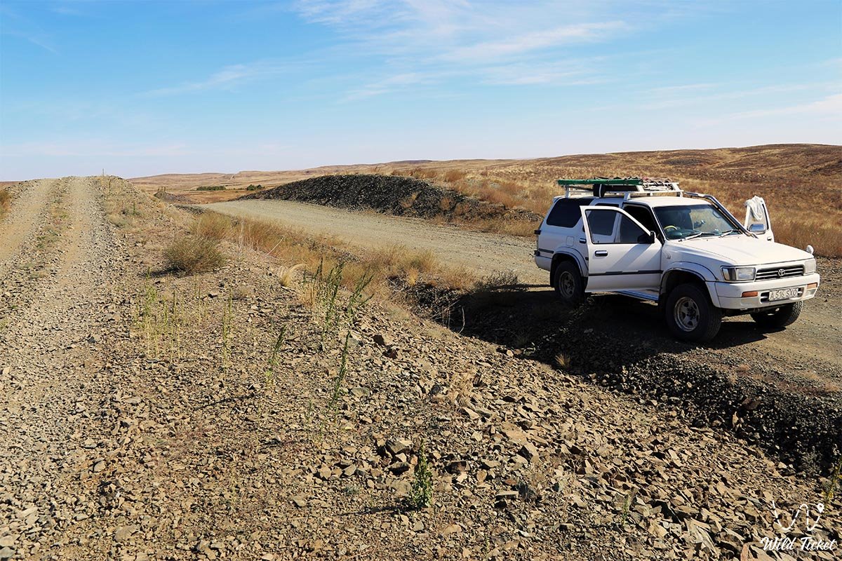
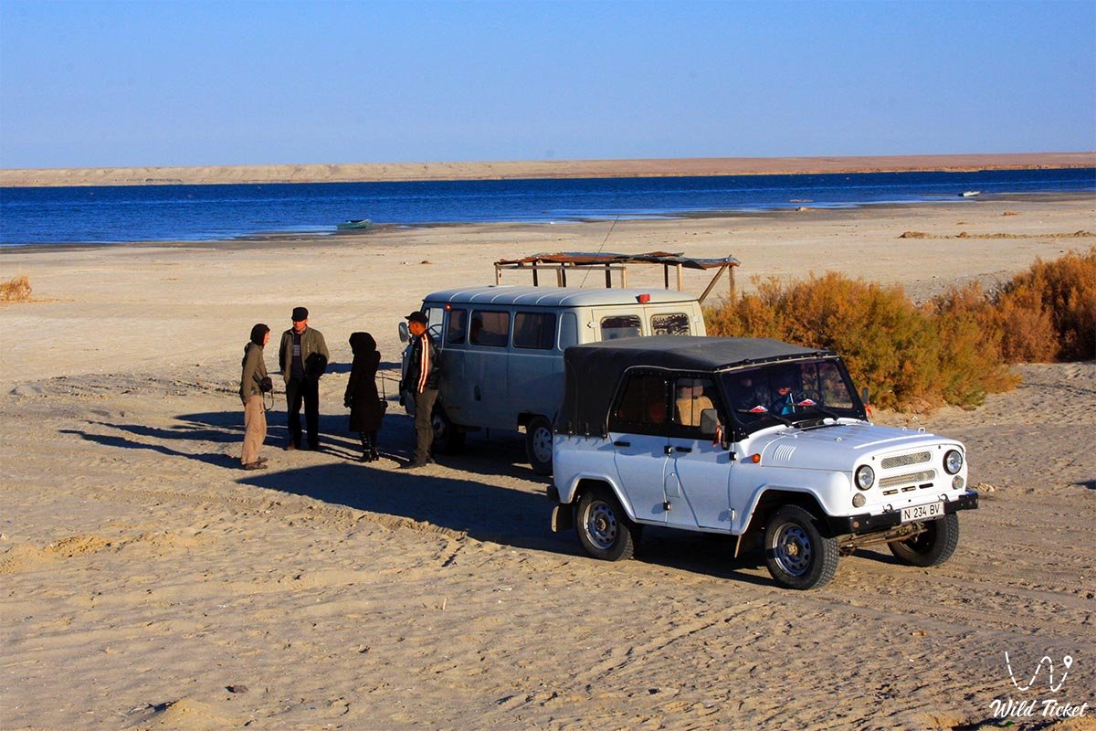
Travel between cities and district centers is comfortable along paved highways in any passenger car. However, for trips to the coast of the Small Aral, the Kokaral Dam, the sands of Kyzylkum, the ancient settlements of Jend and Chirik-Rabat, or to the Barsakelmes Nature Reserve, a prepared frame-based off-road vehicle (4x4) with high clearance, reinforced suspension, and all-terrain tires is required.
The primary hazard when driving off highways is posed by loose barchan sand drifts, deep salt-marsh quagmires (batpaks) beneath a hard crust, and the complex terrain of the dried-up channels of the Zhanadarya and Kuandarya. For expeditions across desert sectors, the presence of a two-car convoy, fuel reserves, satellite navigation, hi-lift jacks, compressors for airing down tires, and a supply of drinking water of no less than 5 liters per person per day is mandatory.
Visiting the city of Baikonur and the cosmodrome to watch rocket launches, visit the Museum of Cosmonautics, the cottages of Yuri Gagarin and Sergei Korolev, as well as the Buran orbital spacecraft requires prior arrangement of official permits and passes through accredited tour operators several weeks before the trip. List of sights in Baikonur.
The best season for travel is spring (April – May), when the tulips of Kazakhstan bloom and the steppe is blanketed in greenery, as well as early autumn (September – October). During summer months, daytime heat consistently exceeds +40 °C, while in winter sharp cold snaps with strong winds are possible.
Hotels and inns are concentrated in Kyzylorda, Baikonur, and Aralsk. Tourist lodges operate on the salt Lake Kamystybas (Kambash), sanatoriums are open in the balneological resort of Zhanakorgan, and tented field camps are popular in delta zones.
--------------------------------------------
History
In a historical context, the territory of the Kyzylorda region served as the ancestral home for clans of the Junior Zhuz (Alshyn – Alimuly and Baiuly, as well as Zhetyru) and the Middle Zhuz (Arghyn, Kipchak – Kulan-Kipchak, Qonyrat – Koktinuly Kotenshi, Naiman – Baganaly). In antiquity, the lower Syr Darya basin was the cradle of the Oguz State with its capital in Zhankent (Yangikent), as well as a key trade region where the cities of Jend, Sygnak, and Chirik-Rabat flourished.
Unique fortification and sacred monuments have survived here: the Beltam burial mound of the late 10th century, the medieval fortress of Sauran-Kamal (12th–16th centuries), the mausoleums of Sunak-Ata and Aitkozha-Aman, and the mosques of Aktas, Nogai, Nuraly, and Okushy-Ata. Of special spiritual significance is the Korkyt Ata memorial in the Karmakshy district, 17 km from Josaly village, where a 12-meter monument in the form of a singing organ kobyz is erected on a 9-meter pedestal on the bank of the Syr Darya in honor of the great 9th-century Turkic poet-singer and composer.
In the 19th century, the region was under the control of the Kokand Khanate, which erected the fortress of Akmeshit in 1820, renamed Fort Perovsk after its capture by the troops of General Perovsky. In Soviet times, the city became the first capital of Soviet Kazakhstan – Kzyl-Orda.
For centuries, the Syr Darya nourished ancient deltas, but in 1956 the river upstream from the city was dammed by the Kzyl-Orda hydraulic complex, and in 1958 waters were diverted along the channel of the Zhanadarya for large-scale irrigation of rice and pasture lands. Excessive water withdrawal led to the breakup of the unified Aral Sea in 1989 into the Small and Large Aral. The construction of the Kokaral Dam returned river runoff to the Small Sea, initiating the process of ecological revival.
Information
The Kyzylorda region possesses powerful industrial, fuel-and-energy, and agrarian potential. The energy sector is supported by four key power plants: Kyzylorda CHP-6, Kyzylorda GTES, Baikonur CHP, and Akshabulak GTES.
Rich hydrocarbon and mineral resources are concentrated in the region's subsoil: the Kumkol, Doshan, and Akshabulak oil fields are actively exploited. In the Shieli district, since April 2009, a joint Kazakh-Chinese venture has been developing the major "Irkol" uranium deposit using the eco-friendly method of in-situ borehole leaching. The strategic Beineu – Bozoi – Shymkent trunk gas pipeline, with a length of about 1.5 thousand kilometers and an investment value of 3.6 billion US dollars, passes through the territory of the region, multiplying the supply of natural gas to the region and securing exports to the Kazakhstan – China gas pipeline.
In the food and processing industries, the flagships are the salt mining giant "Araltuz" at Lake Zhaksykylysh and the "Aralbalyk" fish processing combine. The region cultivates the bulk of Kazakh rice, and in the Aral district fish processing plants are reviving thanks to the stabilization of the Small Aral. Balneological resources are represented by healing silt muds and brine of Lakes Kupek, Teresken, and the sanatoriums of Zhanakorgan.
Detailed description of the venue
The tourist and natural-historical potential of the Kyzylorda region is represented by unique points of attraction:
• Baikonur Cosmodrome – a legendary space complex covering an area of 6,717 sq. km with launch pads, a museum of cosmonautics, assembly buildings, and the historical cottages of Yu. A. Gagarin and S. P. Korolev.
• Korkyt Ata Memorial Complex – a monumental architectural ensemble near the Syr Darya River close to Josaly with a stele-kobyz, an amphitheater, and an underground museum.
• Ancient settlements of Sygnak, Zhankent and Chirik-Rabat – ancient capitals and trade hubs featuring adobe bastions, citadel excavations, and caravanserais.
• North (Small) Aral Sea – a recovering marine water body with commercial fisheries and the Kokaral Dam.
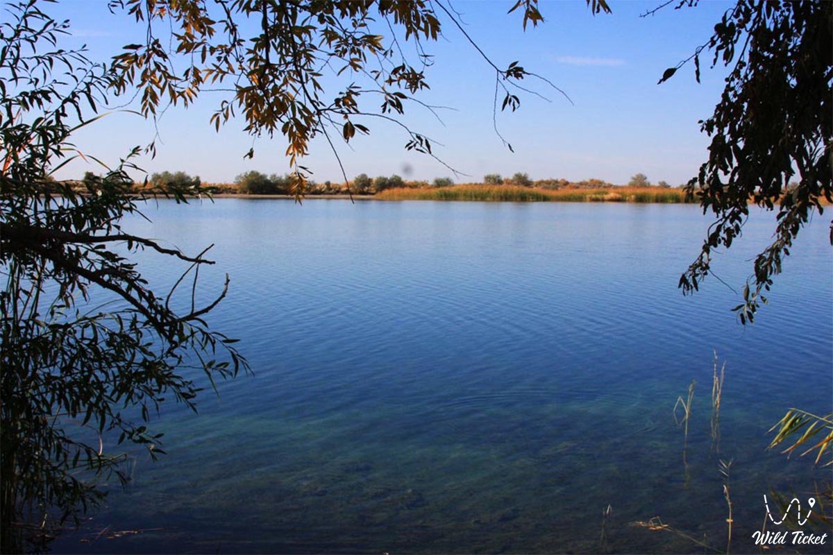
• Salt Lake Kamystybas (Kambash) – a picturesque lake surface with sandy beaches and tourist recreation centers.
• Salt lakes Zhaksykylysh, Kupek and Teresken – natural salt basins and sources of therapeutic mineral muds.
• Barsakelmes State Nature Reserve – a biosphere reserve ("if you go on this path, you will not return"), protecting relict steppe ecosystems.
• Kyzylkum Desert and Aryskum sand ridges – vast expanses of golden dunes for jeep tours and camel safaris.
• Beltam Burial Mound – a funerary and cultic steppe monument dating to the late 10th century.
• Syr Darya Floodplain and tugai forests – linear floodplain thickets, delta channels, and protective levees along the river.
Flora and fauna
The vegetation of the region is clearly differentiated across landscape zones. Hummocky sands are stabilized by white and black saxaul, tamarisk, teresken, biyurgun, dzhuzgun, astragalus, and wormwood. On consolidated sand areas, wormwood-fescue and saltwort vegetation develops, succeeded in spring by lush ephemerals on brown and sierozem sandy loams. Alluvial-meadow saline soils with tugai forests of Asiatic poplar (turanga), narrow-leaved oleaster (jida), and willow are developed in the Syr Darya floodplain, while impenetrable reed beds sway in the delta and along lakes.
The animal kingdom is rich in rare and valuable species. Herds of saiga antelopes inhabit the desert, alongside predators: the corsac fox, steppe wolf, and badger. The Barsakelmes State Nature Reserve protects a key population of the Asian wild ass – the Turkmenian kulan (the reserve numbers around 140 individuals), as well as goitered gazelles. Wild boars, muskrats, pheasants, and sandgrouse live in the tugai thickets of the floodplain.
Domesticated two-humped camels (Bactrians) grazing against the backdrop of barchans lend a distinctive character to the steppe. The fish fauna of the Syr Darya and lakes is famous for an abundance of pike, wels catfish, common carp, pike perch, bream, and asp.
Climate
The climate of the region is sharply continental and extremely arid, featuring a long, dry, hot summer and a comparatively mild, short winter with little snow. The average July temperature ranges from +25.9 °C in the northwest to +28.2 °C in the southeast, and January temperatures from -9.8 °C to -3.5 °C respectively. At the same time, the coast of the Aral Sea receives the least amount of precipitation in Kazakhstan – about 100 mm per year, increasing only in the foothills of the Karatau to 175 mm.
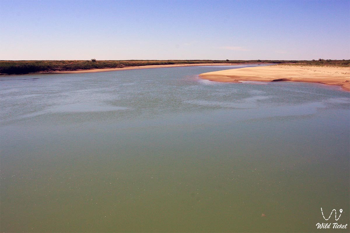
The primary and only arterial waterway is the Syr Darya River, traversing the central part of the region from southeast to northwest for nearly 1,000 kilometers (out of its total Kazakhstani length of 1,753 km).
Legend
The name of the legendary sage, storyteller, and philosopher Korkyt Ata is inextricably linked with the Syr Darya land. Legend has it that Korkyt fled from inevitable death his entire life, wandering across the world, but in every land he saw people digging him a grave. Realizing that earthly paths are finite, the sage returned to the banks of the Syr Darya, spread a carpet upon the river waves, and began playing the world's first kobyz.
Korkyt's magical kuys conquered decay: as long as the enchanting music flowed, death dared not approach, the river waters stood still in reverent awe, desert beasts gathered near the water, and birds froze in flight. Only when the exhausted elder closed his eyes did a venomous snake bite him, taking his body but leaving his immortal soul as the eternal guardian of the steppe realm.
Another legend shrouds Barsakelmes Island, whose name translates as "you go, you will not return." Elders spoke of mysterious temporal anomalies on the island, where travelers who lingered for merely a few days returned to their native auls as very old men, discovering that decades had passed in the human world.
Conclusion
The Kyzylorda region is a unique crossroads of epochs, where the sacred wisdom of steppe thinkers, the grandeur of medieval silk caravans, the tragedy and triumph of the Aral Sea's revival, and humanity's monumental leap into the Universe from the Baikonur Cosmodrome are harmoniously intertwined.
A journey across the expanses of Kyzylorda offers unforgettable contrasts: from Martian landscapes of salt marshes and Kyzylkum dunes to wellness at the salt lakes of Zhanakorgan and witnessing space rocket launches, affirming the inexhaustible wealth and fortitude of the Syr land.
Interesting sights of the region:
• Baikonur Cosmodrome and the Museum of Cosmonautics;
• Korkyt Ata Memorial Complex;
• Medieval Settlement of Sygnak;
• Ancient Settlement of Zhankent (Yangikent);
• Ruins of the cities of Jend and Chirik-Rabat;
• Sauran Fortress;
• North Aral Sea and Kokaral Dam;
• Lake Kamystybas (Kambash);
• Barsakelmes State Nature Reserve;
• Zhaksykylysh Salt Lake ("Araltuz");
• Sunak-Ata Mausoleum and Aitkozha-Aman Mausoleum;
• City of Aralsk and Museum of Fishing;
• 10th-century Beltam Burial Mound;
• Korkyt Ata Mausoleum near Josaly village;
• Kupek and Teresken Salt Lakes;
• Irkol Uranium Deposit;
• Kumkol Oil Field;
• Zhanakorgan Balneological Resort;
• Aktas, Nogai, Nuraly, and Okushy-Ata Mosques.
Photogallery: