Traveling in the Kostanay Region -
Kostanay Region is an administrative-territorial division of the Republic of Kazakhstan. The region was founded on July 29, 1936, on the basis of the former Kostanay and Torgai Governorates. The regional center is Kostanay (founded in 1879). The territory is 196,000 square kilometers.
Geographical Position
The northwest and north of Kostanay Region border the Orenburg, Chelyabinsk, and Kurgan Regions of Russia, the North Kazakhstan, Akmola, and Karaganda Regions of Kazakhstan, and the Aktobe Region to the southwest.
Topography of Kostanay Region
The region's territory is mostly flat. Due to its north-south extent (740 km), it consists of various physical and geographic regions:
• the Ural subsoil on the western side (250-400 m);
• the southern part of the West Siberian Lowland (150-200 m) in the north;
• the southern part of the Turgai Plateau (250-300 m);
• the western part of Saryarka (450-500 m) in the extreme southeast.
The Ural suburbs are mainly concentrated in the east, north near the Golden Horn, and south of the Tobol River in the upper valley. In the southern part, there are isolated hills (Zhitikara, 414 m, etc.).
The southern slope of the West Siberian Basin is the Kostanay Plain, the Ugandan-Esil Waterfall, and the Ishim Plain with its lake basins.
The northern part of the Torgai Plateau in the south of the region encompasses the northern part of the Torgai Plateau (Lake Kushmurun, from Lake Kushmurun to the Tobol River), the middle part of the Sipmynash Plateau, and the middle part of the Turgai Plateau, bounded by the Ulkeyek, Stena, Teke, and Sarysu Rivers. Waterfalls here include the Kargalatau (310 m), Teke (262 m), Kyzylbota (219 m), and Saryadyr (360 m) mountain ranges, as well as the northwestern Kurgan Mountains. The southern Turgai Plains, an extension of the Turgai Plateau, cover the southern part of Lake Sarykobe. It is surrounded by the Torgai and Velikoslav Rivers.
One of the distinctive features of the region is the Torgai Valley, 700 km from the Tobol River, encompassing the Torgai, Saryozen, and Obagan valleys from the far northwest to the north.
The highest part of the region is Saryarka, part of a hill. There are numerous mountain hills here, including Karakhs (397 m), Kokshetau (478 m), and Kaindshoki (569 m).
Subsoil
Kostanay Region is rich in mineral resources. It contains magnetite and oolitic iron ores, bauxite, gold, nickel, asbestos, brown coal, building materials (cement, fluxing limestone), dolomite, fireclay, ceramic and brick mud, glass sand, granite, diorite, sandstone, and others.
Climate
The region's climate is sharply continental. Winters are cold and harsh, with average January temperatures of -18-19°C in the north and 16-17°C in the south.
Summers are quite hot, with average July temperatures of 19-20°C. In some years, they reach 35-40°C.
Average annual precipitation ranges from 300 mm to 170 mm from north to south, with 70-75% of precipitation occurring annually.
The region experiences drought. Over the past 50 years, droughts have recurred 3-4 times every 10 years.
Soil
The Kostanay region is located on three major soil zones:
• The northern part is covered by black soils, and the southern part by gray soils;
• Black-brown-pink soils are favorable for agriculture and livestock farming in the northern and central parts of the region.
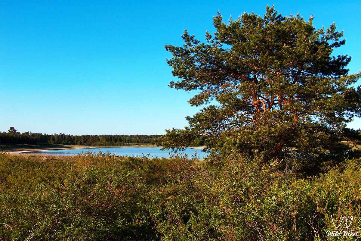
Forest Belt
The northern part of the Kostanay region is occupied by the forest belt. The forests consist mainly of mixed birch shrubs. In some areas, they form a birch forest zone, covering a significant area. The steppe belt consists of various grasses, with the dry steppe belt primarily consisting of oat-grass grasses mixed with various grasses. Birch trees and shrubs predominate in the sandy soils of the steppe and dry steppes of the Nauryz-Karagay forests. In 1930, a state nature reserve (the Nauryz-Karagay Nature Reserve) was established on the basis of the Nauryz-Karagay shallows.
Fauna
The region's fauna is diverse. Predatory animals include wolves, foxes, corsac foxes, mare's tongue, rabbits, and sand mice. Saiga antelopes and antelopes are common in the forest steppes.
There are many bird species in the region.
Water Supply
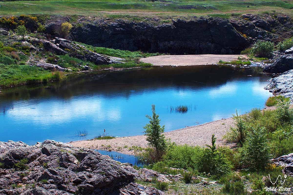
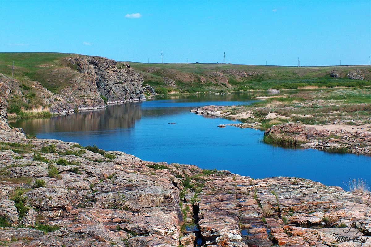
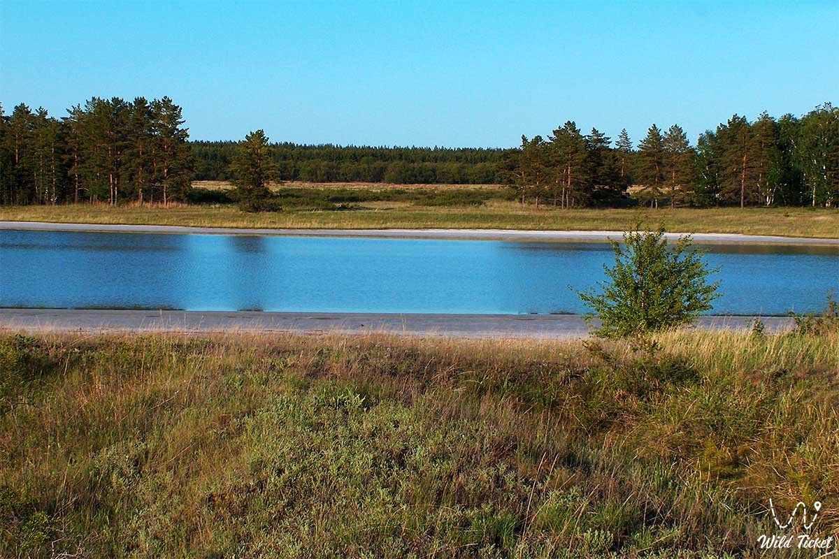
The Kostanay region is rich in rivers and lakes. The Tobol, Torgay, and Velikaya Slava Rivers.
The rivers belonging to the Tobol River basin (Khaus, Toguzak, Aitet, Zhelkuvar, and Shortandy) originate in the suburbs of the Urals, while the Obagan River originates in the center of the Turgay branch.
Numerous dams and irrigation systems have been built on the Tobol and Torgay rivers and their fields. Groundwater is available throughout the region, concentrated in sandy-clayey sediments.
Agriculture
Kostanay Region is the largest grain and livestock producer in Kazakhstan. It accounts for approximately 18% of the country's cropland and 13% of its cattle.
The total agricultural land area is 19.6 million hectares.
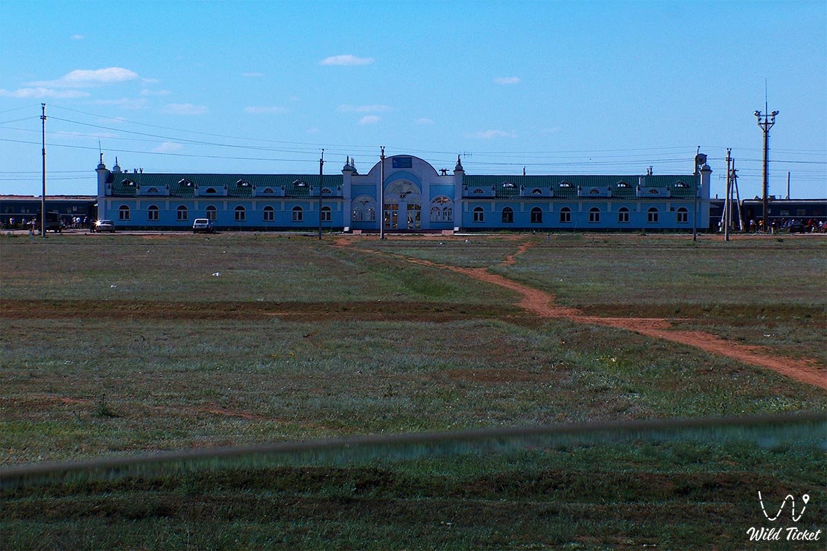
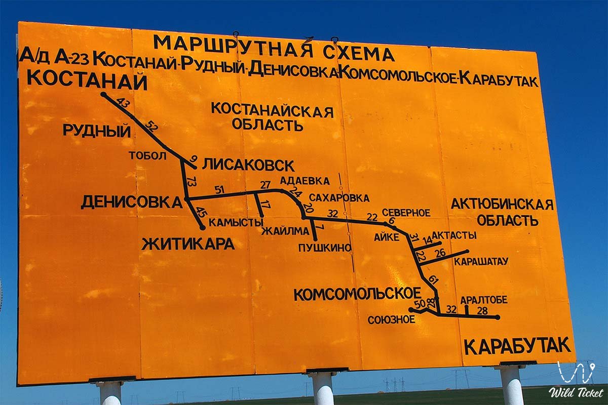
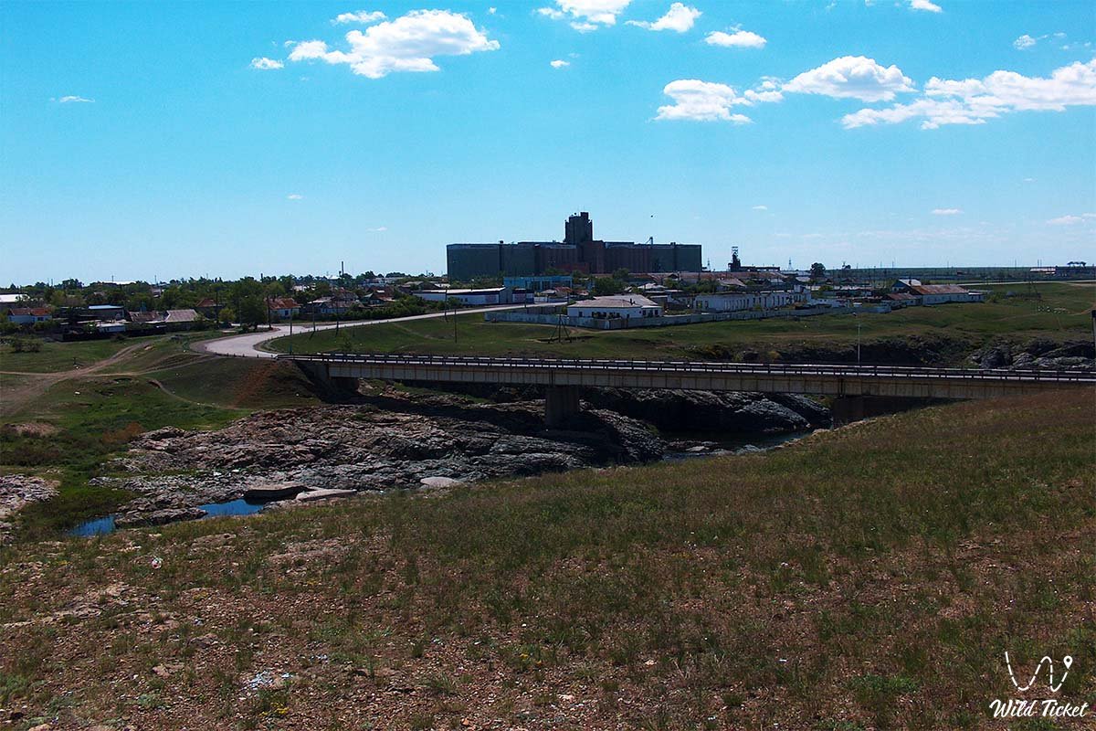
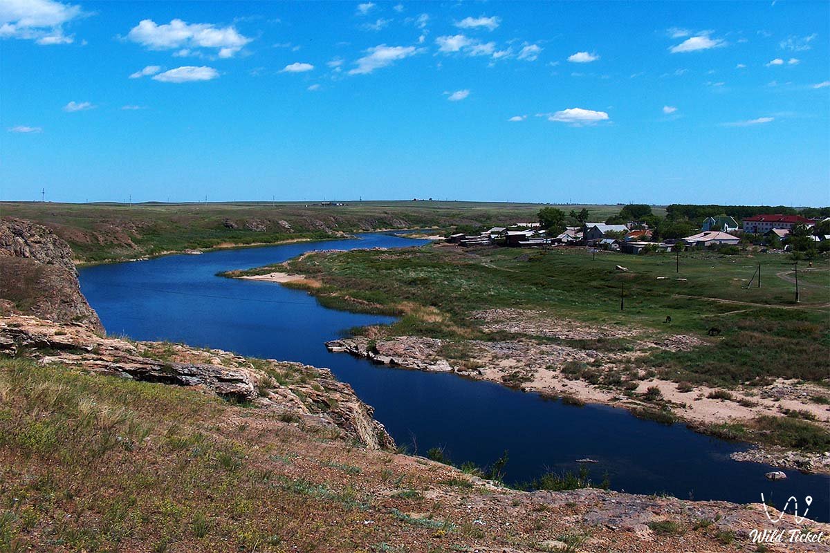
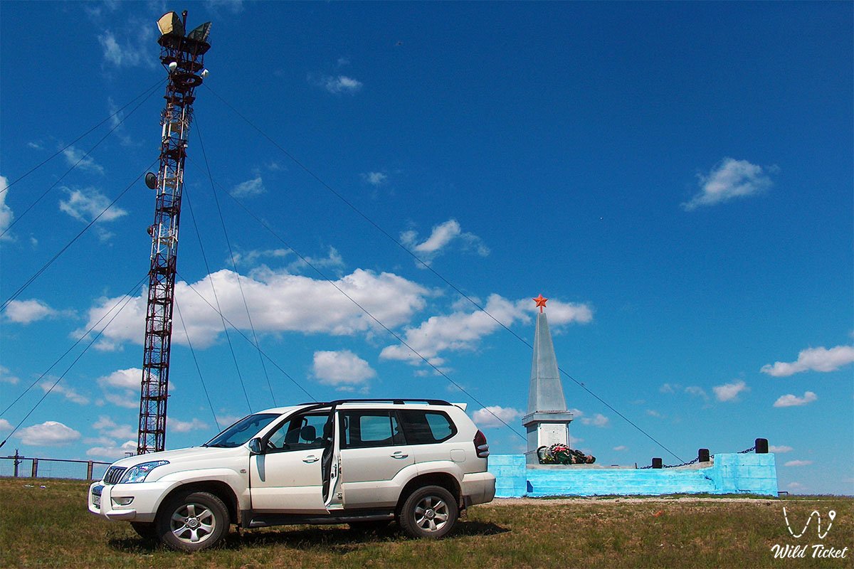
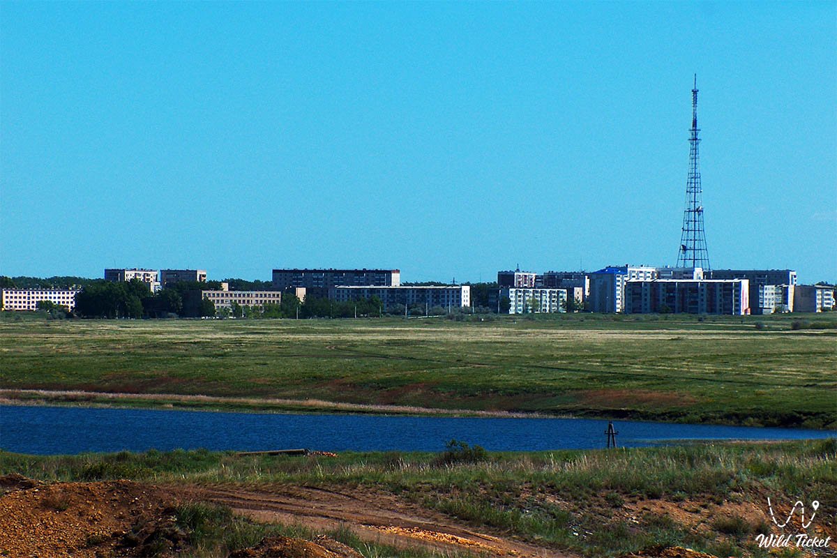
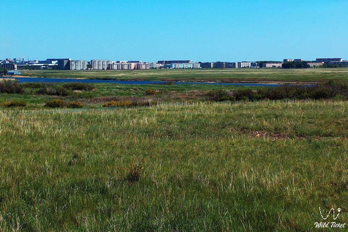
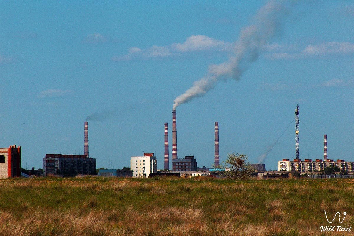
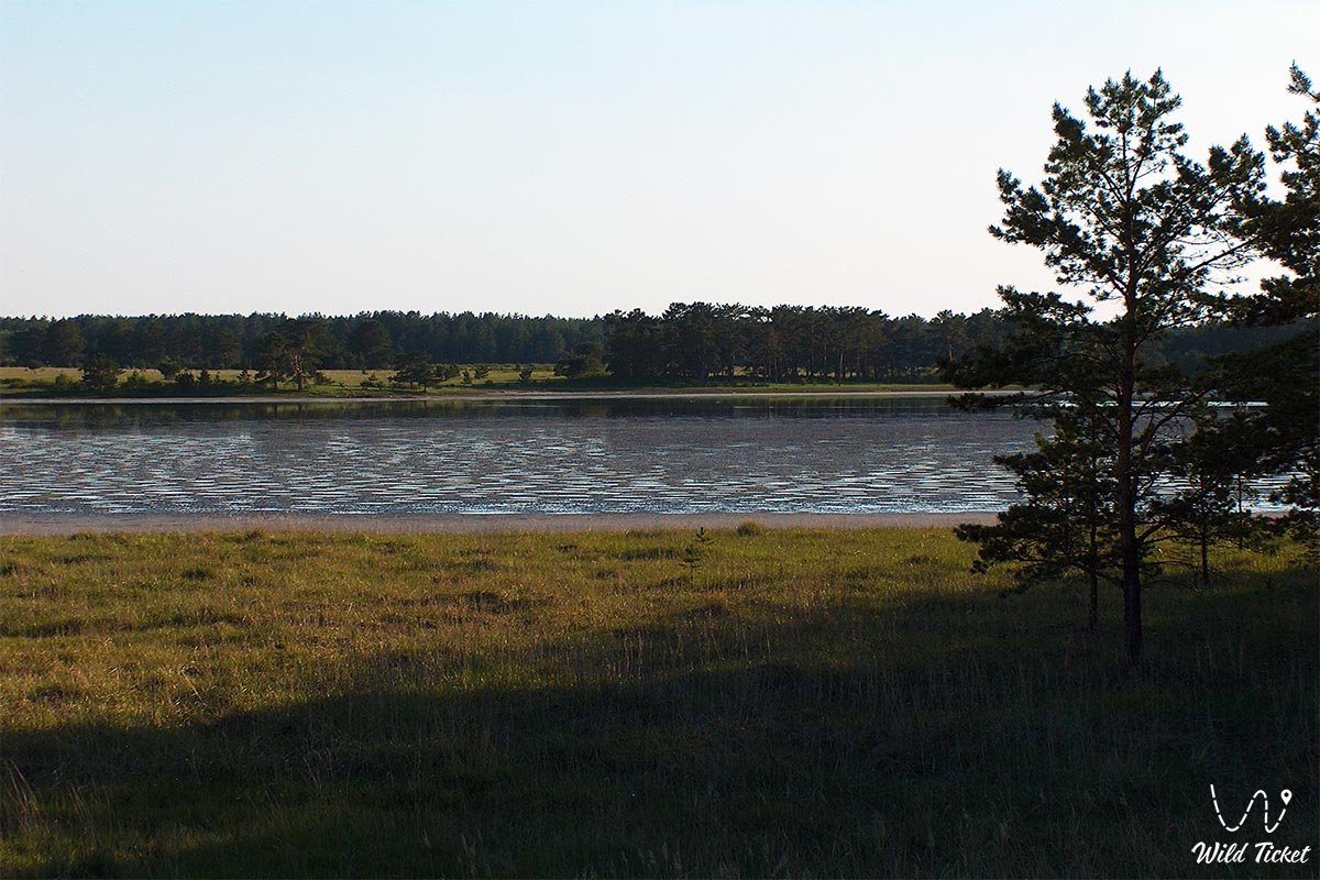
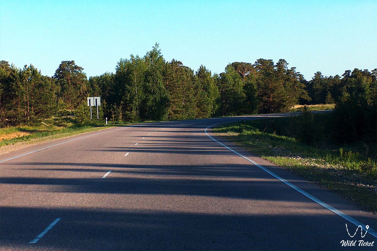
Photogallery: