Geographical region of planetary transformations and the cradle of nomadic civilization -
The Kazakhstan Aral Sea Region (Priaralye) represents a vast historical, geographical, and natural region adjacent to the basin of the Aral Sea. The term "Priaralye" itself was first actively used by Russian geographers back in the 18th century to designate the extensive arid lands around the great endorheic lake-sea.
Within the borders of modern Kazakhstan, the region is structurally divided into two key sectors: Northern Priaralye, covering the southern edge of the Aktobe region (Shalkar district), and Eastern Priaralye, including the right-bank and left-bank districts of the Kyzylorda region (Aral, Kazalinsk, Karmakshy, as well as Zhalagash and Syrdarya districts) along the lower reaches of the Syr Darya River. The world-famous Baikonur Cosmodrome is located on the territory of Eastern Priaralye.
This strategic subregion of Central Asia serves as a clear example of global interaction between humans and the biosphere, where the harsh sand-and-salt elements combine with unique projects for the restoration of the aquatic ecosystem of the North (Small) Aral Sea.
Geographically, the Kazakh sector borders the Ustyurt Plateau to the west, the sand masses of the Aral Karakum Desert, the Big and Small Barsuki Deserts to the north and northeast, as well as the arid plains of the Kyzylkum Desert to the southeast.
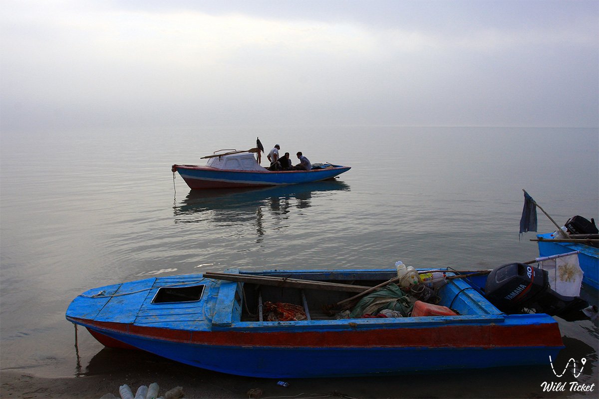
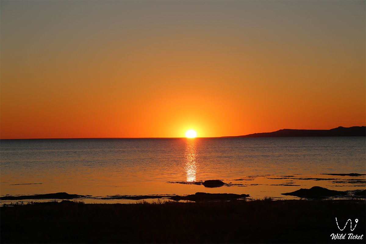
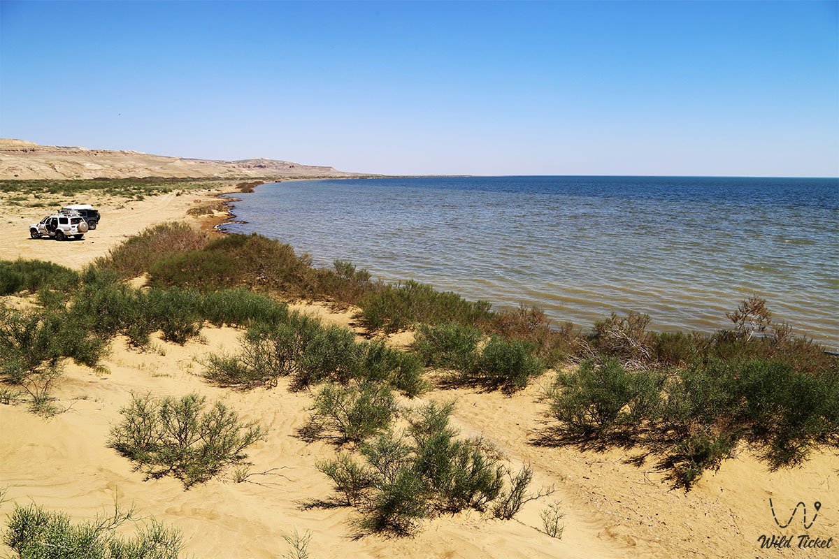
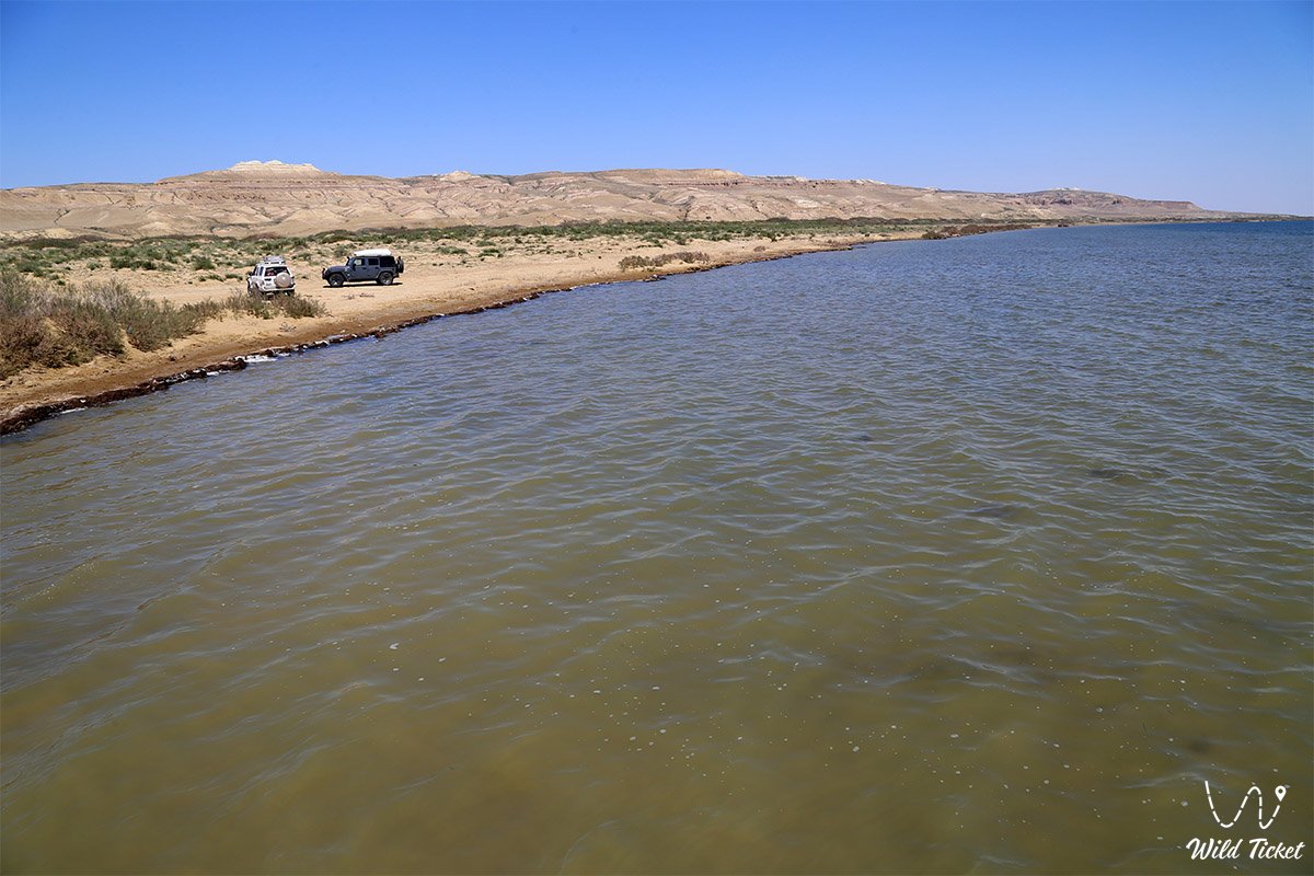
In the center of the territory lies the basin of the Small Aral, saved thanks to the erection of the monumental Kokaral Dam in the Berg Strait, which allowed retaining the runoff of the Syr Darya and returning water to the shores of the historic fishing region.
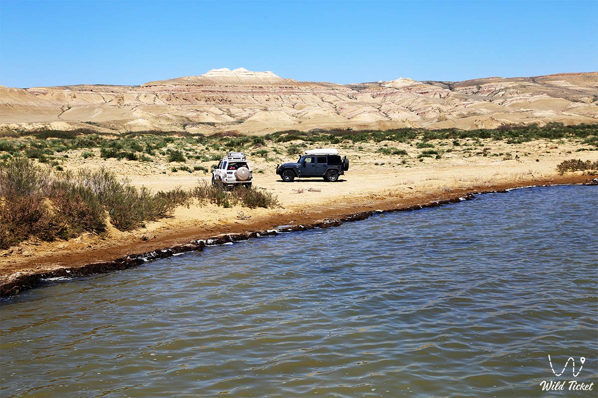
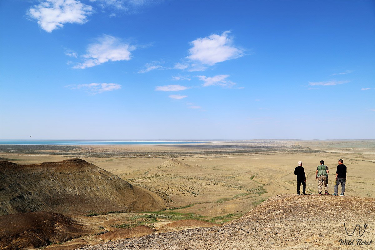
Priaralye in Kazakhstan attracts limnologists, ecologists, paleontologists, and proponents of autonomous 4x4 expeditionary auto-tourism. The exposed seabed, transformed into the young Aralkum Desert, borders ancient delta oases, rich thermal springs, relict lakes of the Kamystybas (Kambash) system, and protected areas of the state natural Barsakelmes Reserve.
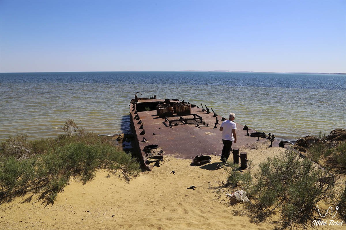
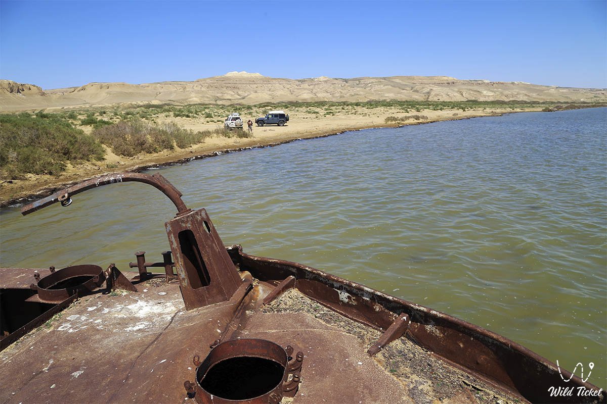
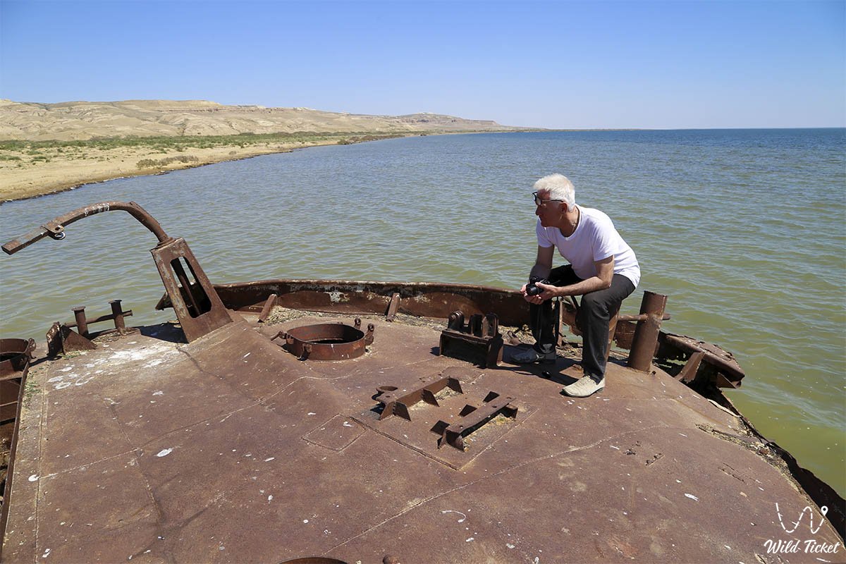
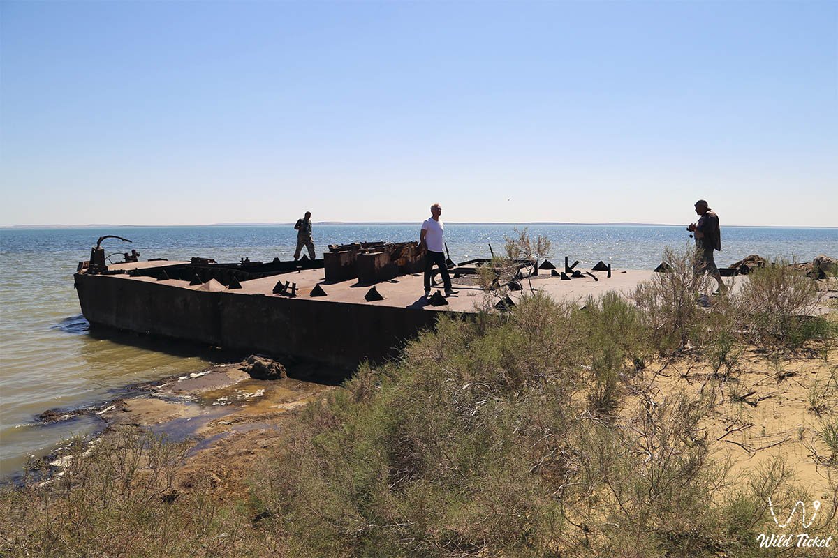
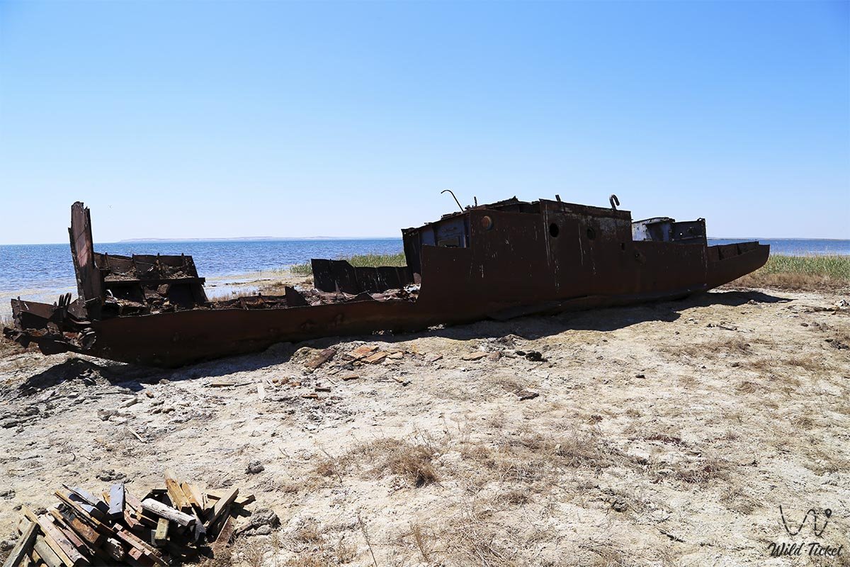
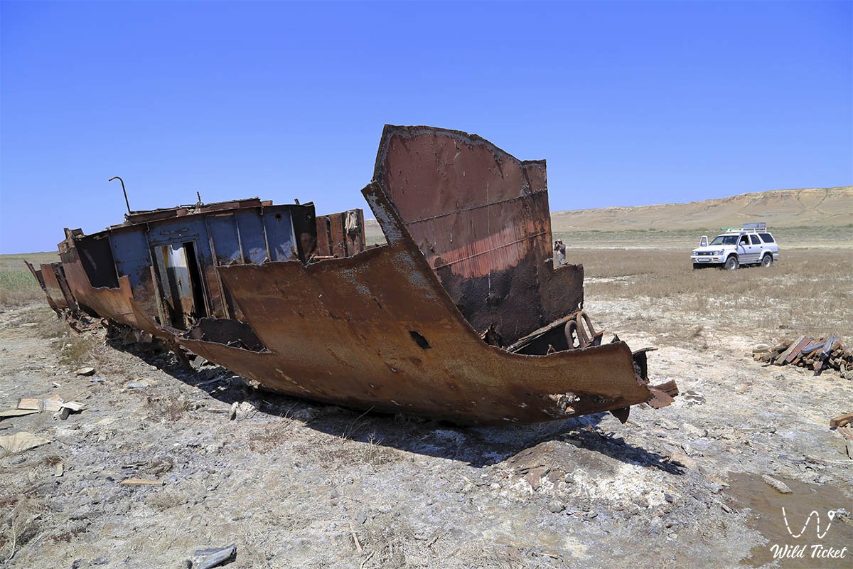
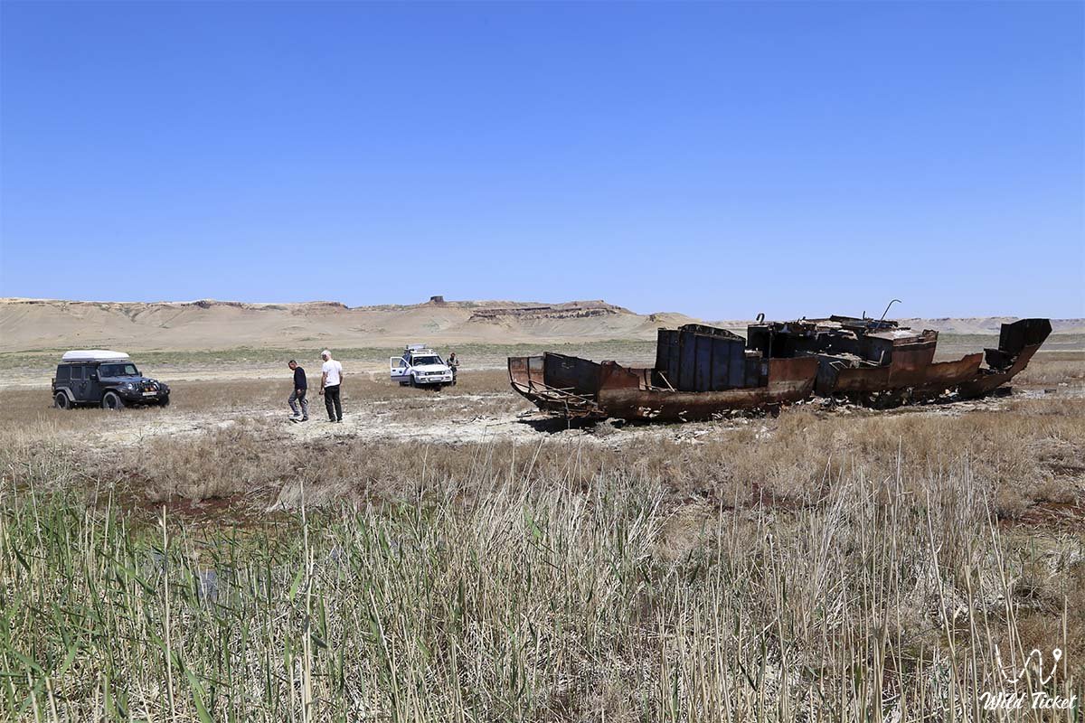
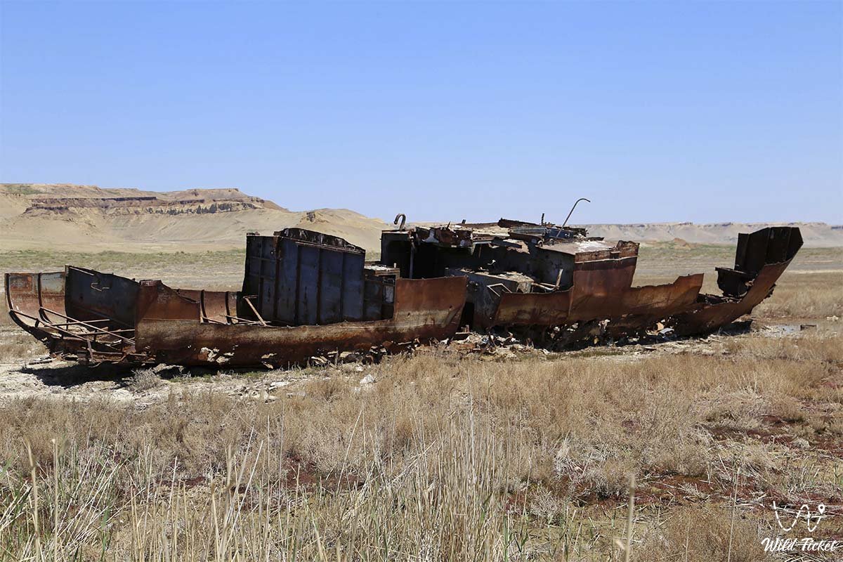
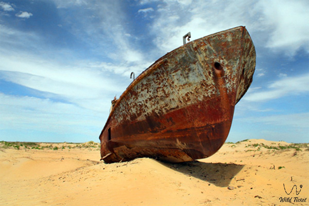
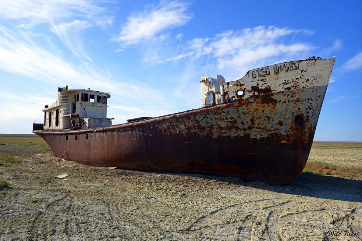
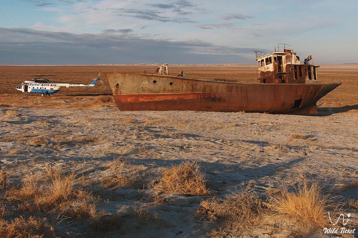
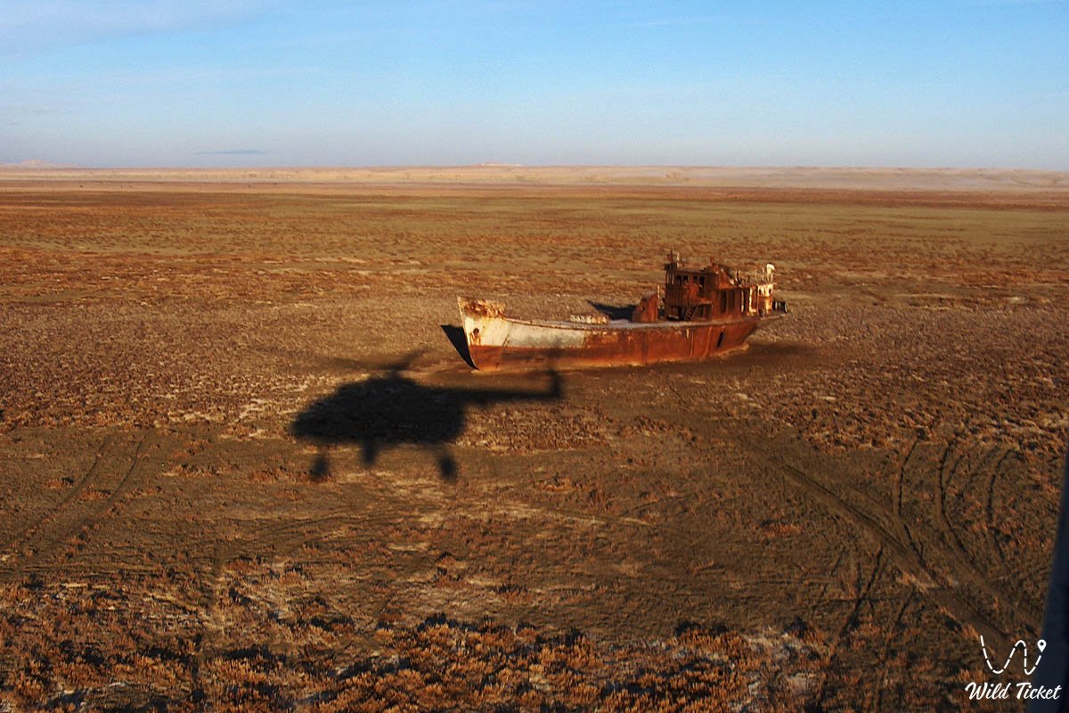
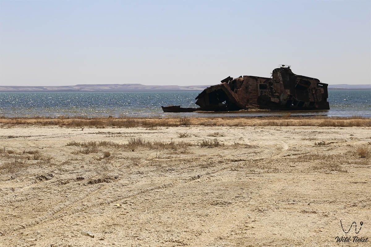
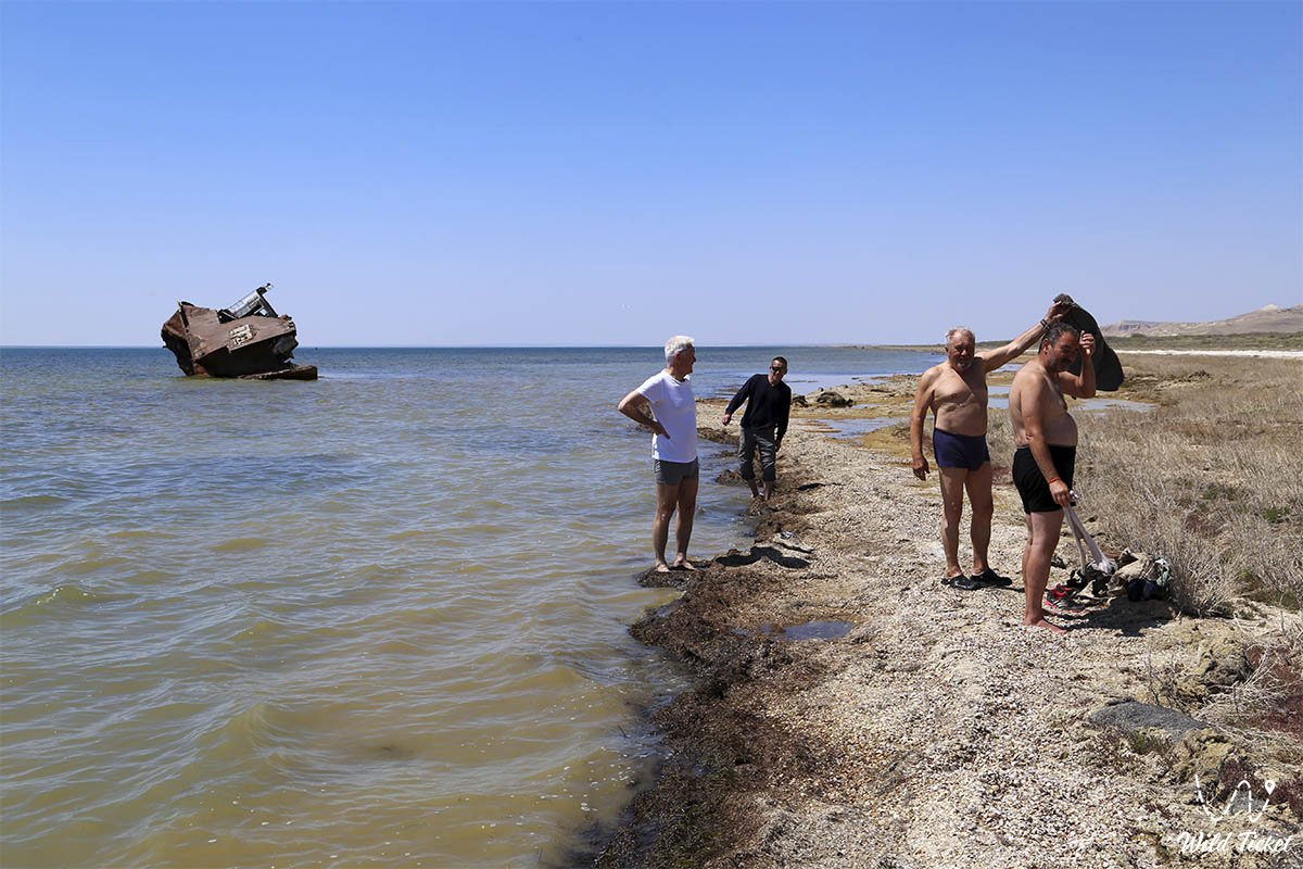
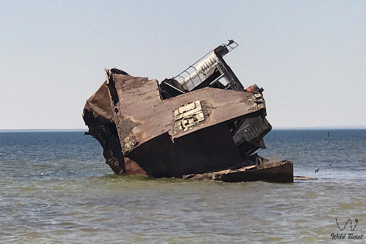
Travelers head here to witness surreal panoramas of the retreated sea, legendary moorings of abandoned ships, explore the ruins of medieval settlements that rose from the bottom of the reservoir, and touch centuries-old traditions of the sacred history of nomadic tribes.
--------------------------------------------
How to get there and visit -
The Kazakh sector of Priaralye covers the northern and eastern parts of the Aral basin. The main transport gateways and starting points for journeys around the region are the city of Aralsk, the regional center Kyzylorda, the city of Baikonur, as well as railway hubs Kazalinsk (Ayteke Bi village), Saksaulskaya station, and the town of Shalkar from the side of Aktobe region.
GPS geographical coordinates: 45°53'29"N 59°34'28"E
Logistics within the region are clearly divided into two zones. Along the "Western Europe – Western China" international highway and the mainline railway, comfortable year-round travel is available by passenger cars and trains. However, routes into the interior of the Small Aral coast, to the Kokaral Dam, Kulandy Peninsula, salt lakes, and into the Aralkum Desert are completely devoid of paved roads and require serious autonomous preparation.
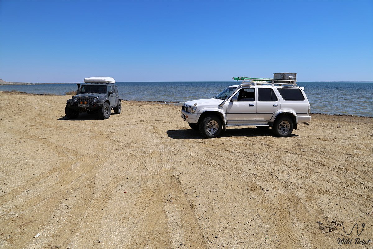
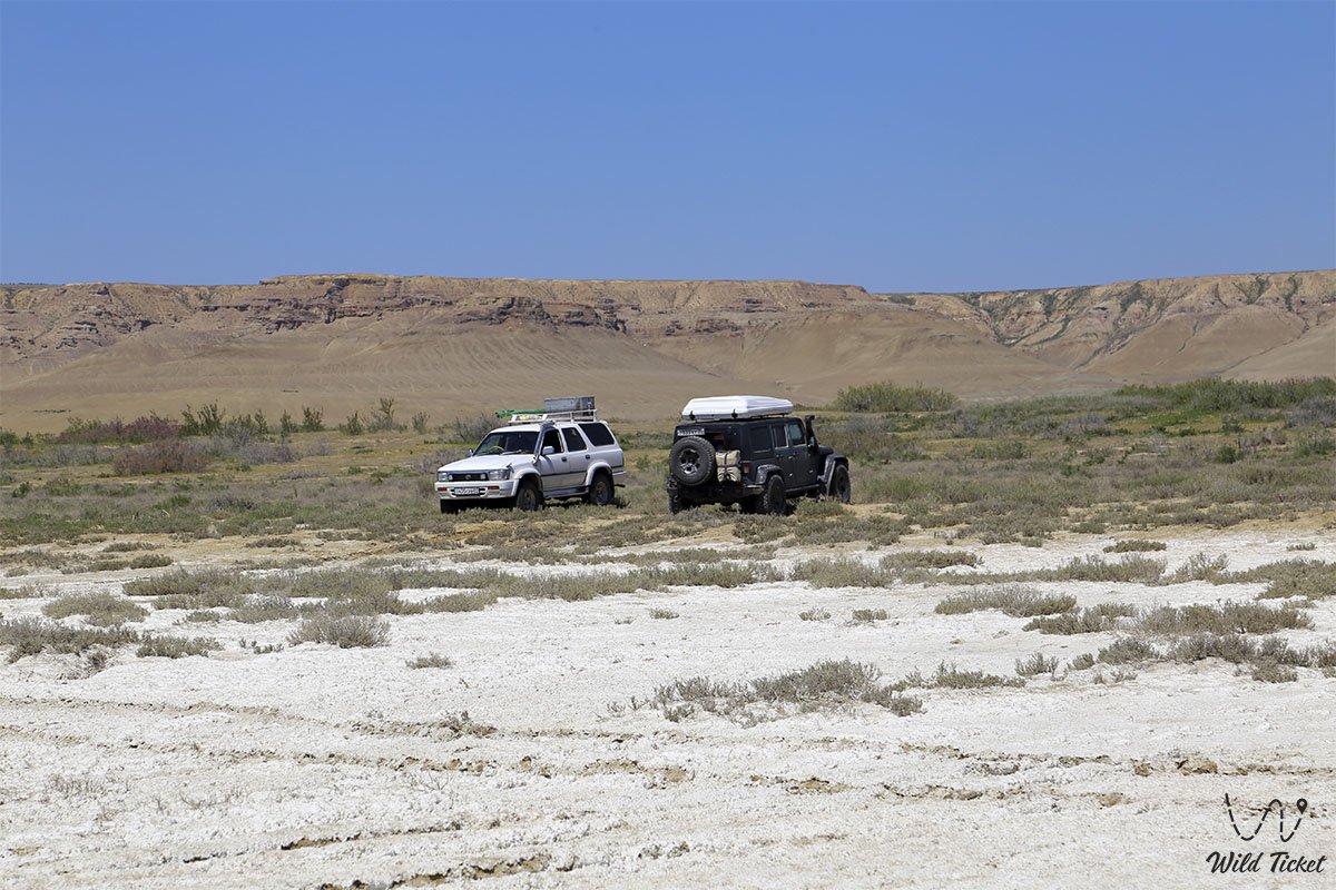
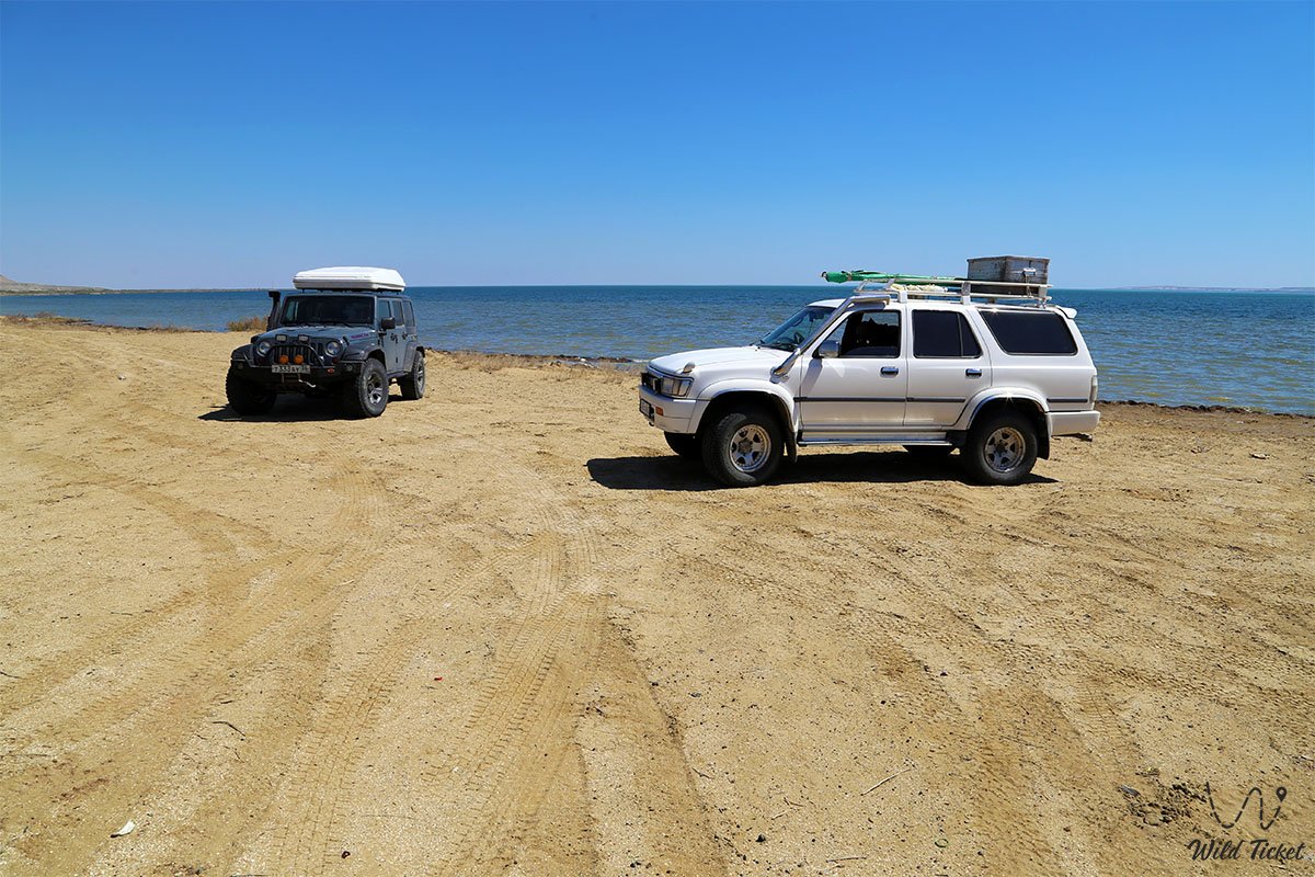
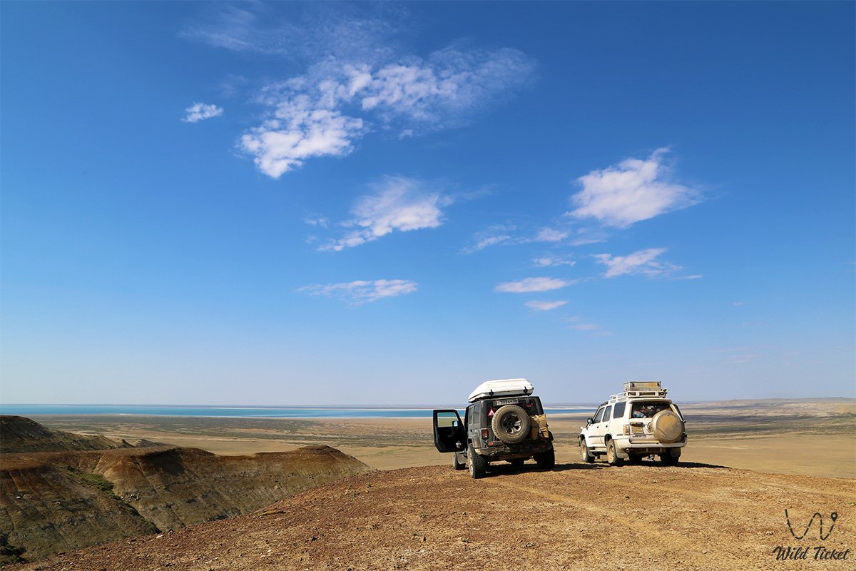
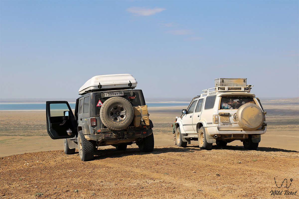
For reliable travel across the wild expanses of Priaralye, a sturdy frame-based off-road vehicle (4x4) with high ground clearance, reinforced suspension, and all-terrain tires is essential. The primary danger when driving off graded dirt tracks is posed by loose sand drifts, shifting sections of barchans, and treacherous salt-marsh quagmires (batpaks) hidden beneath a thin white crust of salt.
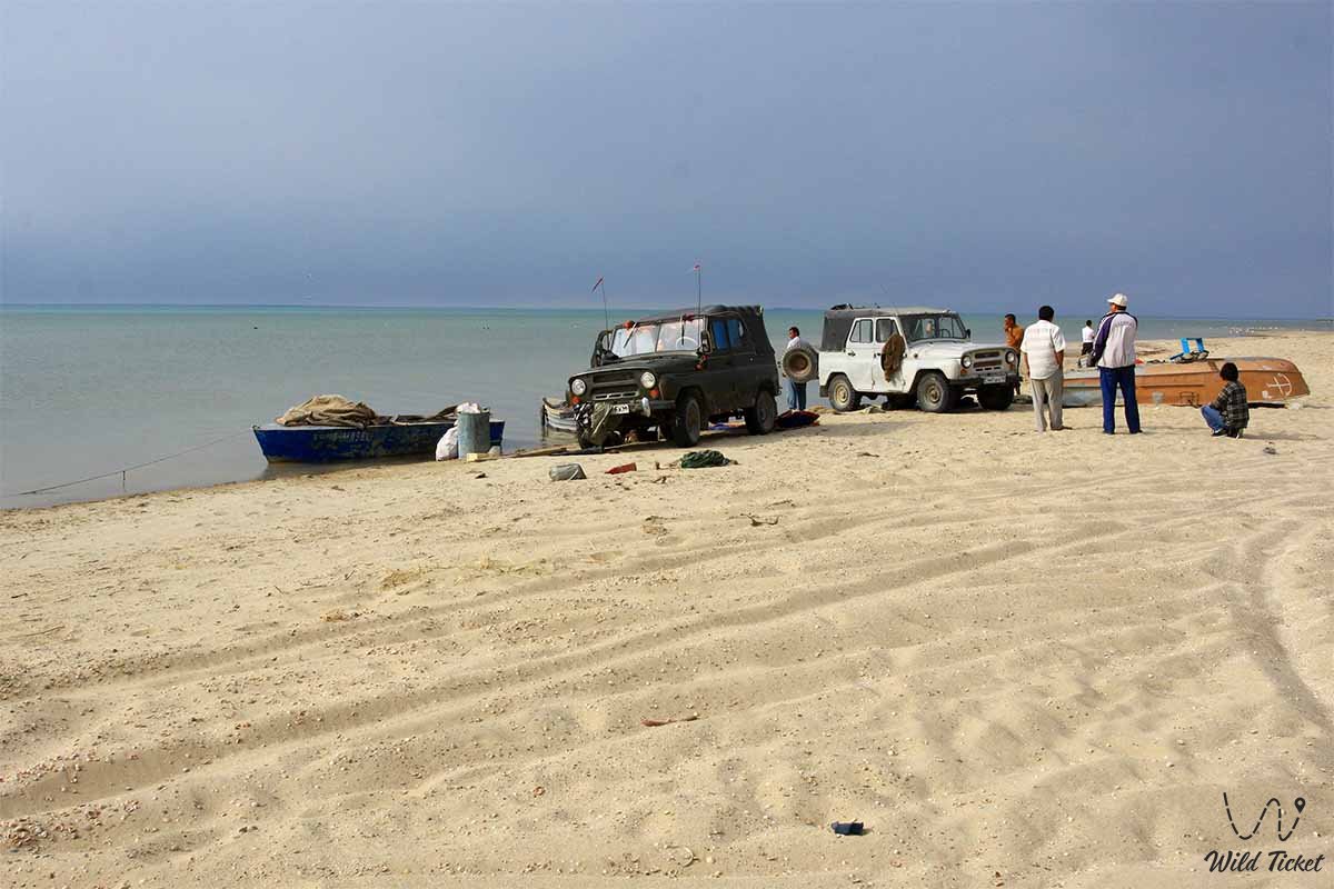
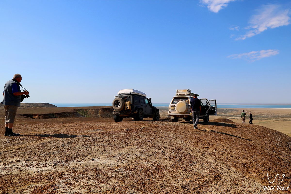
Excursions onto the drained seabed and to remote coastal auls (Karateren, Akbasty, Tastubek, Akespe) are recommended to be carried out in a convoy of at least two vehicles. Vehicles must be equipped with satellite communications, GPS navigators, tire compressors, dynamic tow straps, sand tracks, entrenching tools, a fuel reserve for several hundred kilometers, and an ample supply of fresh drinking water.
The optimal time to visit Kazakhstan Priaralye is the spring season (April – May), when the steppe blooms with tulips, and early autumn (September – October). In summer months, air temperatures in open areas often exceed +40°C, humidity drops to a minimum, and dust storms carry salty suspension. In winter, the region is gripped by frosts down to -20...-25°C accompanied by strong gale-force winds.
Tourist infrastructure is developed in Aralsk, Baikonur, and Kyzylorda (hotels, cafes, museum complexes), whereas in coastal auls overnight stays are arranged in guest houses with local residents or in self-sufficient tent camps on the shores of lakes and bays.
--------------------------------------------
History
The history of Kazakhstan Priaralye is a chronicle of changing great epochs, caravan routes, and large-scale ecological upheavals. Since ancient times, the Syr Darya delta (in antiquity – the Jaxartes River) was a center of irrigated agriculture, pastoralism, and trade. Northern branches of the Great Silk Road ran through this region, connecting the oases of Central Asia with the Volga region and the steppes of Eurasia.
During the Middle Ages, the Aral Sea repeatedly changed its outlines. On the exposed bottom of the modern sea, archaeologists discovered traces of developed Golden Horde settlements, such as the Aral-Asar settlement and the 14th-century Kerderi necropolises, proving that the sea had already grown shallow in past epochs and subsequently returned to its natural shores.
In the mid-19th century, with the founding of Raim Fort in 1847 and Fort Aralsk in 1853, active navigation began: the first military and research steamships of the Aral Flotilla were launched under the command of Alexei Butakov, in whose expeditions Taras Shevchenko took part.
In Soviet decades, Priaralye turned into a powerhouse of the fishing and salt industries. The city of Aralsk became a major sea port with an advanced fish cannery ("Aralbalyk"), ship repair workshops, and salt mining operations ("Araltuz" in Zhaksykylysh village).
However, large-scale water diversion for the irrigation of Central Asian cotton fields starting in the early 1960s led to dropping sea levels and the drying up of delta river branches. By 1989, the unified water area finally split into the North and South Aral.
A fateful milestone for the Kazakh sector was the construction of the Kokaral Dam in 2005 under the SYNAS project (Syr Darya Control and Northern Aral Sea project). This hydraulic engineering structure made it possible to raise the level of the North Aral, lower water mineralization, and revive the region's fishing industry.
Information
Modern Kazakhstan Priaralye is enduring the aftermath of a massive environmental crisis, yet simultaneously stands as an international model of successful desertification control. At the state level, the region's territories are officially recognized as ecological disaster zones, categorized into catastrophe, crisis, and pre-crisis zones. Under Kazakh legislation, residents of these districts are provided with special social guarantees, including wage supplements, coefficients for living in ecologically unfavorable conditions, and paid additional annual leave.
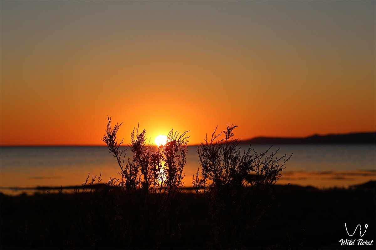
On the site of the drained seabed, the new sandy-salt desert Aralkum has formed, from where seasonal winds lift millions of tons of fine salt and chemical dust into the atmosphere. To counter salt deflation, extensive forestry and phytomelioration projects are carried out: state nurseries plant saxaul, dzhuzgun, and sarsazan on hundreds of thousands of hectares of salt marshes, and local watering projects for delta lakes are implemented.
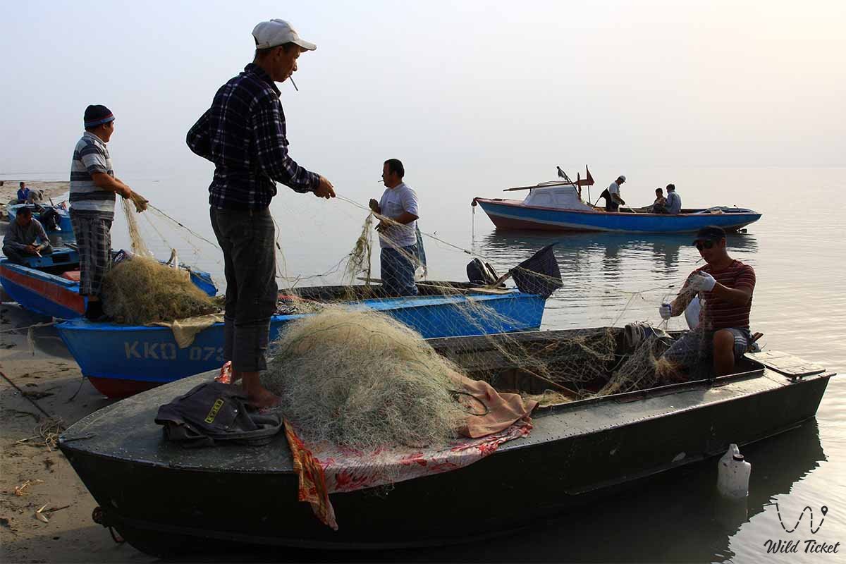
The economy of Priaralye rests on extractive and processing industries: oil production is carried out here, table salt extraction continues by "Araltuz", and the revival of the North Aral enabled the restoration of commercial fishing ("Aralbalyk") and the export of pike perch and carp. Furthermore, curative geothermal boreholes with hot mineralized water operate in the vicinity of Akespe and Akbasty villages.
Detailed description of the venue
The territorial and landscape complex of Kazakhstan Priaralye covers key geographical, industrial, and historical locations:
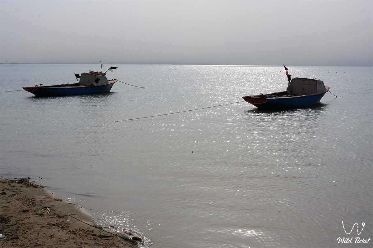
• North Small Aral Sea – a stable brackish water reservoir with commercial fishing, sandy spits, and recovering fauna.
• Kokaral Dam – a thirteen-kilometer hydraulic structure in the Berg Strait that saved the northern part of the sea from total desiccation.
• City of Aralsk – a historic sea port with the Museum of the Aral Sea complex, an ancient railway station, and monuments to the labor glory of fishermen.
• Baikonur Cosmodrome – the world's first and largest operational spaceport, situated in the Karmakshy district of Eastern Priaralye.
• Kamystybas (Kambash) Lake System – a chain of relict freshwater lakes in the Syr Darya delta used for beach tourism and fish farming.
• Barsakelmes State Nature Reserve – a biosphere reserve of global importance protecting the former island and adjacent plains of the drained seabed.
• Akespe Geothermal Water Spring (Istyk-Su) – a natural hydrothermal borehole with water temperatures around +60°C gushing among barchans.
• Syr Darya River Delta and Raim Fort – historical tracts featuring the remains of a Tsarist military fortification, tugai riparian forests, and reed thickets.
• Zhaksykylysh Salt Lakes – the center of industrial salt production of the "Araltuz" plant with snow-white mineral beds amid the desert.
Flora and fauna
The plant world of Kazakhstan Priaralye is adapted to sandy, saline, and sharply continental conditions. Psammophytes prevail on the sand masses of the Big and Small Barsuki and Aral Karakum: white and black saxaul, kandym (dzhuzgun), sand acacia, selin, and astragalus. On saline plots of the former seabed, glasswort, sarsazan, suaeda, and salt-marsh wormwood dominate. Tugai thickets have survived in the floodplains and delta channels of the Syr Darya – narrow-leaved oleaster (jida), Asiatic poplar (turanga), and tamarisk.
The animal world combines desert and riparian species. Herds of saiga antelopes, goitered gazelles, and a restored population of Turkmenian kulans graze across the steppes and plains of Kulandy. Among predators, corsac foxes, steppe wolves, jackals, steppe cats, and red foxes are widespread.
Hundreds of bird species inhabit the Syr Darya floodplains and the Small Aral: Dalmatian and great white pelicans, pygmy cormorants, common cranes, Eurasian spoonbills, gulls, and herons. The ichthyofauna of the North Aral and delta lakes comprises dozens of fish species, including commercially valuable pike perch, carp, bream, asp, wels catfish, and European flounder.
Legend
The lands of Kazakhstan Priaralye are inextricably linked with the name of the legendary thinker and storyteller of the Turkic peoples – Korkyt Ata, who lived on the banks of the Syr Darya in the 8th–9th centuries. The legend tells that Korkyt sought the secret of immortality his entire life, but wherever he went, he saw a freshly dug grave. Returning to the banks of his native Syr Darya, he spread his carpet directly upon the river waves and began playing the first kobyz he had crafted. The melodies of the strings conquered death itself, enchanting winds, wild birds, and river fish as long as the sage continued to play.
Another legend preserves the memory of the submerged cities of the Aral. Local elders say that the retreating sea revealed the ruins of the ancient city of Aral-Asar and the Kerderi mausoleum for a reason: it is nature's sign to humanity that any neglect of the harmony between steppe and river returns as a great drought, and the land's prosperity rests solely on treating water with reverence.
Conclusion
Kazakhstan Priaralye is a land of striking contrasts and immense historical memory, uniting the austere beauty of the Aralkum Desert, the triumph of space launches from Baikonur, and the rebirth of the blue waters of the North Aral. A territory that endured a catastrophic ecological disaster now demonstrates nature's incredible capacity for recovery and the resilience of its people.
The growth of off-road auto-tourism, ecological expeditions, and balneological centers unveils the wondrous world of ancient Syr Darya deltas to travelers, proving that Priaralye remains an essential geographical and cultural symbol of all Kazakhstan.
Interesting sights nearby:
• Large Aral Sea;
• Aral Geopark;
• Shevchenko Bay;
• Kerderi Mausoleum;
• Aral-Asar Settlement;
• Barsakelmes Island;
• Ayteke Bi Village;
• Basibek Mausoleum;
• Tolybay Batyr Mausoleum;
• Saraman-Kosa Tower;
• Begim-Ana Tower;
• Lake Kambash (Kamystybas);
• Akbasty Village;
• Bogen Village;
• Baikonur Cosmodrome.
Photogallery: