Multi-layer hydrocarbon reservoirs and unique geological exploration methods –
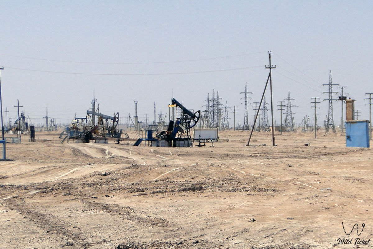
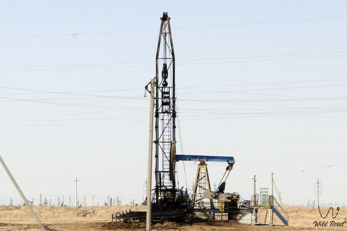
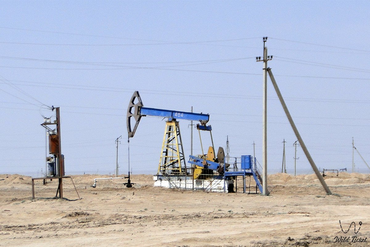
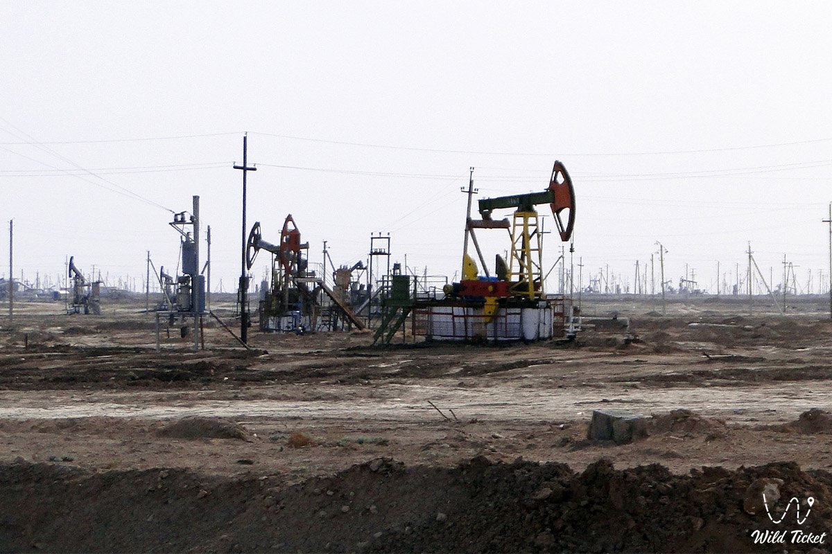
The Zhetybay Oil Field (Kaz. Zhetibay munai ken orny) represents one of the largest, historically significant, and richest hydrocarbon complexes of the Republic of Kazakhstan. This vast production asset is situated within the territory of the Karakiya district, in the central part of the level Mangyshlak Plateau.
The expansive desert and semi-desert territory of the field serves as a vital industrial center of the region, where alongside the celebrated Uzen field, the renown of the Kazakhstani petroleum industry was forged over decades. For hundreds of kilometers around stretch open horizons where the harsh climate of Mangystau shapes the daily tempo of thousands of operating specialists.
In the transport and logistical architecture of the Mangystau region, the development of the Zhetybay field established a branching network of paved motorways, rail lines, and utility corridors, firmly linking the oilfield with the regional capital city of Aktau and international export routes. The primary overland route from Zhetybay leads west toward the coast of the Caspian Sea and the city of Aktau, while also connecting with transit arteries heading north toward the Karazhanbas and Kalamkas fields, and south toward Zhanaozen. From the transport nodes of the region, highways lead toward ancient shrines and natural monuments of the peninsula.
The geological foundation of the field lies at significant depths within thick multi-layered terrigenous and carbonate strata of the Jurassic and Cretaceous periods, formed hundreds of millions of years ago on the bed of the vanished prehistoric Tethys Ocean. From the installations of Zhetybay, steppe and desert tracks guide researchers and travelers toward the distinctive natural sights of the region: to the chalk cliffs of the Bozzhira tract, the Tuzbair salt flat, Mount Bokty, the Karynzharyk depression, and the boundless expanses of the Ustyurt Reserve.
The primary technological hallmark of the project is decades of accumulated expertise in managing stacked multi-horizon reservoirs through advanced pressure-maintenance systems, waterflooding, and wellbore stimulation techniques. After finishing their work shifts on the high-tech oilfield installations of Zhetybay, specialists and visitors frequently set out on expeditions across the historical and sacred destinations of Mangystau – to the subterranean Shopan-Ata Mosque, the Sisem-Ata Necropolis, the underground Beket-Ata Mosque in Oglandy, and ancient monuments across the plateau.
Today, the Zhetybay field is recognized as one of the key strategic operational anchors of the Republic of Kazakhstan. Alongside the offshore giant Kashagan on the Northern Caspian shelf, the onshore supergiant Tengiz in the Atyrau region, the historic giant Uzen, the northern projects of Karazhanbas and Kalamkas, and the gas chemical hub of Karabatan, Zhetybay forms the manufacturing and energy backbone of western Kazakhstan.
--------------------------------------------
Geography, logistics, and transit corridors –
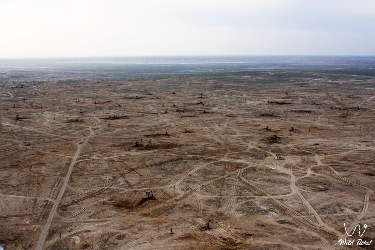
The Zhetybay field is located in the central part of the Mangyshlak Peninsula, within the territory of the Karakiya district of the Mangystau region, roughly 70–80 kilometers southeast of the regional capital city of Aktau. The landscape is an undulating and level semi-desert plain marked by takyrs, sand ridges, and clay-soil tracts.
GPS geographical coordinates of the Zhetybay field:
43°32'31"N 52°09'02"E
Controlled access zone and site regulations: the Zhetybay field is a strategic production asset subject to strict occupational safety and industrial security protocols. Entry into field sectors, operational plants, and maintenance bases is regulated and restricted to accredited personnel, contractors, and authorized delegations holding valid entry permits.
Logistical connections with Mangystau and the Caspian: Zhetybay is integrated into the regional transport grid:
– Aktau – Zhetybay – Zhanaozen Highway – the primary asphalt corridor connecting southern industrial areas with the regional capital and Caspian maritime ports.
– Railways and industrial access spurs – a network developed for transporting heavy machinery, pipe supplies, and moving liquid hydrocarbons.
Settlement and residential infrastructure: Zhetybay features developed municipal and support infrastructure, encompassing residential quarters for oil workers, dormitories, dining facilities, medical clinics, industrial repair yards, power stations, and potable water distribution systems.
Climatic conditions: central Mangyshlak has a sharply continental, highly arid, and severe climate. Summers are hot and dry, characterized by elevated daytime temperatures and desiccating winds. Winters are moderately cold and windy, with sharp temperature drops, steppe snowstorms, and blizzards.
--------------------------------------------
History
The history of discovery and commercial development at the Zhetybay field laid the foundation for the contemporary petroleum industry of the Mangystau region.
The geological structure was identified through exploratory surveys in the early 1960s during a regional campaign targeting large-scale hydrocarbon accumulations across the Mangyshlak Peninsula. In 1961, an exploration well on the Zhetybay structure produced a historic oil gusher, confirming the discovery of a multi-layer field that advanced alongside neighboring Uzen.
Developing Zhetybay required resolving harsh natural challenges: an absolute lack of potable water, distance from national supply lines, and desert conditions demanded the mobilization of significant technical resources. Around the field installations grew the modern settlement of Zhetybay, which became an engineering and residential hub for specialized technical cadres.
During Kazakhstan's independence, field operations advanced under the stewardship of JSC "Mangistaumunaigaz", which systematically modernizes the well inventory, deploys automated digital monitoring systems, and strengthens environmental safeguards across production trains.
Geological phenomenon and reservoir management
Zhetybay represents a classic multi-horizon oil, gas, and condensate complex characterized by complex stratigraphy.
Multi-layer reservoir system: hydrocarbons are distributed across numerous sandstone-clay intervals of the Jurassic and Cretaceous periods deposited at varying depths, requiring customized recovery methods for each formation.
Reservoir Pressure Maintenance (RPM) systems: to maintain consistent crude output, extensive water injection is conducted through cluster pumping stations, preserving energy in the productive horizons.
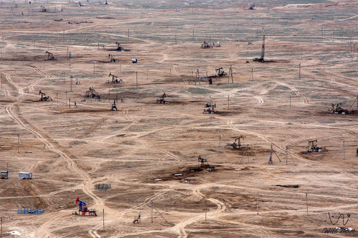
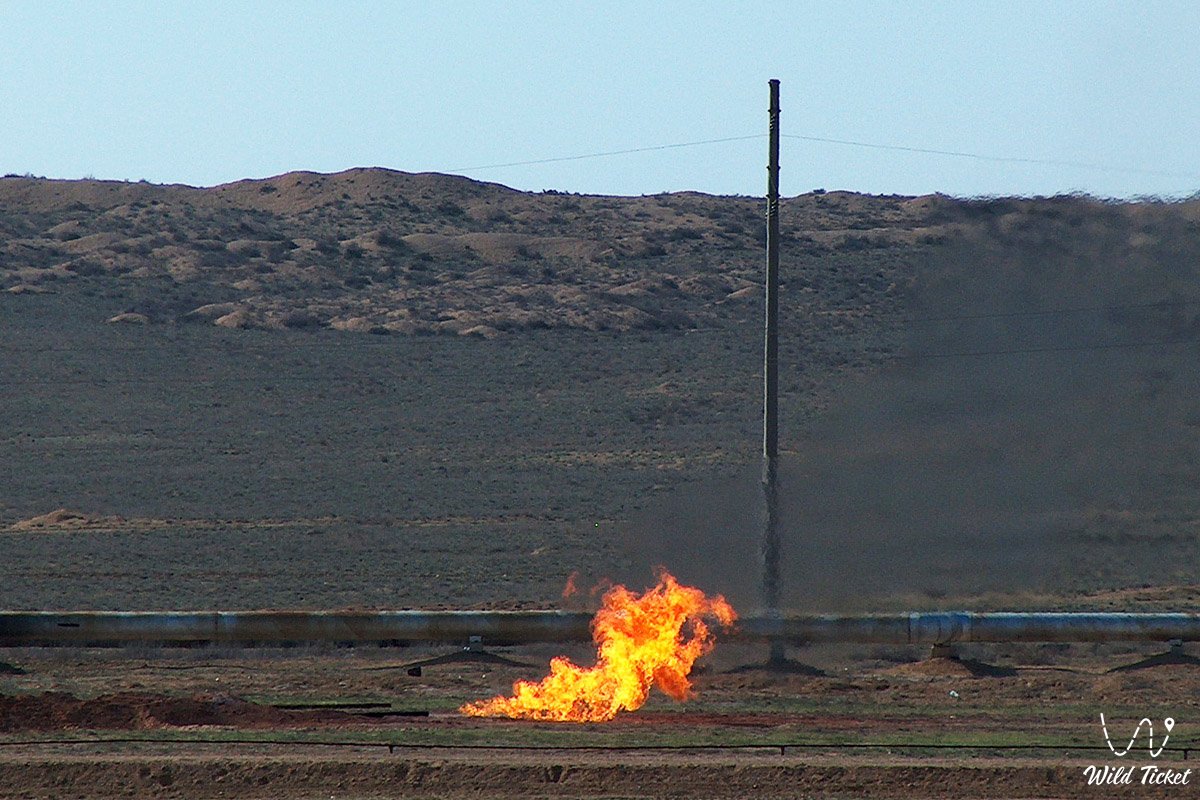
Production enhancement and digital telemetry: operations routinely deploy modern downhole stimulation techniques, electronic well telemetry, and electric submersible pumping systems to extract harder-to-recover residual reserves efficiently.
Detailed description of the venue
The industrial and processing complex of the Zhetybay field includes the following key technological components:
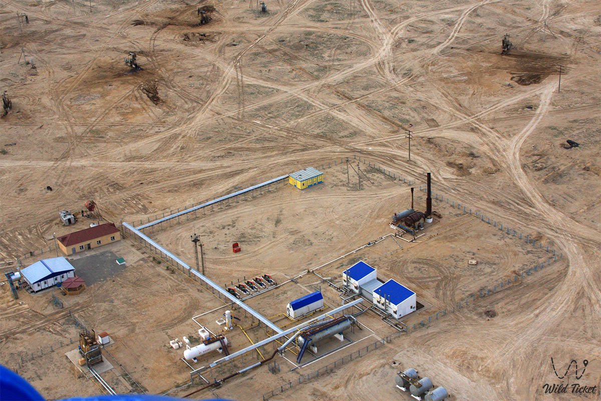
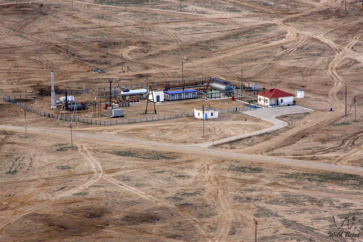
• Central Processing Facilities (CPF) – surface treatment units for separation, deep dehydration, desalting, and crude stabilization.
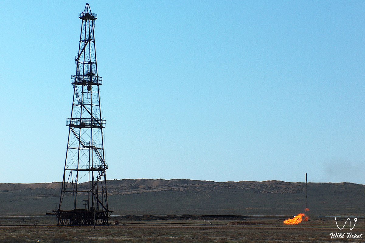
• Production and injection well inventory – an extensive grid of wells equipped with electric submersible pumps and remote telemetry instrumentation.
• Cluster Pumping Stations (CPS) – engineering nodes injecting pressurized treated water to maintain formation energy.
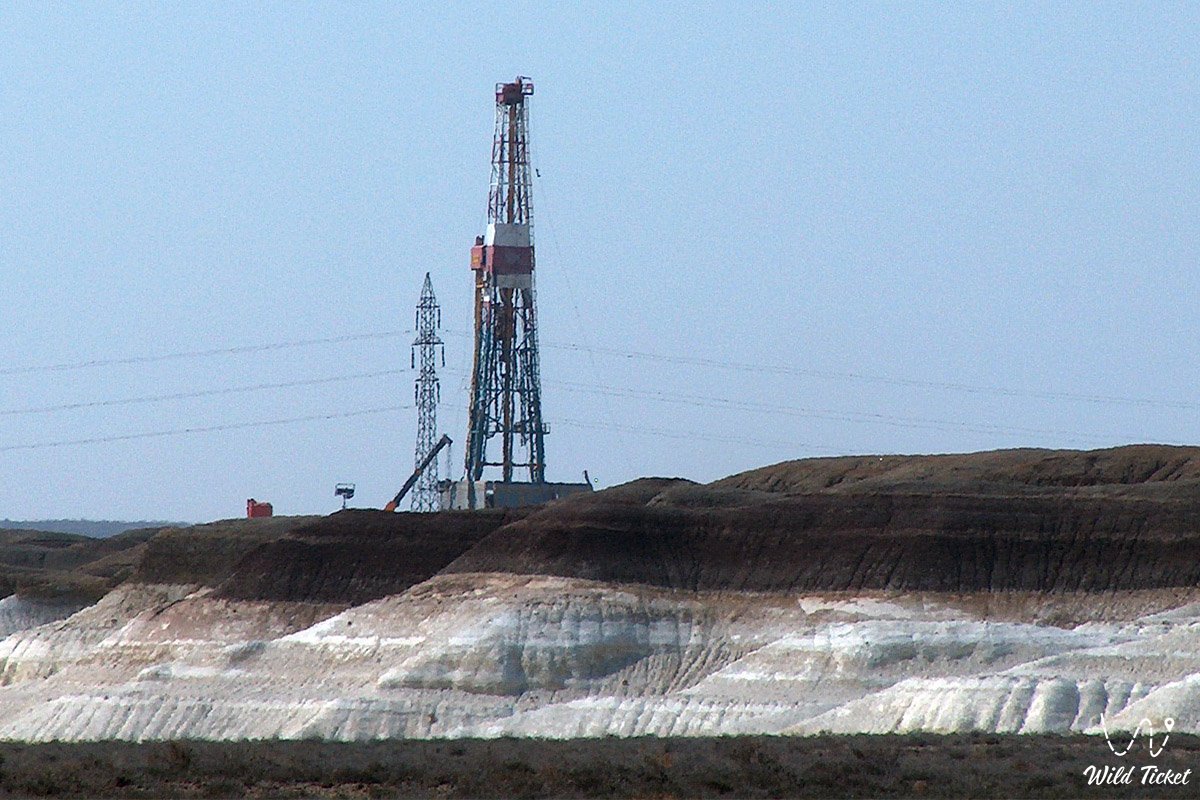
• Field maintenance and repair bases – technical yards specializing in servicing downhole tools, drilling rigs, and surface piping networks.
• Electrical power infrastructure – high-voltage power transmission lines, distribution substations, and autonomous power generation modules.
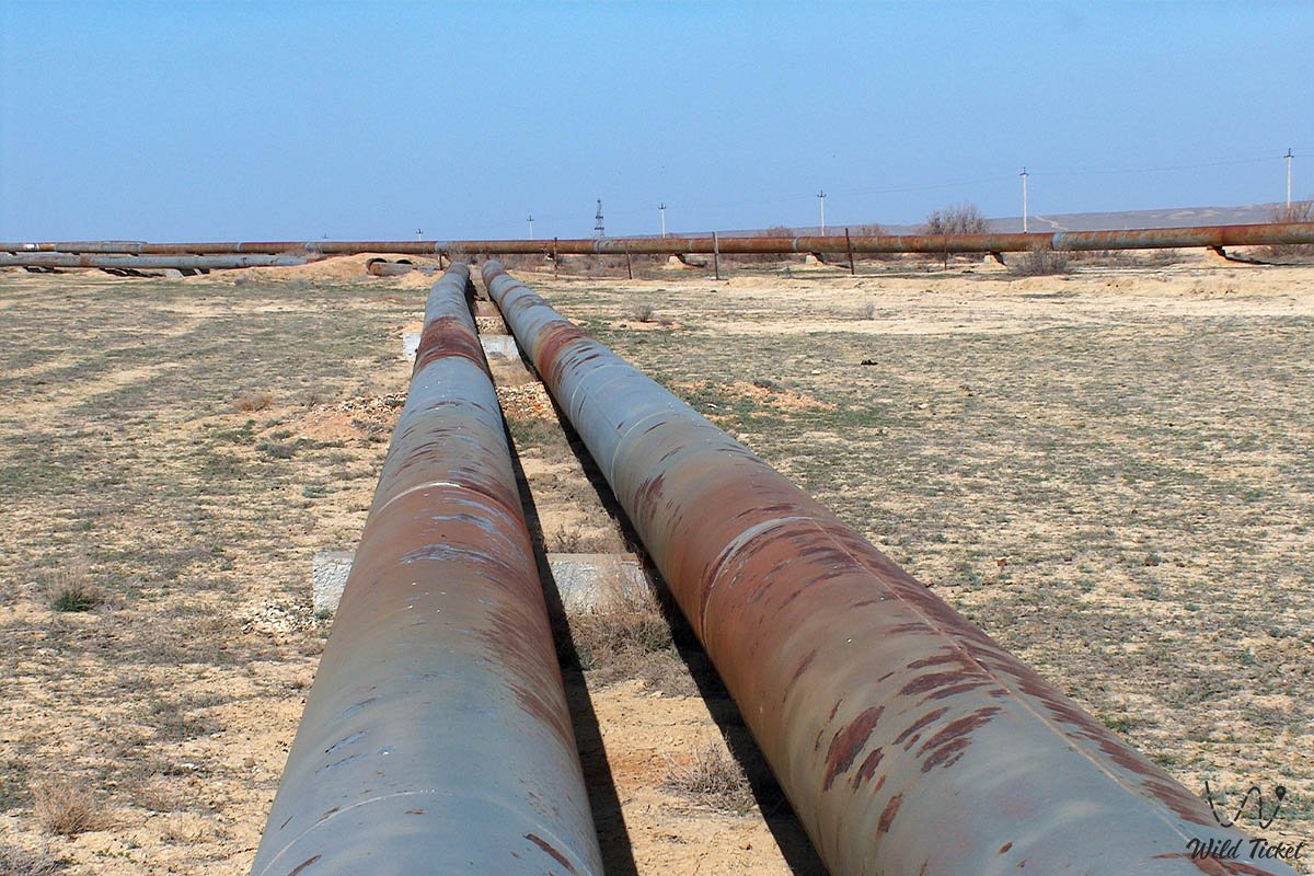
• Transport and shipping terminals – field access roads, pipeline networks, and crude delivery junctions.
Ecology, nature, and industrial camp life
The natural environment of central Mangystau is an arid desert plain. Flora is represented by wormwood, saltworts, and scattered desert shrubs, while regional fauna includes desert wildlife – goitered gazelles, steppe rodents, reptiles, and birds of prey.
Environmental management across the Zhetybay field is anchored in environmental compliance, rational water stewardship, associated petroleum gas utilization, and systematic soil remediation programs.
Daily life across the settlement and oilfield is connected to the working traditions of Mangystau's petroleum pioneers. Functional conditions support rotation personnel and local families, backed by social infrastructure, athletic centers, and cultural venues that establish Zhetybay as a dependable pillar of the region.
Legend
A regional steppe legend concerning the Seven Springs and the Underground Pearl is recounted across the Mangyshlak Plateau in connection with the riches of Zhetybay.
Lore tells that in ancient times, caravans moving across the sun-parched plains of Mangystau sought oases of fresh water, whose discoverers believed the earth concealed endless gifts beneath the stone. The name Zhetybay, translating as "seven rich springs" or abundance, reflected the hopes of weary travelers for the generosity of this land.
In the 20th century, exploration geologists uncovered immense petroleum wealth beneath the desert floor, transforming the dry steppe into a zone of industrial development. Since that era, Zhetybay has symbolized labor dedication and the resource vitality of Mangystau.
Conclusion
The Zhetybay field is a landmark chapter in the chronicle of Kazakhstan's petroleum industry, embodying geological exploration, engineering design, and generational craftsmanship. Connecting its operational legacy with modern technologies, Zhetybay continues to support the national energy framework alongside the other major fields of western Kazakhstan.
Interesting sights nearby:
• City of Aktau;
• Caspian Sea;
• Uzen (Ozen) Field;
• Mangyshlak Peninsula;
• Bozzhira Tract;
• Fangs of Bozzhira;
• Shopan-Ata Underground Mosque;
• Otpan-Tau Historical Complex;
• Tamshaly Canyon;
• Zhygylgan Sinkhole;
• Fossilized Tracks in Zhygylgan;
• Karazhanbas Oil Field;
• Kalamkas Oil Field;
• Ustyurt Nature Reserve;
• Zhetybay settlement and monuments of labor glory.
Sacred sights and pilgrimage destinations:
• Beket-Ata Underground Mosque;
• Sisem-Ata Necropolis;
• Sultan-Epe Necropolis and Mosque;
• Shakpak-Ata Underground Mosque;
• Yerzhan Khazret Mausoleum.
Photogallery: