Travel and tours in East Kazakhstan -
Sights of the East Kazakhstan region -
East Kazakhstan region is an administrative and territorial part in the north-east of the Republic of Kazakhstan. The region was founded on March 10, 1932. The East Kazakhstan region is the largest industrial and agricultural region of Kazakhstan. The main branch of the economy is industry.
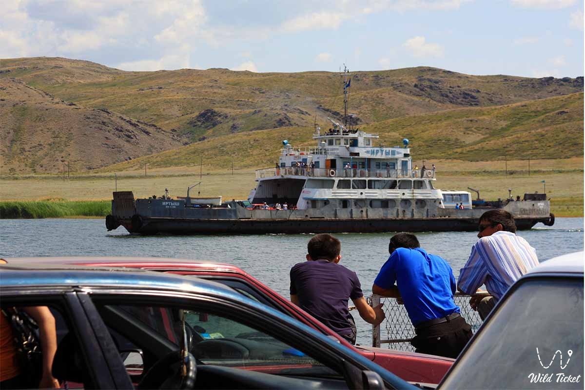
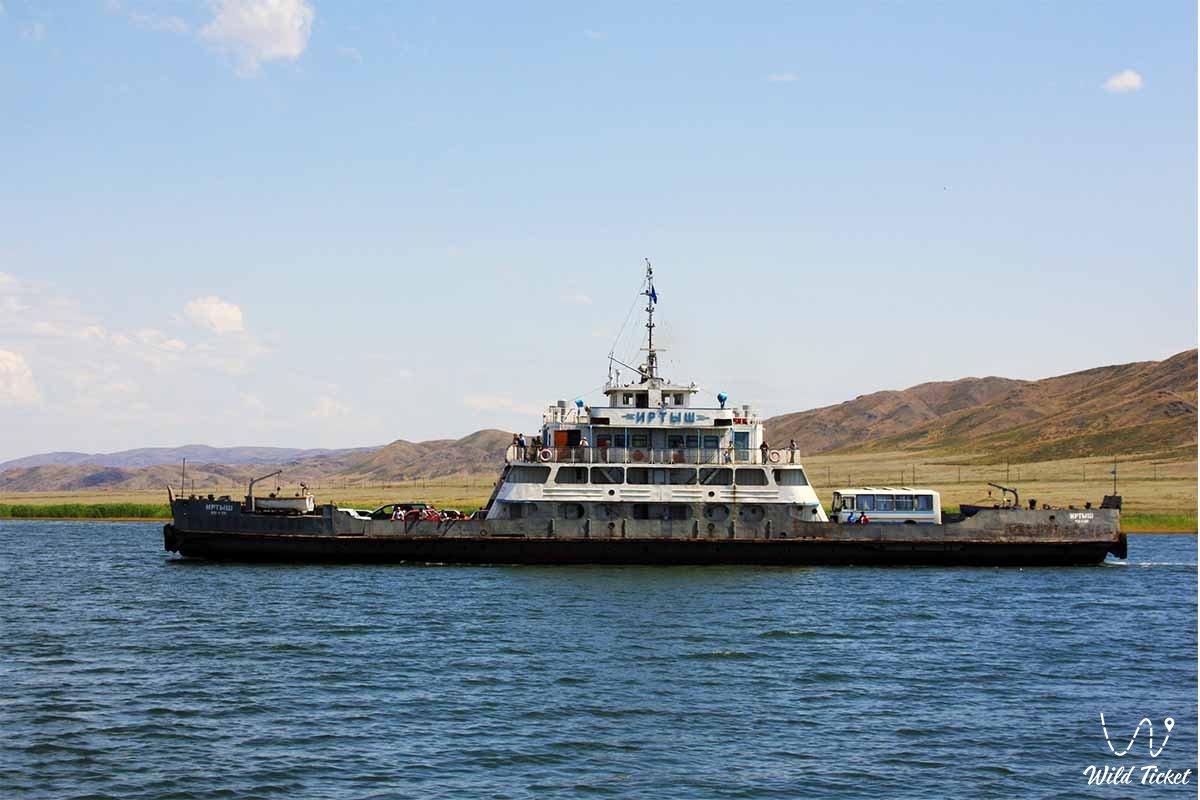
The East Kazakhstan region ranks 5th in the republic after the North Kazakhstan, Akmola, South Kazakhstan and Almaty regions. All waterways are connected via the Irtys River. There are river berths in about 15 localities.
The region consists of 9 districts: Altai district, Glubovsky district, Zaisansky district, Katonkaragaysky district, Kurchumsky district, Sairamsky district, Tarbagataysky district, Ulansky district, Shemonaikha district, there are also two cities of regional significance: Ridder, Ust-Kamenogorsk.
---------------------------------------------
How to get there, visit -
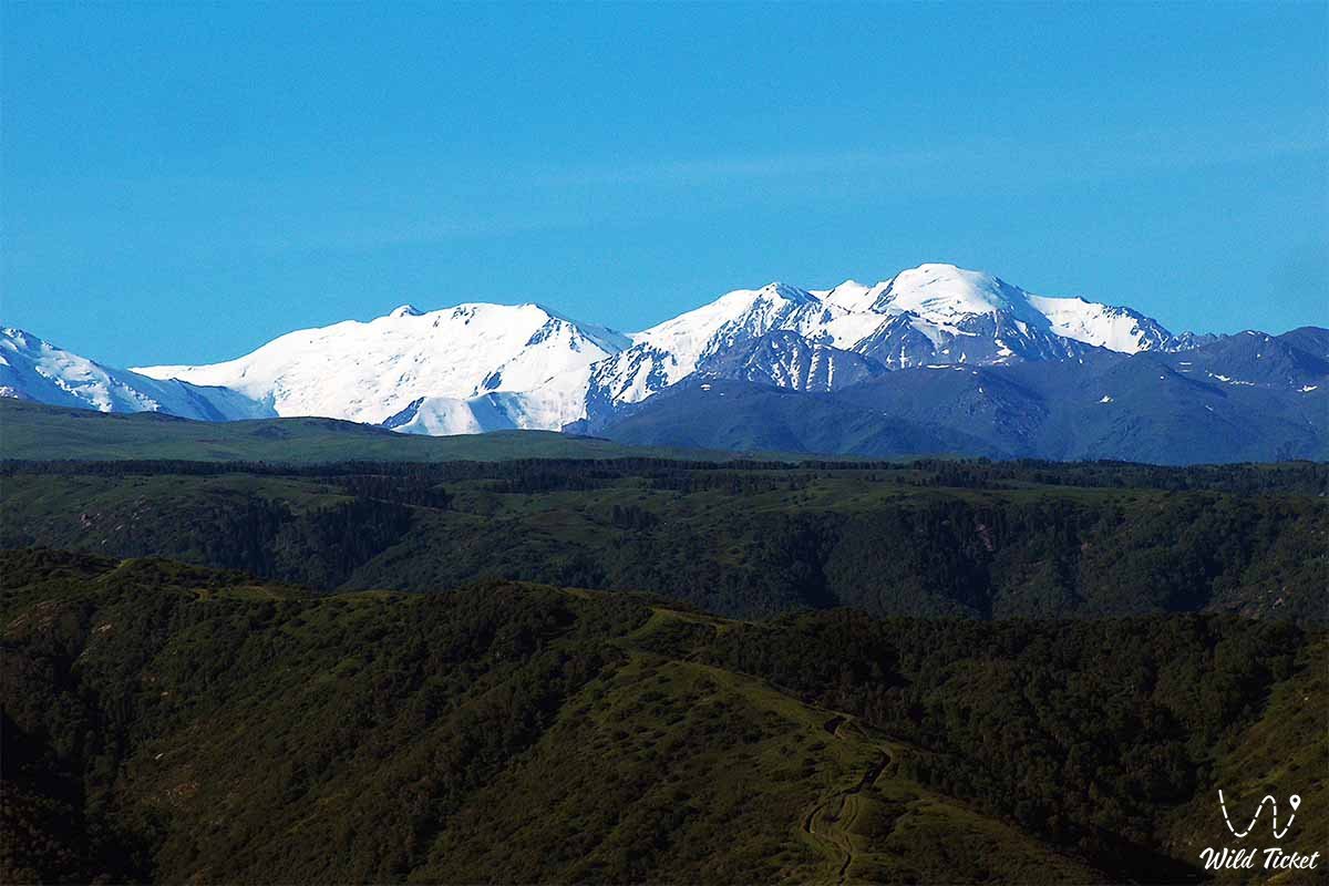
The East Kazakhstan region is located in the east of Kazakhstan.
GPS coordinates: 49°57'N 82°37'E
---------------------------------------------
Tourism
The East Kazakhstan region has great potential for the development of cultural and educational tourism. South Kazakhstan Region has unique natural and geographical, climatic, balneological, cultural and historical resources capable of demonstrating its potential competitiveness not only in Kazakhstan, but also in the global tourism market. In terms of the development of the tourism industry, South Kazakhstan Region ranks 3rd after the cities of Almaty and Astana. The Concept for the development of the tourism industry of the Republic of Kazakhstan until 2020 indicates that the East Kazakhstan cluster will be defined as the center for the development of the "World of Natural Wonders" and eco-tourism."
Natural attractions
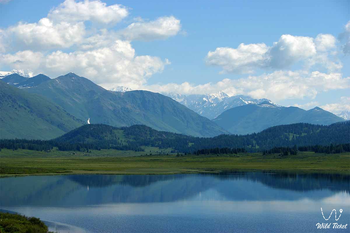
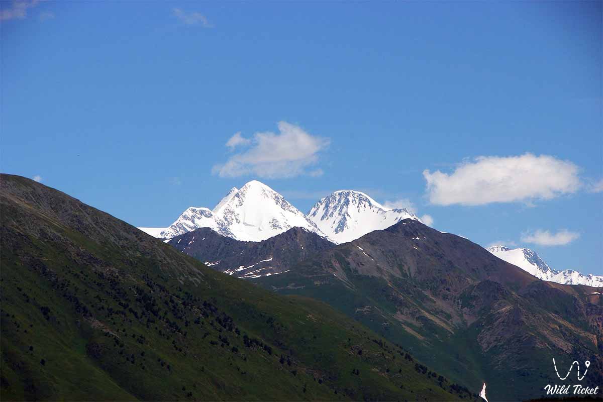
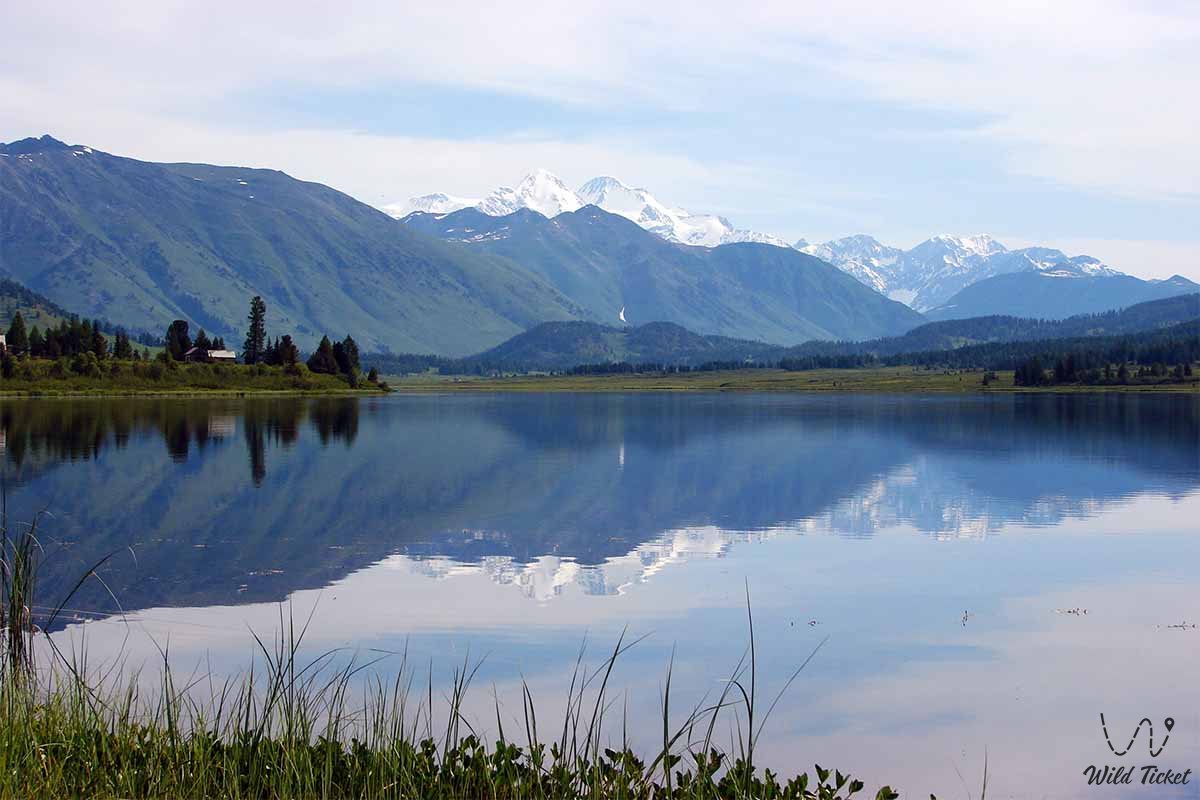
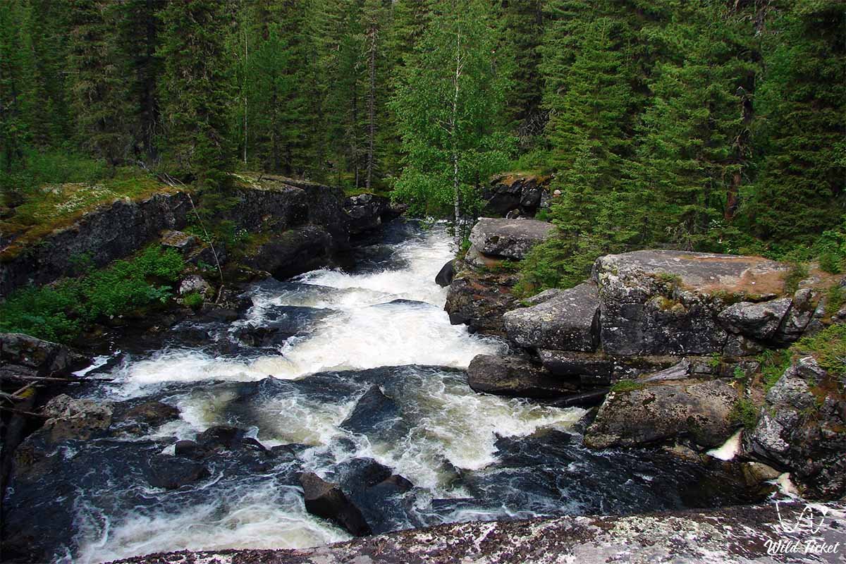
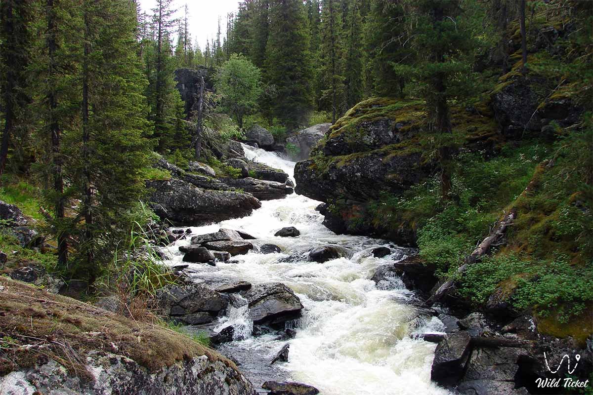
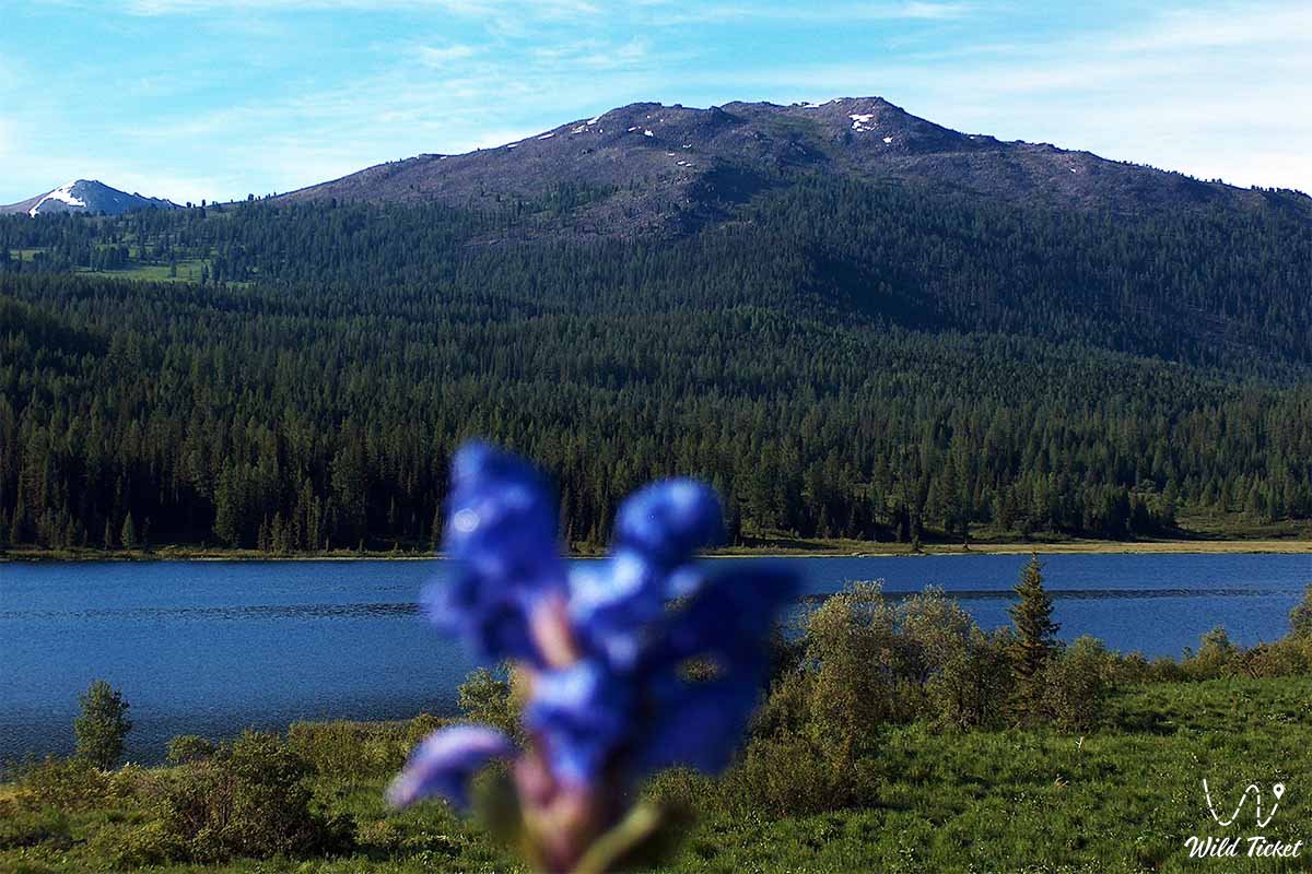
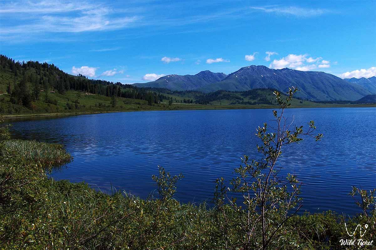
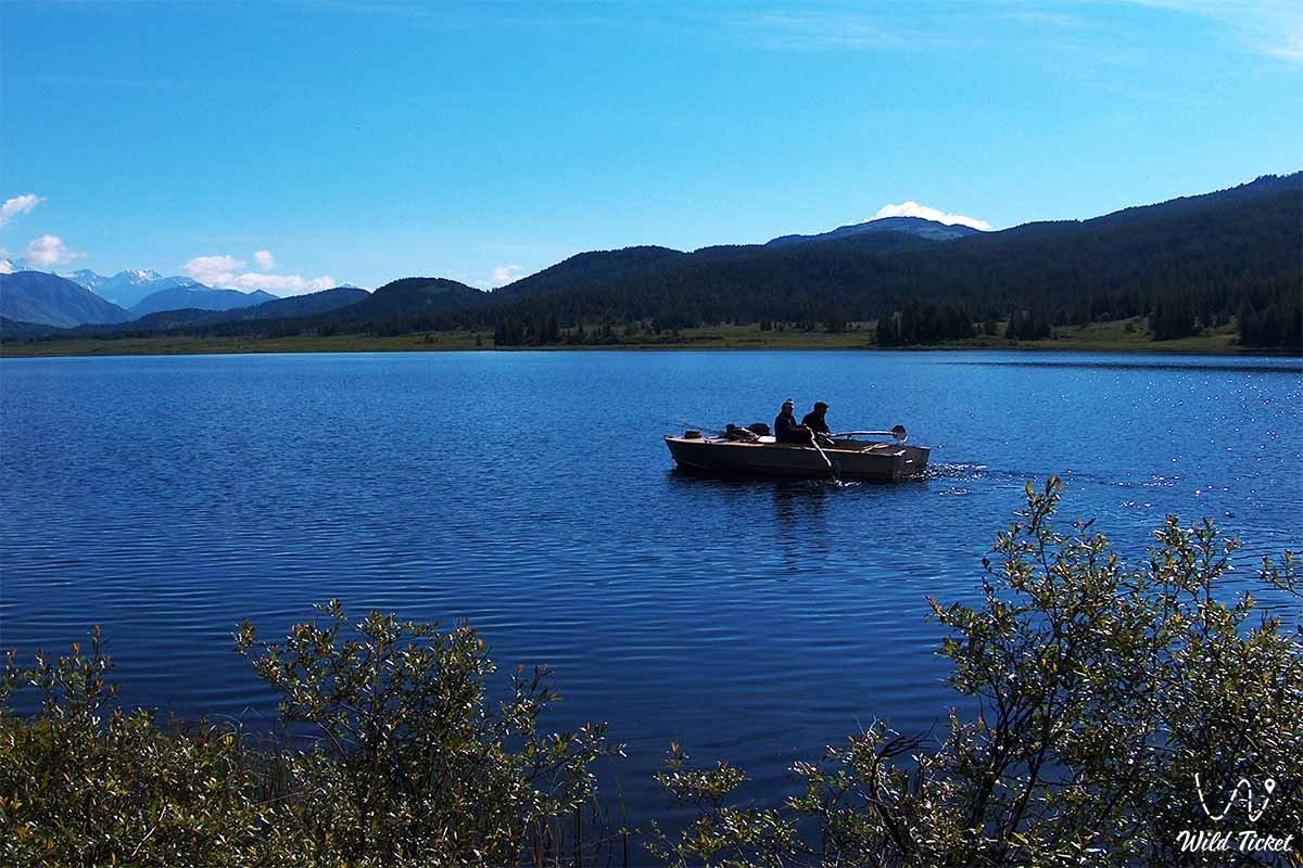
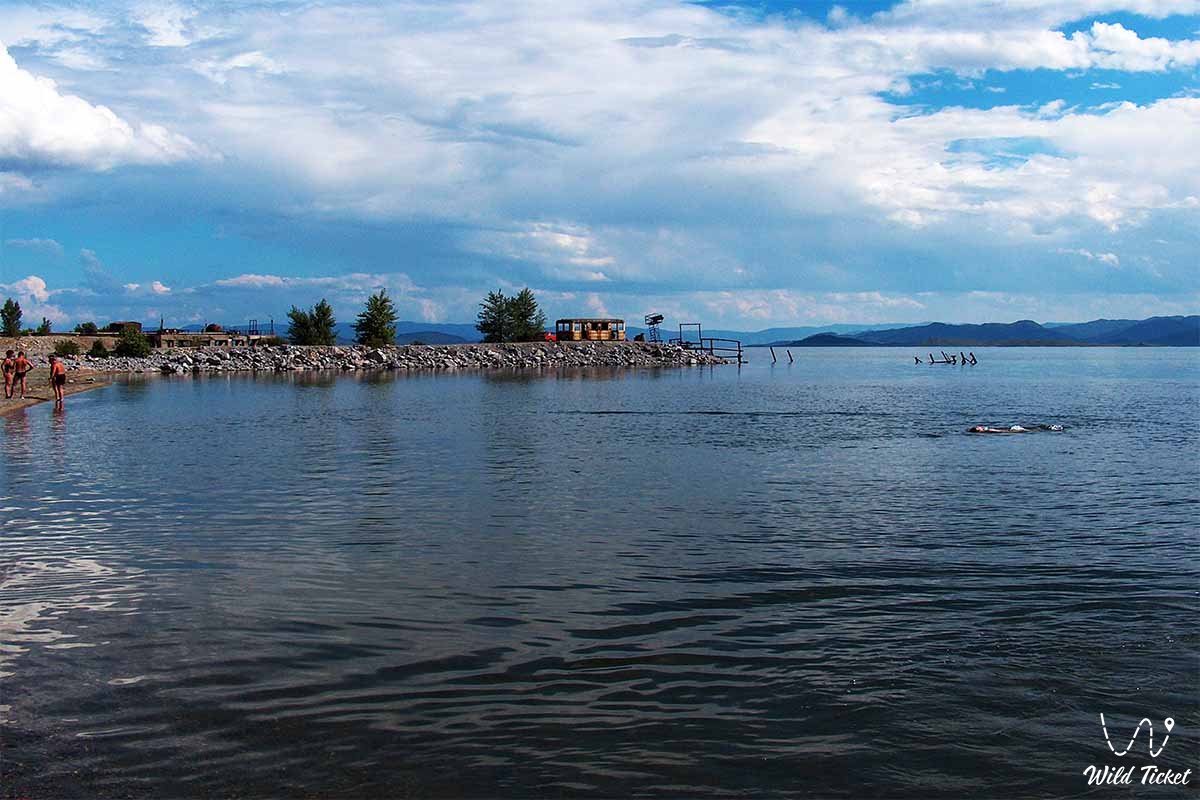
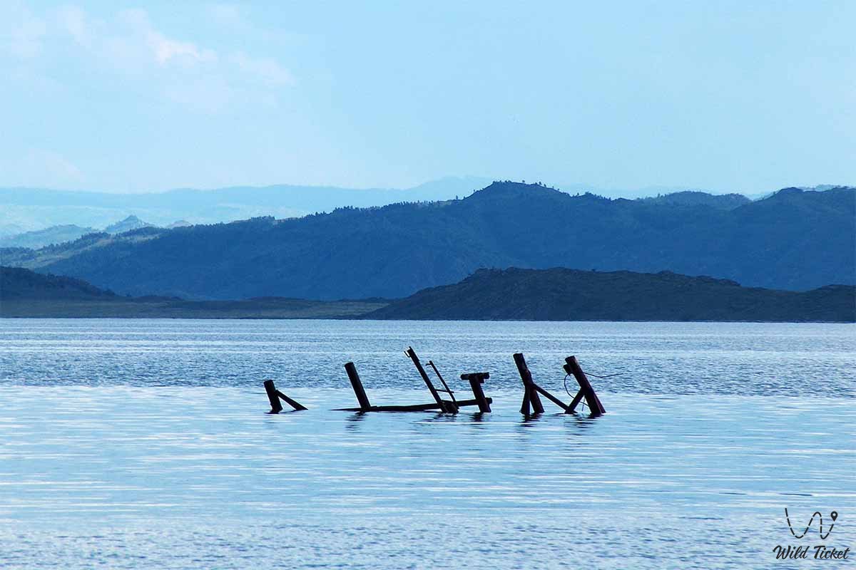
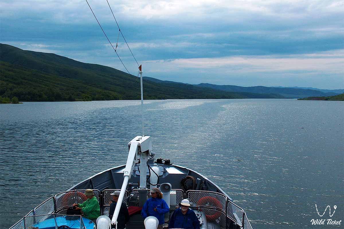
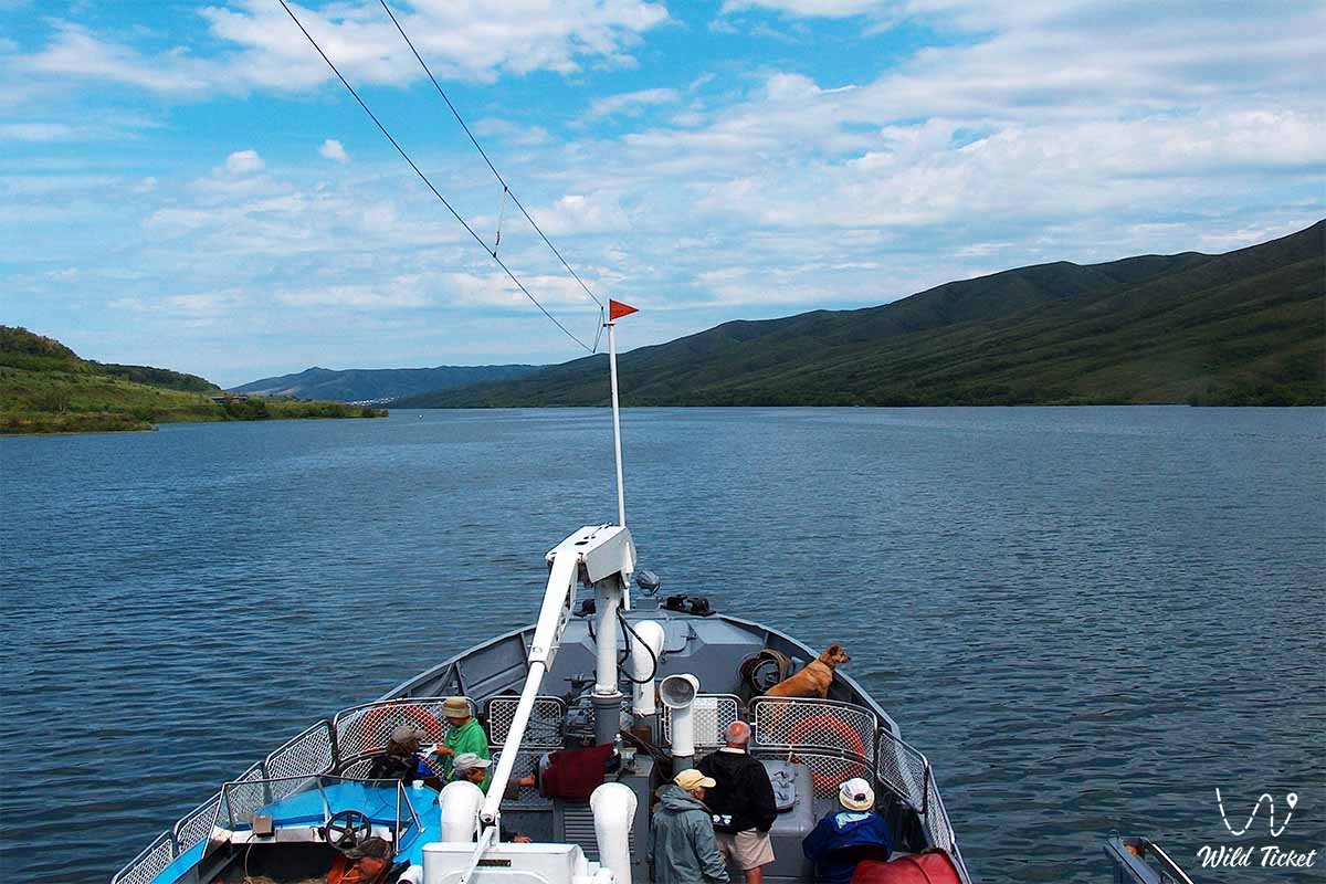
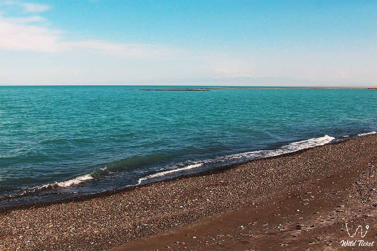
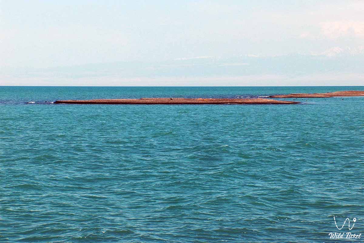
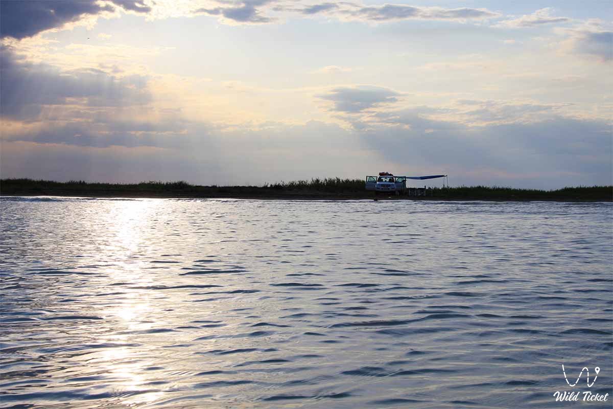
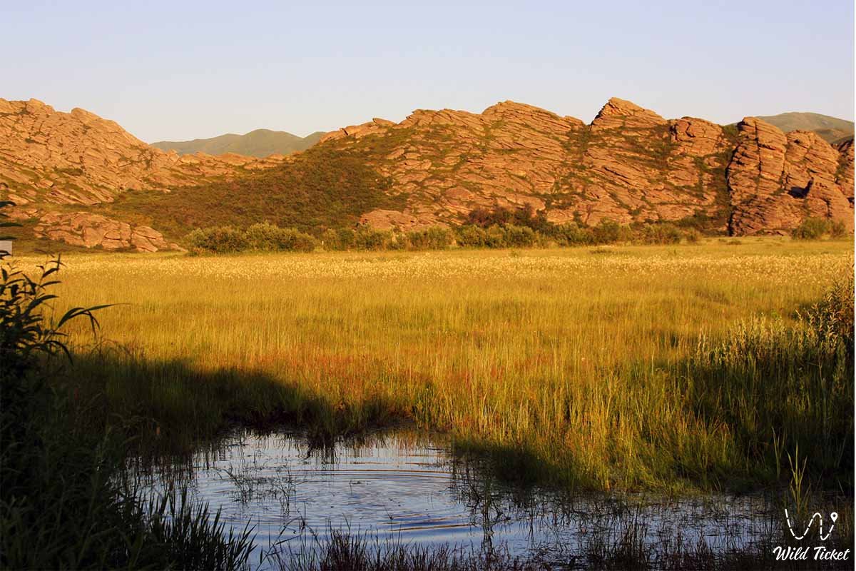
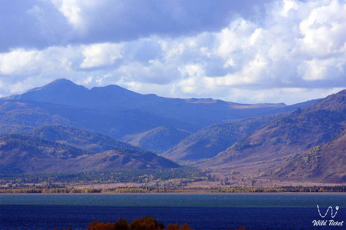
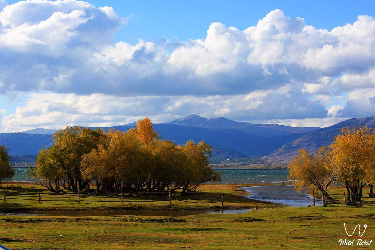
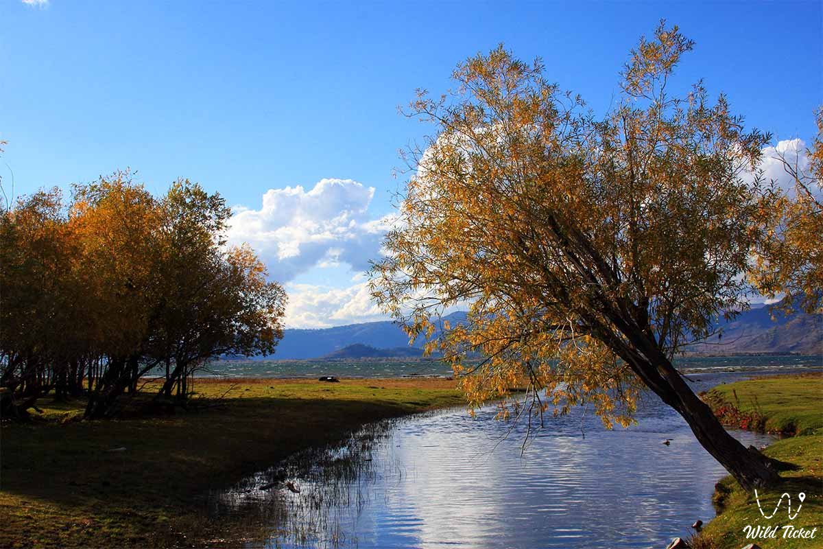
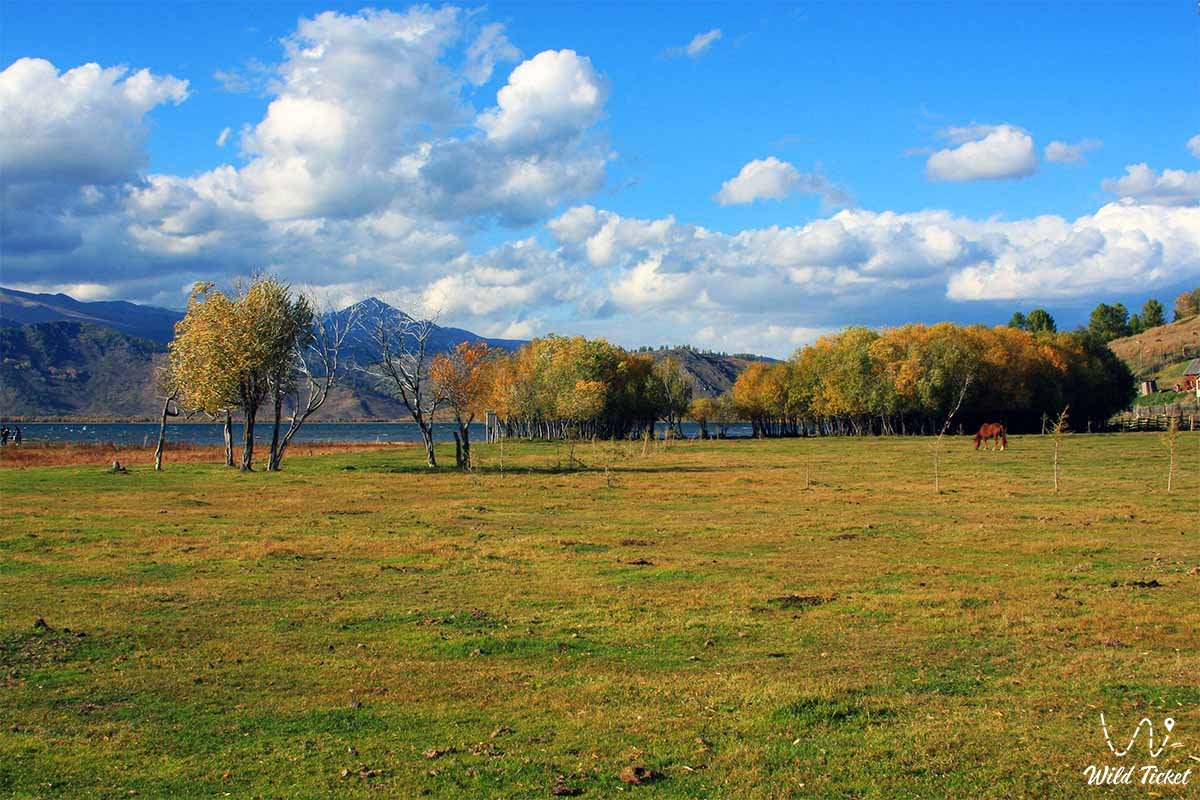
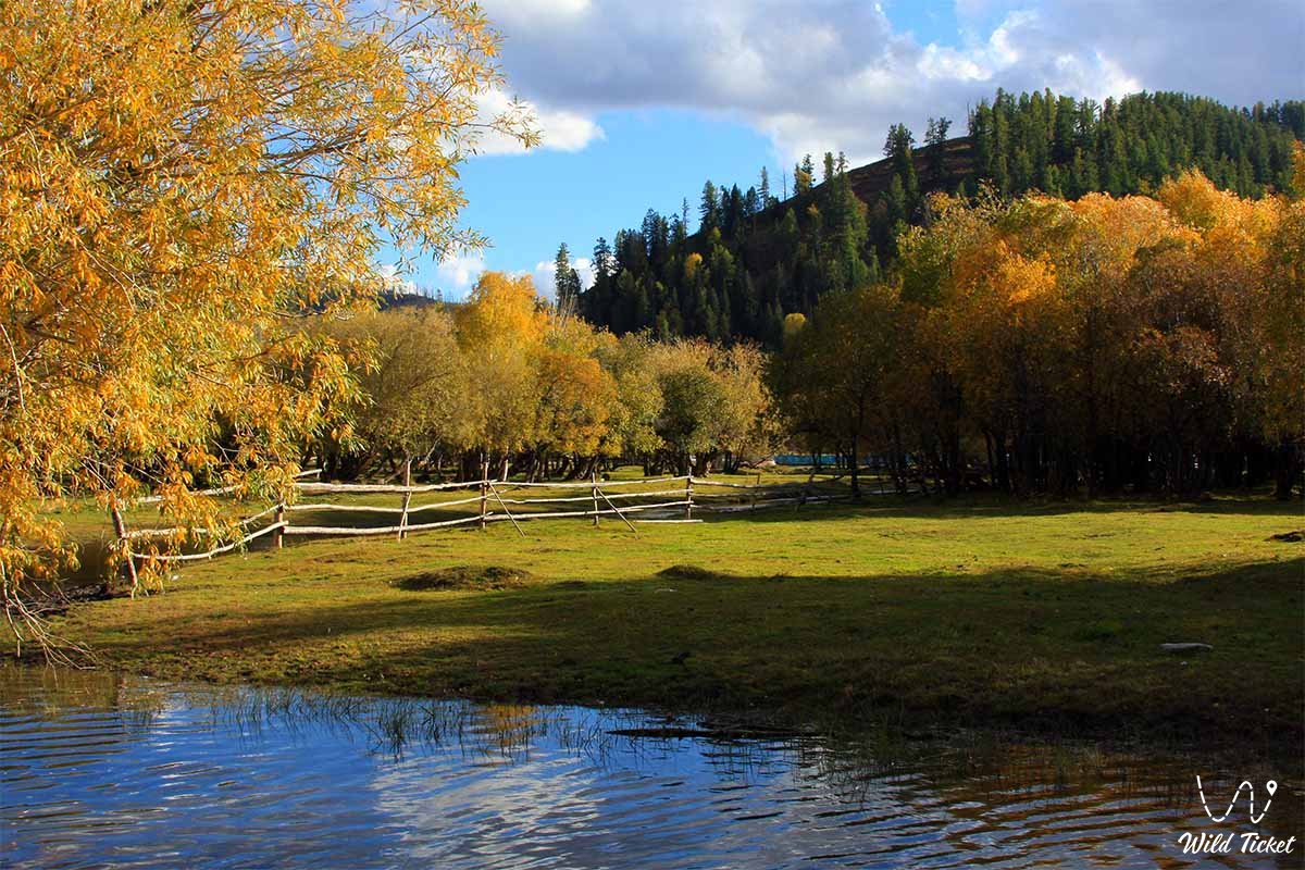
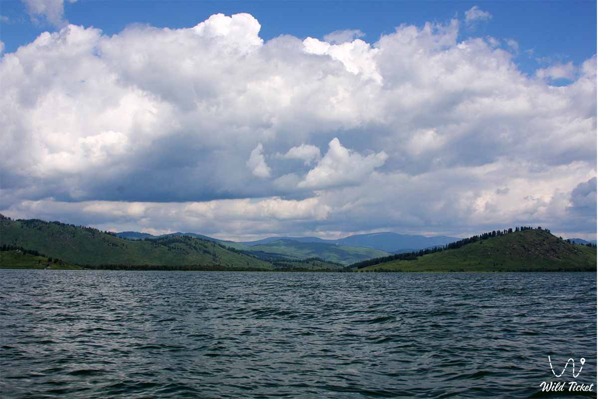
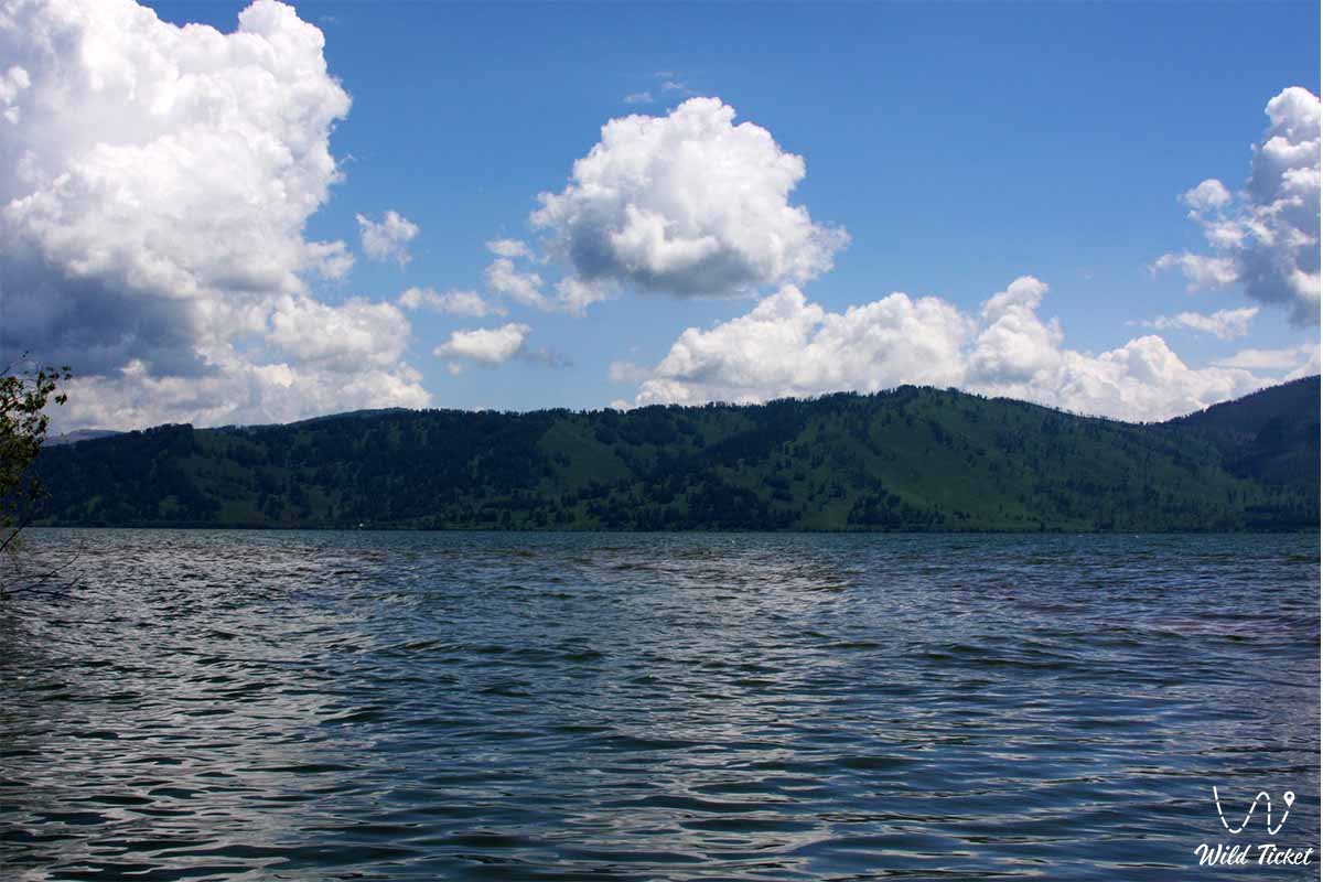
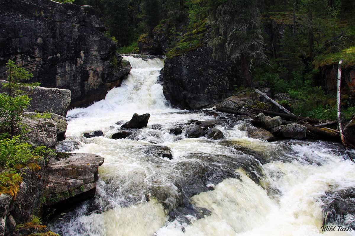
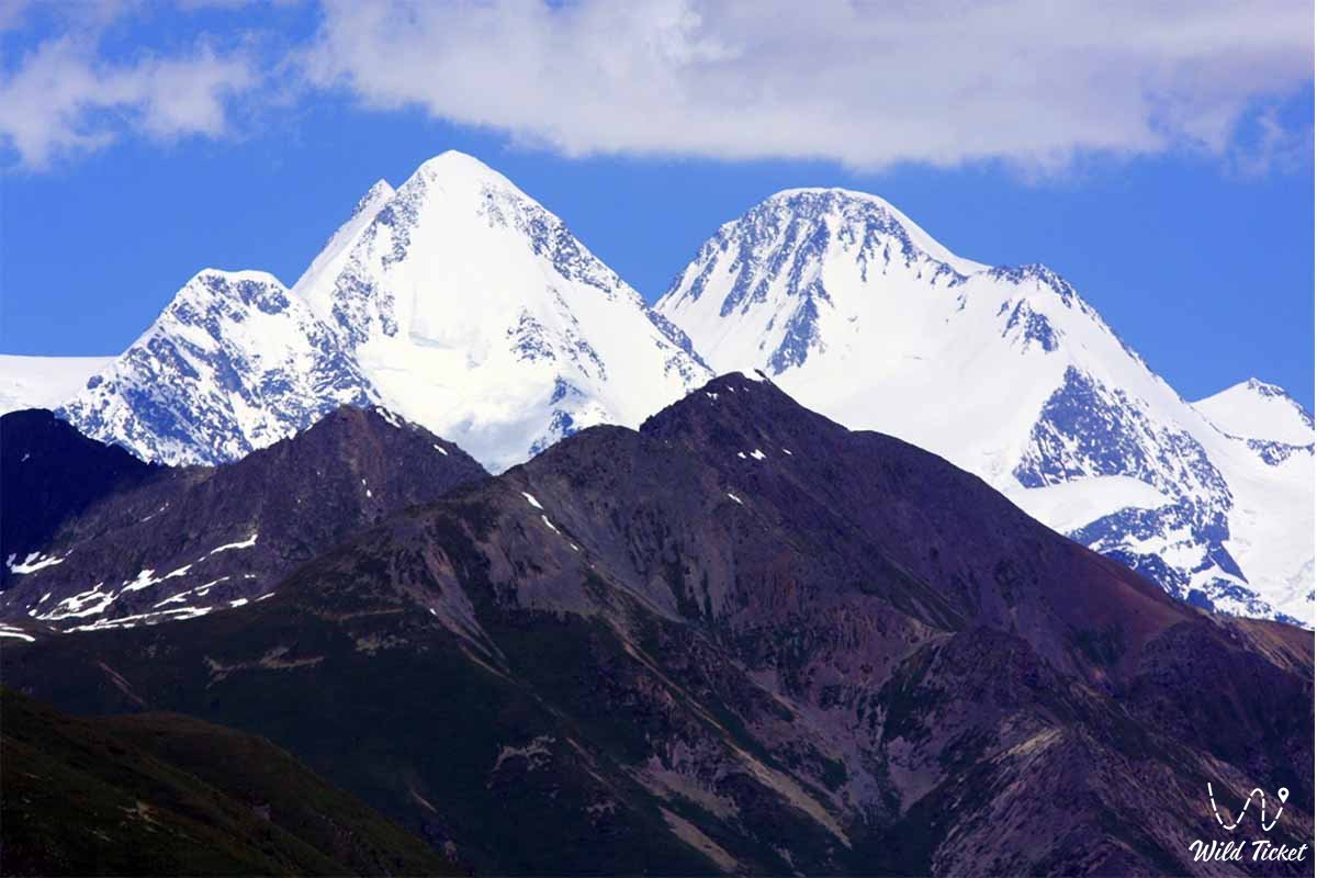
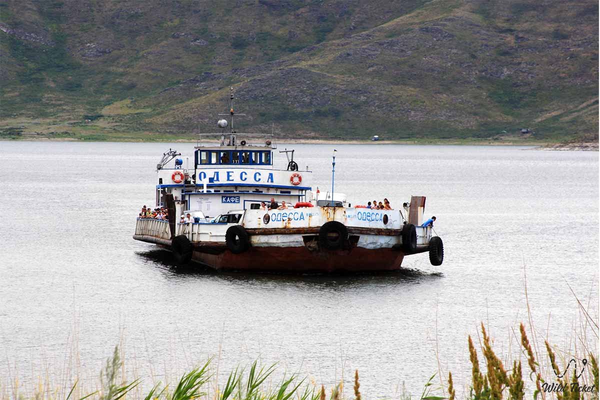
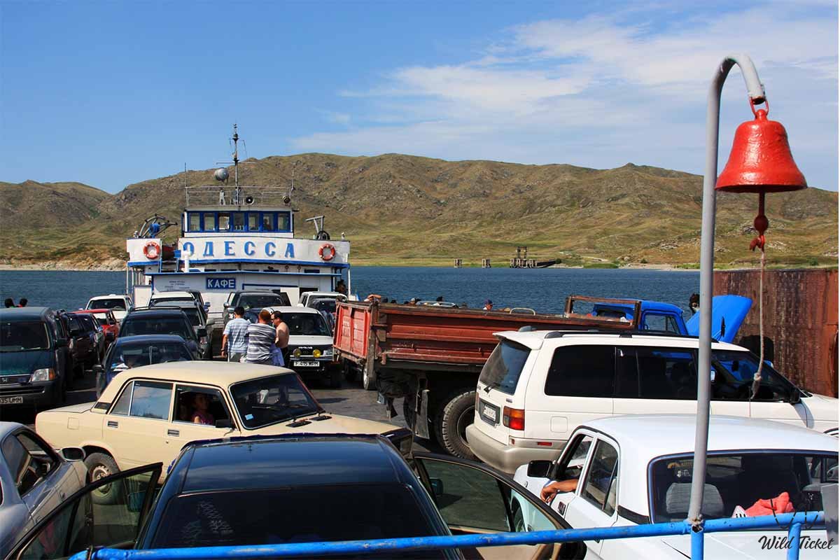
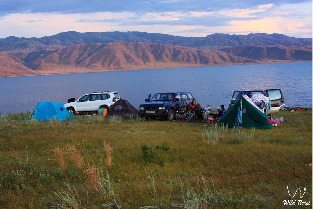
Historical and Cultural Reserve Berel Museum, Buktarma reservoir, Irtysh River, Lake Zaisan, Katon-Karagai State National Natural Park, Ridder city, Lake Alakol, Semey city, etc.
Minerals
The subsoil of the East Kazakhstan region is rich in minerals. There are zinc, lead, copper, silver, gold, cadmium, antimony, copper, iron, sulfur, bismuth, indium, gallium, selenium, tellurium, mercury, tin, tantalum, niobium, molybdenum, tungsten, titanium, nickel, cobalt, coal, oil shale, as well as deposits of various chemical raw materials and building materials.
Climate
The climate of the area is sharply continental. The average annual air temperature in January is -17°C -26°C, in summer 19° - 23°C in July.
Information, history
The territory of the East Kazakhstan region has been inhabited since ancient times. According to eyewitnesses, traces of ancient mines, irrigation systems, fortresses and settlements have been preserved in Altai, Zaisan district, Tarbagatai and Sauyrsky ridges. At the beginning of the 15th century, after the Oirats captured the upper part of the Irtysh River basin, this land became part of the Dzungarian Khanate. In 1758, after the defeat of the Dzungarian Khanate by Chinese troops, the Kalmyks went to the other side of the Volga. And the Kazakh peoples, who mainly inhabited Saryarka, returned to their ancient settlements.
At the beginning of the XVIII century, tsarist Russia built a network of Irtysh fortresses on the territory of the present region, displacing the Kazakhs from their ancestral homeland in order to colonize the Kazakh land. Russian Russian settlements (Semey in 1718, Uskemen in 1720, Buktyrminsky fortresses in 1763) were gradually built along this line. Kazakh-Russian settlements appeared along the right bank of the Irtysh and its tributaries. The Kazakhs lost their most desirable places and lost the names of their ancestral settlements, Russian names appeared instead, preserved on the pages of maps. All tributaries, ravines and rivers flowing into the Irtysh have received Russian names.
Russian Russians, who were hiding and fleeing from the tsarist government, began to arrive in the remote taiga depths of the Altai mountain valleys together with the Kazakh-Russian colonization. These were Kerzhaks (Old Believers) workers and artisans who fled the factories and mines of the Urals and Altai. They settled along the upper reaches of the Buktyrma and its tributaries, as well as along the Naryn and Kalzyr rivers. At this time, the villages of Katonkaragai, Belaya, Chernovaya, etc. appeared. In the 60s of the 18th century, peasants called "Poles" came and settled in the valleys of the Ob and Ulba rivers in the northwestern part of Altai from the inner provinces of Russia.
The East Kazakhstan region did not develop significantly in the early years of Soviet rule. Only in the 30s of the 20th century, in connection with the organization of agriculture and the country's industrialization campaign, the mining industry of non-ferrous metallurgy and mining in Altai Kazakhstan became the largest industrial center. Various settlements have arisen in the parts of Altai inhabited by Kazakhs. The further development of the region's economy was greatly influenced by the construction of the Turkestan-Siberian Railway.
In the years after World War II, the region's economy developed rapidly. Buktyrminskaya, Uskemenskaya and Shulbinskaya power plants have been built on the Irtysh River. New mines for the extraction of non-ferrous metal and metallurgical enterprises for its processing were opened along the Altai mine, the capacity of the meat processing plant, which ranked second in the USSR in terms of capacity in the post-Soviet space, increased, and many industrial facilities appeared. in Ust-Kamenogorsk, such as the titanium magnesium plant and the artificial silk plant.
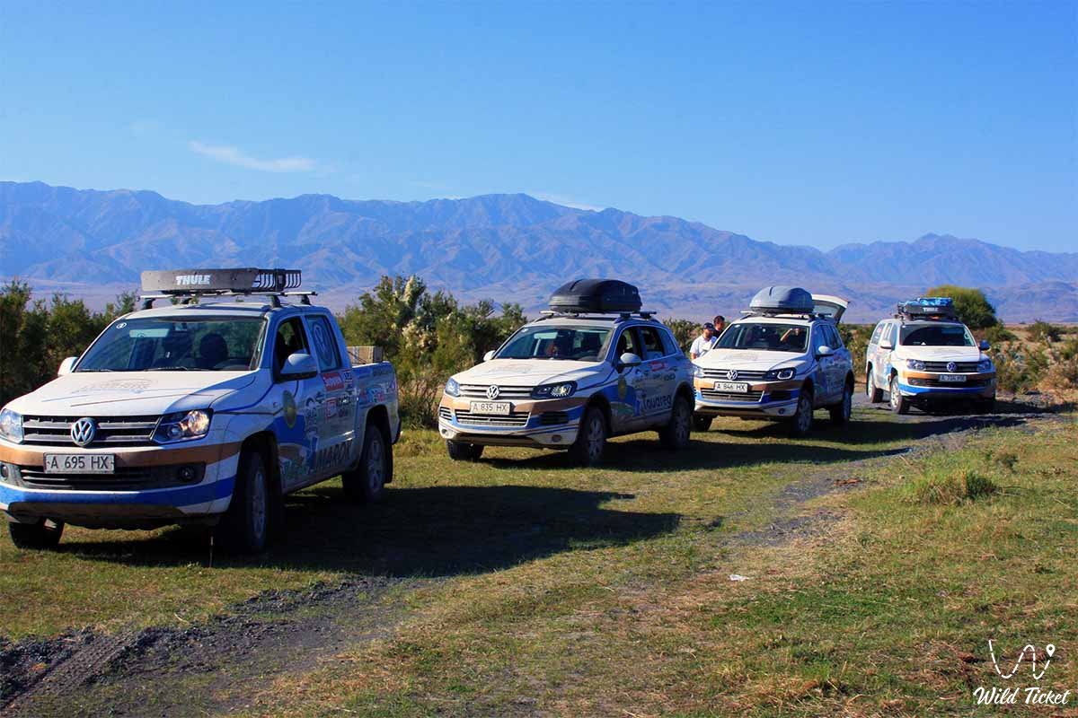
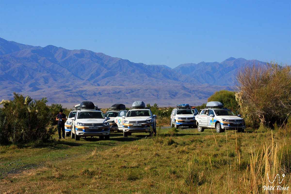
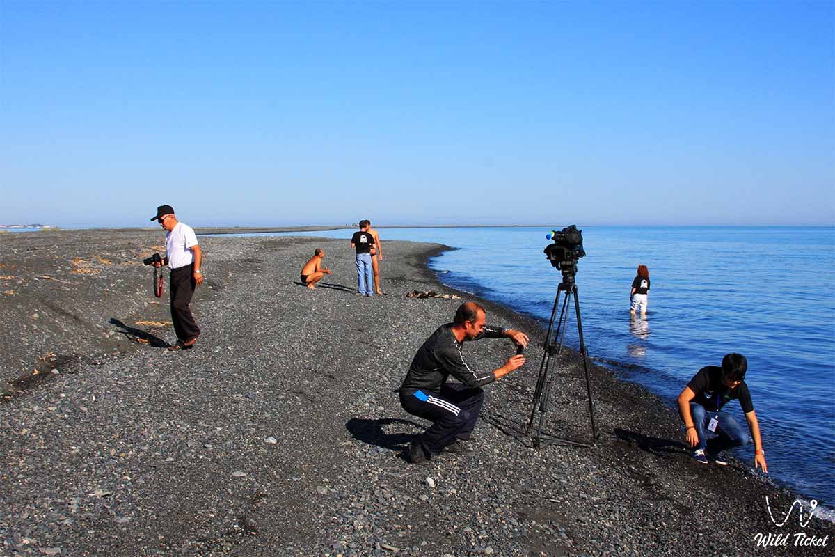
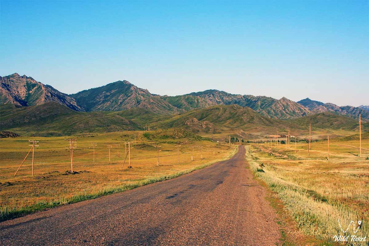
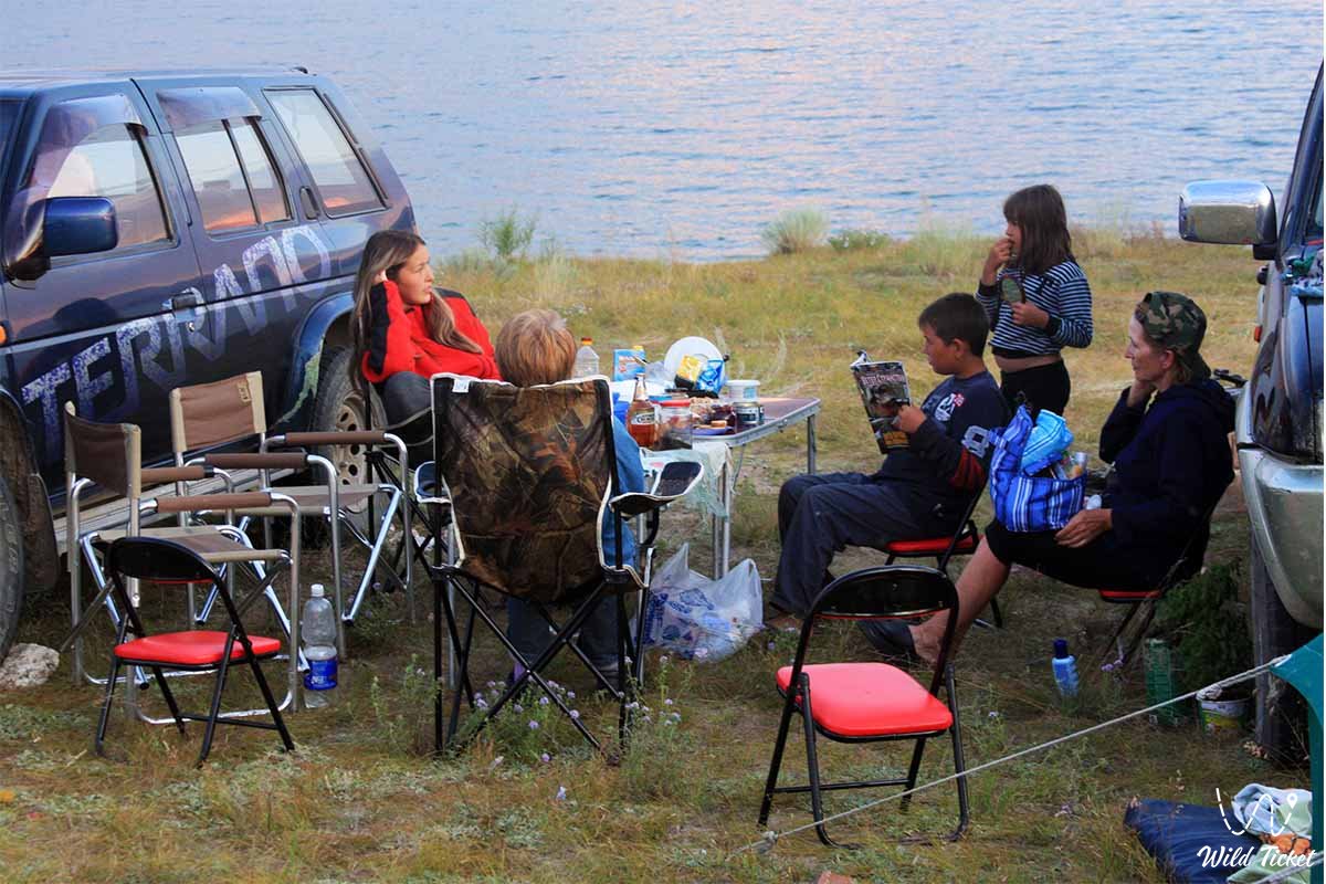
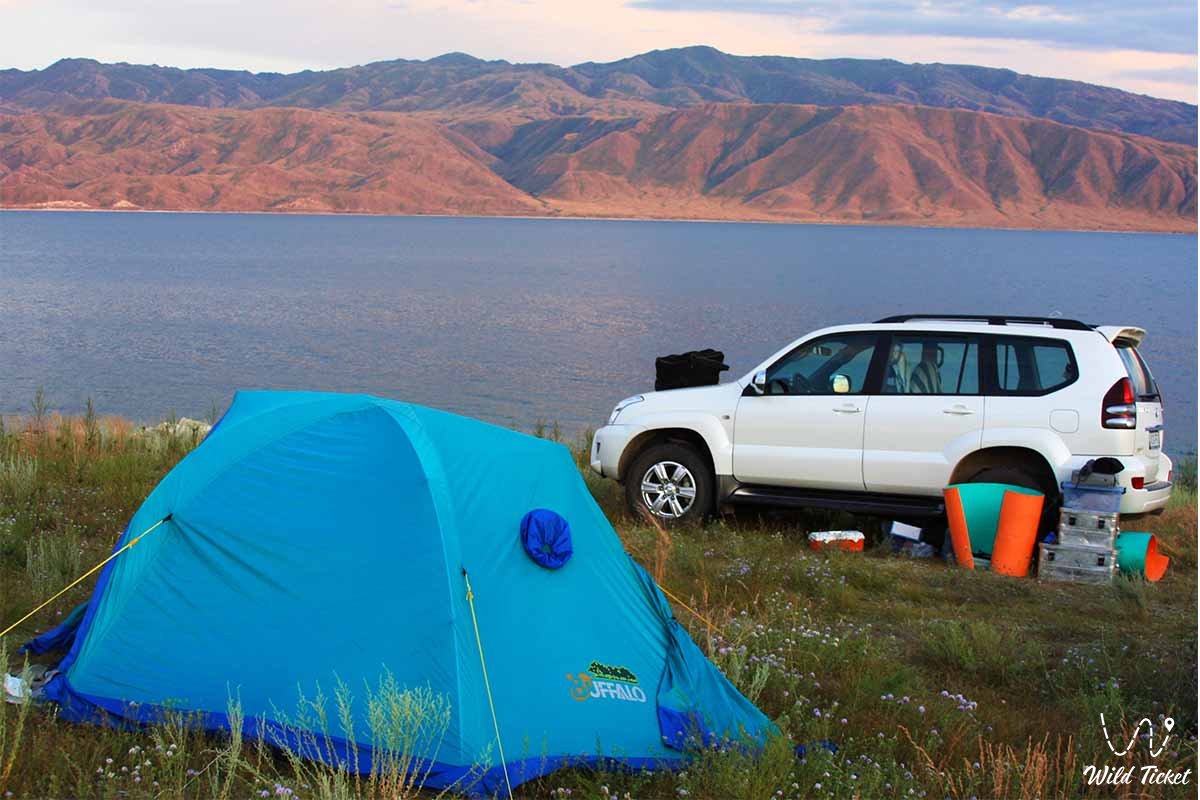
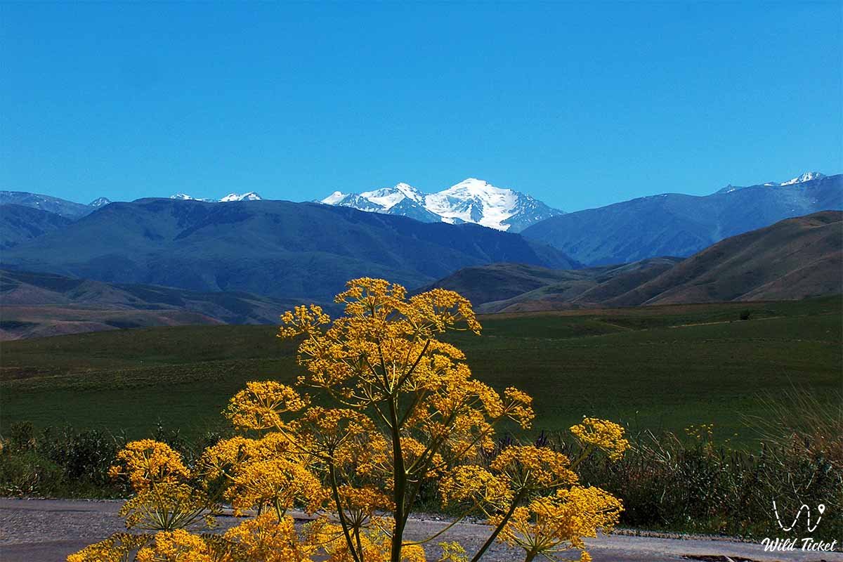
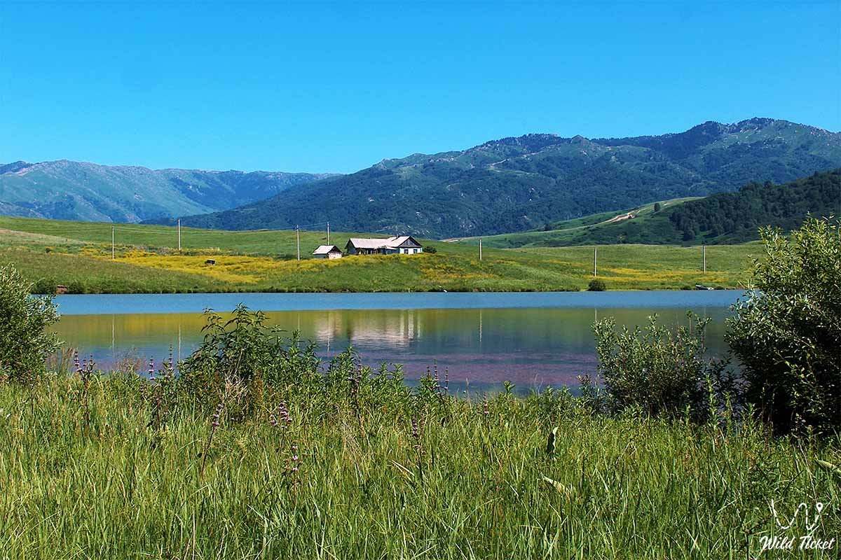
Photogallery: