Atyrau region is a region within Kazakhstan. The administrative center is the city of Atyrau.
Atyrau region borders with the West Kazakhstan region, Mangistau region, Aktobe region and Astrakhan region of the Russian Federation.
It was founded on January 15, 1938.
Geography
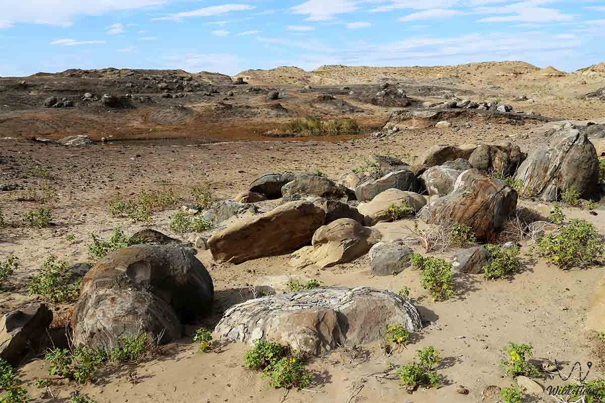
The region is located on the Caspian lowland, north and east of the Caspian Sea between the lower reaches of the Volga River in the northwest and the Ustyurt plateau in the southeast. The surface is flat, small mountains in the north. The climate is sharply continental, extremely arid, with hot summers and moderately cold winters. The Caspian Sea in the part adjacent to the region has a depth of less than 50 m. The coastline is indented little, there are small sand spits and coastal islands.
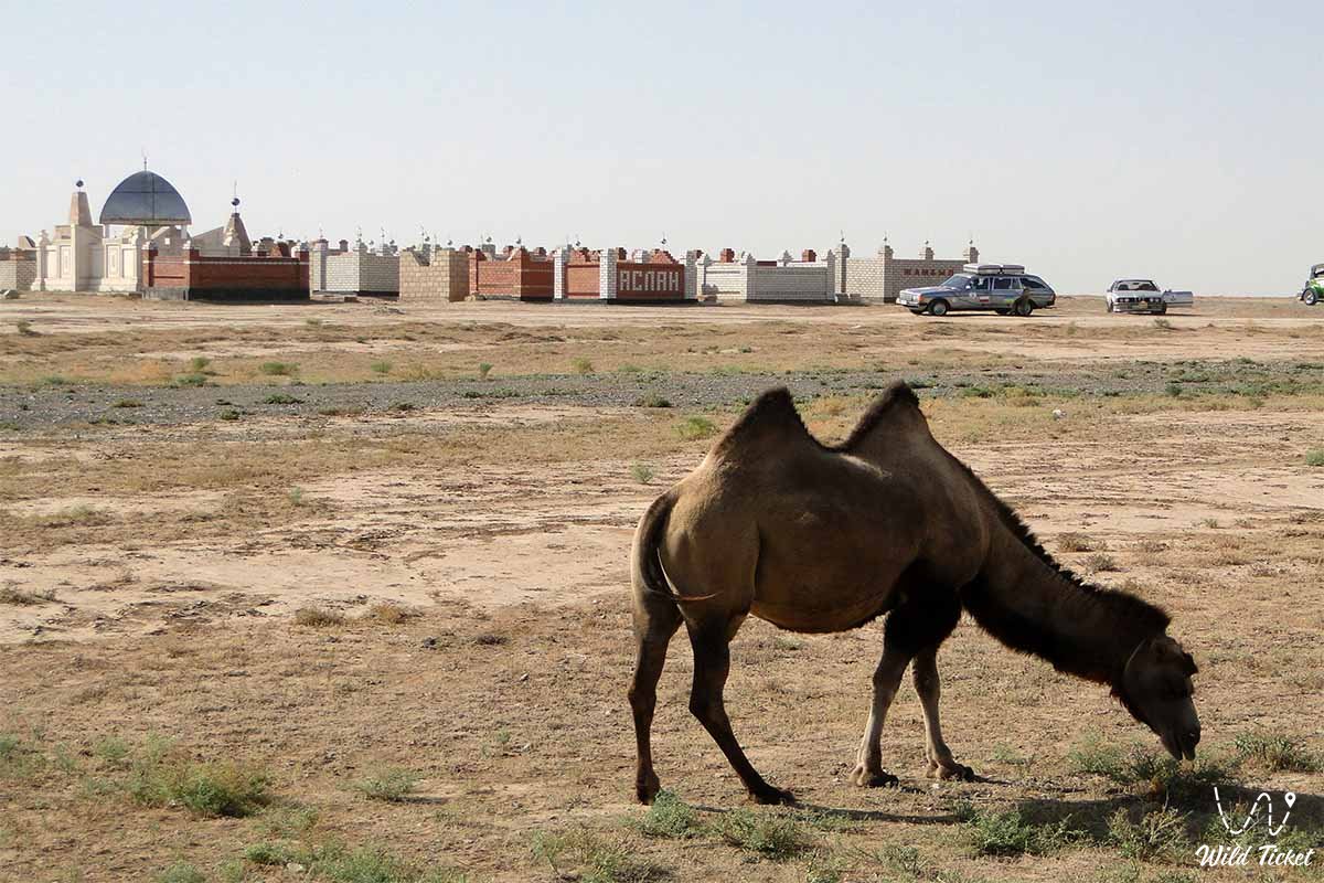
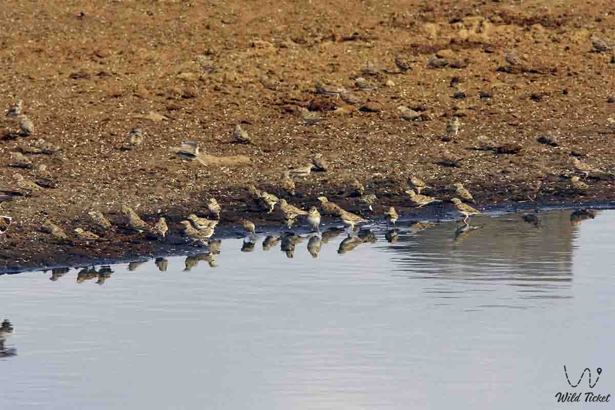
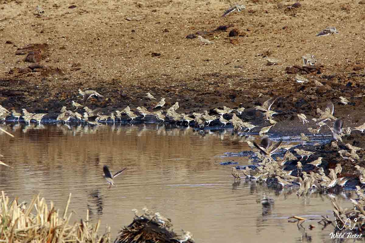
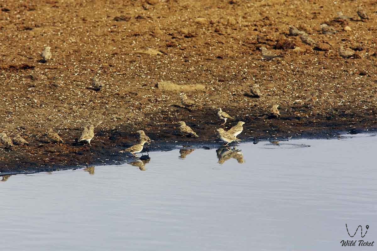
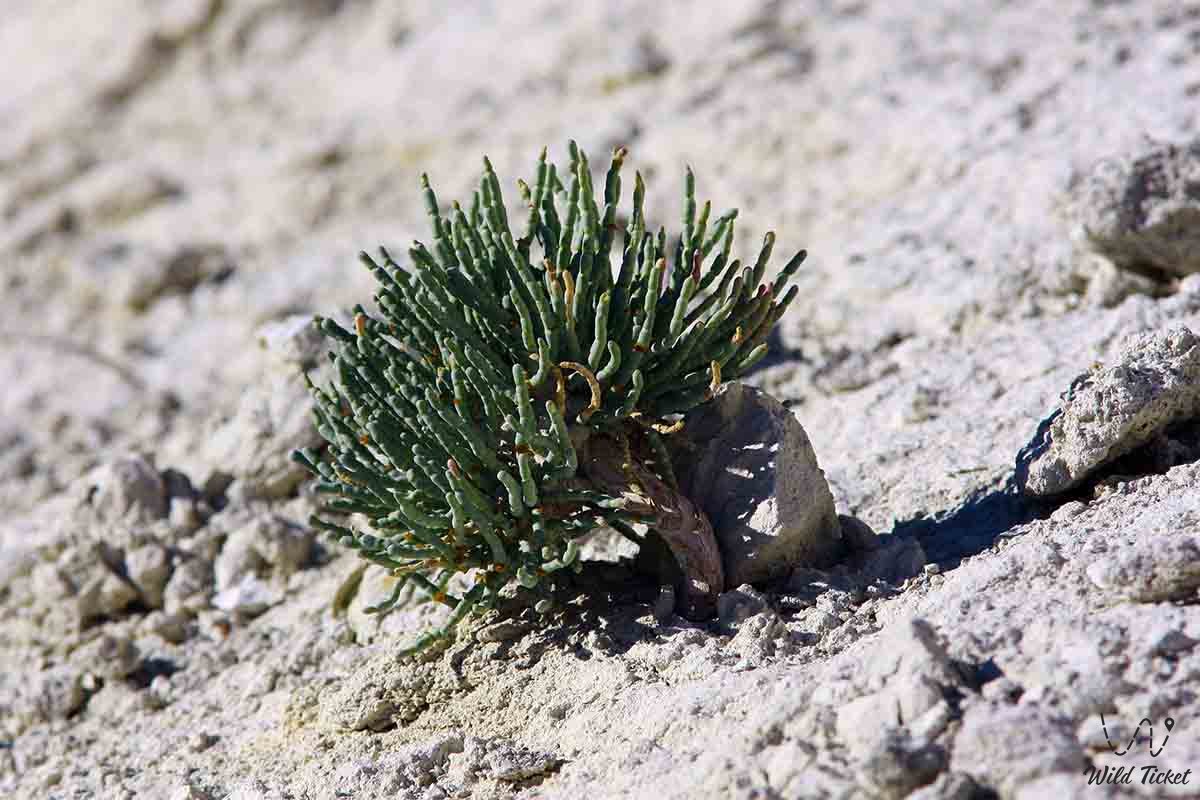
Often along the northern coast of the Caspian Sea, a swampy reed strip stretches; in the floodplains of the Urals and Emba, there are small tree-shrub thickets (tugai). Forests and shrubs occupy less than 1% of the region. Many wild animals have survived: carnivores (wolf, fox-corsac), rodents (ground squirrels, jerboas, hares - grouse and tolai), ungulates (wild boar, saiga), birds (bustard, strep, steppe eagle).
Atyrau region borders on the West with the Astrakhan region of Russia, in the north and northeast, West Kazakhstan region, in the east with Aktobe region (on the border of Aktobe and Atyrau region there is an architectural monument “Alyp-Ana”), in the south - with Mangistau region and the Caspian Sea.
History
Guryev region was formed on January 15, 1938. Its structure included the Baksai, Dengiz, Zhilokosinsky, Ispulsky, Makatsky and Mangistau districts.
In October 1939, the Novobogatinsky district was formed.
History Atyrau region.In 1941, the Fort-Shevchenkovsky district was formed.
On May 11, 1944, the Kzylkuginsky district was formed.
October 30, 1957 was formed Guryevsky district. Novobogatinsky district was abolished.
On January 2, 1963, the Ispulsky and Baksai districts were merged into the Makhambet industrial region.
January 10, 1963 was formed Balykshinsky industrial region. Makatsky and Zhilokosinsky districts were merged into the Emba industrial region.
November 3, 1963 Balykshinsky industrial area was abolished.
On October 30, 1964, the Makhambet and Emba industrial areas were abolished, and the Inder and Emba areas were formed.
In January 1966, the Makatsky and Uzensky districts were formed.
On April 25, 1966, the Guryevsky district was renamed the Balykshinsky district.
In February 1977, the Novobogatinsky district was re-formed.
In March 1973, the Mangistau and Uzen districts and the cities of Shevchenko and Fort Shevchenko were transferred to the new Mangyshlak region. The Burykshinsky, Dengiz, Kzylkuginsky, Makatsky, Indersky, Embinsky, Makhambet districts and the city of Guryev remained in the Guryev region.
In 1988, the Mangyshlak region was annexed to the Guryev region. Balykshinsky, Novobogatinsky and Makatsky districts were abolished.
In August 1990, the Balykshinsky and Makatsky districts were restored, and the Novobogatinsky district was restored under the name Isatai district.
On November 4, 1990, the Mangyshlak region was reallocated from the Guryev region.
In February 1992, the Guryev region was renamed to Atyrau, and the city of Guryev to Atyrau.
In 1993, the Emba district was renamed Zhylyoi, and the Dengiz district was renamed Kurmangazinsky.
May 21, 1995 the Balykshin district was abolished.
Administrative regions
Atyrau region is divided into 7 districts and 1 city of regional subordination:
1. Zhylyoi district - Kulsary
2. Inder district - Inderbor
3. Isatai district - Akkistau
4. Kzylkoginsky district - Miyaly
5. Kurmangazinsky district - Kurmangazy
6. Makatsky district - Makat
7. Makhambet district - Makhambet
8. Atyrau city
In total: 2 cities, 15 villages and 56 rural districts.
Ethnic composition
According to the last Soviet census of 1989, the Guryev region totaled 429 thousand inhabitants. It was distinguished by a rather high proportion of ethnic Kazakhs. The non-Kazakh population of the region was 27.5% or 118 thousand people. After the Kazakhs, the largest people of the region were traditionally Russians.
The nineties of the XX century were distinguished by a rapid change in the national composition of the region. The natural growth of Kazakhs was preserved. The 1999 census in Kazakhstan recorded 440 thousand residents in the renamed Atyrau region.
The number of non-Kazakhs declined primarily due to intensive emigration, to a lesser extent due to their natural decline. For Kazakhs, migration growth was characteristic.
At the beginning of 2019, the latest estimates, the population of the Atyrau region reached 633791 people. Representatives of 30 nationalities lived in the region.
Economy
The basis of the region’s economy is oil production. Such oil fields as Tengiz, Dauletaly, Zhana-Makat, Borkildakty, Vostochno-Tegenskoye are located in the region.
The largest enterprises of Atyrau region are:
• Tengizchevroil LLP - production of crude oil, liquefied petroleum gas (LPG), sulfur and dried gas.
• Production branch “EmbaMunayGas” JSC Exploration Production “KazMunayGas”.
• Atyrau refinery
• NCOC (North Caspian Operating Company)
Sights
• On the southeastern border of the region, in the area of Sam Sands, there is the Artyk Mausoleum - a monument of Kazakh cult-funeral architecture of the 19th century. The rich ornament of the mausoleum is made in the technique that was used as far back as the 12th century during the construction of the famous Aisha-Bibi mausoleum.
• Atyrau archaeological sites were discovered in the region.
• Near the railway station of the same name there is an archaeological monument of the Neolithic and Eneolithic periods - Bekbike.
• Sarayshik
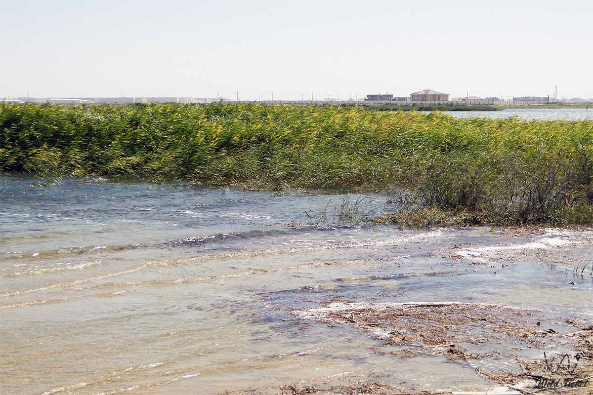
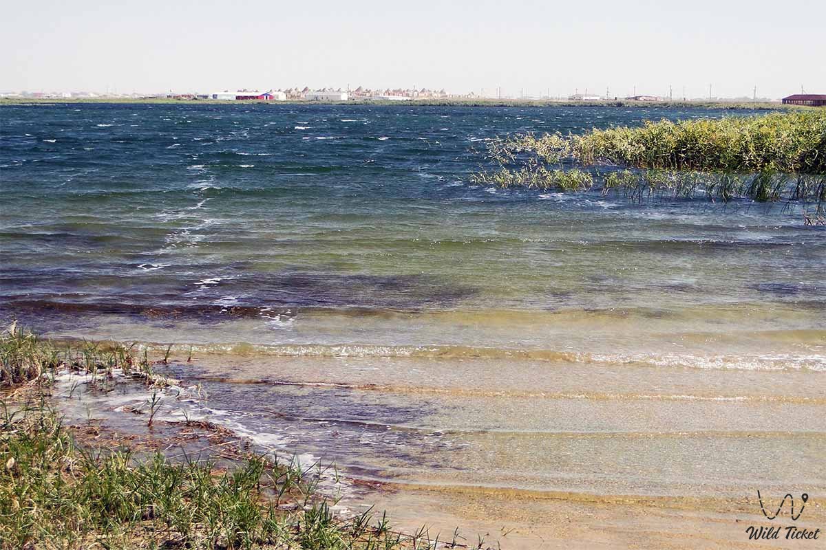
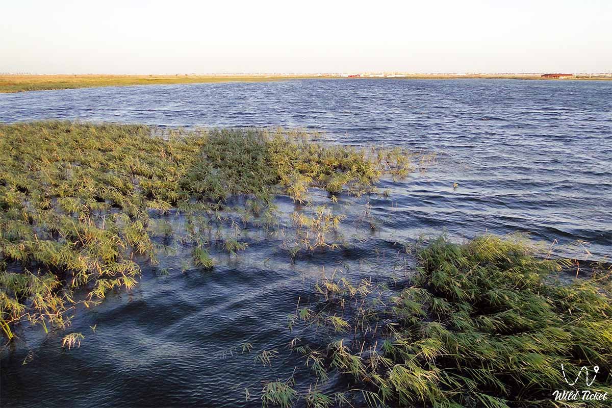
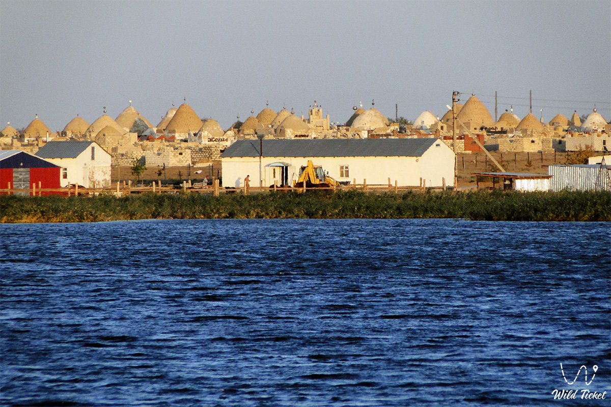
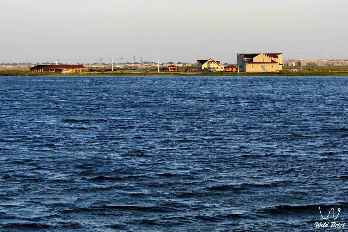
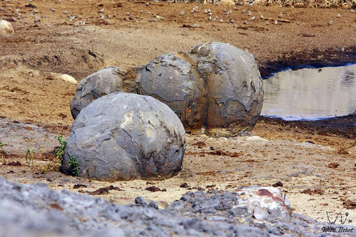
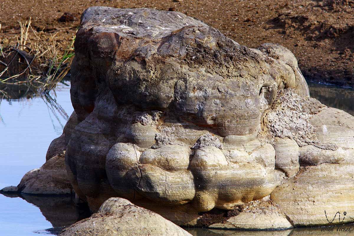
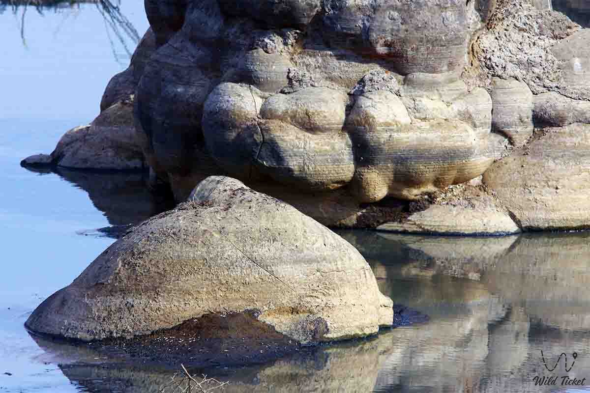
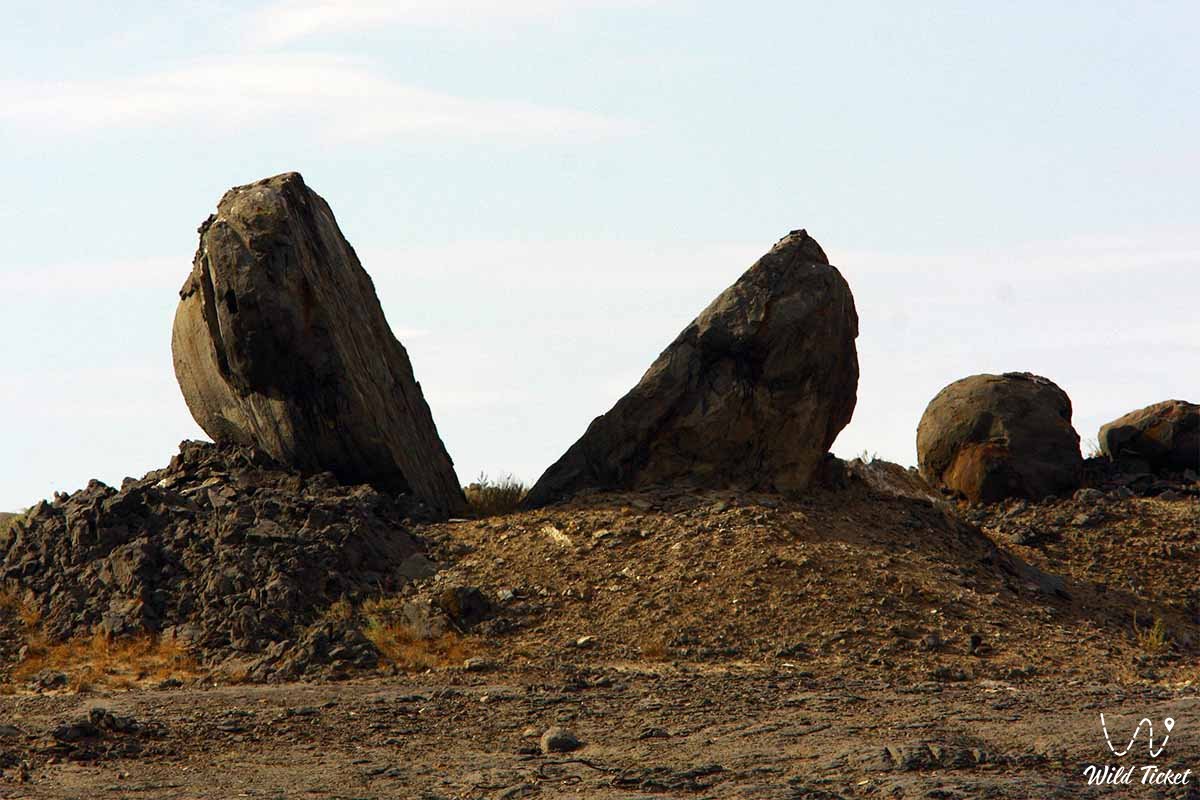
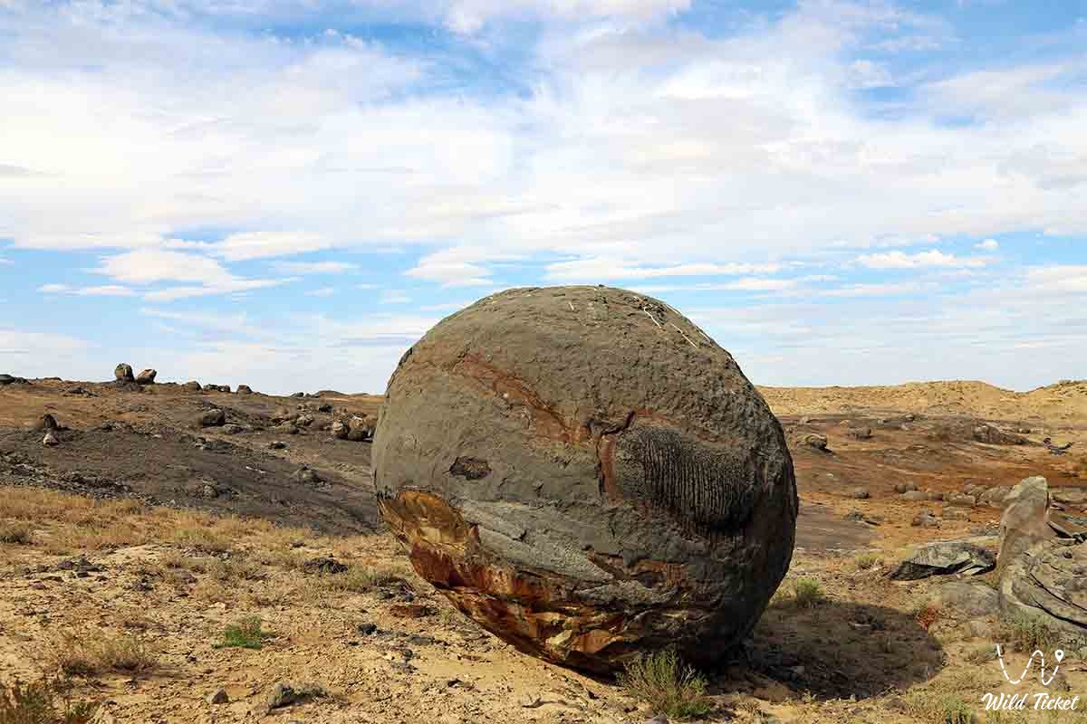
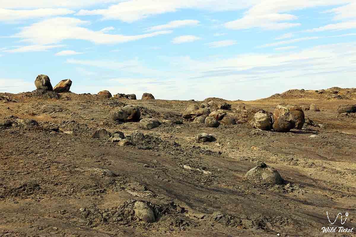
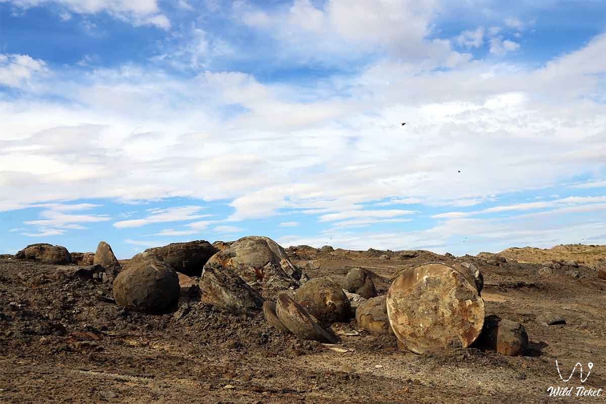
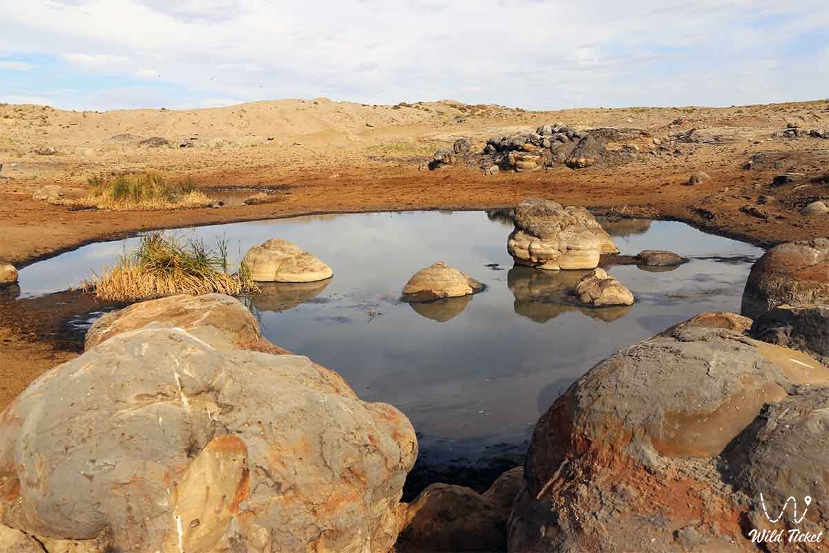
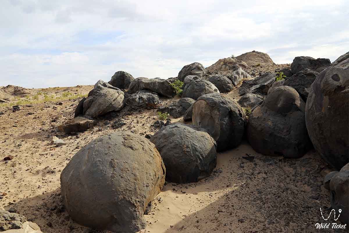
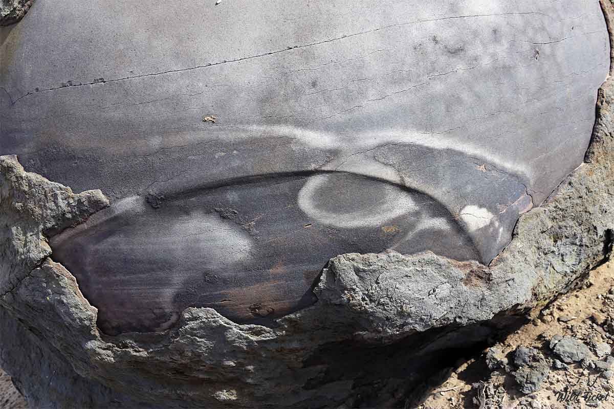
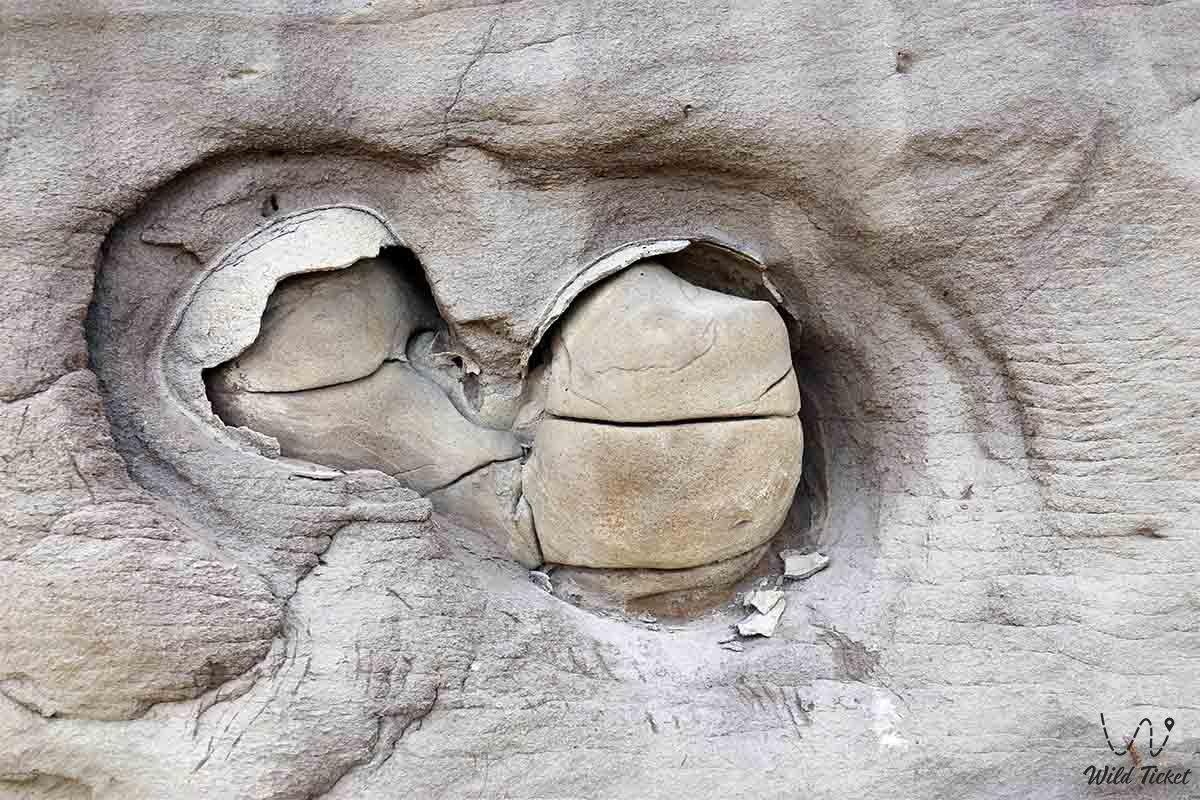
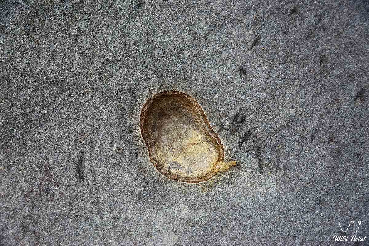
Photogallery: