Travel from Almaty to Aktau -
Sights of Aktau city -
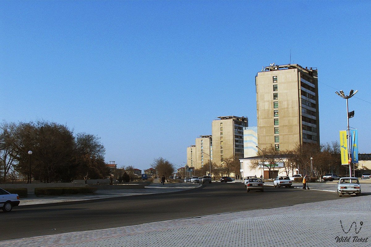
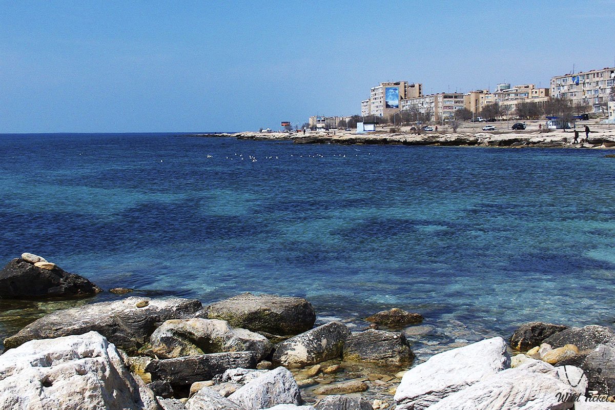
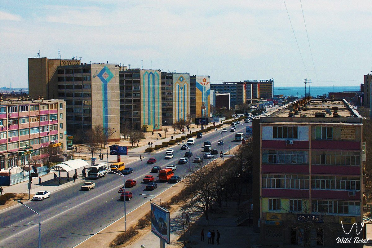
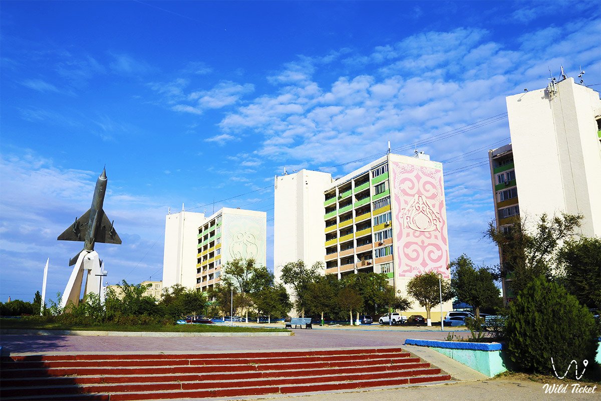
Aktau is a city and a seaport, translated from the Kazakh language Aktau means "White Mountain". The city is located on the eastern shore of the Caspian Sea. 40 kilometers to the southeast of the city is the famous Karakiyanskaya depression. The city of Aktau began to form on the model of the city of Leningrad. The administrative structure of Aktau city includes the village of Umirzak. There are two central streets in the city, this is the street of the First President, and Independence Avenue. It is easy to find the right place in the city, since the city is divided into microdistricts.
---------------------------------------------
How to get there -
The city of Aktau is located in the Mangystau region on the shores of the Caspian Sea in Kazakhstan.
GPS coordinates: 43°39'09"N 51°09'27"E
---------------------------------------------
Information for tourists
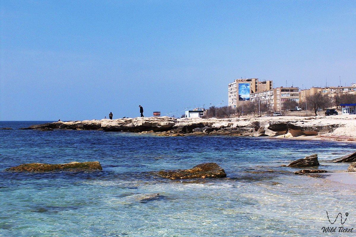
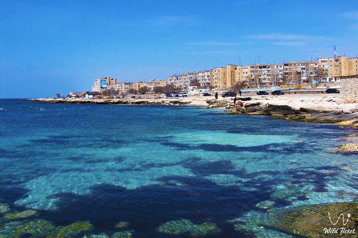
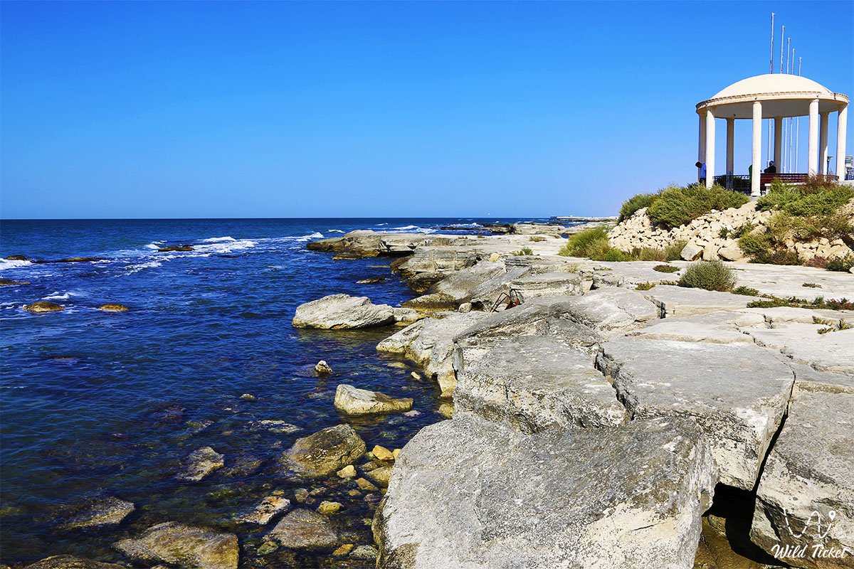
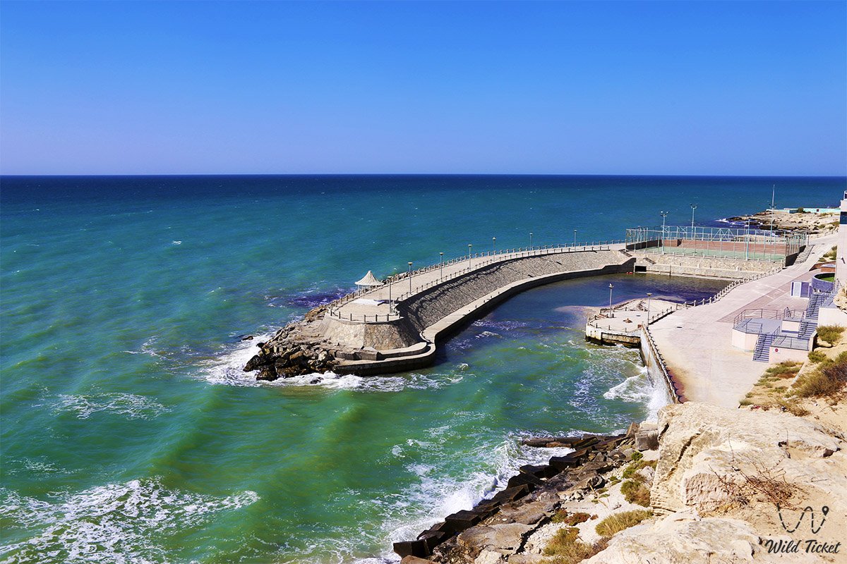
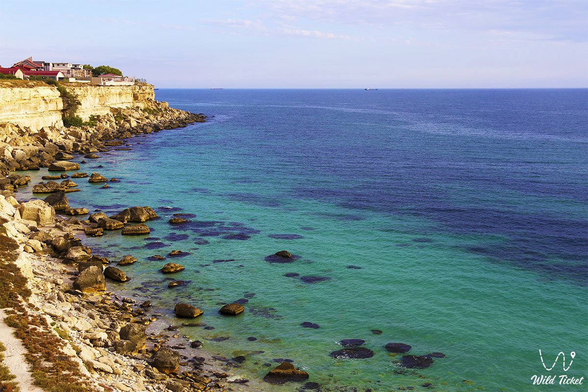
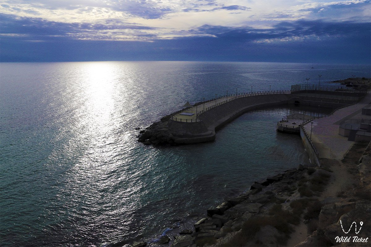
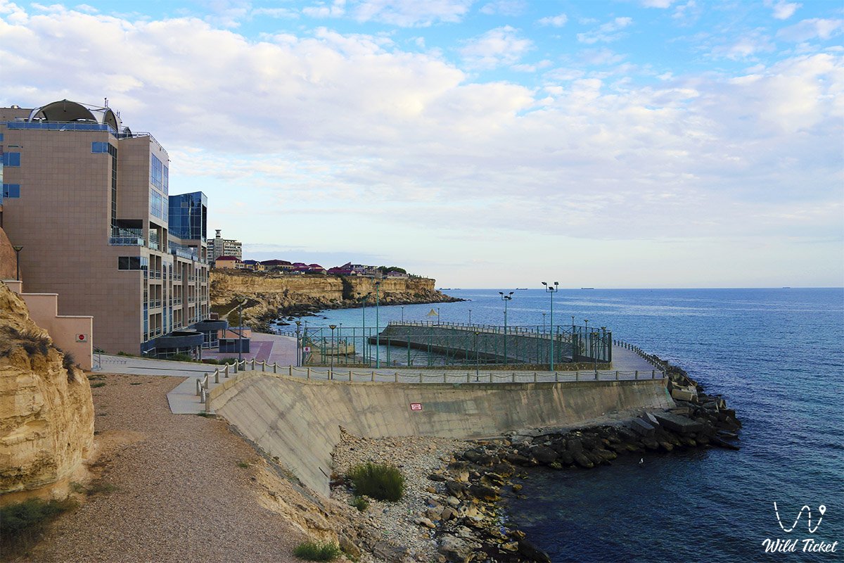
Aktau city is considered the tourist center and business center of the country, the city attracts with its location on the seashore. The waters of the Caspian Sea wash the shores on which the city of Aktau is built, the water in the sea is blue, the purest and transparent. There is no railway station in the city, so trains arrive at Mangystau station. Bus No. 105 and a taxi run between the city and the station, the cost of buses is 80 tenge, the cost of a taxi is about 1000 tenge - 20 km. The city of Aktau is considered an industrial city, oil and gas are extracted in the vicinity of the city, there are also oil platforms in the Caspian Sea itself.
Port of Aktau city
Aktau port is located on the eastern coast of the Caspian Sea. Aktau is the only port in Kazakhstan for the transportation of various international dry cargo, crude oil and petroleum products.
History of Aktau
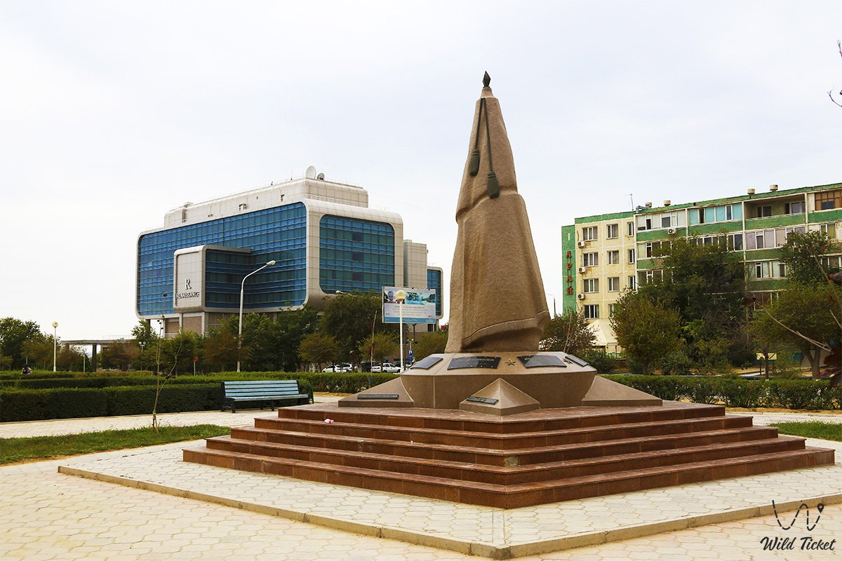
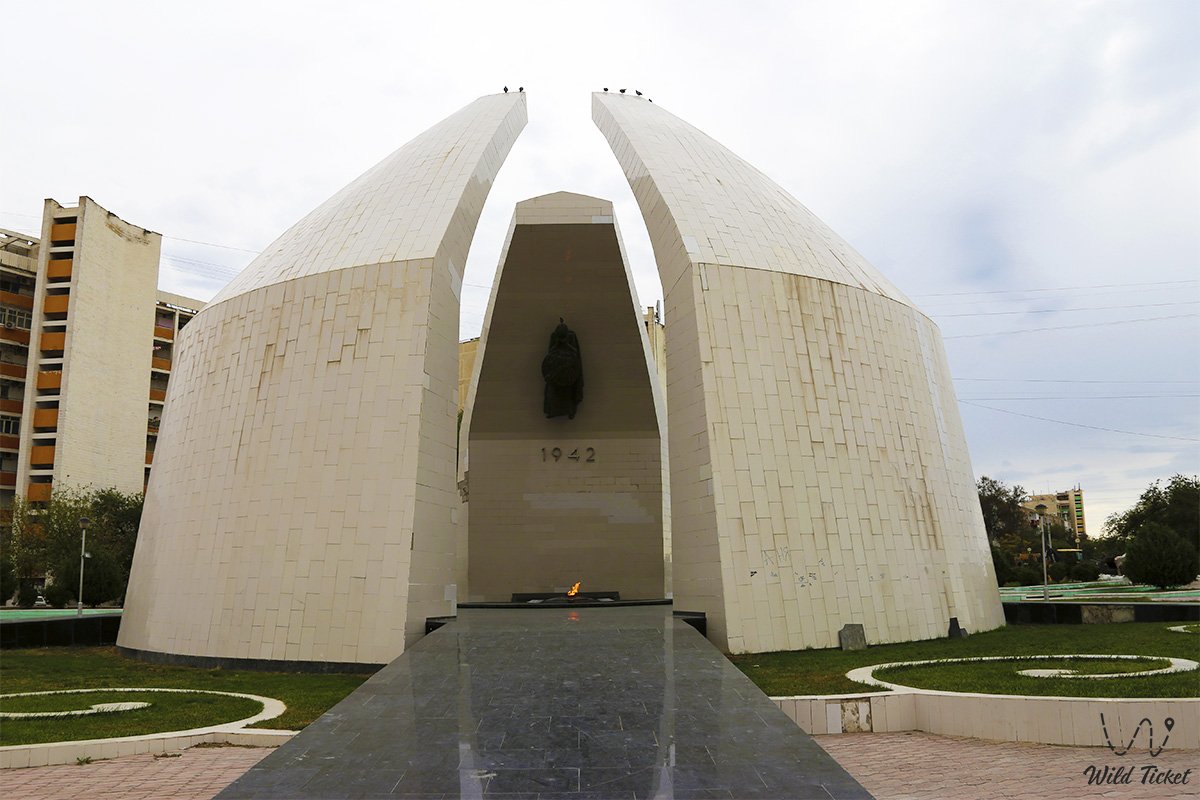
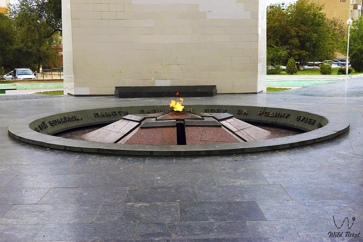
Aktau is the center of Mangystau region (the old name of Mangyshlak region). From 1961 to 1964, the village of Aktau was renamed the city of Aktau. In honor of the Ukrainian poet Taras Shevchenko, who was deported to Kazakhstan in the middle of the XIX century, in 1964-1991 it was renamed the city of Shevchenko. It is an industrial city. Its appearance was influenced by the decision of the leadership of the Soviet Union to create a nuclear shield of the country. As a result, a unique complex was created capable of performing operations such as uranium ore extraction, processing and enrichment.
After the collapse of the Soviet Union, Aktau became the center of processing of the oil and gas fields Zhetybai, Kalamkas, Karazhanbas, Atambai-Sarytobe, Oymasha, Komsomol, northern Buzachi, Karakuduk, Tolkyn, Arman discovered and newly explored in the XX century. The general plan of the city was approved in 1968. The design and construction work was conducted under the supervision of architect A.V. Korotkov. A group of architects-designers and builders creating an architectural ensemble of Aktau city, where the seashore is suitable for the recreation of the population and the development of a water port, were awarded state prizes and a gold medal of the International Union of Architects for providing water for parking people in harsh natural conditions.
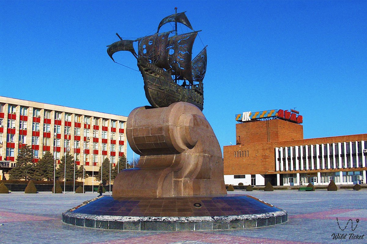
Culture of Aktau
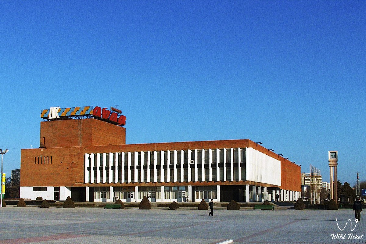
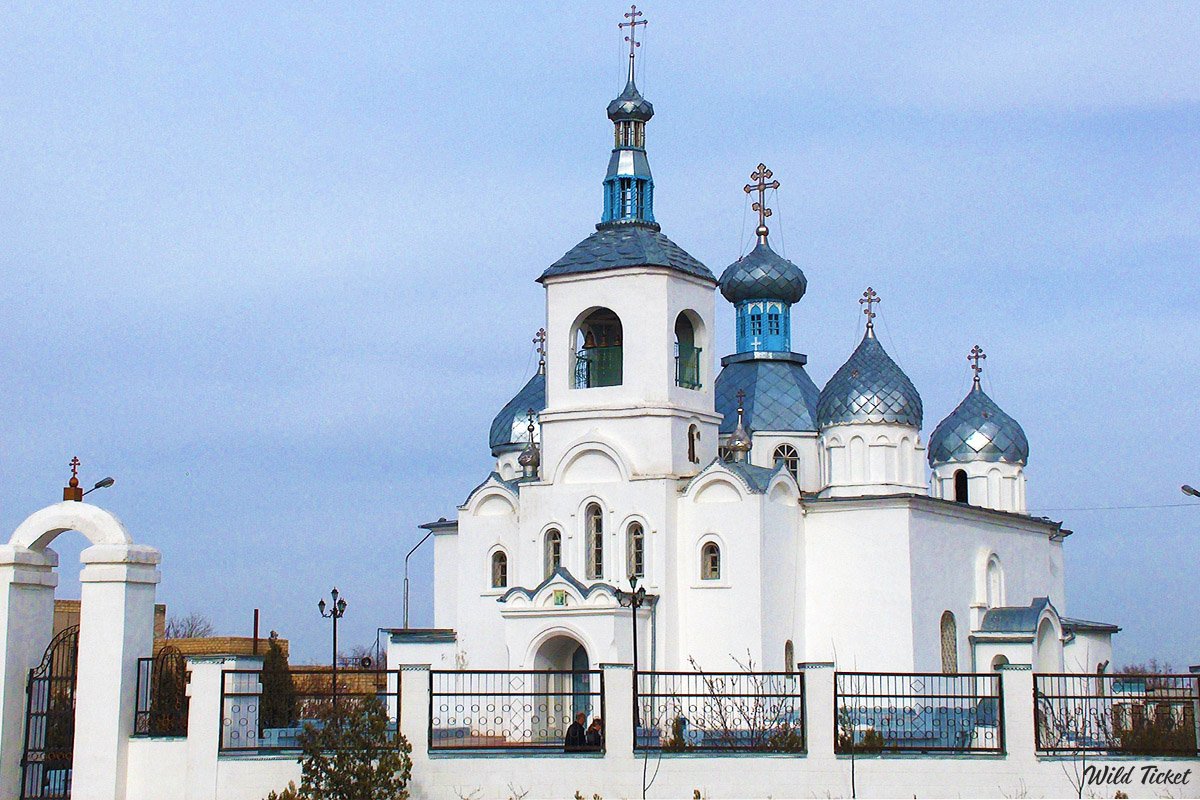
Aktau has the Abai Palace of Culture, the N.Zhanturin Drama Theater, many cinemas (Veteran, Astana, Youth, etc.), night clubs (Laguna, Diskai, Eliko, etc.). There are many entertainment centers, sports and cultural complexes, recreation places on the seashore. In addition, country camps and recreation areas, which are considered private property, have a great impact on the recreation and pastime of the population.
Photogallery: