Enigmatic tract of Mangystau concretions amidst primeval steppes and plateaus –
The Torysh Valley (also marked on maps and in guidebooks as the Torysh Tract, Valley of Balls, or Valley of Spherical Concretions) represents a unique geological phenomenon of global significance, situated at the western end of the Western Karatau Ridge in the Mangystau district of the Mangystau region.
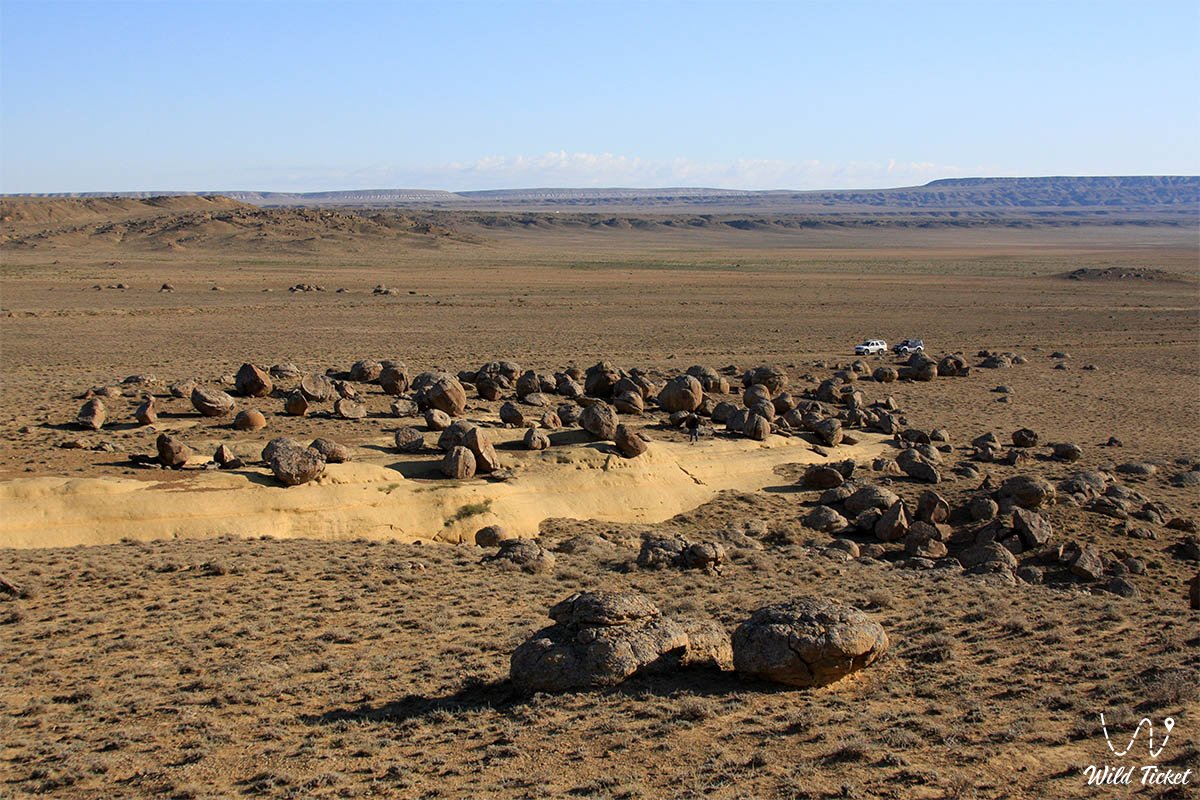
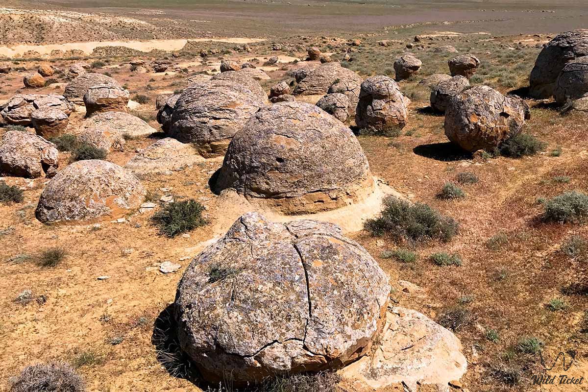
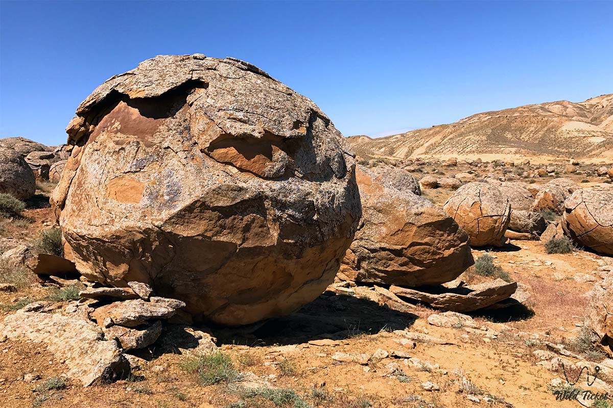
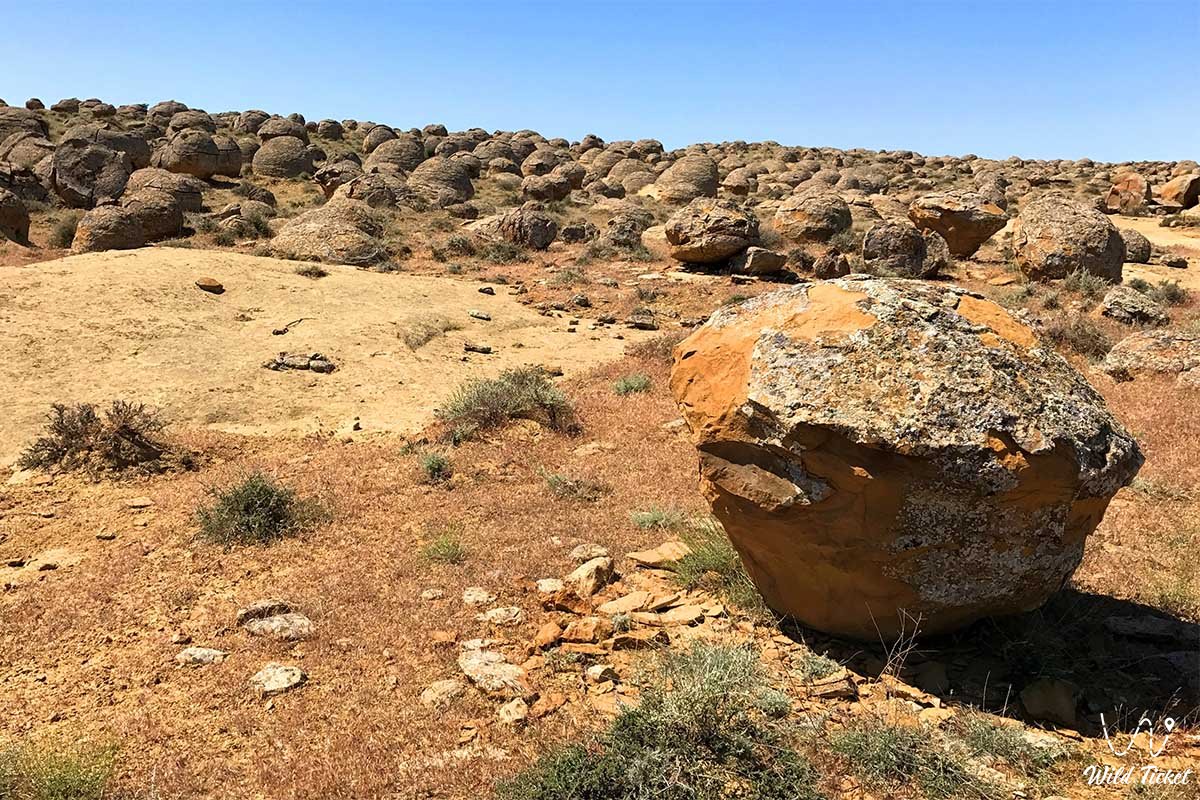
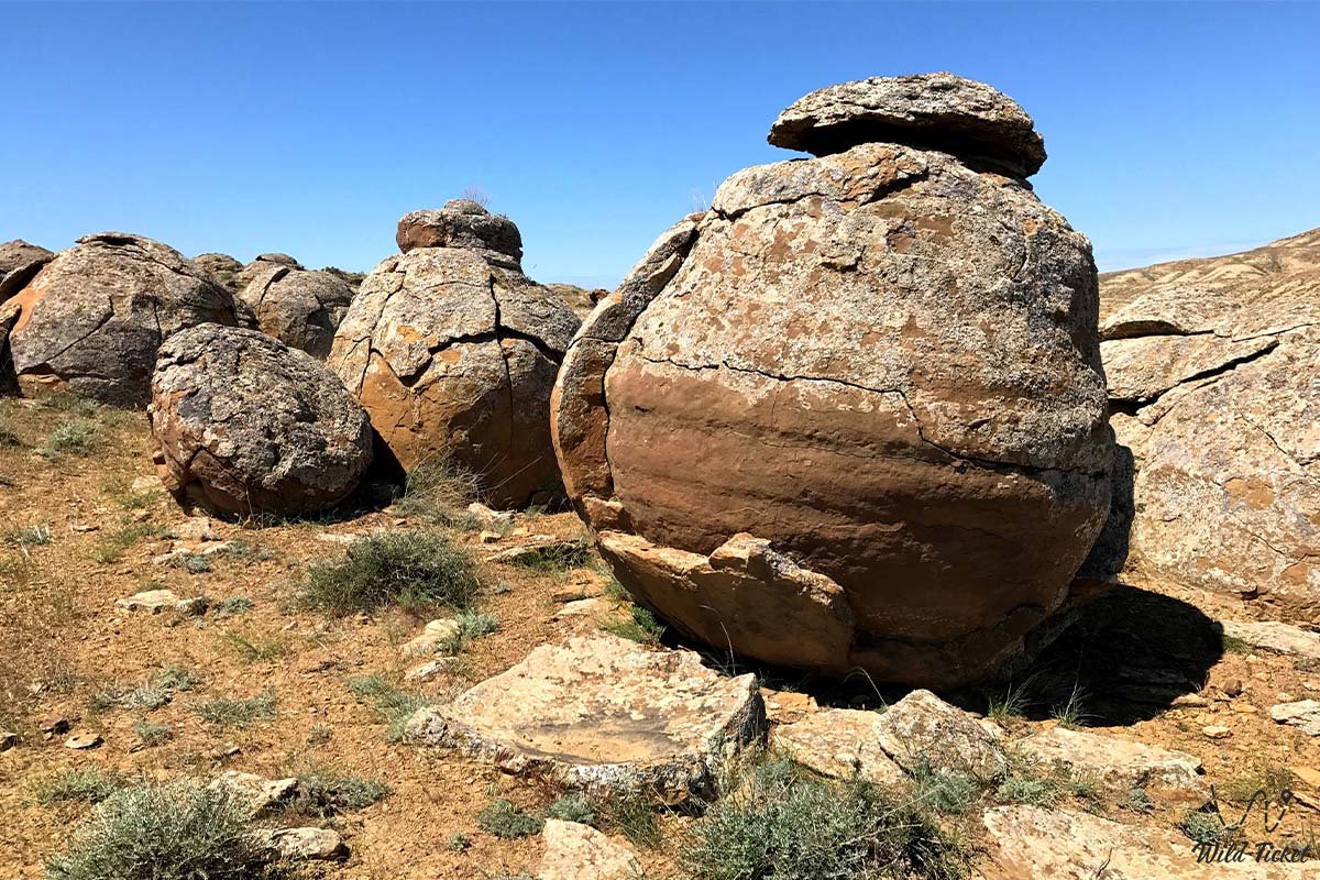
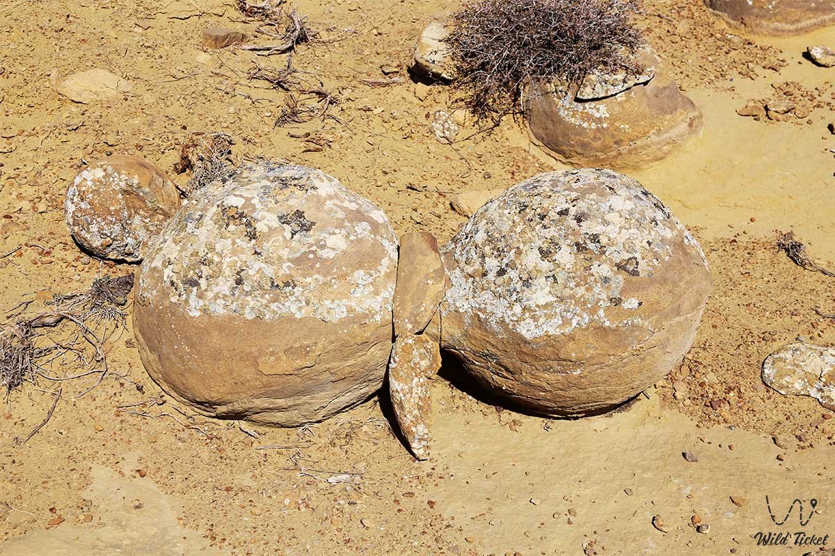
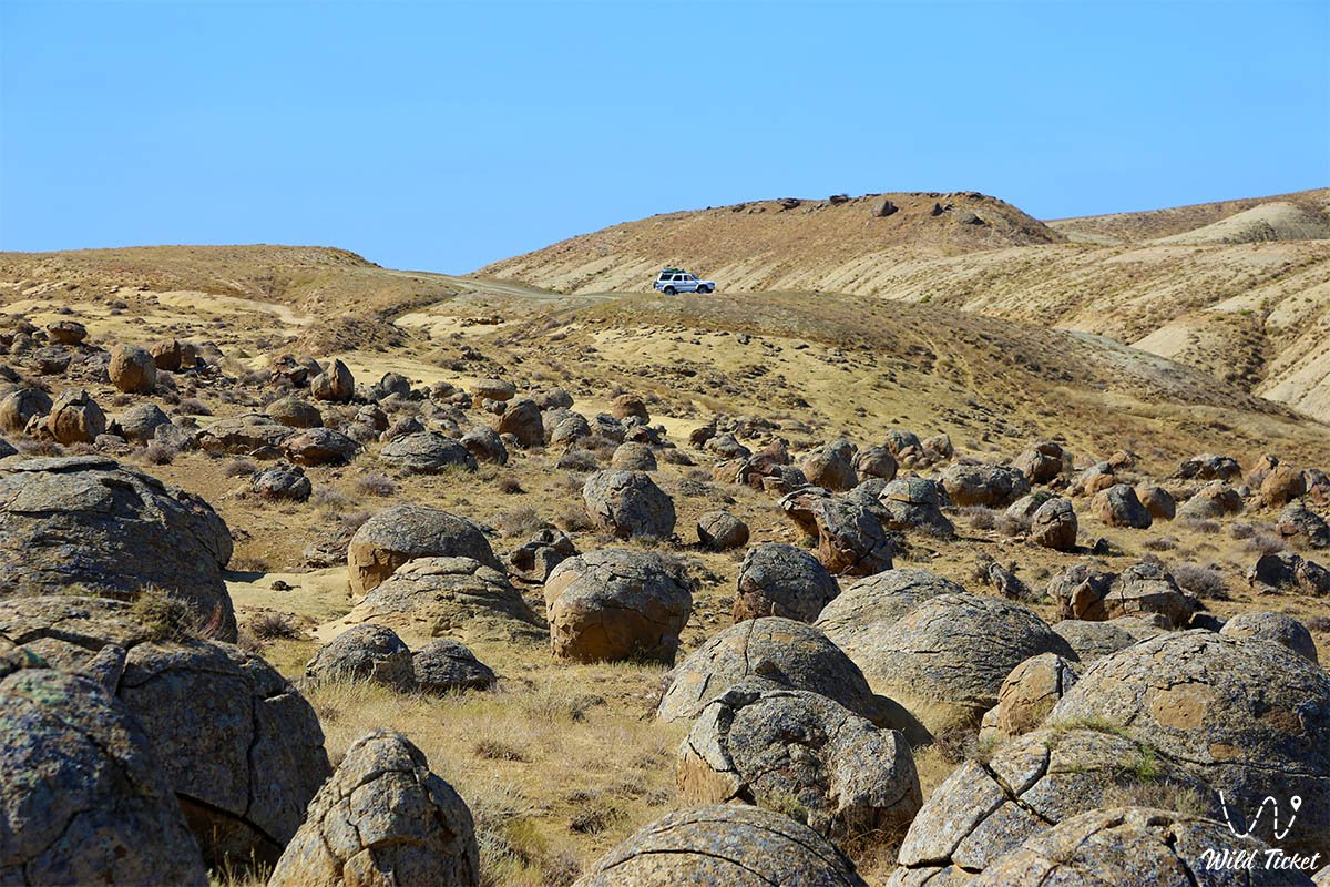
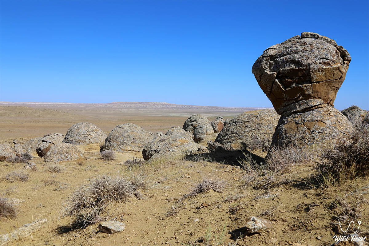
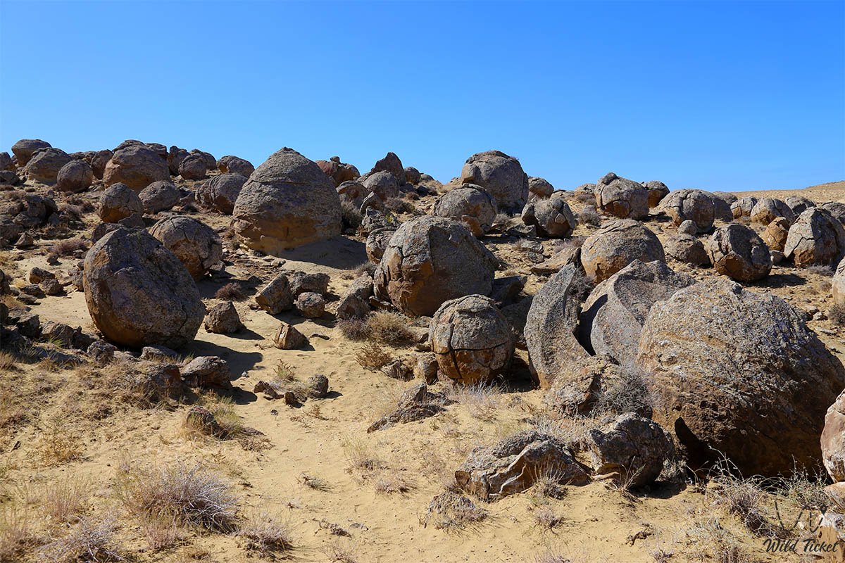
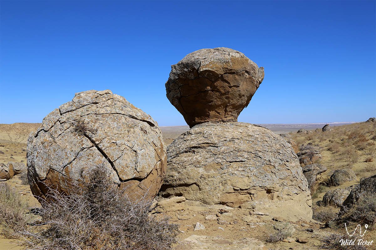
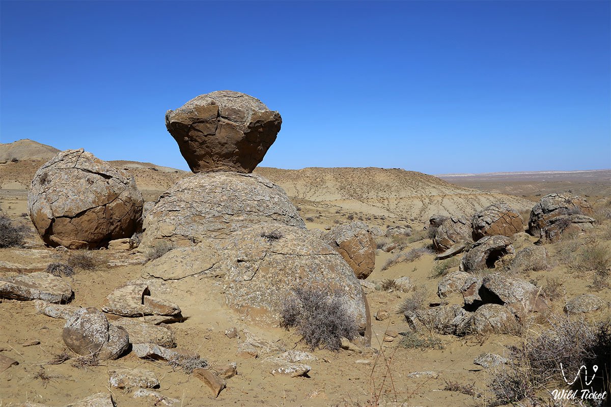
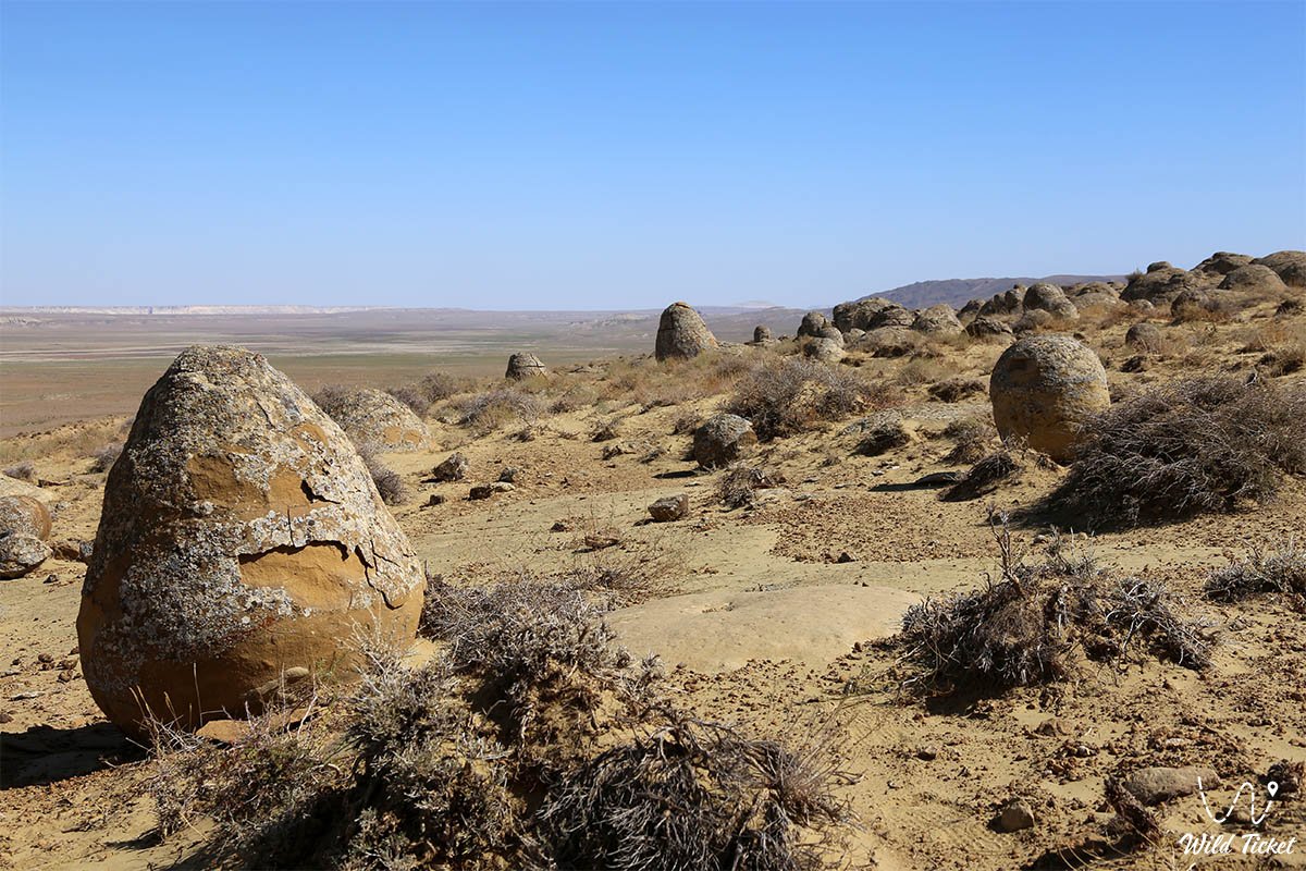
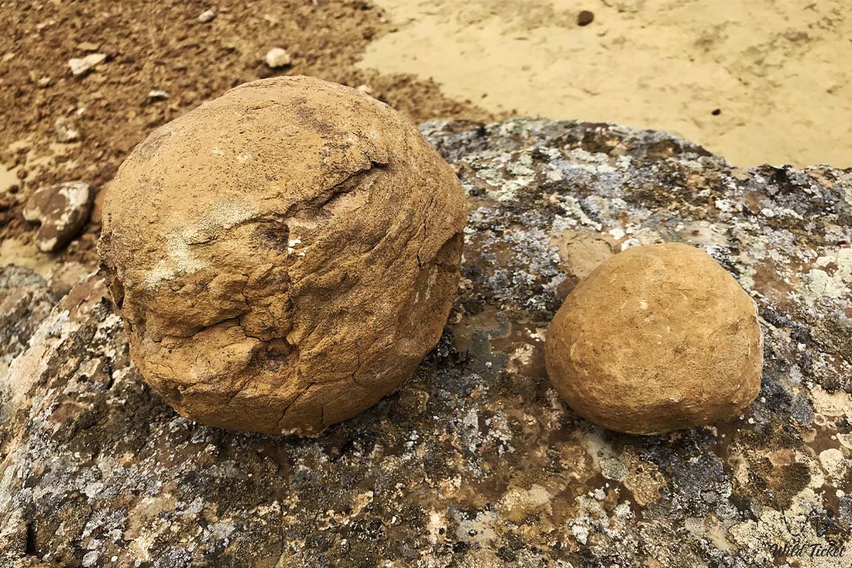
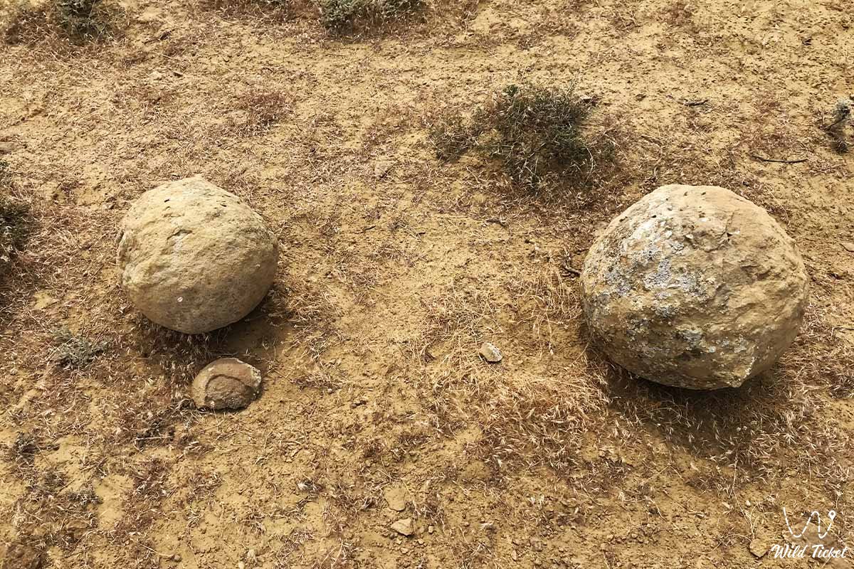
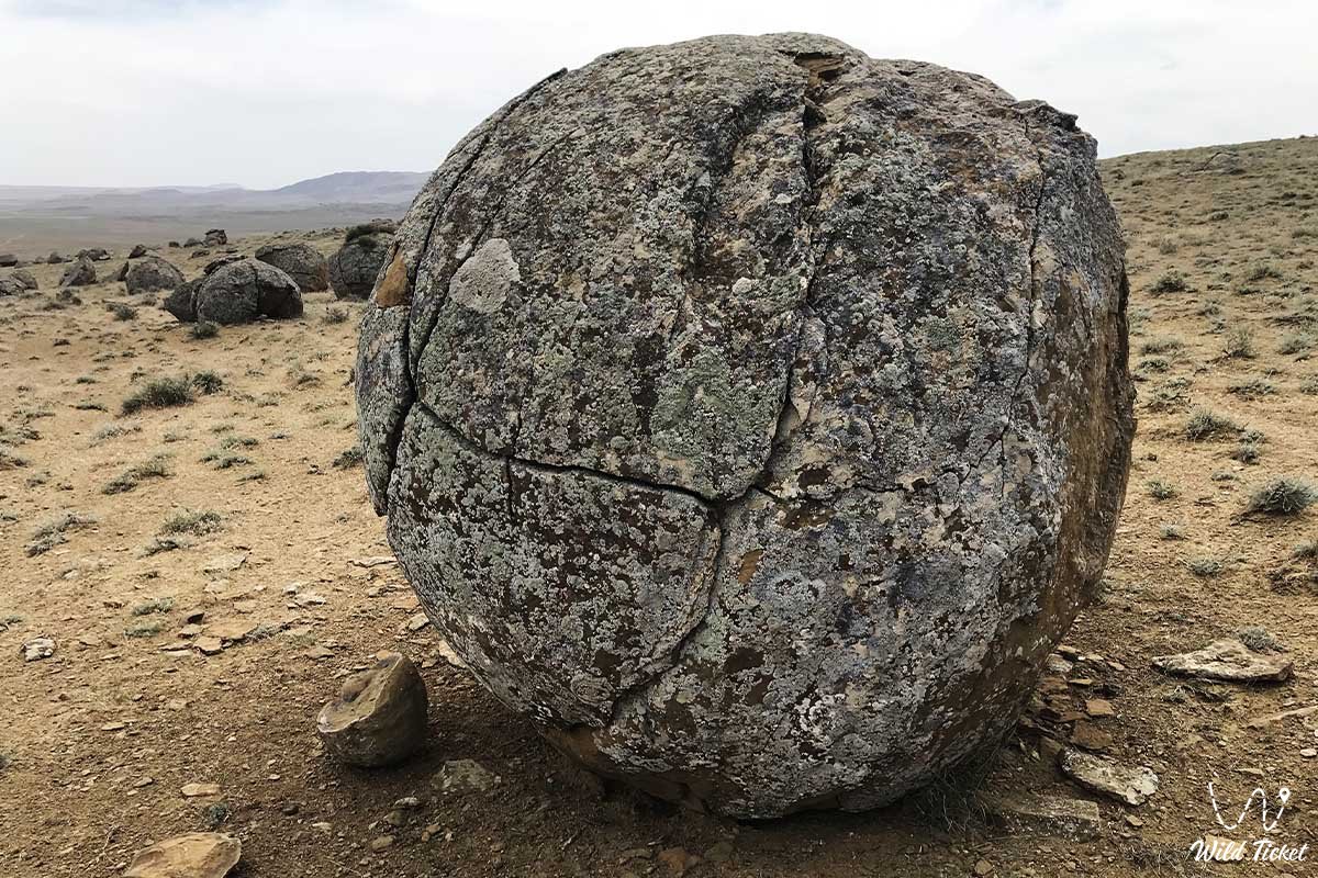
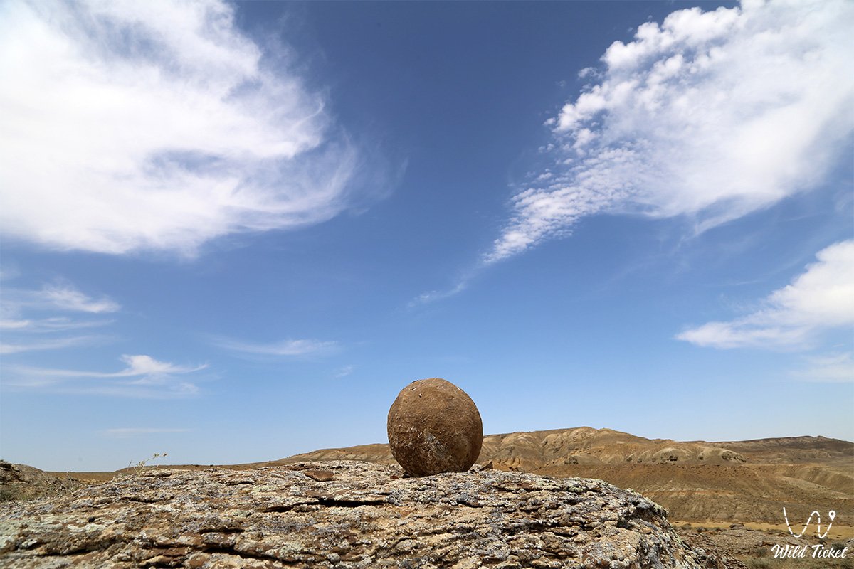
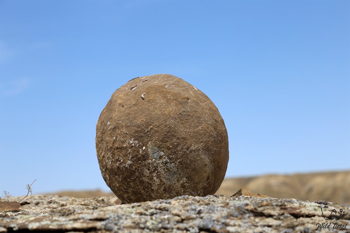
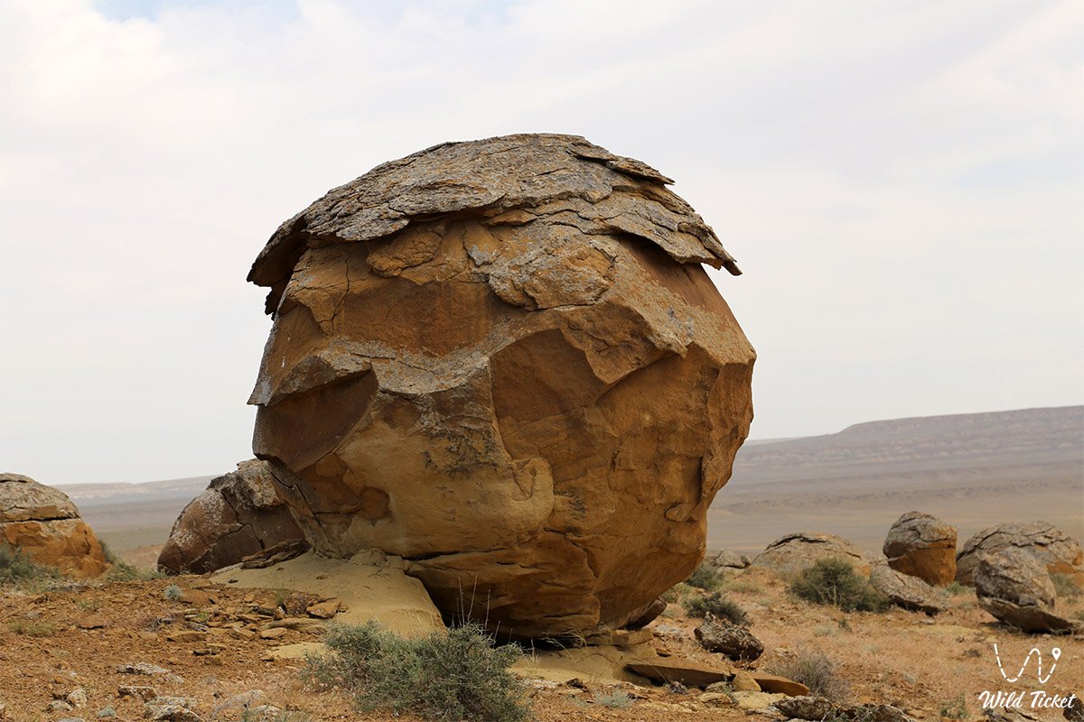
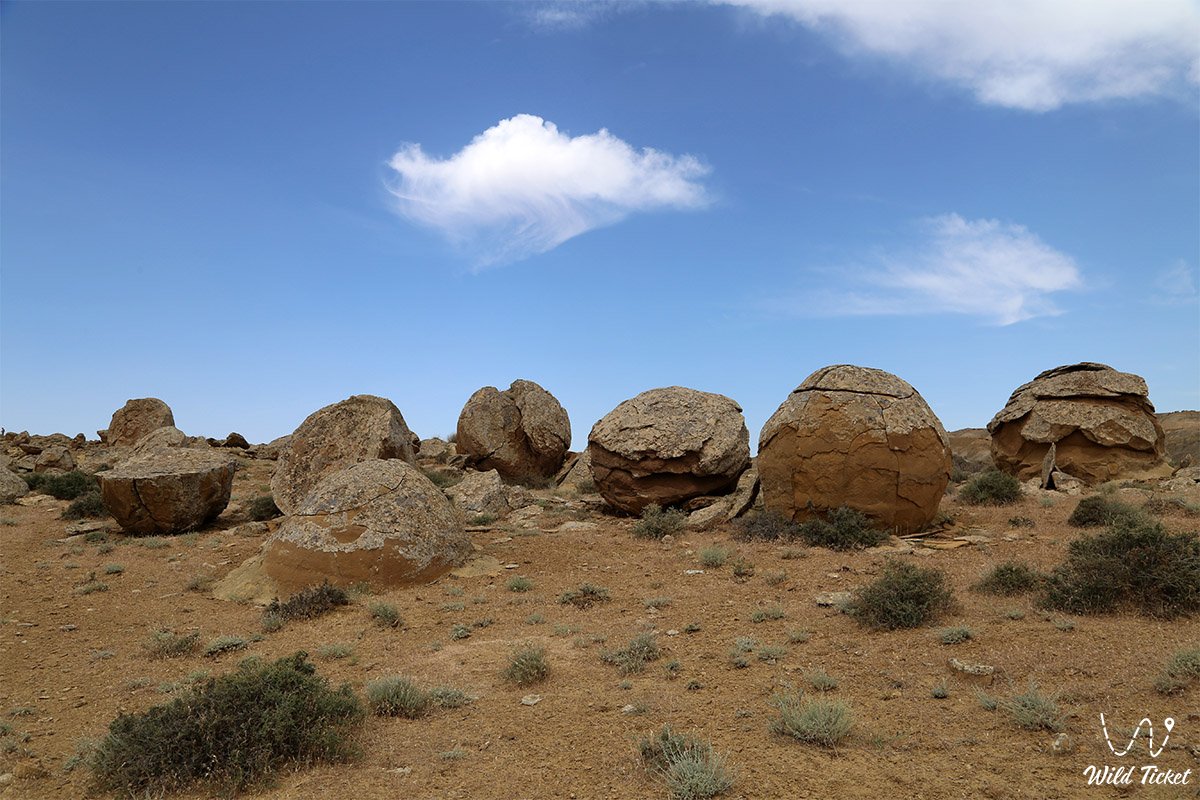
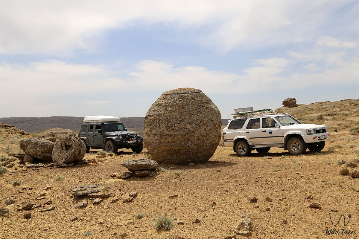
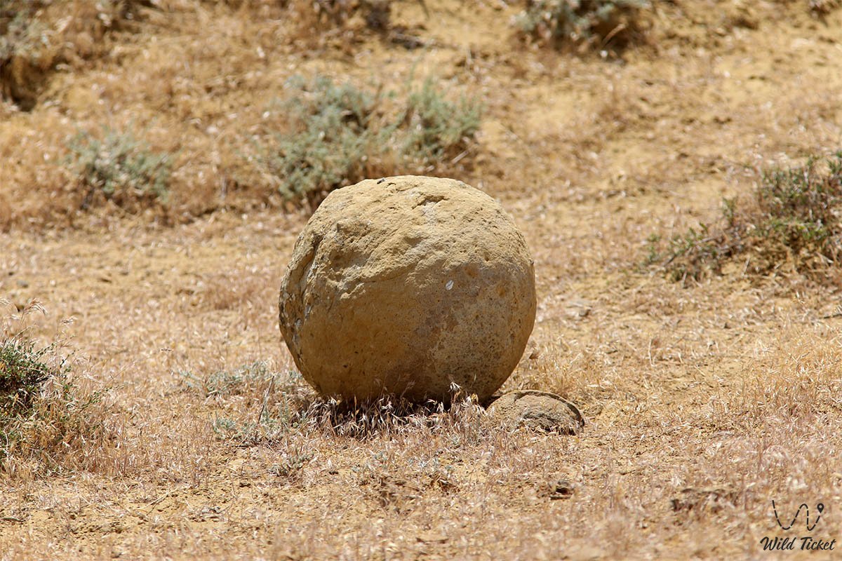
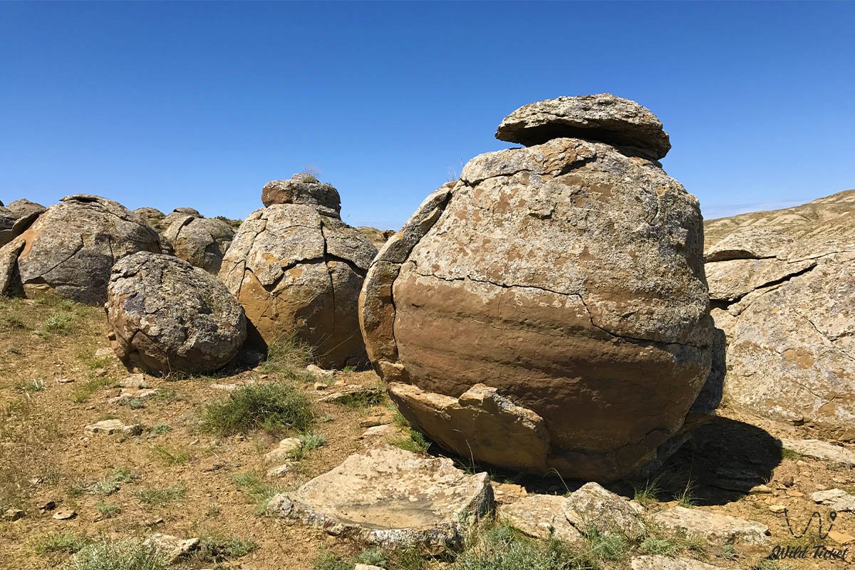
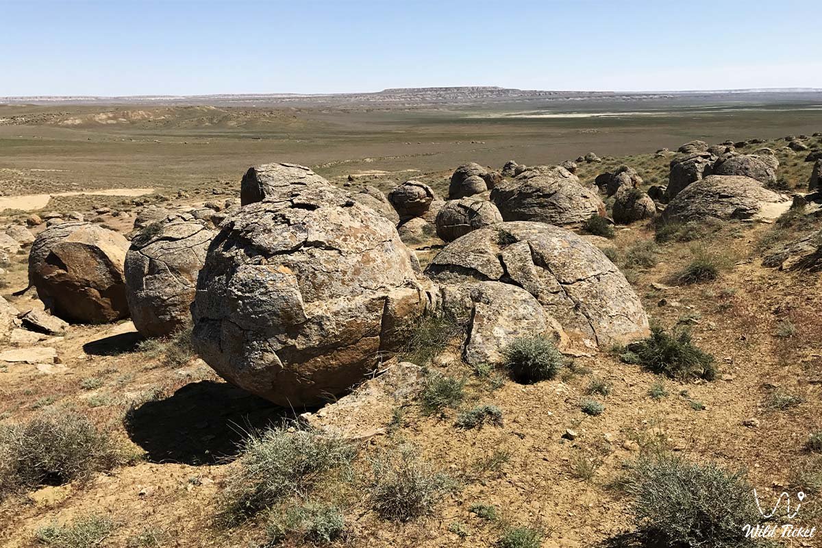
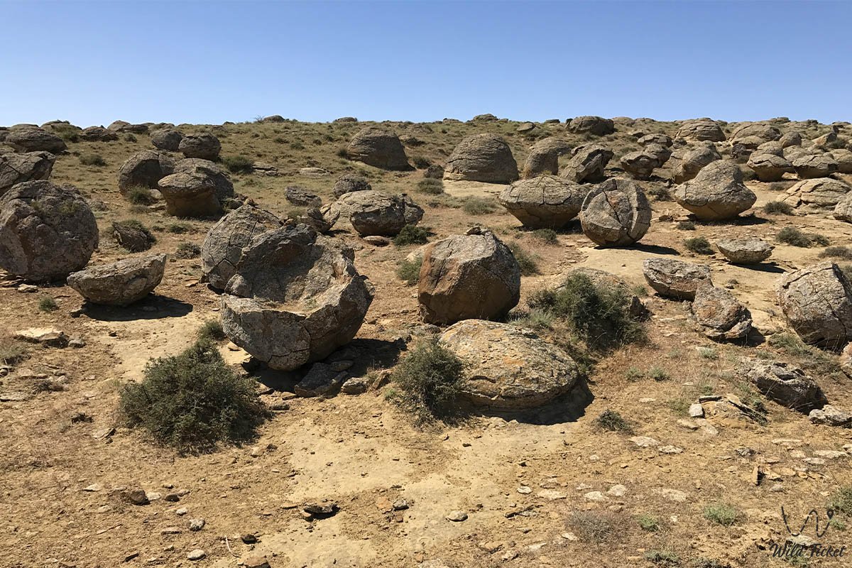
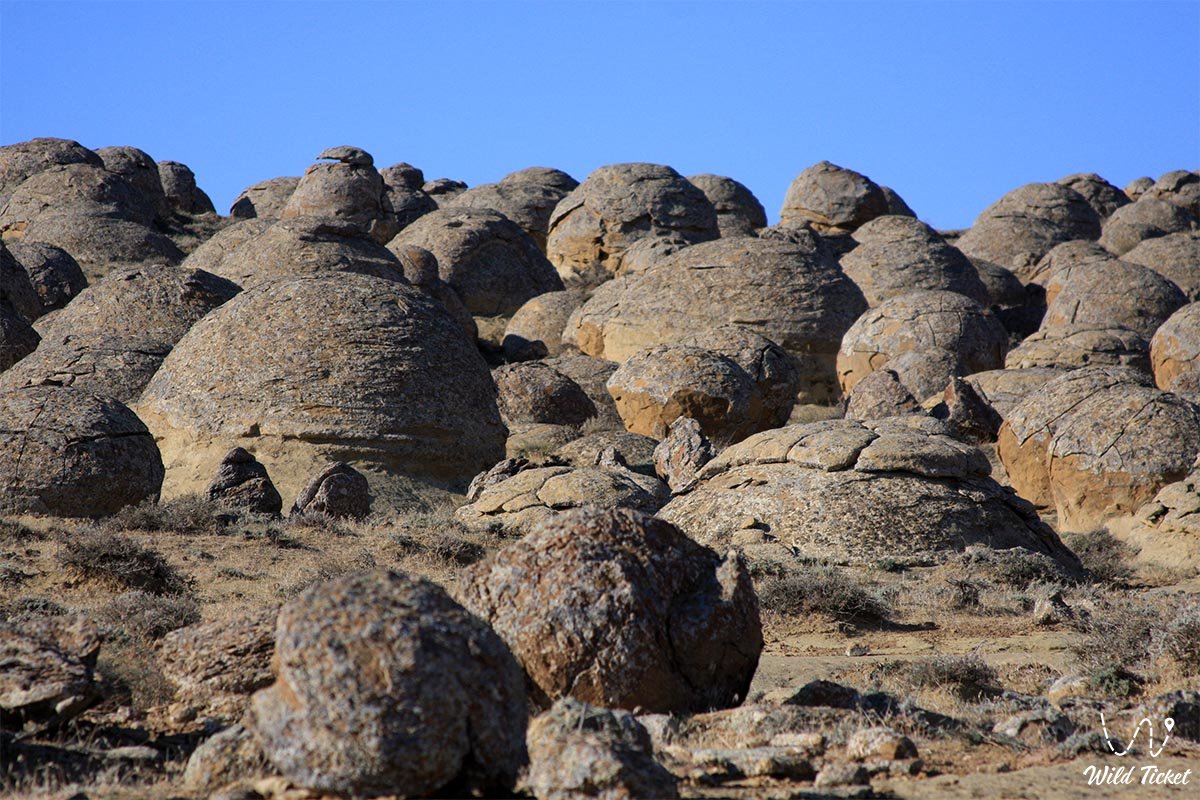
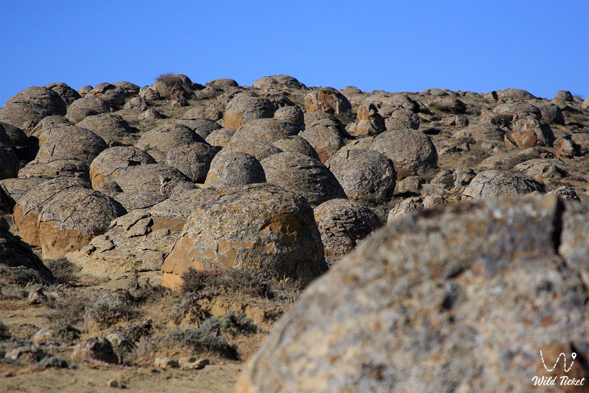
Sprawling across open steppe expanses, the tract is strewn with thousands of giant spherical stone formations, as if crafted by giants for a game of bowling, golf, or billiards. These formations represent natural mineral concretions ranging from 10–15 centimeters to 3–4 meters in diameter, which originated tens of millions of years ago within the strata of the ancient Tethys Ocean.
The primary enigma of Torysh lies in the origin of these stone colossi, a mystery that scientists have grappled with for over 250 years. Layer by layer, mineral substances crystallized around organic centers on the seabed, forming the most grandiose accumulation of flawless stone spheres on the planet, vastly surpassing similar sites in New Zealand, the United States, and Argentina. Scientists have yet to definitively determine how the spherical concretions appeared, with several hypotheses coexisting regarding their genesis.
The geographical surroundings of the valley connect it to the primary sacred and natural monuments of Mangyshlak. Just 17.5 kilometers to the west lies the village of Tauchik, and 50 kilometers to the west on the chinks of Tupkaragan stands the unique 10th–13th-century Shakpak-Ata underground mosque adorned with carved ornamental work. Extending 40–50 kilometers to the east and southeast is the panorama of the sacred white Mount Sherkala ("Lion's Fortress", 332 meters high), the ruins of the medieval Silk Road city of Kyzyl-Kala in the Akmyshsay tract, the variegated Jurassic clays of Kokkala, and the table-top castle massifs of Airakty-Shomanay. To the west stretch Kapamsay canyon, the Tamshaly oasis, the Saura oasis, the saline heart-shaped Lake Kuzdykary, and the grandiose Zhygylgan sinkhole bearing fossilized traces of ancient animals.
Today, the Torysh tract and valley is recognized as one of the premier enigmas and calling cards of Kazakhstan tourism, attracting geologists, photographers, and travelers with the opportunity to touch the secrets of prehistoric nature and capture iconic photographs.
--------------------------------------------
How to get there and visit –
The Torysh tract is located in the west of the Western Karatau ridge, 17.5 km east of Tauchik village, roughly 40–50 km northwest of the settlement of Shetpe, and 105–108 km north of the city of Aktau.
GPS geographical coordinates of the Torysh tract:
44°19'21"N 51°35'46"E (southern part);
44°21'39"N 51°33'41"E (northern part);
44°19'18"N 51°32'59"E (western part).
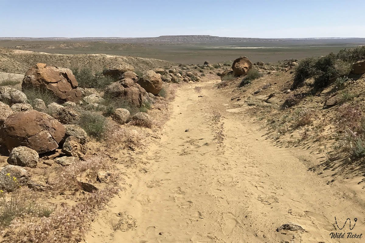
The primary route from Aktau runs north along a high-quality paved highway toward the settlement of Tauchik (about 105 km). Before reaching the settlement or turning east right past it, the route continues right along a steppe dirt road for 7–8 km straight to the main fields of clustered stone spheres.
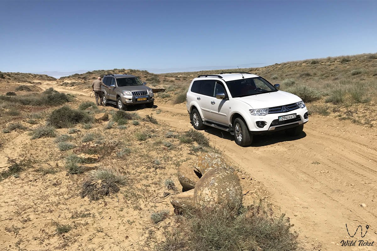
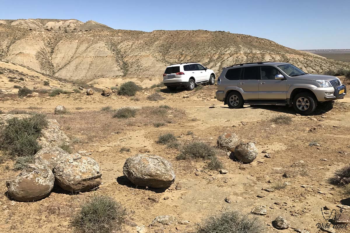
A dependable four-wheel-drive off-road vehicle (4x4) with high ground clearance and sturdy tires (AT/MT) resistant to sharp rock shards is required for comfortable travel across the steppe graded tracks. In dry weather, the first clusters of stones can be carefully reached in a crossover; however, during periods of spring or autumn rains, the clay steppe softens, creating a risk of wheel spin and bogging down.
Infrastructure across the territory of the tract is absent. The nearest shops, cafes, tire repair workshops, and gas stations are located in the settlements of Tauchik and Shetpe. There are no sources of potable water in the valley, so visitors must carry a personal water supply (no less than 4–5 liters per person), head coverings, and sun protection.
For camping in tents, experienced guides recommend setting up camp in hollows between steppe knolls to take shelter from strong gusts of wind.
The best time to visit is from late April to early June and during the velvet season in September – October.
--------------------------------------------
History
The history of the Torysh Valley extends into the depths of geological epochs – from 40–60 to 120–180 million years ago, when the expanses of Mangyshlak were submerged beneath the waters of the prehistoric Tethys Ocean. The aquatic environment teemed with plankton, ancient mollusks, and pelagic cartilaginous fish. Mineral sediments within clay and sandy strata began to contract and accumulate in concentric layers around organic nuclei – teeth of prehistoric sharks, mollusk shells, bone fragments, and plant material – giving rise to ultra-dense mineral bodies of radial-concentric structure.
Millions of years later, as a result of the tectonic uplift of the Karatau folded structures and the retreat of the ocean, the ancient seabed emerged as dry land. Soft sandy and clay layers were gradually eroded by water and blown away by winds, laying bare the colossal spherical concretions hidden in the subsurface.
Alongside the classical sedimentary theory, researchers have advanced alternative hypotheses: Aktau geophysicist G. Tarasenko substantiated the formation of the spheres through subterranean electrical discharges and ball lightning within tectonic fault zones; hypotheses regarding volcanic megaspherulites in ash and cosmic meteorites have also been put forward.
Humans have inhabited the tract since ancient times: caravan trails crossed the valley from the coast of Sarytash Bay to the Shetpe Gates and the trade city of Kyzyl-Kala on the Great Silk Road. Deep within the valley, an ancient subterranean cave mosque has been preserved, featuring a rectangular prayer hall, an altar niche for offerings, and rock petroglyphs left by early Sufi pilgrims and Islamic missionaries. In 2005, a commemorative plaque was officially installed beside this shrine.
Information
Geomorphologically, the Torysh Valley represents a denudation piedmont plain at the junction of the Ustyurt Plateau and the Western Karatau ridge. The tract is composed of Paleogene and Neogene sandy-clay sedimentary rocks hosting layers of spherical mineral nodular formations.
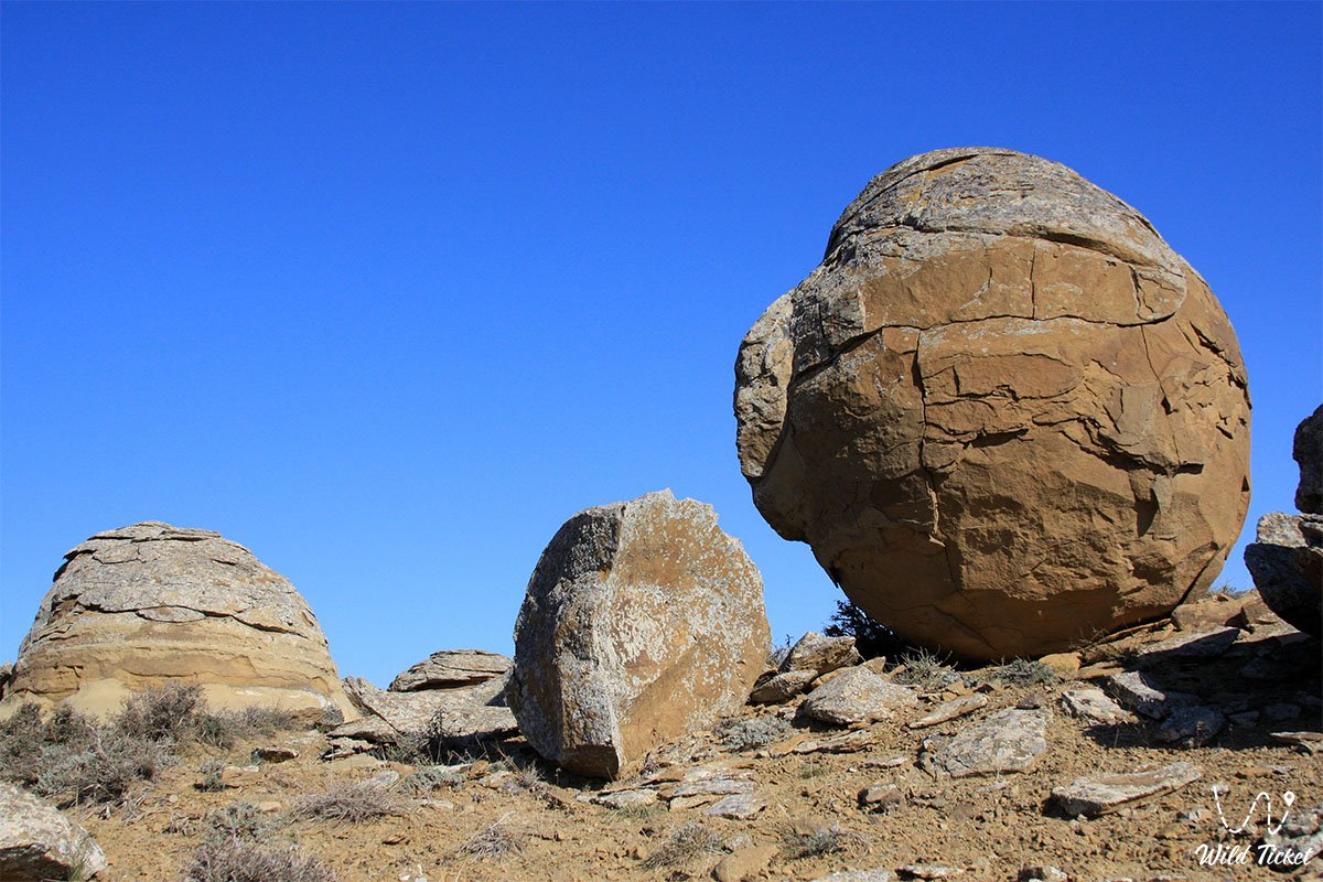
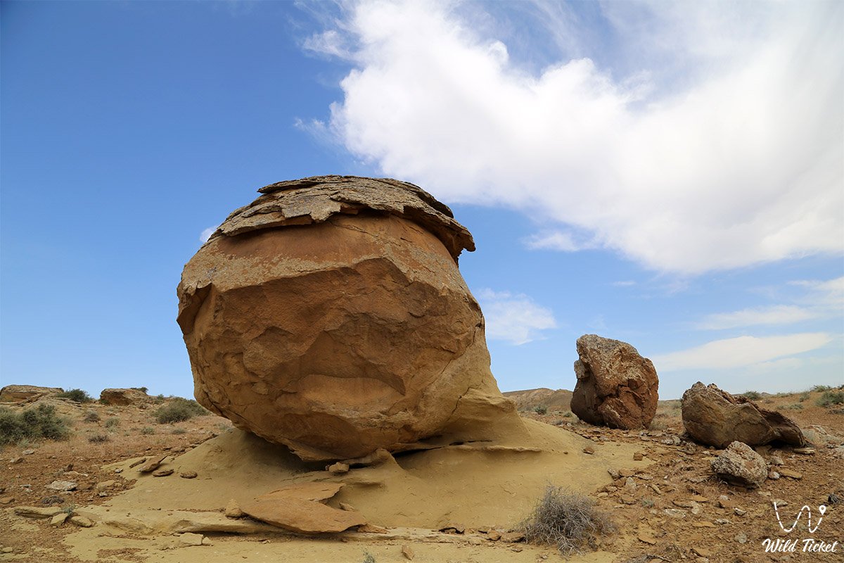
The term "concretion" derives from the Latin word "concretio" (growing together, compacting). The stone formations of Torysh display spherical, oval, and flattened shapes with dense-crystalline, cryptocrystalline, or porous structures. The diameter of the concretions ranges from miniature balls measuring 10–15 centimeters across to enormous monoliths up to 3–4 meters in diameter weighing dozens of tons.
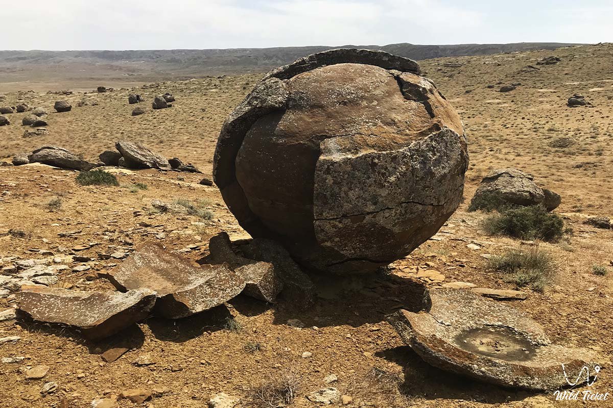
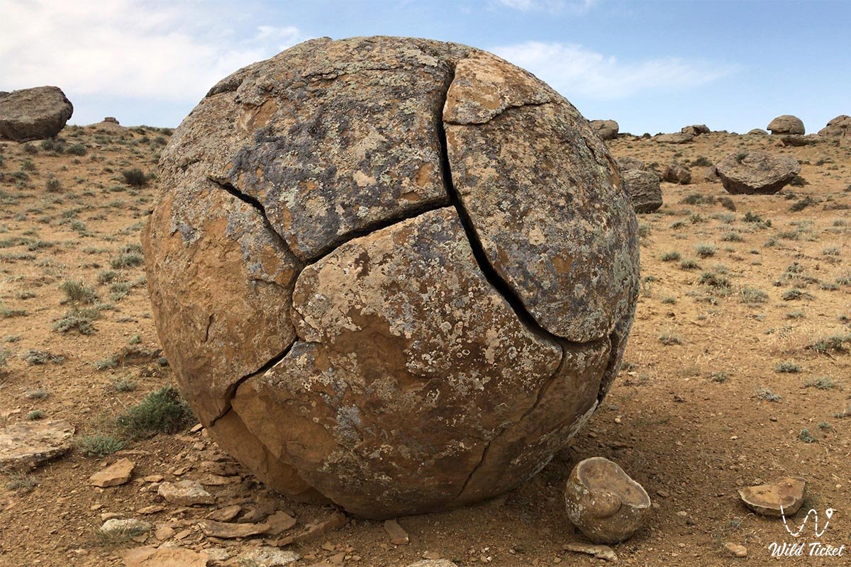
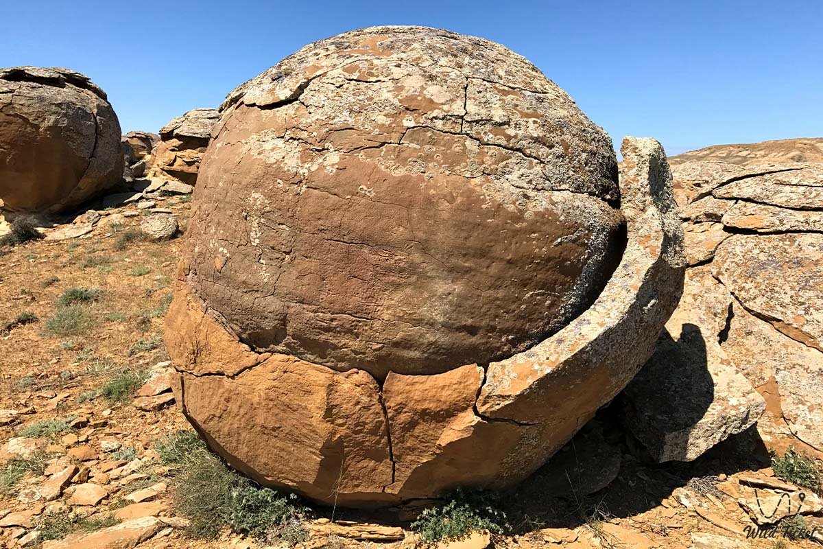
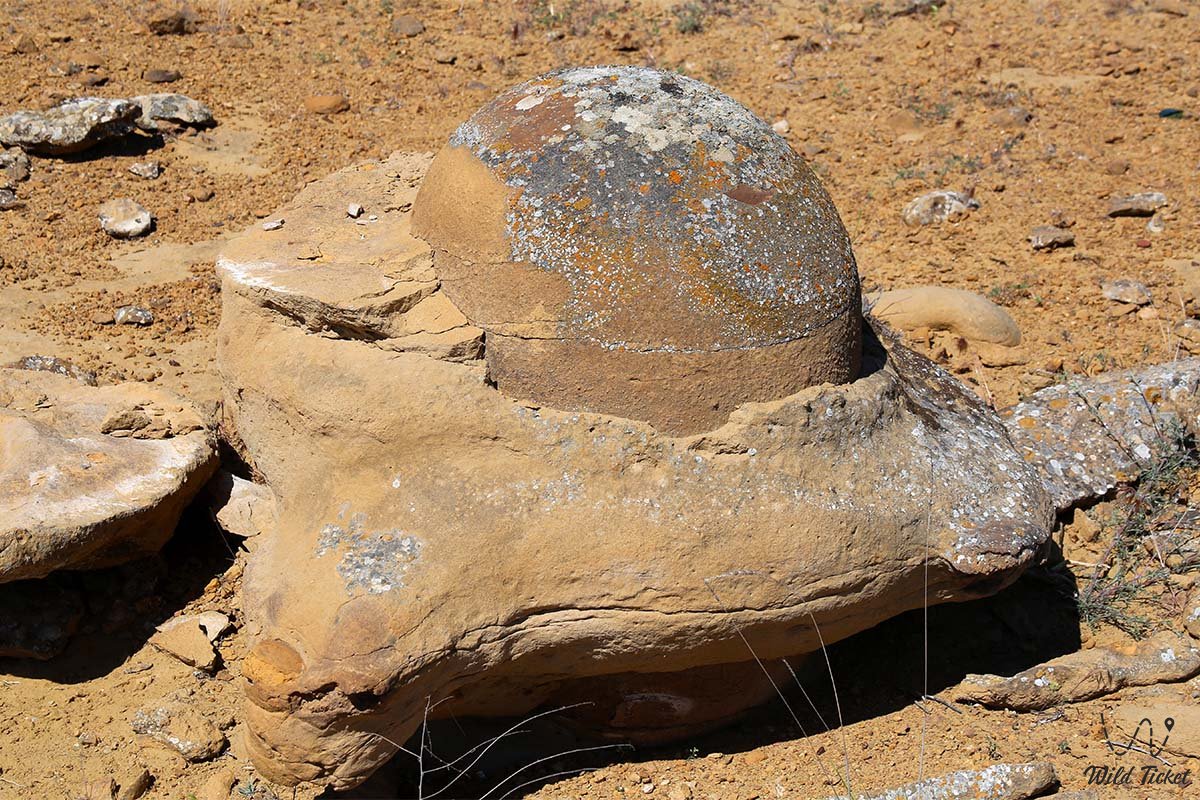
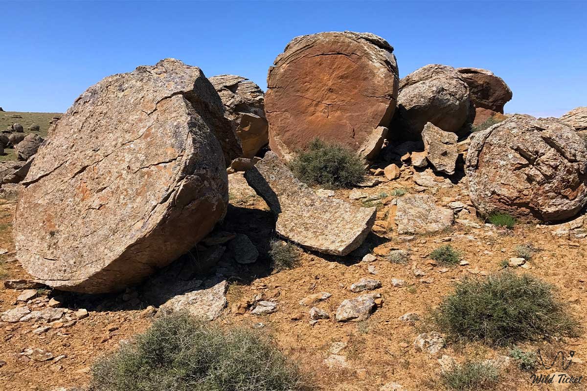
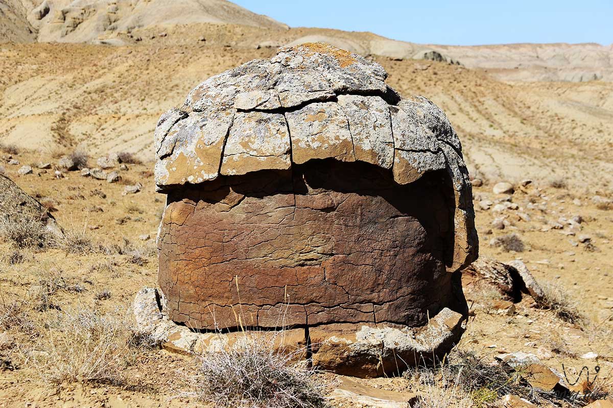
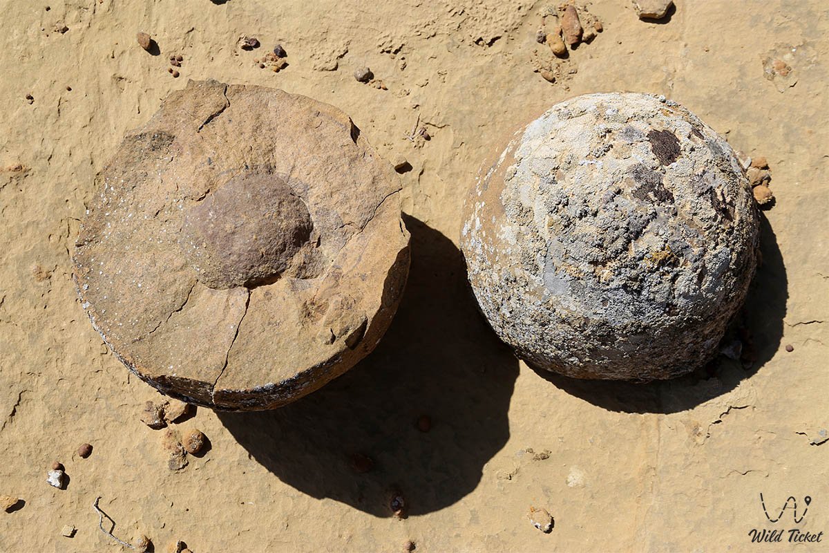
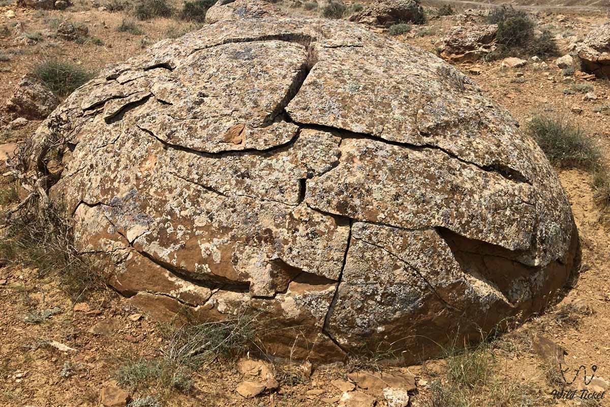
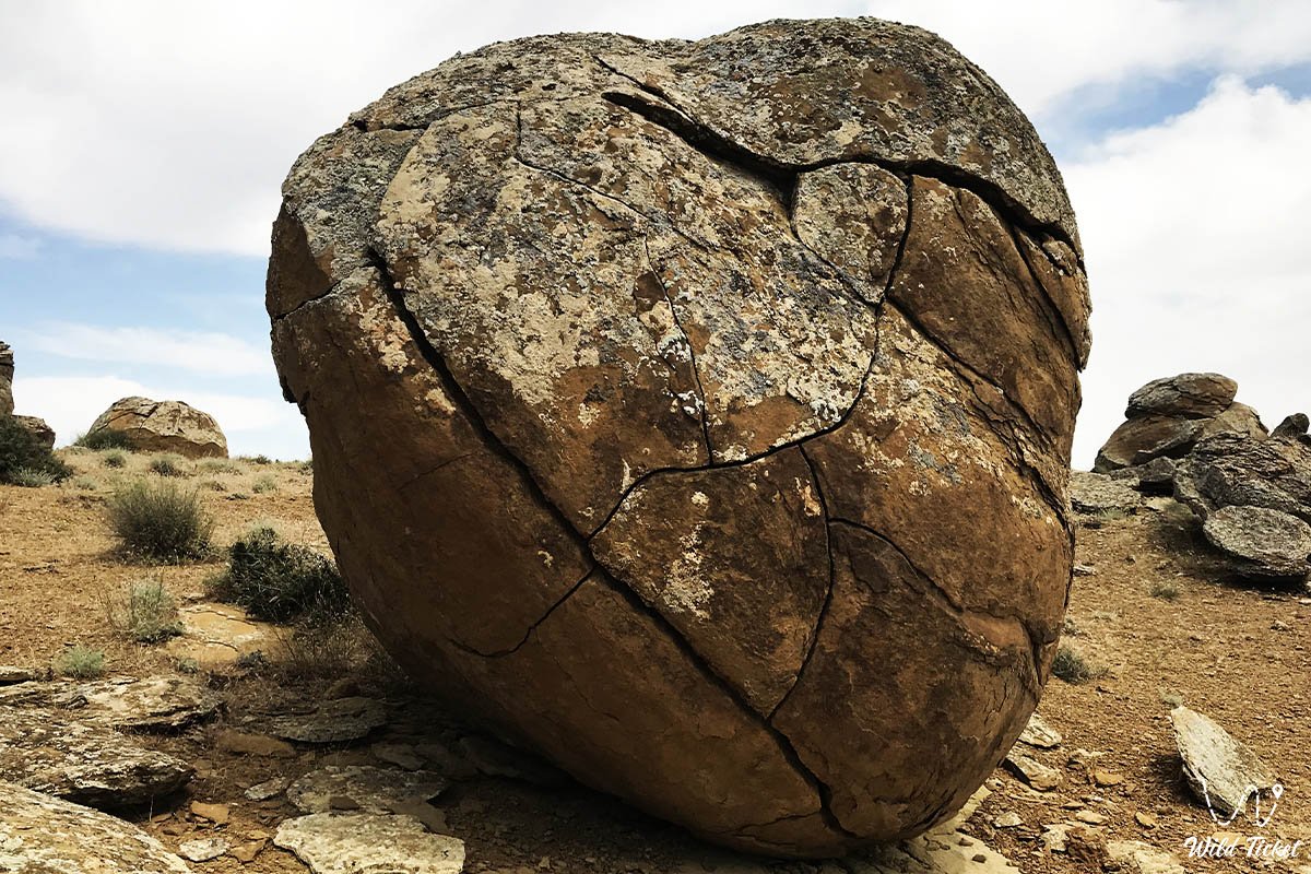
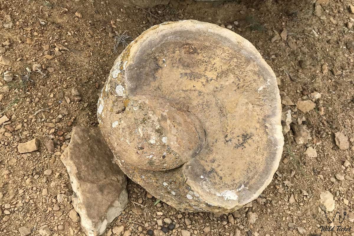
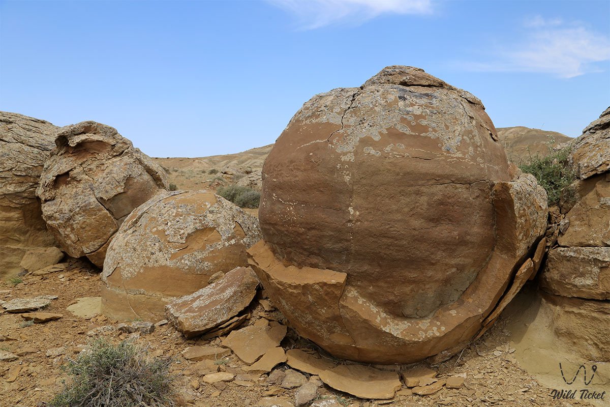
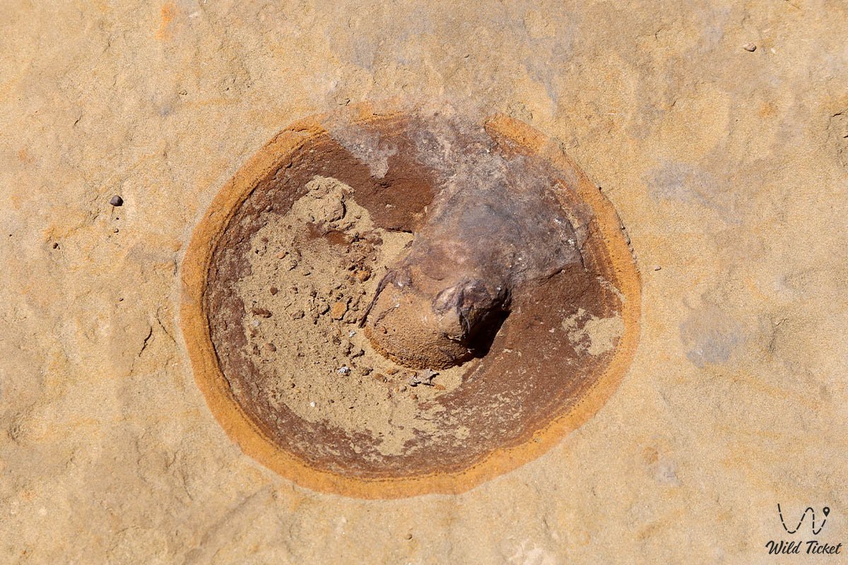
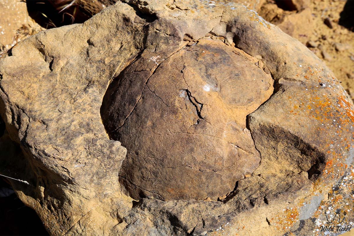
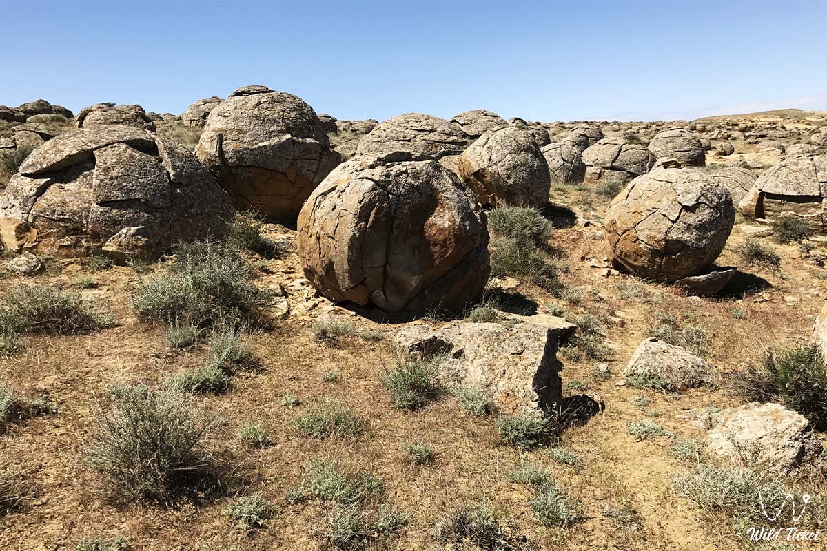
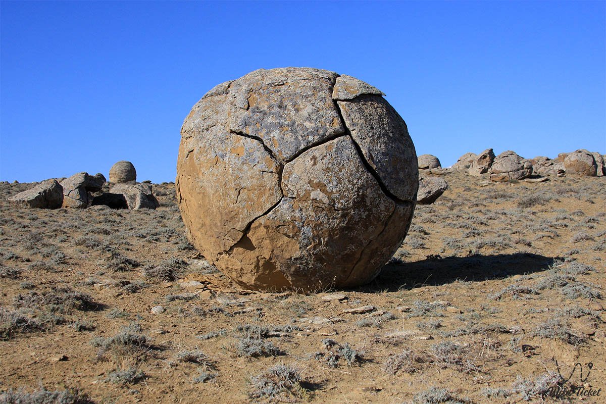
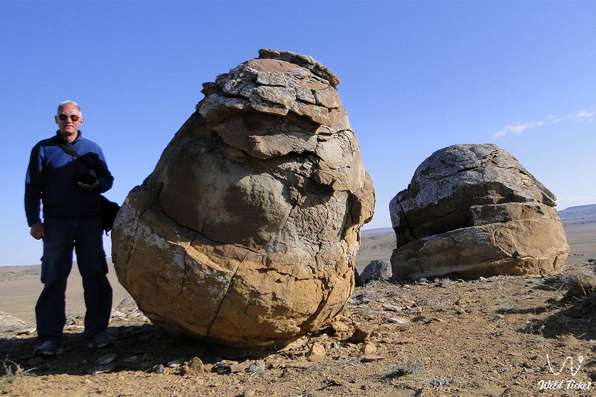
Under centuries-long exposure to solar radiation and sharp temperature fluctuations, many spheres have cracked, split into neat hemispheres, or exfoliated into concentric rings, exposing interior cavities and central cores lined with mineral crystals. Similar formations occur extremely rarely worldwide (Moeraki Boulders in New Zealand, Champ Island in the Russian Arctic, Bowling Ball Beach in California, Ischigualasto Provincial Park in Argentina); however, the Torysh tract exceeds them in total quantity of objects, numbering thousands of units across an area spanning dozens of kilometers.
The climate of the area is sharply continental and arid. In summer, air temperatures exceed +38...+40 °C, baking the sandstones, while cold steppe winds prevail in winter. The natural complex is protected as a unique geological monument: breaking the concretions and defacing them with inscriptions is strictly prohibited.
Detailed description of the venue
The landscape and sacred complex of the Torysh Valley encompasses several expressive natural zones and historical monuments:
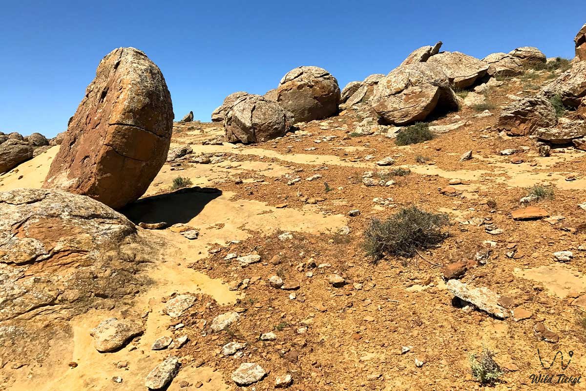
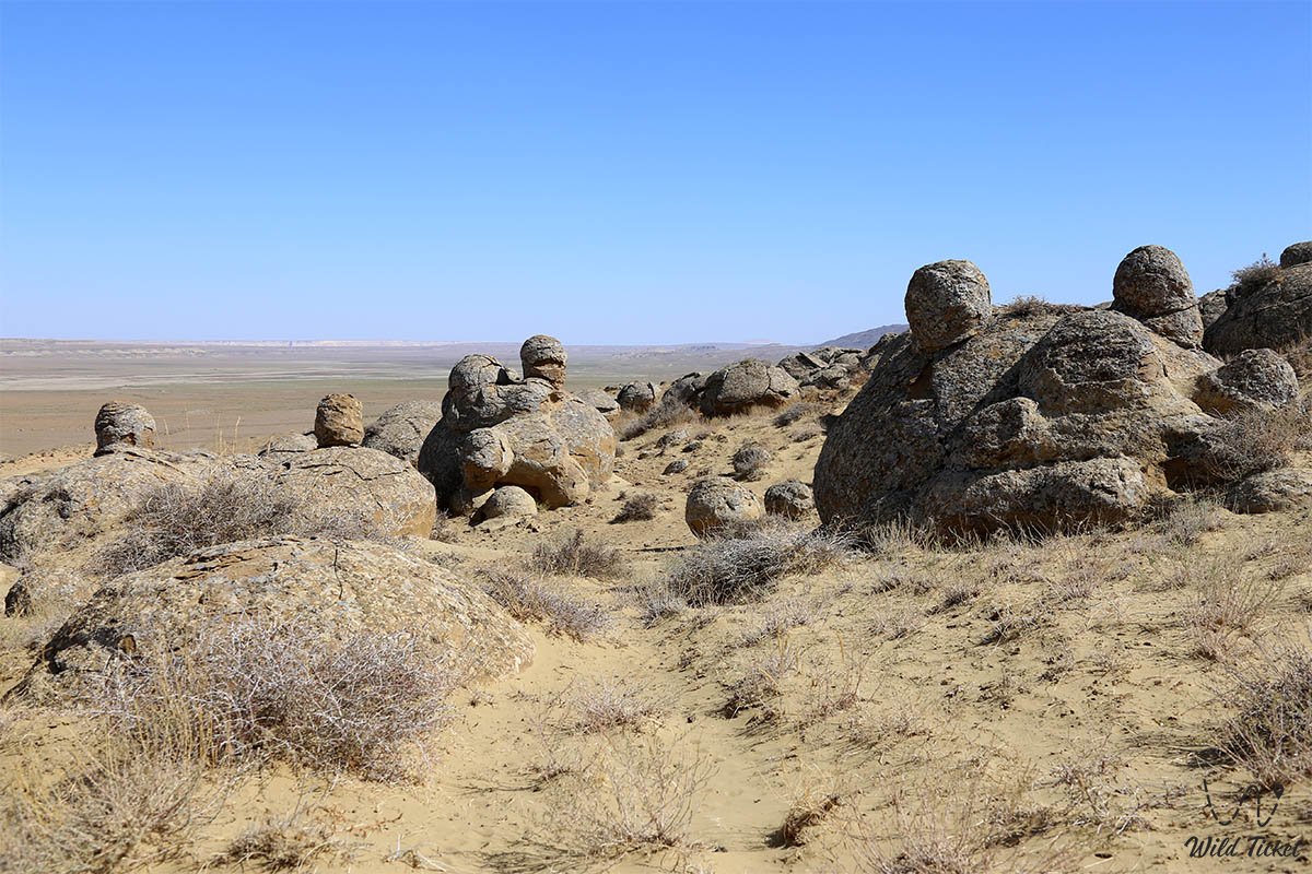
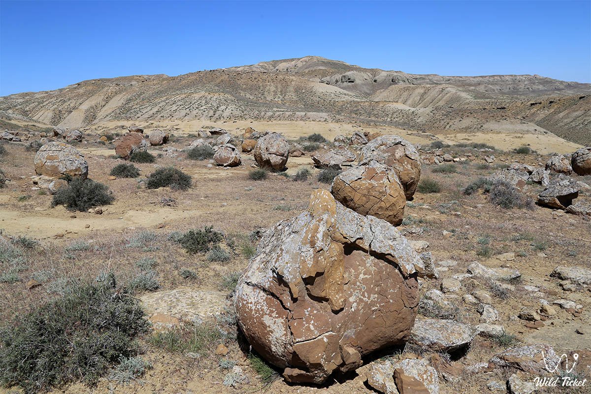
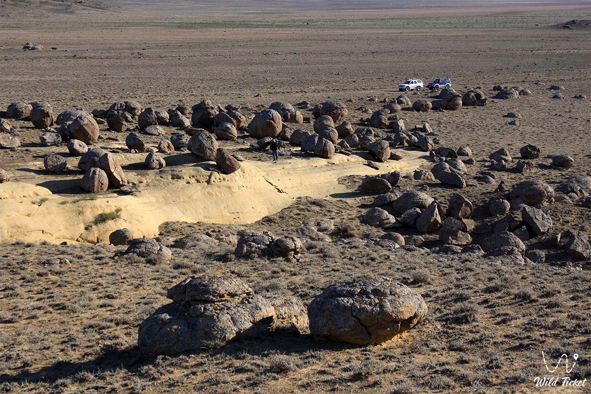
• Main field of stone spheres – an expansive steppe plateau strewn with thousands of rounded boulders measuring from one to three-four meters in diameter.
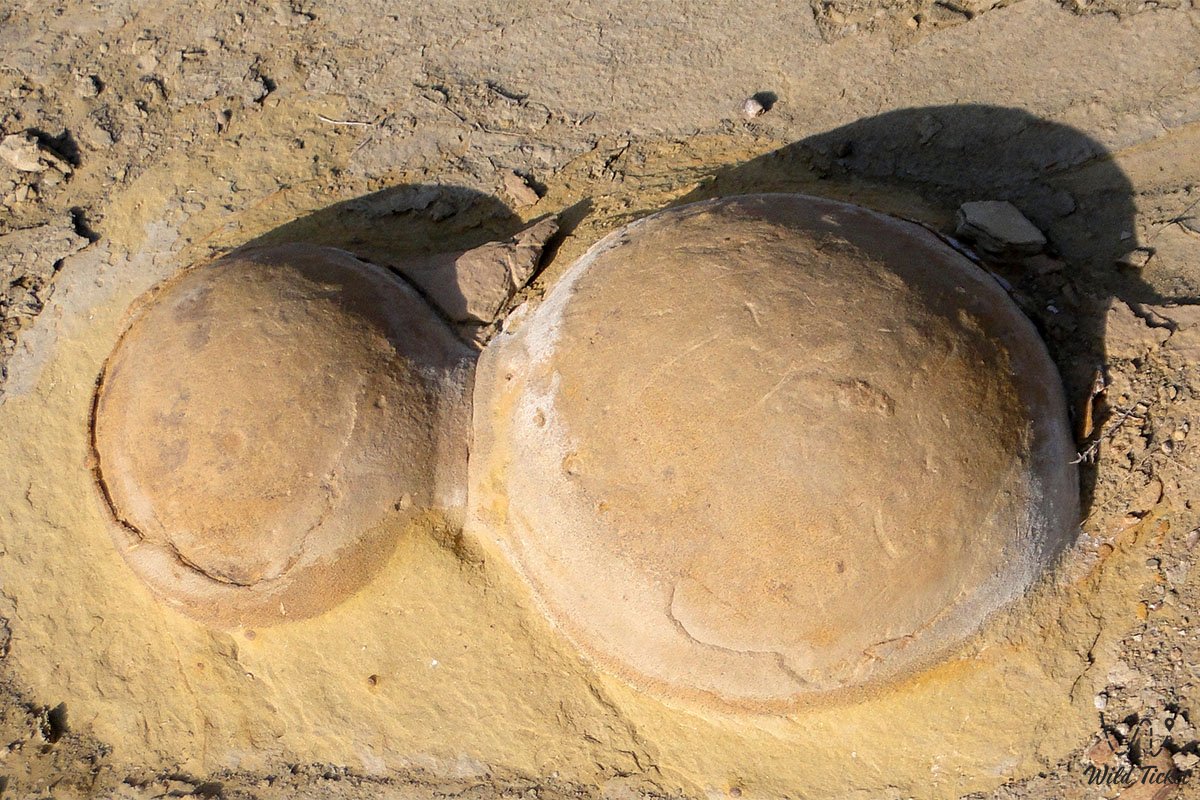
• Twin and discoid concretions – whimsical fused stones resembling dumbbells, figure-eights, and flattened loaves formed in heterogeneous silty environments.
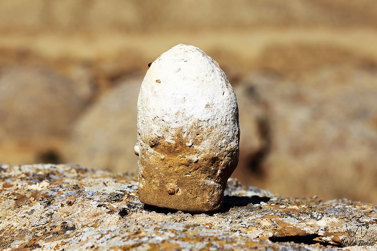
• Split concretions ("dinosaur eggs") – stone spheres cleaved in half by natural weathering, revealing the radial-concentric accretion layers of the rock.
• Cave mosque of the Torysh tract – an ancient subterranean hermitage with a square hall, an altar niche, and a 2005 memorial plaque.
• Complex of ancient rock engravings – petroglyphs depicting horses, sacred symbols, and clan tamgas carved by pilgrims around the cave mosque.
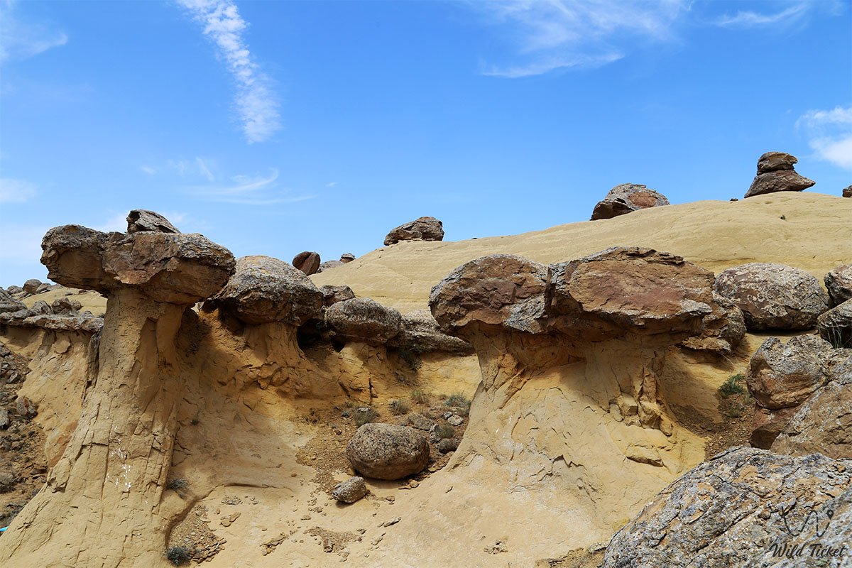
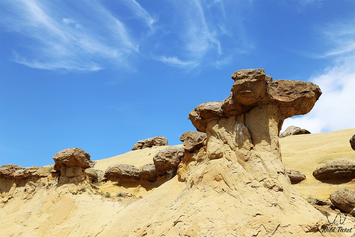
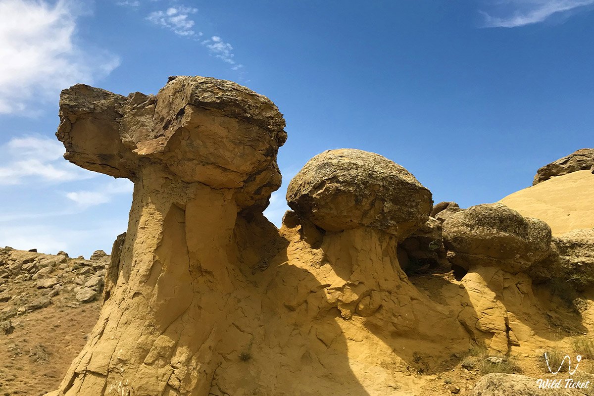
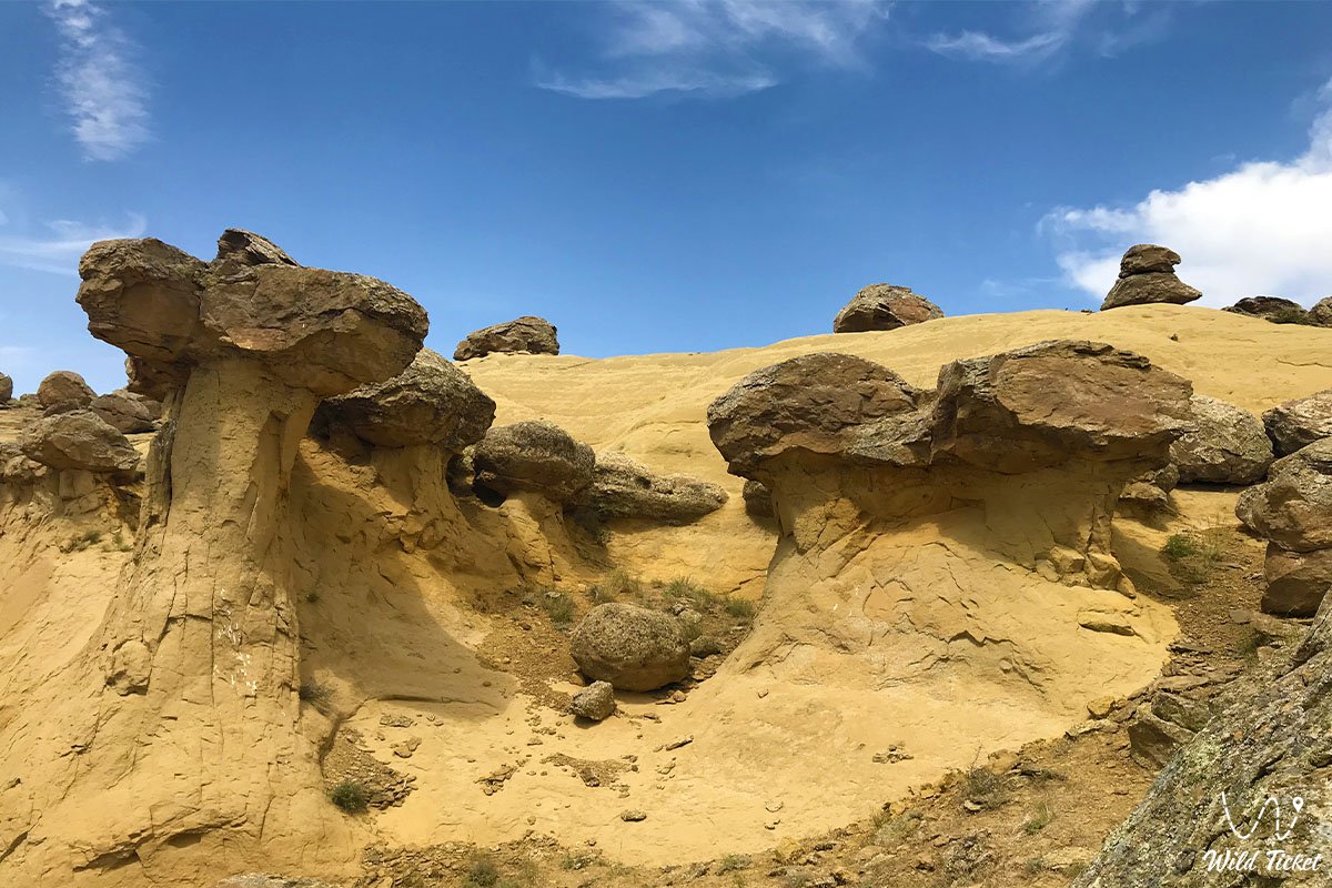
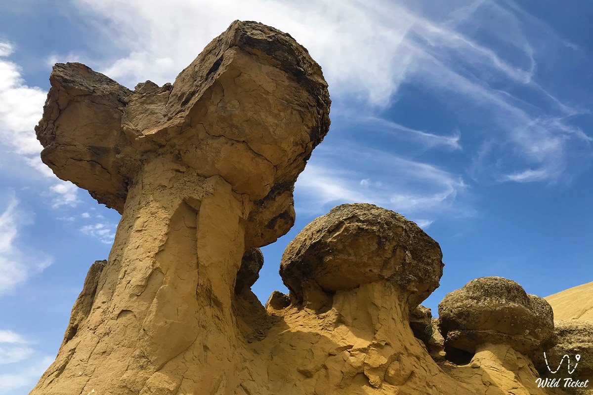
• Weathering ridges of the Western Karatau foothills – outcrops of sandstones and clays from which new spherical cores continue to weather out.
• Panoramic views of Mount Sherkala – a sweeping vista opening from the eastern portion of the valley toward the white chalk precipices of the 332-meter "Lion's Rock".
Flora and fauna
The vegetation cover of the Torysh tract is represented by drought-tolerant semi-desert species. Gray-soil wormwood, Lerche's wormwood, biyurgun, boyalych, and prickly camelthorn (dzhantak) bushes grow on brown stony and gravelly soils between the boulders. Saltworts and glasswort occur in local depressions. In spring, steppe sectors turn green with grasses and ephemeral plants, among which wild tulips and wild onions bloom.
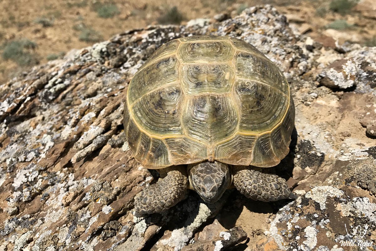
The animal kingdom is adapted to open stony landscapes. Lizards (toad-headed agamas, steppe agamas), Central Asian tortoises, sand boas, and long-eared hedgehogs find refuge beneath the stone spheres. Rodents are widely represented by jerboas, gerbils, and ground squirrels.
Birds of prey frequently soar in the sky above the valley: steppe eagle, long-legged buzzard, saker falcon, and kestrel. Northern wheatears, desert larks, and flocks of chukar partridges rest on the stone blocks. Tolai hares, corsac foxes, and wolves inhabit the surrounding ravines, while saiga antelopes can be encountered across the steppe in spring.
Legend
An ancient Kazakh legend concerning an invasion of foes is linked to the emergence of the Torysh stone spheres. In ancient times, countless hordes of foreign invaders marched upon the sacred land of Mangystau, covering the steppes like swarms of voracious locusts. The forces were unequal, and virtually no hope remained for the salvation of the nomadic encampments.
The dwellers of the auls, together with their sages and elders, raised their hands to heaven in a unified, heartfelt prayer, pleading with the Almighty to defend their ancestral hearth. The heavens answered their sincere plea: on a clear day, thunderclouds blanketed the horizon, fiery lightning struck, deafening thunder roared, and a downpour descended like a wall of water. In a single instant, the entire enemy host, along with horsemen and siege engines, was transformed into cold round stones. Thus arose the fields of stone titans across the endless expanses of Mangystau, serving as a reminder to descendants of the sanctity of their native land.
Conclusion
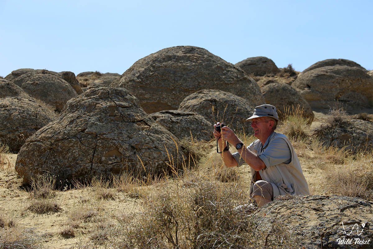
The Torysh Valley is one of the most impressive and enigmatic wonders of the Mangystau region, uniting millions of years of the Tethys Ocean's chronicle, extraordinary natural geometry, and profound steppe lore. A journey to the tract offers a rare opportunity to wander among thousands of colossal spheres, take memorable photographs in the guise of Sisyphus pushing a boulder, and take in the cosmic silence of Kazakhstan's primeval land.
Interesting sights nearby:
• Mangyshlak Peninsula;
• Bozzhira Tract;
• Ustyurt Reserve;
• Tyub-Karagan Peninsula;
• Mount Sherkala;
• Necropolis on Mount Sherkala;
• Karagiye Depression;
• Kyzylkup Tract;
• Lake Karakol;
• Khanga Baba Tract;
• Shakpak-Ata Canyon;
• Temir Abdal Underground Mosque near Mount Sherkala;
• Settlement of Kettikkala;
• Senek Village;
• Ethno-Village Kogez.
Photogallery:












Comments 2