Tragedy and revival of the great water body of Central Asia –
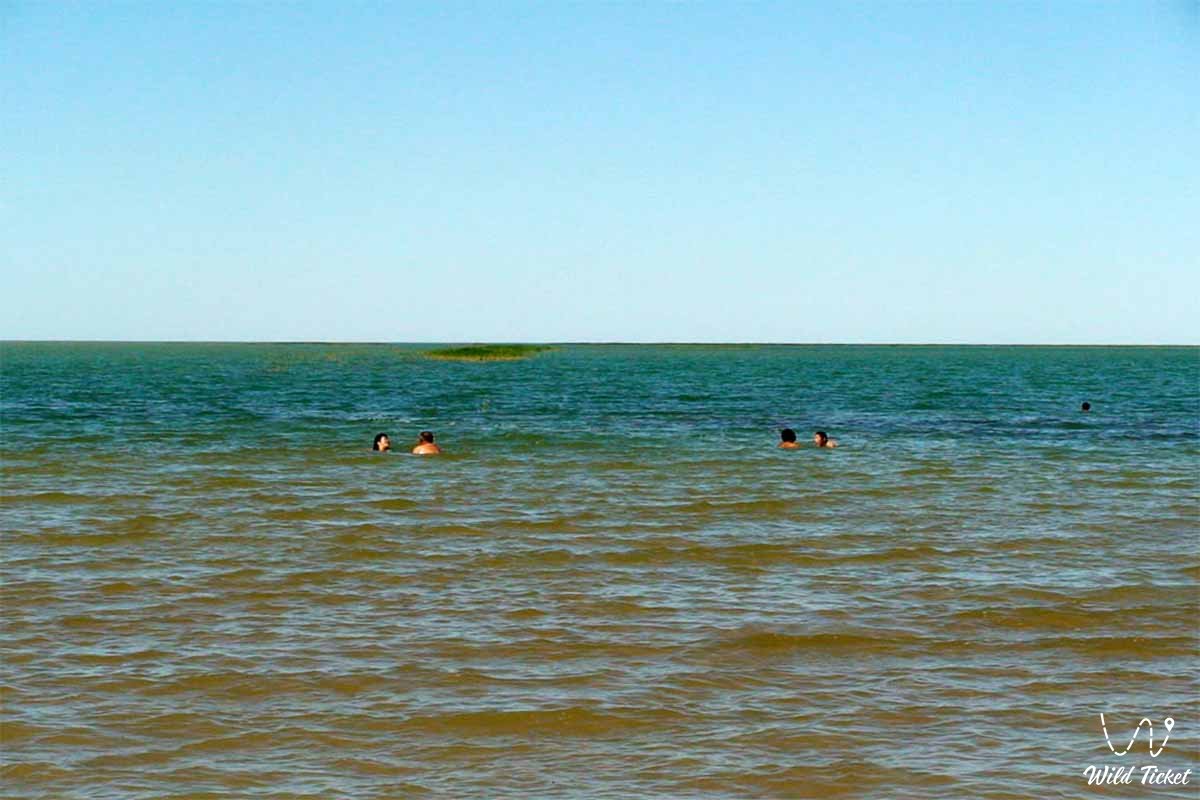
The Aral Sea represents one of the most large-scale, dramatic, and unique geographical entities on the planet, situated in the very heart of Central Asia along the border of Kazakhstan and Uzbekistan. Historically the fourth-largest endorheic salt lake in the world, this giant inland body of water covered an area of about 68–69 thousand square kilometers with a maximum depth of up to 69 meters, a length of 428 kilometers, and a width of 284 kilometers.
Possessing a unique ecosystem that included nearly 200 species of invertebrates and 32 species of valuable fish, the Aral shaped the mild microclimate of an expansive region and served as the foundation of prosperity for hundreds of thousands of local inhabitants.
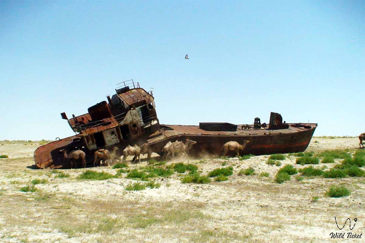
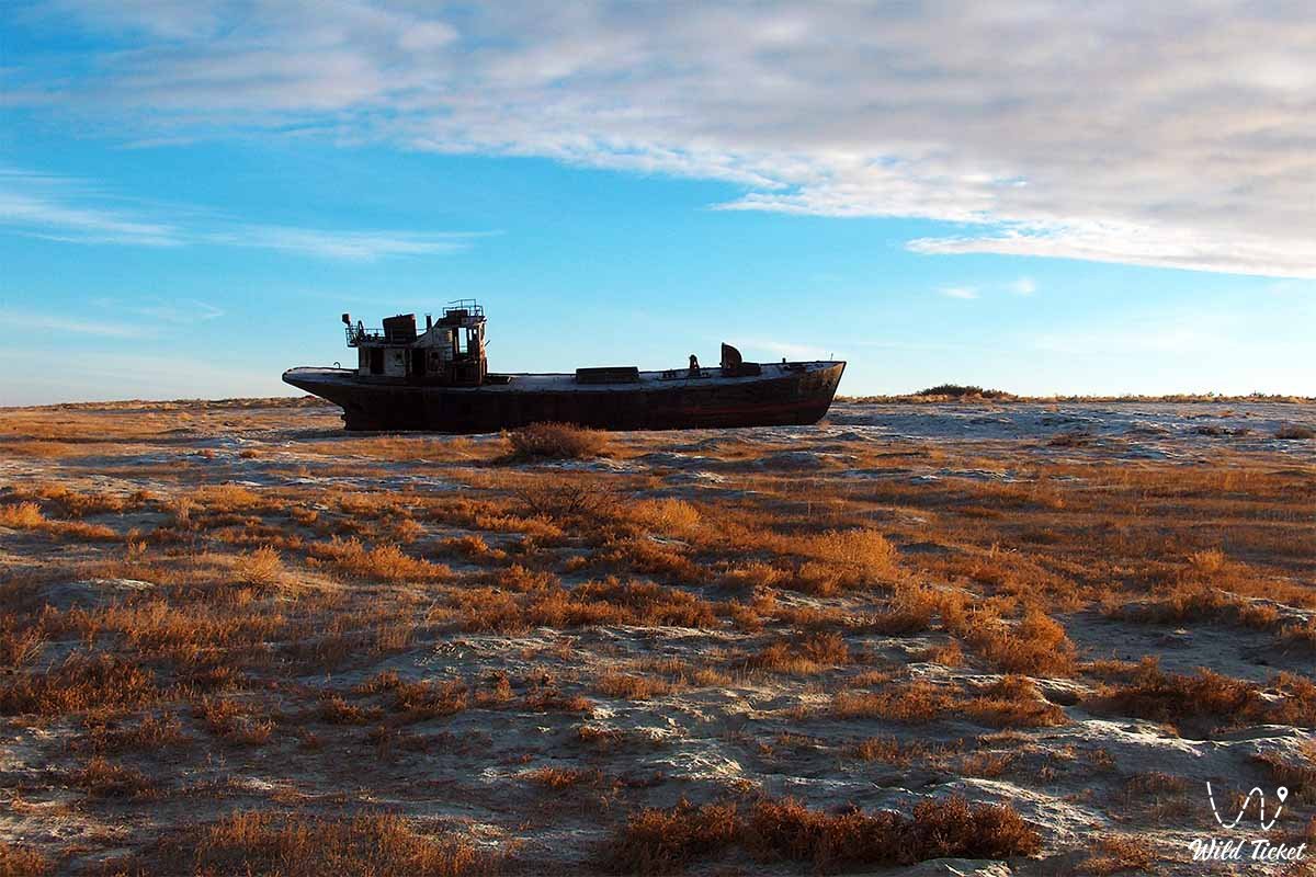
However, large-scale, uncontrolled anthropogenic diversion of water from its feeder rivers, the Amu Darya and the Syr Darya, for the irrigation of cotton and rice crops resulted in one of the gravest ecological catastrophes of the 20th century, causing the sea to dry up.
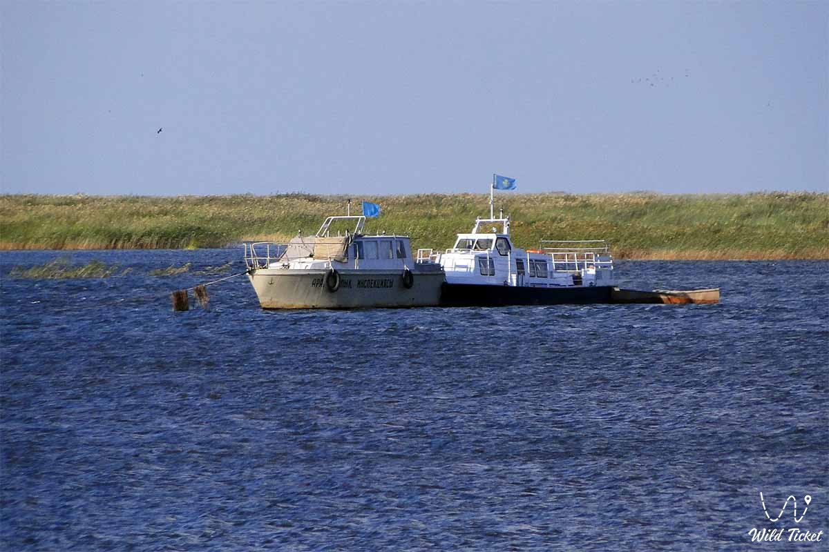
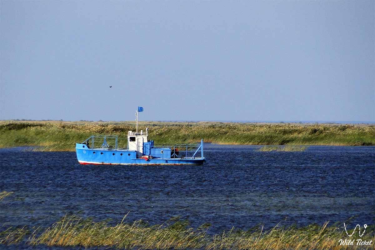
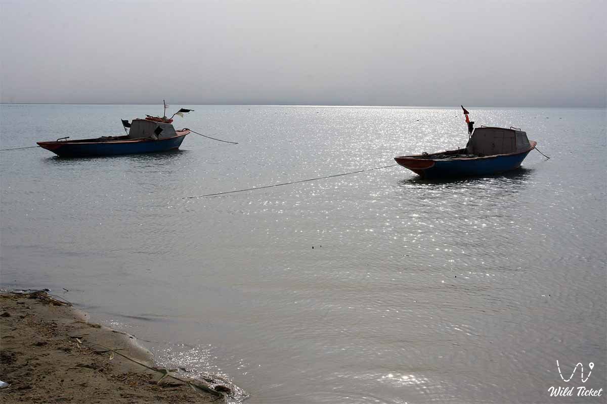
Today, following the extensive anthropogenic disintegration of the once-unified water area into isolated parts, its northern Kazakh section – the Small (Northern) Aral Sea – has gained a second life thanks to the construction of the Kokaral Dam, becoming an emblem of hope and the successful restoration of a unique natural site.
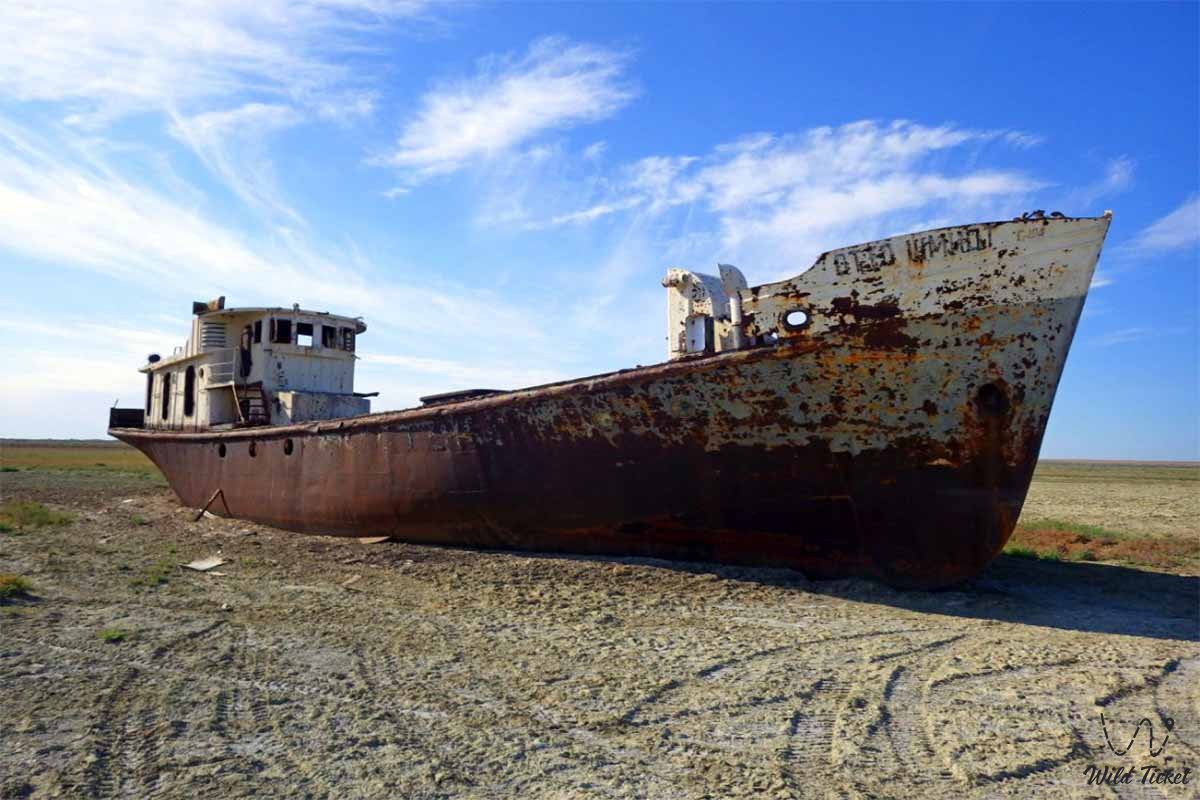
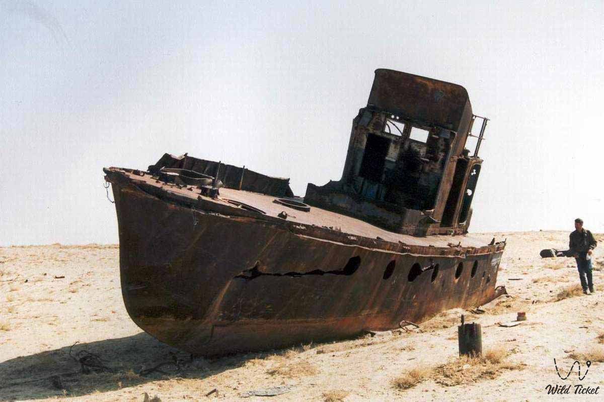
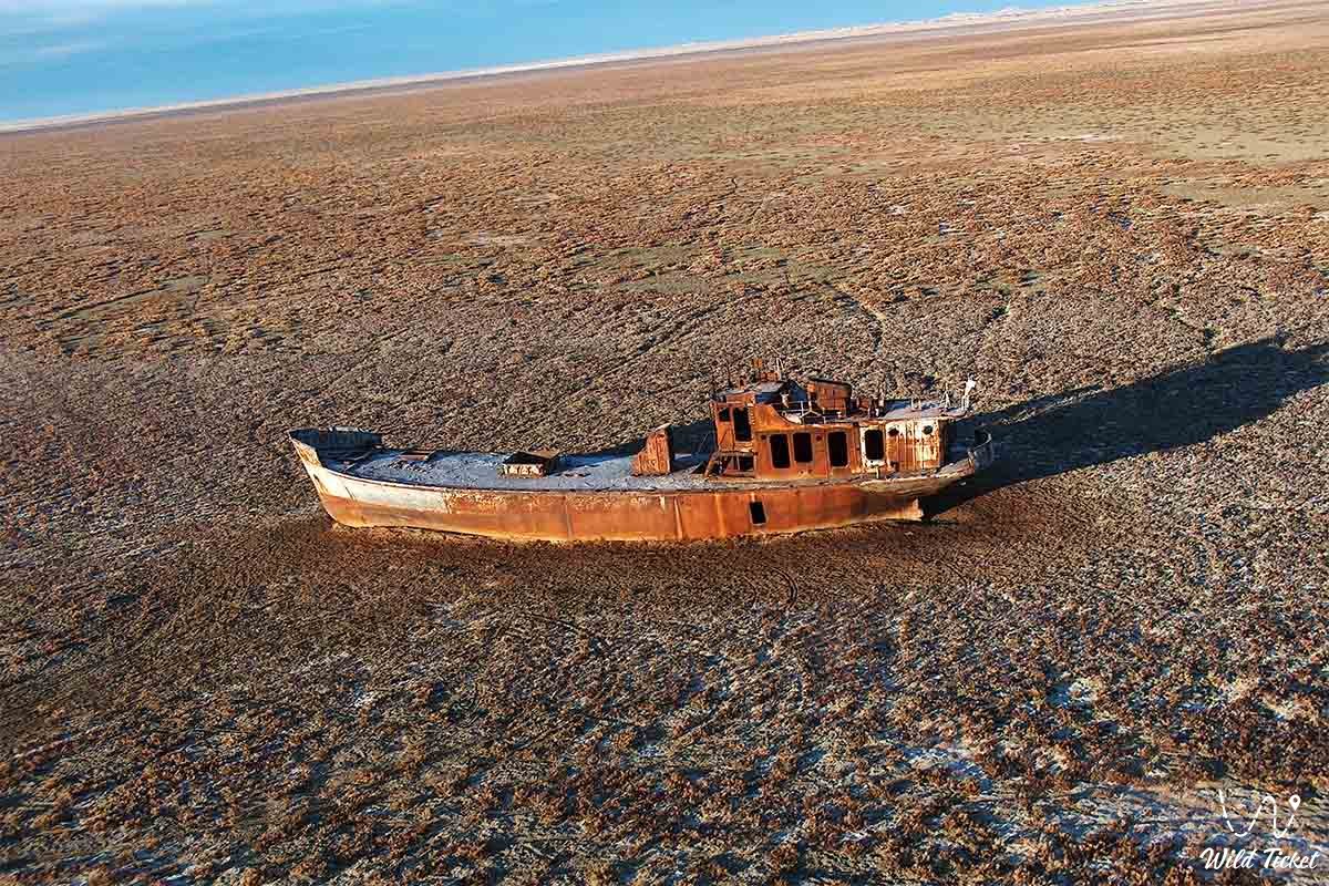
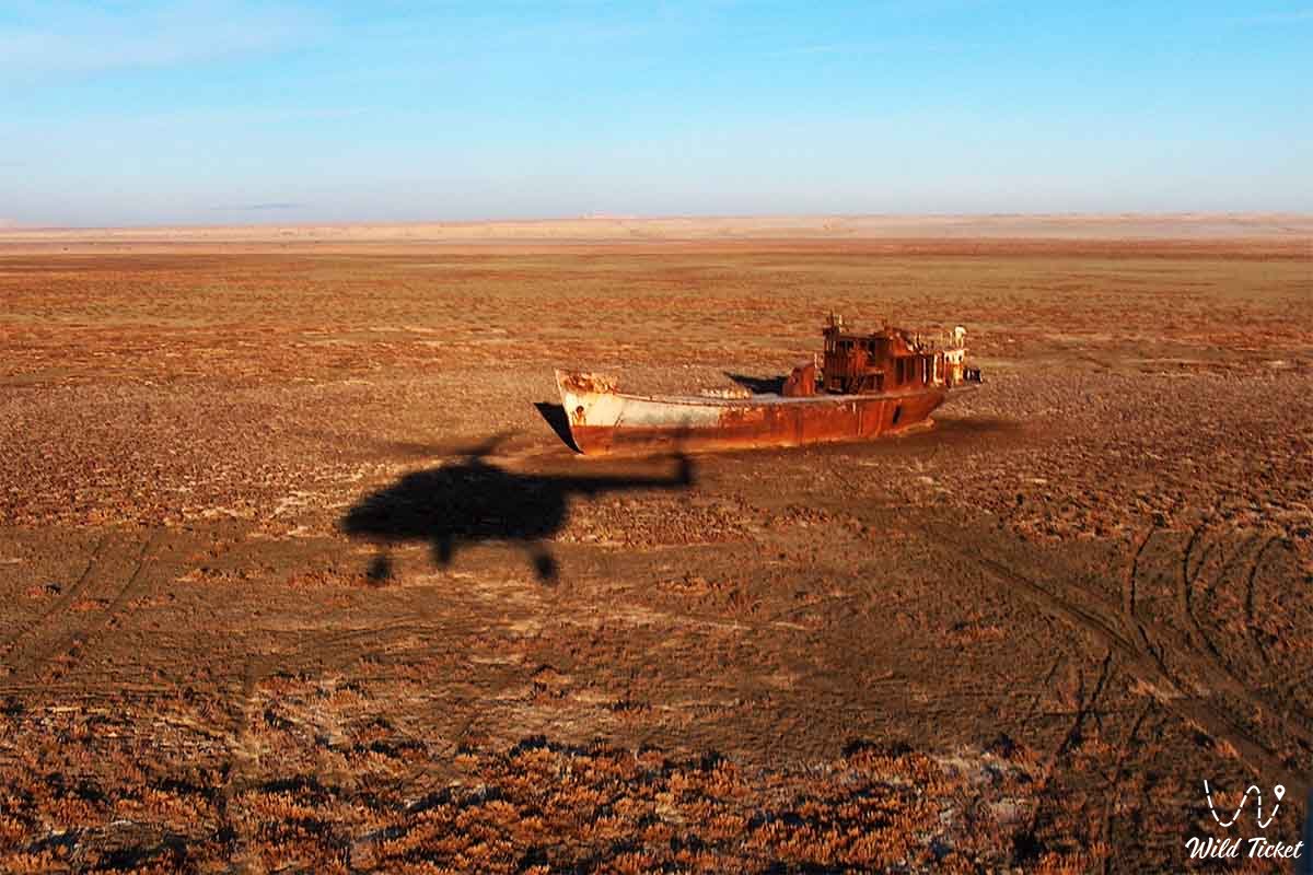
The Southern (Large) Aral Sea also partially survives, awaiting its replenishment and future revival. Across the exposed bed of the despoiled sea, the boundless saline-sandy Aralkum Desert has formed.
--------------------------------------------
How to get there and visit –
The Aral Sea is located near the city of Aralsk in the Aral district, Kyzylorda region, Republic of Kazakhstan.
GPS geographical coordinates: 45°24'13"N 59°35'07"E
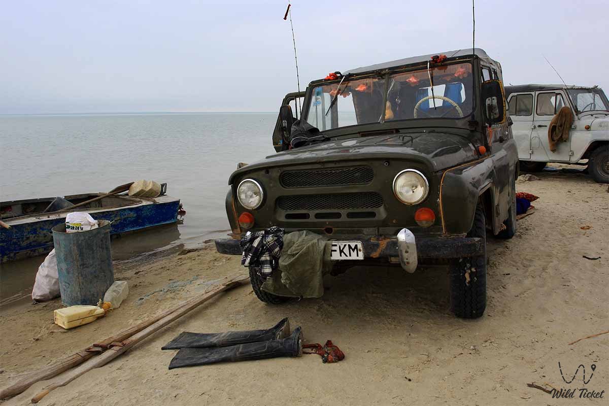
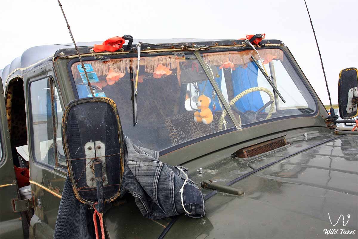
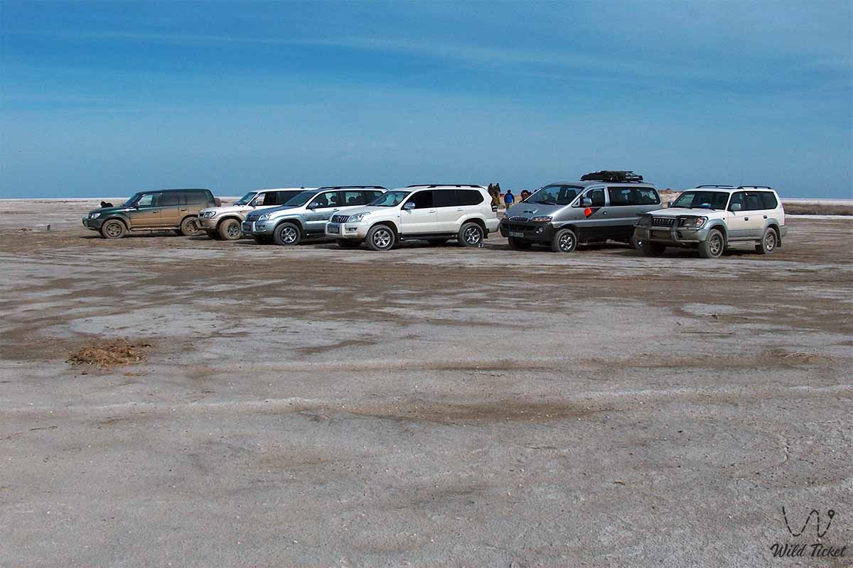
Transport logistics across this remote desert region completely preclude public transportation – paved roads toward the retreated water do not exist. Visiting the former shoreline, the ship graveyards, and the restored Small Aral is possible exclusively within specialized expedition off-road tours in 4x4 all-wheel-drive vehicles accompanied by experienced accredited guides.
The route of off-road expeditions typically proceeds from Aralsk through coastal settlements such as Akbasty, Tastubek, Akespe, or Karateren, and across the salt-marsh flats of the former seabed. Driving across the floor of the Aral involves objective risks: concealed beneath a thin salt crust and layers of fine sand are damp silty traps and unstable takyrs.
It is strictly forbidden to embark on such journeys in single vehicles – expeditions must consist of at least two prepared off-road vehicles equipped with satellite navigators, shovels, kinetic recovery straps, auxiliary fuel canisters, and a generous supply of potable water.
It is strongly advised to schedule trips for the spring window (April – May) or early autumn (September – October). Summer in the desert brings extreme heat with temperatures exceeding +40°C, while winter brings biting steppe gales and blizzards.
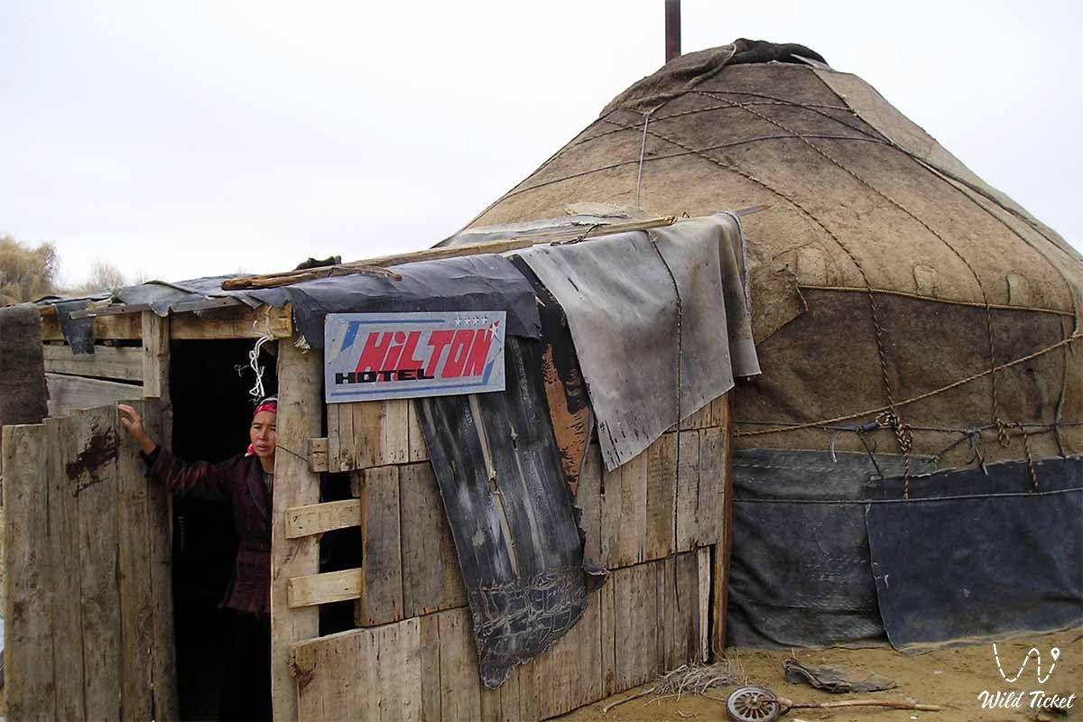
Overnight stays are organized in open-air tent camps or guesthouses run by local residents in coastal villages, where travelers can replenish fresh water reserves and experience the traditional lifestyle of the Aral region.
--------------------------------------------
History
The history of the Aral basin spans millennia: according to absolute dating records, the water body formed approximately 17.6 thousand years ago from the melting glaciers of the Pamirs and the Tien Shan. Over centuries, the water level and extent of the lake fluctuated repeatedly due to natural climate oscillations and shifting river channels; during antique and medieval eras (including the flourishing of Khwarazm and Golden Horde settlements), oasis civilization, trade, and caravan routes developed actively here.
Systematic scientific study and cartographic surveying of the Aral Sea commenced in 1848–1849 under the leadership of the prominent explorer Alexey Butakov (a sector of the Small Aral, Butakov Bay, is named in his honor). The Ukrainian poet and artist Taras Shevchenko took part in this historic expedition, executing a suite of unique sketches that documented the primeval contours of the shores, islands, and regional daily life.
The schooners "Konstantin" and "Obruchev," transported in disassembled state and launched at Fort Raim, initiated official navigation and regular fishing operations on the Aral, which achieved commercial scales in the 20th century – in peak years, annual fish catches were measured in tens of thousands of tons.
A catastrophic turning point arrived in the 1960s. The approved state strategy to transform Central Asia into a leading cotton producer required vast quantities of water for agricultural irrigation. Diverting the discharge of the Amu Darya and Syr Darya caused the sea level to drop at rates between 20 and 90 centimeters per year.
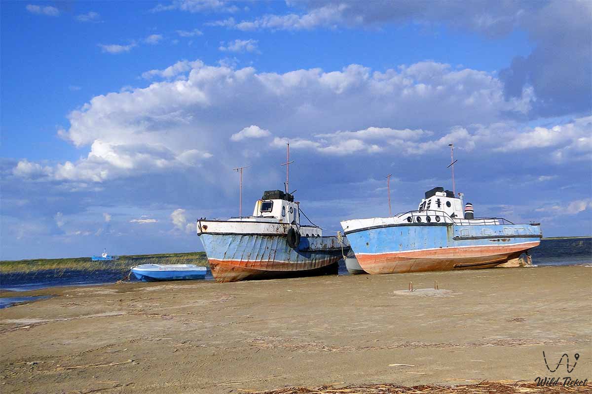
By 1989, the once-continuous basin broke into isolated parts – the Northern (Small) and Southern (Large) Aral Sea. Across the desiccated bed emerged the Aralkum salt-sand desert covering more than 60 thousand square kilometers, while the once-thriving port cities of Aralsk and Muynak found themselves stranded dozens of kilometers from the water.
Information
The modern Aral Sea region represents an austere, contrasting, and alluring destination for ecological tourism, where raw natural forces stand alongside the consequences of sweeping anthropogenic intervention. On the exposed bed, researchers discovered not only traces of ecological collapse but also unique historical artifacts: the medieval settlement of Aral-Asar and the Kerderi mausoleums, concealed for centuries beneath twenty meters of water.
Concurrently, the region demonstrates a triumph of engineering and applied conservation. The pivotal modern milestone was the successful implementation of Phase 1 of the Syr Darya Control and Northern Aral Sea project (SYNAS).
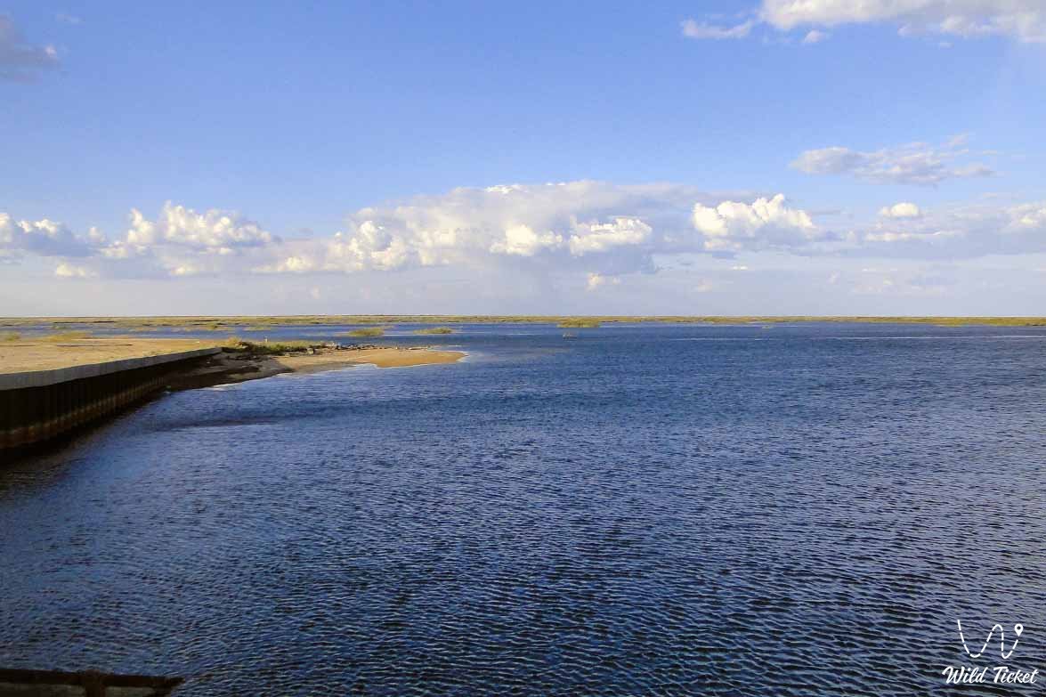
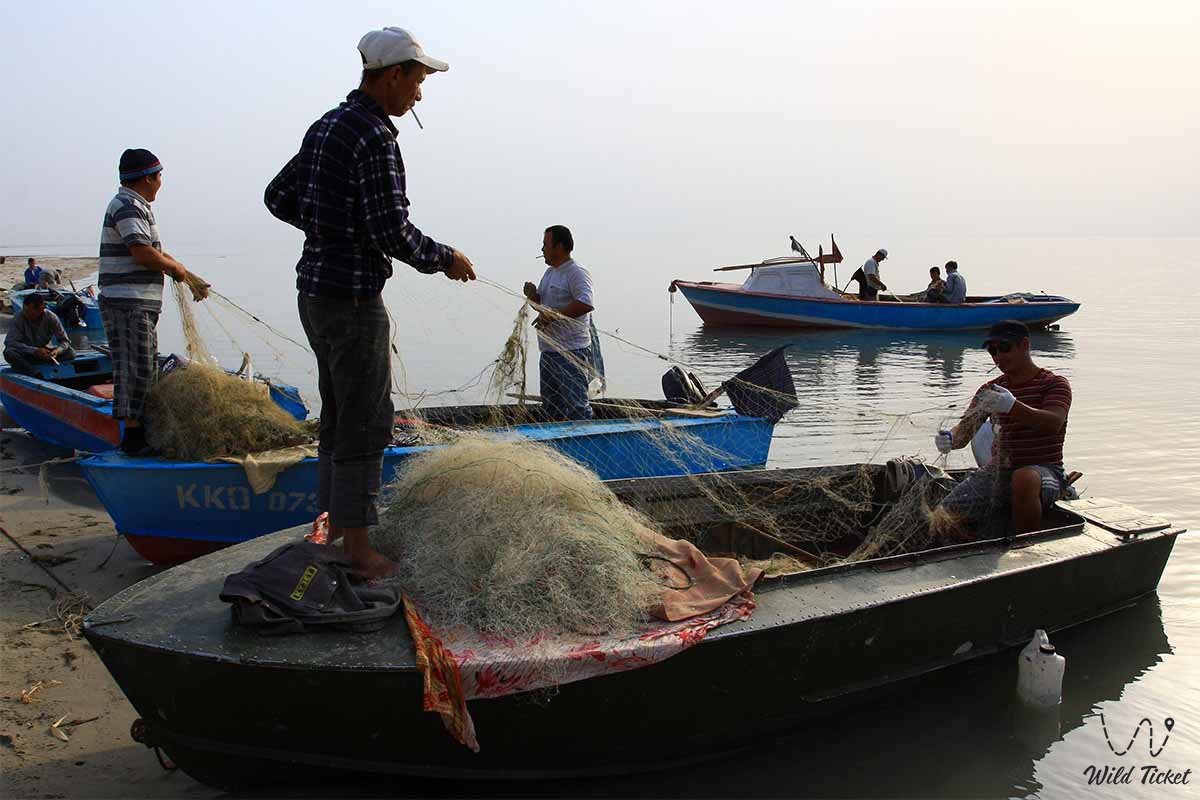
Through the construction of the formidable 17-kilometer Kokaral Dam equipped with spillway gates between 2003 and 2005, Kazakhstan succeeded in sealing off the Small Aral from the drying Large Aral. The water level in the northern sector rose by 4 meters and salinity dropped markedly, enabling the ecosystem to regenerate and reviving commercial fisheries. Today, the water volume in the Northern Aral has reached 23.4 billion cubic meters, with annual fish harvests measured in thousands of tons.
Detailed description of the venue
• Small Aral (Northern Sea) – The recovering northern marine basin in Kazakhstan where water levels have stabilized and fish stocks have returned thanks to hydraulic engineering structures.
• Kokaral Dam – A large-scale hydraulic engineering structure 17 kilometers long and 6 meters high, equipped with spillway gates, which rescued the Northern Aral from complete disappearance.
• Aralkum Desert (Akkum) – An expansive salt-flat desert covering over 60,000 sq. km, formed on the desiccated bed and lifting tons of salt-dust aerosols into the atmosphere annually.
• City of Aralsk – The historical center and port of the Kazakh Aral littoral, today hosting fish-processing plants ("Kambala Balyk") and the Museum of the Aral Sea History.
• Barsakelmes Island and Nature Reserve – A unique nature conservation area on the dried seabed, formerly the largest island of the Aral Sea, now transformed into a peninsula and sheltering populations of Asiatic wild asses (kulans) and goitered gazelles.
Architecture
The architectural landscape of the Aral region lacks traditional urban forms, yet it is replete with evocative industrial, historic, and engineering features. Preserved here are antique port infrastructure buildings dating to 19th-century expeditions, abandoned fish-canning factories, and solitary lighthouses stranded in dry steppe expanses.
The foremost modern architectural and engineering assets are hydraulic installations: the Kokaral Dam, the Aklak hydraulic structure, and flood-control dikes along the Syr Darya riverbed. These reinforced concrete and earth-fill structures symbolize human perseverance in correcting past errors and returning water to the parched steppe.
Legend
Among the indigenous inhabitants of the Aral region, profound oral traditions are passed down through generations recounting once-boundless, fish-filled, welcoming waters that guarded the steppes from searing heat and brought abundance. Elders maintain that the sea did not depart forever of its own accord, but merely retreated temporarily to teach humankind an austere lesson regarding the irreplaceable value of water.
According to regional lore, sincere respect for the Syr Darya and Amu Darya rivers, mindful stewardship of the environment, and unified creative labor can in time bring the great waters back to the deserted lands, reuniting the severed realms of sandy dunes and blue waves.
Conclusion
The Aral Sea is a monumental, tragic landmark of global significance, combining a bitter lesson in human hubris with an inspiring testament of hope. The revival of the Small Aral demonstrates that natural ecosystems possess immense regenerative potential when science, state will, and dedicated communities unite in purpose.
Visiting this austere and beautiful region leaves an indelible emotional impression, prompting every traveler to reflect anew on the fragility of the natural world, the value of every freshwater stream, and our shared responsibility to future generations.
Interesting sights nearby:
• Aral Geopark (Aral);
• Butakov Bay;
• Shevchenko Bay;
• Kerderi Mausoleum;
• Aral-Asar Settlement;
• Barsakelmes Nature Reserve;
• Barsakelmes Island;
• Ayteke Bi Village;
• Baikonur Cosmodrome.
Photogallery: