Unique layered remnant mountain on the floor of the ancient Tethys Ocean –
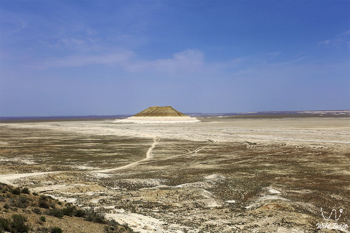
Mount Bokty (Kaz. Boqty) represents a world-famous geomorphological monument and solitary table-shaped remnant outlier located in the Karakiyan district of the Mangystau region in southwestern Kazakhstan. Situated within the territory of the Mangystau State Historical and Cultural Reserve, this monumental natural formation rises 165 meters above the bed of an extensive dried-up salt pan (sor) and a perfectly flat clay takyr. The foot of the mountain lies at an absolute elevation of only 8–19 meters above sea level.
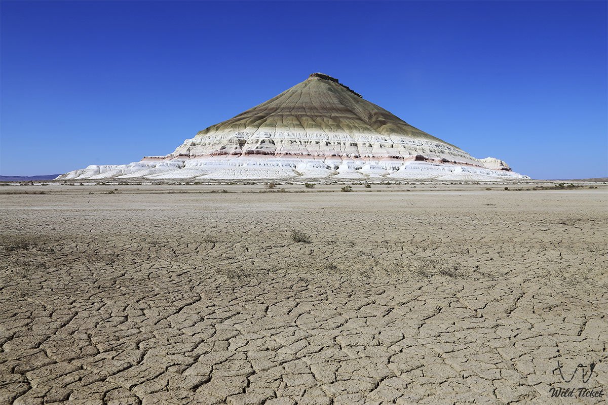
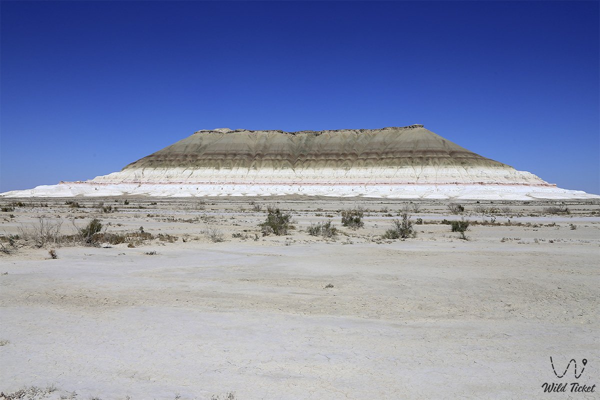
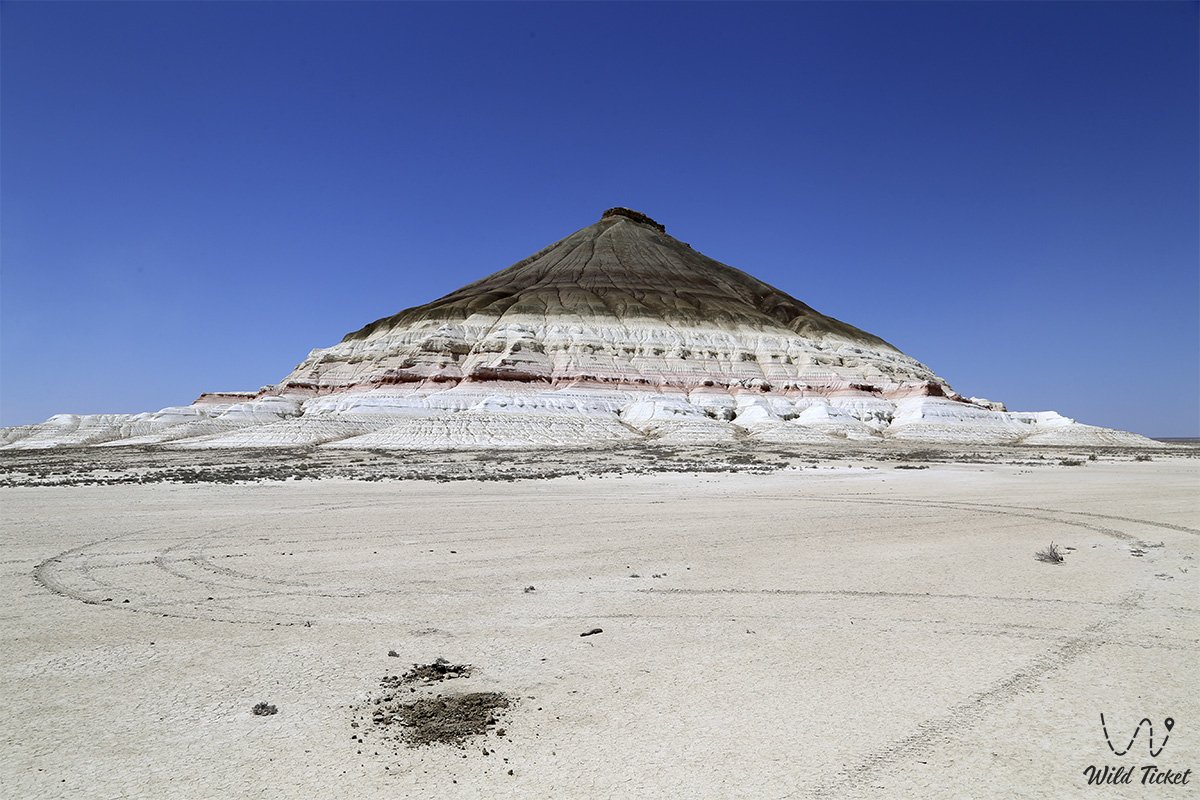
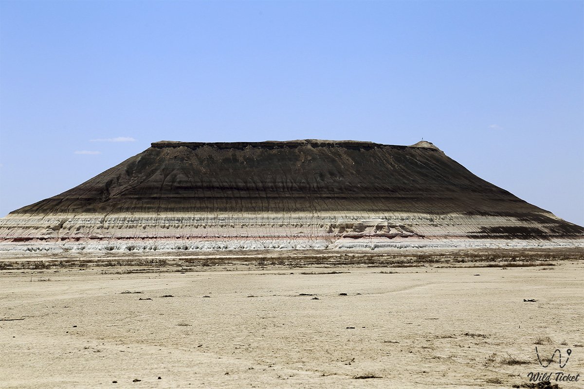
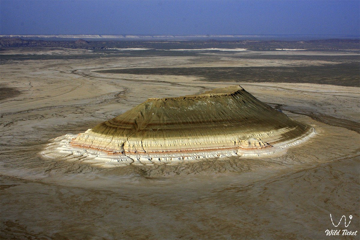
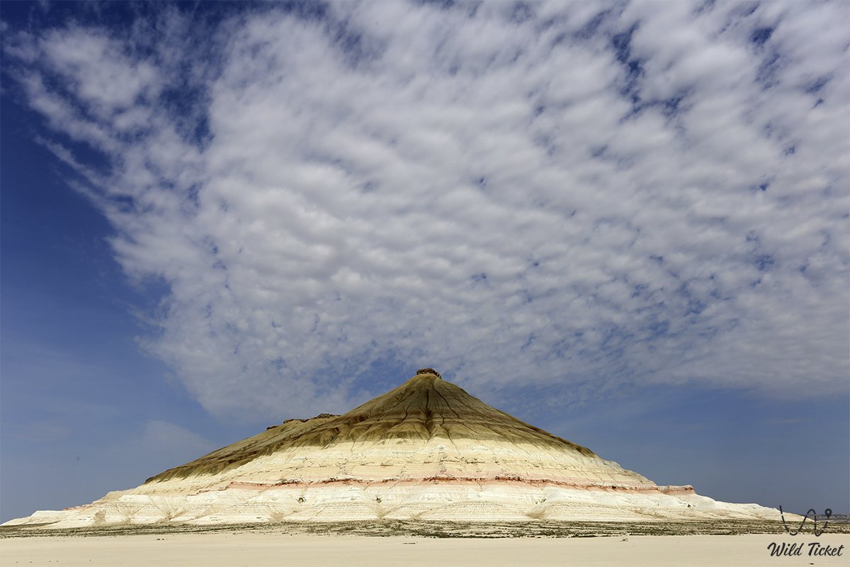
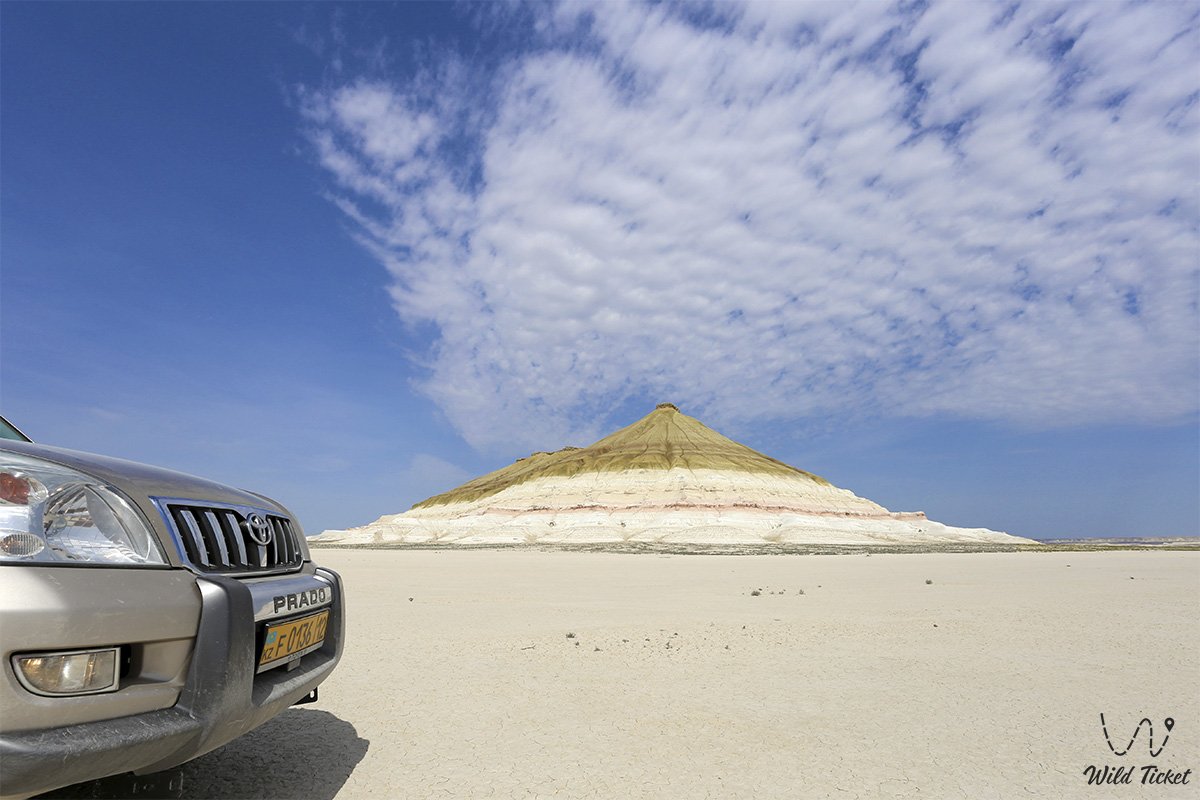
The main phenomenal feature of Bokty is the optical transformation of its silhouette when changing perspectives: viewed from the south, the mountain presents itself as a strict stepped pyramid lined with horizontal colored bands and comparable in monumentality to the Great Pyramid of Giza, while from side vantage points it resembles a giant overturned boat with a snow-white keel and an orange-yellow bottom.
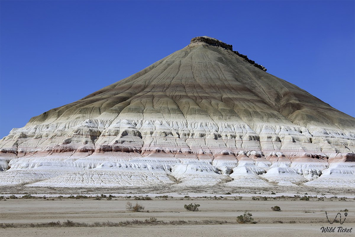
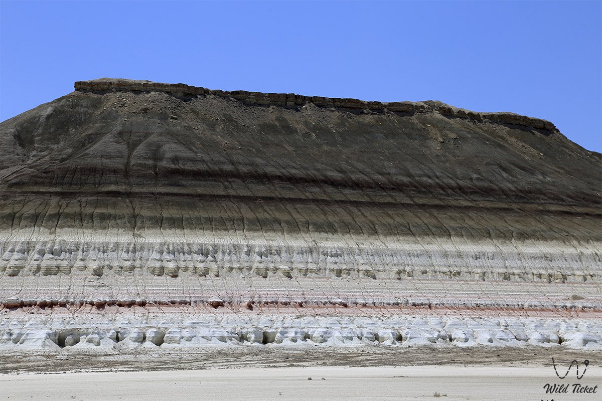
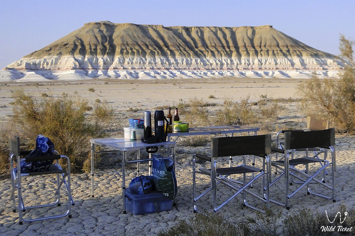
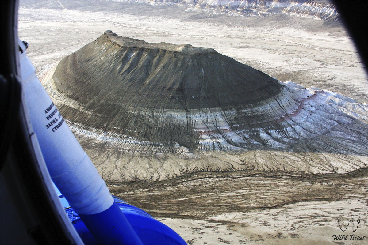
The lower half of the mountain is composed of contrasting white-yellow-red layers of chalk and clays enriched with iron oxides, which in the upper section abruptly transition to monochrome gray-brown and greenish hues. This distinctive profile gained nationwide recognition, having been immortalized on the 1000 tenge banknote of Kazakhstan.
The natural complex of Mount Bokty serves as a pivotal focal point for expeditions across Mangyshlak, being situated in the direct vicinity of the region's iconic monuments: just 7 km to the north lie the striped hills of the Kyzylkup tract ("Tiramisu"), 23–39 km to the east rise the chalk fangs of the Bozzhira tract, from the south the massif is bordered by the Baysary tract with its chalk ledges, to the west adjoins the Azhyrektyoy depression, to the north rises the Golbanshe knoll, 36 km to the northwest is the cliff-hewn Shopan-Ata Underground Mosque, and further east lies the route toward the sacred Beket-Ata Underground Mosque.
Hundreds of millions of years ago, the waters of the ancient Tethys Ocean raged here, leaving behind thick strata of chalk and marl on the bottom. Today, Mount Bokty is a recognized gem of auto-tourism and landscape photography, astonishing travelers with its flawless geometry, contrasting colors, and the silence of the salt desert. Located near the mountain is the sacred Senek Necropolis near the village of Senek, housing the famous Nurbergen Kalyshev Mausoleum, which serves as a place of pilgrimage.
--------------------------------------------
How to get there and visit –
Mount Bokty is situated on the floor of a dried-up salt marsh in the eastern part of the Mangyshlak Peninsula. The distance from the regional center Aktau is around 240–250 km, from the nearest city of Zhanaozen it is about 90 km, and from the village of Senek it lies 34 km to the east-northeast.
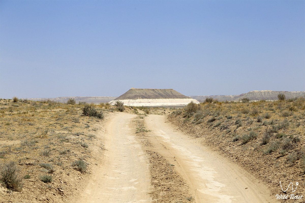
The primary route from Zhanaozen follows the paved R-117 highway through the village of Senek, or proceeds along a graded gravel road toward the Beket-Ata necropolis via the Golbanshe knoll, where one must turn off onto dirt field ruts and cover about 5–20 km across the clay plain.
GPS geographical coordinates: 43°25'21"N 53°47'58"E
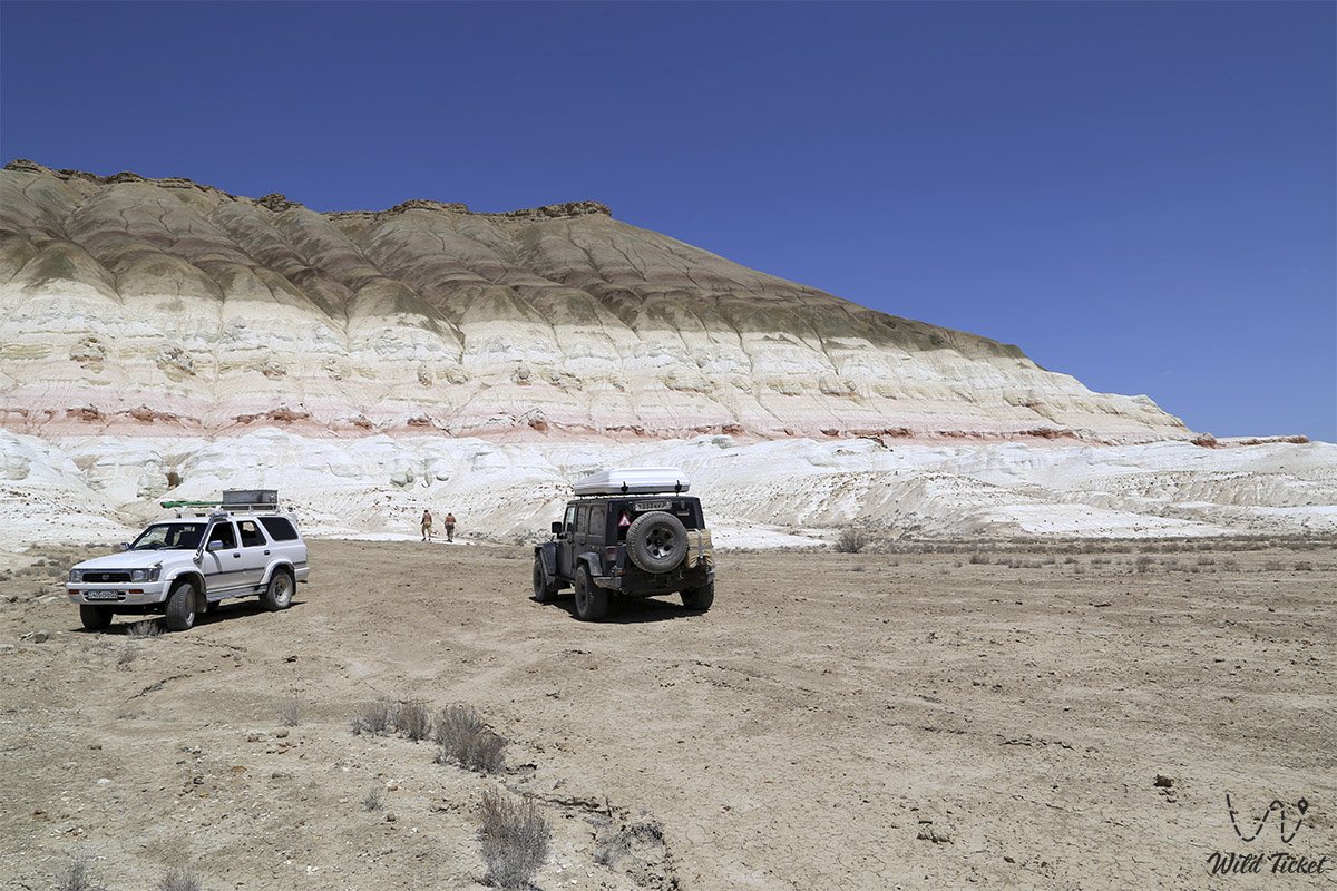
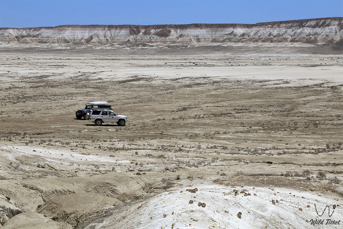
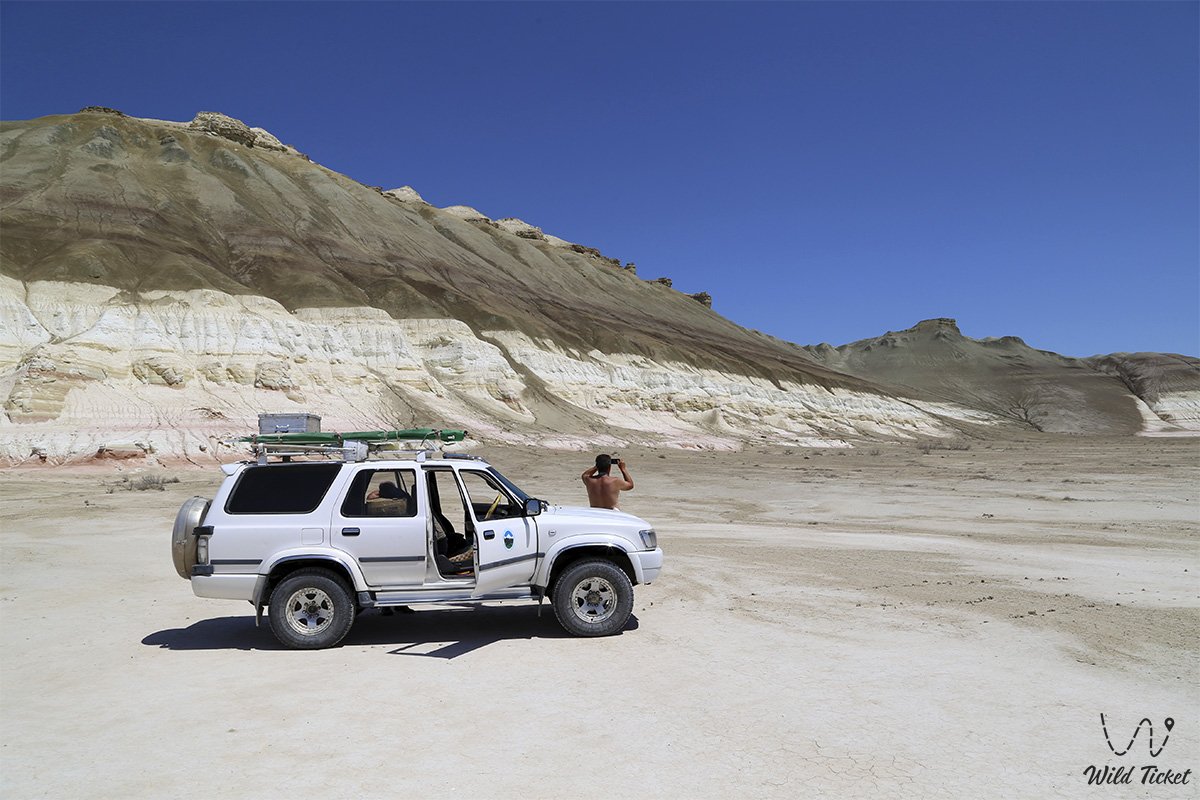
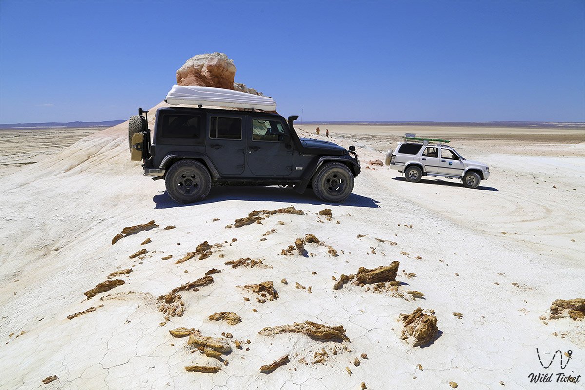
A reliable four-wheel-drive off-road vehicle (4x4) with high ground clearance and durable tires is essential for traveling to the mountain. Traveling through the region is strongly recommended as part of a convoy of at least two vehicles. Driving across the dry clay takyr in summer is comfortable, with the surface being as hard as asphalt. However, during rare rains and snowmelt, the salt-marsh soil around the mountain and the dirt tracks toward Bozzhira instantly turn into thick, viscous mud where wheeled vehicles become hopelessly stranded.
The climate here is sharply continental and ultra-arid: in summer, scorching heat reaches peak marks of +40...+44 °C, while in winter freezing winds blow. Closed trekking shoes with treaded soles, a head covering, sunglasses, and a drinking water supply of at least 5 liters per person are mandatory for visiting and climbing the loose chalk slopes.
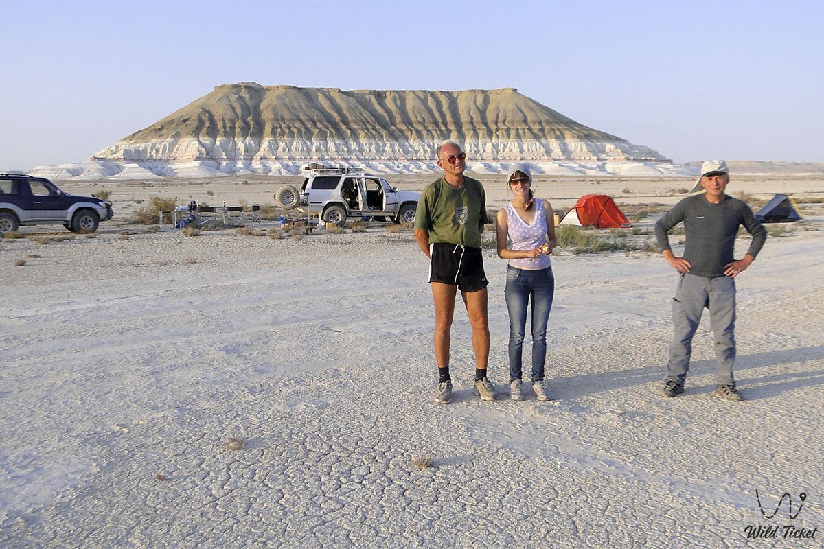
The most striking photographs are captured during the scheduled morning and evening "golden hours," when low raking sunlight accentuates the mountain's layered structure. Surrounding tourist infrastructure is nonexistent: there is no fresh water, hotels, or cafes. Travelers set up self-sufficient tent camps on the flat takyr at the foot of the mountain or stay overnight in the guest houses of the Beket-Ata complex.
--------------------------------------------
History
The geological chronicle of Mount Bokty's formation spans over one hundred million years and is inextricably linked to the evolution of the ancient Tethys Ocean, which separated the planet's protocontinents during the Mesozoic Era. Across geological epochs, continuous sedimentation took place on the bottom of the marine basin: myriads of calcareous microorganisms formed strata of snow-white chalk, while the runoff of clay silts from land enriched the layers with terrigenous material.
The distinctive coloring of Bokty developed due to periodic inflows of iron and manganese into the sediments, which oxidized under warm shallow-water conditions, creating tiers of bright red, crimson, and ochre-yellow hues. Later Paleogene sediments deposited during shifts in the hydrological regime formed the upper monochrome strata of gray, brown, and greenish marls.
Approximately 40–60 million years ago, during the tectonic uplift of the Ustyurt plate, the waters of Tethys retreated permanently. The exposed seabed was subjected to extensive exogenic erosion: hurricane-force steppe winds, temperature fluctuations, and rainwater torrents washed away loose deposits. Bokty survived as an isolated table-shaped remnant outlier thanks to the hard carbonate caprock of the chink, which shielded the underlying chalk and clays from complete disintegration.
In the historical era, the expanses surrounding the mountain served as nomadic pastoral grounds for ancient tribes and caravan routes traversing the chinks of Ustyurt. The distinctive landmark amid the smooth salt pan was utilized by Aday nomads as a natural observation post. In the 20th century, the massif was incorporated into the Mangystau State Historical and Cultural Reserve.
The modern chapter of the mountain's renown began in 2006, when the National Bank of the Republic of Kazakhstan placed the picturesque silhouette of Mount Bokty on the 1000 tenge banknote, turning this natural remnant into a national symbol of the country.
Information
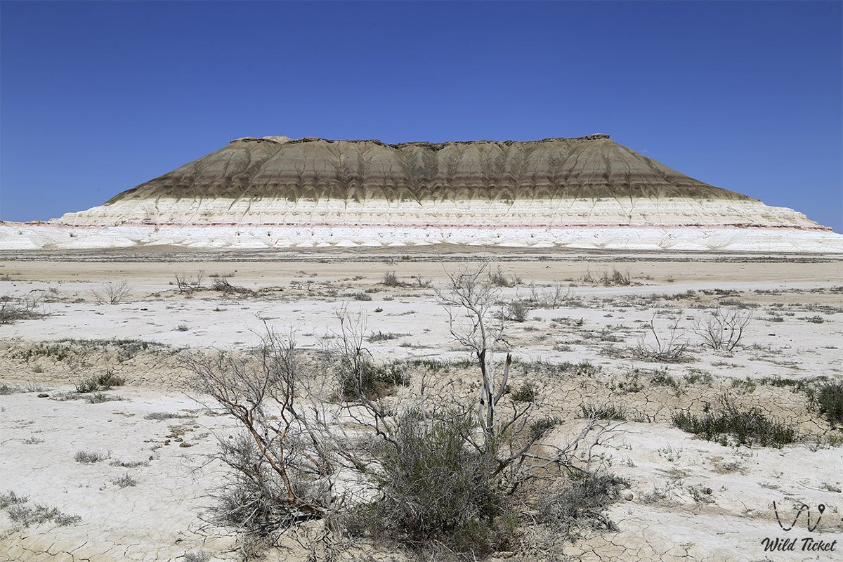
Geomorphologically, Mount Bokty represents an insular denudation remnant outlier with a pronounced table-top structure. The height of the outlier above the level of the salt marsh is 165 meters (the absolute elevation of the chink is about 165.8 meters, while the foot rests at 8–19 meters above sea level). The east-west extent of the preserved summit is 452 meters, with a width of about 92 meters in its central portion.
The base of the outlier extends 965 meters from west to east with a width of 591 meters. The mountain's footprint, elongated from southeast to northwest, measures 1.2 kilometers in length and up to 1.1 kilometers in width.
The base of the mountain is dissected by numerous meridional erosional gullies and ravines that resemble the giant paws of mythical beasts. A salt pan spanning tens of square kilometers stretches around the outlier.
In marl exposures at the base of Bokty, researchers and paleontologists regularly find traces of ancient ocean biota: fossil shark teeth, petrified mollusk shells, and sea urchin fragments.
The ecosystem of the monument is exceptionally fragile: soft chalk layers crumble easily under vehicle wheels and footwear soles. Driving off-road onto the slopes is strictly prohibited by reserve regulations.
Detailed description of the venue
The landscape and geomorphological complex of Mount Bokty includes several distinct visual zones and morphological elements:
• Summit chink – a flat table-like terrace 452 meters long, composed of durable greenish-brown limestones that protect the mountain from deflation.
• Colored stepped tier – the lower half of the massif, adorned with parallel horizontal bands of white, bright yellow, and carmine-red chalk.
• Southern facade ("Pyramid of Cheops") – the perspective from the Baysary tract, where stepped slopes and erosional facets create the illusion of a gigantic stepped pyramid.
• Northern facade ("Overturned Boat") – the view from approach roads near the Golbanshe knoll, where the mountain appears as the keel of an enormous white vessel with an ochre hull.
• Base of the mountain – a labyrinth of meridional ravines and clay ridges reminiscent of the clawed paws of a sphinx.
• Surrounding takyr – a perfectly level clay-and-salt plateau, forming a contrasting pedestal for the multicolored monolith.
Flora and fauna
The natural zone of Mount Bokty belongs to the extremely arid wormwood-saltwort desert of the Turan province. Vegetative cover is sparse due to severe soil salinization and the prevalence of takyr-like solonetzes. Specialized shrubs and semi-shrubs survive on the flat plain and at the foot of the outlier: gray-soil wormwood, salt-marsh biyurgun, boyalych, anabasis (itsegek), and spiny bean caper. In gullies, occasional bushes of tamarisk (saltcedar) and camelthorn (dzhantak) occur. In spring, during the brief window of snowmelt, the takyr is sparsely covered with short-lived ephemerals that burn out by early summer.
The animal kingdom is adapted to waterless expanses and sun-baked ground. Herds of domesticated two-humped camels roam the plain; among wild ungulates, swift saigas and goitered gazelles occasionally pass through, and argali mouflons sometimes descend from the Ustyurt chinks.
The world of small predators and invertebrates is represented by scorpions, camel spiders (solifuges), sand boas, toad-headed agamas, rapid fringe-toed lizards, and Ustyurt geckos. Jerboas and gerbils inhabit burrows at the base of the mountain, hunted by corsac foxes. Predatory birds soar in the sky above the summit of Bokty – long-legged buzzards, steppe eagles, and saker falcons.
Legend
An ancient Mangystau lore about the great ocean caravan is linked to Mount Bokty. The legend tells that when the waters of Tethys were receding, a colossal snow-white ship of steppe peris sailed across the marine expanse, carrying sacred treasures and the seeds of life.
When the seabed dried out in a single moment at the behest of formidable sky spirits, the vessel ran aground in the clay mud. To prevent the treasures from falling into the hands of evil underworld forces, the celestial protectors turned the vessel keel upward and transformed its timbers and sails into solid stone, painting the hull with the colors of dawn – crimson, gold, and white. Nomads believed that the petrified ark of Bokty guards the tranquility of the salt-marsh valleys, and that a traveler who witnesses the sunset here with pure thoughts receives a blessing for a distant journey.
Conclusion
Mount Bokty is a consummate monument of natural geometry and geological evolution in Mangystau, embodying millions of years of planetary history, the austere lines of pyramids, and the vivid colors of the ancient Tethys Ocean. Symbolizing the resilience and endurance of the Kazakh steppe on the national currency, the outlier draws the gaze of everyone who sets foot on the ancient land of Mangyshlak.
A journey to Mount Bokty imparts an unforgettable sense of primeval silence, serving as a harmonious link between the sacred shrines of Shopan-Ata and the cosmic chalk abysses of the Bozzhira tract.
Interesting sights nearby:
• Ustyurt Plateau;
• Kyzylkup Tract;
• Kenderli Salt Marsh;
• Karynzharyk Depression;
• City of Zhanaozen;
• Caspian Sea in Kazakhstan;
• Ustyurt State Nature Reserve;
• Karagiye Depression;
• Silicon Valley in Mangistau;
• Mount Sherkala.
Photogallery: