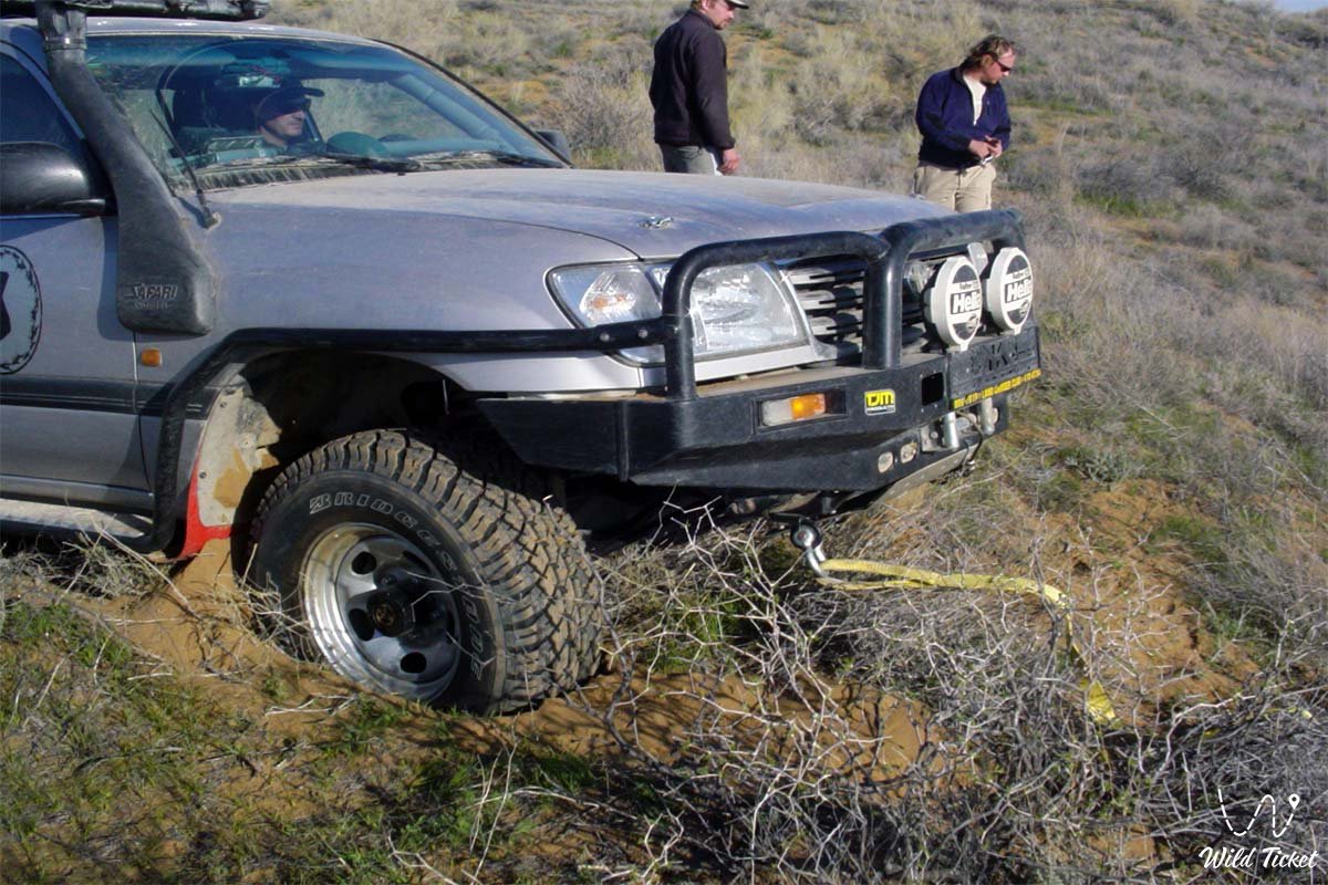
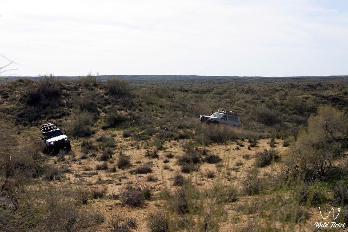
Journey to the Moyynkum Desert from Almaty -
Moyynkum is a desert and sandy valley in the Turkestan and Zhambyl regions.
Geographical Location
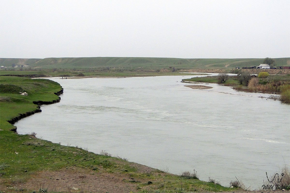
To the north and east, the Moyynkum Desert is bounded by the Shu (Chu) River valley, and to the south by the foothills of the Karatau and Kyrgyz Alatau ranges.
Geographical Location
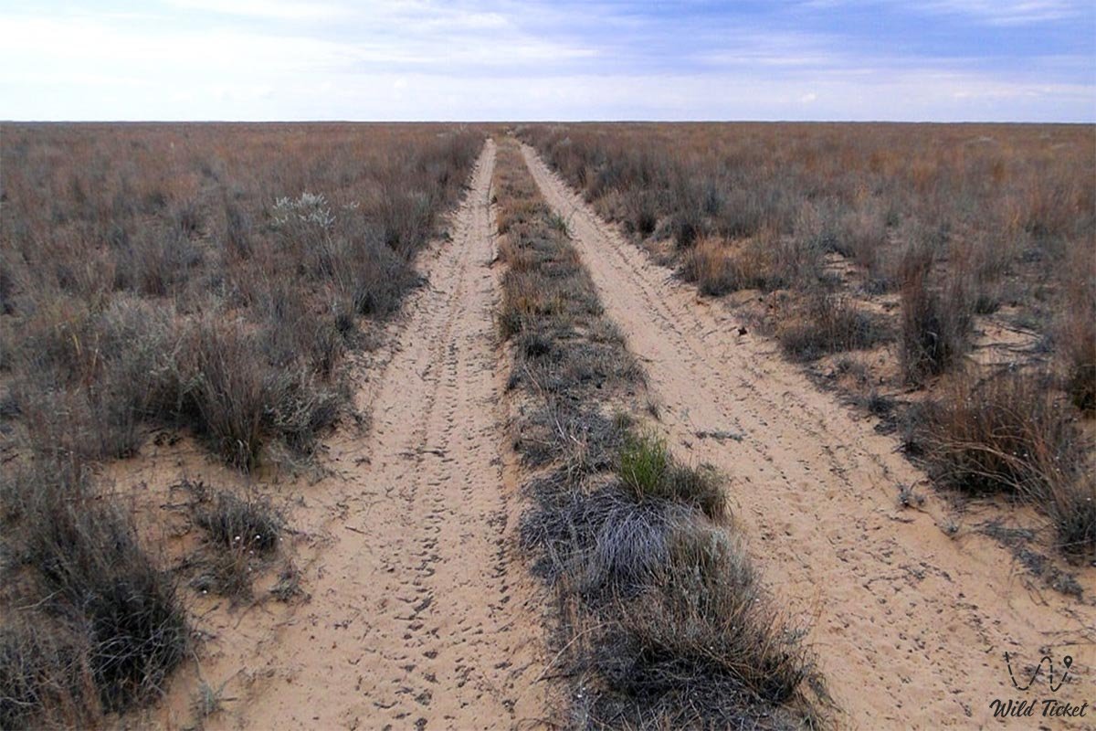
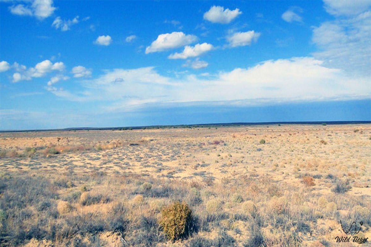
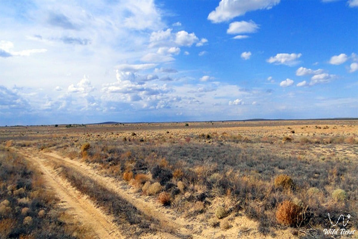
Its area is 37,500 km² and extends 500 km from southeast to northwest. The width of the part of Moyynkum connected to the Shu River is 15-30 km. The eastern part is divided into separate ridges 10-25 m high and 1-2 km long. In the central part, there are sandy ridges 50-70 meters high. Groundwater is located too close in depressions. Groundwater is deeper (35-50 meters) in the southeast and west.
Climate
The climate is very dry, continental. The average January temperature is -11.2°C in the west (near the village of Tasty), 2-7.5°C in the east (near the village of Umbet), and 26.9-25.6°C in July. The minimum air temperature is -40-44°C. Annual precipitation ranges from 150-330 mm. Snow depth does not exceed 10-15 cm.
Plants and Animals
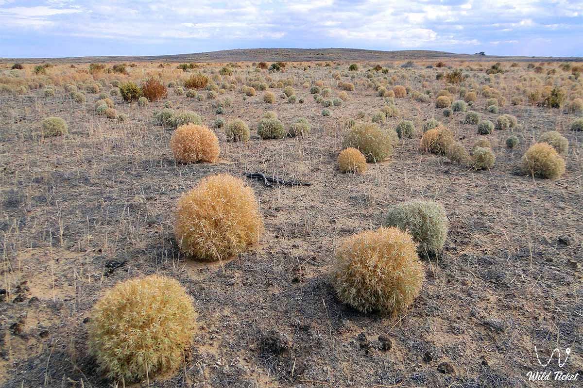
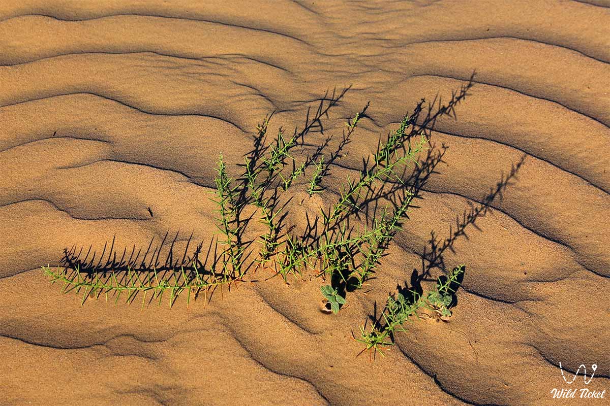
Saxaul, wormwood, and other plants grow in the Moynykum Desert. Saiga antelopes, gazelles, rabbits, hedgehogs, partridges, and terns inhabit the area. Part of the Moyynkum Desert is a pasture. The oases are used as hayfields. The Andasai Nature Reserve is located within the desert.
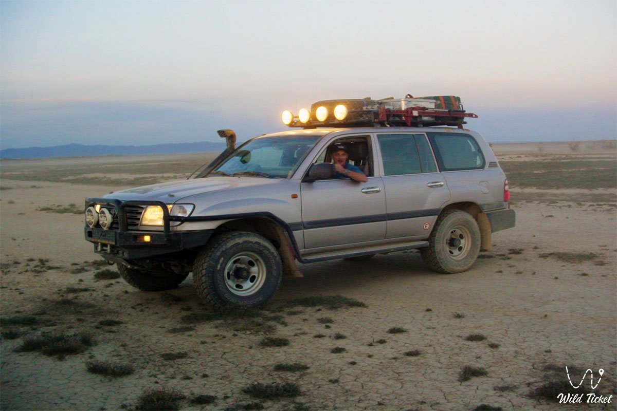
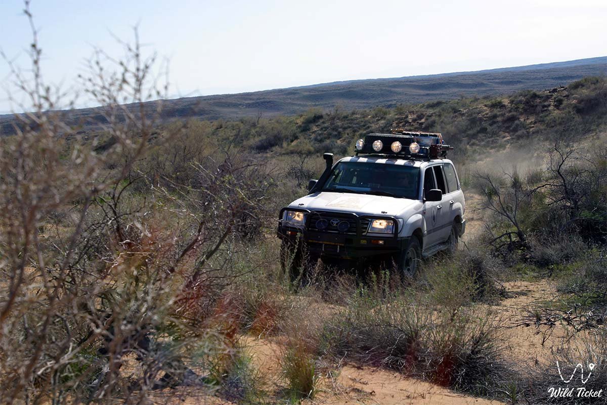
Photogallery: