Recreation and travel along the rivers of Aktobe region -
Travel along the Irgiz River camping -
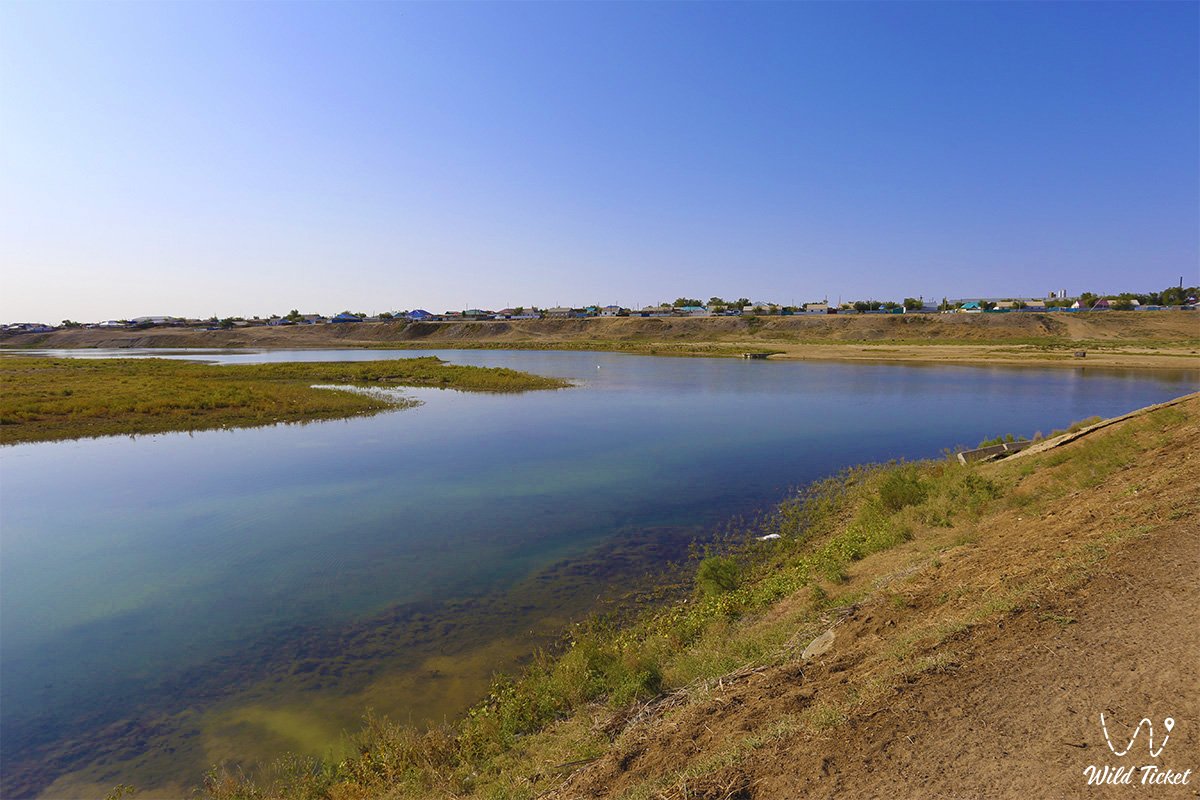
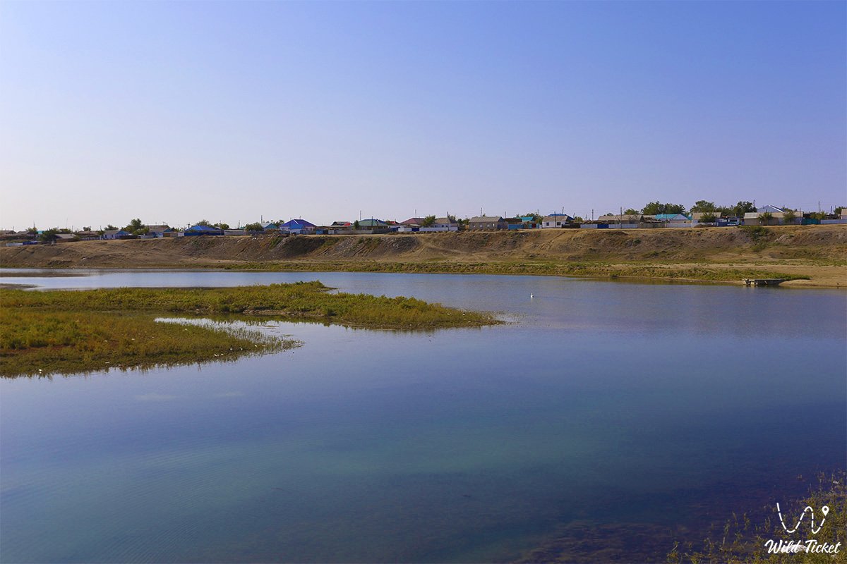
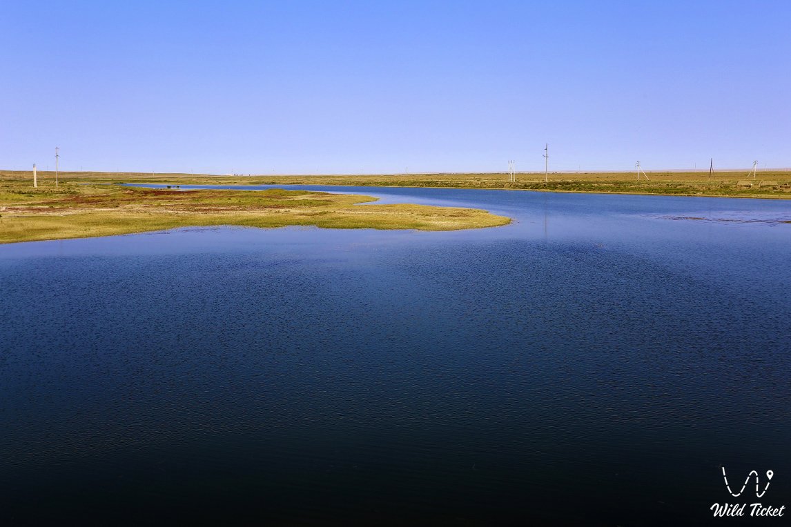
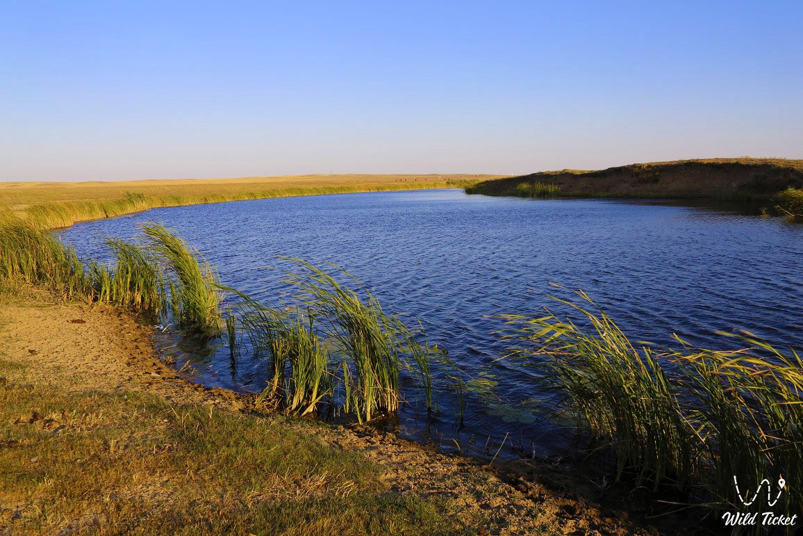
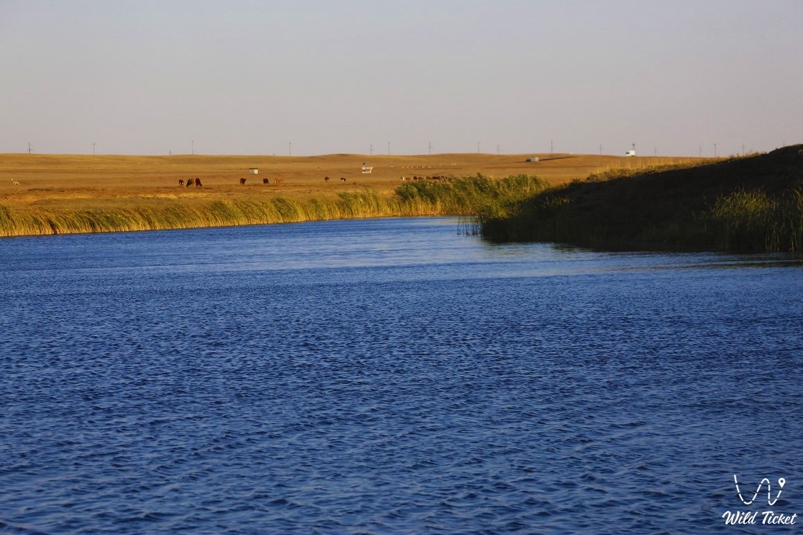
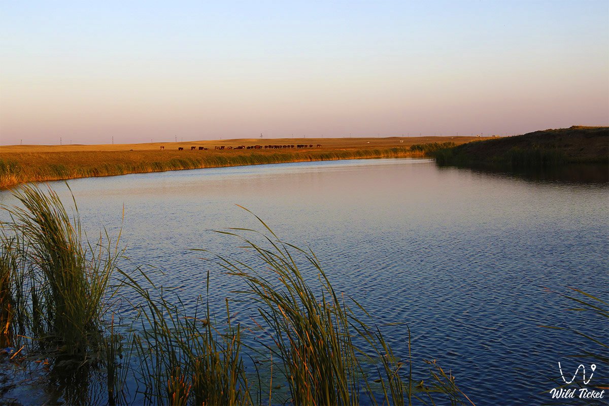
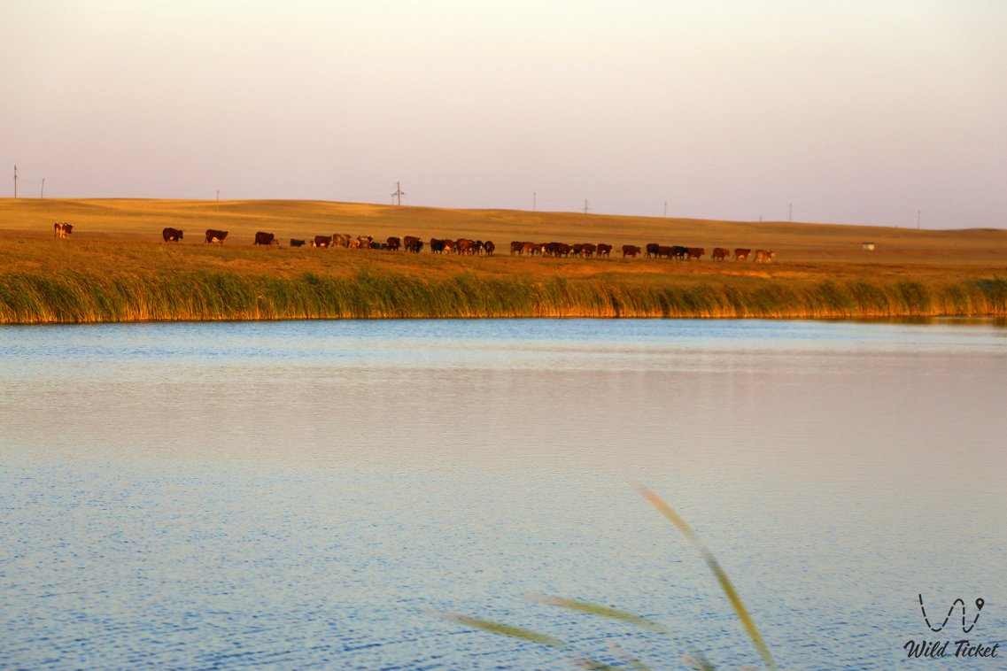
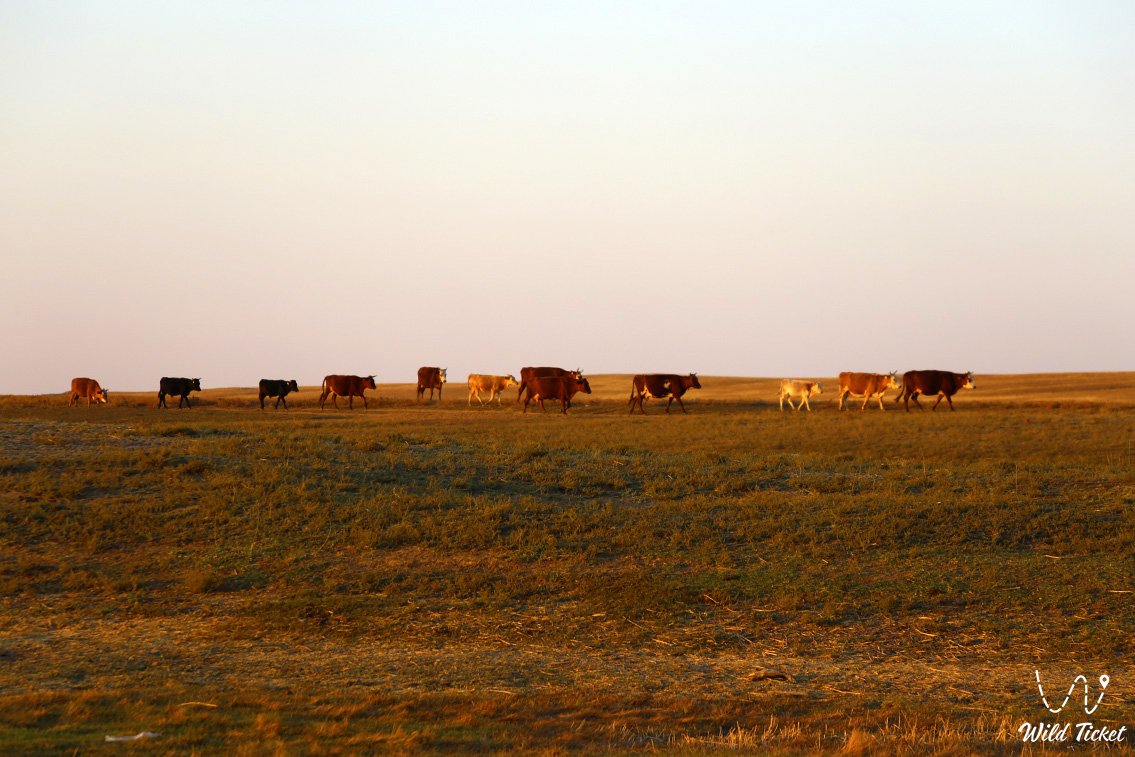
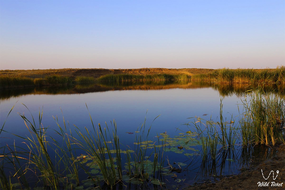
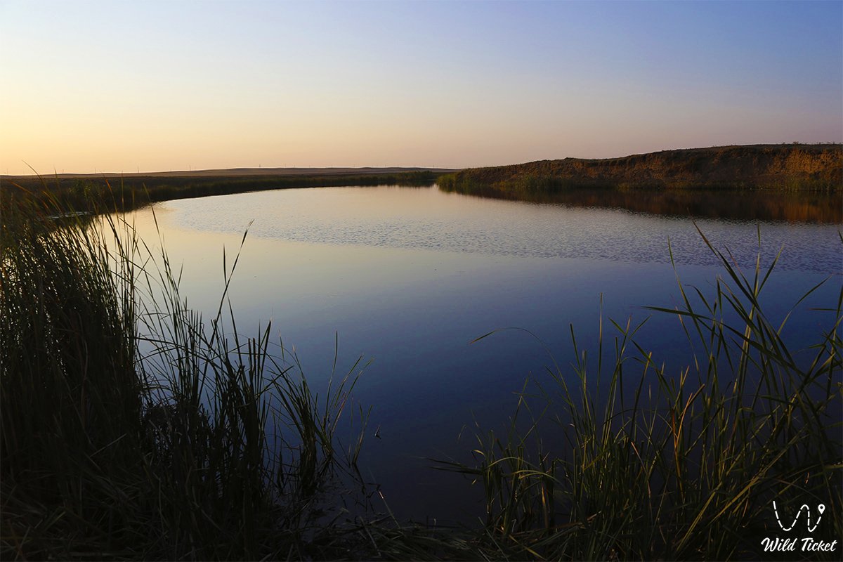
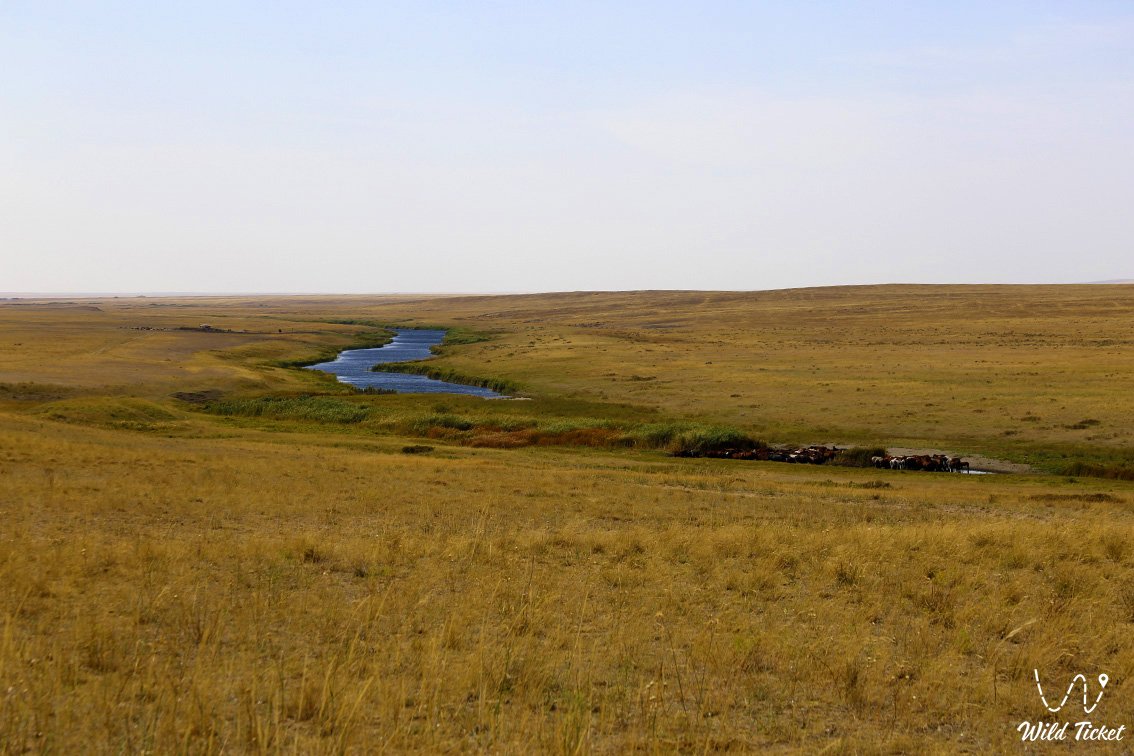
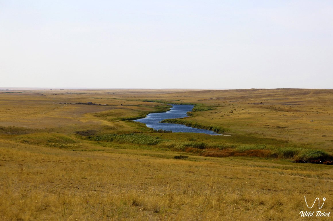
Irgiz is a picturesque river in Aktobe region, the length of the river is 593 kilometers, the catchment area is 31600 km2, belongs to the basin of the Turgai River, is a right tributary of the Turgai River. The river begins at the water sources on the eastern slope of the Mugalzhar Mountains, flows into the Turgay River and flows into Lake Shalkarteniz. The river borders with Kostanay and Karaganda regions. The river flows mainly in a southerly direction to its confluence with the Turgai. Irgiz's nutrition is mainly due to snowmelt. From November to April, the river is covered with ice. The Irgiz River has 136 small branches.
Main tributaries: Baksais, Wimola, Karabutak, Shetyrgyz. In the upper reaches of the valley, the river widens from 0.4 to 0.6 km, to the mouth by 1.5-1 km and merges with the valley of the Turgai River. The range ranges from 200 m to 2 km. The river channel is 20-50 m wide in the upper reaches and 120-160 m in the middle reaches. 90% of the water flow is formed during spring floods, and in summer it is divided into streams in the lower reaches. The mineral content in the water ranges from 50-100 mg/ l during transportation to 2000-3000 mg / l during the ripening period. The long-term average water consumption in the area of the village of Schoenbertal is 6.70 m3/s.
---------------------------------------------
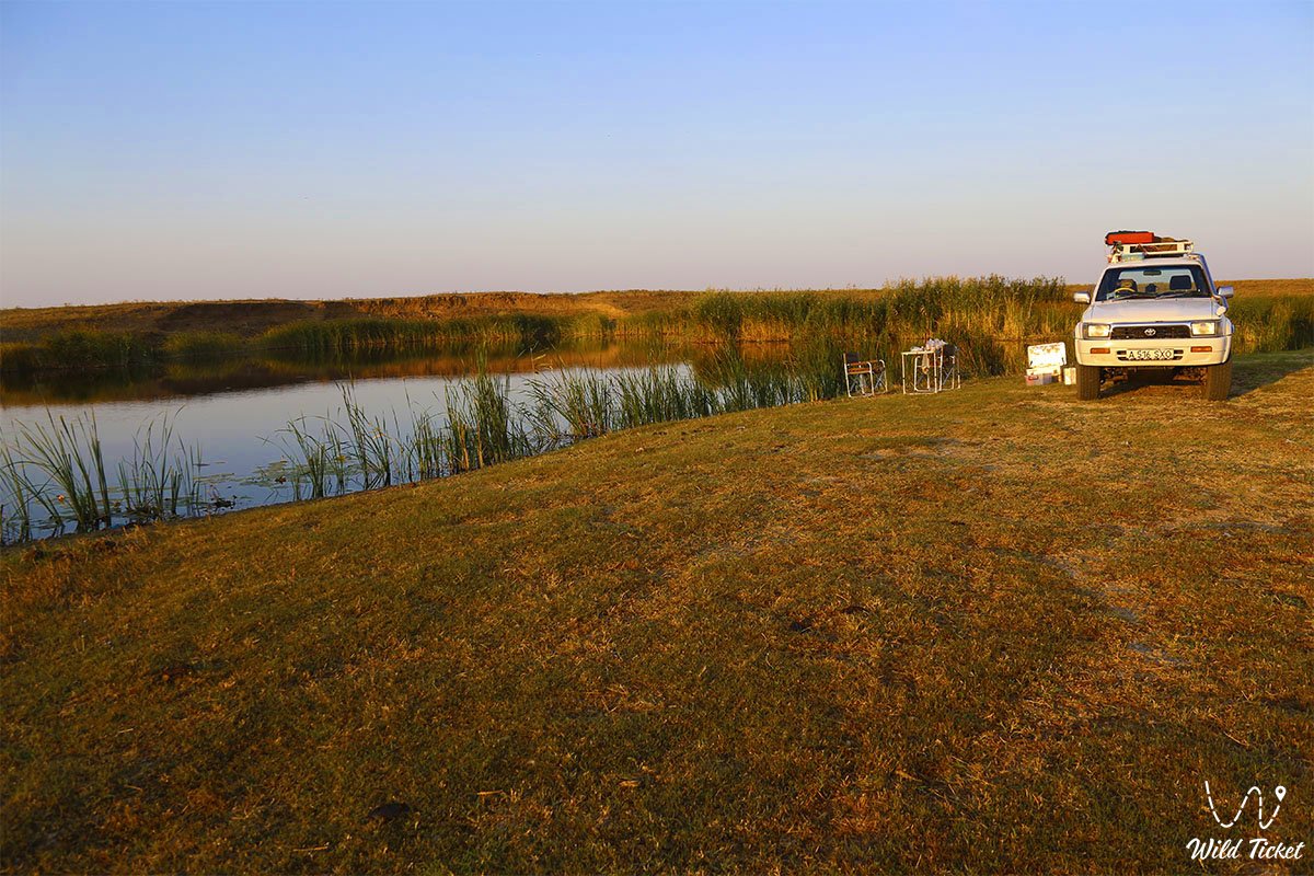
How to get there, visit -
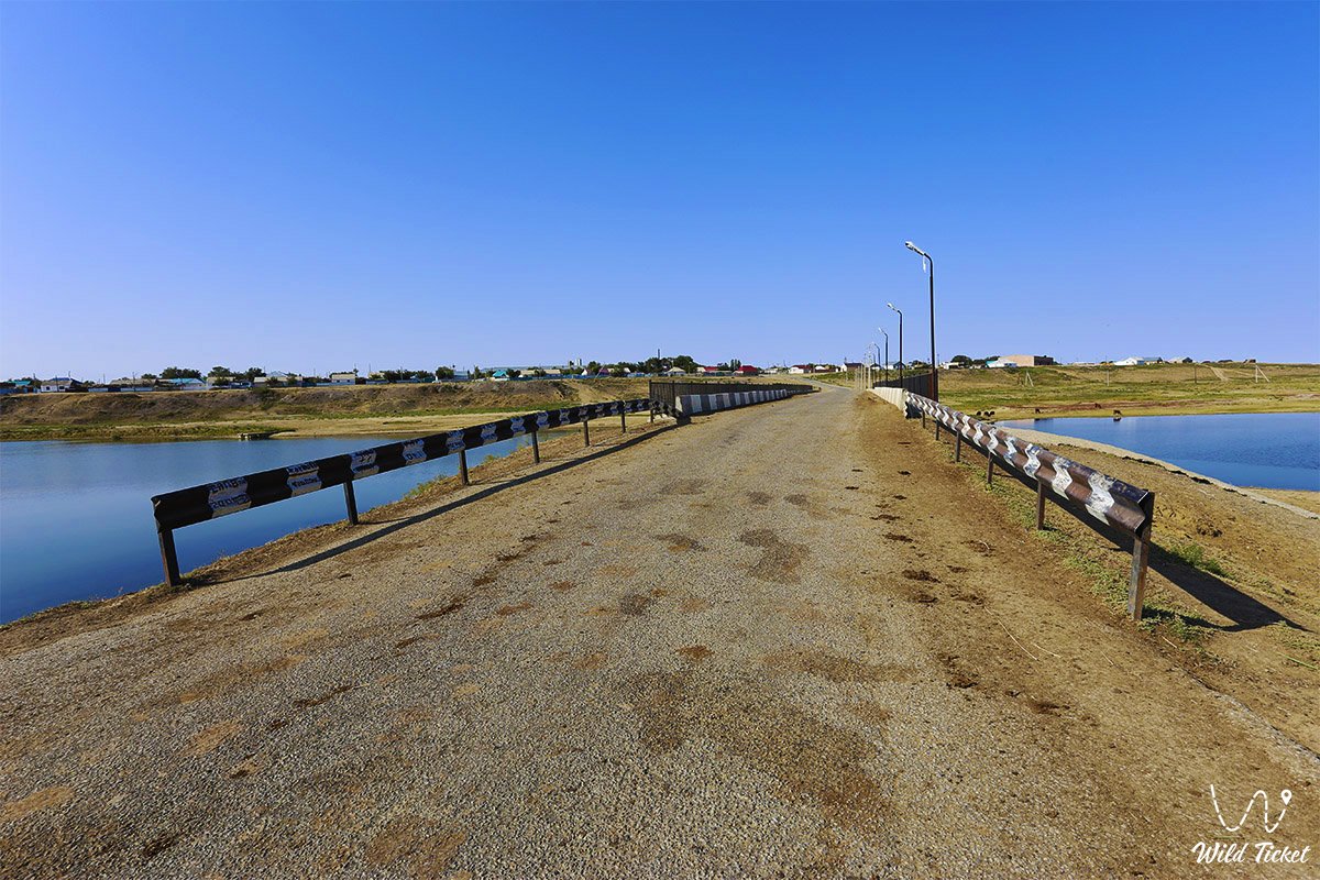
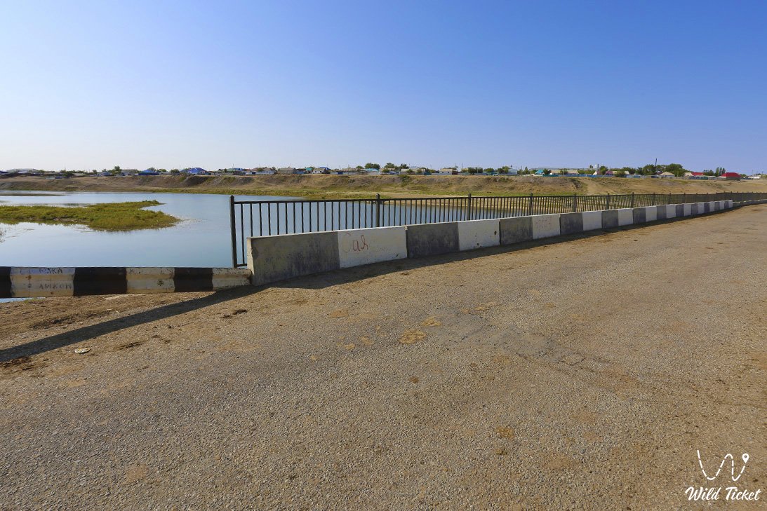
The Irgiz River is located in Aktobe region, Republic of Kazakhstan.
GPS coordinates 48.2579°N 62.0222°E
Photogallery: