One of the deepest dry depressions of planet Earth and Western Kazakhstan –
The Karagiye Depression (Kaz. Qaraqiya oypaty, historically also known as Batyr, which translates from Turkic as "warrior", or by the Turkic name qaraqiya – "black slope" / "black jaws") represents a unique and extreme geomorphological formation.
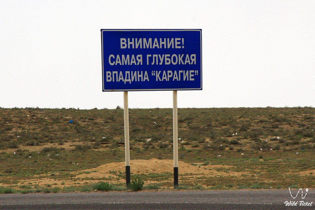
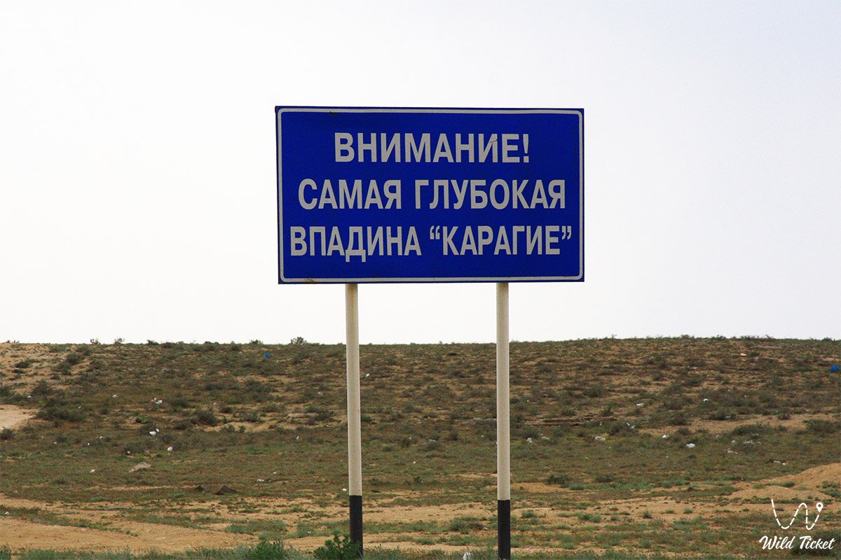
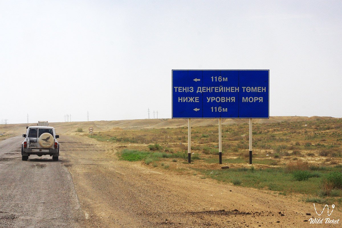
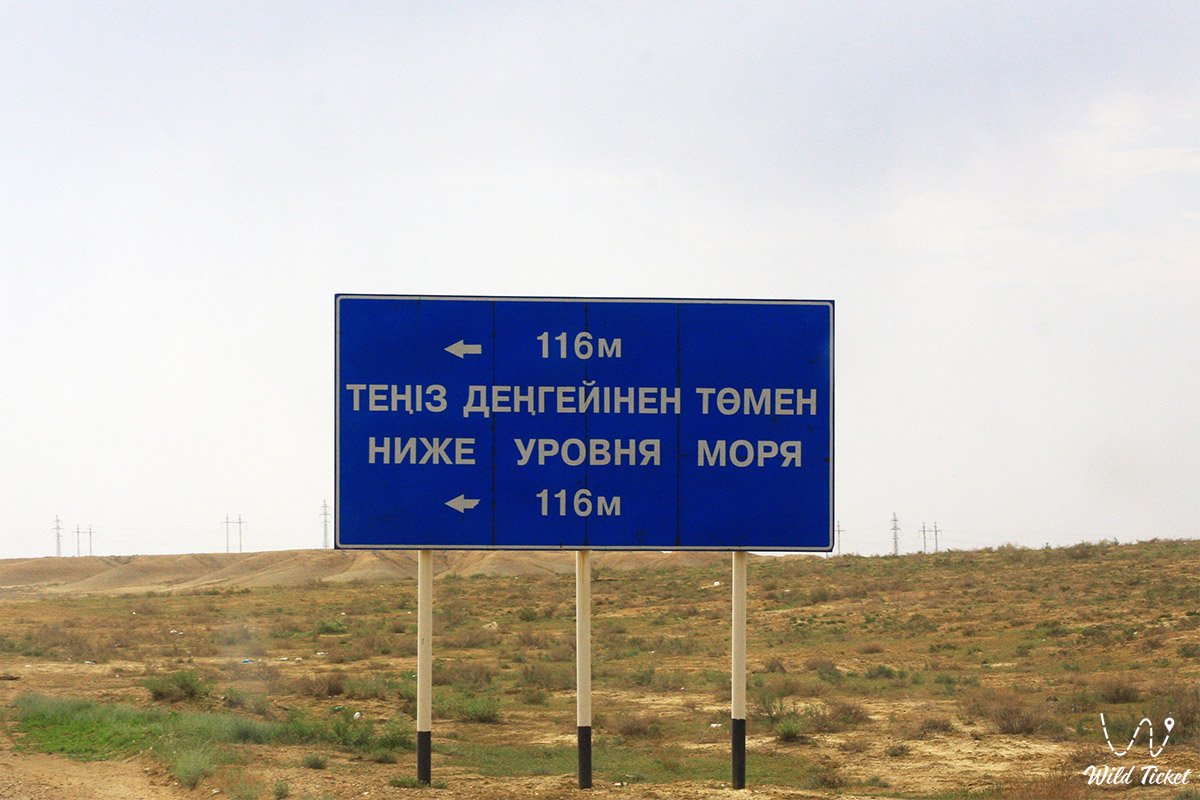
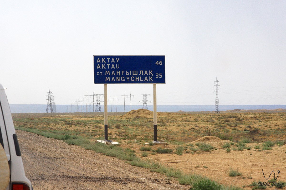
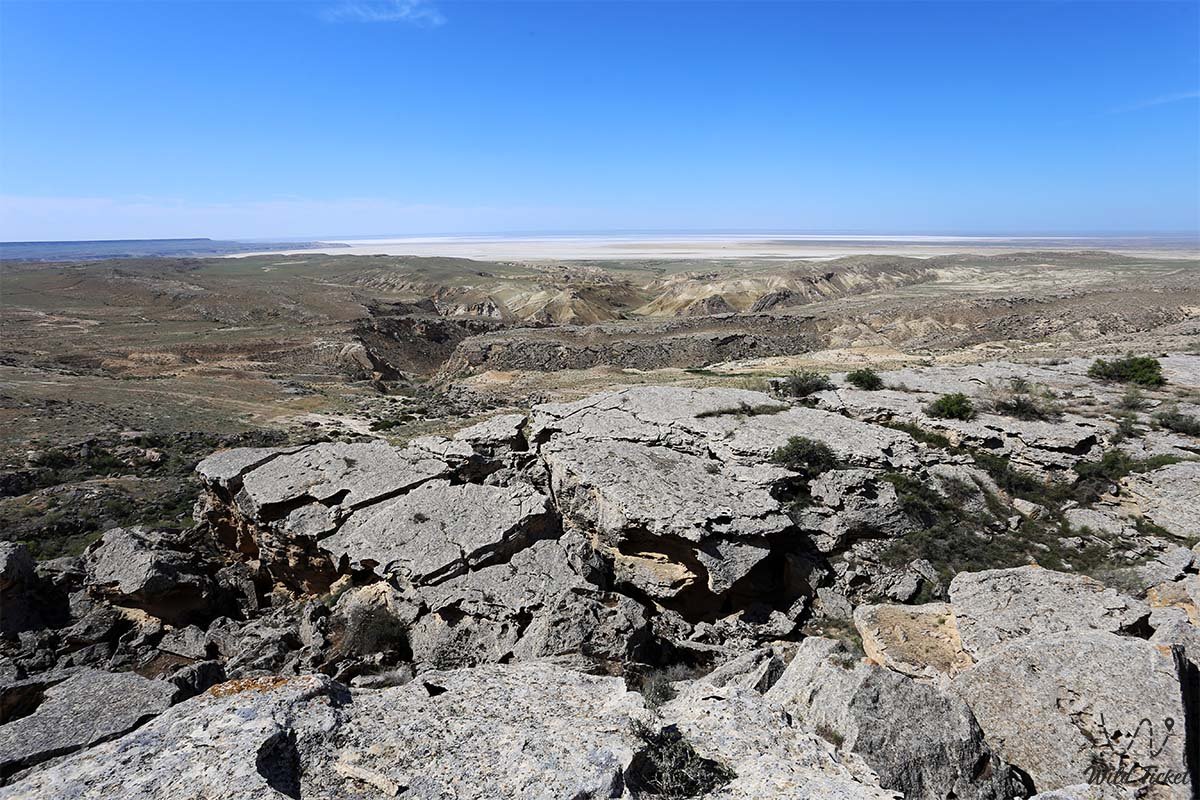
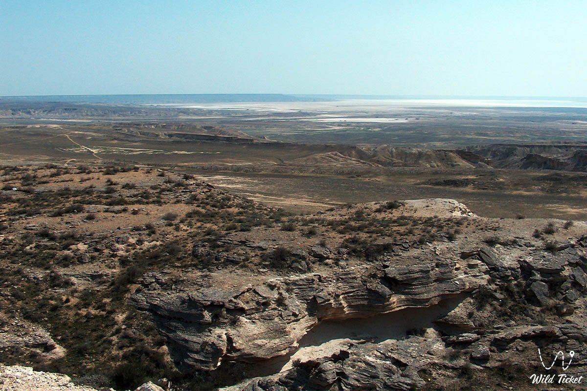
Karagiye is the deepest dry depression in Kazakhstan, the fifth deepest on the planet, and one of the lowest points in Asia, plunging with its floor to 132 meters below world sea level. Located on the Mangyshlak Peninsula off the eastern shore of the Caspian Sea, in immediate proximity to the grandiose chinks of the Ustyurt Plateau and approximately 50 kilometers east of the regional center – Aktau, this colossal bowl stretches for 85 kilometers in length and up to 25 kilometers in width.
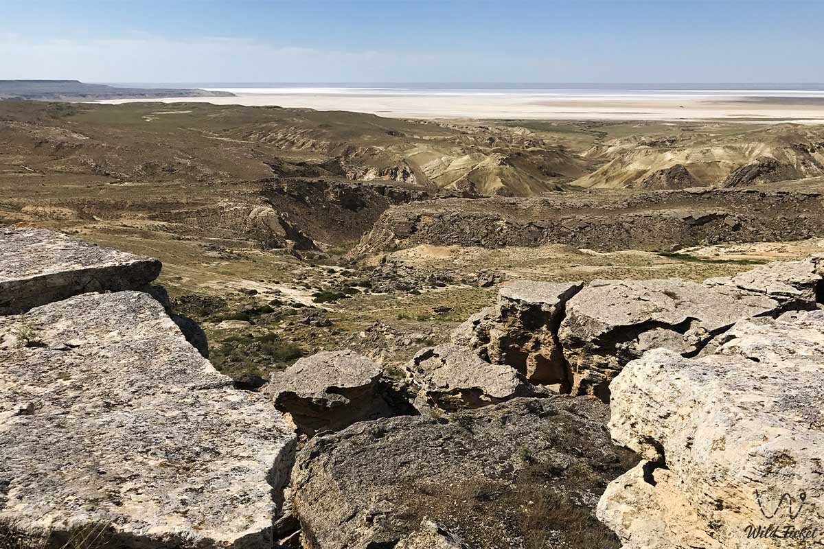
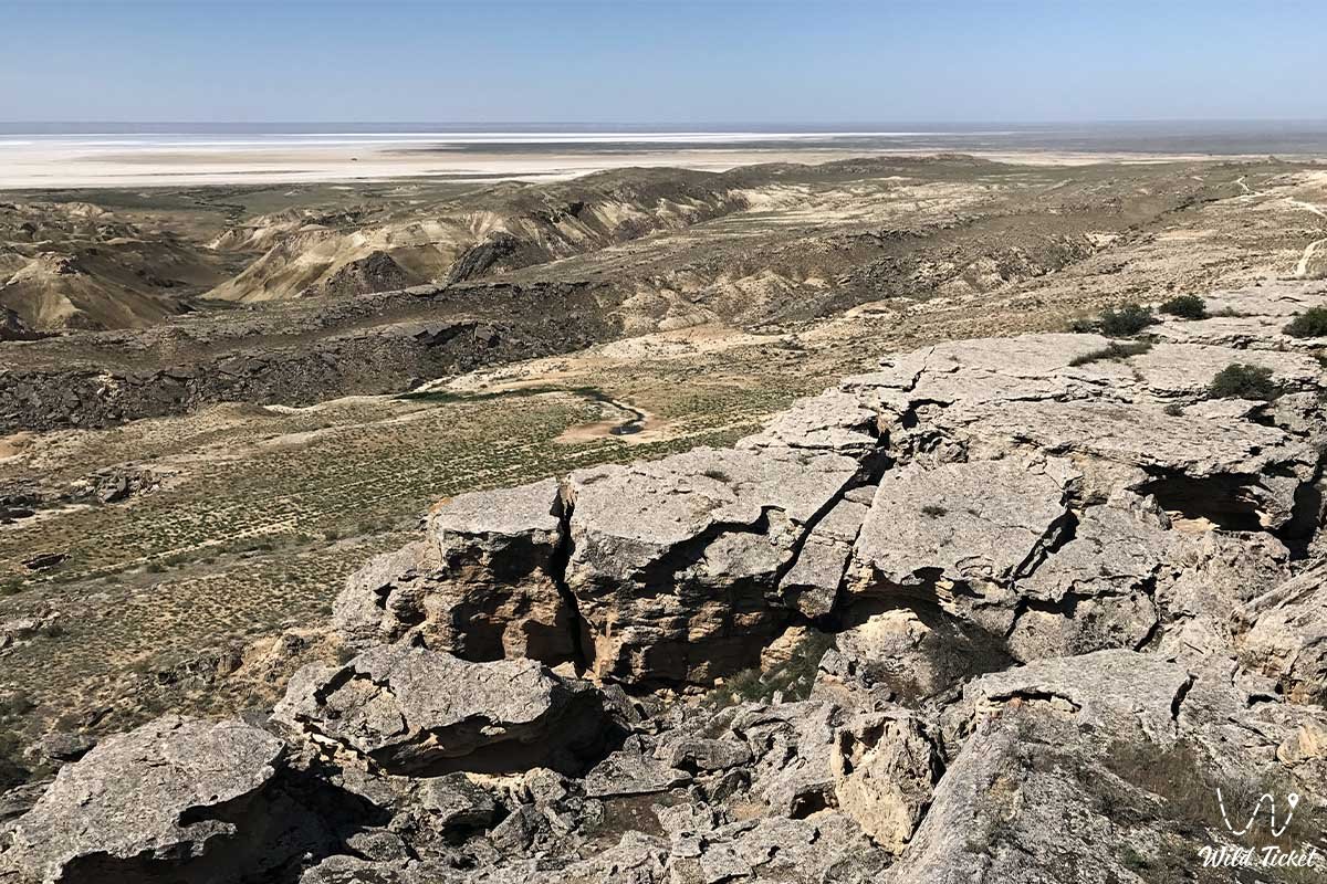
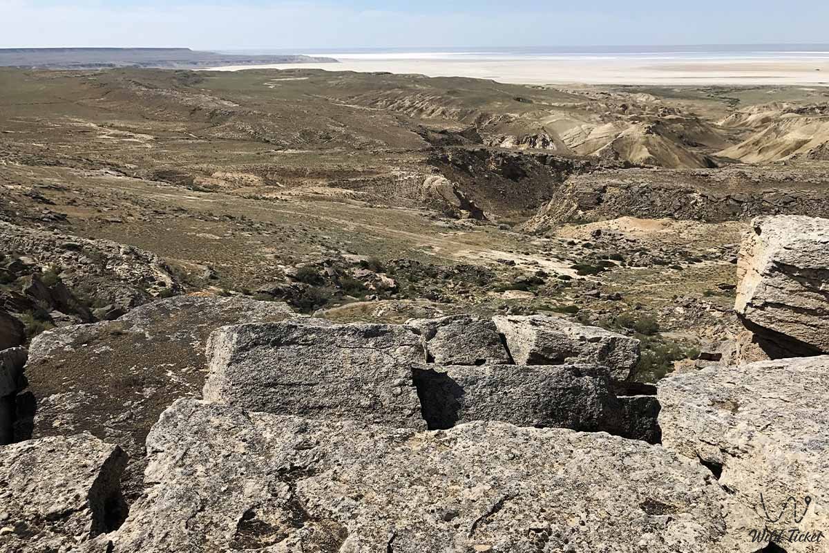
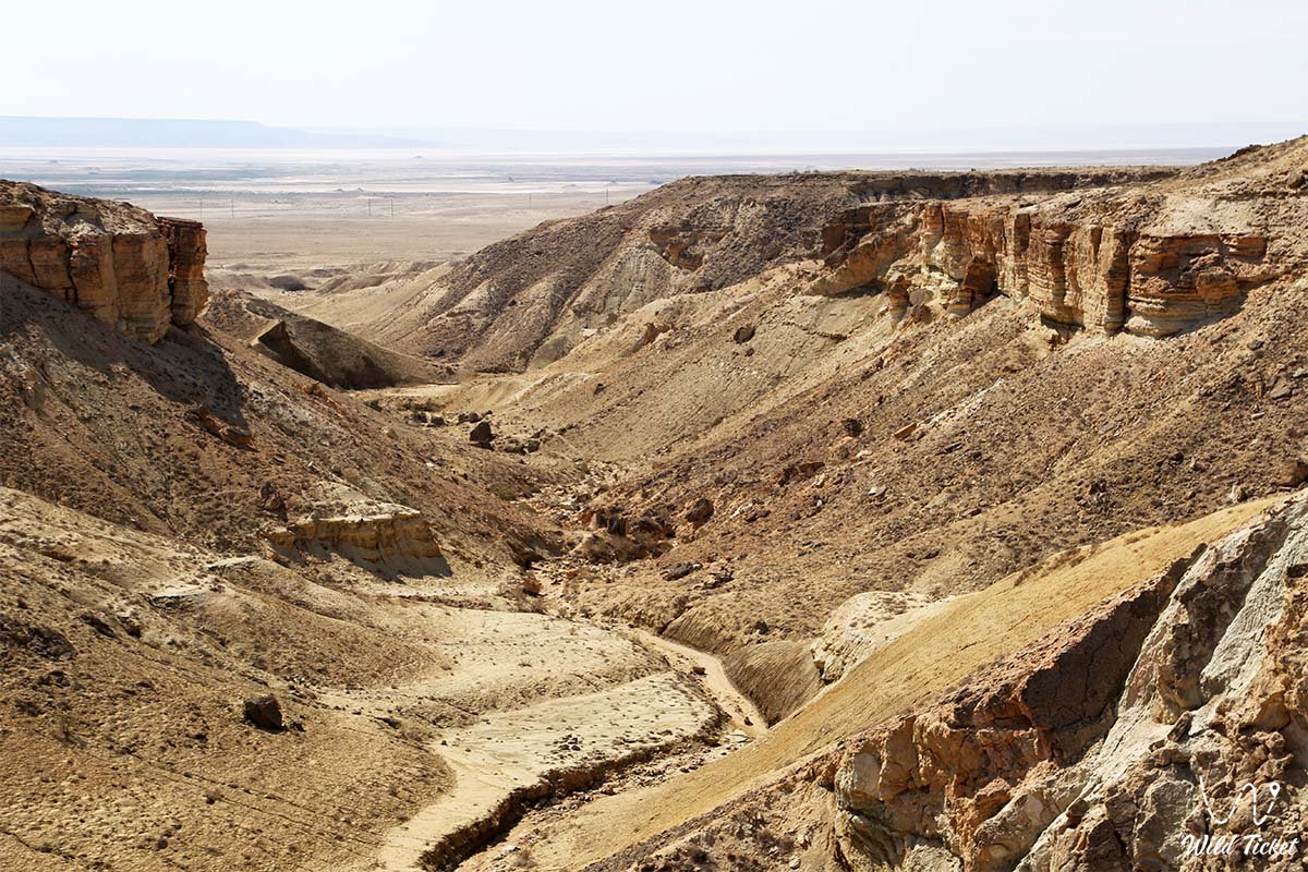
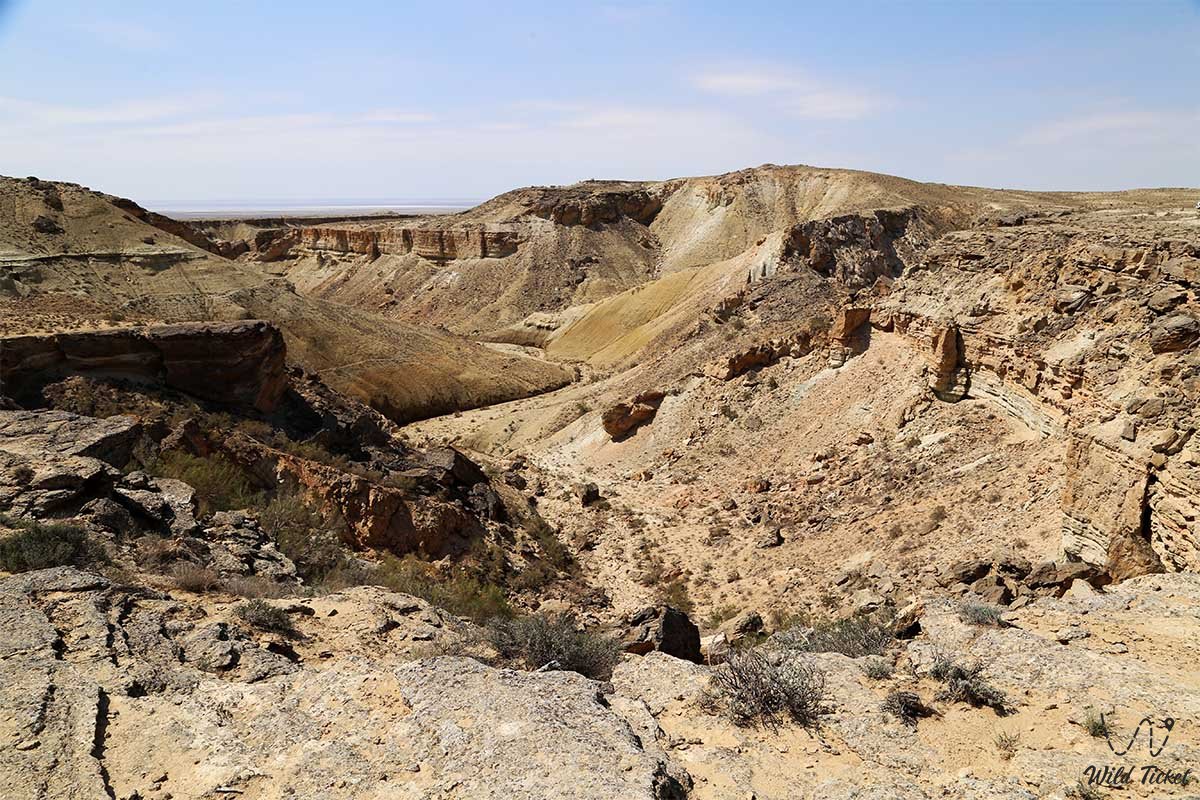
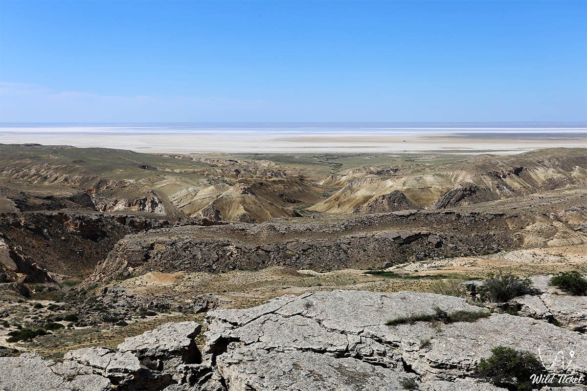
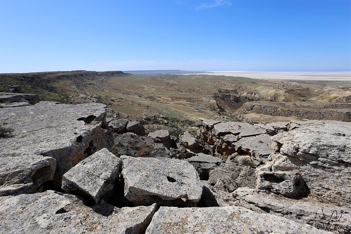
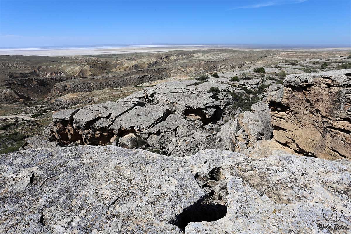
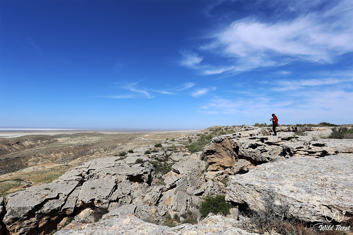
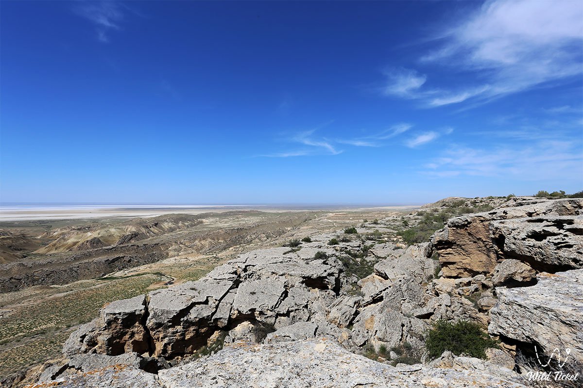
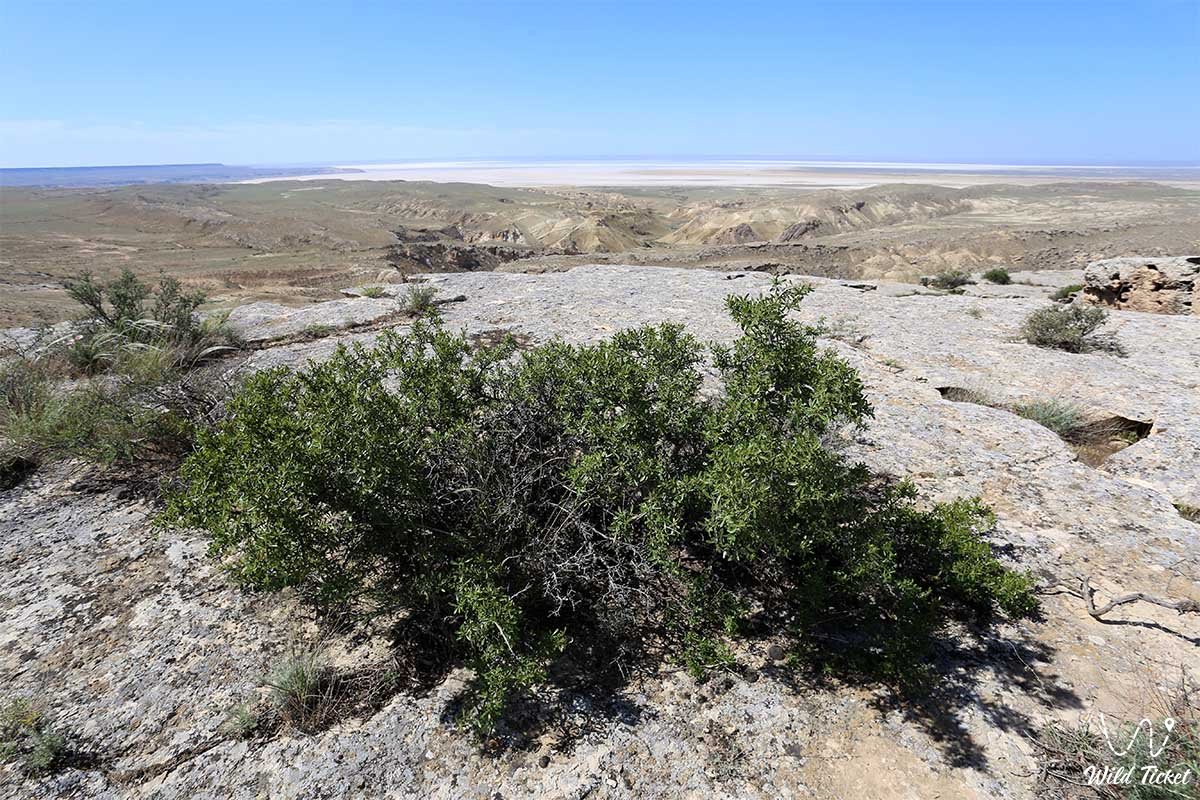
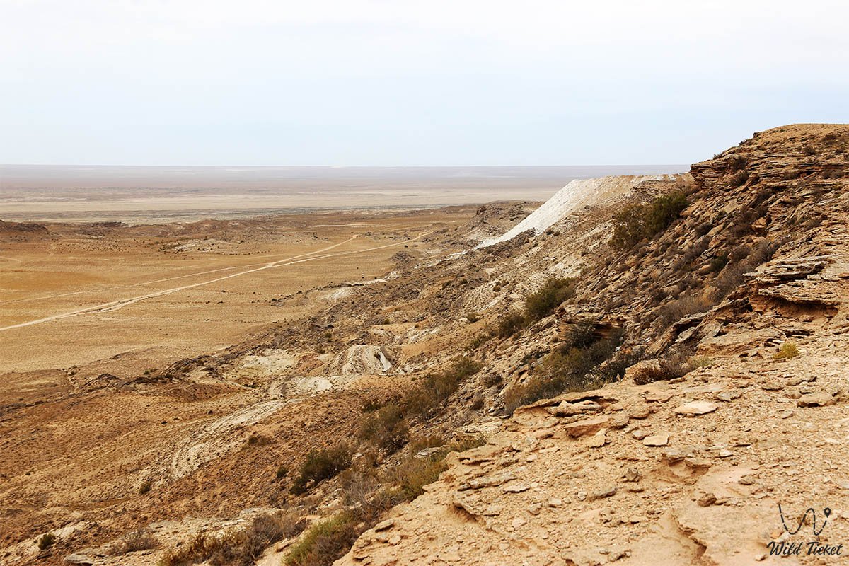
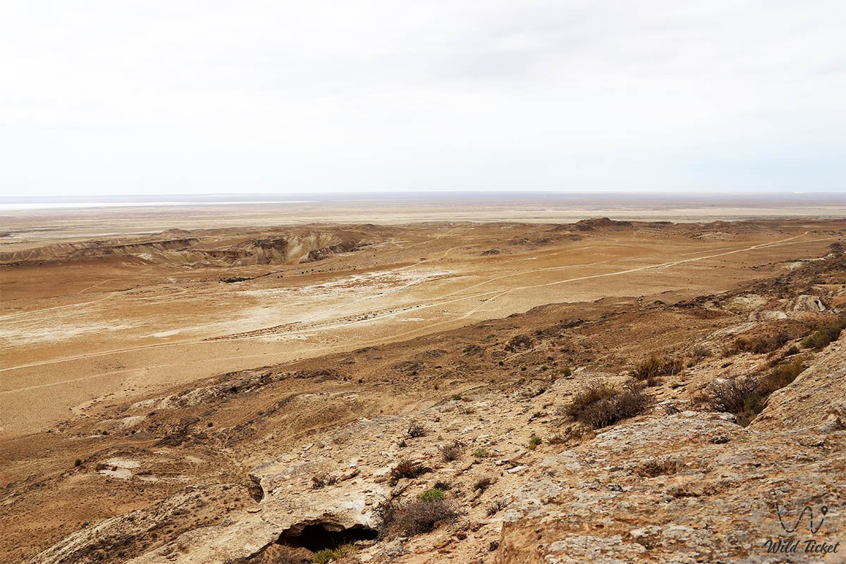
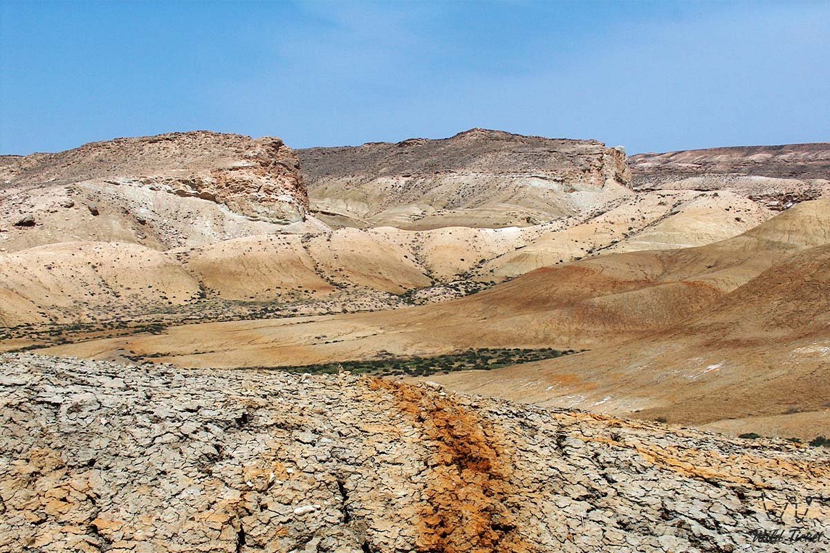
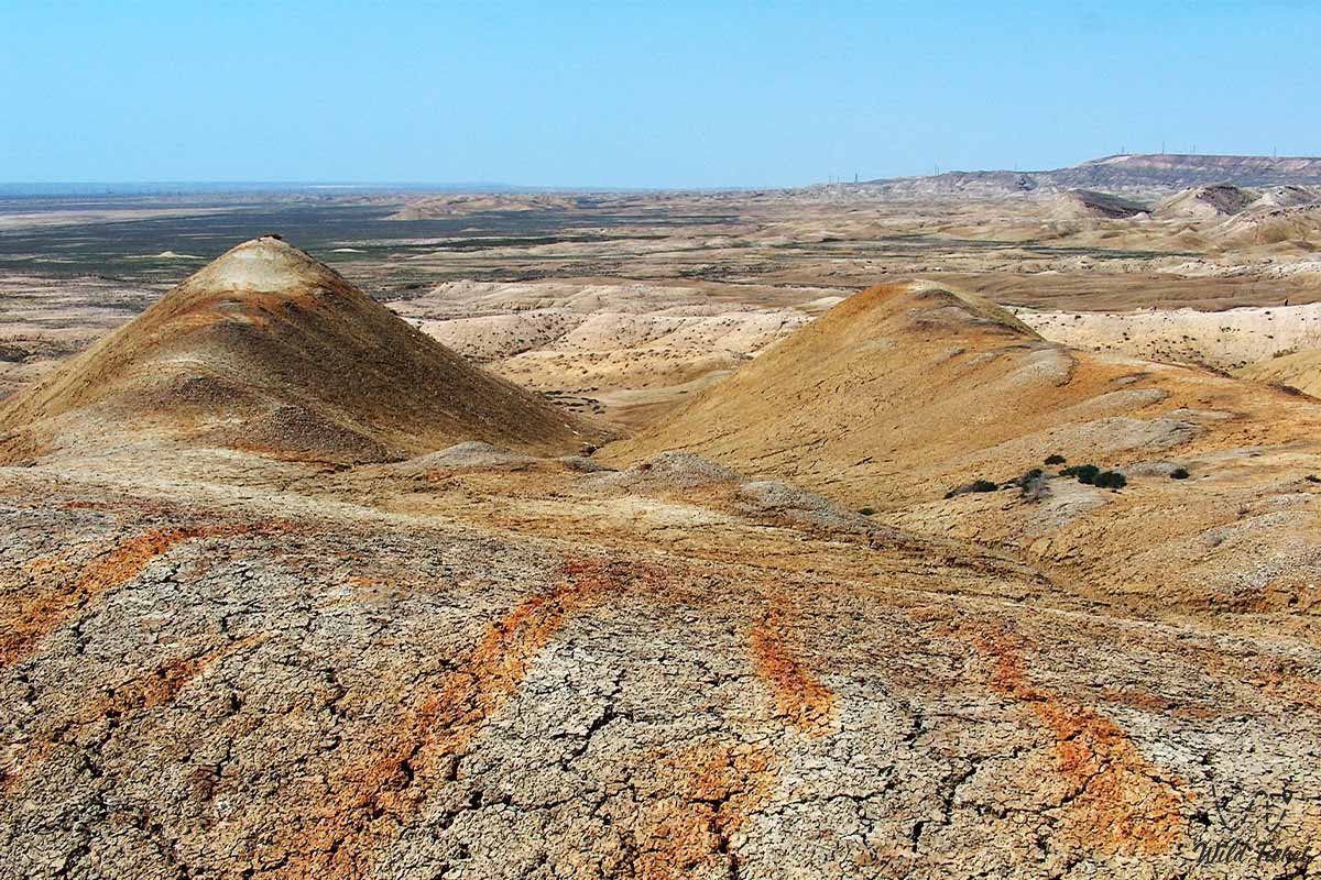
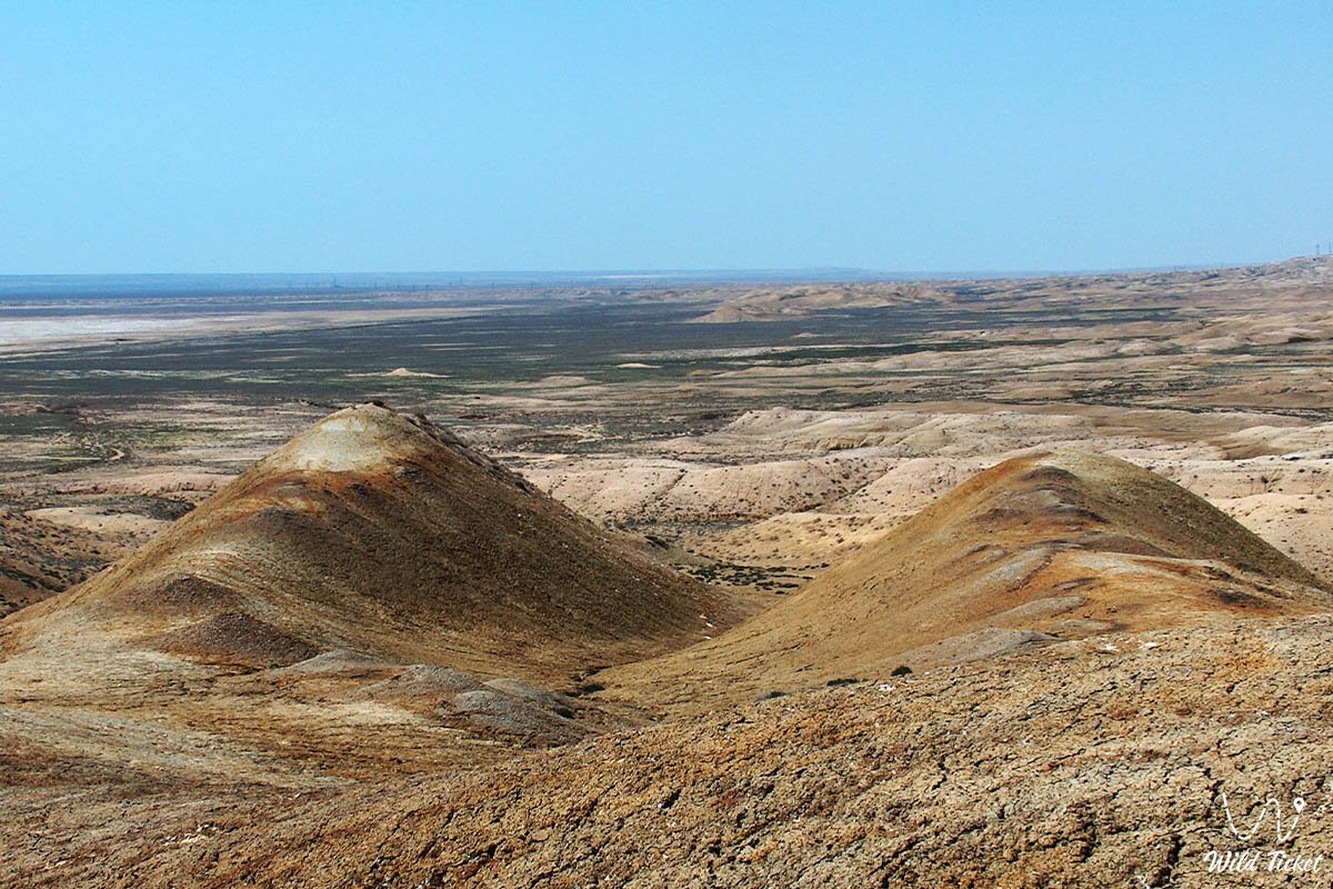
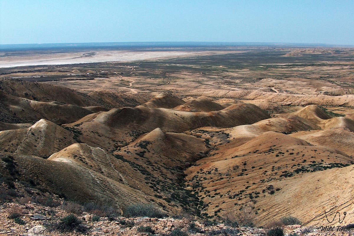
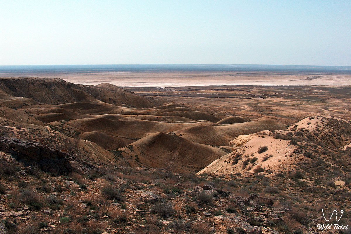
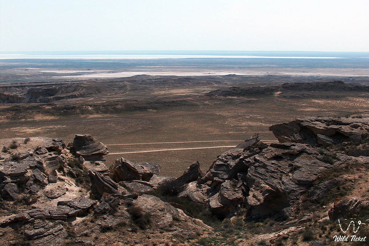
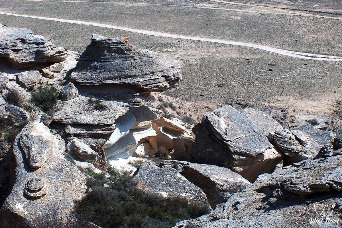
The landscape of Karagiye is striking in its austere and pristine beauty: steep clay-limestone slopes, gorges, ravines, and gullies with snow-white hills give way to salt flats and the Valley of Figures formed by whimsical remnant outlier mountains in the center. At the bottom of the depression lies the relict Lake Batyr, whose level and surface area are extremely variable (when the lake dries up, the floor is entirely blanketed with salt pans).
Due to a unique microclimate and powerful ascending thermal currents of heated air, multi-kilometer rain clouds form over the depression in summer, leading Karagiye to be unofficially nicknamed a natural "rain generator" or the "cradle of rain", although actual rain on the territory of the depression is a very rare occurrence.
The geological origin of the depression is directly tied to karst processes, the leaching of salt-bearing rocks (limestones, dolomites, gypsums), and subsidence phenomena caused by groundwater. For centuries, seeping moisture dissolved rock strata, creating deep chasms, caves, and cavities that continuously collapsed downward under their own weight. Located 18 kilometers from the depression is another hollow, the Ashchysor Depression.
The territory of the depression is part of the protected Karagiye-Karakol State Nature Sanctuary (area of 180,000 ha, established in 1986), which also includes Lake Karakol – a well-known haven for greater flamingos.
Today, the Karagiye Depression attracts researchers, extreme overland enthusiasts, and landscape photographers with its cosmic scale, geological uniqueness, and an aura of paranormal legends.
--------------------------------------------
How to get there and visit –
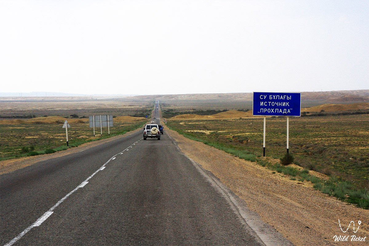
The Karagiye Depression is situated 50 kilometers from the city of Aktau in the Mangystau region, making it one of the most accessible natural attractions of the region. The drive takes just over an hour.
The route from Aktau proceeds by bus, taxi, or private vehicle through Mangyshlak settlement toward Zhetybay and the city of Zhanaozen: take the first exit at the roundabout after Mangyshlak, and after 29 kilometers you will find the required turnoff.
GPS geographical coordinates: 43°23'11"N 51°48'53"E
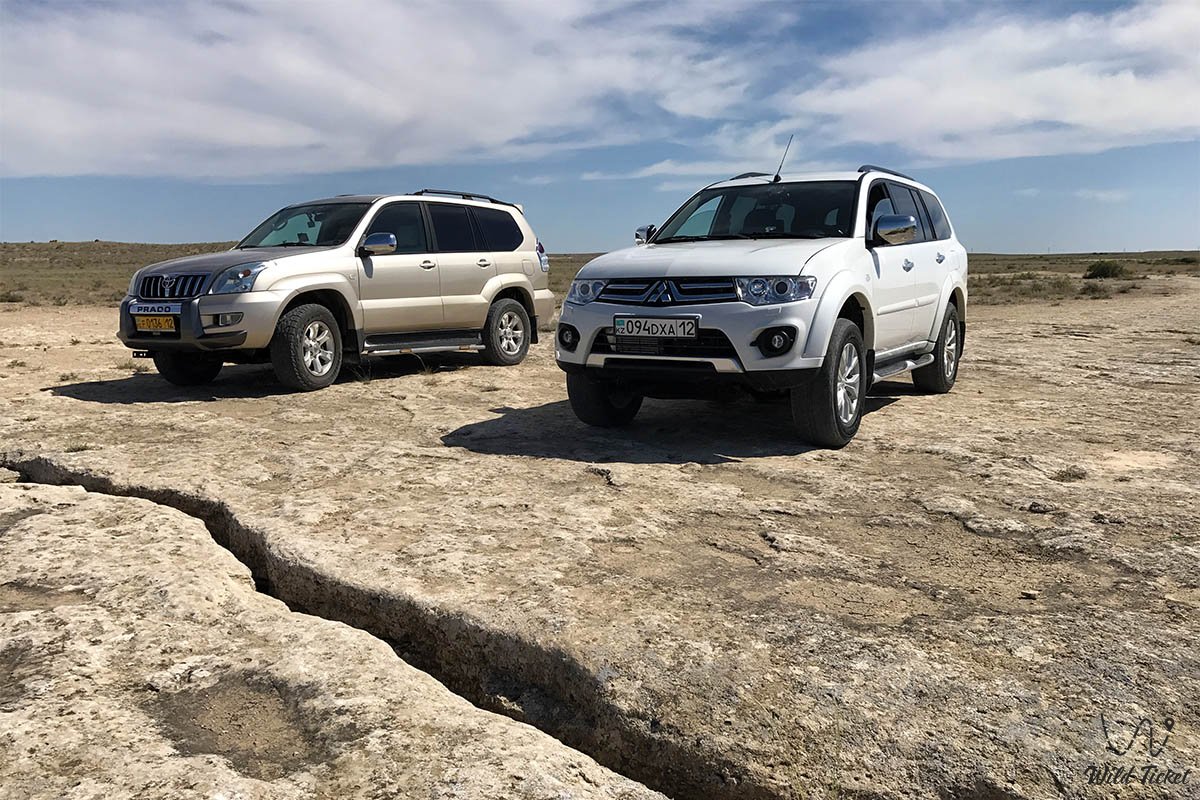
For an extreme descent to the bottom of the depression along steep rocky serpentines and driving across its salt-marsh floor, a four-wheel-drive off-road vehicle (4x4) with high ground clearance is strictly necessary. Descending alone is extremely perilous due to the steepness of the slopes, the danger of falling into concealed crevices, and the risk of bogging down in salt pans; therefore, it is strongly recommended to venture out with an experienced guide.
Infrastructure across the territory of the depression is absent. When heading to its base, it is essential to carry a supply of drinking water, head coverings, and dependable footwear.
The best time to visit is spring (April – May) and autumn (September – October). In summer, air temperatures at the bottom of the depression climb to extreme levels.
--------------------------------------------
History
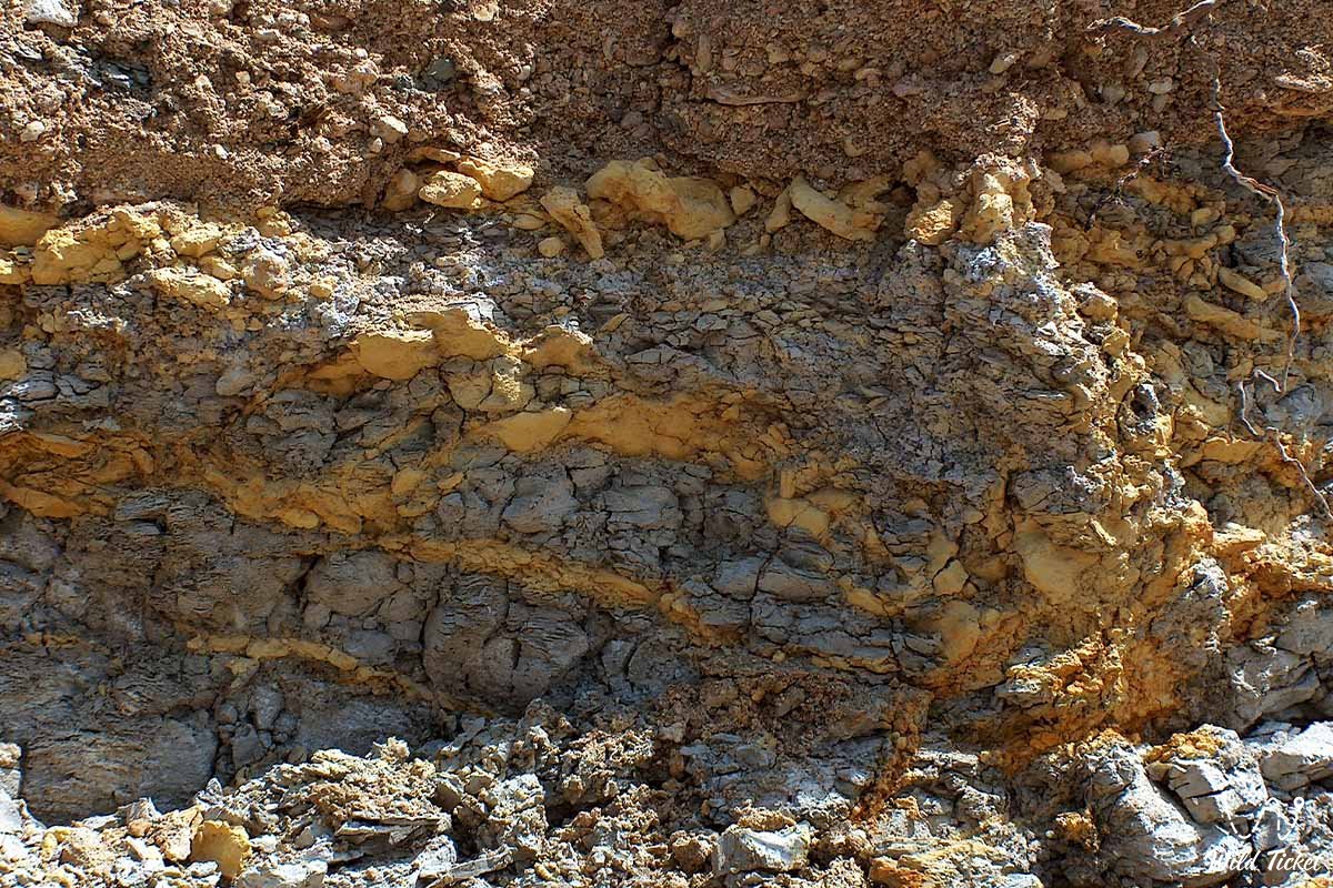
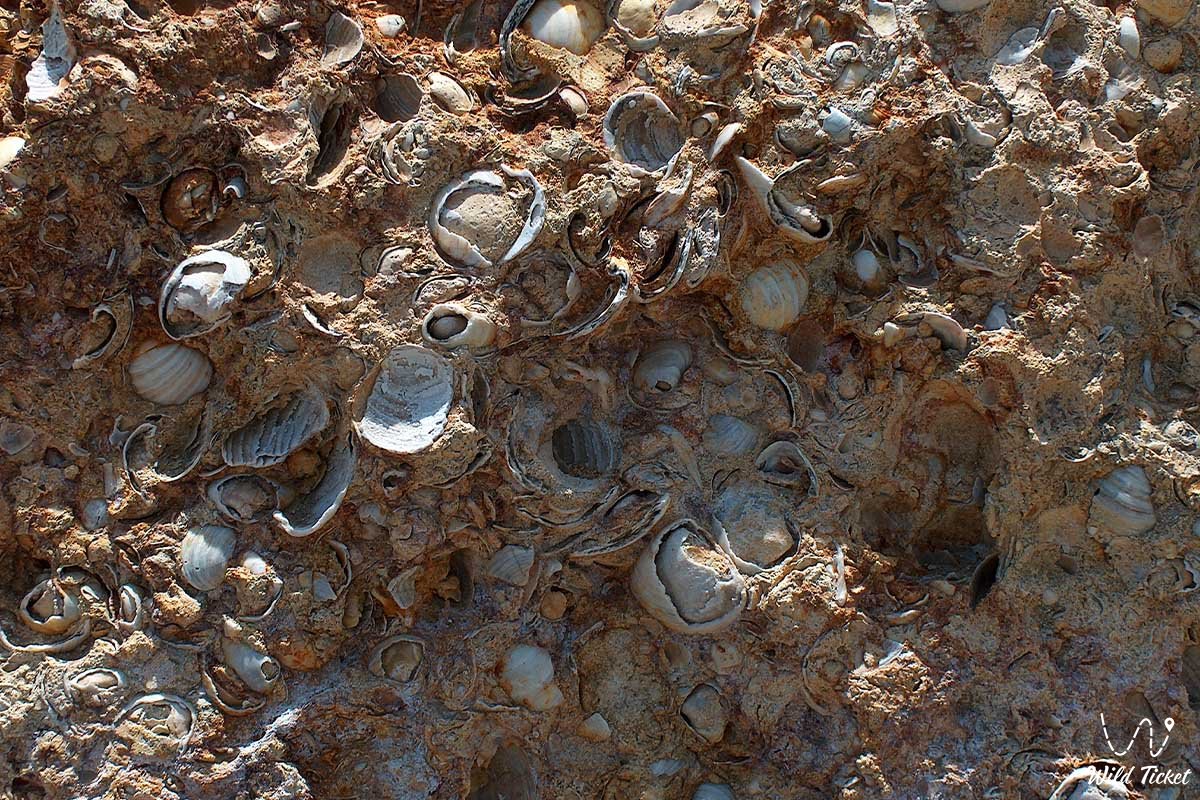
The geological chronicle of the Karagiye Depression is rooted in the distant past when this territory lay at the bottom of the ancient Tethys Ocean. Over millions of years, the gradual dissolution of limestones, dolomites, and gypsums by groundwater took place, giving rise to subterranean voids, grottos, and caves that collapsed beneath the weight of overlying layers. This continuous relief-forming process proceeds even today.
In historical times, branches of the Great Silk Road traversed the surroundings of the depression, leaving traces of ancient camps, necropolises, and numerous legends. During the Soviet period (in the 1930s), a large-scale project was seriously contemplated in the USSR to flood the bottom of the depression with Caspian water to generate hydroelectric power via the elevation difference, analogous to Garabogazköl; however, the project remained unrealized.
In the 21st century, integrated land development concepts were also discussed (including creating the "Inzhu-Marzhan" recreational zone, a deep-water port, and a 70-meter waterfall), which nonetheless triggered major debates among ecologists due to environmental risks to the nature reserve and the water levels of the Caspian.
Information
Geomorphologically, the Karagiye Depression represents a deep, enclosed, endorheic basin of elliptical shape with scalloped margins, elongated from northwest to southeast for 85 kilometers with a width of up to 25 kilometers. The absolute elevation of its lowest point is -132 meters below world sea level.
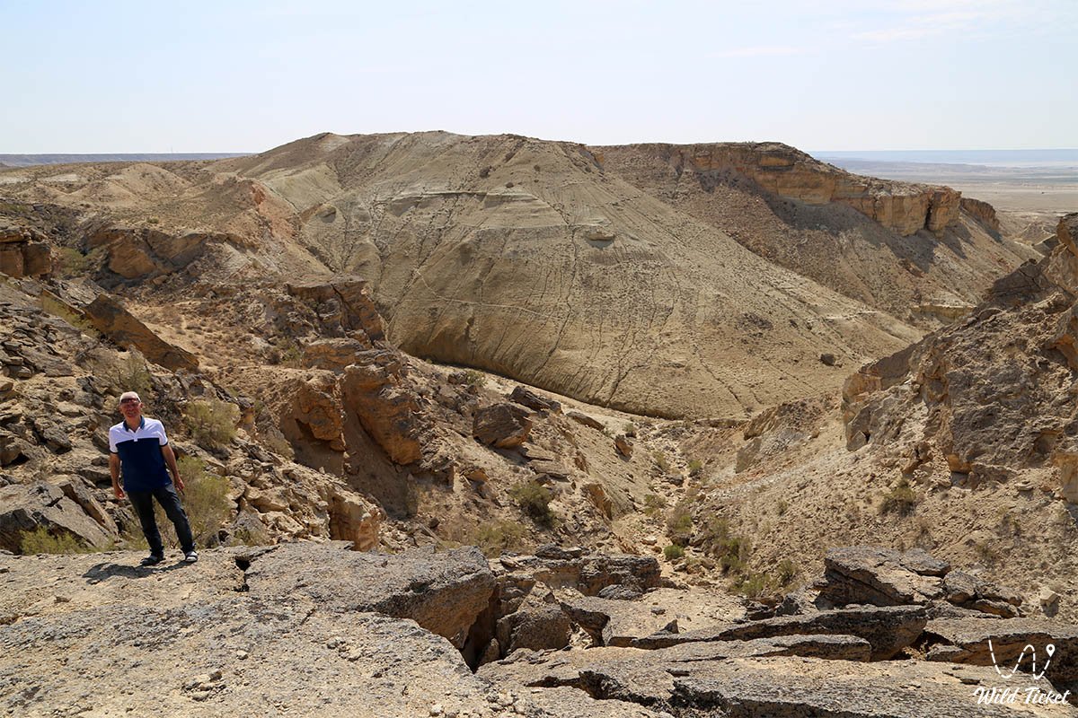
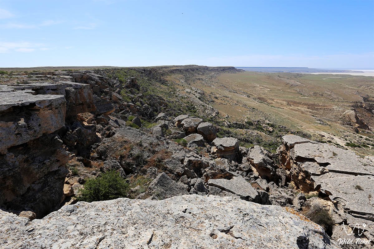
The slopes of the depression are steep and precipitous, dissected by broad and deep erosional says, gorges, ravines, and gullies. From the east, the depression is bounded by the Ustyurt chink and the Karasengirek tract; from the west runs the Aktau – Beyneu railway; and in the southwest it borders the Ashchysor salt flat. The climate inside the basin is sharply continental, severe, and ultra-arid, despite the depression's capacity to generate rain clouds.
Detailed description of the venue
The natural complex of the Karagiye Depression includes several key zones:
• Northern chink and observation deck – a precipitous scarp along the highway offering a classic panoramic vista into the abyss.
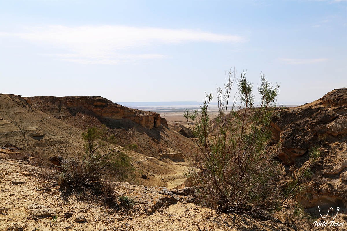
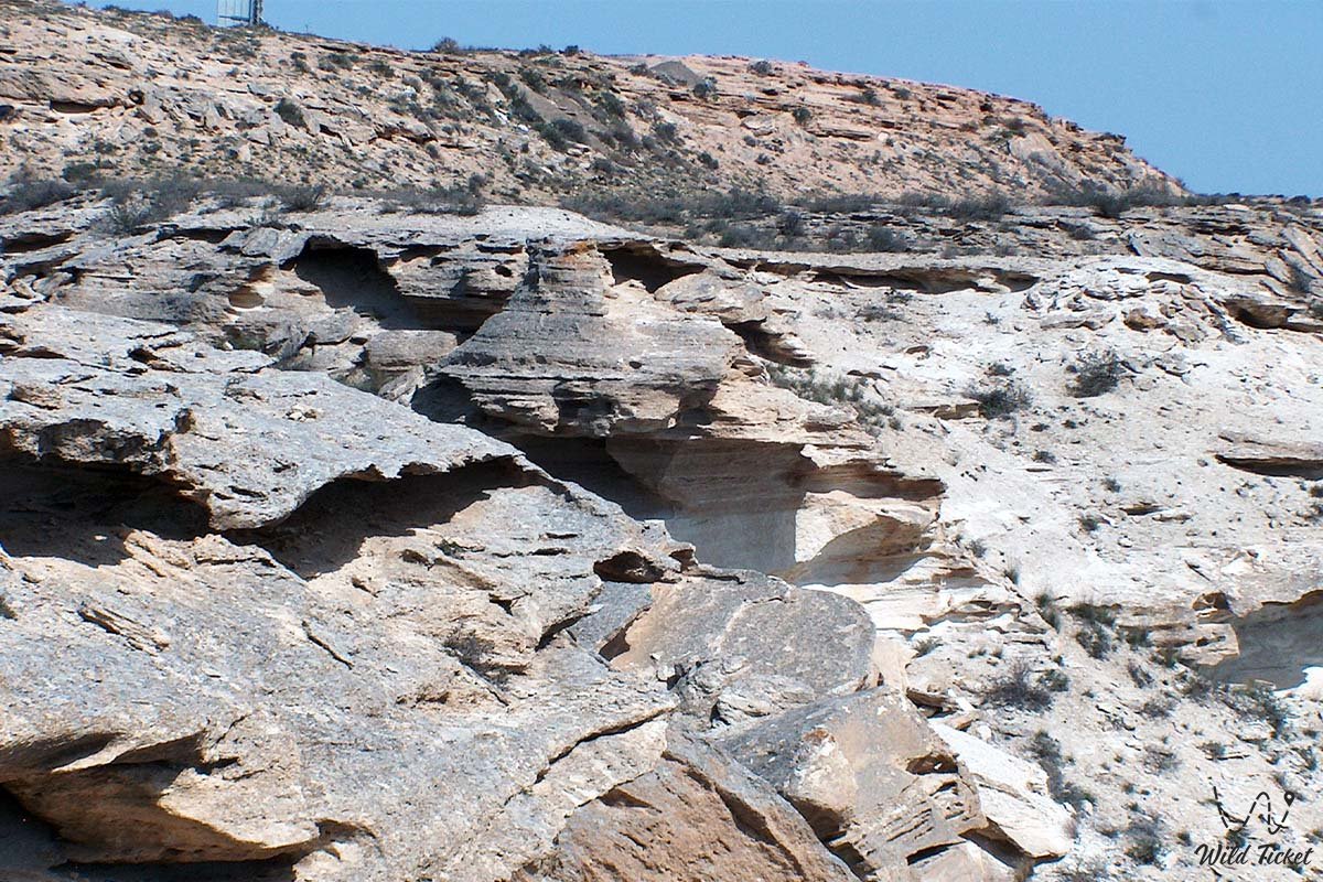
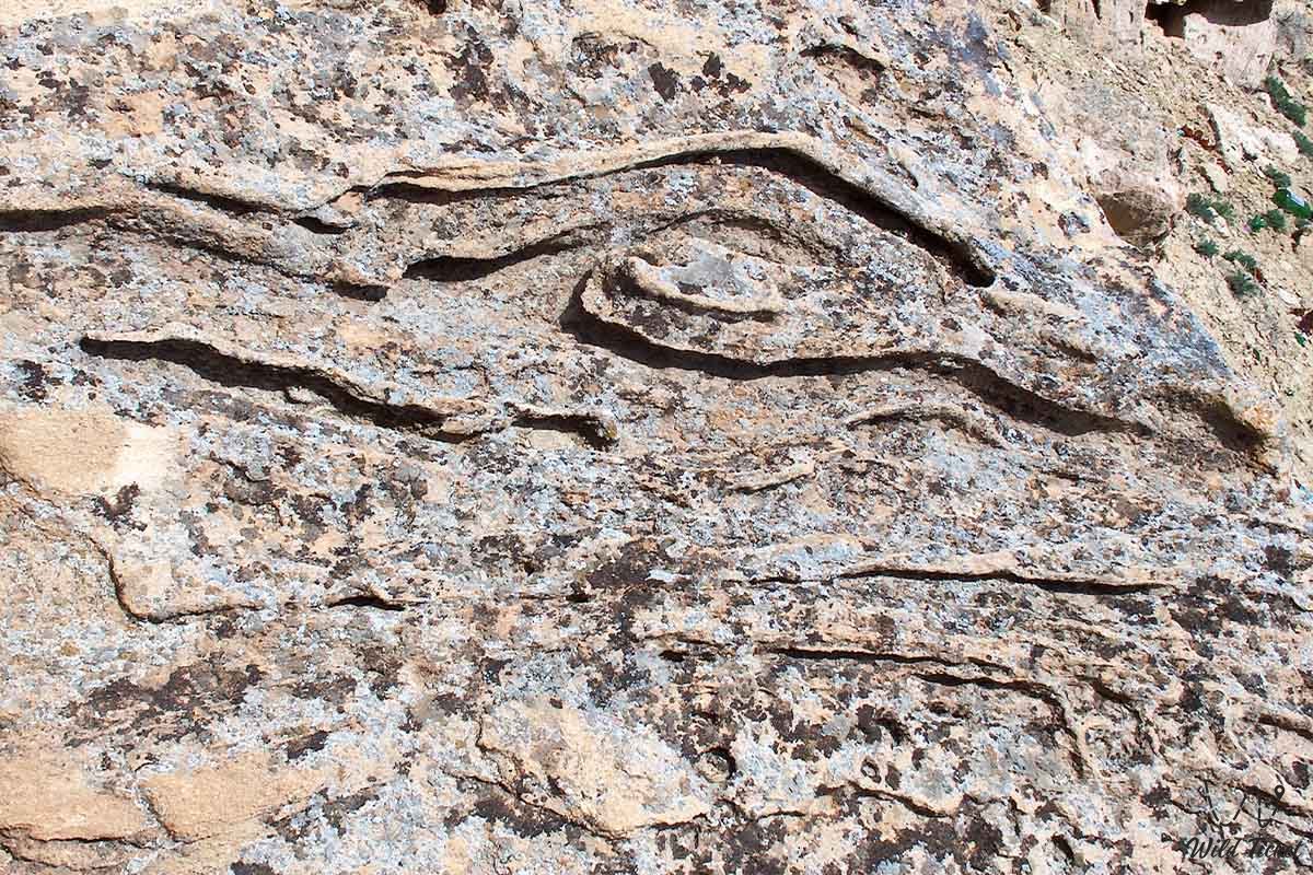
• Steep slopes and gorges – deep ravines, gullies, and erosional says with exposed strata of ancient rocks.
• Salt-marsh floor (sor) – a flat plain with a cracked salt crust and the relict drying Lake Batyr.
• Valley of Figures – a cluster of whimsical remnant mountains and white hills in the center of the depression.
• Karagiye-Karakol Reserve – a protected natural area with a total surface of 180,000 hectares.
Flora and fauna
Despite its apparent severity and aridity, the biodiversity of the Karagiye-Karakol Reserve is remarkably rich. Wild felids – caracals and Pallas's cats (manuls), corsac foxes, curved-horned Ustyurt mouflons, and hares inhabit the rocks and cliffs. Monitor lizards, scorpions, scolopendras, and whipsnakes live in the gorges and depressions.
An interesting fact: this is the only location on the Mangyshlak Peninsula where local residents forage for wild mushrooms. In the sky hunt hawks, Egyptian vultures, and steppe eagles, while two-toned larks and redstarts live in the desert sections.
Legend
The Karagiye Depression is cloaked in numerous legends and holds a reputation as one of the most paranormal locations in Kazakhstan. In the spring of 1979, a red orb flying at high speed was observed here, and since that time travelers have regularly reported strange luminous objects in the sky.
Furthermore, in some people the depression induces unprompted dread, whereas others experience a powerful surge of vigor. According to lore, the Great Silk Road ran here in antiquity, and numerous hidden caches and ancient necropolises remain concealed throughout the vicinity.
Conclusion
The Karagiye Depression is a grandiose natural monument that unites the tectonic power of the planet, unique karst landscapes, and the austere beauty of Mangystau. Its hundred-meter depth and scale impress every traveler, unveiling the secrets of ancient seas and the primeval nature of Western Kazakhstan.
Interesting sights nearby:
• Bozzhira Tract;
• Fangs of Bozzhira;
• Kyzylkup Tract (Tiramisu);
• Mount Bokty;
• Ustyurt Reserve;
• Zhygylgan Sinkhole;
• Traces of Ancient Animals in the Zhygylgan Tract;
• Utebay Cave;
• Balayuk Cave;
• Shatkal Canyon;
• Mount Shokytau;
• Mount Ushkirtaw;
• Ustyurt Reserve.
Photogallery: