Travel on the Ustyurt plateau (Mangystau) -
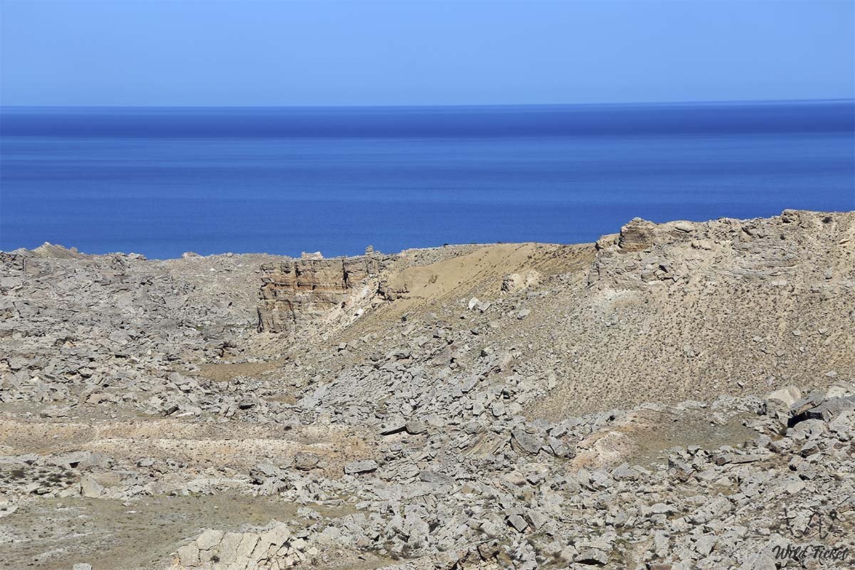
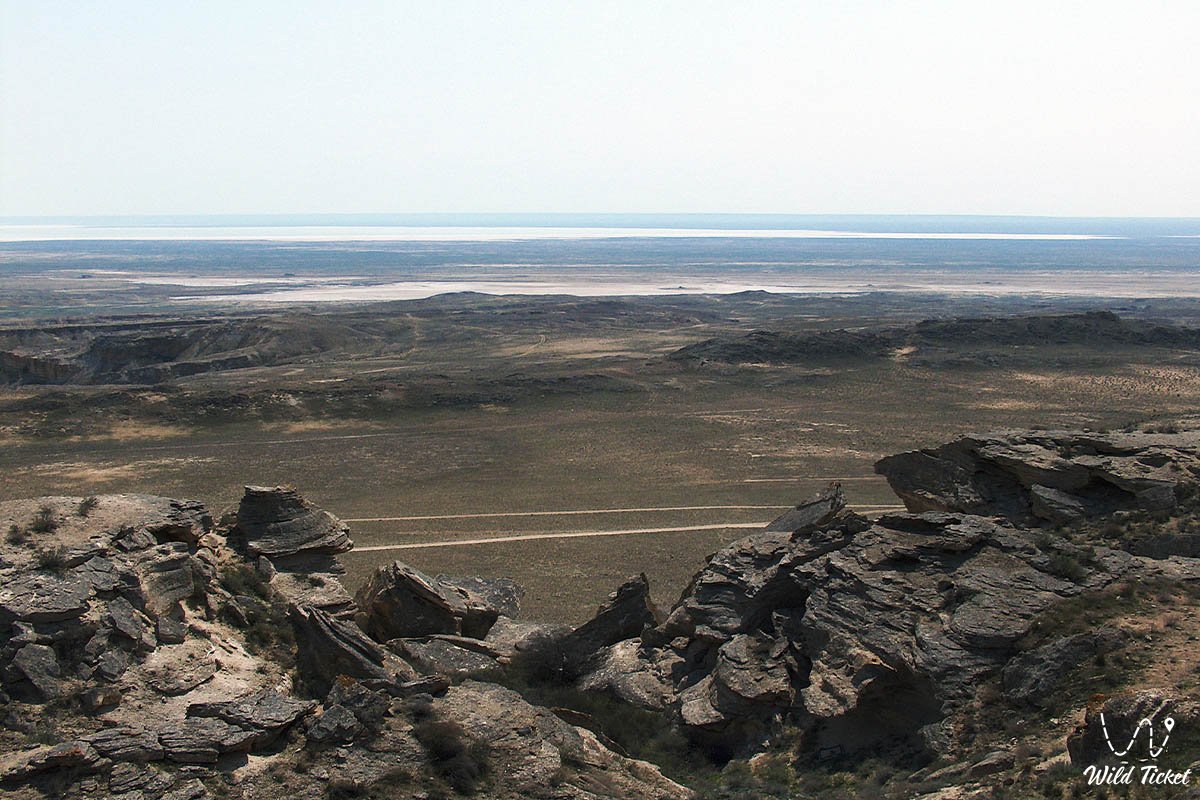
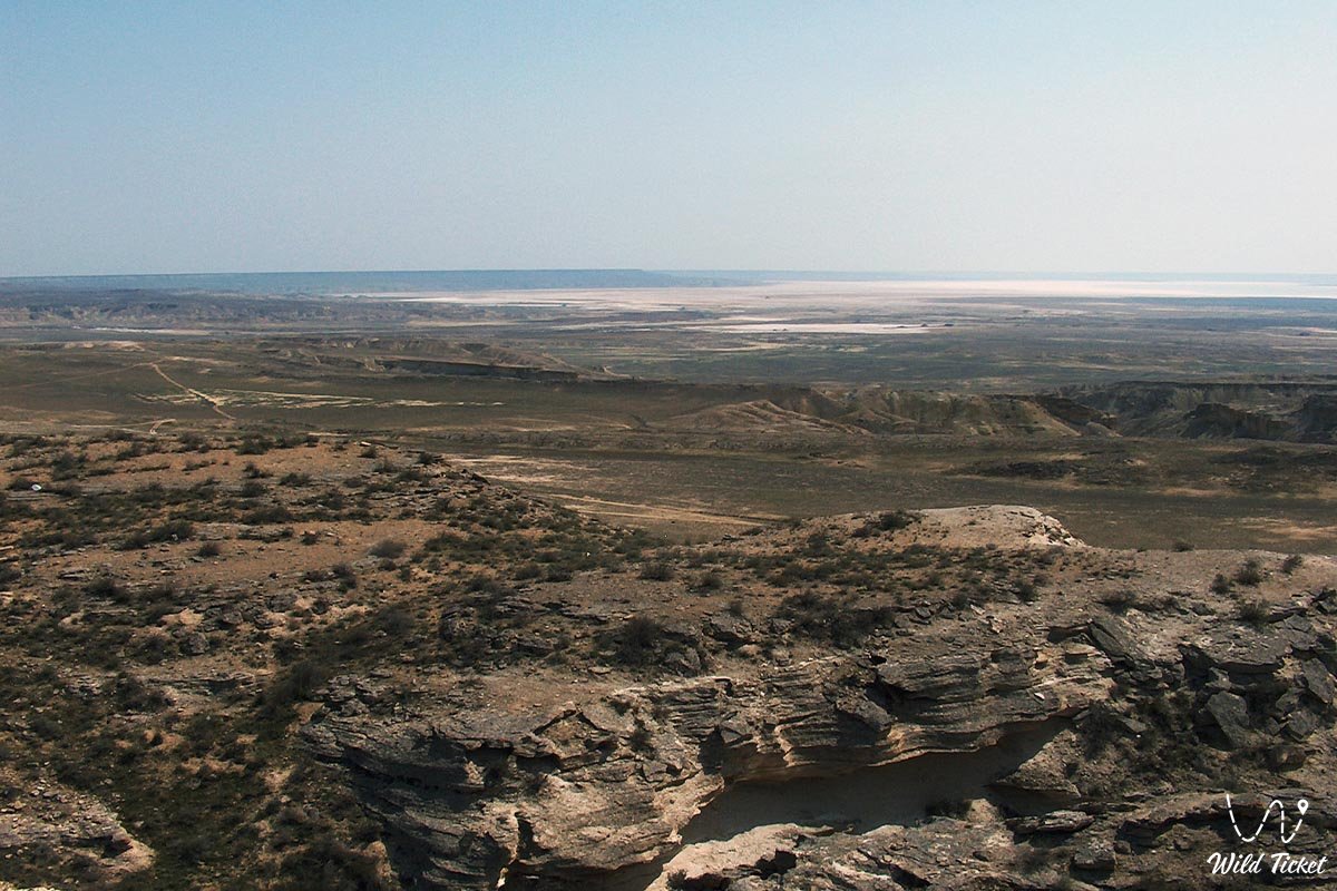
Ustyurt is a hilly region and plateau between the Mangistau Peninsula and the Karabugazkol Bay in the west and the Aral Sea and the Amu Darya delta in the east.
Description
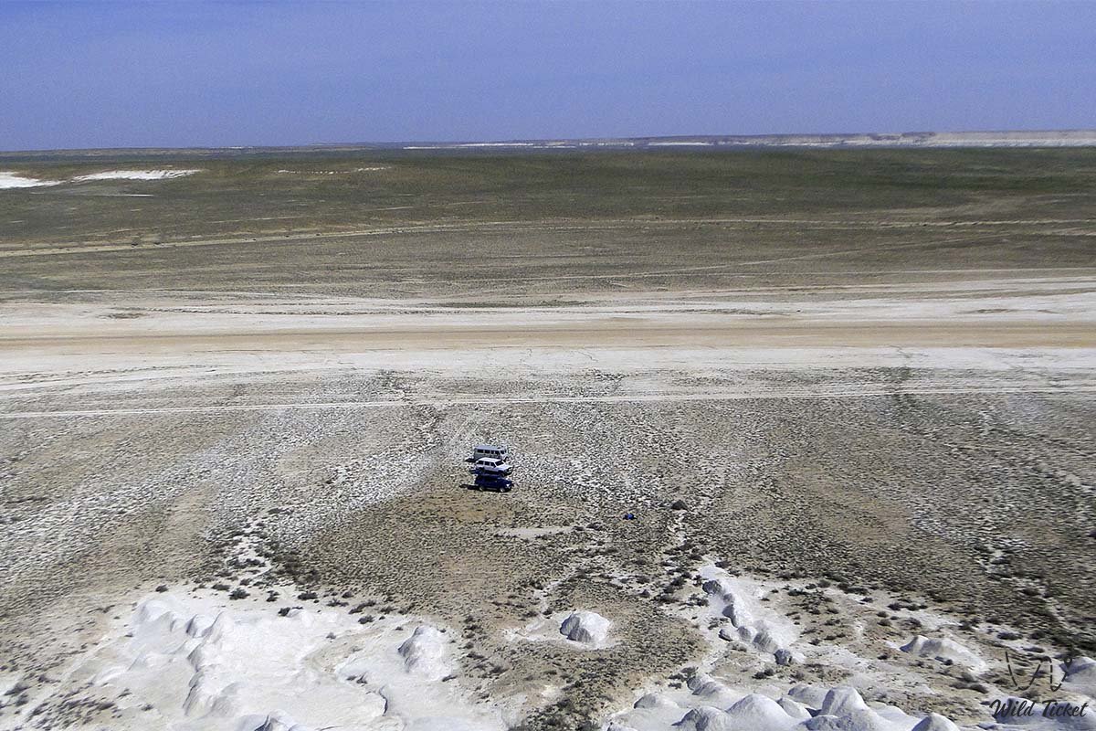
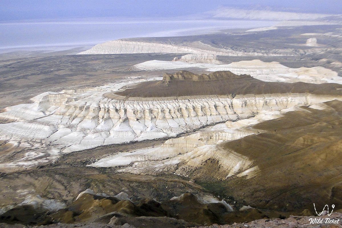
The length of the Ustyurt plateau from the south-west to the north-east is 550-600 km, the width is 300-400 km. Area 200 thousand km. The average height of the plateau is 150-200 m, the highest point in the southwest is 341 m (Muzbel ridge). Located in the Turan Depression. The northern part of the plateau and the western part are included in the territory of Kazakhstan (Mangistau region), the rest belongs to Uzbekistan.
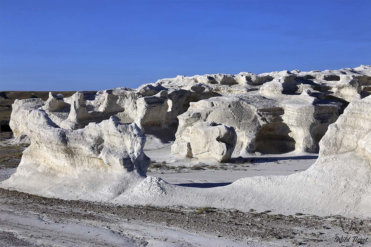
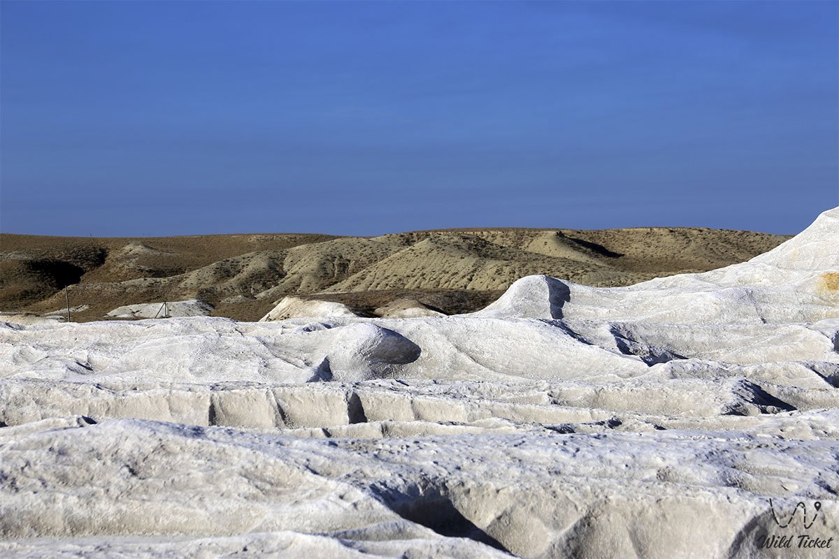
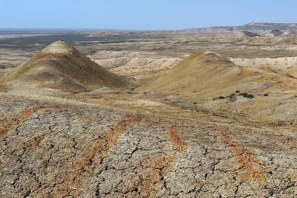
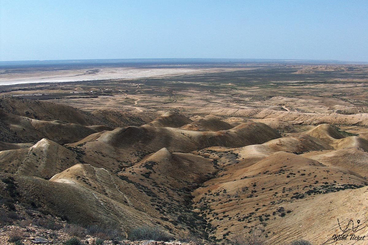
On the Ustyurt plain there are low ridges and depressions separating them from each other. In the central part of the plateau there is the Karabauyr ridge. There are many depressions in the lowest regions, for example, in the northern part of the Karatuley, Zhaunkuduk, Asmantai-Matai, Kosbulaks, in the southern part of the Asseke-Audan depression. In the center, in the east, in the south, there are caves 5-25 m long, 1-2 m deep (such as the Balauik Cave).
Climate
Due to the fact that the plateau is located in a desert zone, the summer is hot, the winter is cold, the air is dry, little precipitation (150 mm), strong winds and prolonged gusts, Snow height is about 10 cm. In winter there are blizzards.
Hydrography
There are no rivers or freshwater lakes in Ustyurt, but there are large reserves of groundwater suitable for drinking and irrigation (Ustyurt artesian basin).
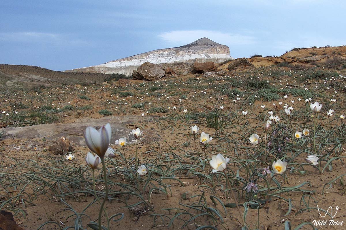
Fauna and flora
Wormwood and willow grow on gray, pale brown soils. Grasses rarely grow, in the depressions there are groves of wormwood and black saxaul. Sedge grass is found in the sandy area. From the fauna you can find here, mouse, rabbit, antelope, gazelle, wolf, fox.
Minerals
Large reserves of oil and gas were discovered on the Ustyurt plateau (Ustyurt oil and gas basin).
Geology
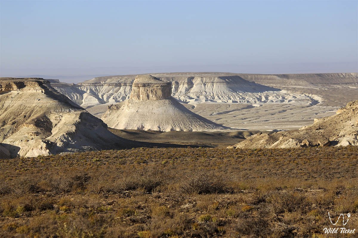
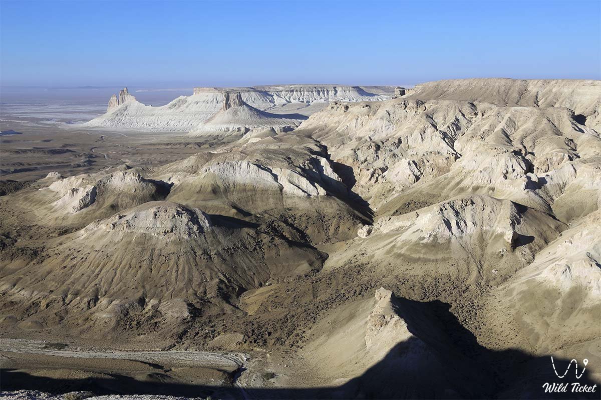
The plateau is bounded by the Aral Sea, the Caspian Basin and steep slopes. Its upper layer is a layer of limestone several tens of meters thick, which acts as a shield against the destruction of rocks. The surface of the plateau is relatively smooth and flat. The absolute height increases from 22 meters (northern ridge) to 314 meters (upper part).
A karst cave 120 meters deep and 190 meters long was discovered in the village of Utebay. There are low mountains Aktau and Karatau on the plateau. One of the distinguishing features of the Mangistau region from other plateaus is the presence of two large tectonic depressions. The formation of the modern relief of Mangistau began in the Late Pliocene. As a result of the rise of the Turan plate under the influence of neotectonic movements, Mangystau turned into a stable plain. The formation of the modern relief of the mountainous part took place under the influence of individual processes in the Late Pliocene, before the formation of the Mangistau plateau.
Photogallery: