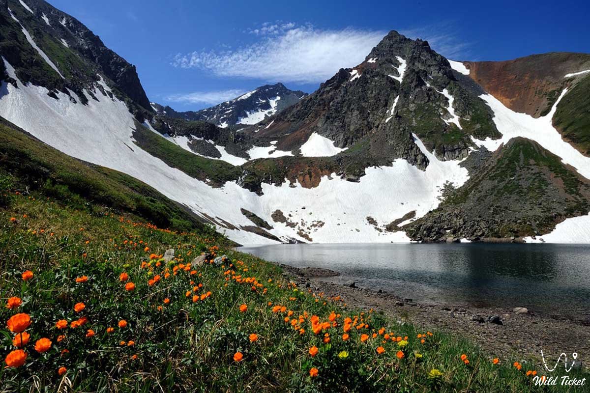
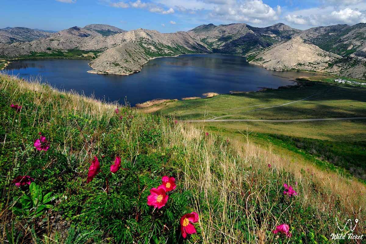
Journey through the Zaysan Basin -
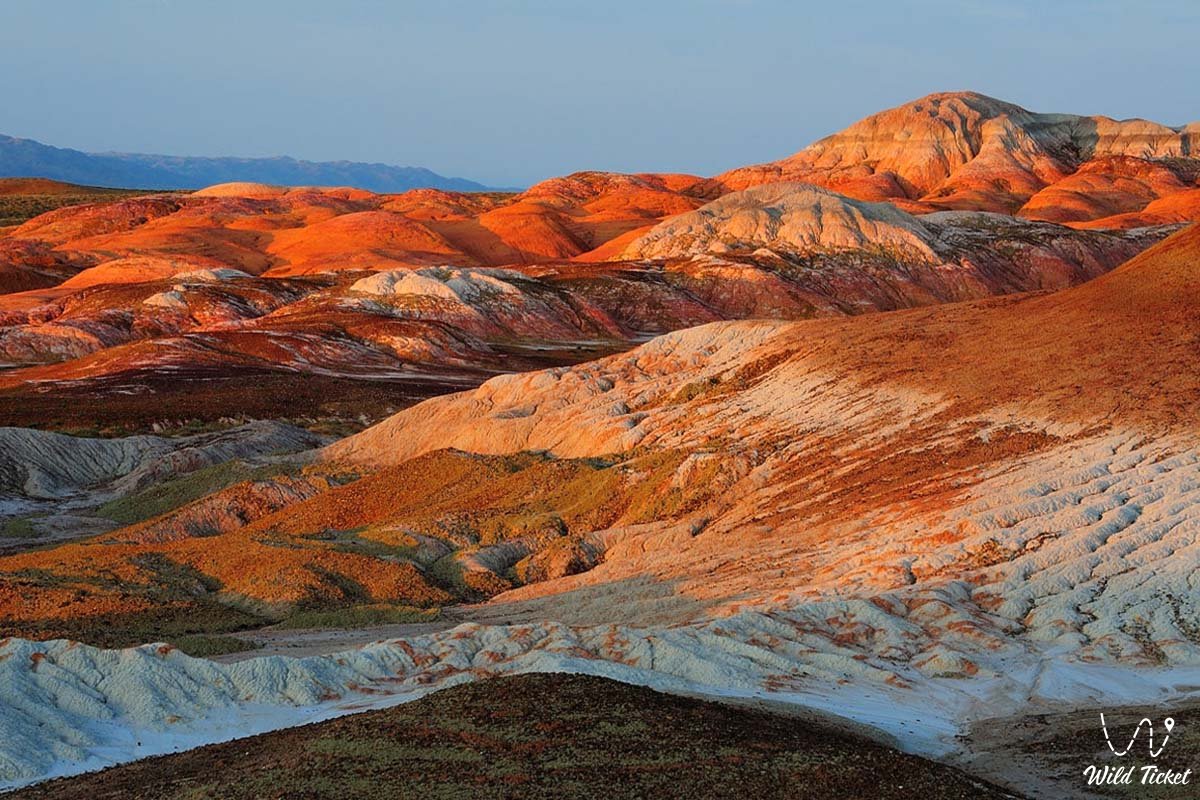
The Zaysan Depression is a basin in eastern Kazakhstan. It consists of a Paleozoic layered basement and runs along the axial part of the trench at a depth of 1,600-1,700 meters. The basin is covered with continental deposits of the Cretaceous, Paleogene, Neogene, and Quaternary periods.
How to get there and visit -
The Zaysan Depression is located between the Altai Mountains and the Tarbagatai-Sauyr Mountains, in the East Kazakhstan Region, at an altitude of 395-1,000 meters above sea level. Its total length is 250 km, and its area is up to 140 square kilometers. West of Kazanchunkyr, it continues to the Shar-Kokpekty Hills.
Tourist Information
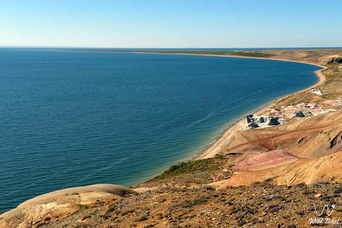
The region is dominated by desert and semi-desert landscapes. Lake Zaysan and the southern part of the Bukhtarma Dam are located in the lowest part of the depression. The climate is sharply continental. Strong winds blow through the depression from the west and southwest. The soil is brown and pinkish-brown, with sandy soils predominating in the eastern part. Irrigated agriculture and livestock farming are well developed.
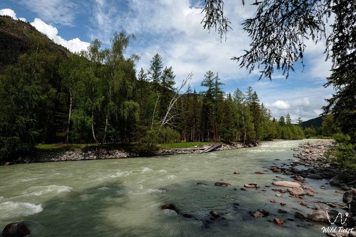
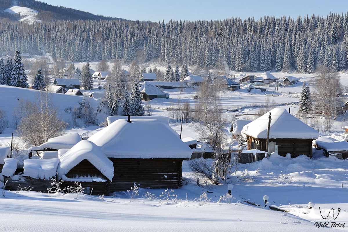
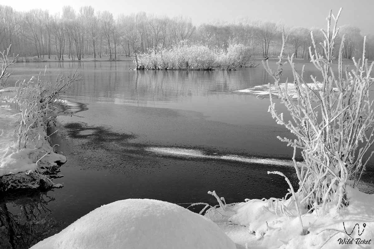
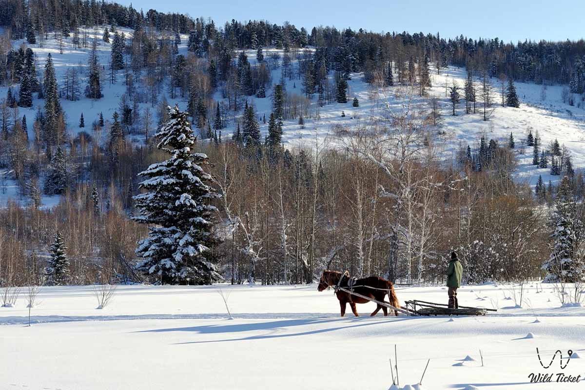
Photogallery: