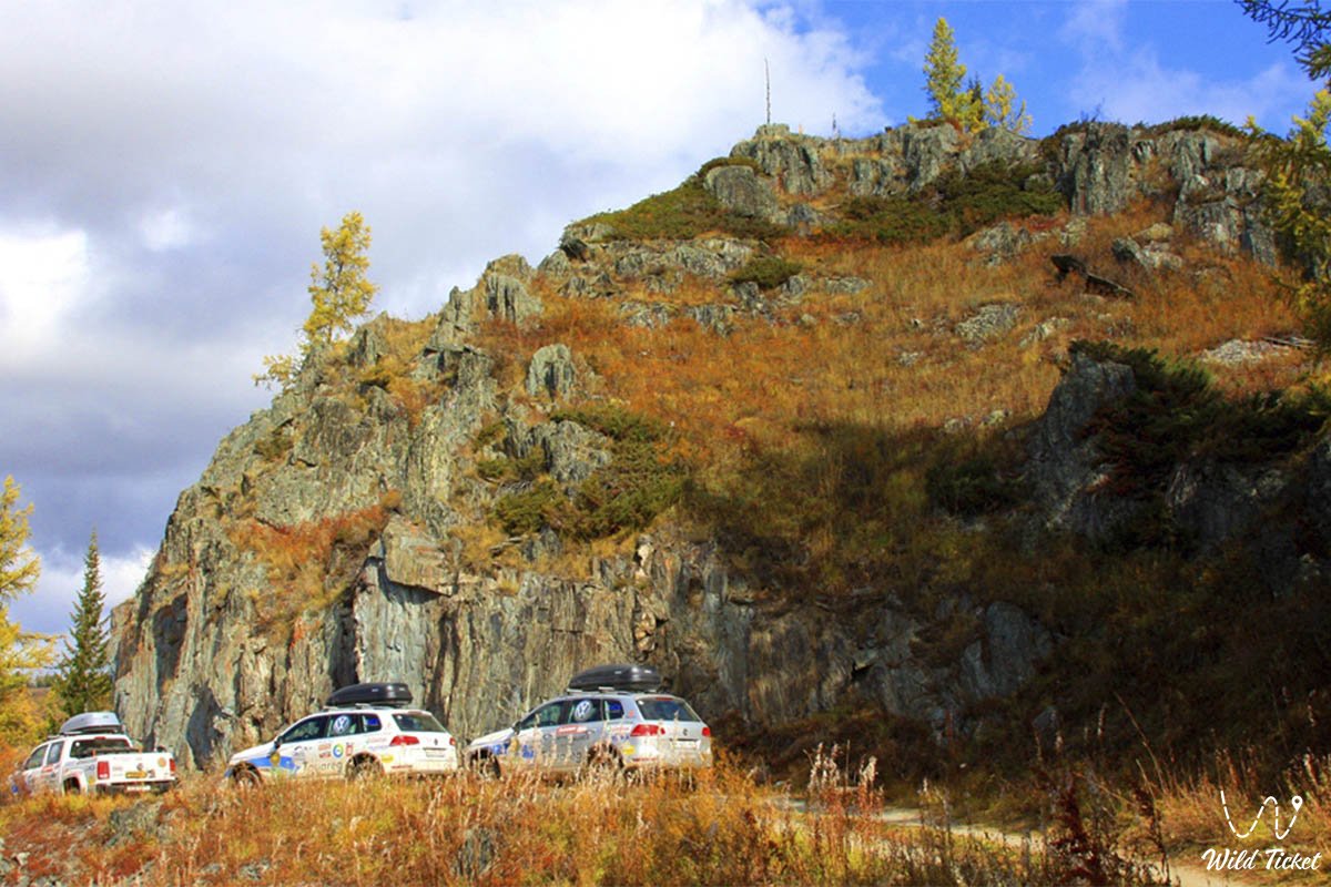
Tours and excursions in the Tarbagatai Mountains (Tarbagatai Range) -
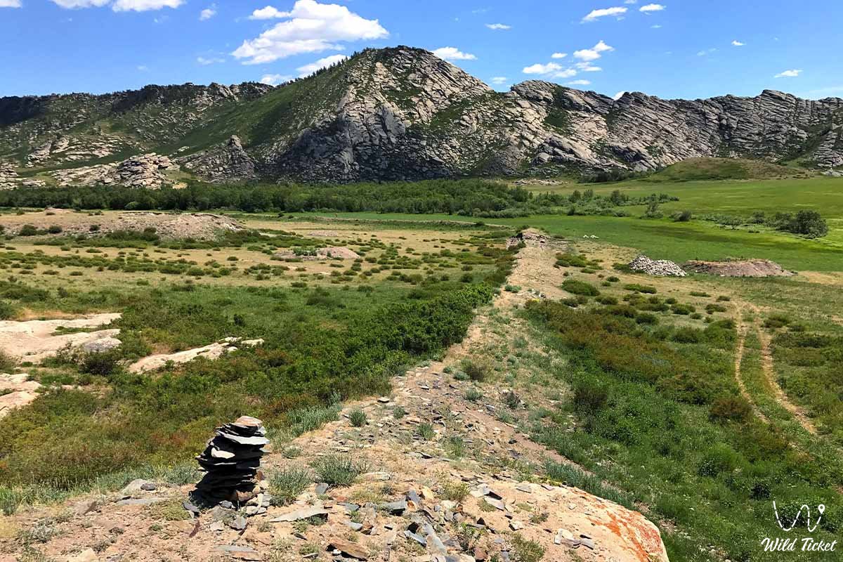
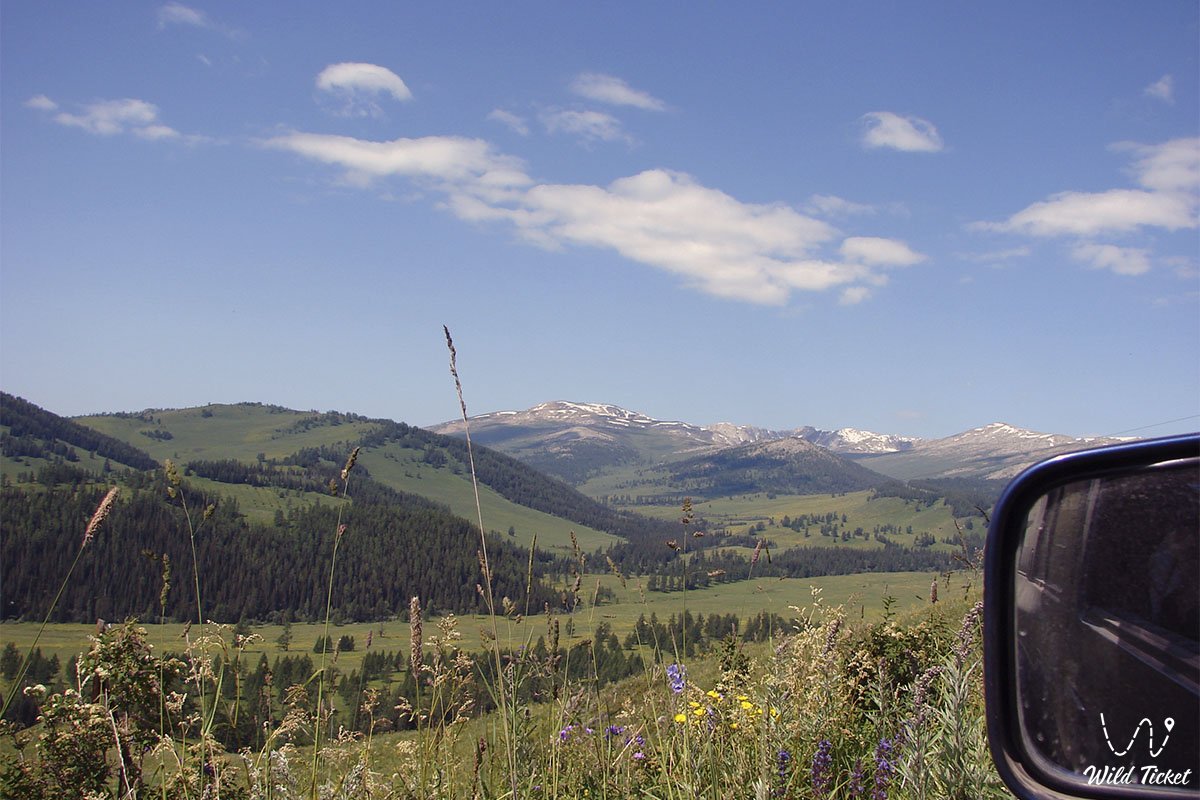
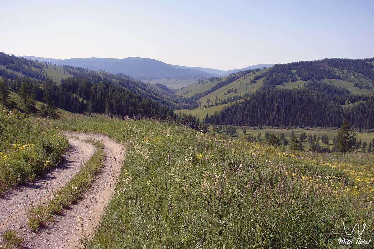
The Tarbagatai Mountain Range and the watershed between the Zaysan and Balkhash-Alakol territories. The absolute elevation is 2991 meters above sea level. The range extends 300 km from west to east in a latitudinal direction and is 30-50 km wide. In the east, it continues to the Sauyr Range.
How to get there and visit -
The Tarbagatai Range is located in the Tarbagatai District of the East Kazakhstan Region. The western end of Tarbagatai is 75 km southeast of the city of Ayagoz. From here, the range continues southeast for approximately 55 km to Mount Sandyktas, then continues east along the border of Kazakhstan and China.
Tourist Information
The Tarbagatai Mountains consist of Paleozoic sedimentary slabs, limestones, Permian coal, and Devonian sandstone. The western part is composed of highly dislocated volcanic intrusive granites of the Silurian and Cambrian periods.
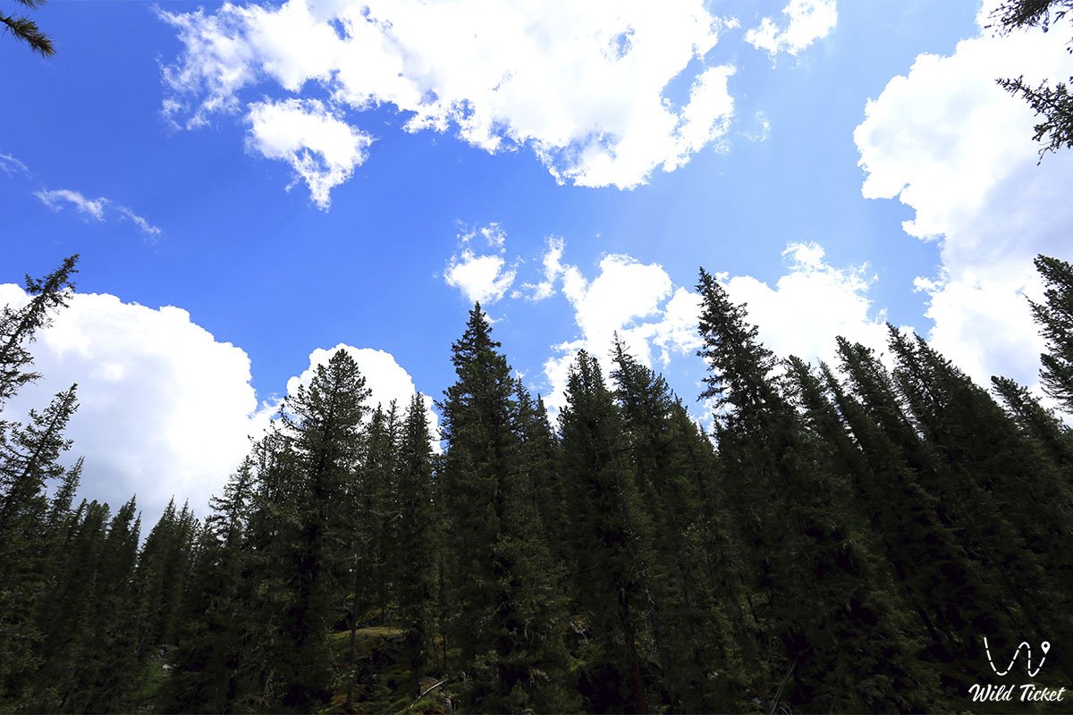
In terms of flora and fauna, the Tarbagatai Mountains are similar to the Kazakh Altai. Wormwood, shrubs, mountain meadows and poplars, wild apples, and juniper grow here. Willows predominate on the northern slopes. Deer, ibex, argali, bears, foxes, badgers, corsac foxes, and marmots inhabit the area.
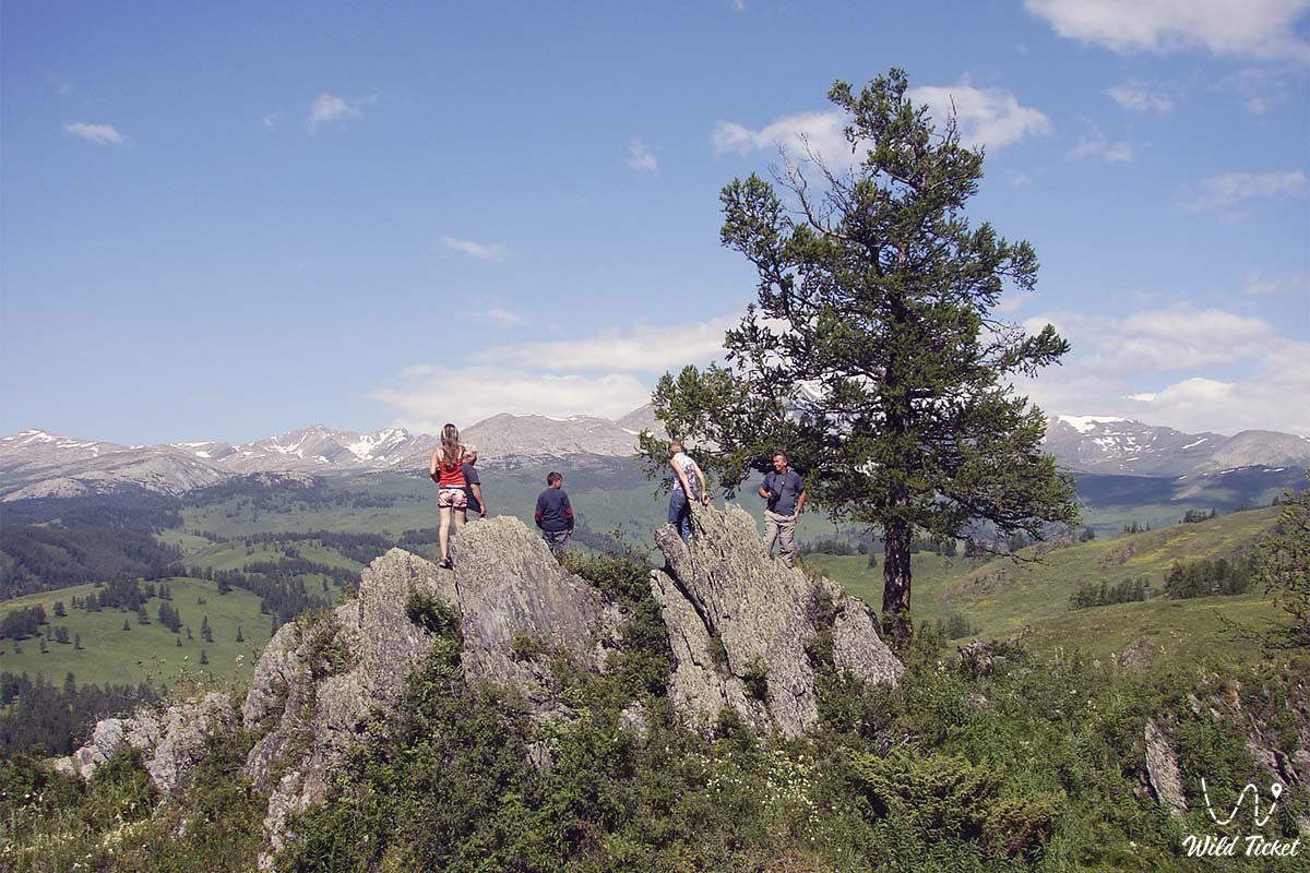
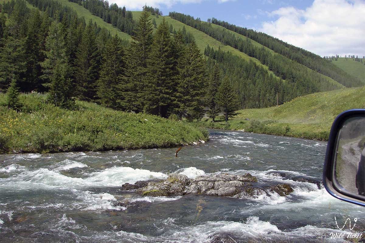
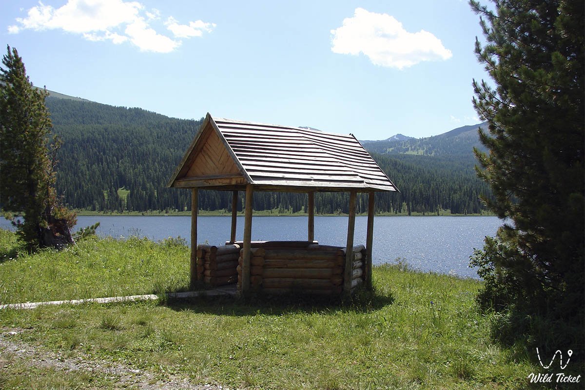
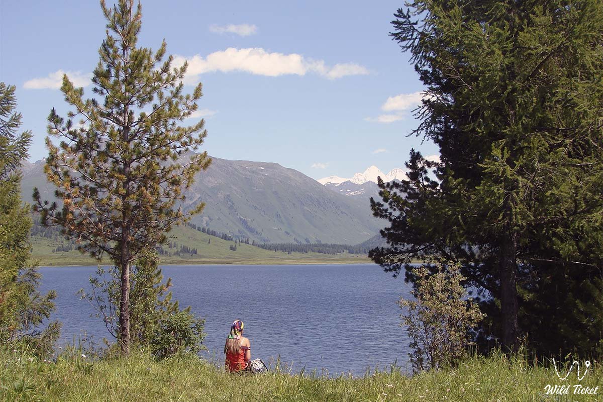
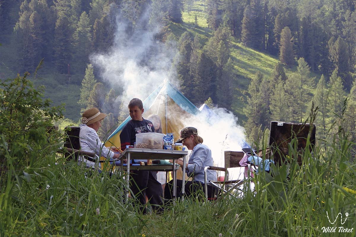
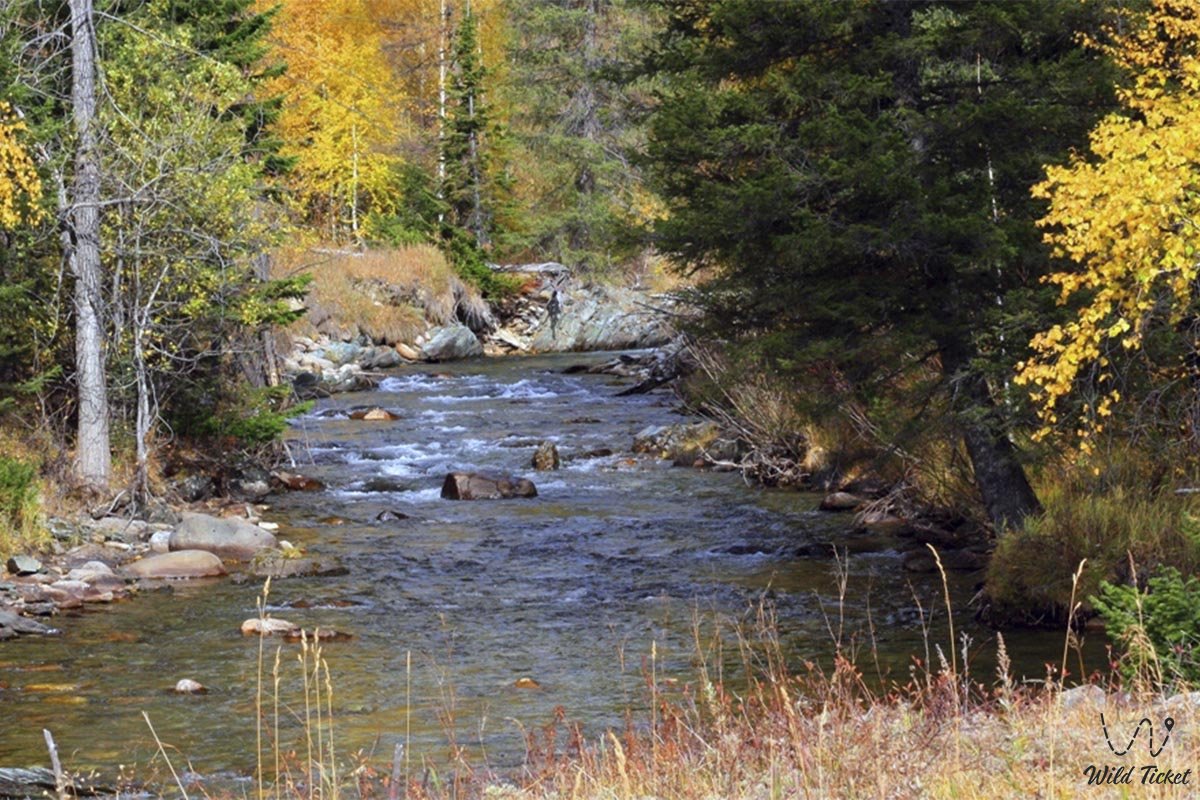
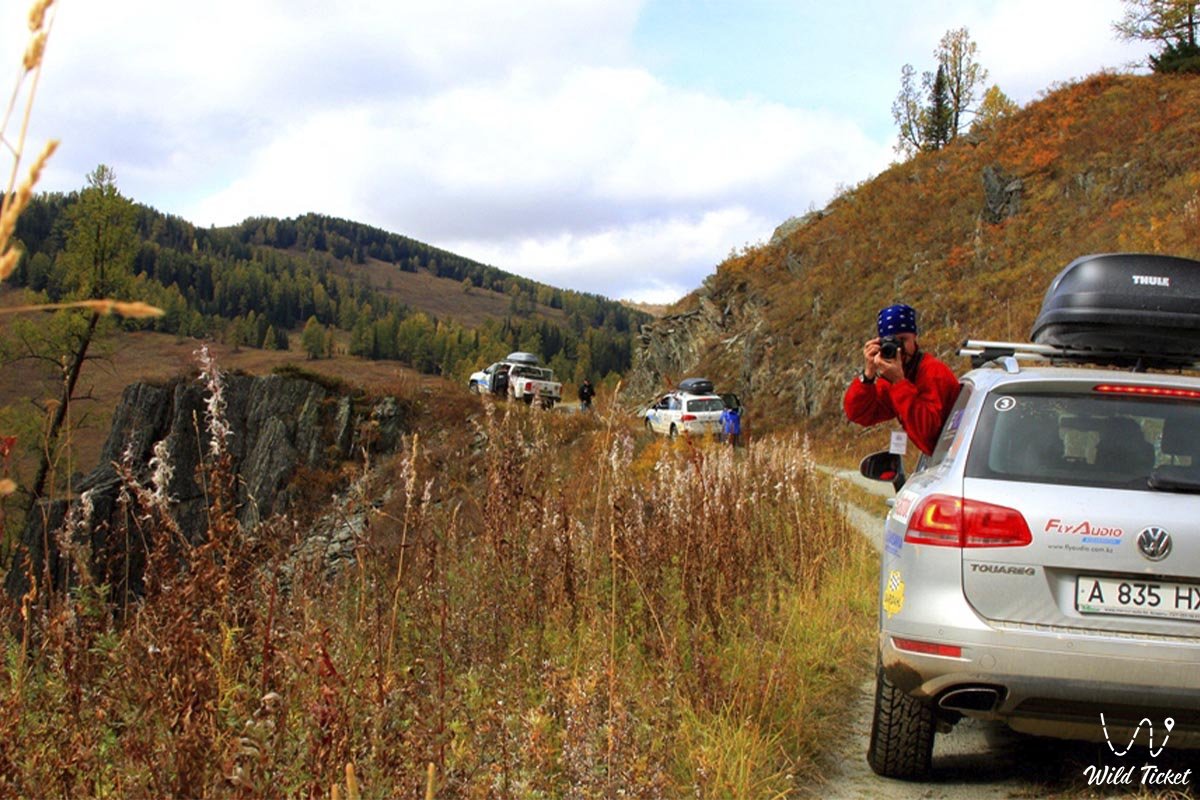
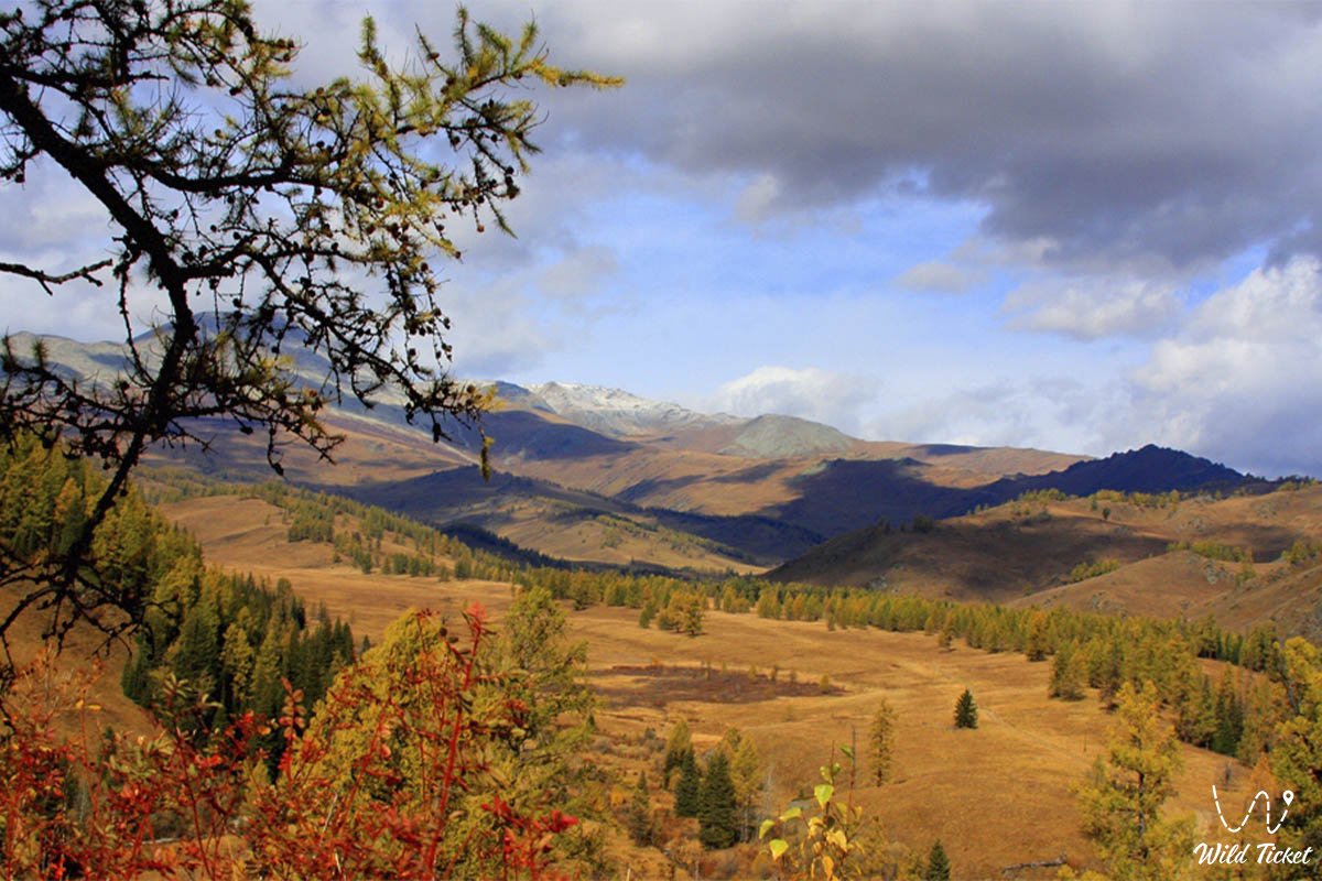
Photogallery: