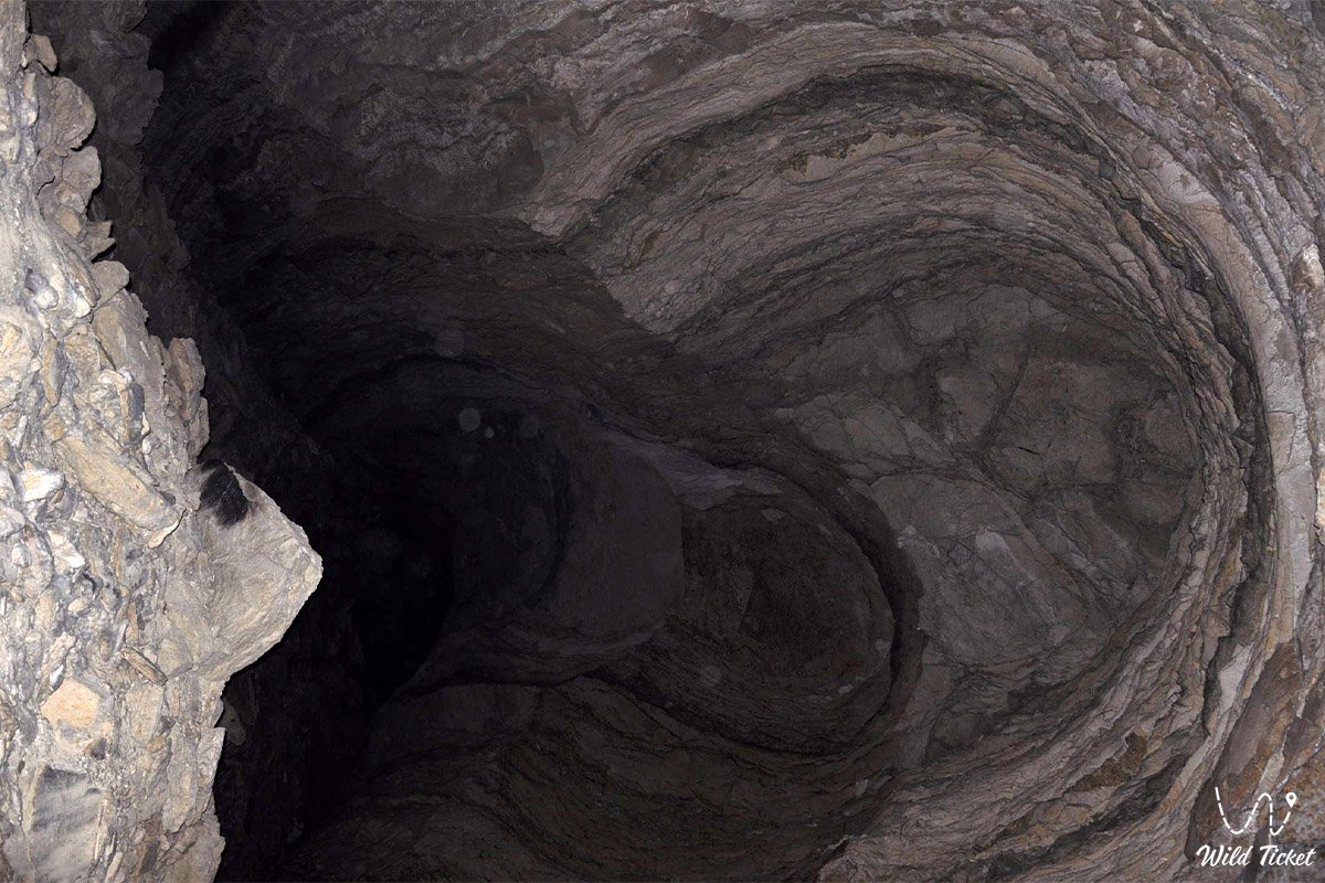
b]Three-chamber speleological system of southern Mangyshlak near the Karynzharyk depression[/b] –
Balayuk cave (Kazakh: Бұлыойық) is a deep vertical-inclined karst cavity and a complex subterranean system in the southeast of the Ustyurt plateau in western Kazakhstan. This speleological cavity formed in the Aksaksauyl tract within the boundaries of the Karakiyan district, south of the Kolyniyazkolka tract and 52 kilometers southeast of the Karynzharyk depression.
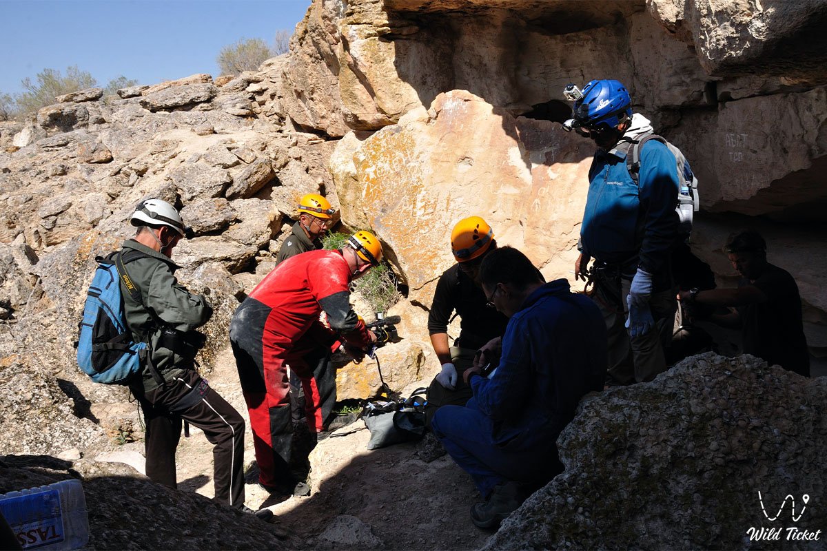
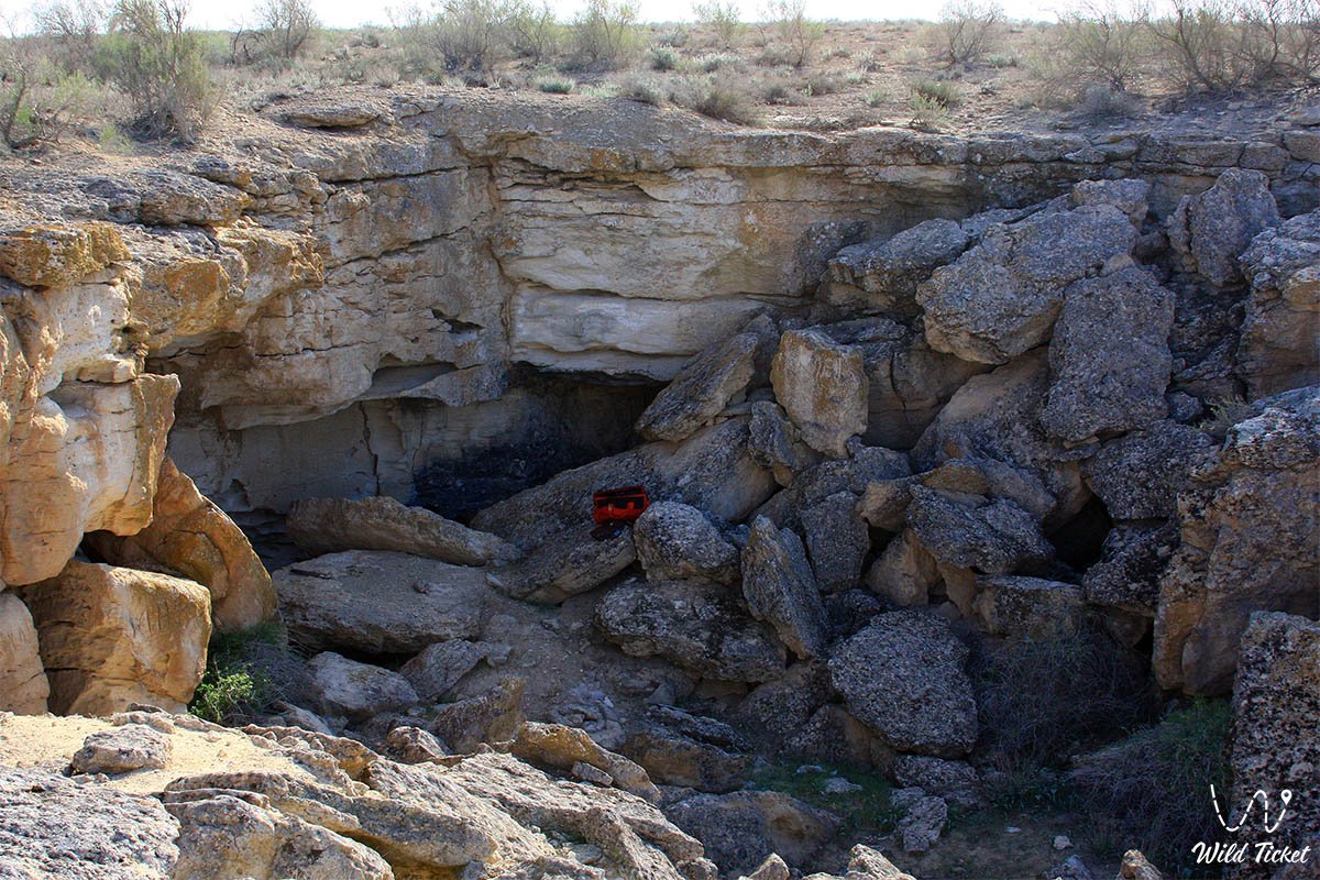
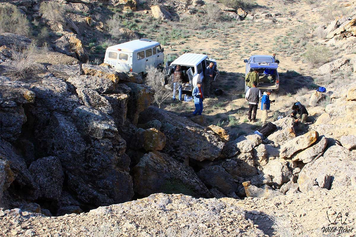
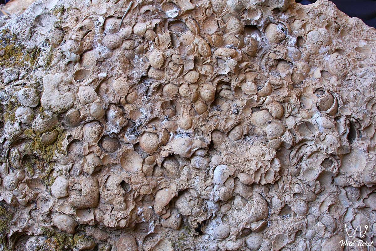
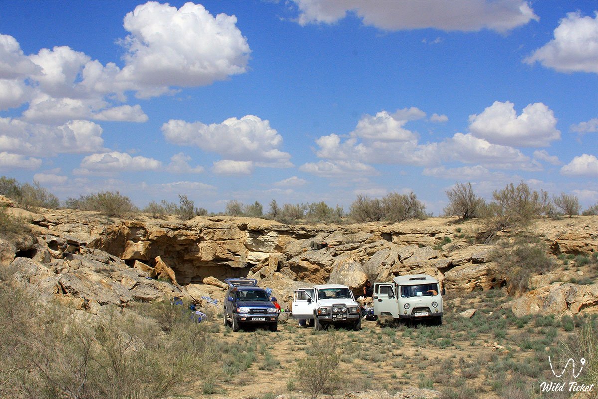
This entire elevated gypsum-limestone zone serves as an essential hydrogeological and speleological landmark of the region, plunging into the earth to a depth of approximately 120 meters—a record for Mangystau—with a total passage length of around 190 meters. The entrance to the subterranean labyrinth lies at the bottom of an imposing collapse sinkhole 50 meters long, 6 to 15 meters wide, and up to 7 meters deep, exposing bedded gray coquina and oolitic limestones of the Middle Sarmatian along its flanks.
The geological framework of the cavity is carved into dense sequences of Sarmatian coquina limestones alternating with oolitic varieties and clayey-marly interbeds that settled millions of years ago on the floor of the retreated ancient Tethys Ocean.
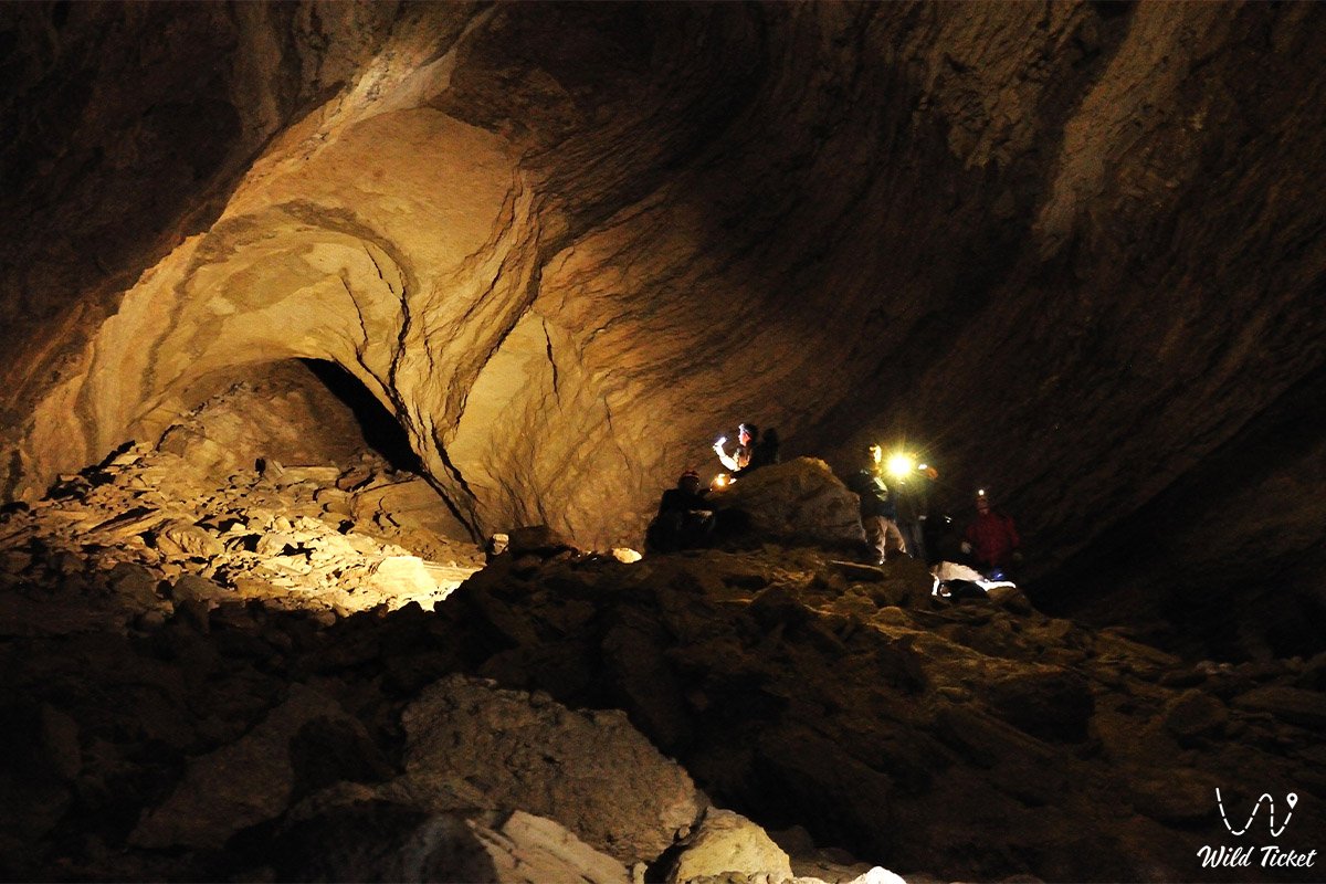
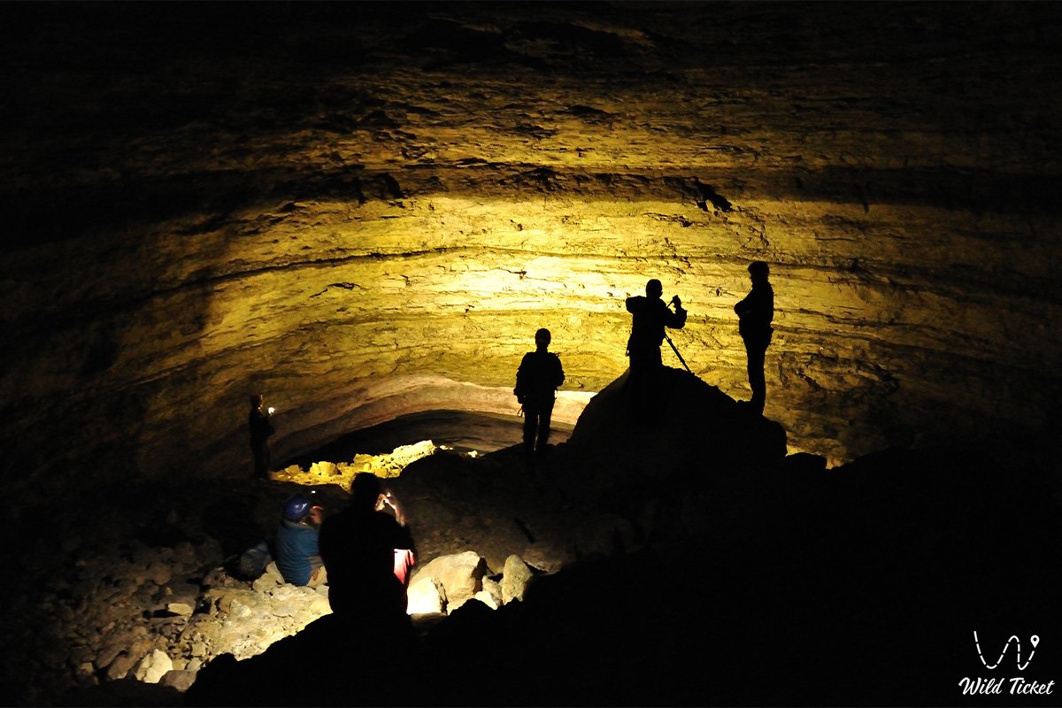
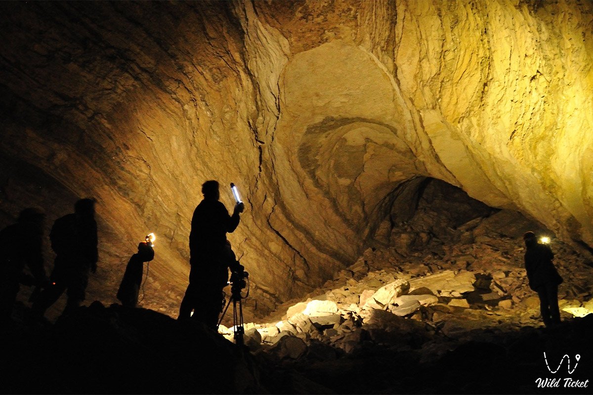
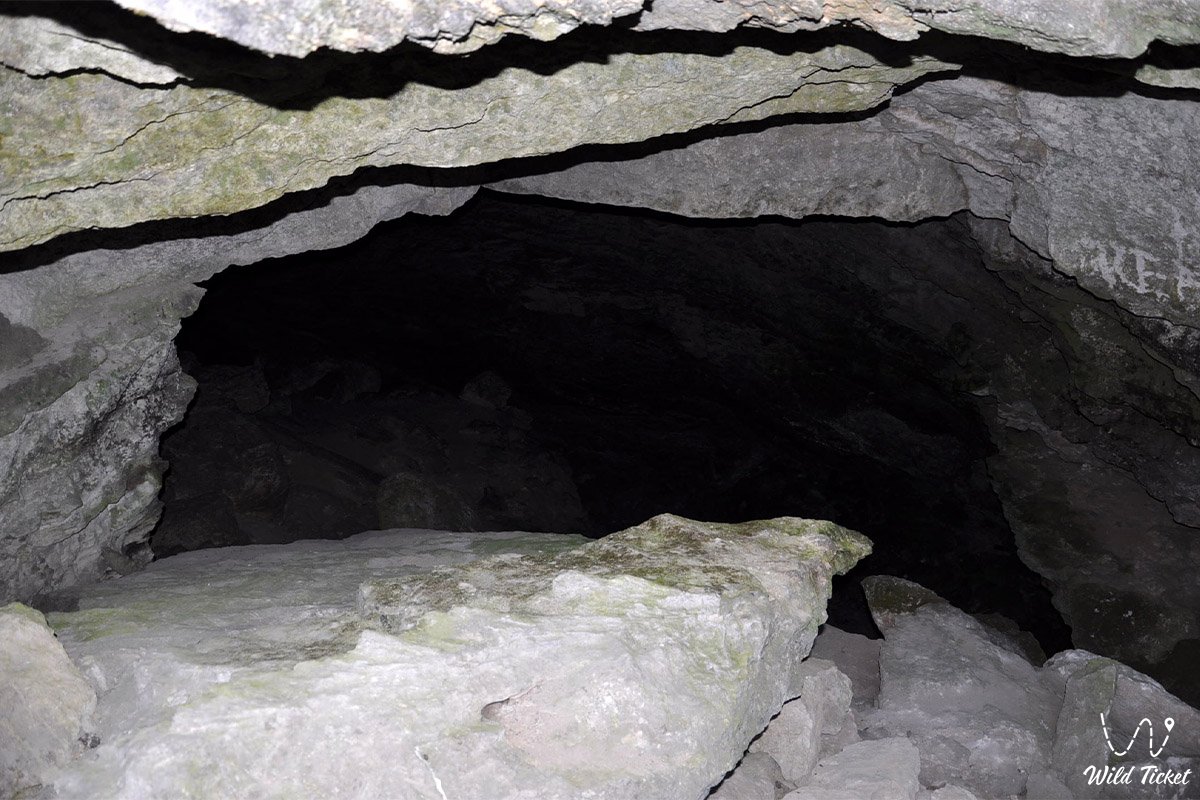
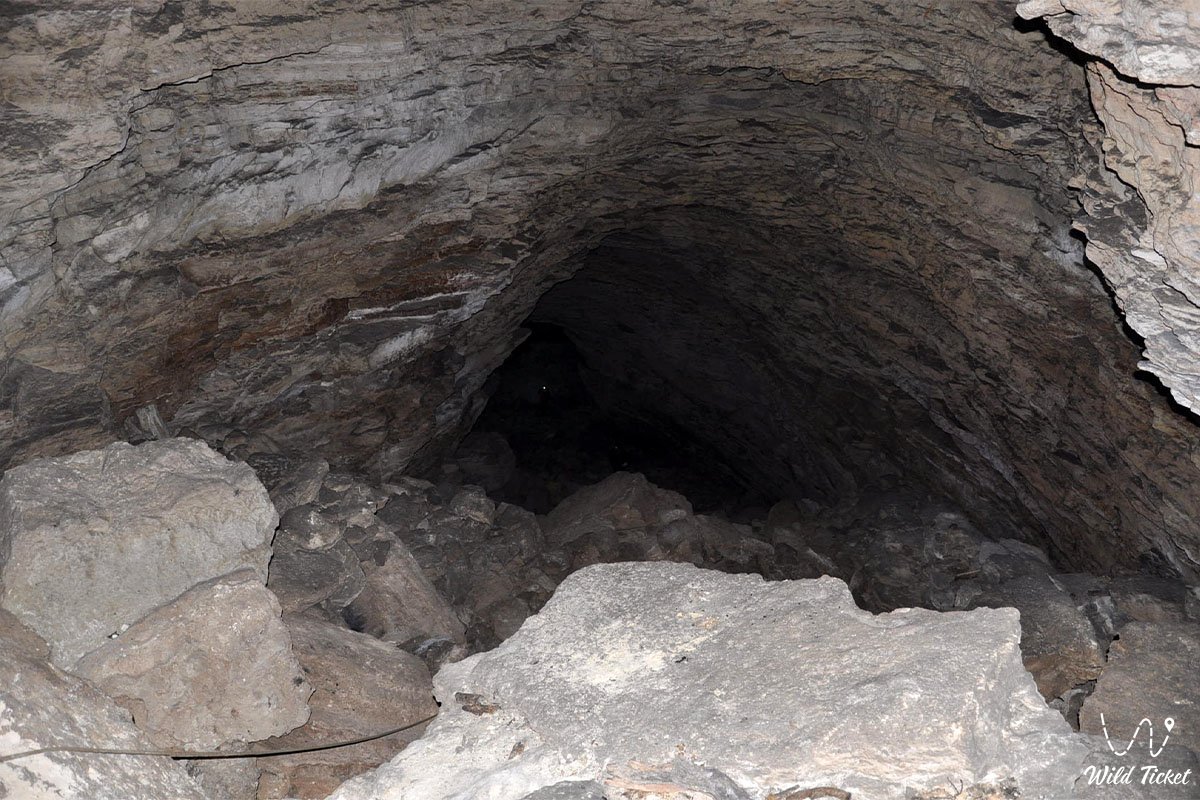
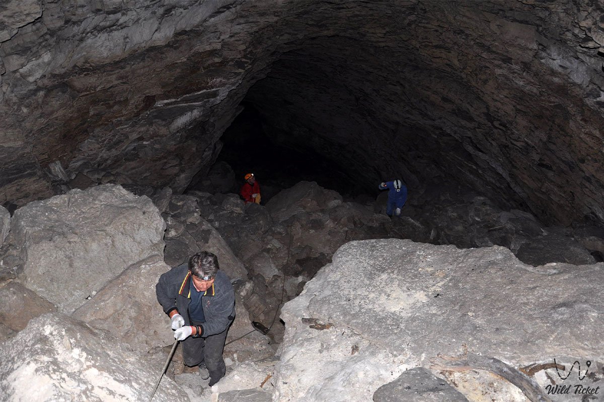
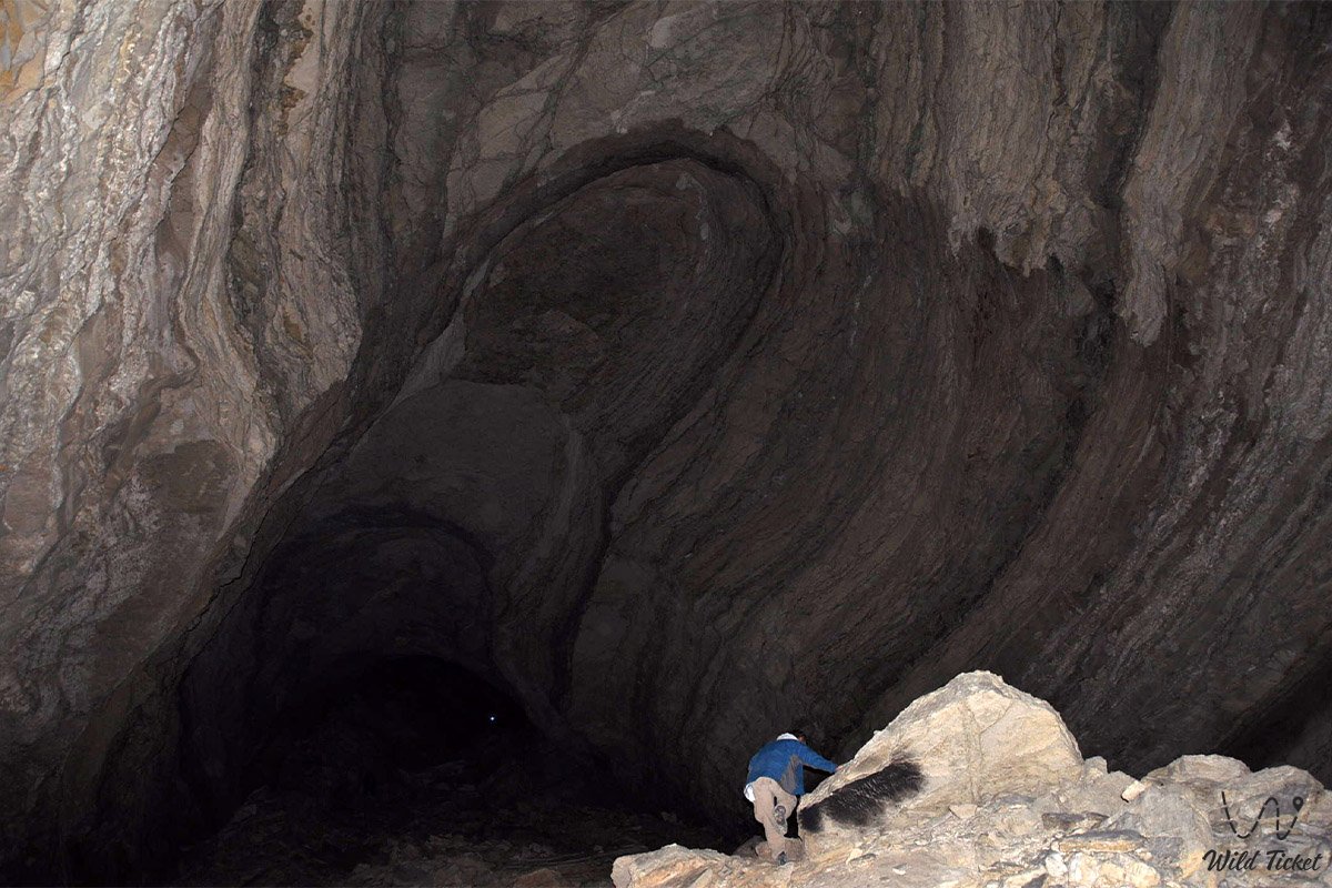
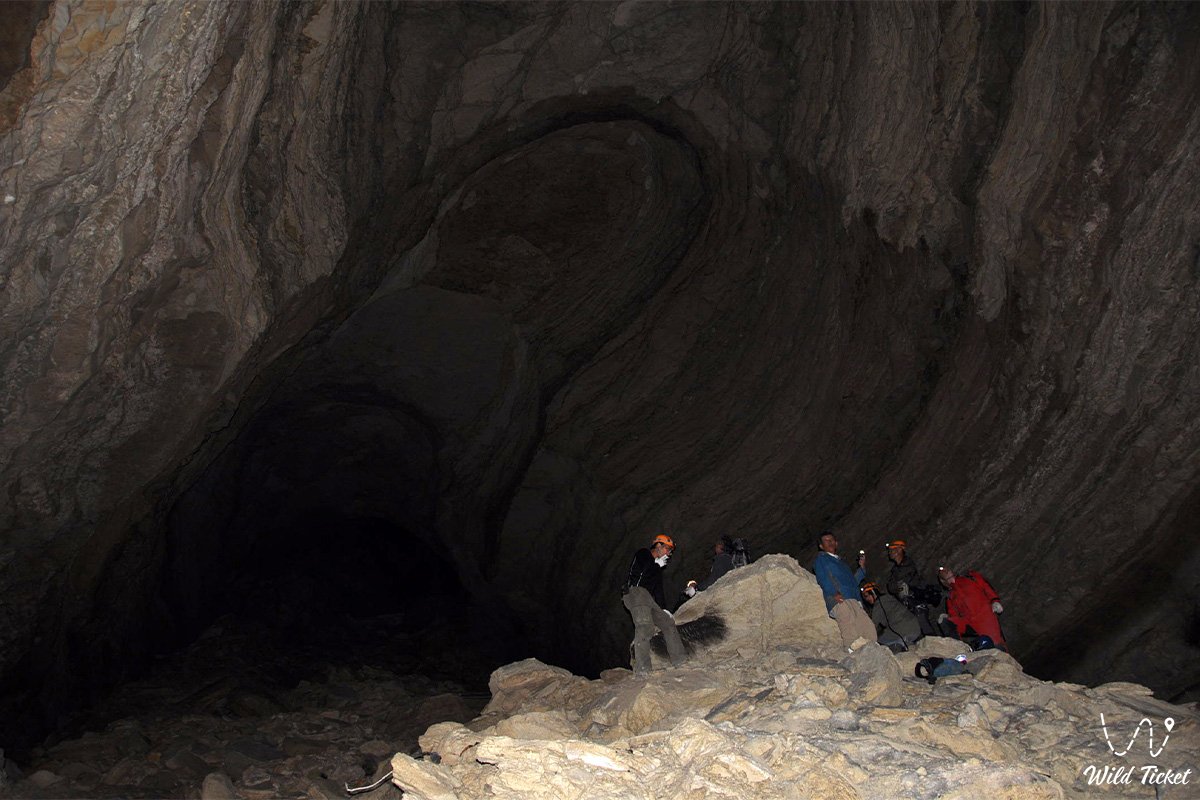
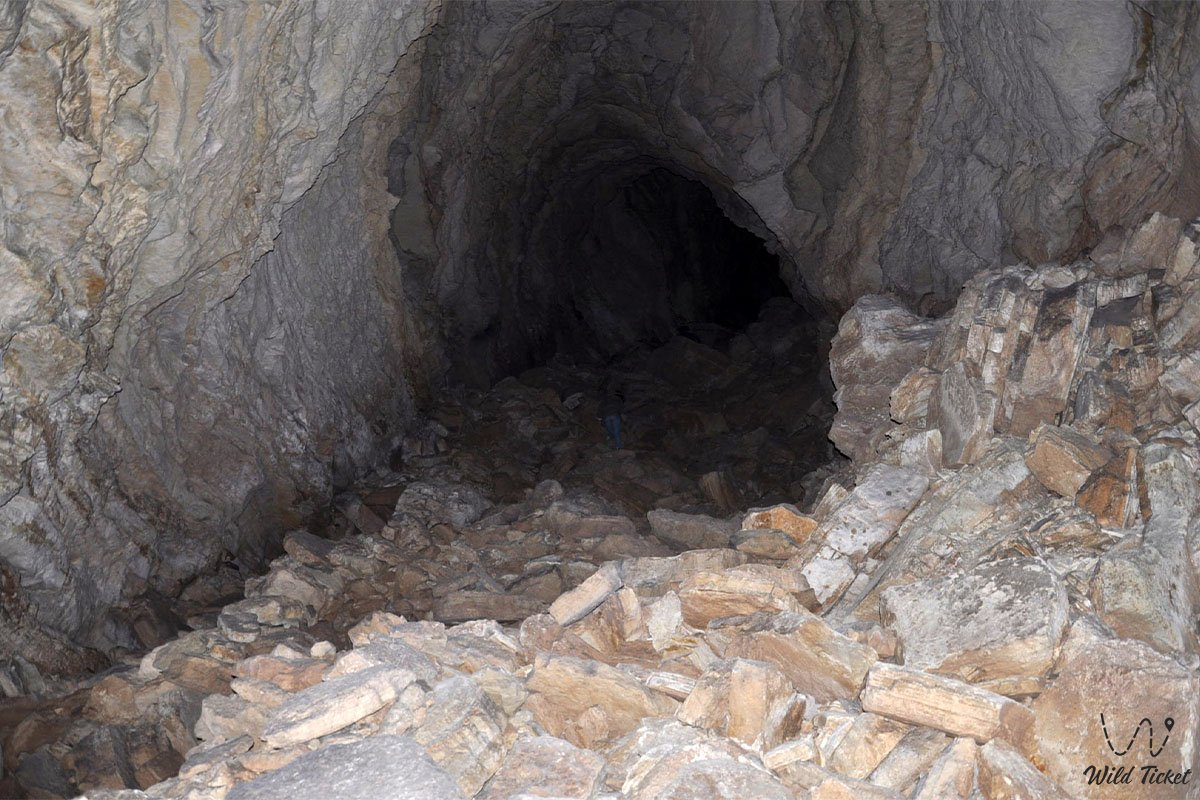
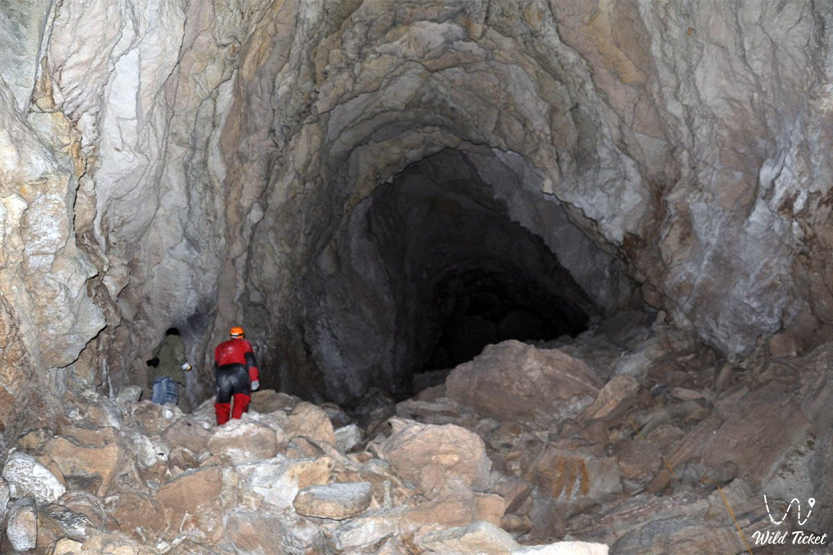
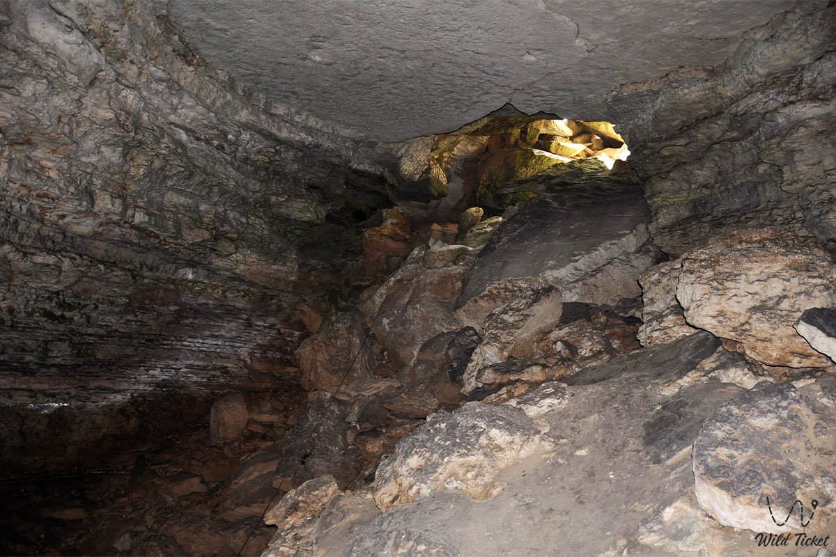
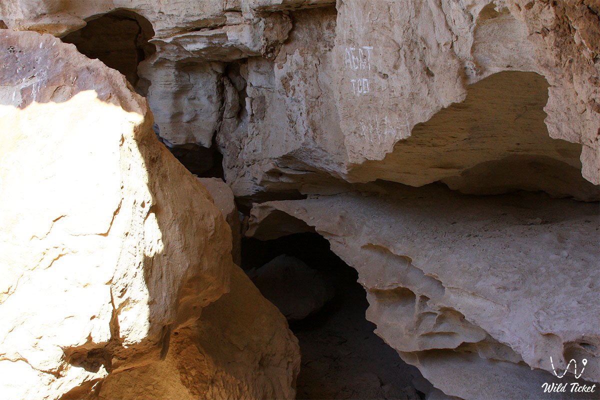
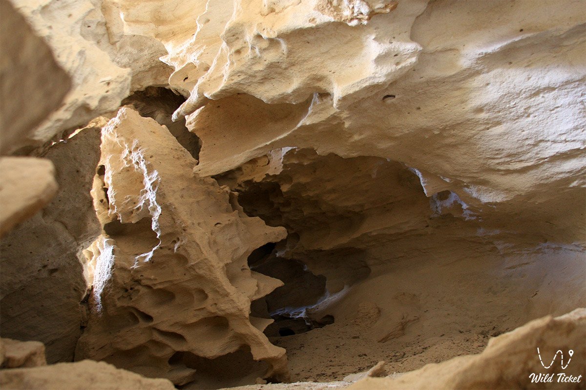
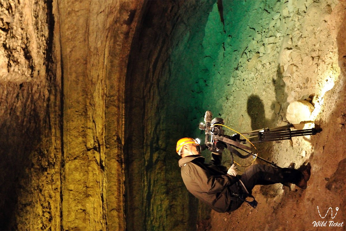
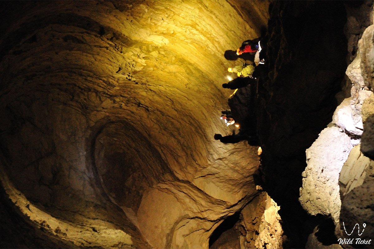
The underground space consists of a single trunk passage where steeply inclined corridors with gradients ranging from 40 to 70 degrees alternate with three spacious chambers of trapezoidal cross-section situated at depths of 28, 75, and 120 meters. The inclined sections, extending from 40 to 80 meters, are obstructed by chaotic rockfalls and massive limestone slabs, while the ceilings display a characteristic stepped profile.
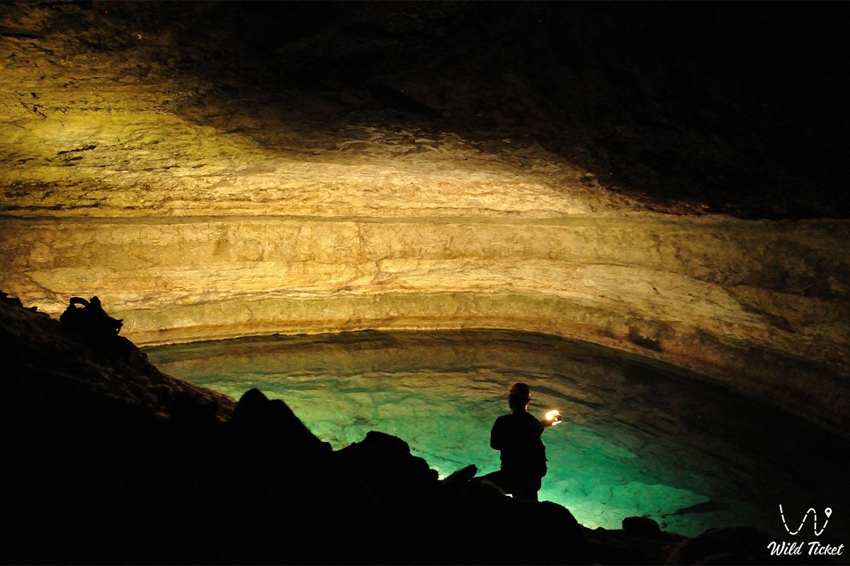
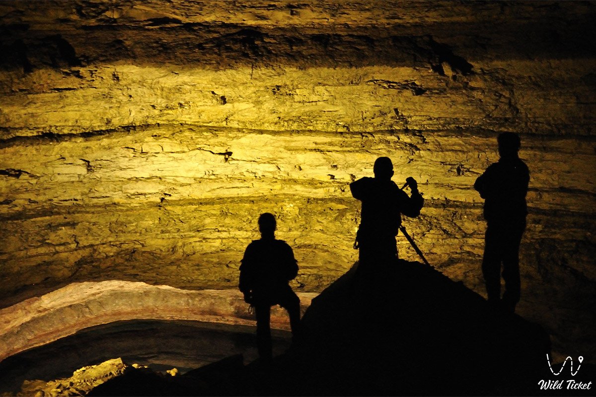
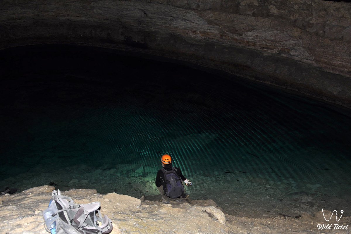
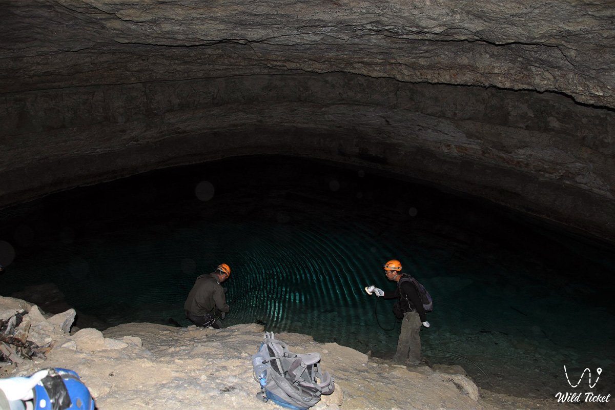
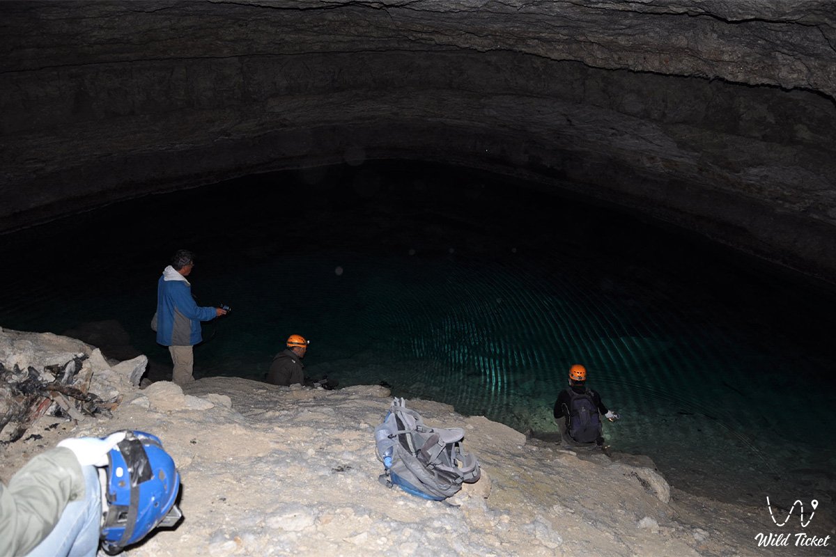
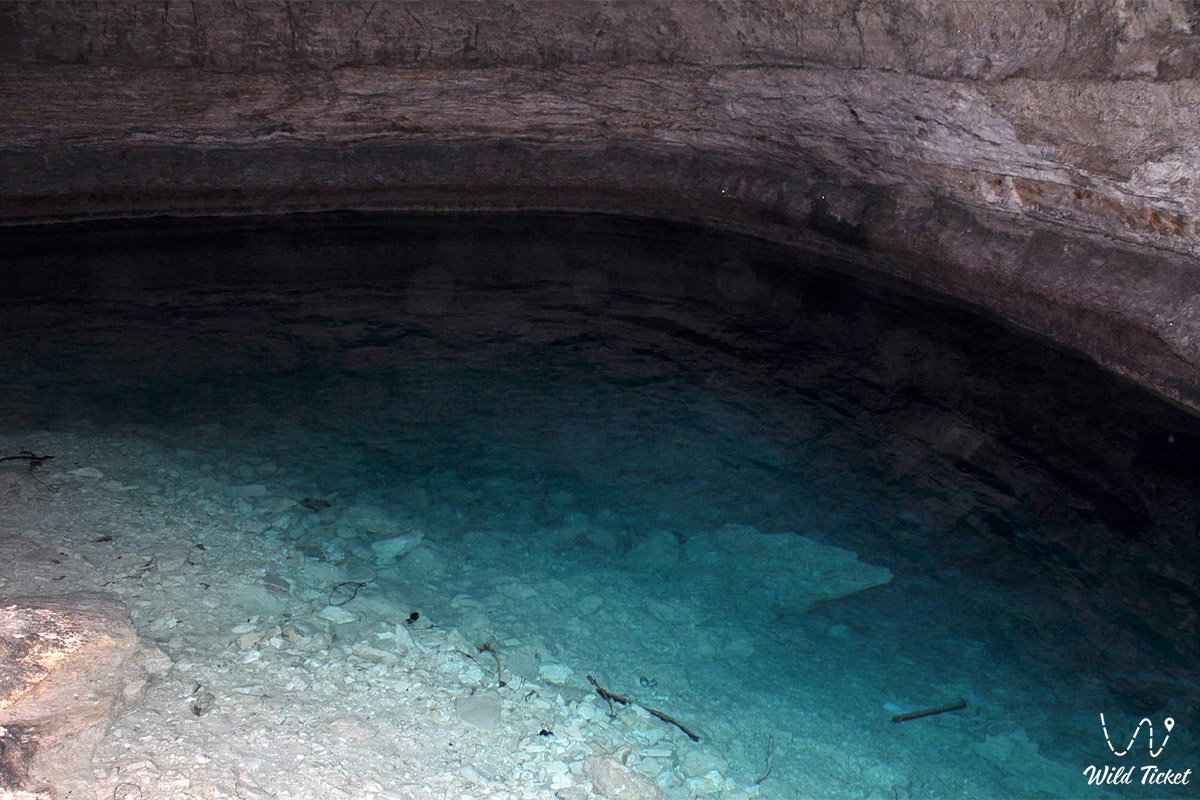
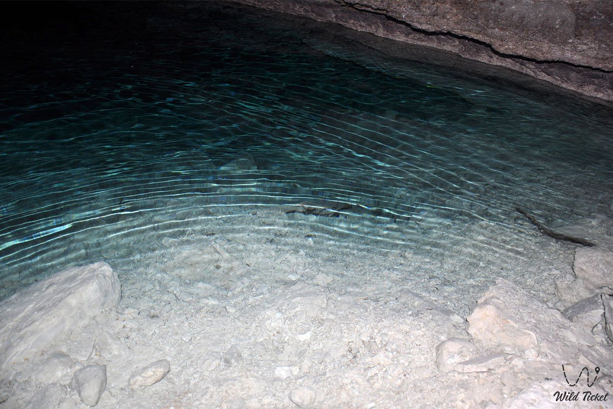
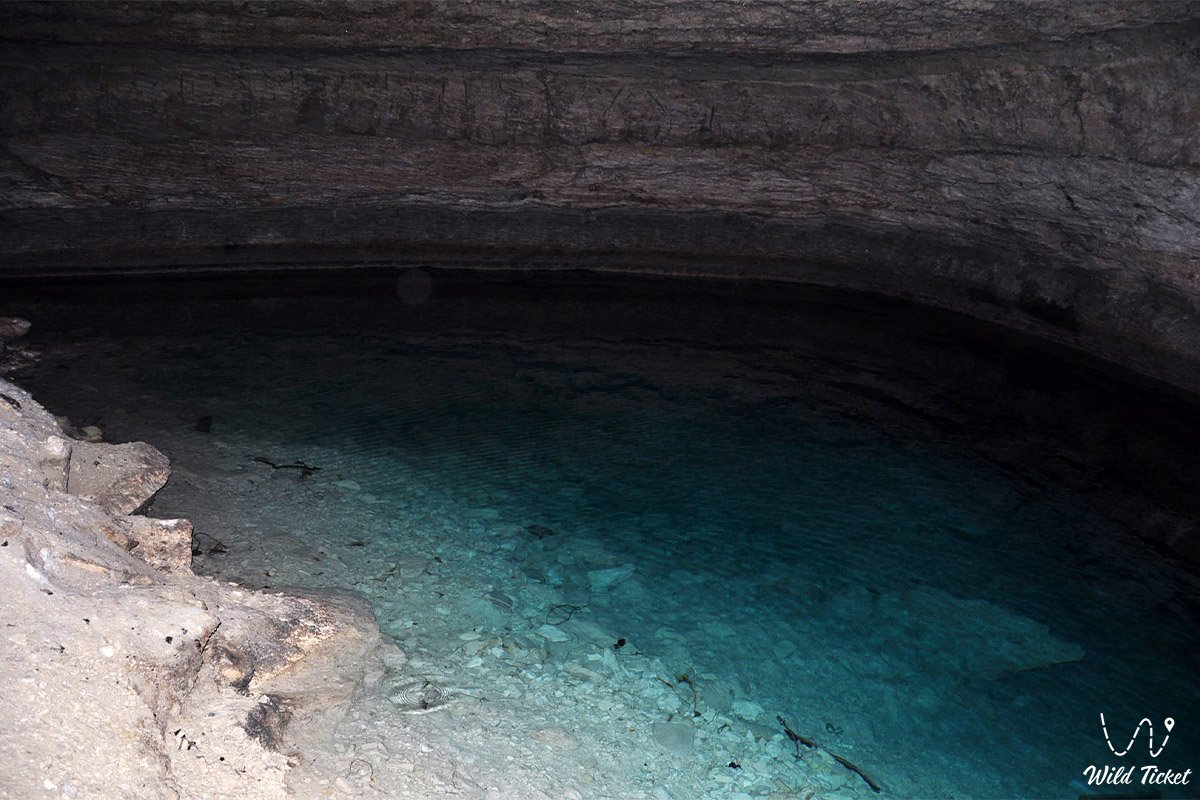
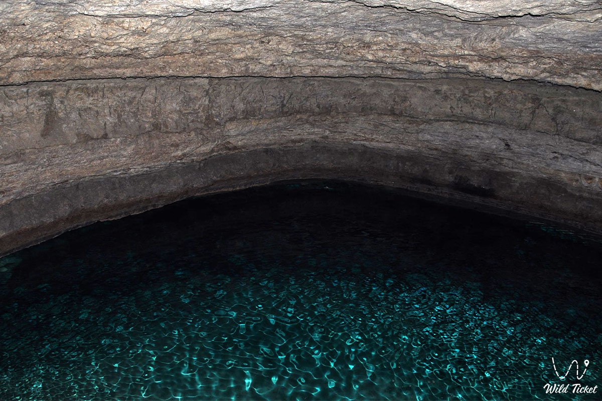
The primary natural jewel of the cave is a crystal-clear subterranean lake in the third dead-end chamber at a depth of 120 meters: a water body measuring 20 by 10 meters with a constant water temperature of around +10...+13 °C that possesses a pronounced brackish-bitter taste due to the high concentration of dissolved mineral salts.
In the expedition and travel geography of Ustyurt and the Mangyshlak peninsula, Balayuk cave occupies a strategic position as an iconic speleological site on distant border frontiers. Just 10–10.5 kilometers to the south lies the karst Utebay cave, and 20 kilometers to the south runs the state border with the Republic of Turkmenistan.
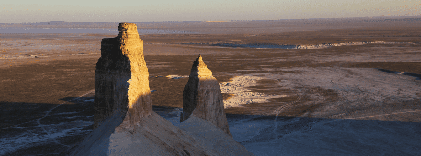
Within overland expedition range are the endorheic Karynzharyk depression with the chalk "Three Brothers" mountains ("Three Batyrs") and the Kenderli salt flat, the spring-fed Onere tract on the grounds of the Ustyurt nature reserve, and the sheer eastern chinks of the plateau.
Tour to Balayuk Cave from the city of Aktau (6 days)
--------------------------------------------
How to get there and visit –
Bulyoyyk (Balayuk) cave is situated in the southeastern sector of the Ustyurt plateau in the Karakiyan district of the Mangistau region. The distance from the city of Aktau is about 350 km, roughly 200–210 km from the town of Zhanaozen, 52 km southeast of the Karynzharyk depression, 2.5 km southeast of the Balayuk necropolis, 10.5 km north of Utebay cave, and about 20 km from the border with Turkmenistan.
GPS geographic coordinates of Balayuk cave:
42°26'47"N 54°43'59"E
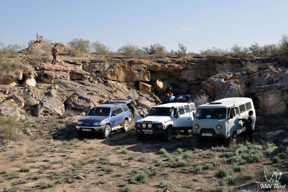
The route from Aktau leads southeast along a paved highway through the town of Zhanaozen (150 km). From there, the journey continues south and southeast along a rough crushed-stone grader past salt flats toward the Karynzharyk sands and border posts. The final dozens of kilometers cross shifting steppe terrain, salt flat sectors, and rocky tracks with deep washouts.
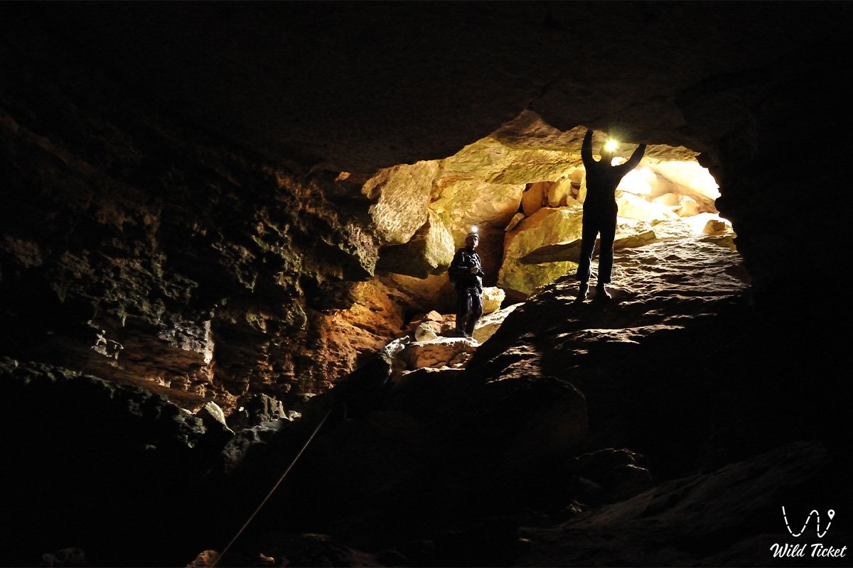
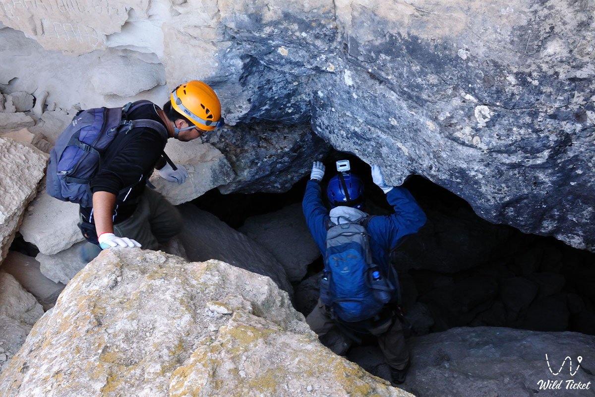
Access to the cave is approached from the eastern side of the karst sinkhole, where a well-beaten track leads down a gentle slope directly to the narrow entrance mouth.
Border regime and permits: the site is located in close proximity to the state border of the Republic of Kazakhstan with Turkmenistan and borders the buffer zones of the Ustyurt state nature reserve. All expedition members must carry original identification documents (Kazakhstani citizens must carry national ID cards; foreign citizens must carry international passports and official border zone permits). Because the route often traverses protection sectors of the Karynzharyk depression, an official entry permit must be secured in advance from the administration of the Ustyurt reserve in Zhanaozen.
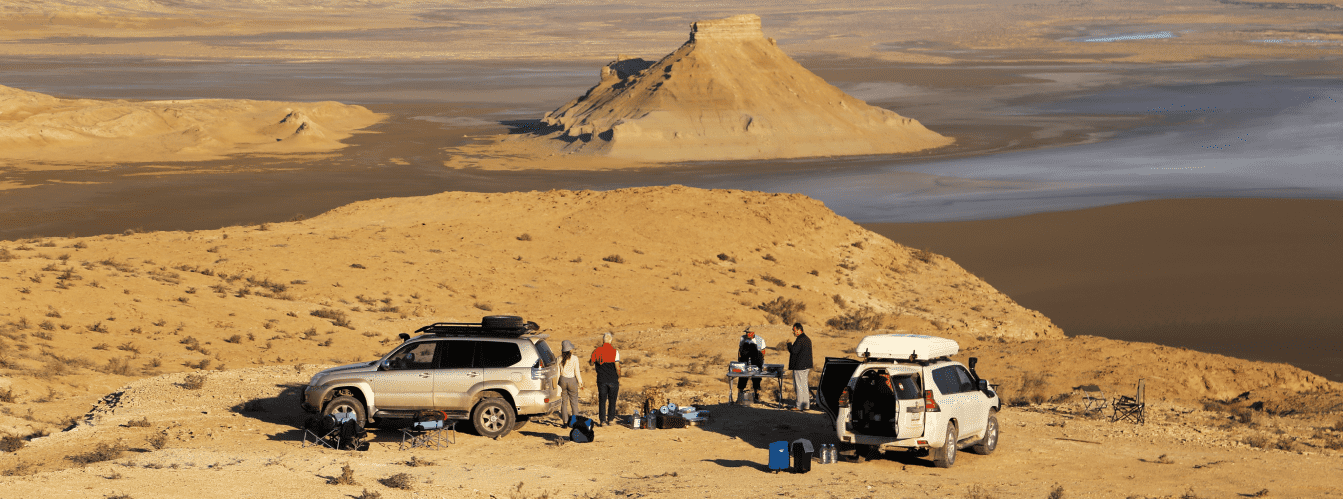
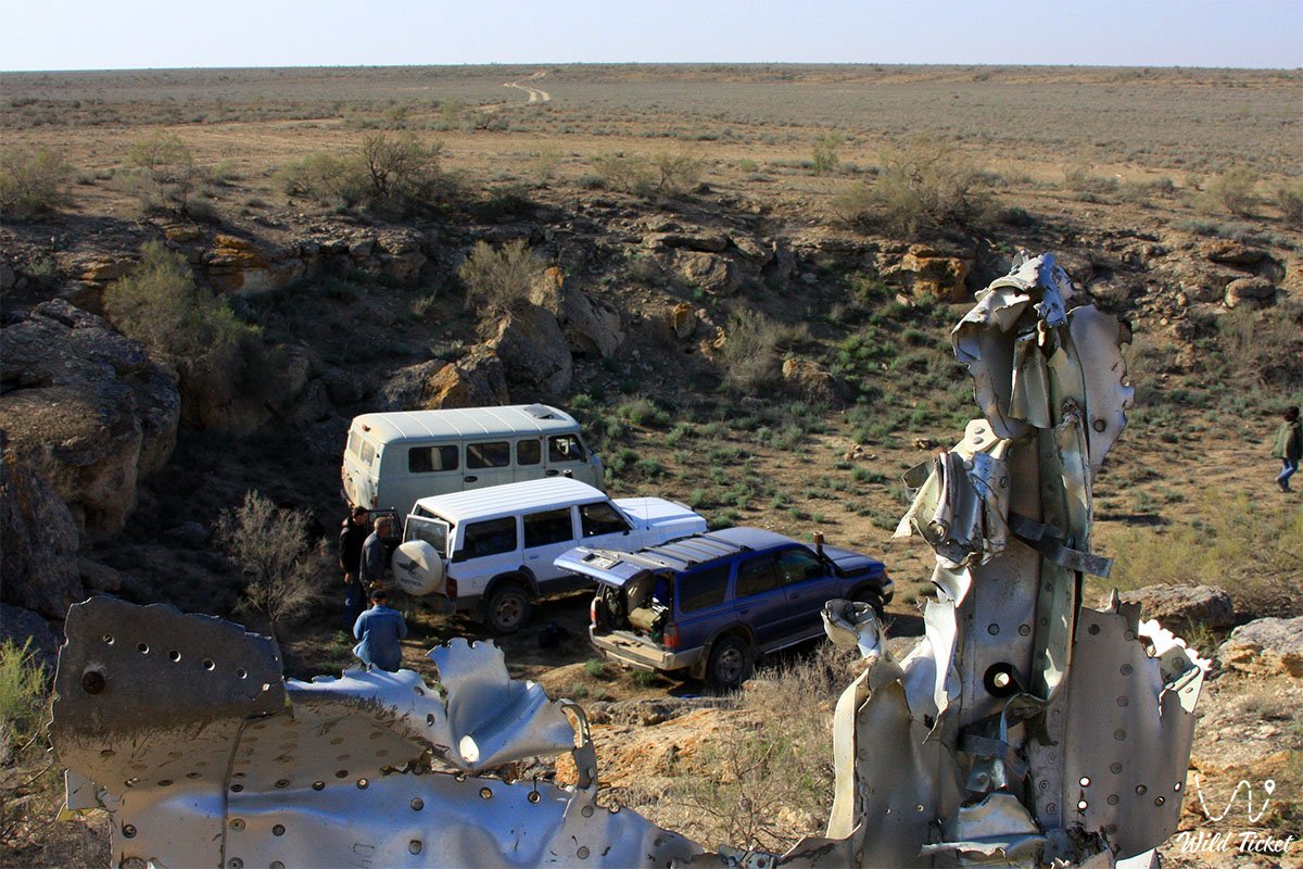
Vehicle requirements: travel is possible exclusively in prepared four-wheel-drive 4x4 expedition vehicles with high ground clearance of 220–250 mm and durable All-Terrain or Mud-Terrain tires. Driving in a convoy of at least two to three vehicles is strongly recommended.
Loose ground, sharp stones, and deep washouts carry a continuous risk of tire punctures and suspension damage hundreds of kilometers from settlements. Each crew must carry a fuel reserve for at least 500 km of autonomous travel, two operational spare wheels, an air compressor, dynamic straps, a hi-lift jack, and a tubeless tire repair kit.
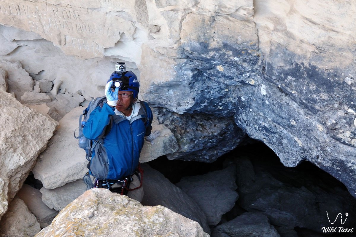
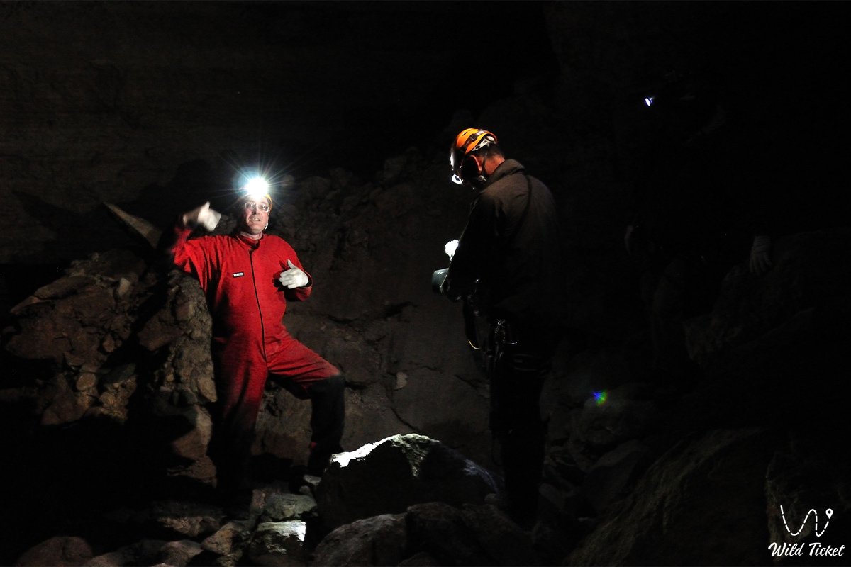
Safety precautions when descending into the cave: descending to the depth of 120 meters takes from 1 to 1.5 hours, while the ascent takes about 30–40 minutes. Upon entering the cave, natural daylight disappears entirely within the first few meters, provoking natural sensations of claustrophobia and disorientation. The trail passes over slick and steep screes with an incline of up to 70 degrees among chaotic limestone boulders. It is recommended to consistently keep to the left side along the line of descent, as this rock ledge provides the most secure footing.
It is strictly mandatory to have:
– reliable high-powered headlamps and flashlights with spare sets of batteries;
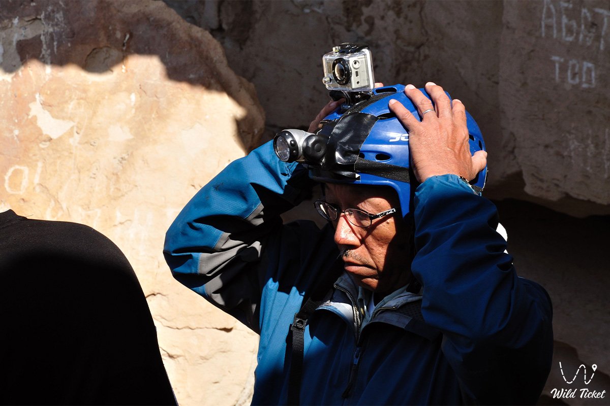
– protective helmets due to low ceilings and the hazard of falling stones;
– sturdy trekking boots with stiff soles and pronounced tread;
– thick work gloves for gripping sharp limestone edges;
– a static rope 50–60 meters long for belaying along the steepest 70-degree sections between chambers;
– warm clothing (a windbreaker or fleece jacket), as the temperature at the bottom hovers around +10...+13 °C even at the height of surface summer heat.
ATTENTION: swimming in the subterranean lake carries a risk of sudden muscle cramps due to the frigid mineralized water and the absence of gentle shoreline exits.
DESCENDING INTO THE CAVE ALONE IS STRICTLY PROHIBITED.
Environmental safety rules:
In Balayuk cave and across the surrounding territory, it is STRICTLY MANDATORY TO:
– carry out absolutely all household waste (including candle stubs, spent batteries, and wet wipes) back to the surface;
– strictly refrain from using torches or open fire: the ceilings of the first chamber are heavily coated with combustion soot from past decades, disrupting the pristine microclimate of the subterranean cavity;
– avoid polluting the water of the subterranean lake with detergents and chemicals;
– refrain from breaking off salt crystals or stalagmite formations from the walls;
– avoid driving off the beaten track of the sinkhole to prevent the collapse of karst margins.
Infrastructure: the region is completely wild and uninhabited. For dozens of kilometers around, there is a total absence of mobile coverage, gas stations, shops, potable water sources, and medical facilities. The drinking water supply must be calculated at a minimum of 5 liters per person per day, with food provisions for at least three days of autonomous camp life. The nearest inhabited winter camps of shepherds are located more than 15–20 km from the tract.
The best time to visit is early autumn (September – October), which offers stable dry weather and moderate surface temperatures (+20...+25 °C), as well as late spring (May). In July and August, surface air temperatures across the plateau exceed +42...+45 °C, while during the winter period the plateau is swept by gale-force winds with temperatures below -15 °C.
--------------------------------------------
History
The history of Balayuk cave is linked to the nomadic routes of the Aday clans, the sacred geography of Ustyurt, and early stages of Soviet speleology in the mid-20th century.
For centuries, the karst sinkhole served as a landmark for caravans and horse breeders migrating between the chinks of Karynzharyk and the plateau wells. The cavity took its name from the ancient Kazakh necropolis of Balayuk (Bulyoyyk) located 2.5 kilometers to the northwest. Local residents were aware of the deep, "breathing" pit, but nomads avoided descending into its gloomy corridors, associating subterranean voids with the dwellings of mythical underground beings and spirits.
The official scientific discovery and initial survey of the cave took place in 1959. Renowned Soviet researchers and geologists S. E. Petrov and A. N. Slyusarev, during a comprehensive investigation of karst phenomena in Mangyshlak and Ustyurt, entered the entrance sinkhole, negotiated the steeply inclined tunnels, and reached the third chamber, where at a depth of 120 meters they discovered an underground lake. Their topographic survey became the baseline reference on the karst of this remote region for decades.
In 2012, a comprehensive scientific speleological expedition was dispatched to Balayuk cave, conducting modern measurements of the chambers, assessing the hydrochemical composition of the lake water, and verifying the structural stability of the rock vaults. Today, Balayuk remains an established speleological landmark of Western Kazakhstan, included in itineraries of autonomous expeditions across deep Ustyurt.
Information
Genetically, Balayuk cave belongs to the corrosion-gravitational karst cavities of the inclined type, formed within horizontally bedded Neogene organogenic sequences.
Morphometric characteristics of the cavity:
– total depth of the cave: 120 m;
– total length of subterranean passages: about 190 m;
– dimensions of the surface entrance sinkhole: length 50 m, width from 6 to 15 m, depth about 7 m;
– number of primary chambers: 3 isolated chambers;
– chamber depths: first — 28 m, second — 75 m, third (lake chamber) — 120 m;
– chamber dimensions: length 15–20 m, width 8–10 m, ceiling height from 6 to 15 m (up to 30 m in individual domes);
– length of inclined connecting corridors: from 40 to 80 m with a width of 4–10 m and height of 6–10 m;
– corridor slope gradient: from 40 to 70 degrees;
– dimensions of the subterranean lake: length 20 m, width 10 m.
Geological structure:
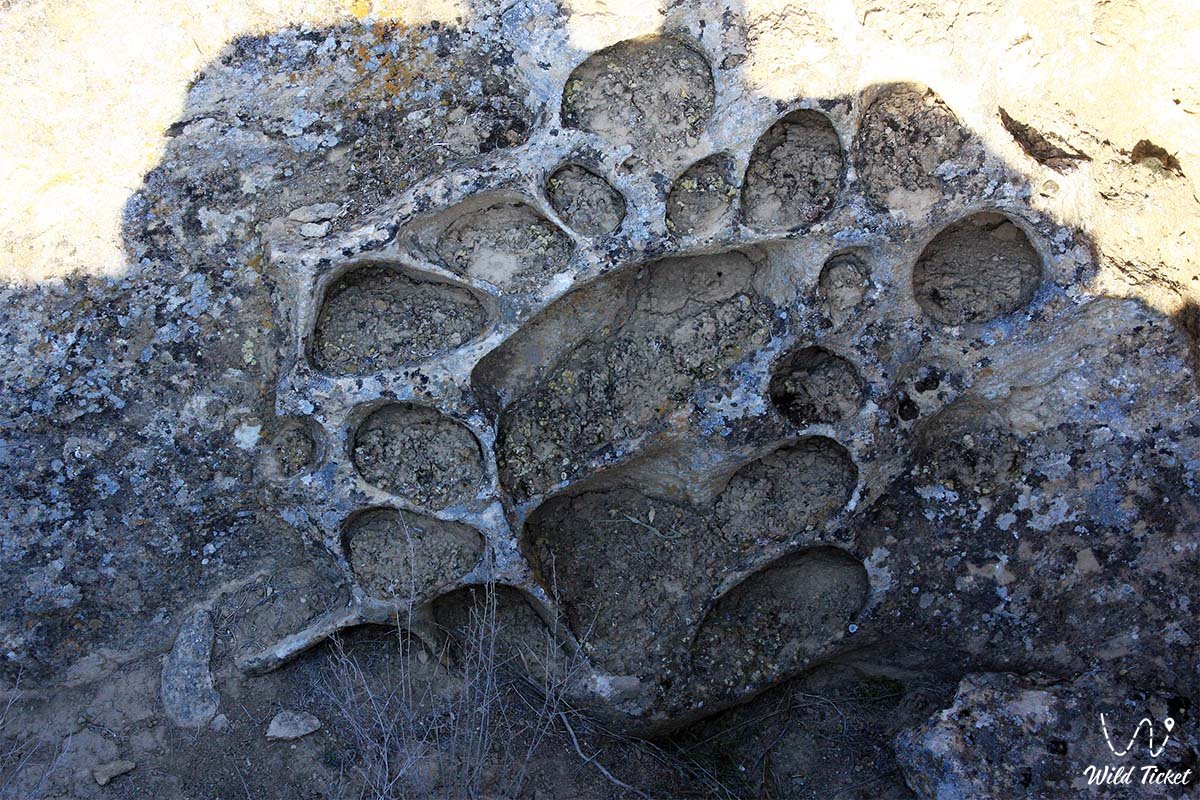
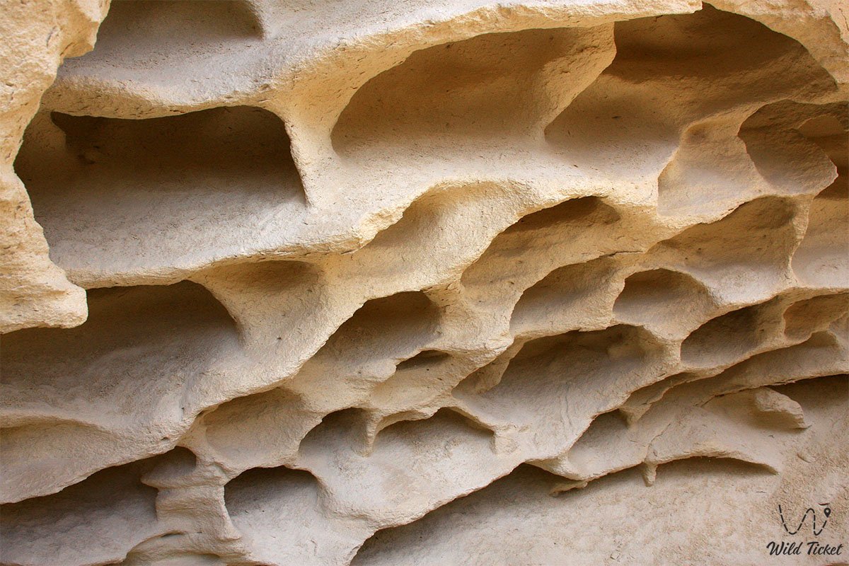
The entrance sinkhole and upper section of the cave are carved into dense gray coquina and oolitic limestones of the Middle Sarmatian, which contain dissolution cavities, joints, and swallowing ponors. Lower in the section, the limestones alternate with thin clay interbeds. The floors of corridors and chambers are blanketed with chaotic talus of angular limestone slabs that broke away from stepped ceilings during gravitational rock settling.
Hydrological regime:
The subterranean lake in the third chamber represents an exposure of a deep regional aquifer of fracture-karst waters. The water is transparent with a cool bluish hue. Due to contact with sulfate and carbonate minerals, it is heavily mineralized: to the taste, it initially feels salty, followed by a persistent bitter aftertaste. The water temperature remains stable year-round at +10...+13 °C.
Microclimatic features:
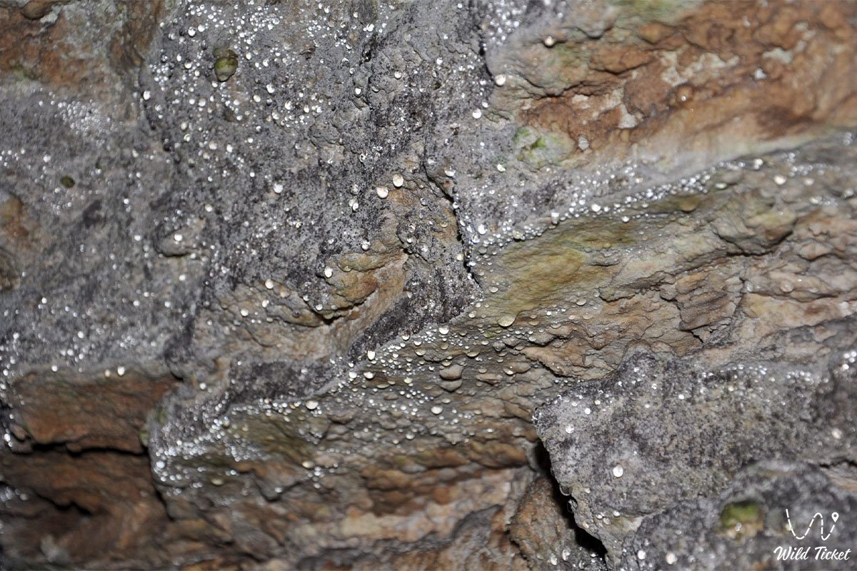
The interior of the cave maintains a stable temperature regime without seasonal fluctuations in its lower horizons (+12...+14 °C). Due to the complex configuration of the stepped profile, natural ventilation is restricted, and a humid, stagnant atmosphere with 100% relative humidity prevails in the bottom lake chamber.
Detailed site description
The speleological structure of Balayuk cave comprises the following key subterranean sectors and morphological elements:
• Entrance karst basin – an oval surface sinkhole with rocky flanks and a gentle eastern descent opening into the subterranean mouth;
• Entrance aperture in coquina beds – an inclined opening in the western part of the sinkhole leading into a steep downward tunnel through gray Sarmatian slabs;
• First chamber (elevation 28 m) – a vaulted expansion with a dome-shaped, soot-blackened ceiling up to 15 meters high and accumulations of collapsed limestone slabs on the floor;
• Upper steeply inclined ramp – a 40-meter rock corridor with an incline of up to 50 degrees, strewn with loose stones and connecting the first chamber to the second;
• Second chamber (elevation 75 m) – a central trapezoidal hall roughly 20 meters long with a level floor, a soaring dome, and complete silence;
• Lower 70-degree pitch – the most demanding and steepest corridor section, measuring up to 80 meters in length with stepped rock ledges that require rope belaying;
• Third lake chamber (elevation 120 m) – the final terminal cavern with a high ceiling vault, the floor of which is entirely occupied by the surface of the subterranean water body;
• Subterranean lake basin – a natural stone reservoir filled with clear blue brackish-bitter water extending beneath a sheer rock face.
Flora and fauna
Vegetation across the plateau surface surrounding the cave is sparse and of desert character. It is dominated by drought-resistant dwarf shrubs and gypsophytes: gray wormwood, biyurgun, boyalych, winterfat, eastern saltwort, and grasses. Inside the cave, higher plant life is absent due to complete darkness, with only primitive mosses and algal films occurring near the boundary of the entrance aperture.
Fauna of the terrestrial zone consists of typical southern Ustyurt species. In the surroundings of the Aksaksauyl tract and the nearby Karynzharyk depression, herds of saiga antelopes, goitered gazelles, Ustyurt mountain sheep (mouflons), corsac foxes, badgers, and tolai hares are found.
Birds of the plateau utilize the rocky ledges of the sinkhole for shelter from the sun: rock doves, desert wheatears, kestrels, and long-legged buzzards inhabit the area.
Within the subterranean sections of Balayuk cave, bat colonies (hemprich's long-eared bats, serotine bats) roost, using the upper vaults of the first chamber for daytime shelter and hibernation. In the deeper chambers and along the margins of the subterranean lake, specialized troglophilic invertebrates have been recorded: cave spiders, springtails, woodlice, and darkling beetles adapted to life in eternal darkness and high humidity.
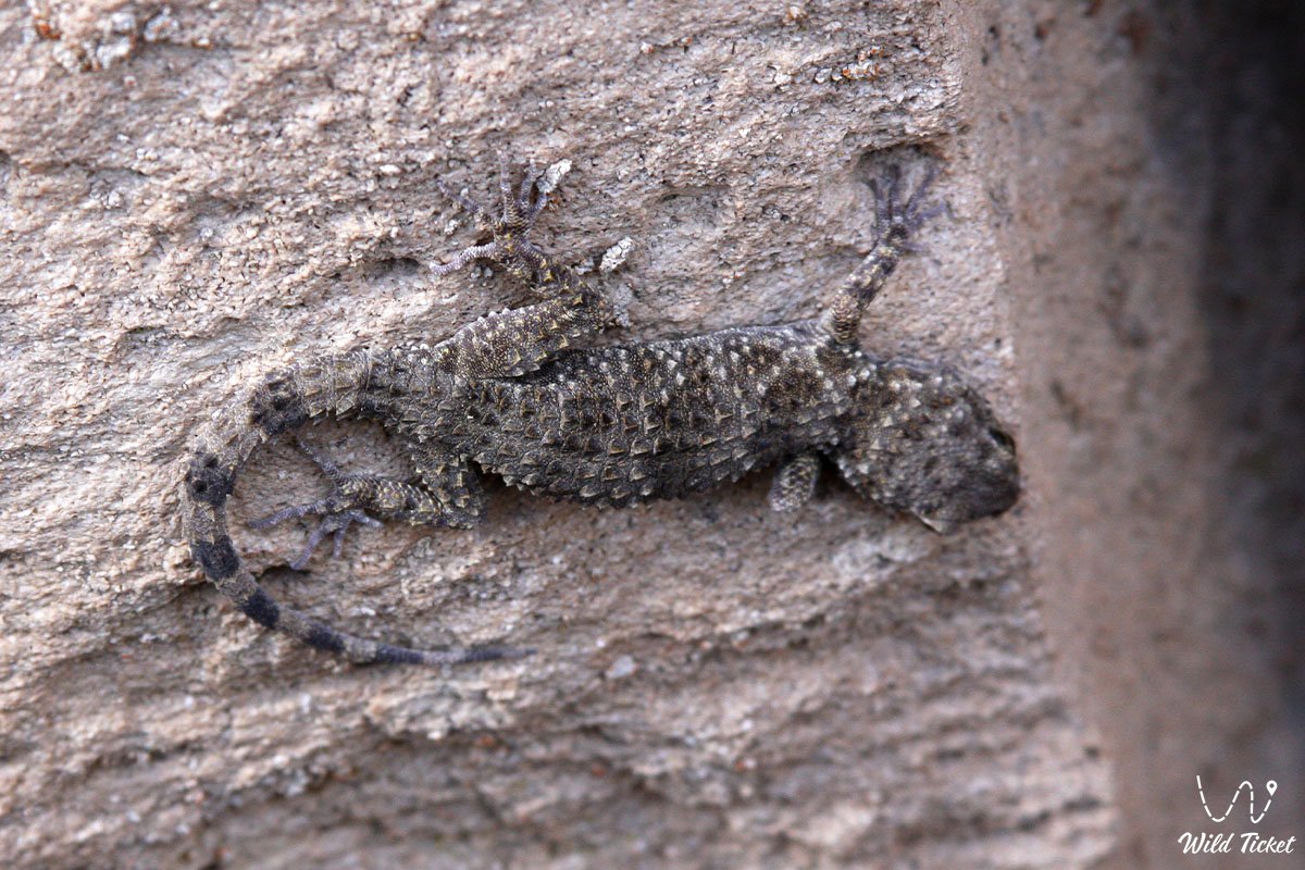
Among reptiles on the plateau surface near the sinkhole, toad-headed agamas, steppe agamas, and rapid fringe-toed lizards occur, alongside the venomous Halys pit viper and black widow spiders.
Legend
An ancient Kazakh legend of the Vanished Batyr and the Lake of Oblivion is told of Balayuk cave.
The tale recounts that in the era of hostile raids upon nomadic settlements of Mangyshlak, a young and courageous Aday batyr named Balayuk rose to defend his clan. In an unequal battle against superior forces, covering the retreat of peaceful encampments toward the Karynzharyk salt flats, the batyr drew the pursuers after him into the desert of Ustyurt.
Wounded, riding his lathered steed, the warrior reached the karst sinkhole and disappeared into its dark opening. The enemy cavalry plunged into the subterranean depths in pursuit. The batyr lured the invaders deeper down the steep, rocky slopes until they reached the bottom of the chasm. There, by the edge of a shimmering lake, Balayuk drank of the icy water, which restored his strength, and made his final stand. The subterranean vaults shook with the warrior's battle cry, and a massive rockfall sealed the invaders within the stone passages forever.
Ever since, the cave has borne the name of Batyr Balayuk. Steppe elders say that the water of the subterranean lake preserves the memory of those trials, and that anyone who approaches it in the quiet at a depth of one hundred meters can hear the echoes of the ancient battle and feel the cold breath of the batyr guarding the peace of Ustyurt's depths.
Conclusion
Balayuk karst cave is a landmark of subterranean nature and a recognized speleological destination in the Mangystau region. Negotiating its steep inclined corridors and descending to a depth of 120 meters to the subterranean blue lake within the Sarmatian limestones offers an encounter with the geological history of the Ustyurt plateau.
Nearby attractions:
• Subterranean lake of Balayuk cave;
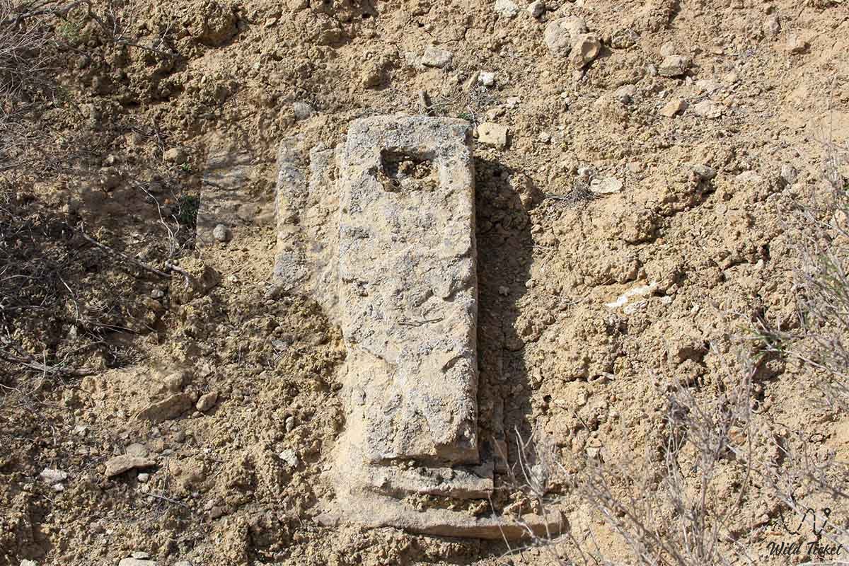
• Ancient Balayuk (Bulyoyyk) necropolis;
• Utebay karst cave;
• Karynzharyk depression;
• Kenderli salt flat;
• "Three Batyrs" chalk buttes;
• Onere spring;
• Ustyurt reserve;
• Basgurly – Zhazgurly depression system;
• Kolyniyazkolka tract;
• Aksaksauyl tract;
• Eastern chink of the Ustyurt plateau;
• Caspian Sea;
• Cape Tokmak;
• Kenderli bay;
• Town of Zhanaozen;
• City of Aktau.
Sacred gems of Mangystau:
• Beket-Ata underground mosque (Oglandy);
• Shopan-Ata underground mosque and necropolis;
• Karaman-ata necropolis and underground mosque;
• Shakpak-Ata rock-cut underground mosque;
• Sultan-epe underground mosque and necropolis;
• Kenty-baba necropolis;
• Sisem-ata necropolis;
• Otpan-tau memorial complex;
• Masat-Ata underground mosque;
• Sonabay underground mosque;
• Koben mosque;
• Zholaskan mosque;
• Kolbas Ishan mosque;
• Uytoly-Ata mosque;
• Bayte sanctuary.
Photogallery: