Unique hydrographic basin and a symbol of ecological revival -
Small Aral Sea (Small Aral, Northern Aral) is a brackish isolated lake basin located on the territory of the Kyzylorda region of the Republic of Kazakhstan, on the border of Kazakhstan and Uzbekistan. Being the northern part of the once unified giant Aral Sea, this reservoir arose in 1987 as a result of its global drying up and shallowing.
Today, the Small Sea receives water from the Syr Darya River and serves as living evidence that targeted scientific and technical efforts are capable of saving fresh and salty water bodies threatened with complete destruction, returning stability and life to an arid desert.
In 2012, the Small Aral Sea and the Syr Darya River delta were officially included in the list of wetlands of international importance falling under the scope of the Ramsar Convention. In its modern form, the reservoir was fully formed after the construction of the famous Kokaral Dam, which crossed the Berg Strait, separated the Small and Large seas, and prevented further drying up of the northern part of the Aral Sea.
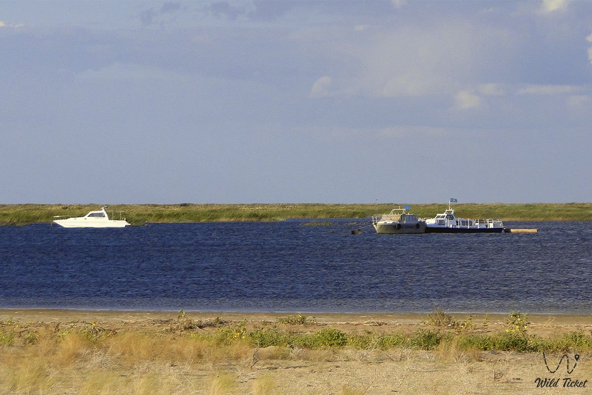
Before this, several unsuccessful attempts were made to block the bay, but storm waves completely destroyed the temporary dams each time. The commissioning of the capital structure turned the Northern Aral from a bitter-salty undrained water body into a semi-flowing one, launching a unique and important process of gradual washing of salt out of the lake. There are two famous bays in the sea, these are Shevchenko Bay and Butakov Bay.
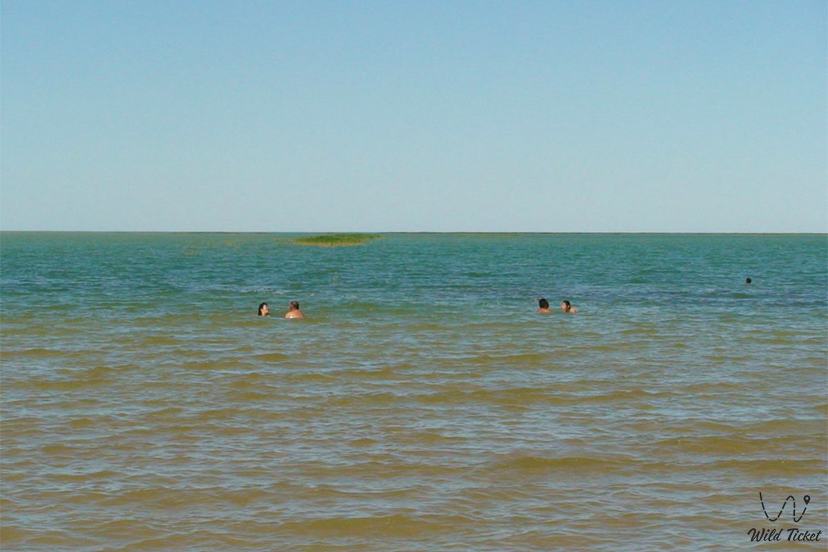
Today, the Small Aral Sea is recognized as an essential ecological, research, and tourist destination in the Aral region. It is part of the Aral Geopark, which seeks to join the UNESCO Global Geoparks Network. Near the sea is the Barsakelmes Nature Reserve. International expeditions on SUVs, scientists, ornithologists, and eco-tourists rush here, wishing to see with their own eyes the restored mirror of the sea in the middle of the salt marsh semi-deserts of the new Aralkum Desert. It is best to travel to the Small Aral from the city of Aralsk or the village of Ayteke Bi.
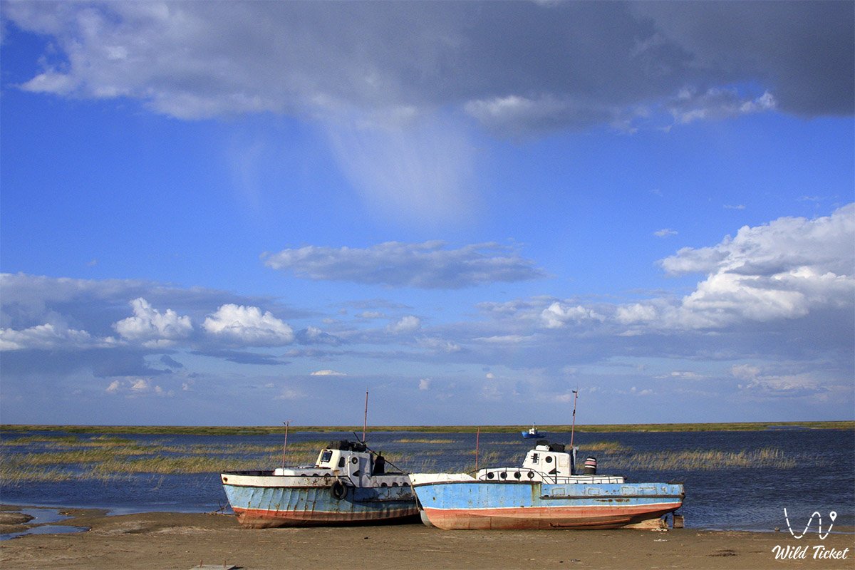
Travelers explore picturesque coastal locations, visit ancient flooded settlements, and get acquainted with the lifestyle of revived fishing villages that have moved from the stage of survival to sustainable economic development. There are such interesting settlements to visit on the sea, these are the Tastubek fishing village and the remote Akespe village, which is famous for its healing Istyk-Su geothermal spring.
Link to programs on the Small Aral Sea.
---------------------------------------------
How to get there and visit -
The Small Aral Sea is located in the Aral depression in the southwest of Kazakhstan in the Kyzylorda region. The main logistics points and strong bases on its coast are the fishing villages of Tastubek (located on the Koktyrnak peninsula), Akespe, Karateren, and Akbasty.
The distance from the city of Aralsk to the key sectors of the coast is about 90–120 kilometers.
GPS geographical coordinates: 46°26'43"N 60°43'32"E
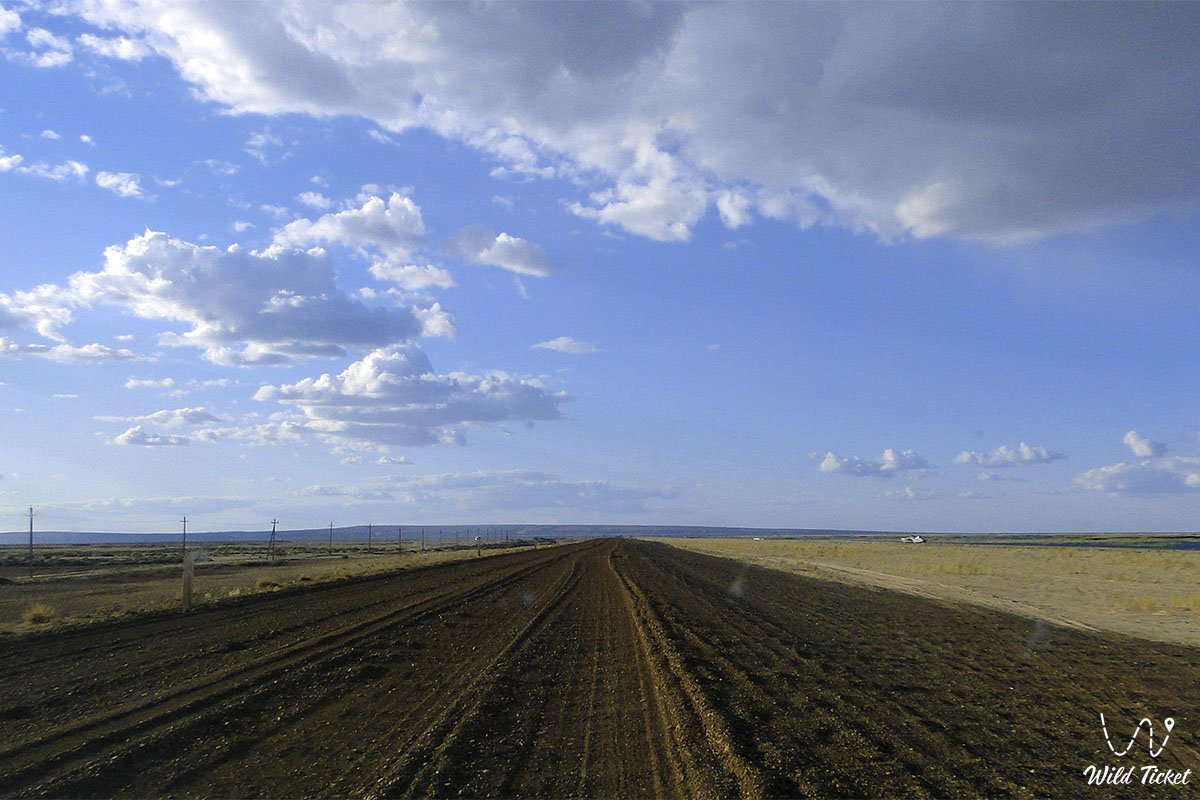
The transport logistics of this desert coastal region completely exclude regular bus service – there is no passenger public transport to the shores of the Small Aral. Independent tourists reach the Aralsk or Saksaul stations by train, where they hire local guides with four-wheel-drive SUVs at the stations.
From Kyzylorda to Aralsk, the journey by car is more than 500 kilometers along the international highway "Western Europe – Western China", after which difficult off-road sections begin, consisting of a grader, salt marshes, and sand ruts.
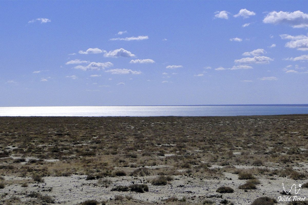
Only a prepared four-wheel-drive SUV (4x4 jeep) with high cross-country capability is suitable for a full expedition along the coast. The terrain abounds in treacherous salt marshes, takyrs, and quicksands, which become absolutely impassable after precipitation (the average annual level of which is 231 mm).
It is categorically forbidden to head along the bottom and shores of the sea in a single car – there must be at least two SUVs in the group. It is necessary to take satellite navigators, durable shovels, dynamic ropes, additional fuel canisters, and a large supply of fresh drinking water with you.
The trip is recommended to be planned for the spring months (April – May) or early autumn (September – October). In summer, exhausting heat dominates the region (the average July temperature reaches 32°C), and in winter, severe freezing winds down to -10°C and blizzards blow.
All tent camps are set up by auto tourists independently in wild field conditions (popular overnight stay places are the Shoshkaly tract, the Kaltybay mountains, or the Kelmes tract). It is possible to replenish fresh water supplies and arrange an overnight stay in guesthouses directly with local residents in coastal villages.
---------------------------------------------
History
The history of the Small Aral Sea is a chronicle of dramatic climatic and anthropogenic changes. Back in the middle of the 20th century, the great Aral occupied the fourth place in the world in terms of area, spilling over almost 70 thousand square kilometers (in some sources – 54 thousand sq. km). However, the irrational and total use of water resources of the Syr Darya and Amu Darya rivers for irrigating fields for cotton and rice in Central Asia led to a global catastrophe: the Aral lost three-quarters of its volume and more than half of its water surface. The sea left for kilometers, prosperous ports turned into salt deserts, and the port infrastructure of cities perished. There were serious plans to disband the region, factories closed, and residents left their homes en masse.
The turning point was the implementation of a large-scale state project "Regulation of the Syr Darya River Bed and Preservation of the Northern Part of the Aral Sea" (SYRDARYA) with a total cost of 85.79 million dollars, of which 64.5 million was a World Bank loan, and the rest was allocated from the republican budget.
The 13-kilometer concrete Kokaral Dam erected in 2005 blocked the exit of fresh flow into the Large Aral. In two years, the Small Aral was almost completely filled with water, covering 870 square kilometers of the dried seabed. If earlier the city of Aralsk and the sea were separated by 70 kilometers of lifeless land, today this distance has been reduced to 17 kilometers, returning hope and economic stability to coastal villages.
Information
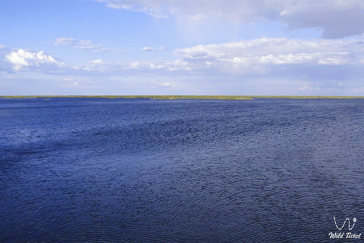
The hydrological and ecological characteristics of the Small Aral Sea demonstrate a stable trend towards the full restoration of the biosphere. The volume of water in the lake reached 27.1 cubic kilometers, and the level fixed at around 41–42 meters according to the Baltic system. The total mineralization and salinity of the water dropped significantly: if in 2004 the salt content was 23 grams per liter (23%), then by 2009–2010 this indicator decreased to 9–12 ppm. Desalination is slow due to the fact that the Syr Darya delta is located near the dam, which restrains active circulation of masses throughout the water area, but the semi-flowing regime contributes to the gradual washing out of salts.
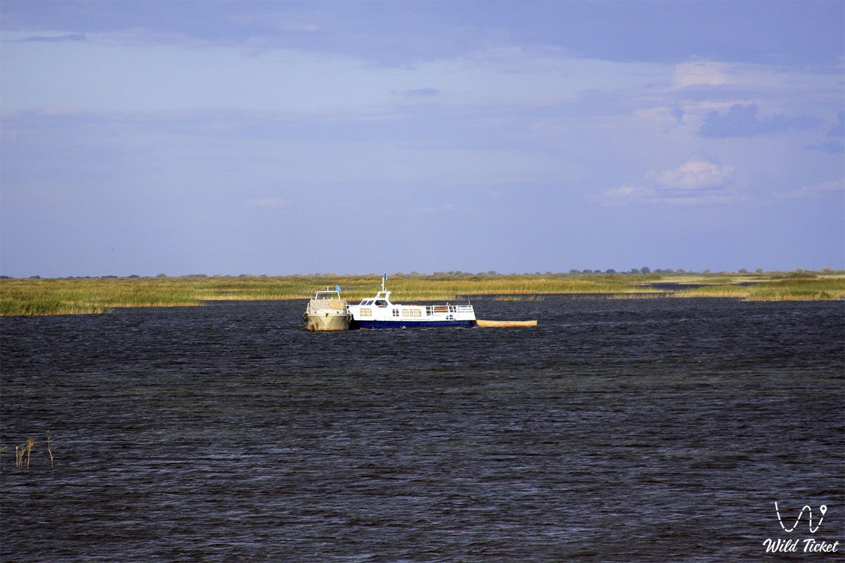
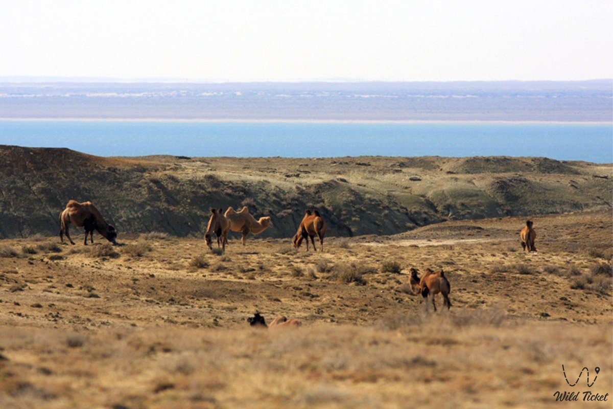
Such an environmental improvement cardinally changed the composition of the ichthyo-fauna. If in critical years the salty water was suitable only for the flounder Glossa, today more than 20 fish species inhabit the Small Aral, including carp, bream, and sturgeon released from the fish hatchery. The commercial fish catch grew from a negligible 400 kilograms in the early 1990s to 11 thousand tons. Within the framework of the promising SYRDARYA-2 project, it is planned to increase the Kokaral Dam to 44–48 meters on the Baltic scale and transfer the spillway to Shevchenko Bay. This will increase the sea mirror to 3.9–4.6 thousand sq. km, lower mineralization to 8 g/l, and water volumes will grow to 59 cubic kilometers, which will allow the waters to approach the former port of Aralsk to a distance of only 1 kilometer.
Detailed description of the venue
The well-thought-out infrastructure of the natural and historical complex of the Small Aral Sea includes the following original locations and geographical features:
• Kokaral protective dam (embankment) – a concrete hydrotechnical structure 13 kilometers long on the Berg Isthmus with a crest height of 6 meters, holding and regulating the water balance of the Northern Aral.
• Butakov Bay – the deep-water northeastern water area of the sea of hilly relief, located between the Shubartarauz and Koktyrnak peninsulas, characterized by increased salinity.
• Shevchenko Bay (former Paskevich) – the westernmost and most isolated part of the Small Aral with a maximum depth of up to 19 meters, where it is planned to transfer the future spillway.
• Bolshoy Saryshyganak Bay – an extensive water sector on whose former historical shore the city of Aralsk is located.
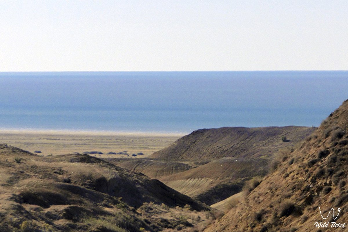
• Dried Zhalanash Bay – a coastal zone completely dehydrated by 2010, on whose salty bottom the Zhalanash settlement and the historical "cemetery of rusty ships" are located.
• Koktyrnak Peninsula – a sandy-hilly land mass in the northeastern part of the sea, near whose borders the fishing brigades of the Tastubek village are based.
• Malyye Barsuki Sands – a large desert massif of golden dunes that closely adjoins the coastline of the Small Aral near the Akespe village from the north.
• Flooded Aral-Asar ancient settlement – a unique medieval archaeological complex of the 14th century with an area of 6 hectares, located on the dried sections of the former seabed.
Architecture
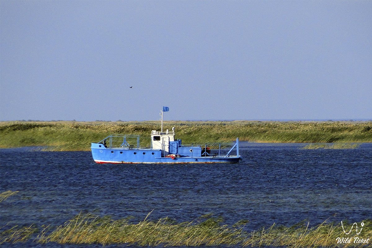
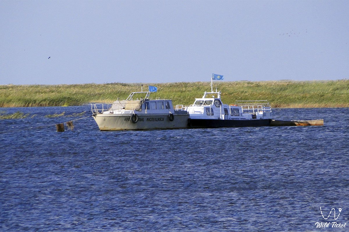
The architectural and engineering ensemble of the Small Aral Sea region is represented by specialized hydrotechnical structures and coastal civil buildings. The main engineering dominant is the Kokaral Dam, whose embankment construction and spillway sluices provide redistribution of water masses and protection of the northern basin from complete shallowing. Along the coast in fishing villages (Tastubek, Karateren, Akbasty), houses are built by local residents from traditional eco-friendly adobe with adobe-brick cladding, which guarantees excellent thermal insulation in a sharply continental climate. Modern industrial infrastructure elements are the opened coastal fish processing plants and fish reception points equipped with powerful refrigeration units, as well as tall navigation masts and cellular communication towers providing safety for fishermen during their entry into the open sea.
Legend
The Aral land, which for centuries hid its secrets under the thickness of sea waves, is shrouded in many amazing traditions. The main legend of the Small Aral is considered the story of the "Steppe Atlantis" – ancient settlements that the sea first swallowed and centuries later returned to people. Steppe aksakals say that the Aral possesses a living mind and memory: it leaves when people stop appreciating and preserving its life-giving moisture, and returns as a reward to those who remain loyal to their native land.
Among travelers and jeep tour guides lives a belief about old lighthouses (such as the Karotas marine lighthouse on the Duat hill) that helped ships overcome the dangerous Berg Isthmus during the Soviet years. They say that if you look into the distant panorama of Butakov Bay from the slopes of the Akespe chalk cliffs at sunset, you can catch the ghostly gleam of gold jewelry in the animal style of the Tengrian era and hear the sound of the waves of the ancient Blue Sea carefully preserving the peace of departed medieval civilizations.
Conclusion
The Small Aral Sea is a magnificent historical bridge connecting the tragic pages of past ecological crises with modern successful economic, scientific, and tourist development of the Kyzylorda region. Stabilization of the reservoir level allowed not only reanimating the fishery but also opened colossal prospects for the development of extreme, paleontological, and ecological tourism in Kazakhstan.
The Northern Aral remains an essential reference point for international expeditions and scientific-local history routes. Automobile tours on SUVs give each traveler an opportunity to personally touch the harsh beauty of the coastal semi-desert, see the results of a grandiose revival of nature, and feel the indestructible spirit of local residents.
Interesting sights nearby Austerity:
• Lake Kambash (Kamystybas);
• Barsakelmes Island;
• Bogen village;
• Kerderi Mausoleum;
• Aral-Asar ancient settlement;
• Begim-Ana Tower;
• Saraman-Kosa Tower;
• Tolybay Batyr Mausoleum;
• Basibek Mausoleum;
• Raim Fort.
Photogallery: