Unique hydrographic object, natural symbol of environmental changes -
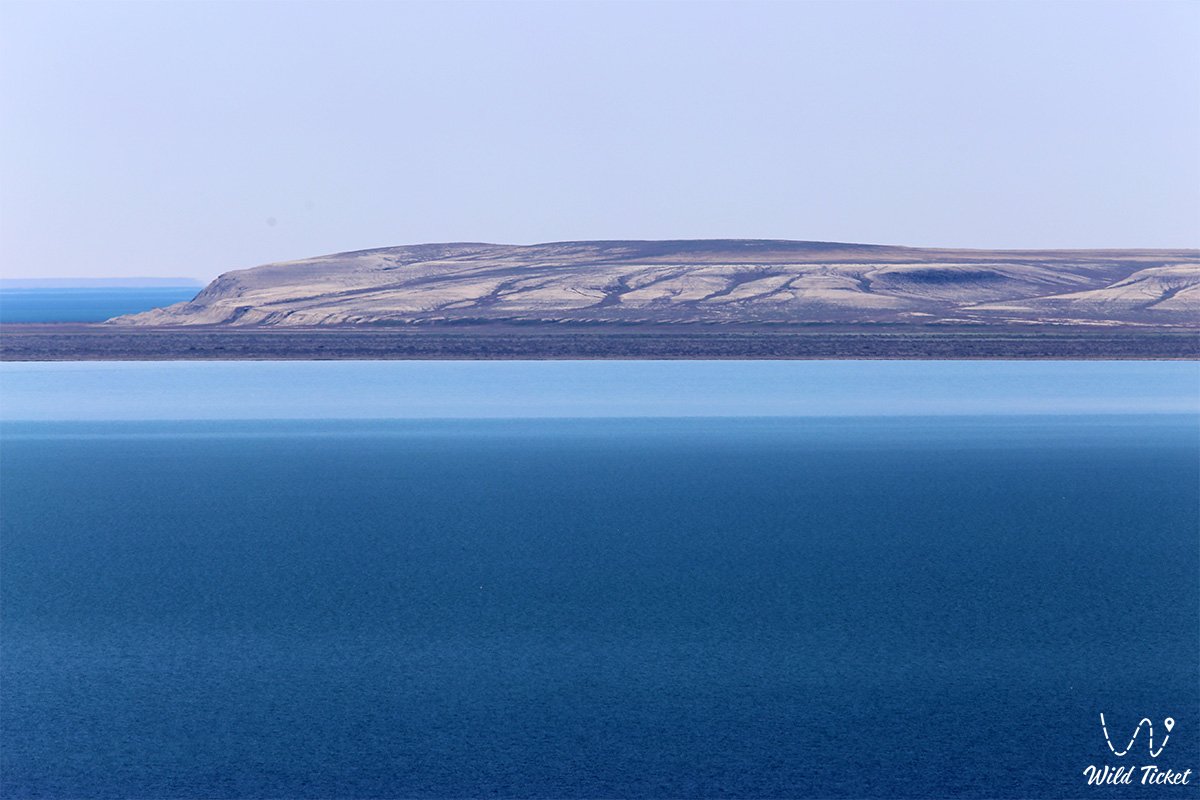
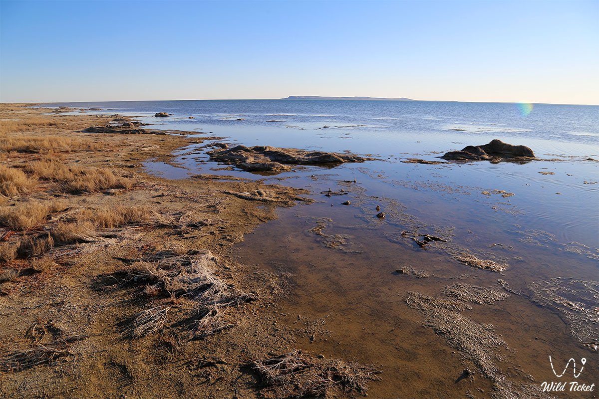
Butakov Bay (formerly – Perovsky Bay) is an outstanding geographical and hydrographic object in the Aral district of the Kyzylorda region of Kazakhstan, located in the northernmost part of the Small Aral Sea. The water area lies between the Shubartarauz (Shubartarys) peninsulas (in some sources – cliffs) in the south and Koktyrnak in the east.
This unique natural sector serves as an essential platform for studying the influence of anthropogenic and natural factors on the ecosystems of the region, visually demonstrating the power of climate change and the scale of the environmental transformation of the Aral region. The surrounding area attracts researchers, scientists, and ecological tourists from all over the world due to its paleontological significance and unique natural landscapes. Near the bay is the Akespe village, where one can stay, and the Istyk-Su geothermal water spring, where one can take a radon bath.
Initially, the bay received its name in honor of Vasily Alekseevich Perovsky, the military governor of Orenburg. Subsequently, it was renamed in honor of the outstanding naval officer, rear admiral, and explorer of the Aral Sea Alexei Ivanovich Butakov, who in 1848 led the first scientific expedition to the Aral Sea and compiled a navigation chart of the area.
Before the significant lowering of the water level, the extent of the bay's water surface from west to east was about 40 kilometers, and the widest part reached 20 kilometers. Due to the drying up of the reservoir, its dimensions were substantially reduced: according to a 1997 estimate, the length decreased to 20 kilometers, and the width to 3–4 kilometers.
At the beginning of 2020, the length of the bay from southeast to northwest was recorded at 23.7 kilometers, the width in the eastern part was 11.2 kilometers, and in the western part – 5.7 kilometers, while it is separated from the rest of the sea by a small strait 2–2.5 kilometers wide.
Today, Butakov Bay is part of the Aral Geopark, which seeks to join the UNESCO Global Geoparks Network, and is an important point on expeditionary and scientific-educational routes.
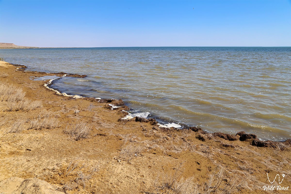
The high salinity of the water, which in 2005 was 24–27 g/l, significantly exceeds the average indicators of the Northern Aral Sea, indicating deep changes in the water balance. Nevertheless, stable micro-ecosystems have been preserved here: studies of benthic organisms (benthos) recorded a high abundance of almost all organisms typical of the Aral Sea, which inspires cautious optimism regarding the future biological recovery of the region.
---------------------------------------------
How to get there and visit -
Butakov Bay is located in the northernmost water area of the Small Aral Sea, Aral district, Kyzylorda region, Republic of Kazakhstan.
On its western coast, just 1.5–3 kilometers from the current shore, lies the village of Akespe, and in the southeastern direction is the Tastubek settlement. The distance from the city of Aralsk to the coast of the bay is about 120 kilometers.
GPS geographical coordinates: 46°43'35"N 60°40'22"E
The transport logistics of this wild sector completely exclude urban public transport – regular buses to the bay do not run. Travelers can take a train to the city of Aralsk or the Saksaul station, where they can hire local taxi drivers at the stations.
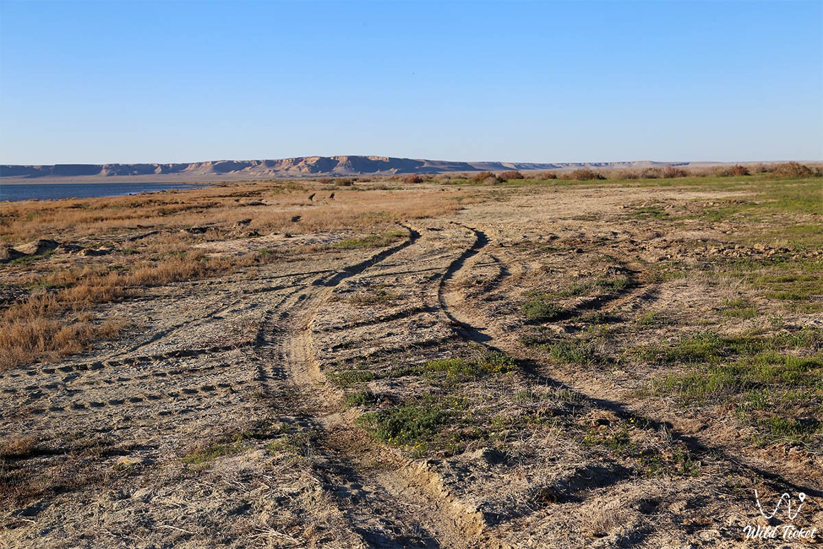
When traveling by car from Kyzylorda, the route first runs along the smooth international highway "Western Europe – Western China" (more than 500 kilometers to Aralsk), after which the last 50 kilometers before Akespe must be covered in conditions of complete off-road.
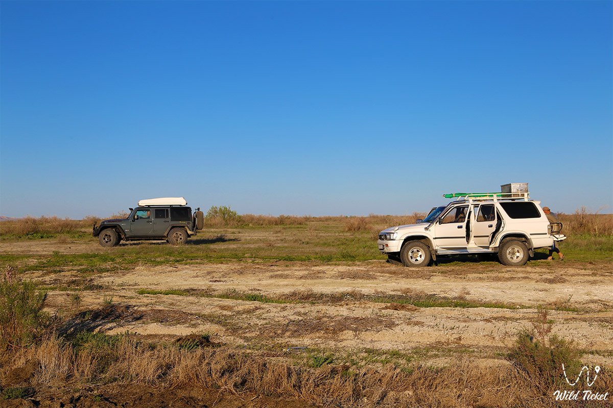
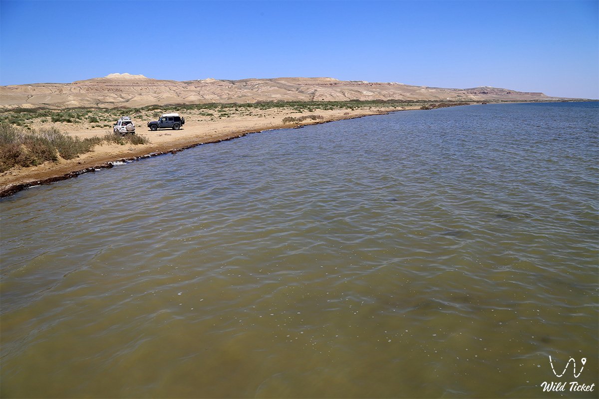
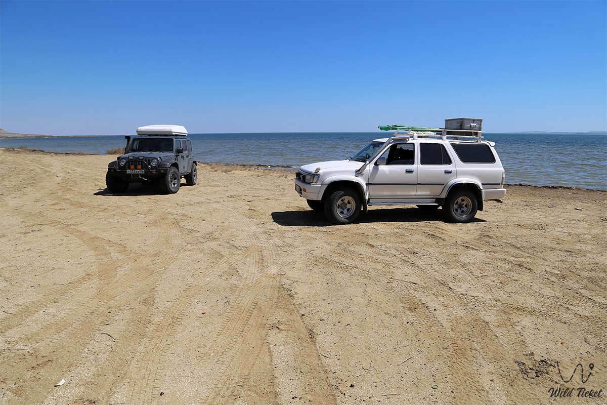
Only a prepared four-wheel-drive SUV (4x4 jeep) with high cross-country capability is suitable for a trip to the bay. Due to harsh conditions, hilly relief, and an abundance of salt marshes, which wash out and become impassable after rare precipitation, it is categorically not recommended to travel alone in a single car.
At least two vehicles must go on an expedition for mutual assistance and safety. Drivers must carry satellite navigators, reliable shovels, tow ropes, additional fuel, and a large supply of fresh drinking water.
Opening hours: the water area of the bay and the adjacent coast are available for visits around the clock and all year round. Access to the territory and entry of vehicles are completely free; no ticket offices, tickets, paid checkpoints, or environmental fees are provided here.
The trip is recommended to be planned for the spring period or early autumn (for example, October). In summer, severe heat prevails in the region (the average July temperature is 32°C), which makes the journey physically difficult.
All tent camps are organized by expeditions independently in wild conditions. If desired, tourists can stay overnight or order a home-cooked lunch from local residents in the guesthouses of the new Akespe settlement.
---------------------------------------------
History
The history of Butakov Bay reflects the dramatic chronicles of the Aral environmental disaster. In the middle of the 19th century, namely in 1848, the bay became the object of the first large-scale scientific expedition led by Alexei Butakov, whose compiled navigation chart was successfully used by domestic mariners until the 1950s. In those days, the bay was full-flowing, the shores were used for fishing, and the adjacent crust was formed by centuries-old geological deposits of the Cretaceous, Paleogene, Neogene, and Quaternary periods.
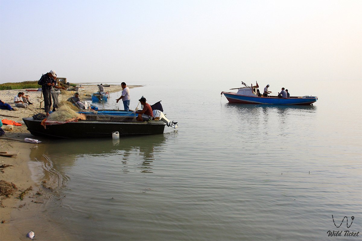
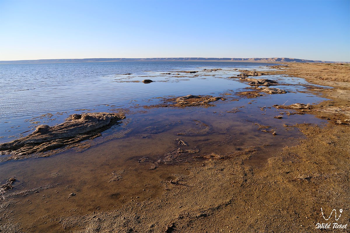
Since the end of the 20th century, due to the falling water level, the sea has retreated from its historical boundaries, leaving behind desert plains covered with salt. Coastal settlements found themselves under threat of disappearance and were buried by moving sands in a matter of years, forcing people to move their villages to new places. Today, Butakov Bay is maintained in a stable condition as part of the Small Aral Sea, preserving unique paleontological strata and benthic ecosystems important for global geographical science.
Information
A cold steppe climate prevails in the region with an average annual temperature of about 9°C. The warmest month is July (+32°C), and the coldest is February, when the temperature drops to -10°C. The average annual precipitation is only 231 millimeters, while March is recognized as the wettest month (an average of 49 mm), and September is the driest and most comfortable for steppe trips (only 9 mm of precipitation falls).
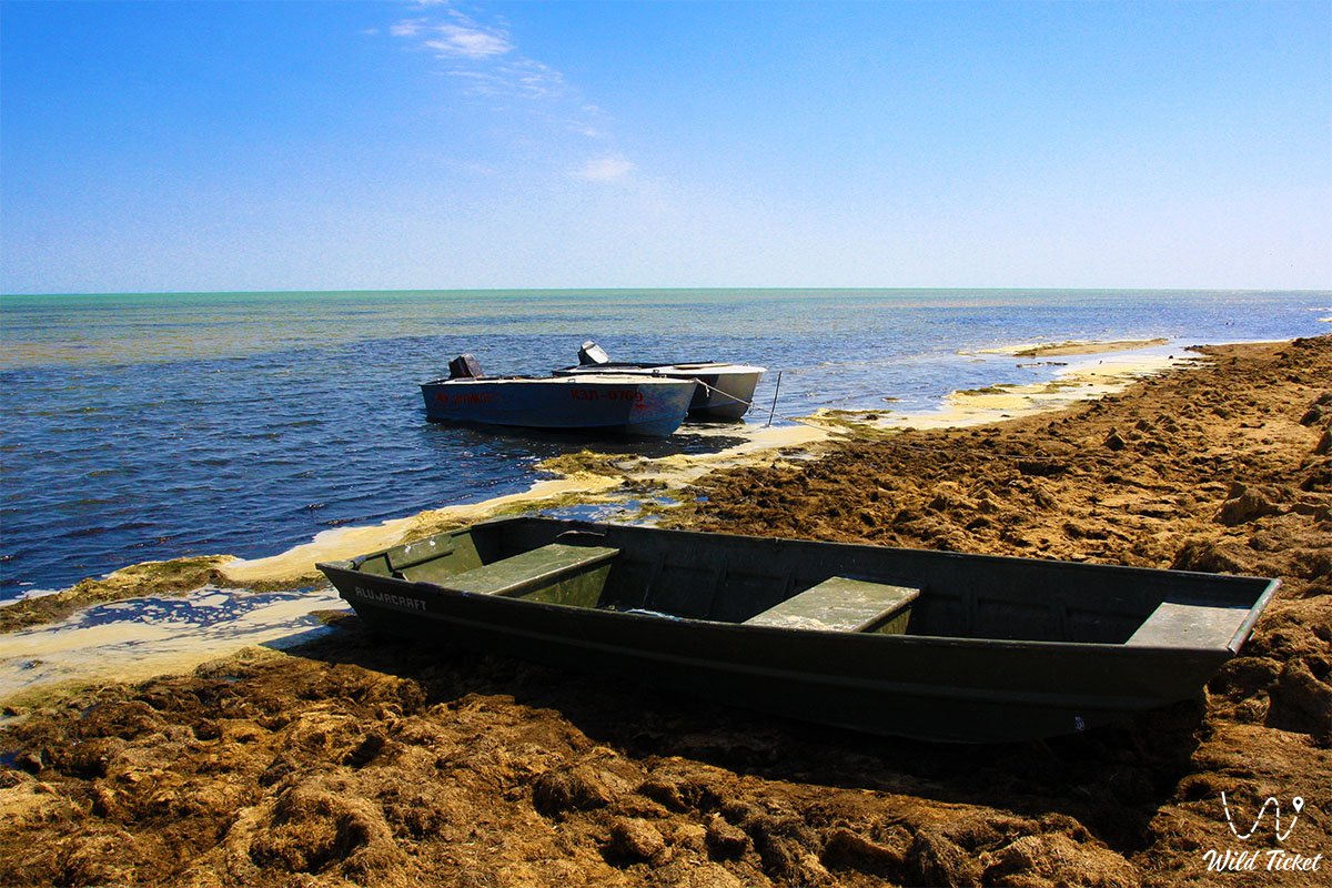
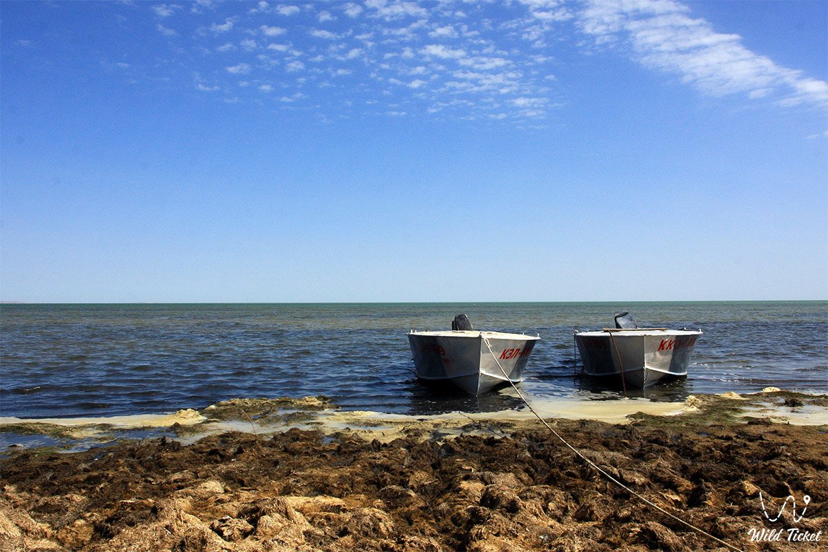
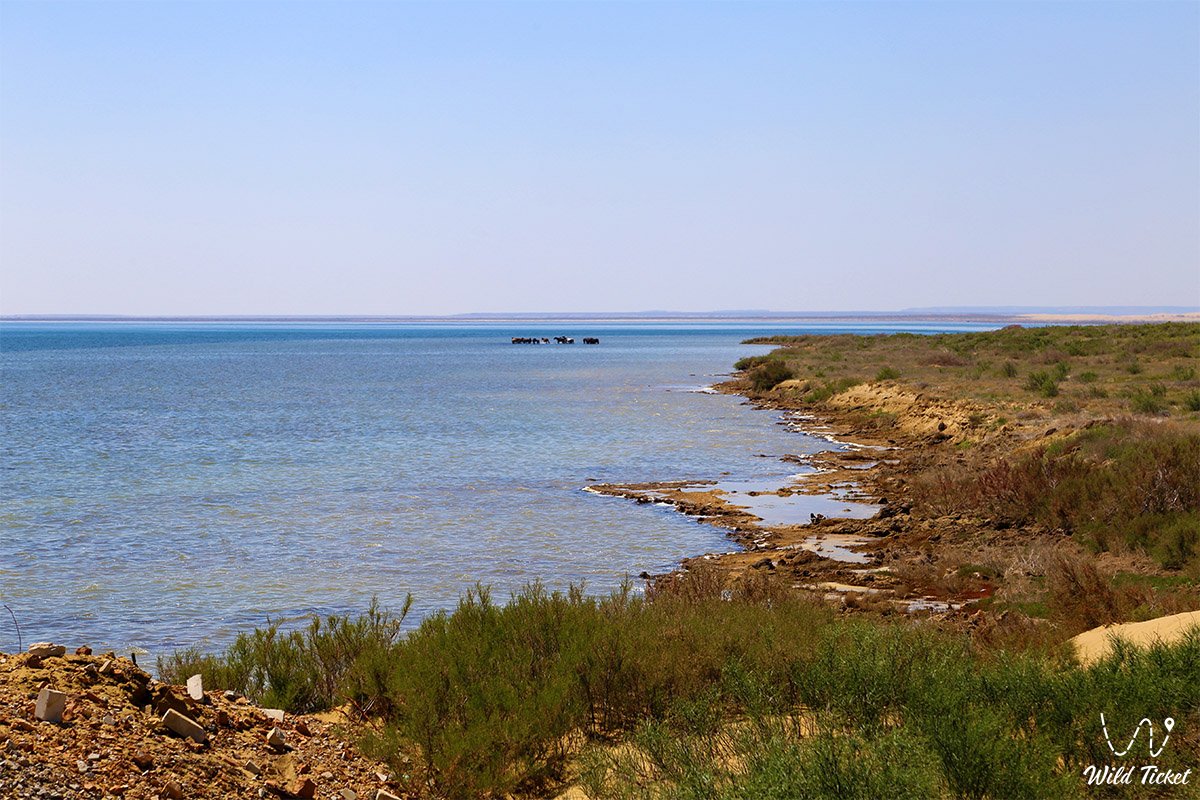
The coast of the bay is distinguished by landscape diversity: its northern side is steep and precipitous, while the southwestern part is gentle, low-lying, and marshy. The surroundings are characterized by a hilly relief with a predominance of takyrs, solonetz, and solonchak soils. The coastal flora is represented by plants typical of the semi-desert zone: reeds, chee grass, and saxaul shrubs grow here.
Detailed description of the venue
The well-thought-out infrastructure of the natural and historical complex includes the following original locations and geographical features:
• Steep northern shore – a precipitous coastal line of the bay adjacent to the hilly relief and used as a panoramic point for viewing the water area.
• Low-lying southwestern coast – a gentle, partially marshy coastal sector where reeds and chee grass grow.
• Malyye Barsuki Sands – a large desert massif that closely approaches the boundaries of Butakov Bay from the northern side.
• Unique connecting strait – a water corridor 2–2.5 kilometers wide separating the inner part of the bay from the main basin of the Small Aral Sea.
• Moving sand dunes – coastal dunes of golden sand near the Akespe village constantly changing their outlines under the influence of steppe winds.
• Aral paleofauna in the Akespe tract – a world-famous paleontological burial of the Oligocene epoch aged 25–26 million years discovered in 1925 on the coast of the bay.
Architecture
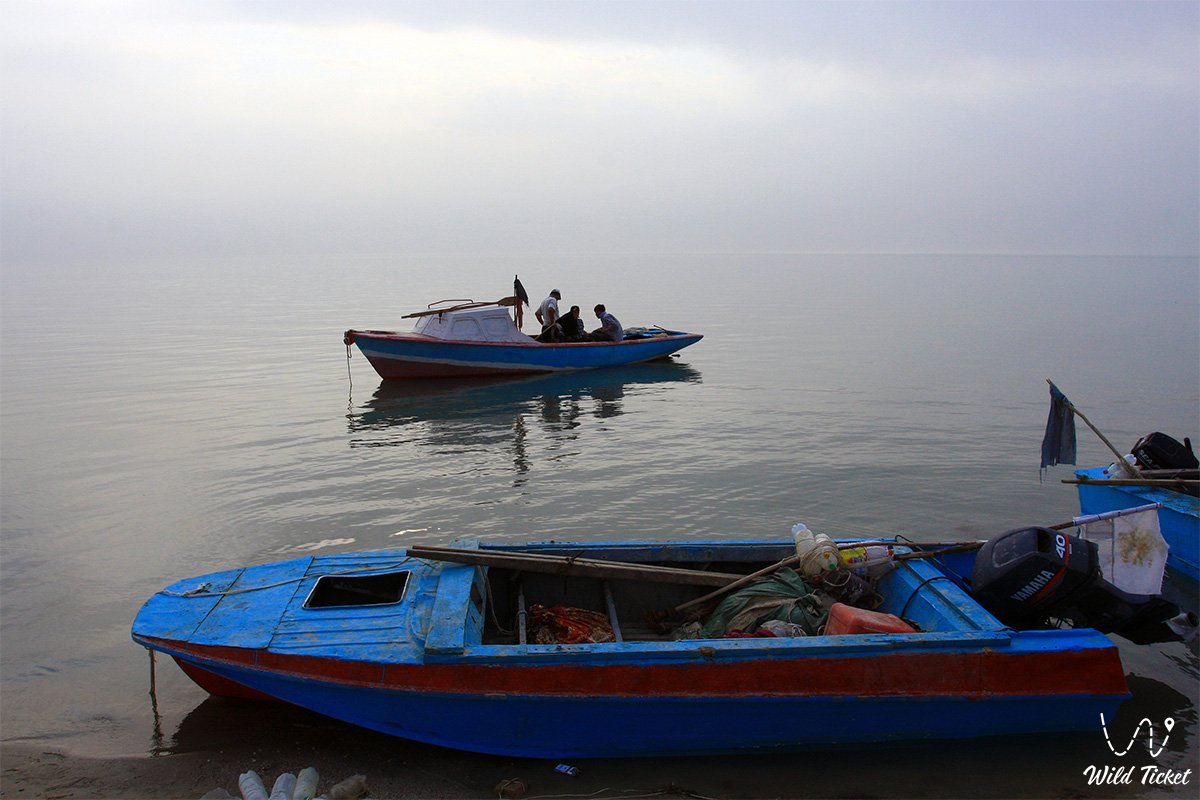
The architectural and engineering ensemble of the Butakov Bay area is represented by functional objects created for human adaptation to the harsh climate. In the residential sector of the new coastal villages, houses are built of adobe and adobe-brick cladding, which provides excellent thermal insulation during summer heat and winter blizzards. Engineering dominants of the coast are modern fish reception points equipped with powerful stationary refrigeration units to preserve the catch, as well as tall masts of cellular communication antennas providing navigational safety for expedition groups.
The most important hydrotechnical structure of the region affecting the state of the bay is the nearby Kokaral Dam, whose regulating sluices maintain the water balance of the Small Aral Sea.
Legend
Although Butakov Bay itself is studied primarily from an academic and ecological point of view, its coast stores the memory of outstanding scientific discoveries of the past. Local residents pass down stories about the paleontological expeditions of the Institute of Paleontology of the Academy of Sciences of the USSR and the Institute of Zoology of the Academy of Sciences of the Republic of Kazakhstan, whose excavations in the 20th century resembled real adventures. The main legend of these places has become the search for fossils of prehistoric giants that lived here millions of years ago.
Among scientists and guides, they still talk about the famous find of 1933. Then, a unique, almost complete skull of a giant Oligocene rhinoceros resembling an indricotherium – the ancient master of the Turgai plain – was discovered on the coast.
Unfortunately, the second skull found was accidentally damaged during difficult excavations. This fact gives the story of the scientists a touch of drama.
Local chalk cliffs still attract researchers and travelers, because the Aral land keeps the secrets of the ancient biosphere of the Earth. Fossilized remains of prehistoric squirrels, rodents, predators, and land tortoises lie in these layers. Also found here are ancient bivalve mollusks and teeth of prehistoric sand sharks of the genus Odontaspis.
Conclusion
Butakov Bay is a magnificent historical bridge connecting the era of the first geographical discoveries of Rear Admiral Butakov with modern ecological, scientific-local history, and adventure tourism in the Kyzylorda region. A visit to this desert mirror allows travelers to see firsthand the consequences of large-scale climate changes, appreciate the perseverance of coastal residents, and touch the ancient paleontological history captured in Oligocene sediments.
The bay remains an essential reference point for extreme auto expeditions and ecological tours in the Aral district. Jeep tour routes invariably include this panoramic point in their programs, giving everyone the opportunity to personally see the silent witness of great steppe history and feel the harsh beauty of wild nature.
Interesting sights nearby:
• Barsakelmes Nature Reserve;
• Shevchenko Bay;
• Akbasty village;
• Tastubek village.
Photogallery: