Journey to the North Small Aral Sea from the city of Aralsk -
The ecological catastrophe of the Aral Sea represents one of the most large-scale and dramatic anthropogenic disasters in modern human history. As recently as the mid-twentieth century, the Aral was the fourth-largest endorheic inland lake-sea on the planet, trailing in surface area only the Caspian Sea, Lake Superior in North America, and Lake Victoria in Africa.
The water area of the sea covered approximately 68,000 square kilometers, the water volume exceeded 1,080 cubic kilometers, and the average annual commercial catch of valuable fish species exceeded 40–50 thousand tons.
Located on the border of Kazakhstan and Uzbekistan, the Aral Sea served as a gigantic natural thermoregulator and biological oasis in the heart of the arid Turan Lowland. However, the implementation in the 1960s of the Soviet program for the accelerated development of cotton and rice cultivation in Central Asia and Southern Kazakhstan led to the near-total diversion of the runoff of its two primary feeding rivers – the Syr Darya River and the Amu Darya. Extensive water intake for irrigating millions of hectares of cultivated land through massive, unlined canals (including the Karakum Canal) triggered the rapid regression of the water body.
By the late 1980s, the once-unified sea split into two isolated basins: the North (Small) Aral Sea within Kazakhstan and the South (Large) Aral Sea on the border with Uzbekistan. Subsequently, the Large Aral divided into the Western and Eastern basins and Lake Barsakelmes, with the eastern basin evaporating almost entirely. On the exposed salty bed covering more than 60,000 square kilometers, the planet's youngest sandy-saline desert – the Aralkum Desert – was born.
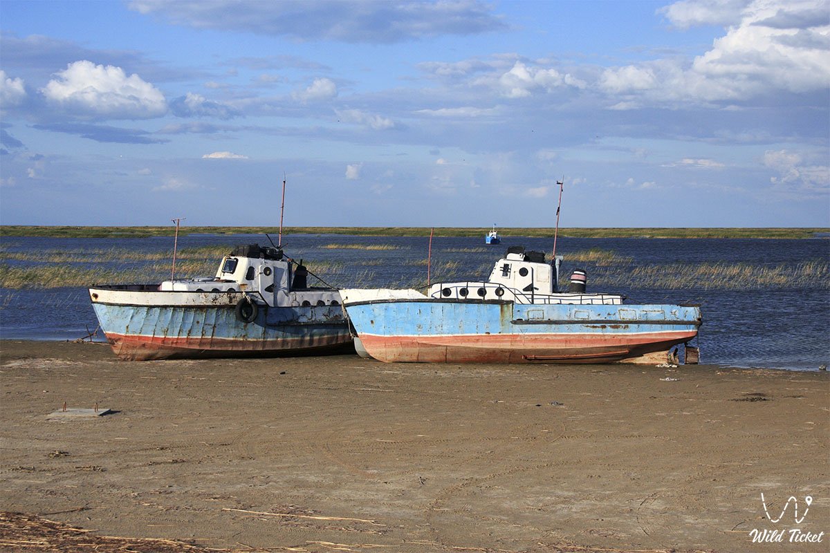
The catastrophe led to the destruction of the climatic buffer, the airborne release of tens of millions of tons of toxic pesticide-laden salt aerosols, the collapse of unique fishing industries, the closure of seaports, and a severe health crisis among the population of Kazakhstan Priaralye. Nevertheless, Kazakhstan's efforts to erect the Kokaral Dam in 2005 proved that revival is possible: the Small Aral filled with living water, salinity plummeted, commercial fish returned to the region, and the city of Aralsk regained hope for a maritime future.
--------------------------------------------
How to get there and visit -
A journey to the sites of the Aral tragedy and the areas of the sea's revival begins in the city of Aralsk (Kyzylorda region of Kazakhstan). Aralsk is situated along the "Western Europe – Western China" international highway (M-32) and the Orenburg – Tashkent railway line, 448 kilometers northwest of Kyzylorda and 380 kilometers southeast of Aktobe.
GPS geographical coordinates of the city of Aralsk (former port): 46°48'12"N 61°39'40"E
GPS geographical coordinates of the Kokaral Dam: 46°06'02"N 60°46'19"E
GPS geographical coordinates of the Barsakelmes tract: 45°38'07"N 59°54'30"E
The transport accessibility of sites in Priaralye is clearly differentiated by difficulty. The city of Aralsk can be reached by any passenger car over excellent asphalt, by scheduled trains, or by intercity buses. However, expeditions to the waters of the Small Aral, the Kokaral Dam in the Berg Strait, Butakov and Shevchenko bays, the Akespe (Istyk-Su) hot springs, and the Barsakelmes tract require a prepared 4x4 expedition off-road vehicle with high ground clearance, reinforced suspension, mud-terrain tires, and a winch.
A critical lethal danger when turning off graded dirt roads is posed by batpaks – salt-marsh quagmires of the dried seabed where a dry salt crust conceals deep, liquid mud – as well as loose sand drifts of the Aralkum Desert. Travel is permitted only as part of a convoy of at least two vehicles equipped with GPS navigation, satellite communications, air compressors, high-lift jacks, sand tracks, a fuel reserve for 600–700 kilometers of autonomous driving, and a drinking water supply of no less than 5 liters per person per day.
The best time to visit is spring (April – May), when the steppe turns green briefly and temperatures reach a comfortable +18...+22 °C, or warm autumn (September – October). During summer months, an exhausting heat exceeding +40...+44 °C settles over the coast and salt flats alongside suffocating aridity and toxic dust storms. In winter, the region is gripped by frosts down to -30...-35 °C accompanied by gale-force blizzards.
Several hotels, a local history museum, and a museum of fisheries operate in the city of Aralsk. In remote fishing auls (Karateren, Akbasty, Tastubek), travelers can stay in guest houses run by local residents or pitch a field tent camp on safe rocky chinks.
--------------------------------------------
History
The historical development of Priaralye over centuries was built on the harmonious coexistence of nomads, oasis farmers, and fishermen. During the Middle Ages, northern branches of the Great Silk Road ran through the lower reaches of the Syr Darya and the Aral, where the cities of Jend, Yangikent (Zhankent), and the medieval water-submerged settlement of Aral-Asar with the Kerderi mausoleums of the 11th–14th centuries flourished.
In 1848–1849, the hydrographic expedition of Alexei Butakov on the schooner "Konstantin", with the participation of the exiled poet Taras Shevchenko, conducted the first comprehensive survey of the Aral Sea. In the early 20th century, with the arrival of the railway in 1905, the seaport of Aralsk was established. A gigantic fishing fleet was formed, ship repair and fish canning plants were built, and Aral fish saved the Volga region and Central Russia from famine in 1921 following V. I. Lenin's direct appeal to the Aral fishermen.
A catastrophic turning point arrived in 1960, when the Soviet leadership embarked on a strategy to achieve total cotton independence for the USSR. Thousands of kilometers of irrigation canals were built across Uzbekistan, Turkmenistan, and Southern Kazakhstan. The Syr Darya and Amu Darya rivers, which together discharged around 56–60 cubic kilometers of water into the sea annually, practically ceased reaching their mouths by the 1970s and 1980s.
Chronicle of shallowing and resistance:
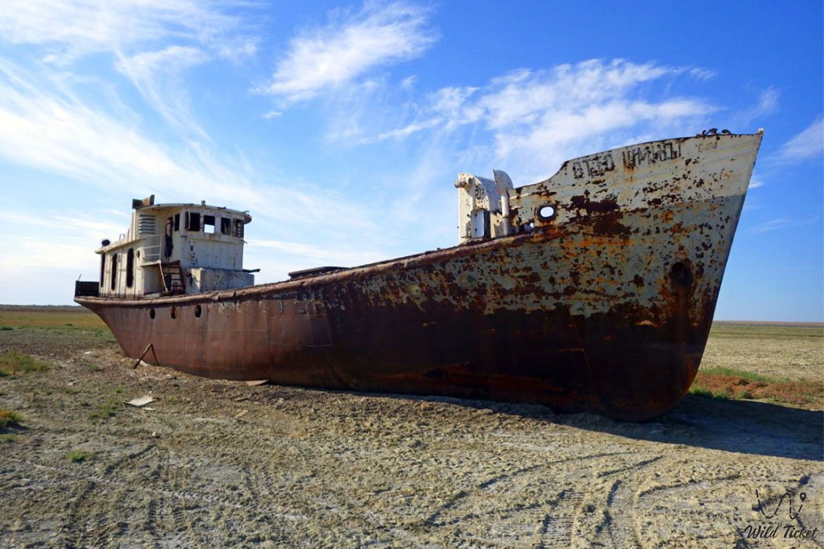
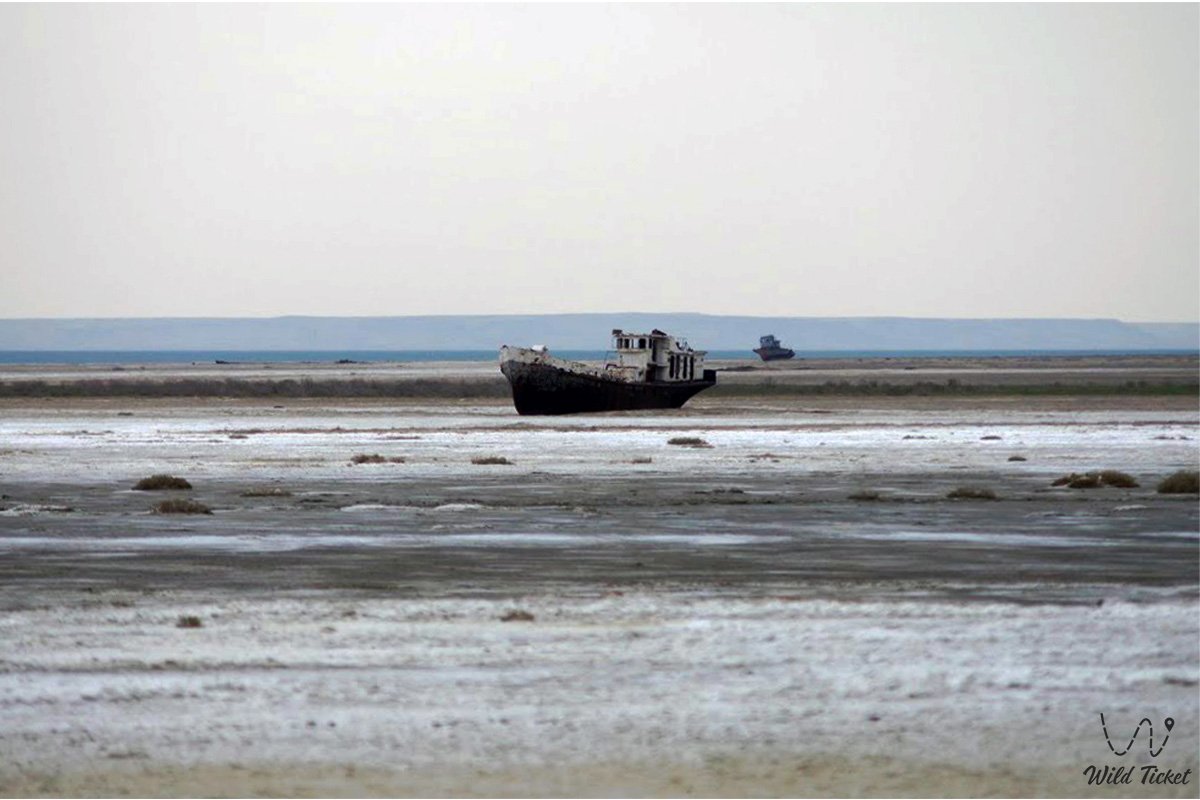
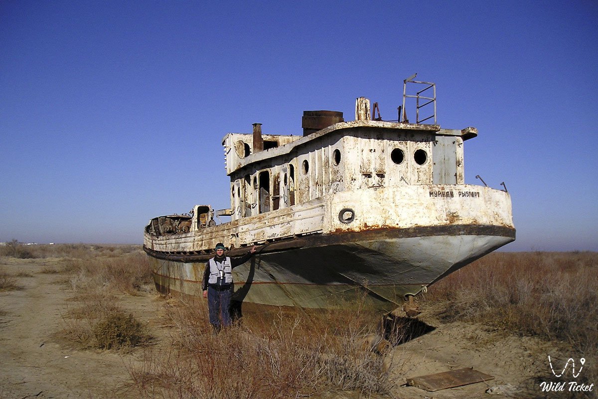
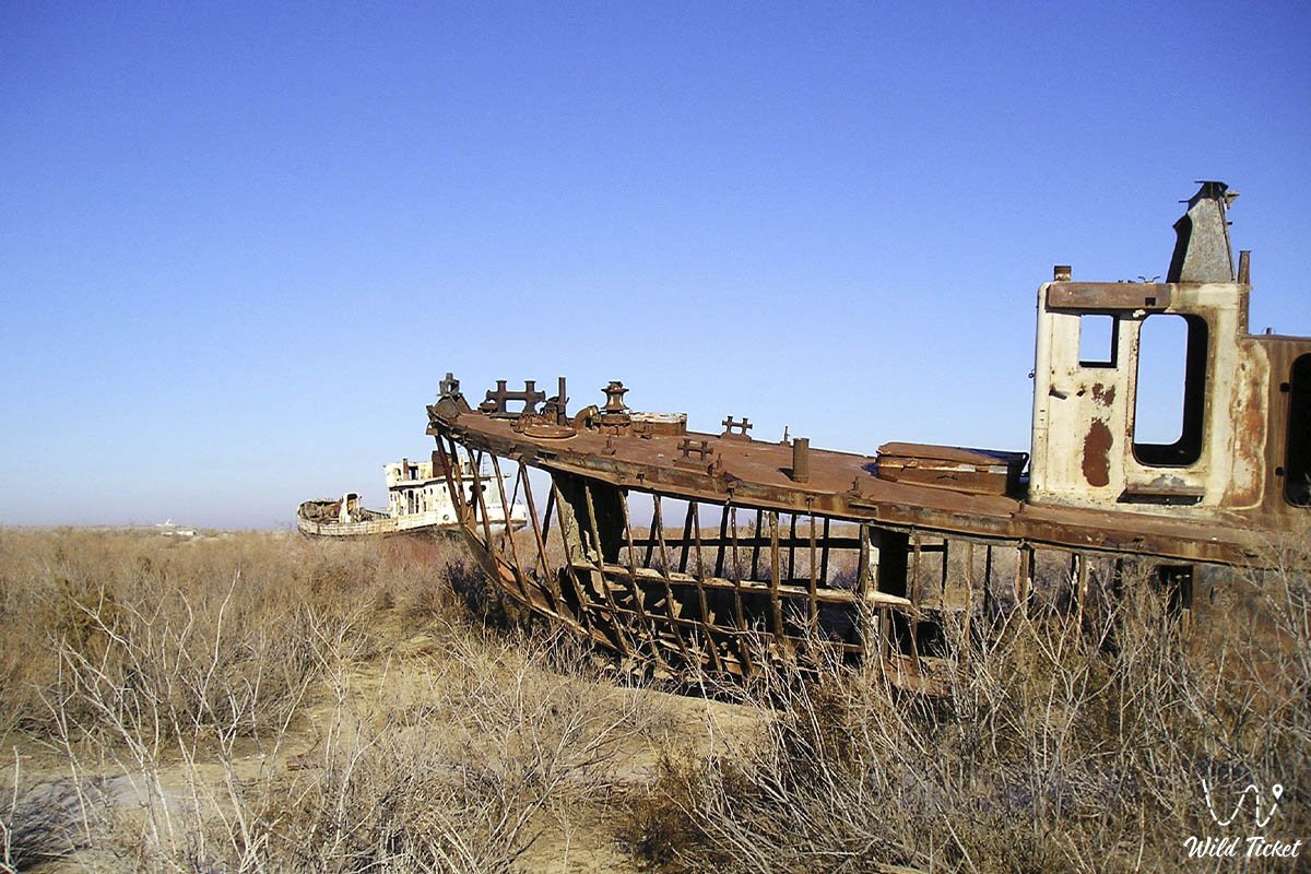
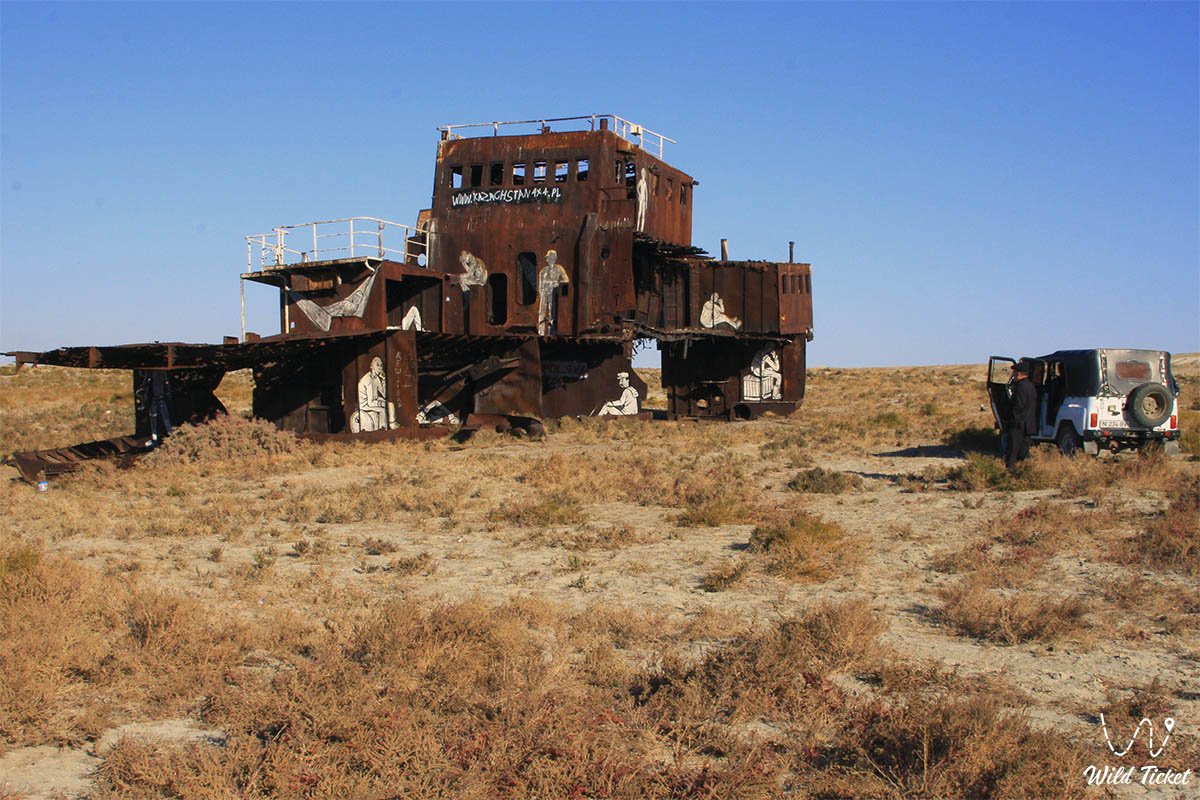
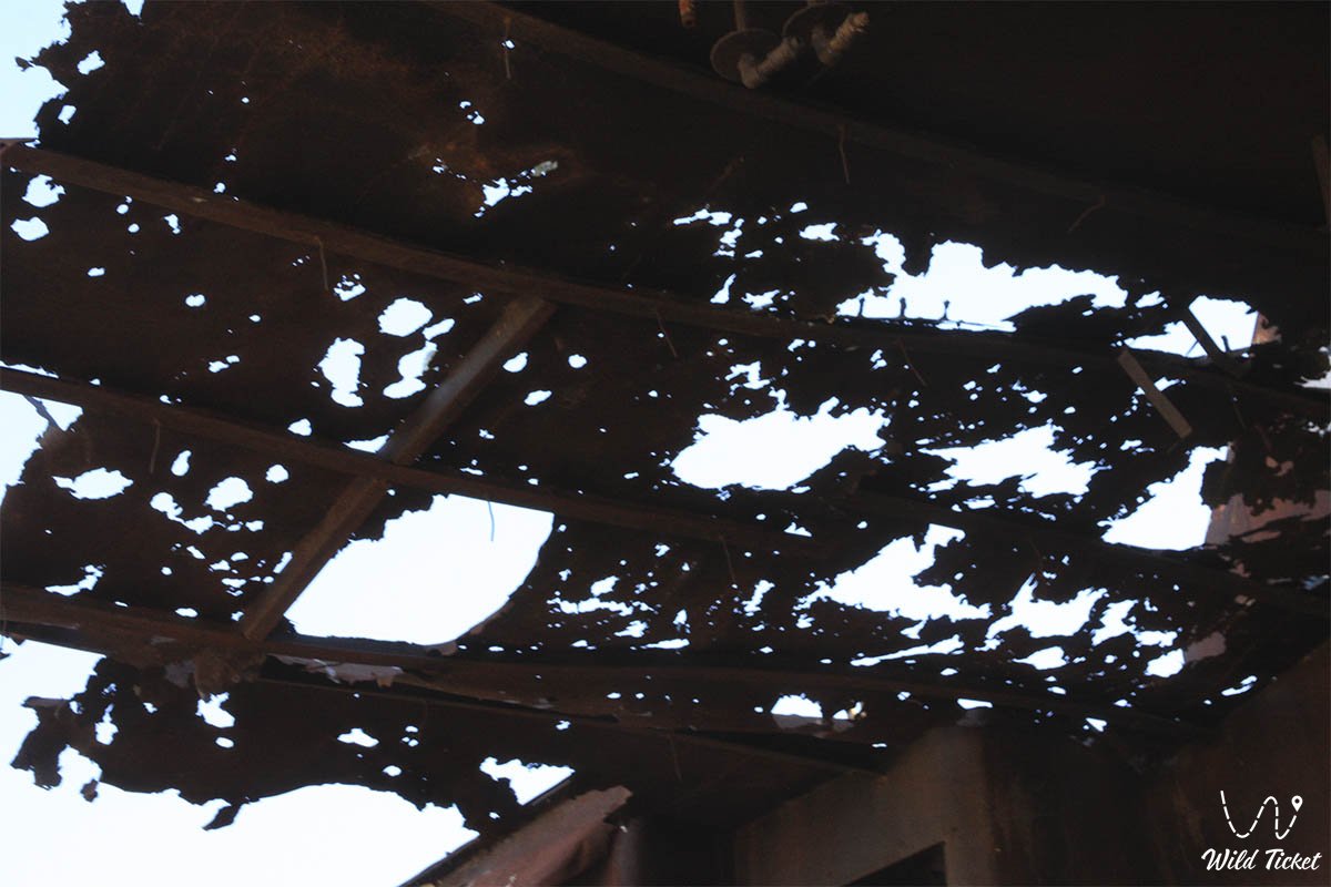
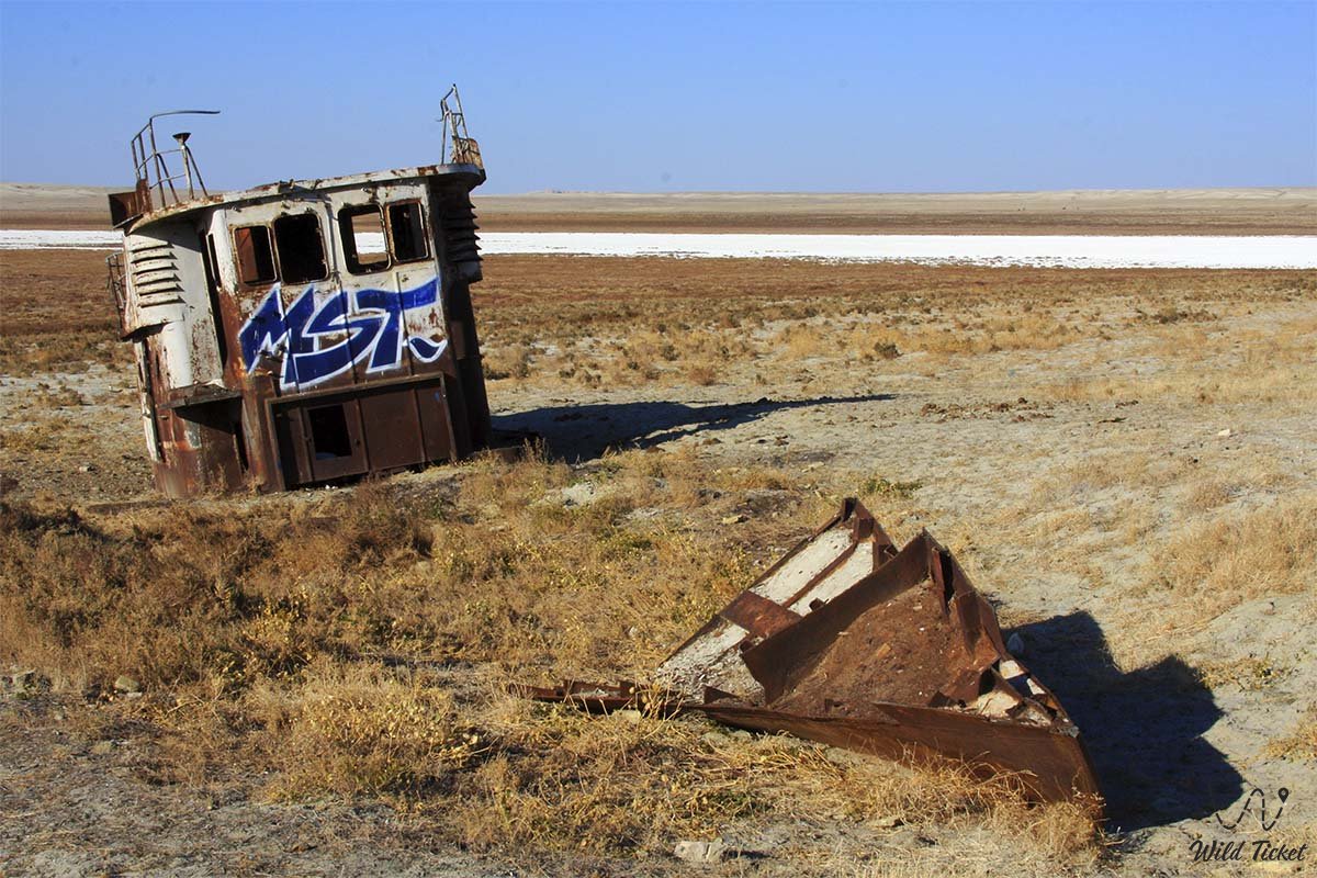
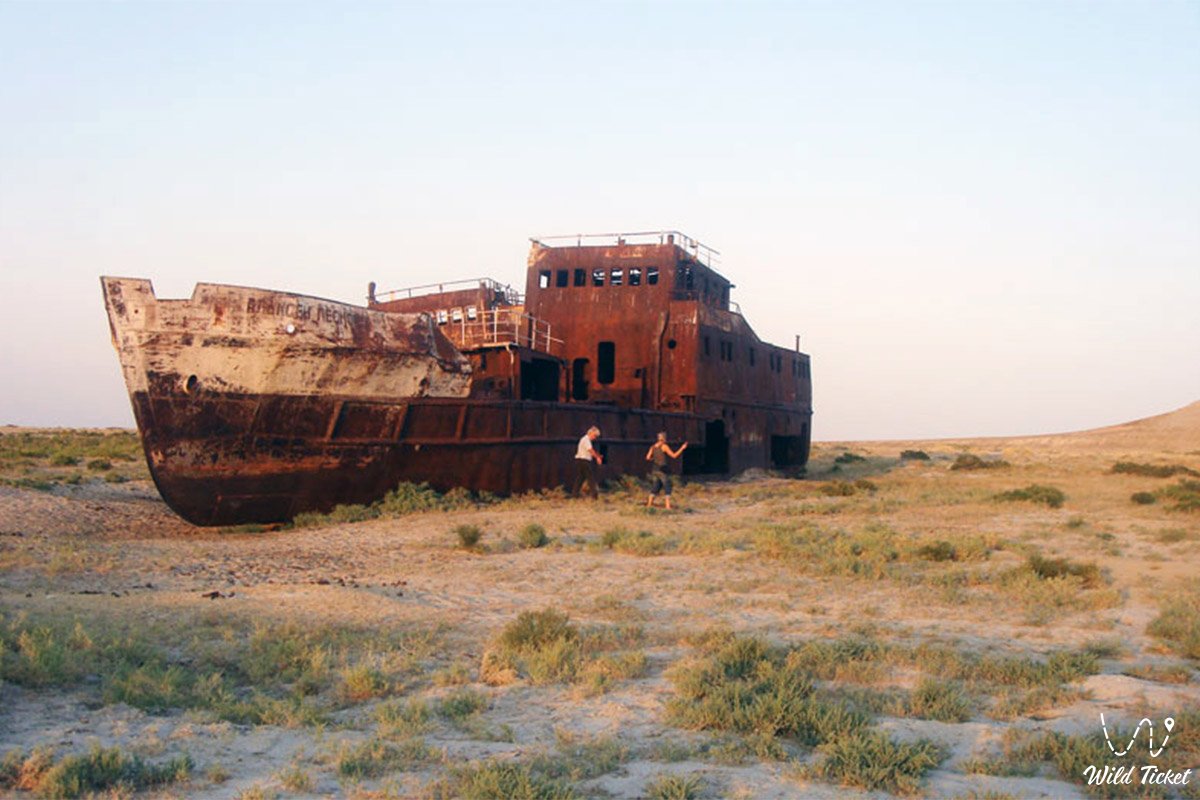
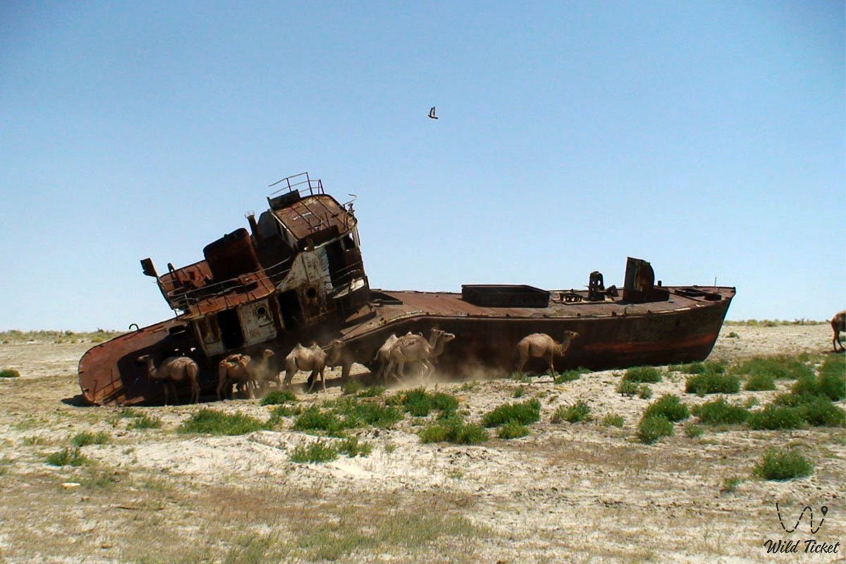
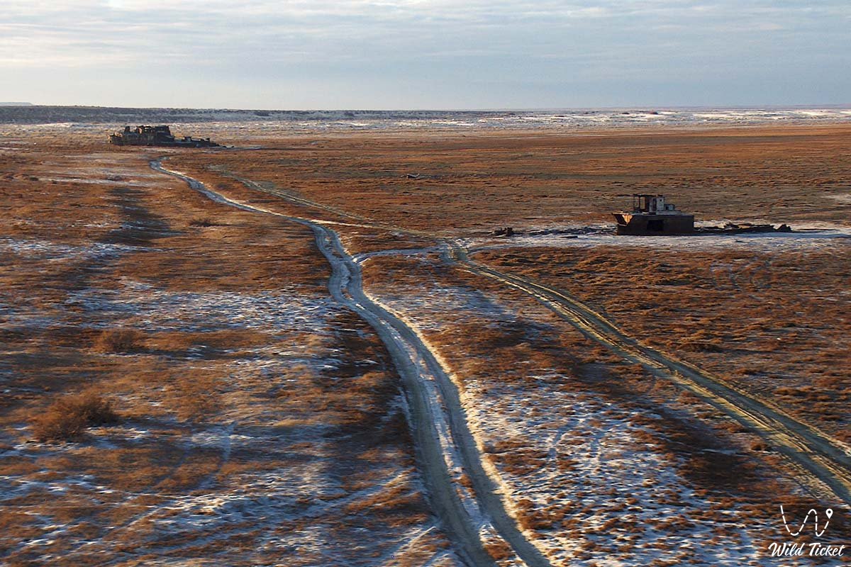
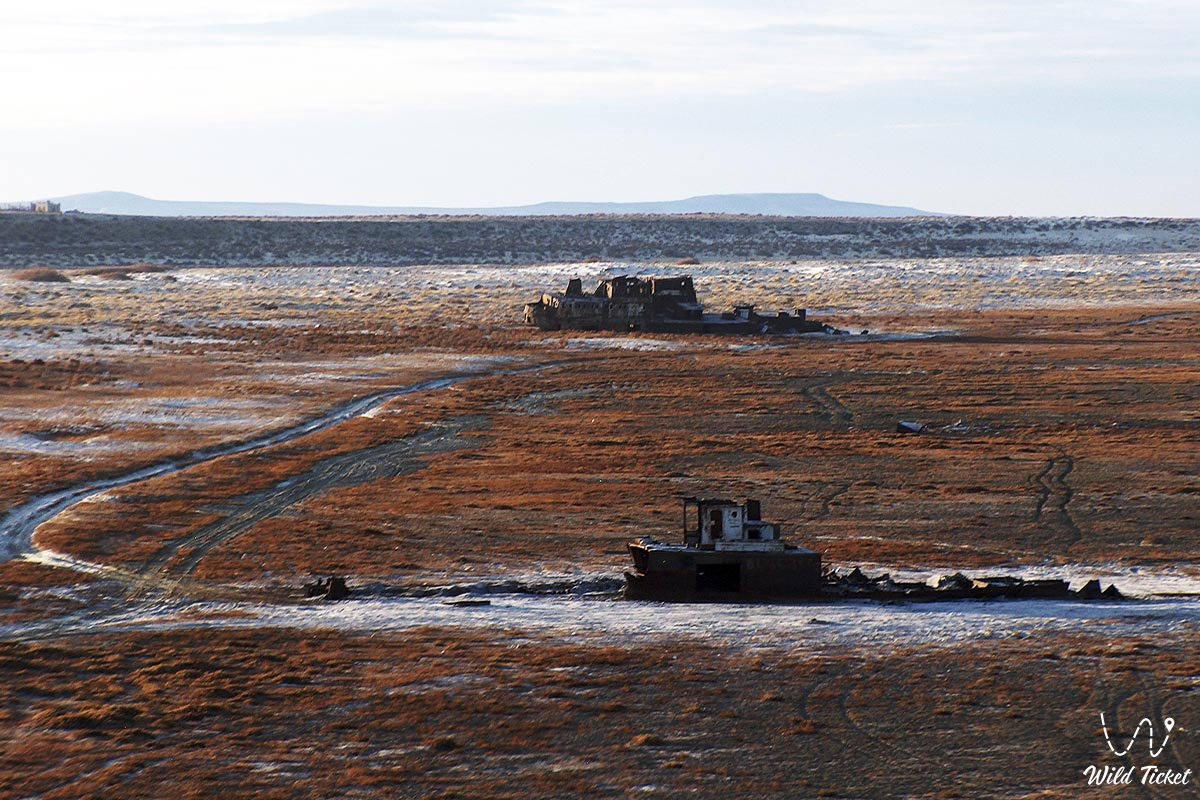
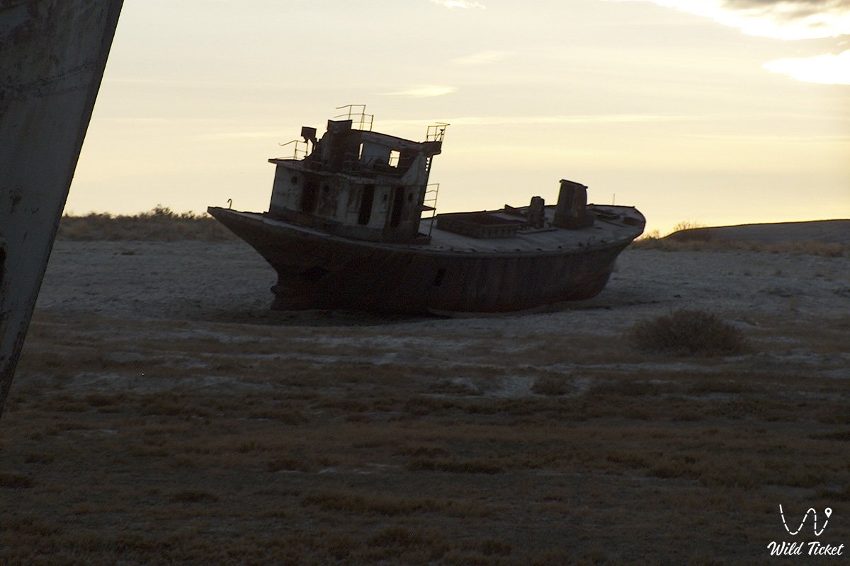
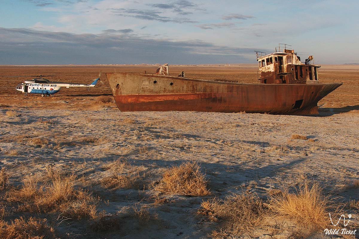
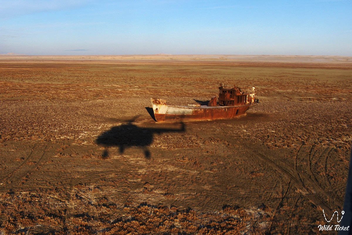
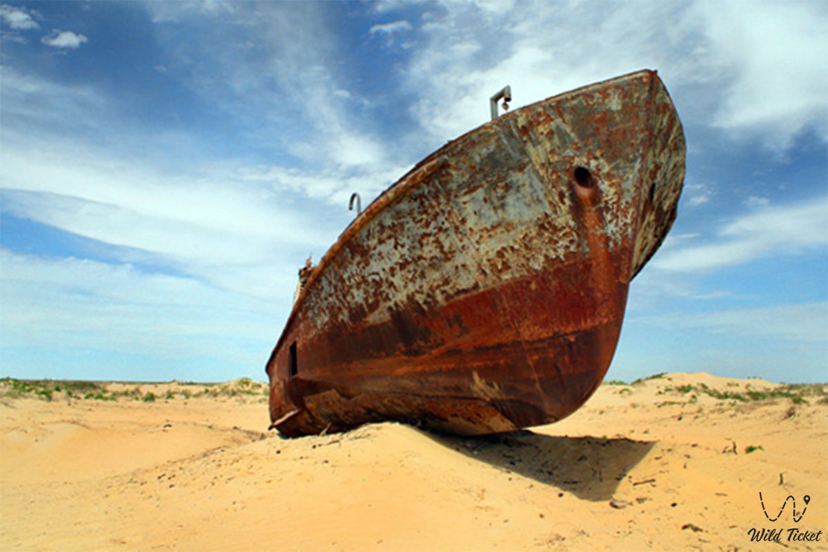
• 1960–1980 – the sea level dropped by 14 meters, the shoreline retreated by dozens of kilometers, the seaports of Aralsk and Muynak closed, and ships ran aground, forming the famous "ship graveyards."
• 1989 – the Aral Sea split into the Small (North) and Large (South) water bodies; the Berg Strait dried up.
• 1992 – local residents and authorities of the Aral district made a desperate attempt to retain the Syr Darya runoff by piling an earthen sand dike in the Berg Strait; however, spring storms in 1993 and 1999 breached the impromptu barrier.
• 1993 – the heads of state of Central Asia established the International Fund for Saving the Aral Sea (IFAS).
• 2002–2005 – the Government of Kazakhstan, jointly with the World Bank, implemented the monumental SYNAS project ("Syr Darya Control and Northern Aral Sea project"). A permanent reinforced concrete Kokaral Dam, 13 kilometers long with a spillway sluice, was erected in the Berg Strait.
• 2006–2020s – the triumph of the North Aral's revival: the water level rose to the design elevation of 42 meters (Baltic system), water volume increased by 68%, and salinity fell from 30 grams to 8–10 grams per liter, allowing populations of 20 fish species to revive and resuming commercial exports of pike perch to Europe.
Information
The ecological consequences of the Large Aral's desiccation assumed a global character. The exposed seabed turned into the Aralkum Desert, covering an area of more than 6 million hectares. Millions of tons of salts mixed with pesticide residues washed down over decades from cotton fields (pesticides, herbicides, defoliants) are dispersed by the wind over distances of 500–1,000 kilometers. Traces of Aral salt aerosols have been detected in the glaciers of the Pamirs, Tian Shan, Altai, and even in the ice sheet of Greenland.
The climate within a radius of hundreds of kilometers became severely arid: summers grew drier and warmer by 2–3 °C, winters colder and windier, seasonal maritime rains vanished, and the vegetative period shortened. Unique tugai riparian forests perished in river deltas, and reed lakes dried up. The region saw a sharp increase in respiratory illnesses, kidney pathologies, anemia, and infant mortality.
Within the framework of international cooperation and Kazakh state programs, large-scale forestry reclamation projects have been deployed: hundreds of thousands of hectares of black saxaul (Haloxylon aphyllum), sarsazan, and tamarisk are planted across the Aralkum seabed. Saxaul roots mechanically bind the sandy-saline fractions of the soil: a single mature tree can anchor up to 4 tons of shifting sand and saline substrate with its root system.
The second phase of the SYNAS project is directed toward the further stabilization of the Small Aral's hydrological regime: technical options under consideration include raising the crest of the Kokaral Dam to an elevation of 45–48 meters or creating a two-level water body, which would bring sea waves directly back into the harbor of the city of Aralsk, reducing the distance to the water from the current 17–20 kilometers back to the historical shoreline.
Detailed description of the venue
The geographic complex of ecological monitoring and tourism in Priaralye encompasses a series of impressive locations:
• Kokaral Dam – a 13-km hydraulic engineering structure in the Berg Strait that separated the recovering Small Aral from the desiccating Large Aral.
• City of Aralsk and Museum Port – the station square featuring a monument to fishermen, an exhibition of stranded ships on the bed of the former harbor ("Tobol", "Lev Berg"), and the historic 1905 railway station building with a mosaic mural depicting the heroic feat of the Aral fishermen.
• Aralkum Desert – whitish salt plains, sand ridges, and young plantations of saxaul occupying the former seabed.
• Tastubek Fishing Village – a revived fishing aul on the rocky shore of the Small Aral, the center of traditional commercial fishing for flounder and pike perch.
• Akespe Geothermal Hot Spring – a self-flowing mineral fountain with a water temperature of around +60 °C situated among sand barchans.
• Butakov and Shevchenko Bays – deeply incised, picturesque inlets of the Small Aral bordered by high clay chinks and filled with clean brackish water.
• Barsakelmes Protected Tract – an ex-island and UNESCO Biosphere Reserve, a haven for saving wild kulans amid salt pans.
• Ruins of the Kerderi Mausoleum and Aral-Asar Settlement – medieval archaeological monuments exposed on the seabed in the year 2000.
• Syr Darya River Delta – Ramsar wetlands featuring the cascading lake systems of Kamystybas (Kambash) and Akkol, which have revived local fish farming.
• Zhalanash Bay – a historic tract where hulls of fishing seiners rusted on dry ground for decades (partially preserved remains of trawlers).
Flora and fauna
The demise of the Aral Sea completely wiped out the historical fish fauna of the basin: by the late 1980s, due to salinity rising to 30–50 g/l, all indigenous fish species (Aral carp, bream, asp, shemaya, barbel) perished. In the 1970s, Soviet scientists introduced the Black Sea flounder (Platichthys flesus) into the hypersaline sea; it managed to survive high salinity levels and saved the local population from destitution during the impoverished 1990s.
Following the commissioning of the Kokaral Dam and the desalinization of the Small Aral with Syr Darya waters, the situation changed radically. Salinity in the Small Sea fell to 8–10 g/l: the flounder retreated to saltier residual bays, and valuable commercial freshwater species reclaimed their habitat: pike perch, common carp, bream, Aral roach, sabrefish, grass carp, silver carp, asp, and wels catfish. Currently, more than 7–8 thousand tons of fish are harvested annually in the Small Aral, eight fish processing plants are operational, and fillets of Aral pike perch are exported to European Union countries.
The plant world of the Aralkum is represented by highly adaptive halophytes and psammophytes: European glasswort, jointed glasswort (sarsazan), potash-plant, black and white saxaul, tamarisk, and dzhuzgun.
Protected mammals inhabit the semi-deserts and tracts of the Barsakelmes Reserve: the Turkmenian kulan (over 270 individuals), saiga antelope, goitered gazelle, corsac fox, and badger. The wetlands serve as a critical migratory transit hub for hundreds of thousands of waterfowl: Dalmatian pelicans, little egrets, greater flamingos, whooper swans, and gulls.
Legend
Ancient prophecies and philosophical tales of steppe sages surround the Aral Sea and its retreat. An old legend of the elders says that the Aral possesses the breath of centuries: the sea has been born and vanished into the abyss of time more than once. This legend received brilliant confirmation in the year 2000, when archaeologists discovered medieval settlements and the Kerderi mausoleums of the 11th–14th centuries on the exposed seabed: centuries ago, caravans bustled and fields flourished here until the rivers shifted their courses once again.
Another poetic legend attributes the shallowing of the sea to the tears of the beautiful peri Aral, separated from her beloved warriors – the Syr Darya and the Amu Darya. When cruel men shackled the rivers in granite and earthen bonds, diverting their living waters into barren sands, the sea's heart broke, and it began to fade away slowly from sorrow.
A popular legend also speaks of the "Golden Ship of Salvation", which will emerge from the morning mist on the day the last salt lake reclaims its shores and sea gulls once again circle over the port of Aralsk, marking humanity's redemption before nature.
Conclusion
The tragedy of the Aral Sea stands as a stern global warning to all humanity regarding the catastrophic consequences of heedlessly meddling with the laws of nature. Concurrently, the successful experience of reviving the North (Small) Aral has become a rare example in world history of how state resolve, engineering thought, and international solidarity can halt the destruction of an entire region.
A journey to the shores of the Aral leaves an indelible impression on every visitor. Standing at the edge of the Kokaral Dam or gazing across the boundless expanses of the Aralkum, the traveler witnesses the exact boundary between the environmental catastrophe of the past and the living hope of the future.
Interesting sights nearby:
• Aral Geopark;
• Ayteke Bi Village;
• Basibek Mausoleum;
• Raim Fort;
• Tolybay Batyr Mausoleum;
• Saraman-Kosa Tower;
• Begim-Ana Tower;
• Bogen Village;
• Barsakelmes Nature Reserve;
• Barsakelmes Island (former);
• Baikonur Cosmodrome.
Photogallery: