Dazzling snow-white expanse of salt and the natural arch of the Ustyurt chinks –
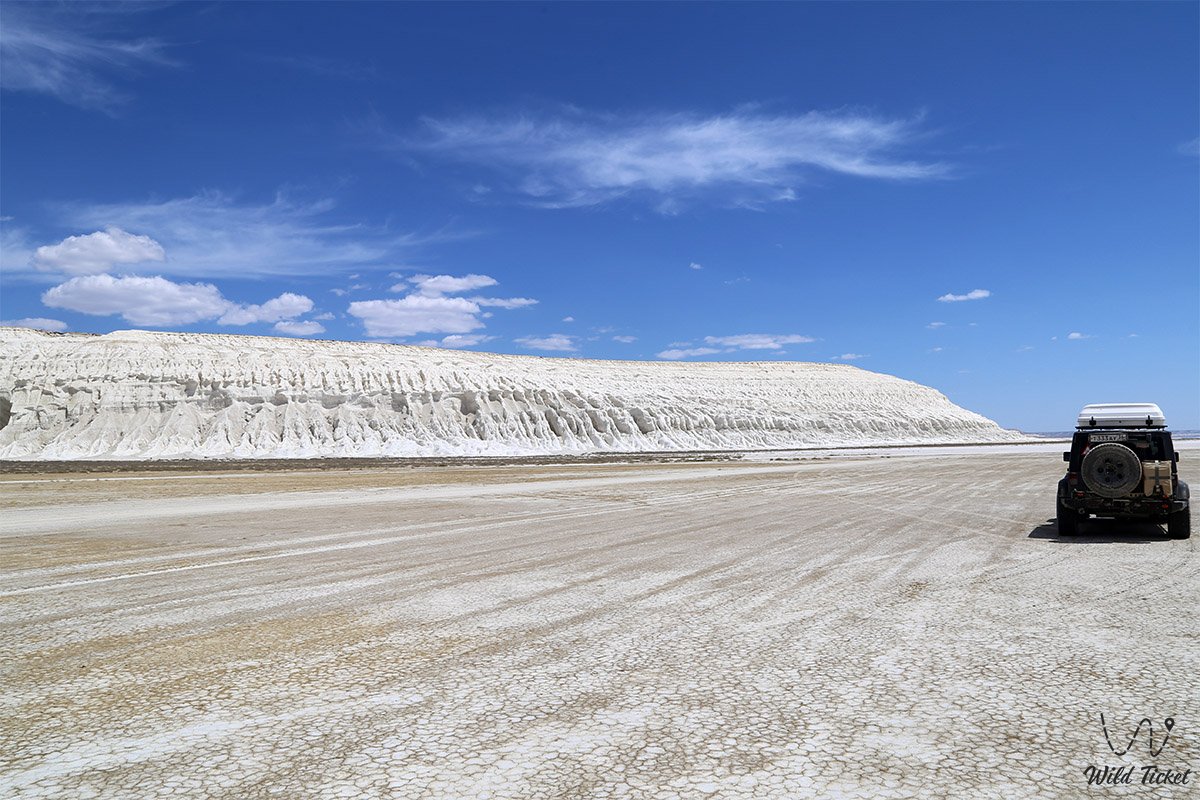
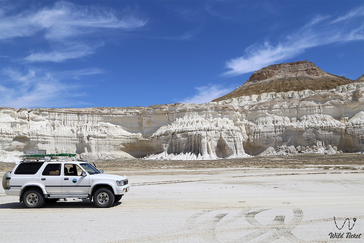
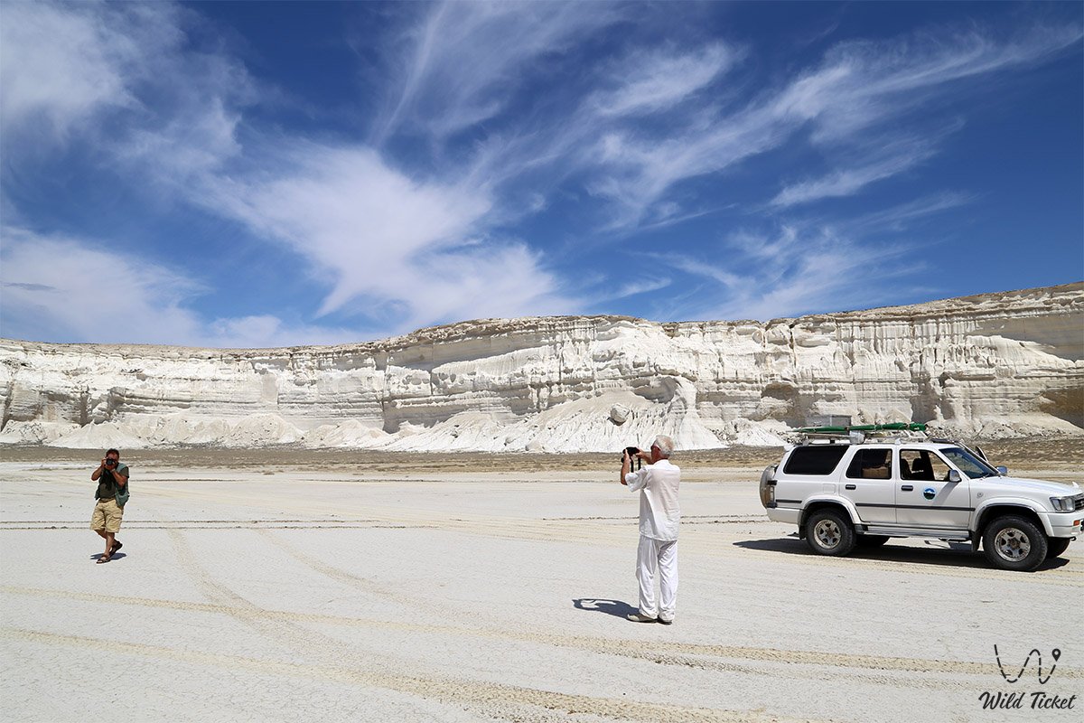
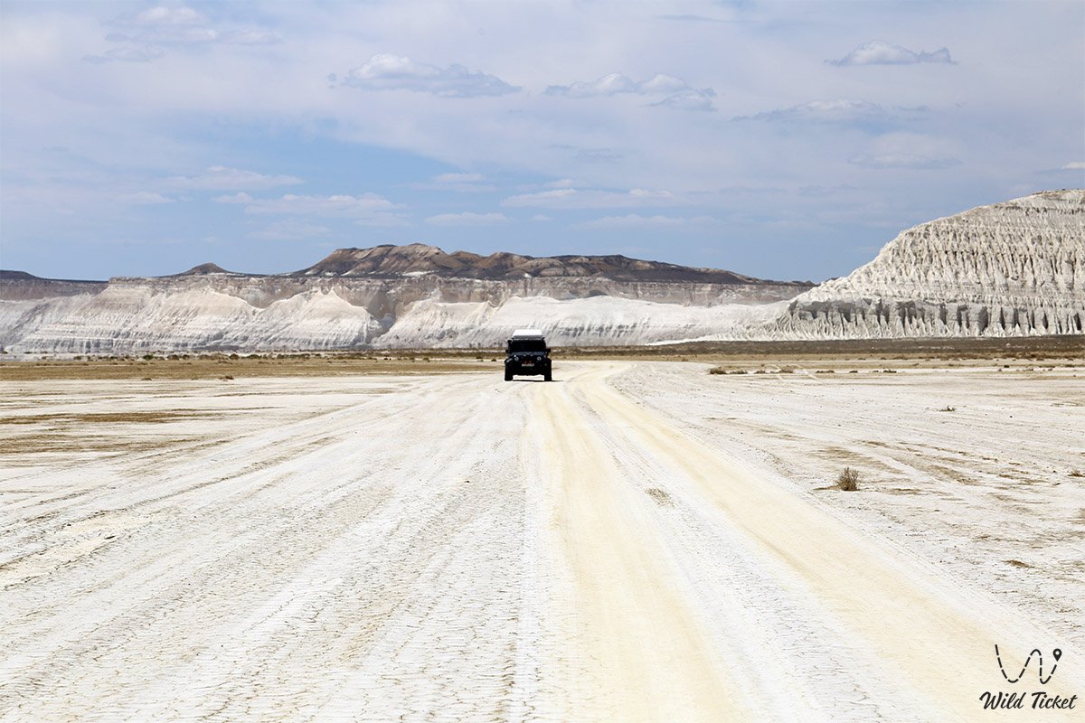
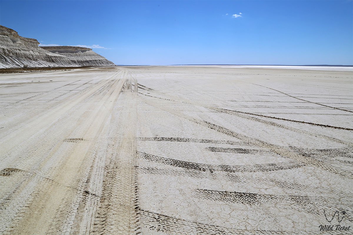
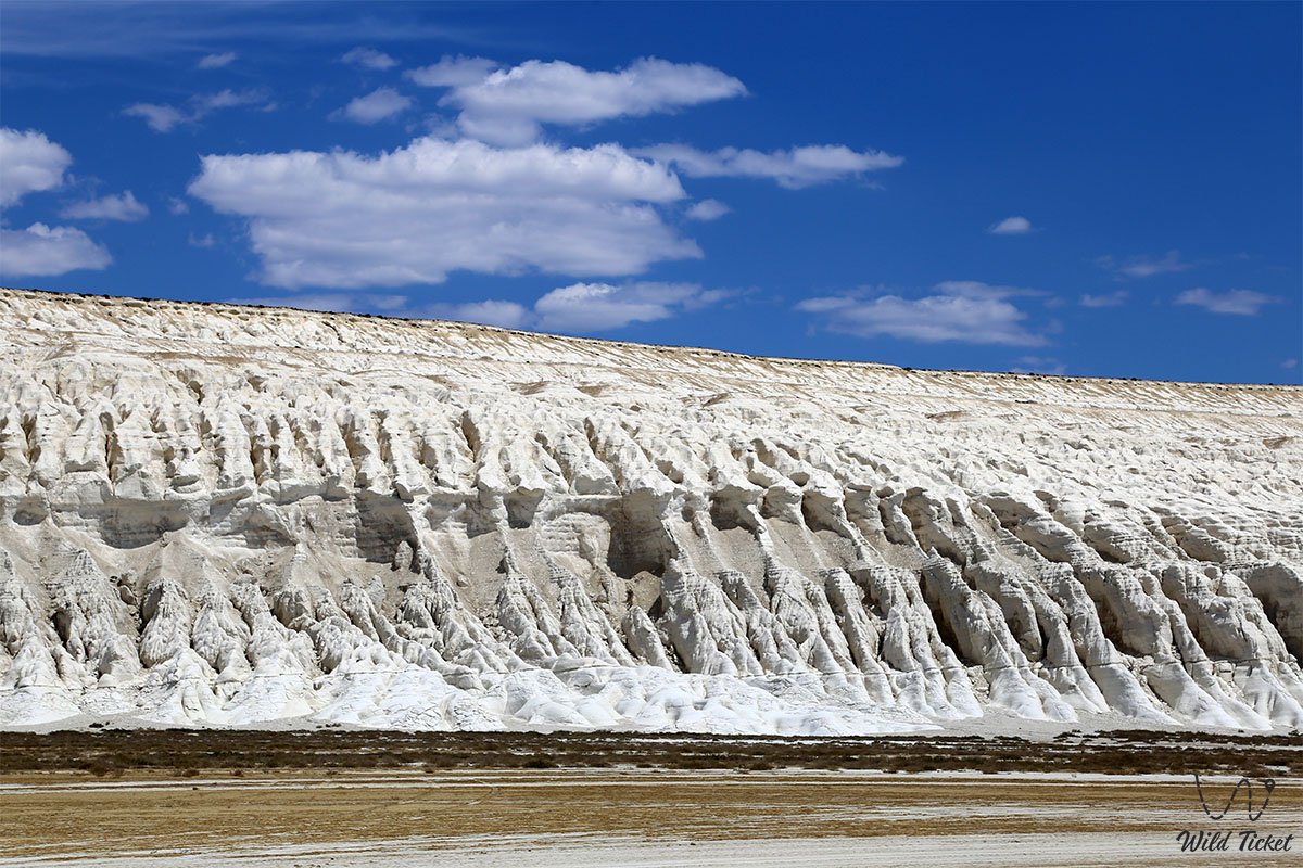
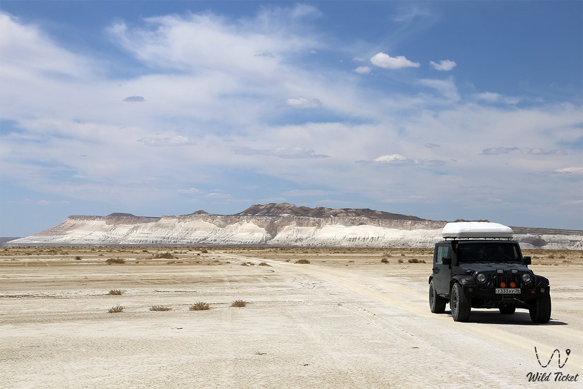
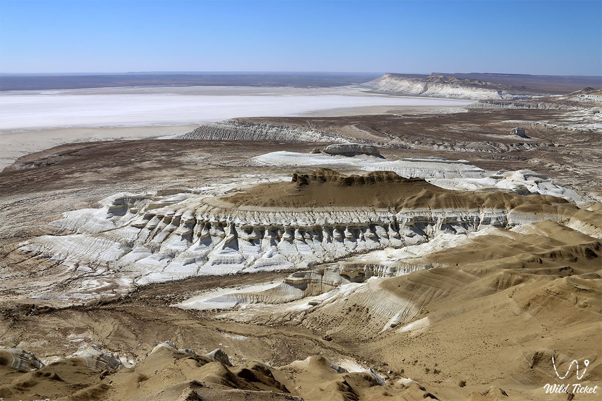
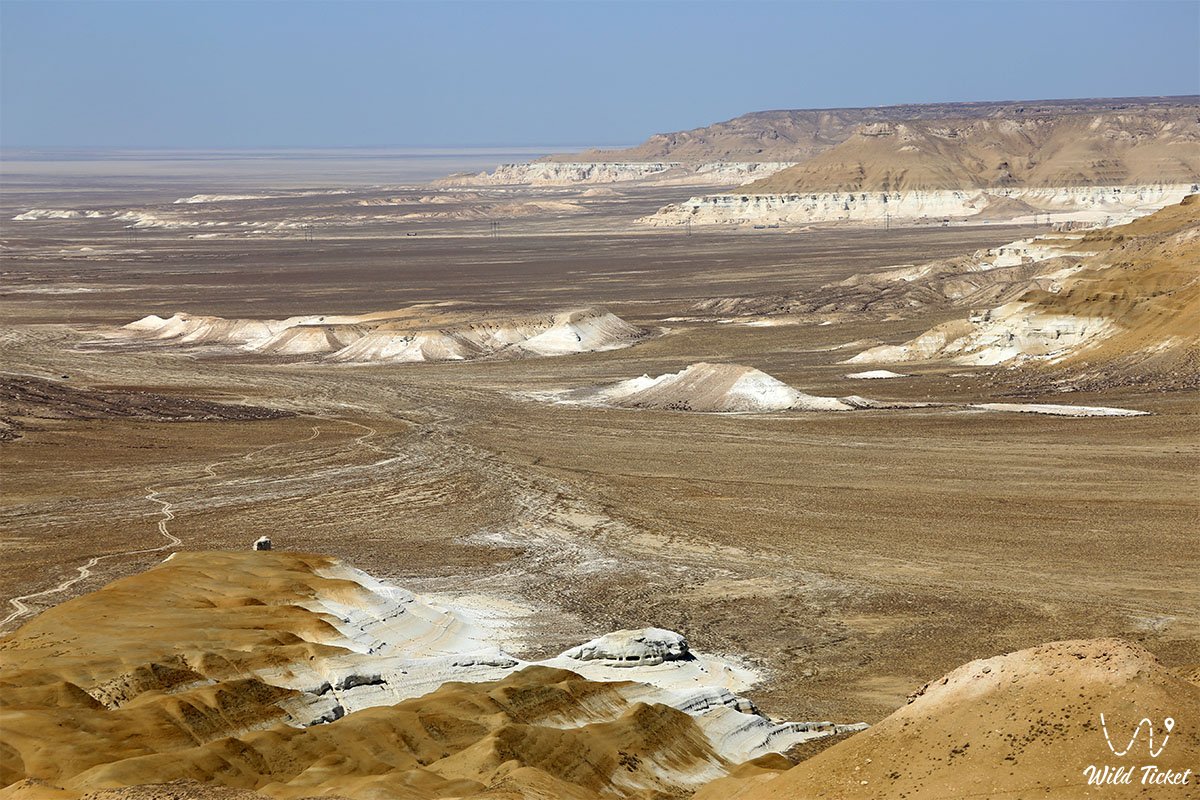
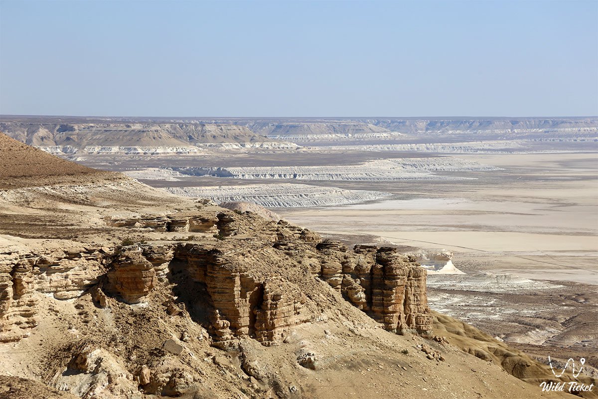
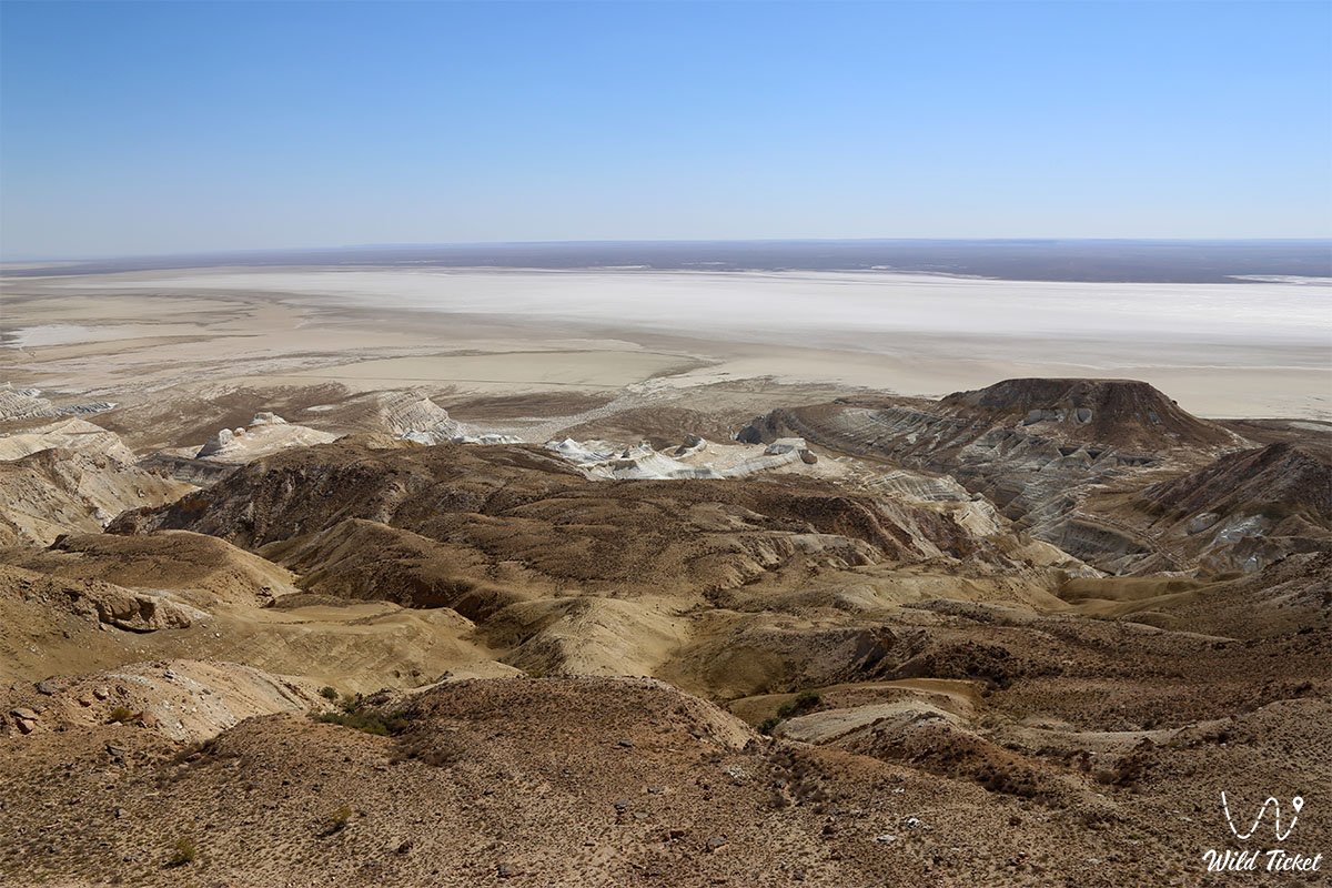
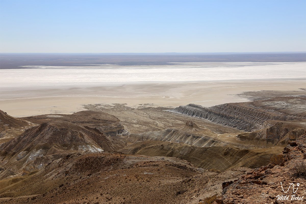
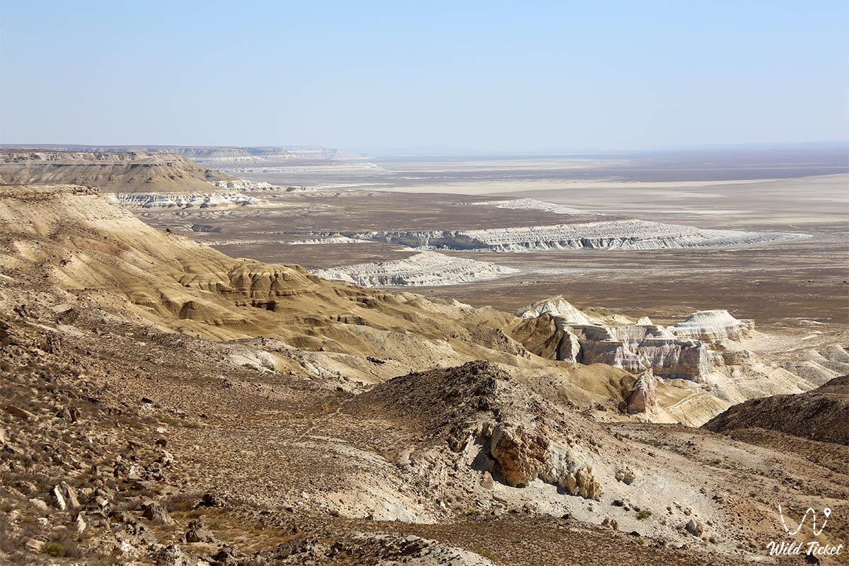
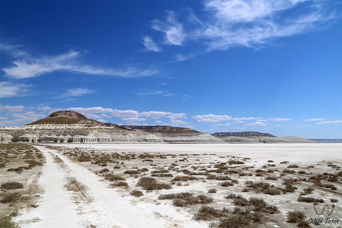
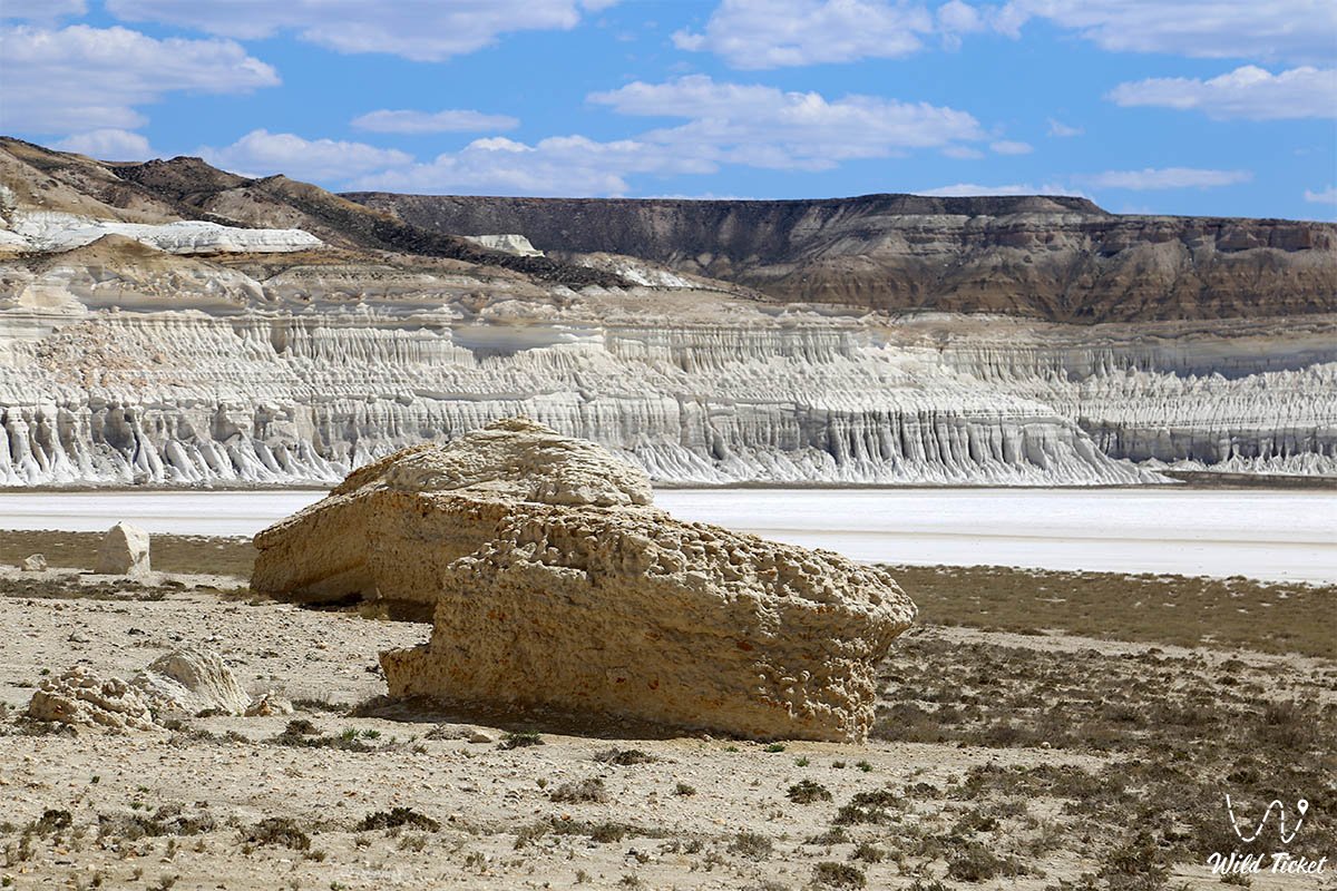
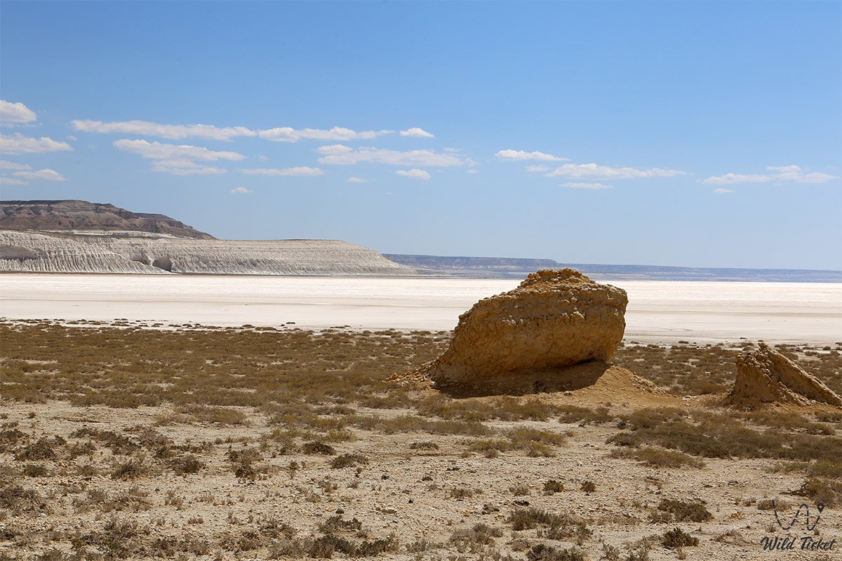
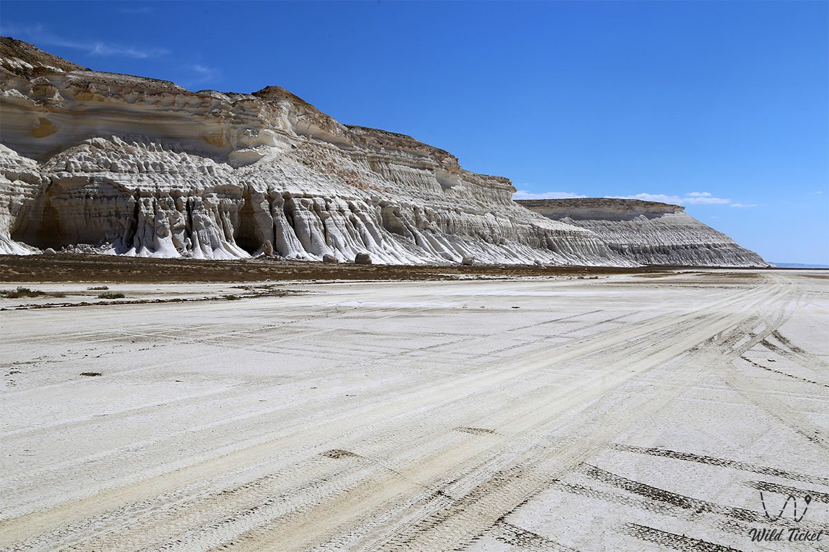
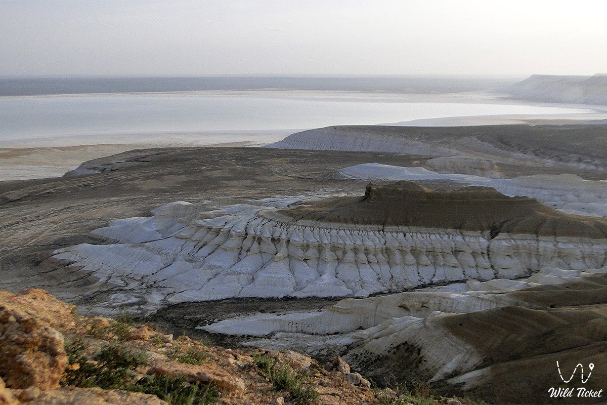
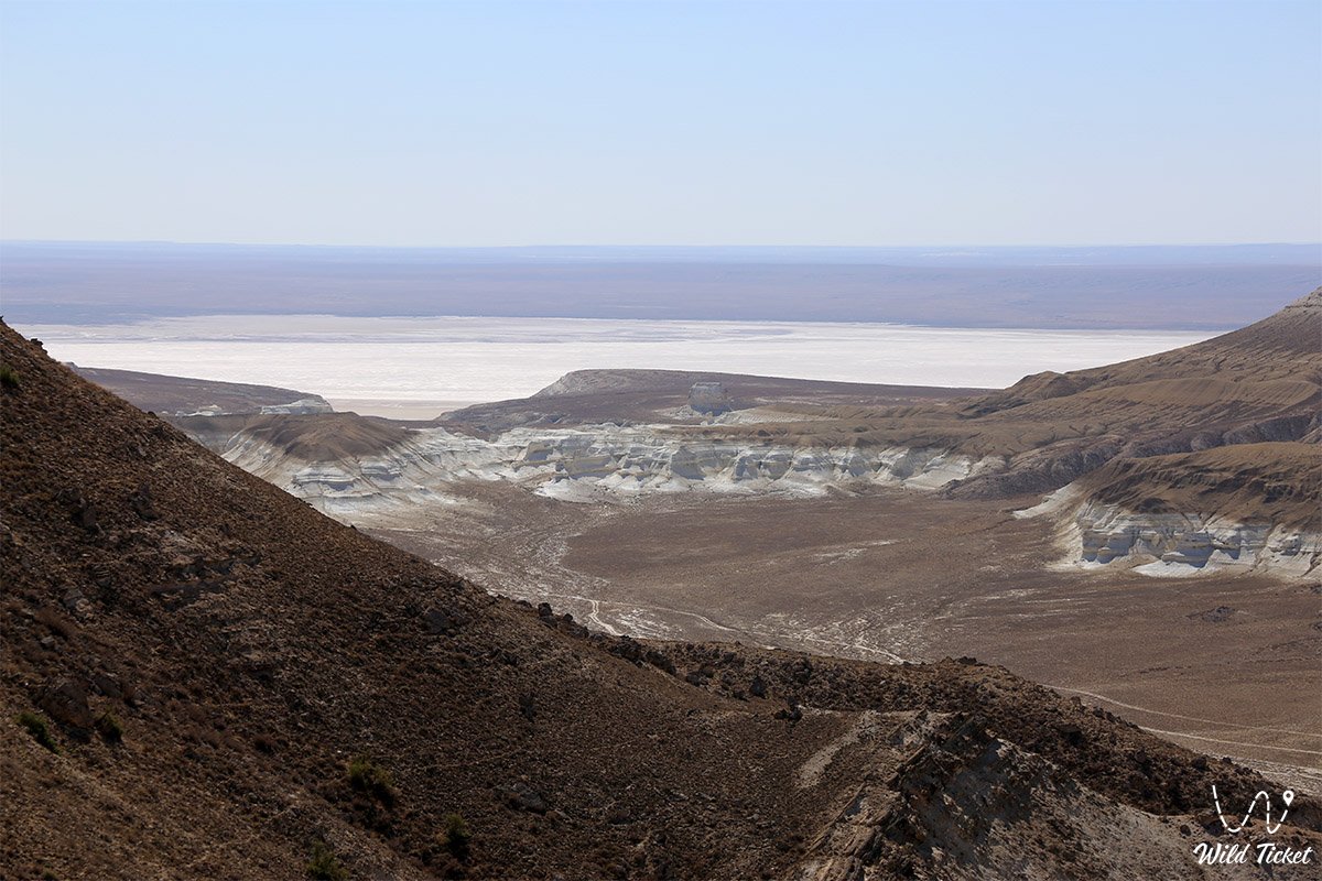
The Tuzbair Salt Flat (Kaz. Tuzbayyr sory) represents a grandiose endorheic salt lake, a boundless salt plateau, and one of the most spectacular geomorphological landscapes of the Ustyurt Plateau, located in the Mangystau district of the Mangystau region. The natural complex sprawls at the foot of the eastern section of the western scarp (chink) of the Ustyurt Plateau, astonishing travelers with the stark contrast of dazzling white crystalline salt and sheer chalk cliffs soaring over 60–100 meters high.
This entire grandiose basin is a direct geological legacy of the ancient Tethys Ocean, which surged across these expanses tens of millions of years ago: receding relict marine waters evaporated within deep tectonic depressions, leaving behind colossal strata of rock salt, gypsum, and writing chalk.
En route to the Tuzbair salt flat, travel itineraries from Aktau pass prominent highlights of the Mangyshlak Peninsula, including the solitary sacred residual mountain Sherkala, the chalk castle citadel of Airakty-Shomanay, the shaded groves of Samal Gorge, and the stratified variegated clays of Kokkala Canyon, before opening up to the boundless white chinks of Ustyurt.
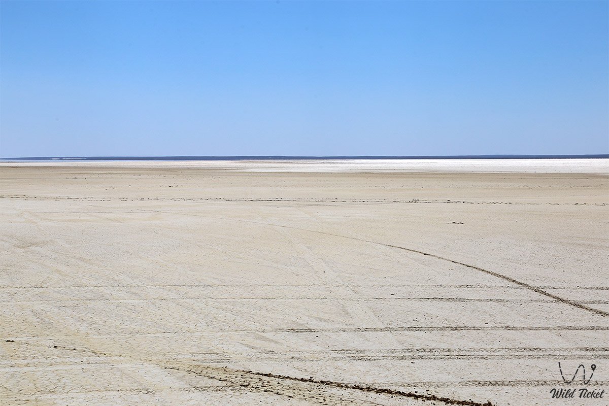
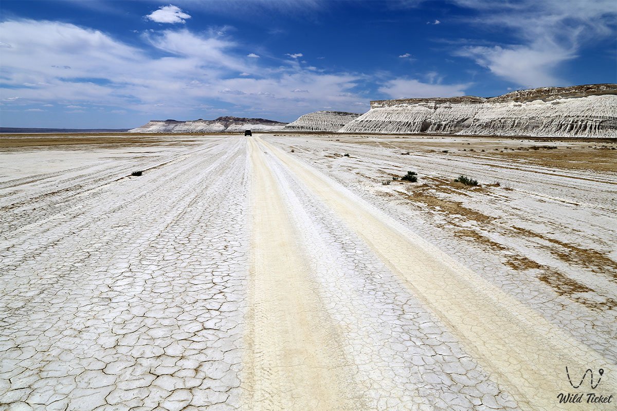
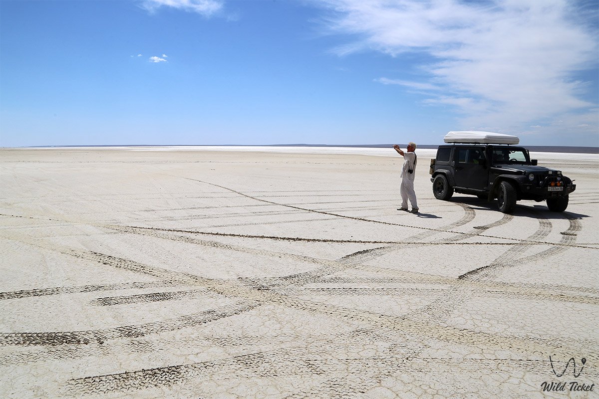
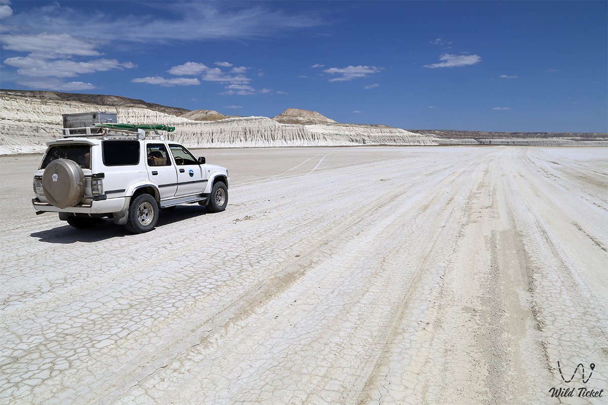
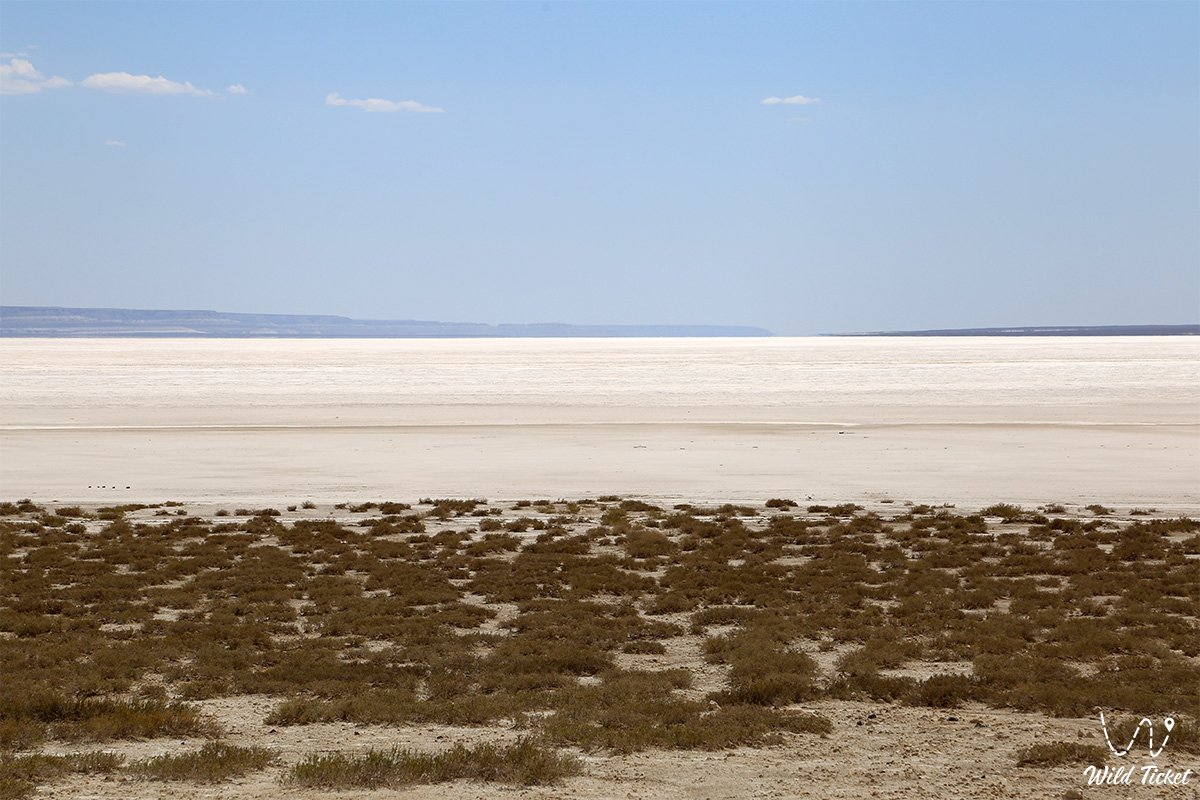
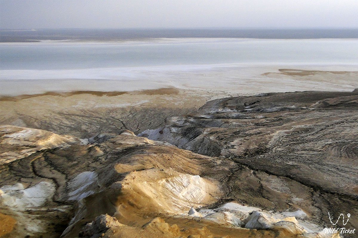
The landscape of the Tuzbair salt flat is frequently called the natural mirror of Kazakhstan: during the spring snowmelt period and following rainfall, the sor, measuring roughly 15x4 kilometers, fills with a thin layer of water up to a few centimeters deep, transforming into a flawless giant mirror reflecting the vault of heaven, drifting clouds, and the snow-white bastions of the scarp. In the dry summer season, the water evaporates to expose a sparkling crust of self-precipitated salt split into polygons, above which mirages often shimmer in the midday heat.
The primary signatures of the tract are the famous Tuzbair natural rock arch soaring over 15 meters high with the contours of giant nostrils, the Sphinx rock, ancient stone corrals for battue hunting of saiga antelopes (arans), and panoramic vantage points on the upper Ustyurt chink.
Today, the Tuzbair salt flat is recognized as an indispensable jewel of expedition travel across Western Kazakhstan and Mangystau, an iconic destination for landscape photographers worldwide, and one of the most photogenic natural wonders of Central Asia.
--------------------------------------------
How to get there and visit –
The Tuzbair salt flat is situated in the eastern part of the Mangystau region, south of the A-33 highway of republican significance Aktau – Beyneu, near the settlement of Sayotes (Say-Utes), the Manata pass, and the "Central Asia – Center" gas pipeline. The distance from the city of Aktau is approximately 240–270 km, depending on the chosen viewing platform and off-road descent (driving time takes between 4 and 5 hours).
GPS geographical coordinates of the Tuzbair salt flat:
44°00'43"N 53°12'24"E
Viewing platforms on the upper Ustyurt chink:
Point 1: 44°05'25"N 53°11'46"E (44.09026, 53.19621)
Point 2: 44°04'47"N 53°12'25"E (44.07974, 53.20703)
Point 3: 44°02'48"N 53°13'29"E (44.04663, 53.22466)
Point 4: 44°02'46"N 53°14'21"E (44.04609, 53.23928)
Point 5: 44°02'57"N 53°15'55"E (44.04905, 53.26531)
The driving route from Aktau leads northeast along the paved A-33 highway Aktau – Shetpe – Beyneu (about 230 km). When traveling from Shetpe and the Manata pass, keep to the southern side of the pipeline, then turn right to the south toward the chinks and cover about 40 km along a well-worn dirt track. If the route is arranged as part of a loop tour from the Kogez ethno-village near Mount Sherkala, the distance is shortened by roughly 120 km (down to 150 km).
To view the salt flat from above without descending to the bottom, simply continue 20 km past the main off-road turnoff along the highway and turn onto a well-graded 8-kilometer steppe dirt road leading directly to the rim of the western Ustyurt precipice, just 1–1.5 km from the Manata pass.
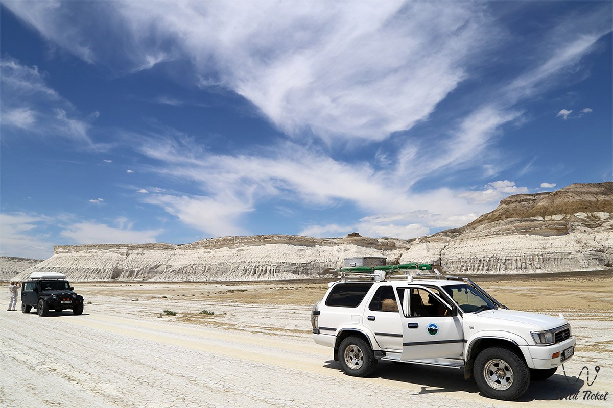
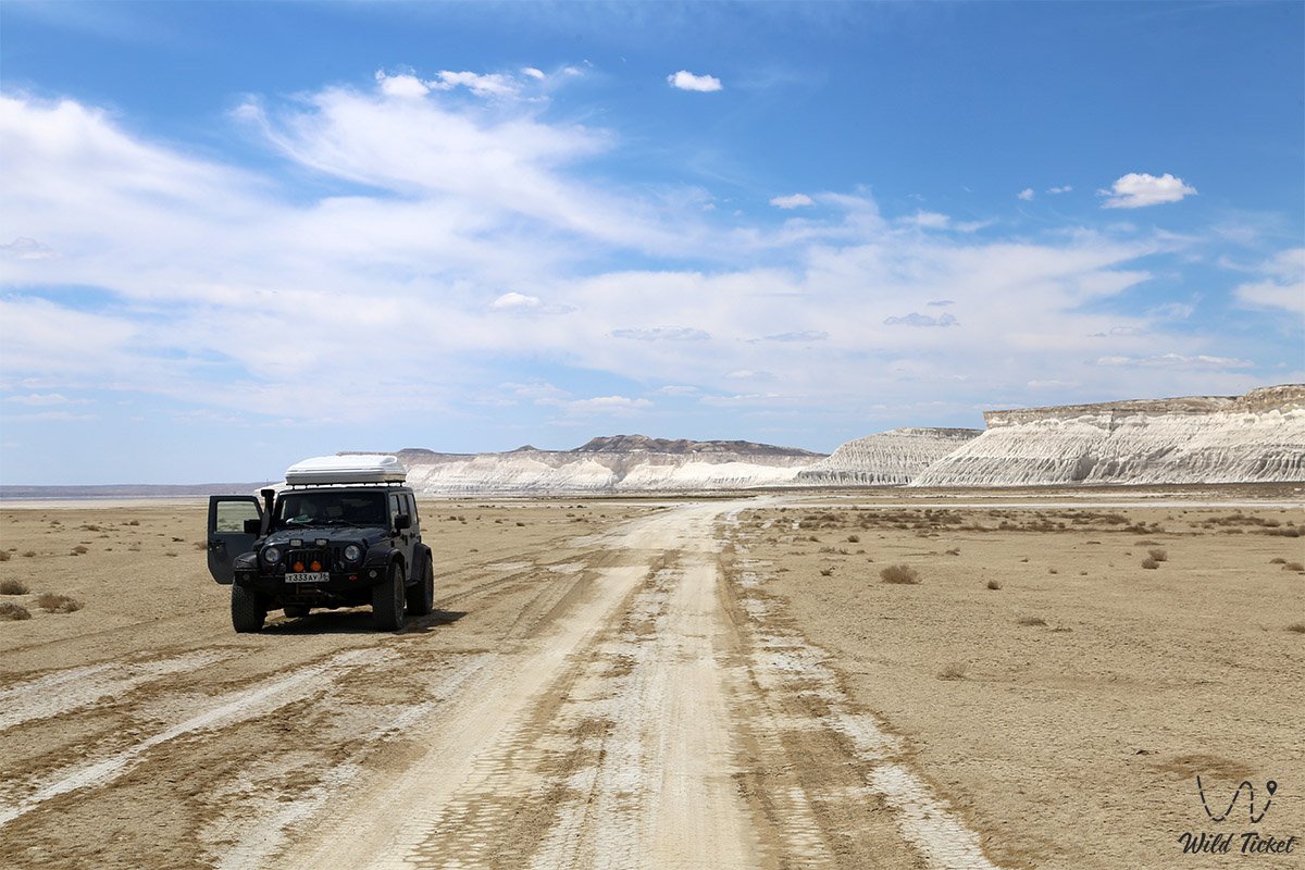
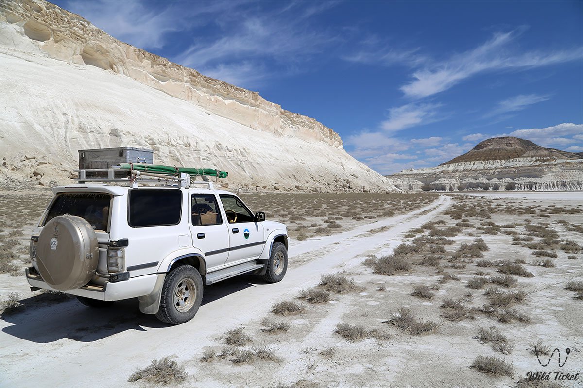
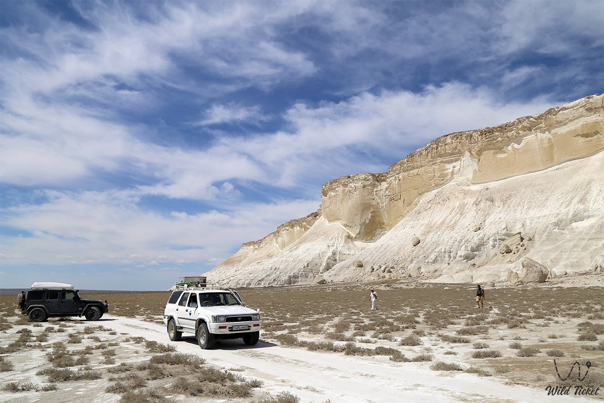
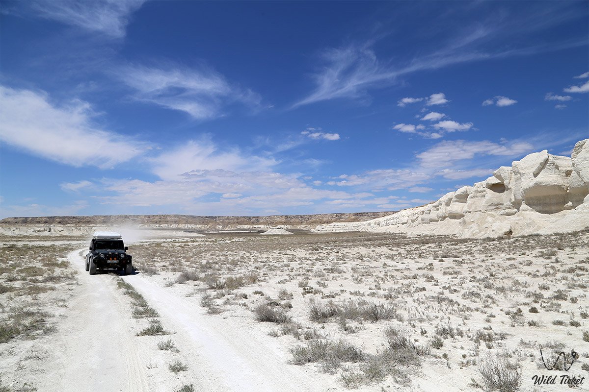
In dry weather, accessing the upper panoramic viewpoints is feasible in passenger cars or crossovers. However, descending to the bottom of the basin via steep scree ravines with drops of up to 50 meters, approaching the rock arch along the marshy fringe of the sor, and traveling during the shoulder seasons requires exclusively a body-on-frame four-wheel-drive vehicle (4x4) with an experienced driver. During or after rain, the clay soil turns to slick mud, making travel impossible.
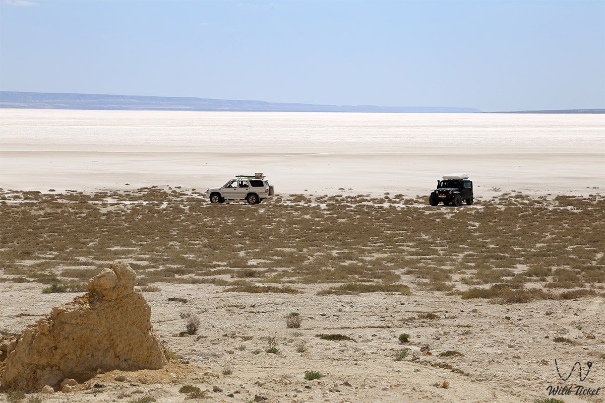
Traveling across the salt flat requires strict adherence to safety rules. Driving a vehicle deep into the sor is strictly forbidden: even a heavy, prepared off-roader will instantly break through the salt crust and get bogged down in the bottom brine. It is recommended to leave vehicles no further than 200 meters from the cliffs on the solid gravel apron, walking strictly along the tracks left by local guides.
For walking excursions across the salt flat, rubber boots or high waterproof footwear are required, as feet can sink 10–15 cm into the viscous saline mud (many travelers prefer to walk barefoot).
Infrastructure across the territory of Tuzbair is entirely absent: this is a wild, self-contained wilderness. The nearest gas stations, tire repair services, canteens, and grocery stores are located in the settlements of Sayotes and Shetpe. Every vehicle crew must carry a drinking water supply calculated at 3–5 liters per person per day, windproof protective clothing, headwear, and high-tint sunglasses, as the brilliance of the chalk cliffs and salt under the sun is blinding.
Staying overnight in the tract in tents is the ultimate way to experience the location: at sunset, sunrise, and under a moonlit night, the white cliffs and salt expanse are bathed in fantastic pastel, crimson, and silvery hues. Tents must be securely anchored with storm guy-lines against strong steppe winds.
The best time to visit is late April and May, when the steppe turns green and becomes blanketed with wild tulips, as well as the warm early autumn (September – October). During summer months (July – August), daytime air temperatures soar to +40...+45 °C, transforming the salt flat into a scorching, blinding basin. In winter, freezing gale-force winds sweep across the plateau, lifting sand and limestone dust.
--------------------------------------------
History
The history of the Tuzbair salt flat is inextricably linked to the geological evolution of the Ustyurt Plateau and the economic utilization of desert expanses by nomadic civilizations. The monumental chinks of Ustyurt served for centuries as a natural boundary and defensive barrier along which ancient caravan trails ran.
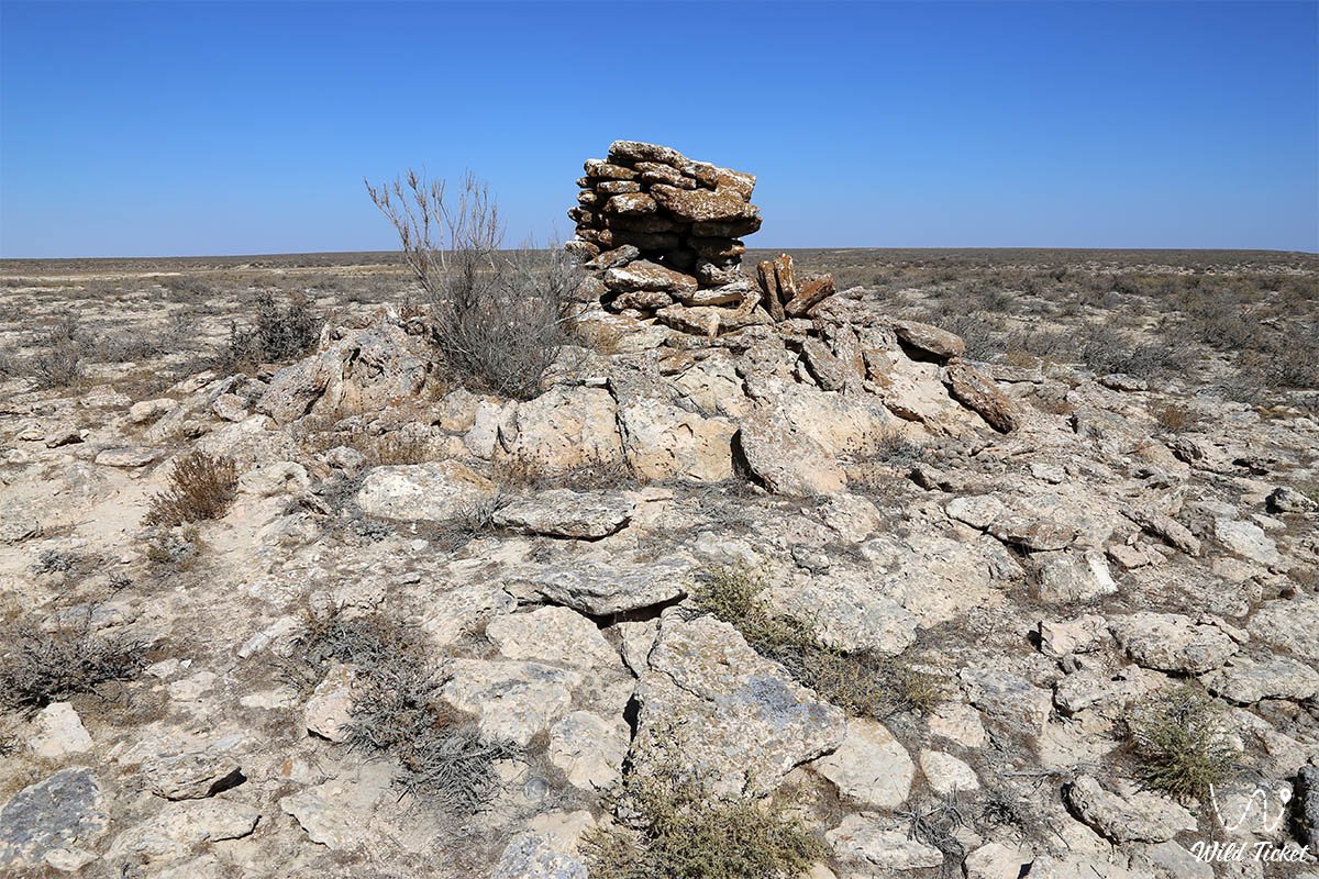
In antiquity and the Middle Ages, nomads of the Aday clan took advantage of Tuzbair's topography to organize battue hunting for saiga antelopes and goitered gazelles. Unique historical and ethnographic monuments — stone corrals known as arans — survive to this day on the heights overlooking the salt flat. They represent extended lines of fieldstones converging in a V-shape toward deep pit-traps along the precipices. In the first half of the 20th century, arans were still utilized by local inhabitants for their original purpose, and today they stand as testament to age-old hunting traditions of the steppe.
During medieval times, caravan routes from the Khiva Khanate and Khwarazm wound along the Ustyurt chinks toward the Caspian Sea and the lower reaches of the Volga River. Travelers skirted the boggy salt flat along upper terraces, guided by whimsical chalk outliers, while self-precipitating salt was harvested directly from the sor since ancient times for preserving provisions and trading at regional fairs.
Near Tuzbair, at the pass and ascent of Manata, lies the revered burial site of the holy elder Man-Ata, where caravaneers and travelers offered prayers for centuries seeking safe passage across the waterless chinks.
In the 19th century, the white cliffs of Tuzbair and its gypsum outcrops were surveyed by military topographers and expeditions of the Imperial Russian Geographical Society, who mapped the endorheic basins of the Mangyshlak Peninsula and the Ustyurt Plateau. In the modern era, the Tuzbair salt flat has become a globally recognized destination for expedition tourism and landscape photography.
Information
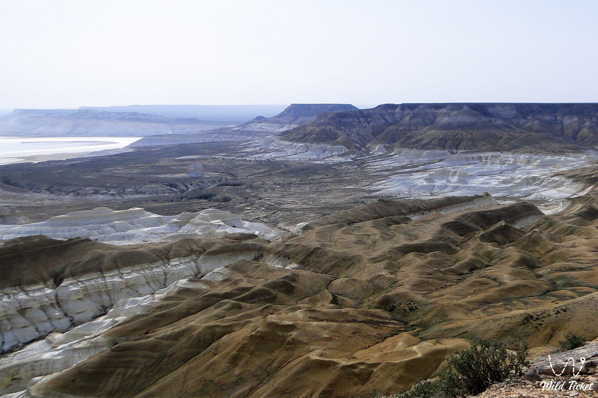
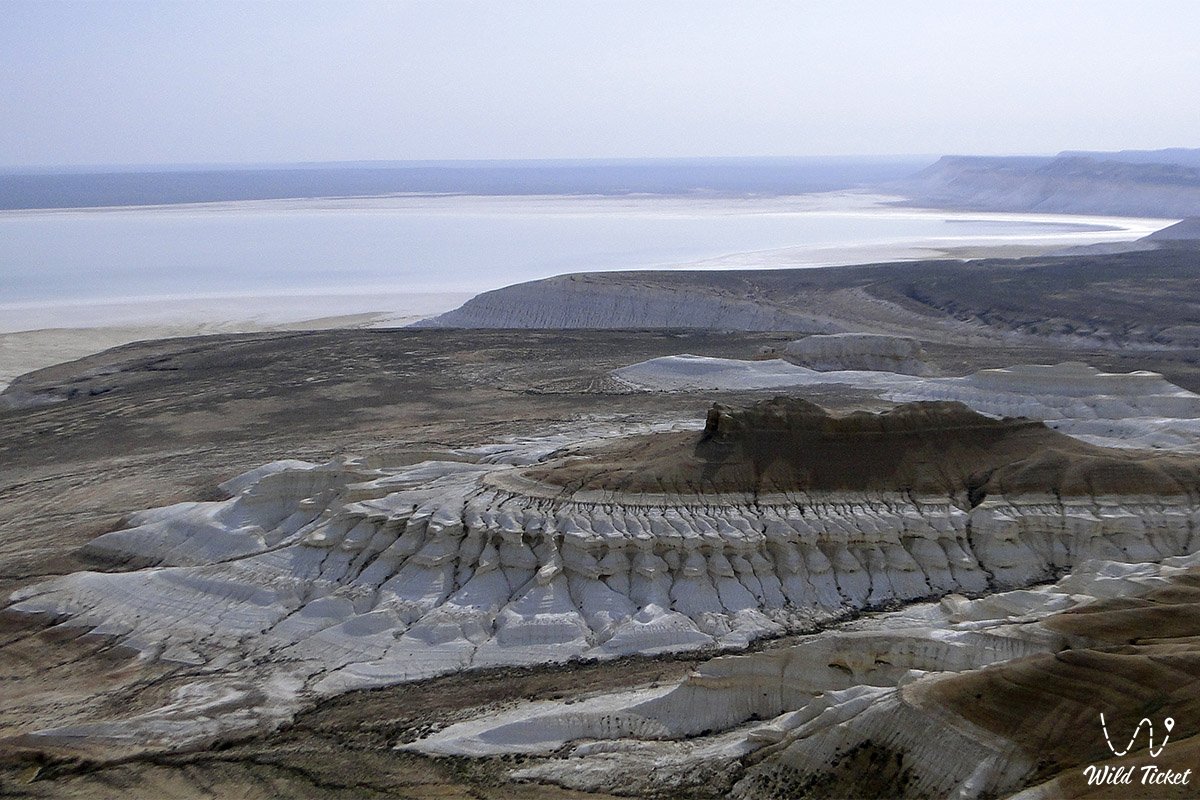
Geomorphologically, the Tuzbair tract represents a major tectonic endorheic basin-sor extending 15 kilometers from west to east with a width of up to 4 kilometers (the primary salt core stretches for 6–8 km). The drainage basin, up to 1.5 meters deep, is hemmed in between the stony steppe and the 60–100-meter sheer scarps of the western Ustyurt chink.
The geological cross-section of the cliffs is composed of marine sedimentary strata from the ancient Tethys Ocean dating back tens of millions of years. The lower section consists of thick beds of halite (rock salt), gypsum, and salt-bearing clays. Above these outcrop layers of writing chalk, marls, and coquina limestones of the Paleogene and Upper Cretaceous. Wind and water erosion have transformed the chalk walls into an intricate architectural landscape: deep gullies, fluting, cornices, freestanding outliers (including the Sphinx rock), and the celebrated chalk arch have taken shape here.
Numerous paleontological artifacts from the prehistoric fauna of the Tethys Ocean can be discovered in the scree slopes at the foot of the chink. Most commonly found are fossil shark teeth measuring 1–2 cm and sea urchin tests 4–5 cm in diameter, dusted with a fine layer of white powder and chalk.
The hydrological regime of the sor is characterized by cyclical seasonal filling. In spring, during snowmelt and following rare heavy downpours, the endorheic basin fills with water, creating a multi-kilometer shallow lake with a mirror-like surface. During the hot season, the water evaporates, leaving behind a dense yet viscous salt crust that remains firm near the cliffs and softens toward the center of the depression.
The climate of the area is sharply continental and arid desert. In summer, temperatures in the sun exceed +45 °C, while the white salt creates an intense reflective lighting effect. In winter, the open plateau is swept by gale-force winds accompanied by sub-zero temperatures.
Detailed description of the venue
The natural and historical complex of the Tuzbair salt flat encompasses the following key locations:
• Snow-white salt field of the Tuzbair sor – a vast expanse of self-precipitating salt measuring 15x4 km with polygonal salt patterns, a mirror-like water surface in spring, and shimmering mirages in the midday heat.
• Chalk natural arch – a grandiose natural rock span over 15 meters high shaped like giant nostrils, formed through the undermining and collapse of chalk beds, accessible via a walk up a steep scree slope.
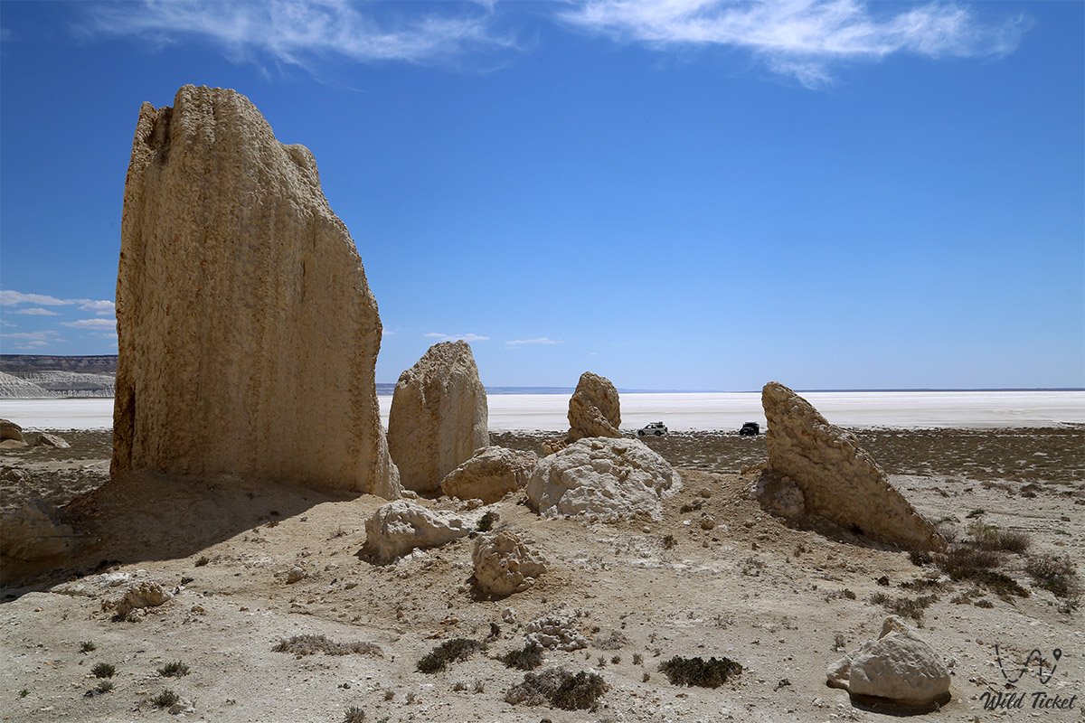
• Sphinx Rock and chalk outliers – a cluster of weathered limestone pillars and towers along the Ustyurt chink resembling sculpted guardians of the desert.
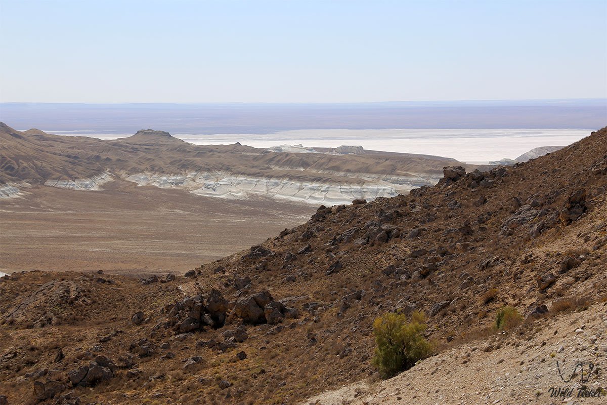
• Upper viewing platforms of the Ustyurt chink – five naturally formed scenic viewpoints at elevations over 60–100 meters, revealing a 360-degree panorama over the salt sea and distant steppe expanses.
• Historic stone hunting corrals (arans) – two monumental arrow-shaped stone structures on the heights built by nomads for the battue hunting of saigas.
• Brown cliffs – low-lying limestone knolls blanketed with sand, clay, and quartz crystals, glowing with warm hues in the rays of the setting sun.
• Paleontological outcrops of the Tethys Ocean – scree aprons at the base of the cliffs preserving fossilized teeth of prehistoric sharks, mollusk shells, and sea urchin tests.
Flora and fauna
The plant life of the Tuzbair salt flat is specialized for saline soils and arid conditions. The salt-encrusted bed of the sor is entirely barren of vegetation; however, specialized halophytes grow along its fringes, on clay terraces, and across the apron slopes of the chink: Halocnemum strobilaceum, eastern saltwort, glasswort (Salicornia), and Kalidium. The upper Ustyurt Plateau is covered in wormwood steppe: gray-soil wormwood, Lerche's wormwood, biyurgun, boyalych, and spiny dzhantak (camelthorn). In late April and May, the valley is blanketed with a vivid carpet of wild tulips (Sogdian and two-flowered tulips), ferula, and desert ephemerals, which quickly wither under the summer sun.
The animal kingdom is rich in species typical of arid environments. Grazing camels and bands of semi-feral steppe horses can be seen around the salt flat. Wary saiga antelopes roam the open plains of the plateau, keeping at least 200 meters away from humans, along with rare goitered gazelles. Endangered Ustyurt mountain sheep (mouflons/argali) find sanctuary on the inaccessible ledges of the chink.
Small mammals commonly found include the tolai hare, corsac fox, steppe polecat, long-eared hedgehog, badger, gerbils, and jerboas. Steppe wolves roam through the ravines during night hours in search of water and prey.
Birds are represented by raptors nesting in the crevices of the chalk cliffs: golden eagles, steppe eagles, long-legged buzzards, saker falcons, and common kestrels. Chukar partridges and desert wheatears frequent the screes, while migrating shelducks and waders stop at the shallow water of the sor in spring.
The herpetofauna includes the Central Asian tortoise, agile steppe agama, toad-headed agama, dione snake, arrow snake, and the venomous Halys pit viper. Scorpions and solifuges inhabit rock fissures and hide beneath dry shrubs.
Legend
An ancient Kazakh tradition regarding bitter tears of love and the wrath of formidable spirits of Ustyurt is tied to the origin of the Tuzbair salt flat and its stone arch.
In ancient times, when the Ustyurt Plateau was covered in lush pastures, the wealthy encampment of a stern bai stood at the base of the white cliffs. His only daughter, the beautiful Aisulu, was renowned for her kindness and radiant spirit, and her laughter rang like drops of spring water. The maiden's heart belonged to a poor horse herd who sang beautiful steppe kuis on the dombra.
Upon discovering his daughter's love for a pauper, the bai flew into a rage: he had already pledged Aisulu in marriage to an old, cruel khan of a neighboring horde in exchange for hundreds of gold ingots and herds of swift steeds. Unwilling to submit to captivity, the lovers fled into the boundless plateau under cover of night. The enraged father dispatched a hundred armed warriors on swift horses in pursuit.
The chase overtook the fugitives right at the edge of the Ustyurt precipice. In an unequal clash, the brave youth was pierced by arrows and plunged into the abyss. Stricken with grief, Aisulu fell to her knees at the edge of the white cliff and prayed to the heavens: "O spirits of sacred Ustyurt, do not let me fall into the hands of cruel foes! Let my tears submerge this land, and let my heart remain here forever!"
The maiden wept, and torrents of her salty tears cascaded down the cliff into the deep basin. Her tears flowed so uncontrollably that they flooded the valley for miles around, turning into the boundless salt sea of Tuzbair. When the sun rose, the pursuers recoiled in terror: the riders could not cross the bottomless salt bog, while the maiden petrified along the crest of the cliff, transforming into a graceful rock arch. Ever since, winds whistling through the archway sing a mournful song of devotion and eternal love, and the Tuzbair salt flat preserves the pure tears of the beautiful Aisulu.
Conclusion
The Tuzbair salt flat is a monumental natural phenomenon of Mangystau where the dazzling brilliance of a salt mirror meets the primeval majesty of the Ustyurt chinks. An expedition to Tuzbair offers a rare encounter with the planetary scale of nature: walking across the crunching salt crust, finding fossilized shark teeth from the ancient Tethys Ocean, viewing the stone arch, and watching an unforgettable sunrise over the sor leave an enduring imprint on every traveler's heart.
Interesting sights nearby:
• Chalk Outliers "Fangs of Bozzhira";
• Kyzylkup Tract;
• Porous Canyon Kabyrga (Ybykty-Say);
• Mount Bokty Table Mountain;
• Torysh Tract ("Valley of Spherical Concretions");
• Zhygylgan Sinkhole;
• Traces of Ancient Animals in the Zhygylgan Tract;
• Karynzharyk Desert Depression;
• Chalk Outliers "Three Brothers";
• Deepest Karagiye Depression;
• Canyons of Kapamsay, Tamshaly, and Saura;
• Akmysh Oasis-Tract;
• Ustyurt State Nature Biosphere Reserve;
• Karagiye-Karakol Nature Sanctuary.
Sacred sights of Mangystau - underground mosques and pilgrimage destinations:
• Sherkala Necropolis near Mount Sherkala;
• Otpantau Complex on Mount Otpantau;
• Kolbas Ishan Mosque;
• Koben Mosque;
• Zholaskan Mosque;
• Nurbergen Kalyshev Mausoleum;
• Zhaman Sauran Mosque;
• Ishan Khozha Mosque;
• Itolla Mosque;
• Akshora Mausoleum;
• Sonabay Underground Mosque;
• Masat-Ata Mosque;
• Uytoly-Ata Underground Mosque;
• Sanctuary of Bayte;
• Khanga Baba Necropolis.
Photogallery: