Climbing in the Ugam Range -
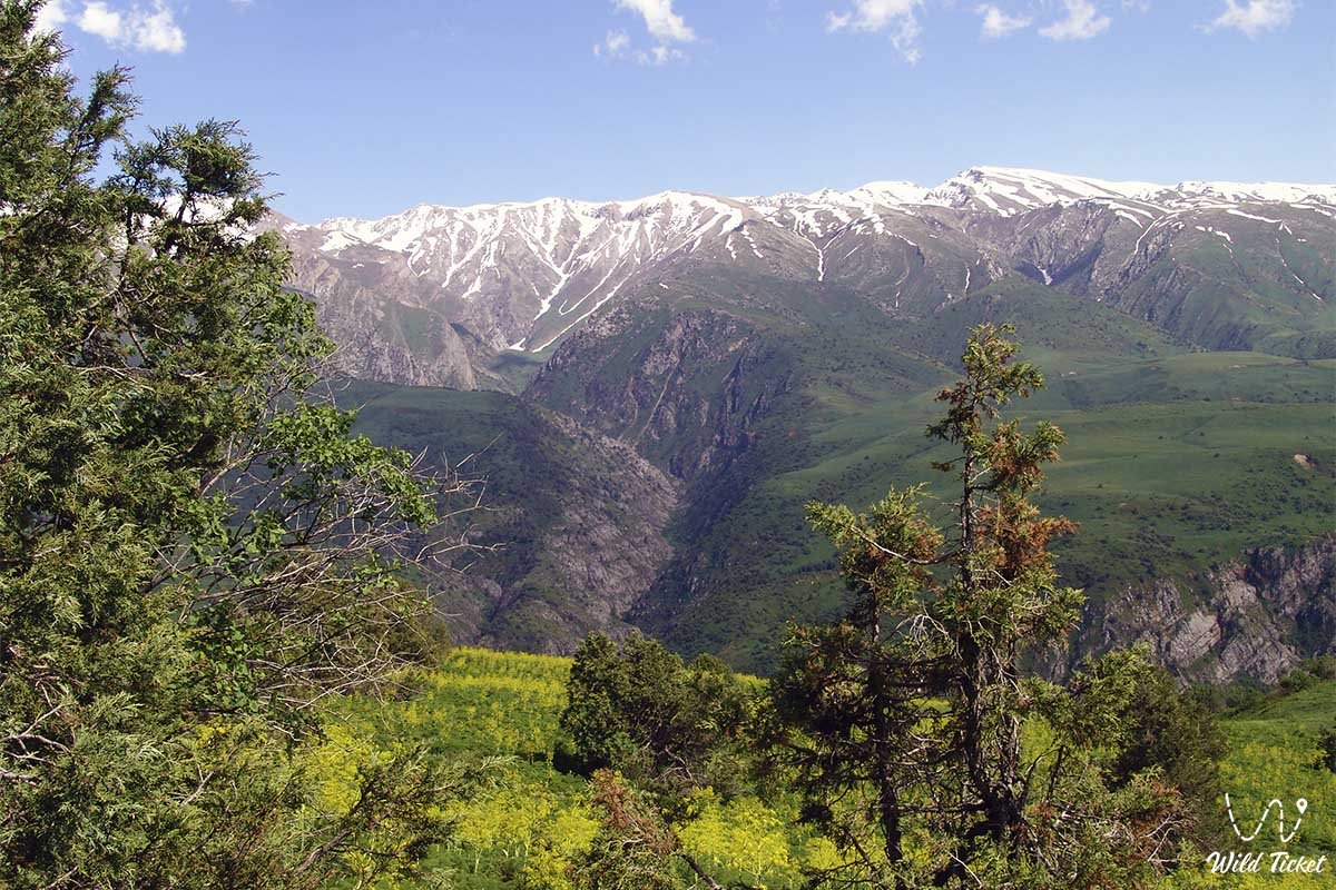
Ugam is a mountain range in the western part of the Tien Shan. It extends 110 km from northeast to southwest, and currently measures approximately 30 km. The highest point is Sairam Peak (4,299 m).
Tourist Information
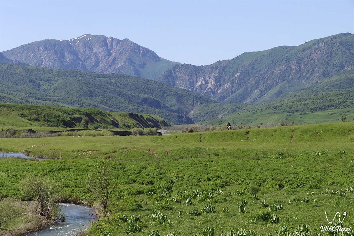
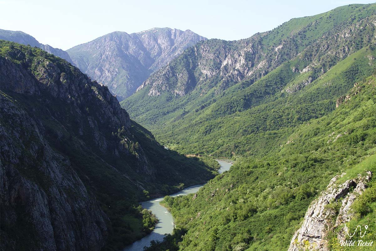
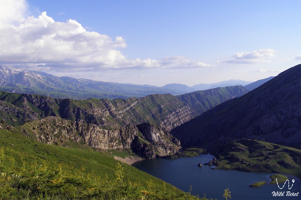
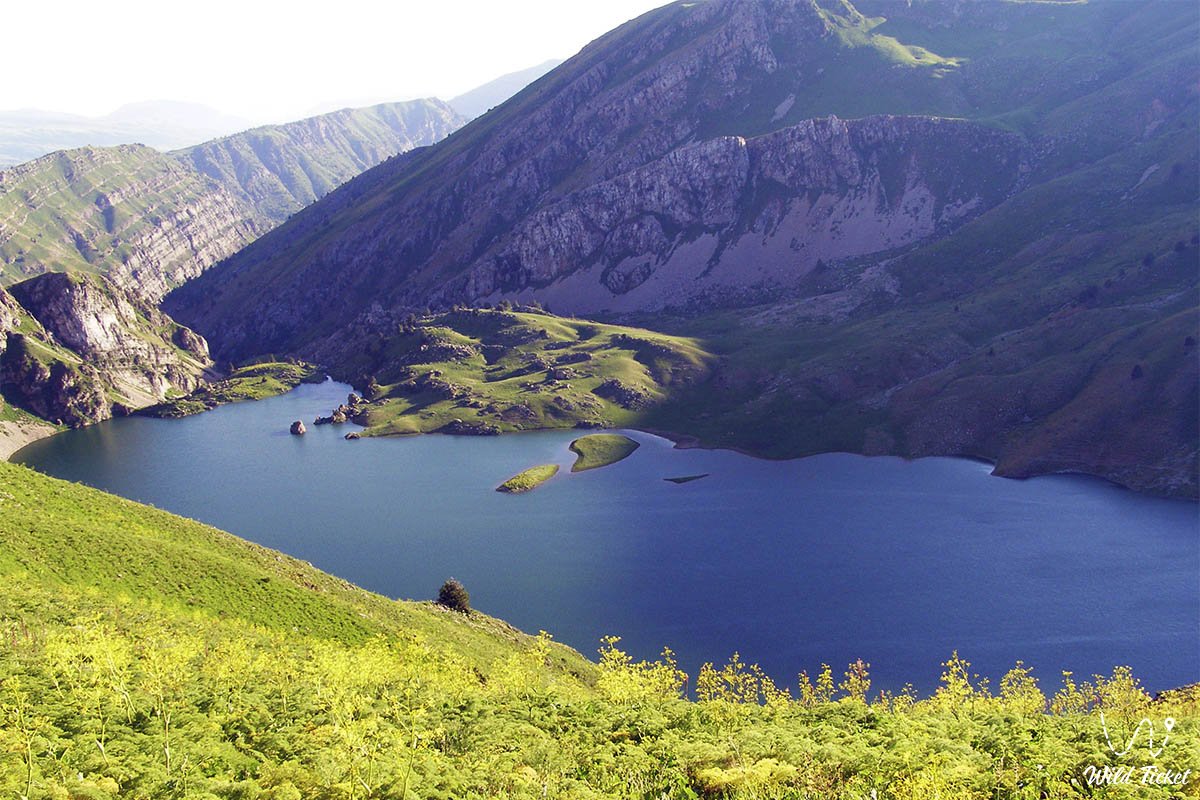
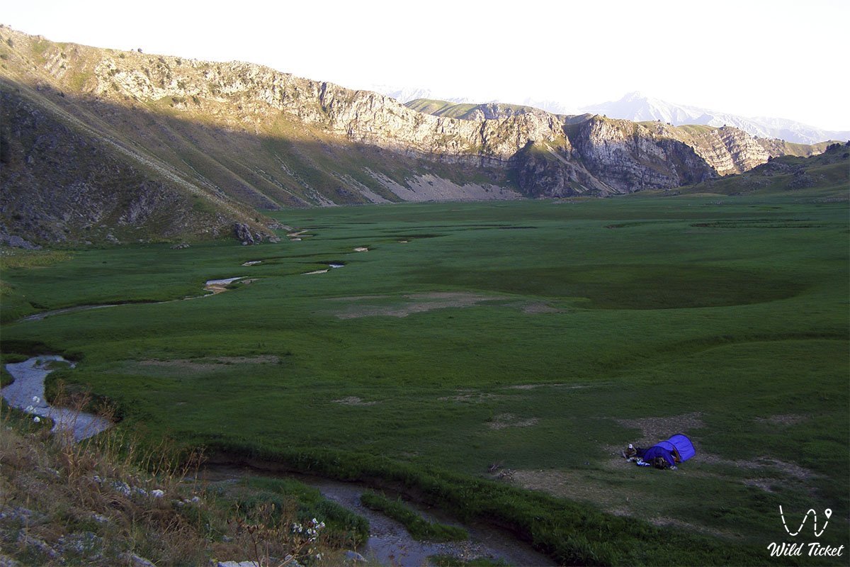
The Ugam Range slopes southwest and terminates at the Shcherbak Dam (Uzbekistan). The terrain is mountainous; the lower boundary is meadow plains. The plains are rich in springs and rivers. It consists of high mountains and ridges covered with glaciers. The territory of the Kazygurt and Tolebinsky districts includes the northern and southwestern parts of the Ugam Range. It consists of the Kumkezen, Zhaltyr, Konekti, Zhetyungir, Piyazdy, Shymyrbay, Azarteke, and Makpal mountain ranges, as well as the Turpakbel and Maidantal passes.
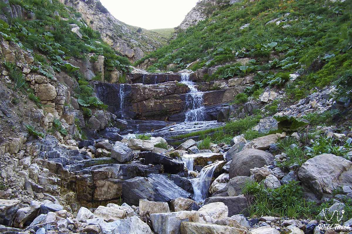
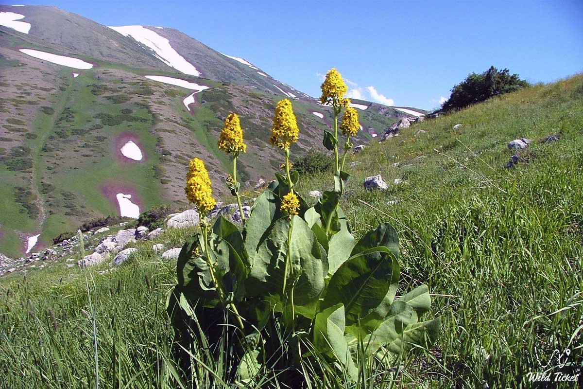
The Aksu-Zhabagly Nature Reserve is located at the intersection of the Ugam and Talas Alatau. The branches of the Ugam and Piskem rivers, the Maidantal, Baldybirek, Sairamsu, and Saryagyr, originate from mountain glaciers. The brown alpine meadow soils at the foothills support a variety of grasses, mixed shrubs, fruit trees, juniper species in the highlands, and subalpine and alpine meadows.
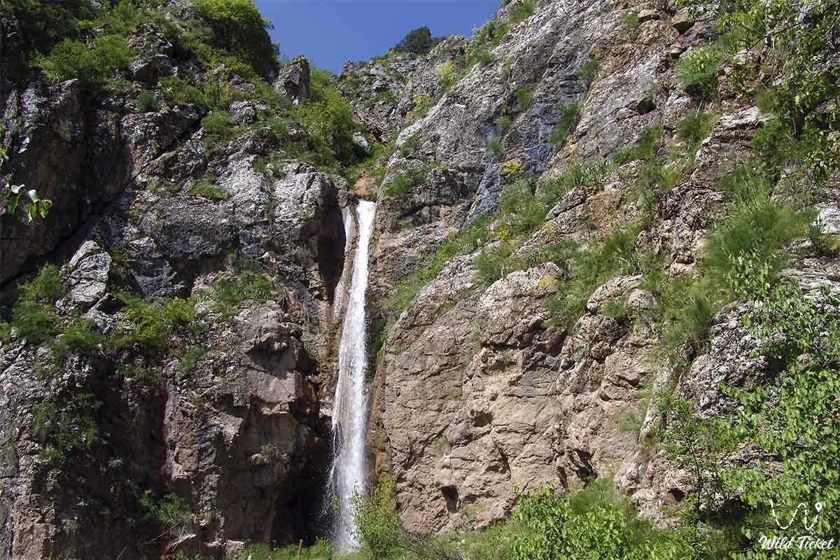
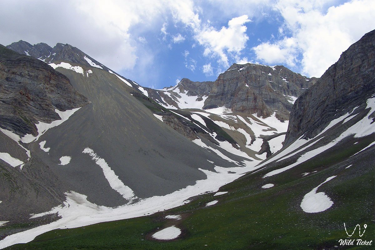
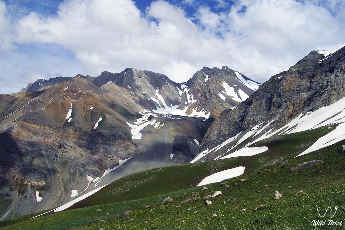
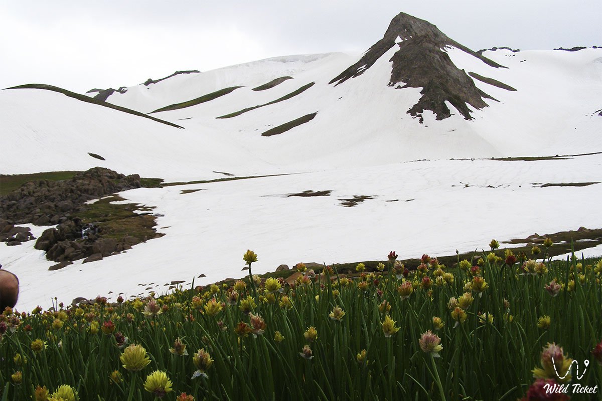
Photogallery: