Tours and excursions in Kazakhstan -
The Republic of Kazakhstan is located in the central part of the Eurasian continent. The area of the republic is 2724.9 thousand. Km2. The country accounts for 2% of the world's land area and 5% of the area of Eurasia. It is one of the ten leading countries in the world by territory and the largest inland country. It is the ninth largest country in the world. Its total area is 2% of the globe, 6.1% of Asia. It is the fourth largest country on the Eurasian continent after Russia, India and China, and the second largest in the CIS after Russia.
Train travel in Central Asia
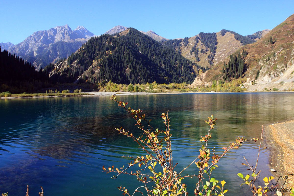
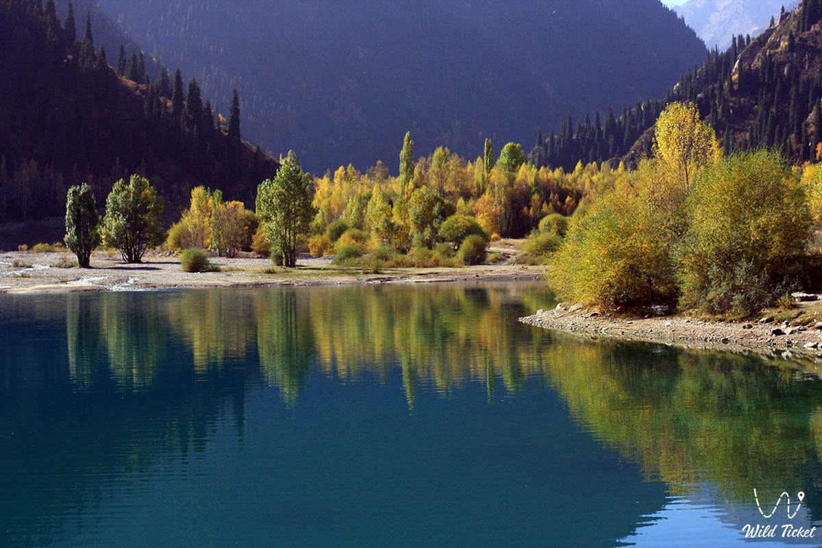
There are more than 48,000 large and small lakes and about 3,000 dams in Kazakhstan. Due to the climatic conditions, most lakes are located in the north of Kazakhstan. Of these, with the exception of the Caspian Sea, the Aral Sea and large lakes such as Balkhash and Zaisan Alakol, most (94%) have an area of less than one square kilometer. All lakes are closed. Their level changes from time to time: most of the water is salty, so the sediment is salty, from which salt is formed. There are 22 lakes in Kazakhstan with an area of more than 100 square kilometers, they occupy 60% of the total area of the country's lakes.
Jeep trips in Kazakhstan
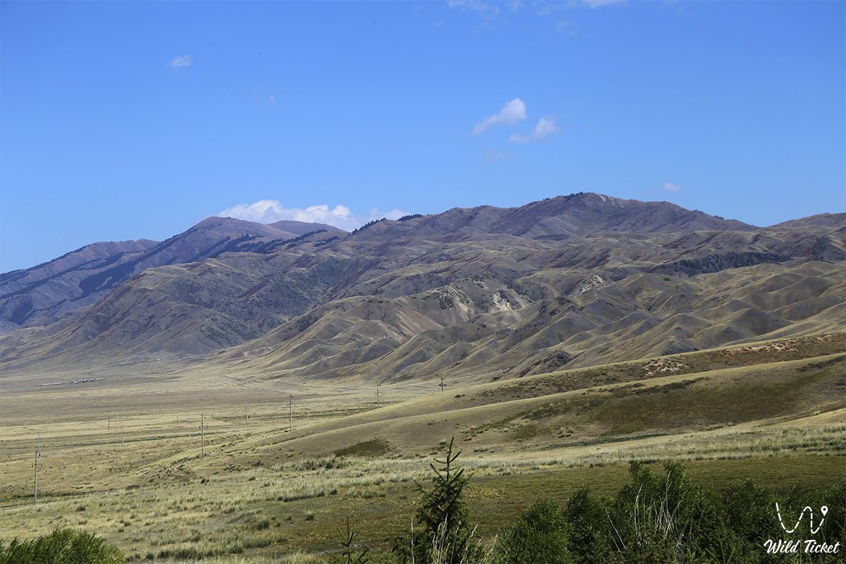
In the west of Kazakhstan are the lower reaches of the Volga, the Caspian and Turanian basins, in the east - the Altai Mountains, in the north - the West Siberian plain, in the south - the Kyzylkum desert and the Tien Shan mountain range. From west to east - 3000 km, from north to south - 1600 km.
The population of the republic is 17.4 million people. more than a man. The share of the urban population is 56%. The population density of Kazakhstan is 6.6 people per square kilometer.
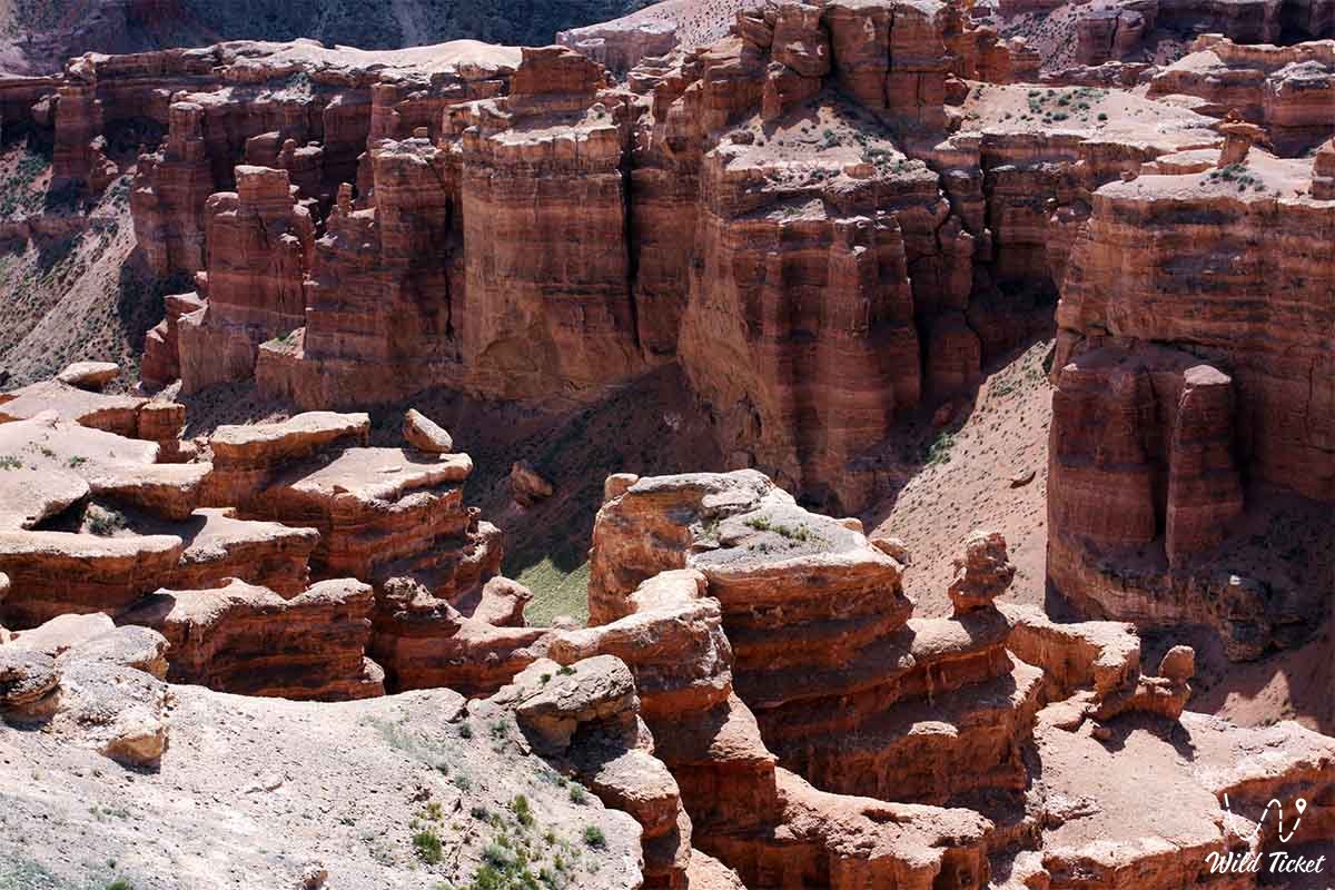
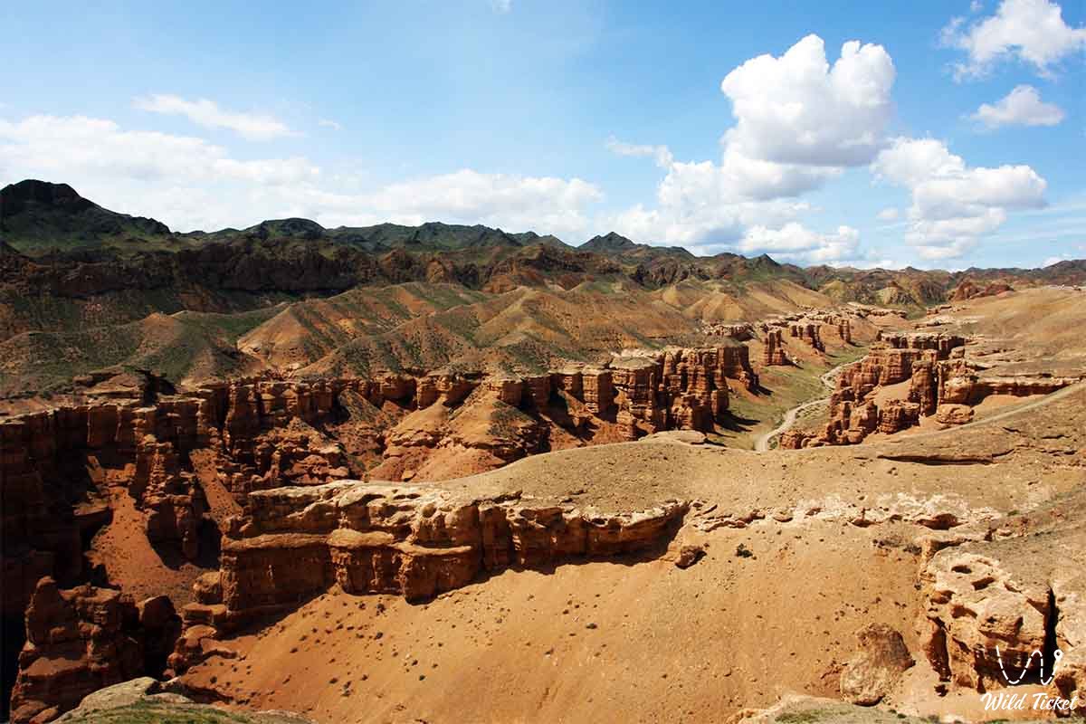
Physical and geographical location of Kazakhstan
From the point of view of its physical and geographical location, Kazakhstan is located at almost the same distance from the Pacific and Atlantic Oceans, as well as from the Indian and Arctic Oceans. Its remoteness from the oceans and the size of its territory make it a unique feature of the climate. Kazakhstan stretches for 3,000 km in the west - from the lower reaches of the Volga, in the east - to the foothills of the Altai Mountains, in the north - from the West Siberian plain, in the south - to the Kyzylkum desert and the Tien Shan mountain range.
How to get to Kazakhstan
The geographical location of the republic determines its natural conditions. Kazakhstan is located in the middle and southern latitudes of the temperate zone. At the same latitudes, Eastern Europe has a temperate continental climate, Western Europe is subtropical, and Kazakhstan is sharply continental. The nature of the territory of Kazakhstan varies from edge to edge.
For example, while apples and apricots are in bloom in the southern foothills, there are still cold snowstorms in the north of the country. Siberia and Central Asia meet on the territory of Kazakhstan. Depending on the geographical location on the territory of the republic, forest-steppe, steppe, desert and semi-desert zones are distinguished. As latitude deepens from west to east, deeper into the mainland, the continental climate increases. There are different altitude zones in the southeastern and eastern mountainous regions of Kazakhstan, which complicate the landscape. Depending on the geographical location of Kazakhstan, the change of the four seasons is clearly visible in all regions.
Kazakhstan has access to the countries of Azerbaijan and Iran through the Caspian, Azov and Black Seas through the Volga River and the Volga-Don Canal. Most of the land is flat and shallow. This allows us to develop a wide variety of economic activities.
Borders of Kazakhstan
The total length of Kazakhstan's border is 13,394 km, with a sea (the Caspian Sea) of more than 2,000 km. Kazakhstan borders Russia in the west, northwest and north at 7,591 km. The eastern border of the republic, stretching from Altai to the Tien Shan (Khan Tengri massif) for 1,782 km, corresponds to the state border with the People's Republic of China. It borders independent states in the south.: Turkmenistan - 426 km, Uzbekistan - 2354 km and Kyrgyzstan - 1241 km. The borders of the republic are: in the west - part of the Caspian Sea basin and the General Syrt plateau, in the north - the south of the West Siberian Plain.; In the south it passes the Turan basin, and in the east and southeast it crosses the western part of the Altai, Sauyr, Tarbagatai ranges, the main part of the Zhetysu (Dzungarian) Alatau and the northern ridges of the Tien Shan.
The history of geographical research in Kazakhstan
Herodotus (5th century BC) described the Caspian Sea as a closed basin with an endless plain in the east. In his works, he gave information about the Ural, Zhem and Volga rivers.
The Great Silk Road in Kazakhstan
The beginning of the Great Silk Road began in the Yellow River Valley in China. It crosses the western edge of Greater China and reaches Lake Issyk-Kul near the Ili River. In the meantime, the road will branch to the south and north, to the west and northwest. The southern route leads to Ferghana, Samarkand, Iraq, Iran, Syria and the Mediterranean Sea. The northern route went to Ispijab (Sairam) in Southern Kazakhstan and was divided into two branches. One went to Central Asia, the other through Turkestan to the lower reaches of the Syrdarya River to western Kazakhstan and to Europe. The trading cities of Southern Kazakhstan are Suyab, Kulan, Taraz, Otyrar, Balasagun, Sairam, Sauran.
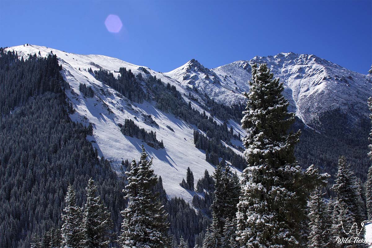
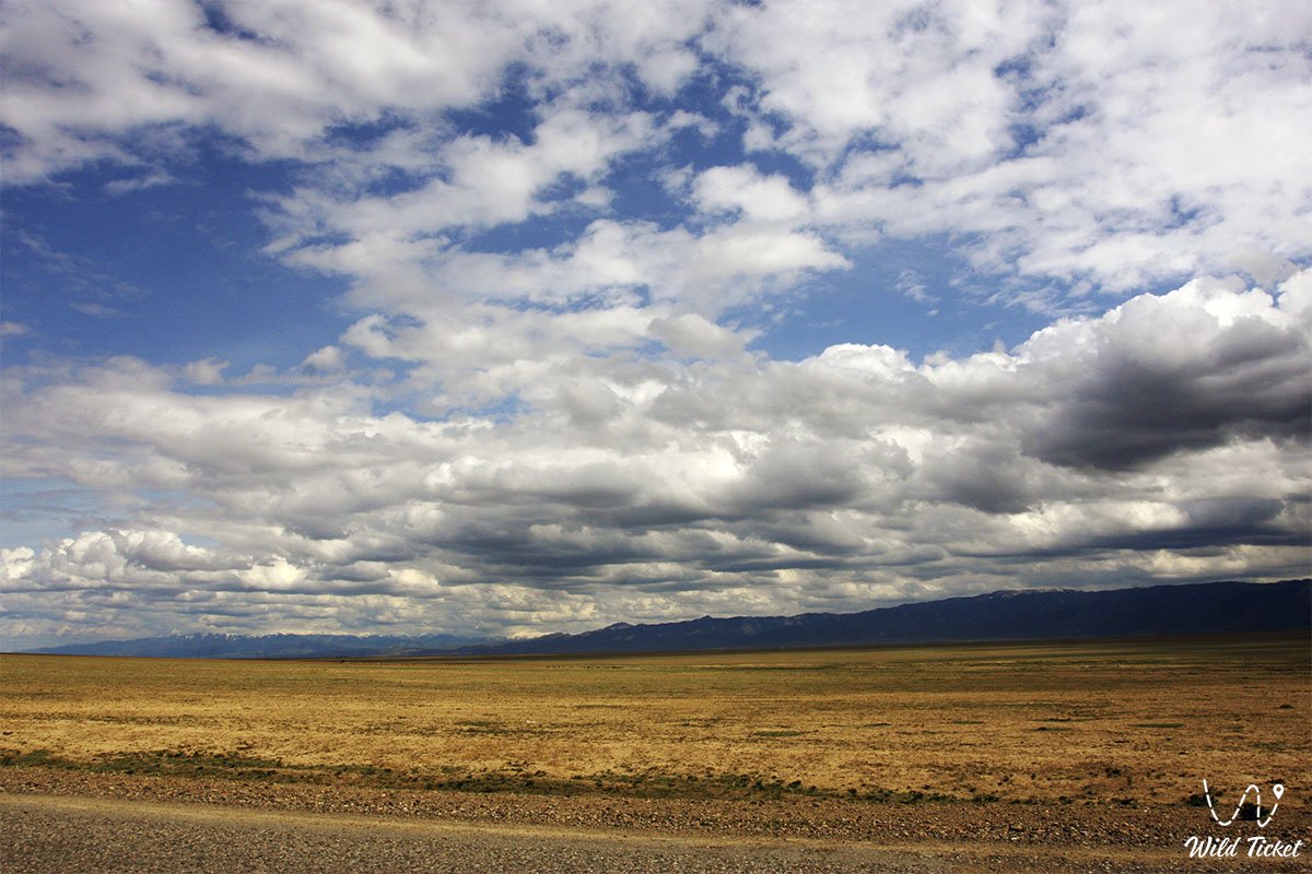
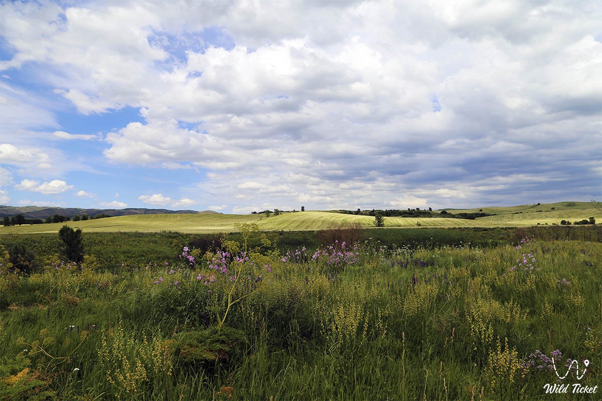
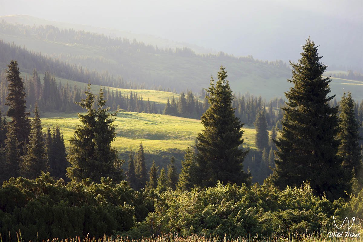
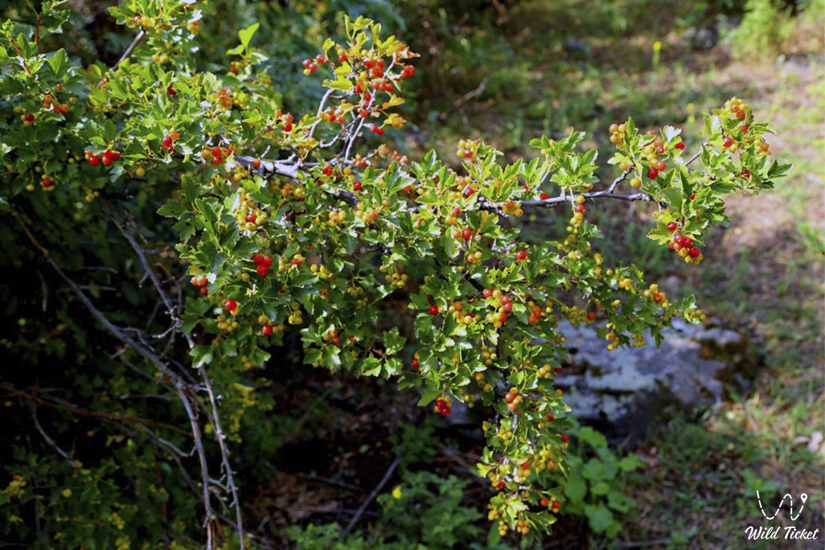
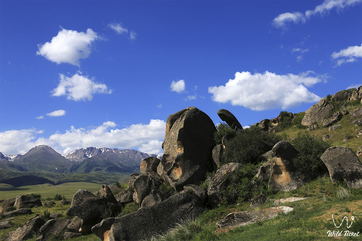
Photogallery: