Classic tour of Kazakhstan - weather activity in Kazakhstan -
The vast territory of Kazakhstan has a dry continental climate due to its geographical location (i.e., the main source of atmospheric moisture is too far from the oceans) and the nature of the terrain. Like any other region, the climate of the republic is particularly affected by a complex of radiation and weather factors.
Solar activity in Kazakhstan
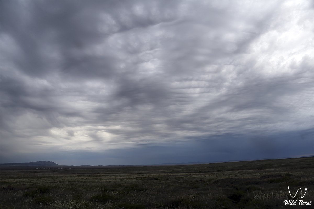
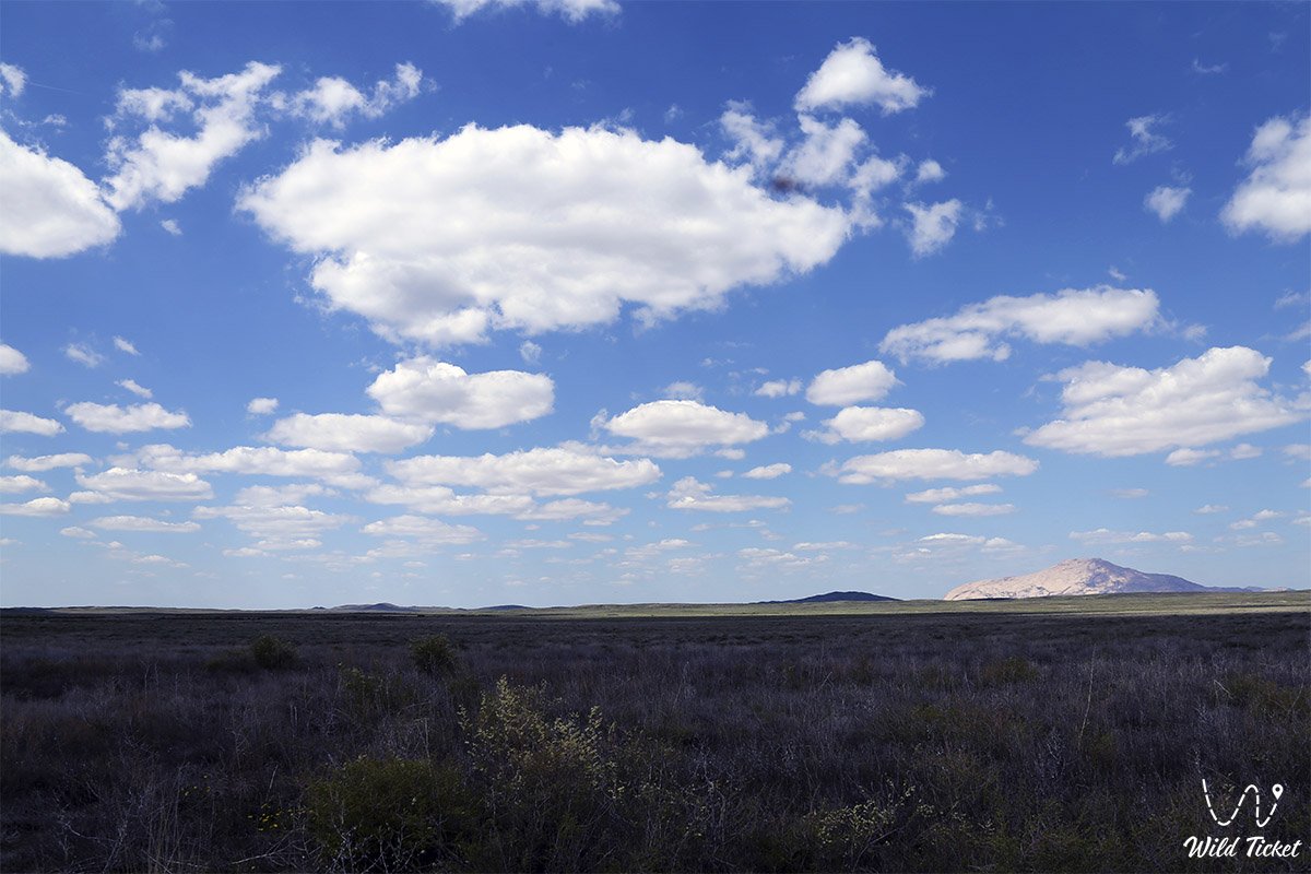
A high-pressure air layer prevails on the territory of Kazakhstan all year round, below which the neighboring regions (north, west and south) are located. In general, anticyclonic weather prevails in most of the country. Therefore, the duration of sunny days here increases from 2000 to 3000 hours per year from north to south. There are 120 sunny days in the north, 260 days in the south, and the number of cloudy days decreases from 60 to 10 (in the Balkhash basin), respectively.
As a result, the total amount of radiation gradually increases from left to right from 4,200 to 5,500 MJ/m2. Similarly, the amount of absorbed radiation steadily increases towards the south, depending on the reflectivity of the surface. The reflectivity reaches a maximum of 70-80% in winter with the formation of permanent snow cover, and in summer it decreases to 20-30% in most places. The annual effective radiation ranges from 1,500 in the north to 2,100 MJ/m2 in the south. The seasonal duration of the negative radiation balance is 3.5-4.5 months in the north (November-March) and 1 month in the south.
In Kazakhstan, the annual heat loss due to evaporation decreases from left to right from 630 to 420 MJ/m2. During the dry season in a desert area, a large amount of heat is transferred to a turbulent heat exchanger. Only when the soil is saturated with spring moisture, as well as on lawns, the amount of heat required for evaporation exceeds the heat loss, which heats the air due to turbulent heat exchange.
In Almaty, it is clearly visible that the daytime temperature is lower than in the Moscow region due to evaporation. Changes in the radiation and heat balance change the air temperature. The average January temperature is the lowest in Kazakhstan. and in the eastern regions - to the right 18 ° C. areas up to 3 ° C. The average July temperature in these areas ranges from 19 °C to 28-30 °C, respectively. In the north-east of Kazakhstan, the climate is sharply continental, with the average temperature difference between January and July in this region reaching 41 °C. Right. The average daily temperature in the districts for 10 months will be above 0 °C. In the north of the republic, winters are long, snowy and cold, with frosts from -45 °C to -50 °C. Summers are moderate and short, sometimes the air temperature can rise from 35 °C to 45 °C. The last spring frosts may occur in July, and the early autumn frosts may occur at the end of August.
Traveling in the south of Kazakhstan - the climate in the South of Kazakhstan
The South of Kazakhstan. Winters are mild here. This region has the lowest air temperature during the winter months, which is often repeated. The temperature rises to 15-20 ° C. However, on some days there are frosts up to -30-35 ° C and even below -40 ° C. In the far south of the country, the last spring frosts are expected in late April, the first in the second half of September.
Outside of the mountainous region of Southern Kazakhstan, summers are too hot and prolonged. In some years, the air temperature can reach 45-47 ° C, the soil surface can heat up to 70 ° C and above. Such a large amount of solar energy makes it possible to develop solar energy in Kazakhstan.
Atmospheric circulation in Kazakhstan
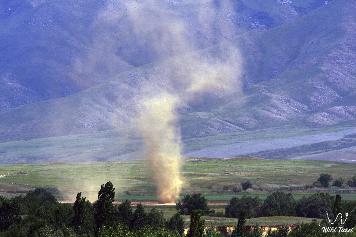
In winter, Kazakhstan is under the influence of the Siberian anticyclone, and in summer it is the core of the Azores anticyclone. In this regard, in the north of the republic, the wind blows from the southwest and west, and in summer - from the northwest. During the latitudinal rotation, precipitation decreases in most of the territory of Kazakhstan, and the air temperature rises. During the European cycle, the influx of cold air masses into the republic increases, the temperature drops sharply, precipitation increases, and winds increase.
In the Siberian cycle, warm air masses from the south increase, air temperature rises, precipitation decreases. The republic's climate is also influenced by the diversity of its surface.
The atmosphere in Kazakhstan is envious of the terrain too. There are mountain systems in the southeast (altitude 4000-5000 m) and reservoirs such as the Caspian and Aral Seas. Mountain systems, which are a natural barrier, increase the latitudinal boundary zone in the atmosphere in a northeasterly direction, increasing the flow of air masses.
Climatic zones of Kazakhstan
The territory of Kazakhstan includes 4 climatic zones (forest-steppe, steppe, desert, semi-desert). The climate zone of the forest-steppe is the wettest part of the republic. Average annual precipitation. 242 - 315 mm, of which 80% is in the warm season. The annual total annual temperature is above 10 °C. 2100 °C. The duration of the growing season. 160 - 170 days. The shortest season is spring, the longest. 1.5 months, summer lasts 3 months. Winter is long, from October to the end of April. The average annual drought lasts 37 days, in some years from 110 to 113 days.
The steppe climate zone occupies a large area in the north of the country. Annual precipitation. 200-300 mm, of which 70-80% are typical for the summer months. The permanent snow cover lasts 140-160 days, with an average snow thickness. About 30 cm. There are many windy days and erosion processes are highly developed. The total annual sum of the average daily air temperature above 10 ° C. 2100-2300 ° C. The duration of the growing season. 170 - 180 days.
The desert climate zone or arid steppe occupies a flat area in the central part of Kazakhstan. Annual precipitation. To the south, it decreases from 279 mm to 153 mm, of which 43-27% occurs during the cold season. The permanent snow cover lasts about 120 days. The thickness of the snow cover increases from west to east from 20 to 60 cm. The average daily air temperature is above 25 ° C for 30-45 days, above 35 ° C for 10-20 days.
The influence of large bodies of water in the basins of the Caspian and Aral Seas, such as Balkhash, Zaisan, Tengiz and a number of other lakes, on air temperature is mainly observed during the warm season.
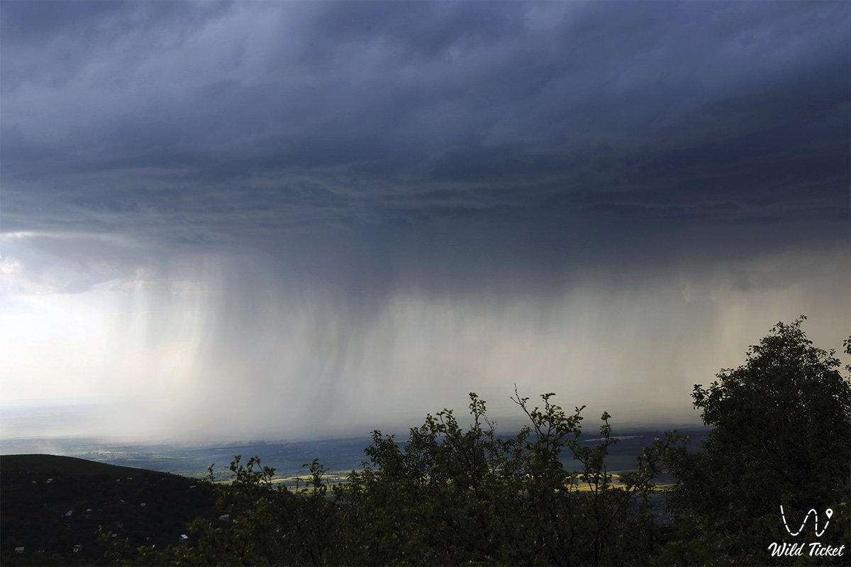
In the mountainous regions of the Tien Shan, the annual precipitation varies widely (from 400 to 900 mm), depending on the height and exposure of the slopes. Up to 1,000 mm of precipitation per year falls on the western slopes of Altai, while it remains dry on the eastern slopes. Annual precipitation increases to an altitude of 1,800-2,000 m above sea level, and above this level there is a slight decrease. In winter, due to a decrease in cloud height, the maximum precipitation zone is located at an altitude of 1000-1500 m above sea level, and in summer there is a direct dependence of precipitation on an altitude of up to 300 m above sea level.
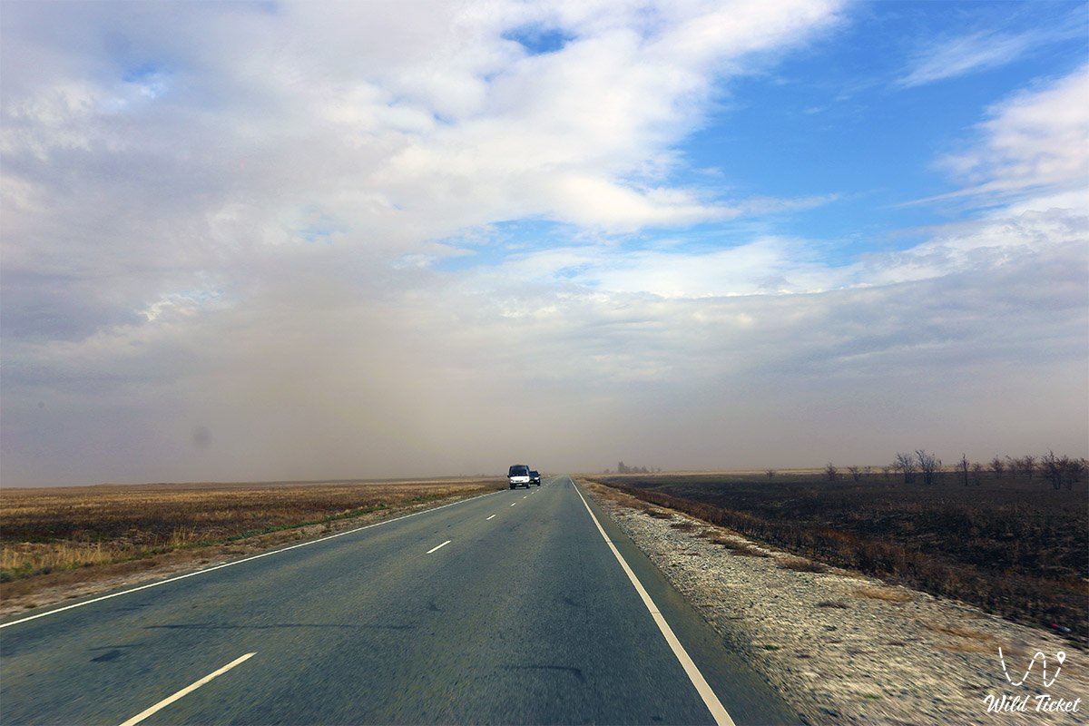
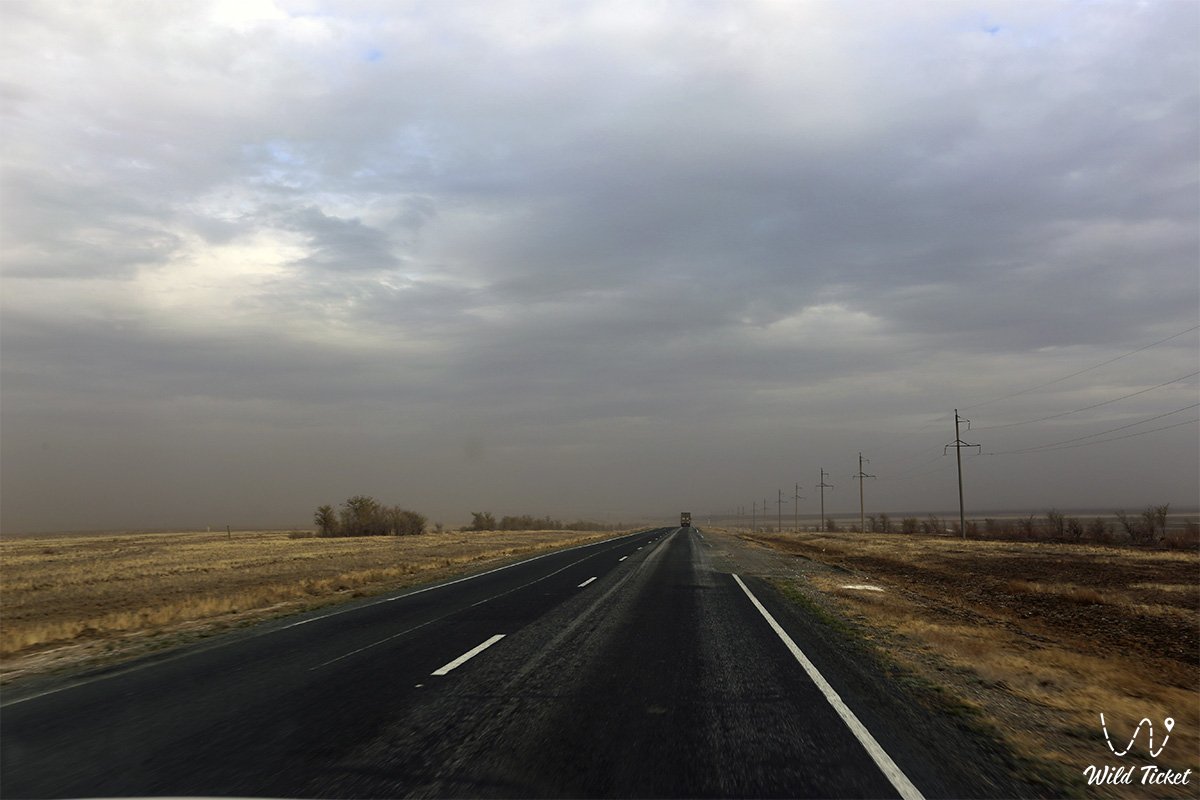
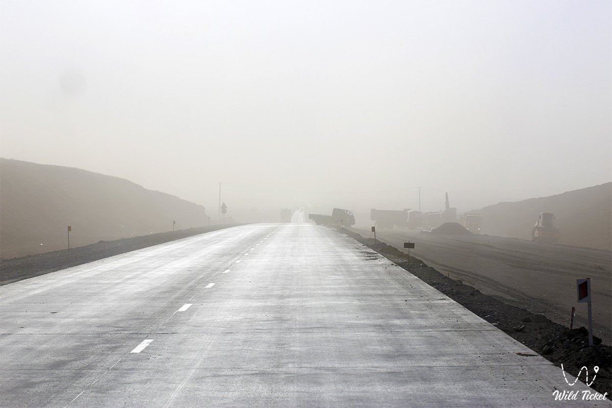
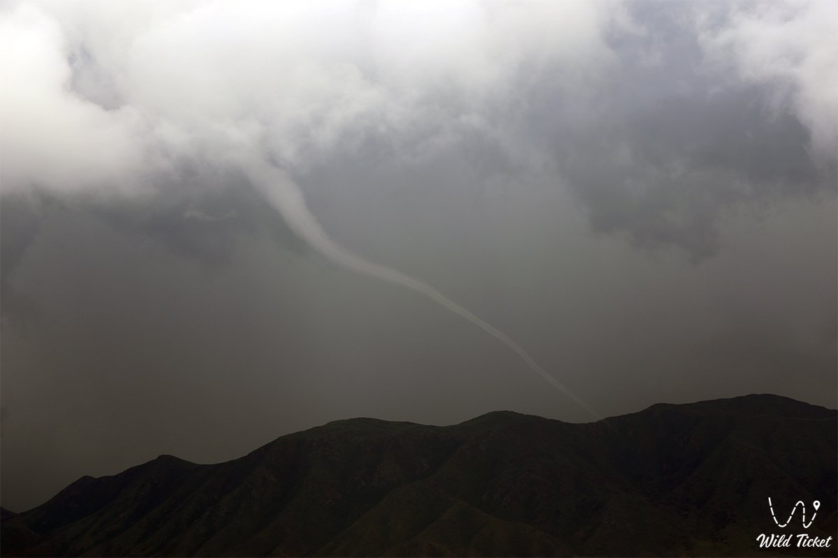
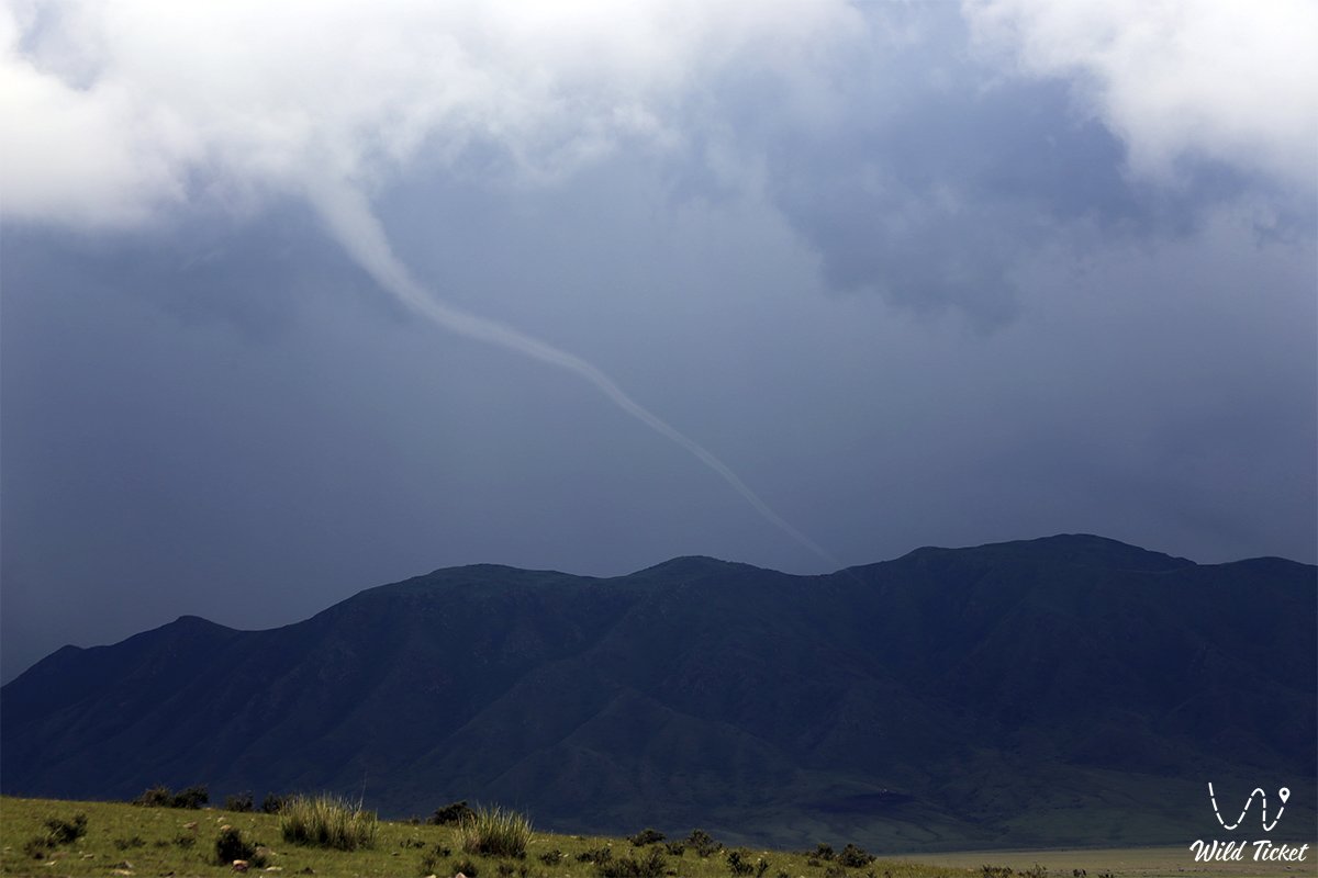
Photogallery: