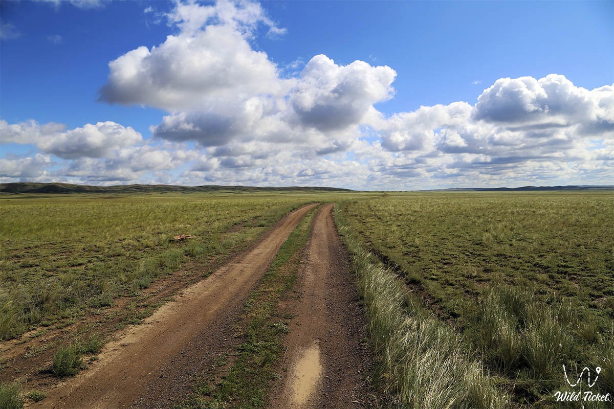
Journey to the Turgay Plateau -
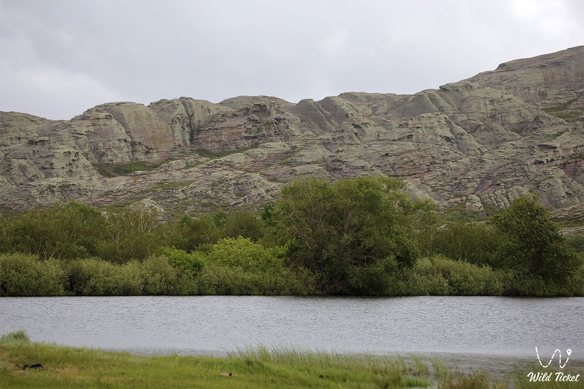
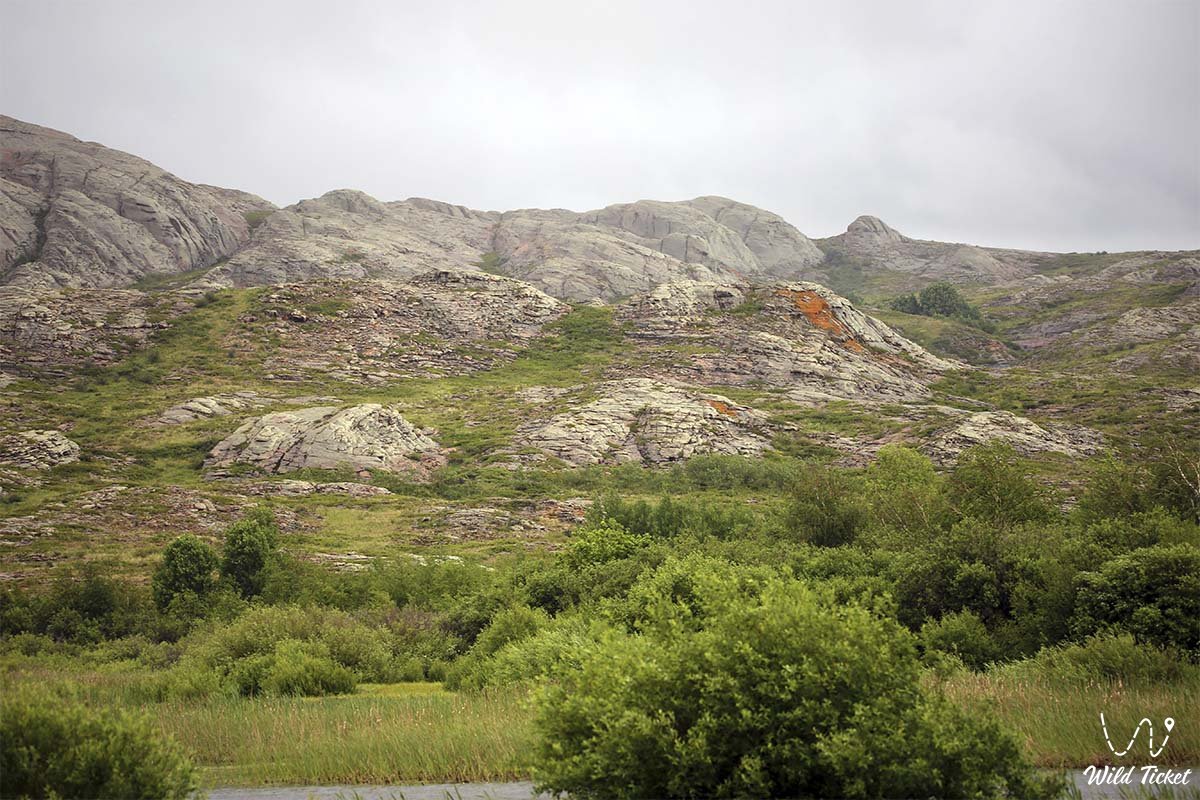
The Turgay Ustyurt Plateau is a flat region bordering the Southern Urals and the Mugadzhar Mountains to the west and Saryarka to the east. The Turgay Plateau stretches for 600 km from the Tobolsk Accumulative Plain in the north to the Shalkarteniz Stream in the south. It is 300 km wide from west to east.
The Ustyurt Plateau is located primarily in the Kostanay Region, with a small portion in the Akmola and Karaganda Regions. Geologically, it belongs to the epigeric Turan Plate. Mesozoic-Cenozoic sedimentary rocks covering the surface of the layered basement range in thickness from tens to 200 meters in the southeast.
Information
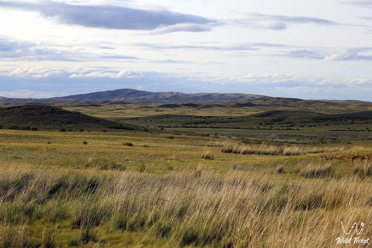
The absolute altitude is 200-300 m in the western and eastern parts, 150-170 m in the south toward the Shalkarten Depression. The northern part is sparse, often flattened. In the southern part, the plateau is uniformly flat and steep. The Turgay Plateau runs along the meridian, dividing into the center of the plateau. Along its right bank are many dry canals and salt lakes. Large ones include the Kushmurun, Aksuat, Sarykopa, and others. Rivers are rare, mostly drying up in the summer. The main ones are the Turgay, Irgiz, Ulkeyek, and Uly Zhylanchik.
Climate, Soils
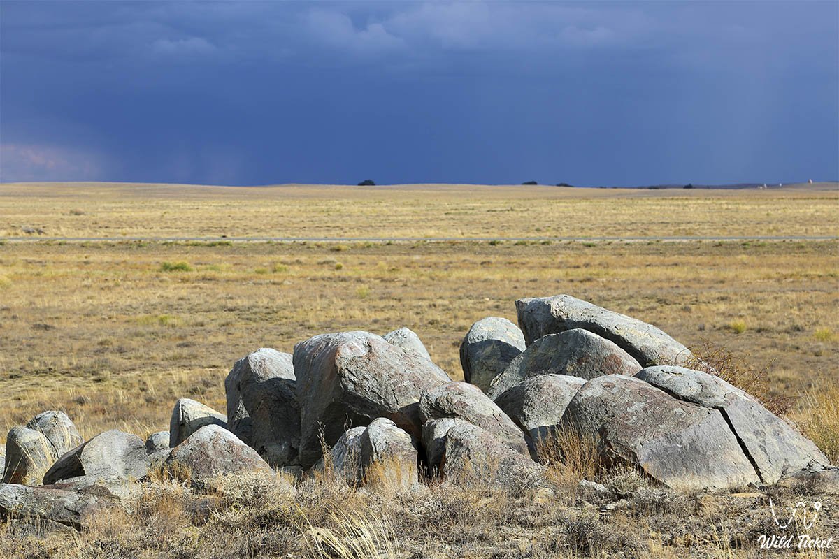
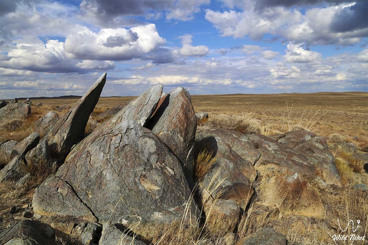
The climate is extremely continental and dry. Winters are cold, and summers are hot. Annual precipitation is low. 200-300 mm, average January temperatures are -16-18°C, July 21-24°C. The northern part has black and yellow pink-brown soils. There is dry fescue steppe. Relict pine forests (Amankaragay, Nauryzymkaragay) grow on sandy plains. The central and southern parts are occupied by pale pink-brown soils and a fescue-wormwood desert steppe.
General Information
The far southern region is a desert with pale brown soils. Loose sand massifs are concentrated here. Coarse sands include the Tosyn sands along the Turgay River, the Akkum sands near the Bolshoy Zhylanshyk River, and the Irgiz sands. Wormwood grows in the desert. Most of the steppe is used for agriculture. Deserts and semi-deserts are used for pastures. Winter feed is prepared from the floodplain meadows of the river valley. Rich deposits of bauxite and lignite have been discovered in the depths.
Photogallery: