Journey through the Caspian Lowland -
The Caspian Basin is a flat plain that arcs around the Caspian Sea to the north.
Geographical Location
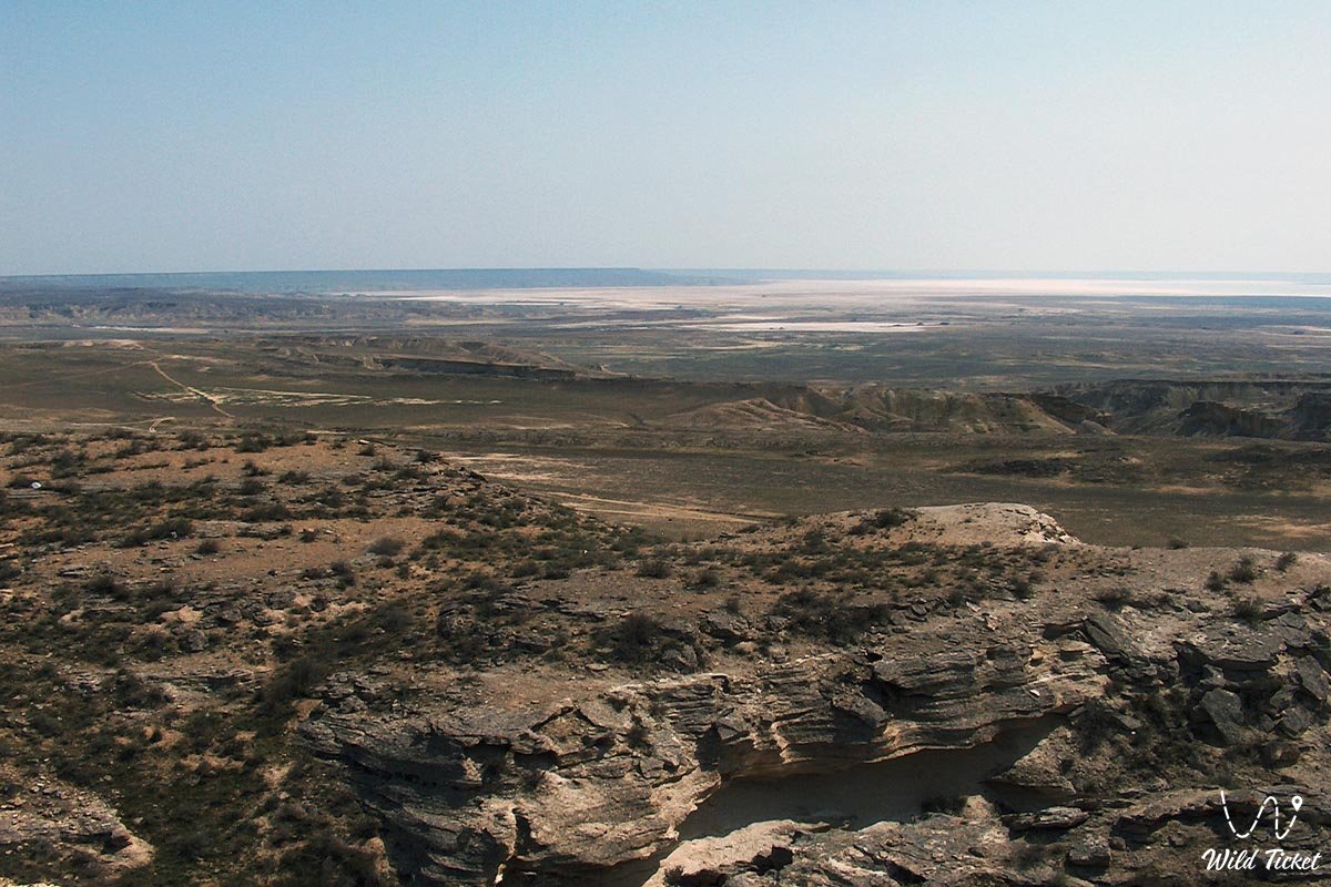
It is bounded by the Zhalpy-Syrt Plateau to the north, the foothills of Ustyurt and Mangistau to the east, and the Ergene Plateau to the west. It extends over 1,000 km from west to east and is approximately 500 km wide. Its area is 200,000 km². The plateau is located primarily in Kazakhstan, with its western edge in Russia.
Topography and Geology
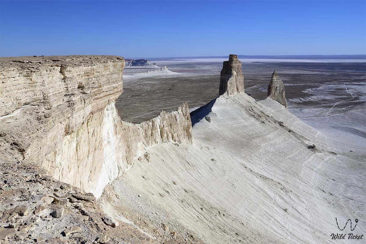
Absolute elevation increases from -27 m on the shores of the Caspian Sea to 100 m at the edge. The Caspian Basin was formerly a seabed. During the Quaternary marine transgression, the sea rose 50 m above sea level and reached the Zhiguli Mountains in the north. The topography of the Caspian Basin is composed of layers of sand and sedimentary clay up to 1 km thick from the sea. Isolated salt domes and hills are found on the flat plain (Besshoki - 60 m, Inder - 56 m, Bolshaya Bogda - 152 m, etc.). In the coastal part of the basin, chalk hills extend from the mouth of the Kuma River in the west to the Zhem River in the east.
Climate
The climate is strictly continental. The average January temperature is -14°C in the north and -8°C on the Caspian Sea coast. Absolute minimum temperatures reach -40°C. Although the snow cover is thin, it lasts for 4-5 months. Summers are hot and dry. The average July temperature is 22-24°C. The absolute maximum exceeds 40°C. Annual precipitation decreases from 250 mm in the north to 150 mm in the southeast. A mysterious wind frequently recurs.
Water Resources
Only the Volga, Ural, and Terek rivers reach the Caspian Sea. In summer, the Karaozen, Saryozen, Sagyz, Olenty, Buldyrty, and Kaldygayty rivers are cut off. There are many salt lakes.
Flora and Fauna
The Caspian basin includes deserts and semi-deserts. Saline light-brown and brown soils are widespread, characterized by saline and alkaline soils. Wormwood and fescue predominate in the north, while wormwood and willow prevail in the south. Small rodents such as gophers, bats, and other animals are common. Saigas and corsac foxes inhabit the sands between the Volga and Ural rivers. The Volga Delta is rich in waterfowl.
The Caspian Basin is rich in oil, gas, and salt deposits. Thin snow cover is suitable for winter grazing. Horizontal irrigation allows for a rich forage harvest. The Volga floodplain is planted with orchards, industrial crops, and rice. The Astrakhan Nature Reserve is located in the Volga Delta, and the Ustyurt State Nature Reserve is located to the east.
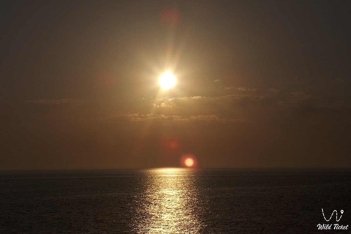
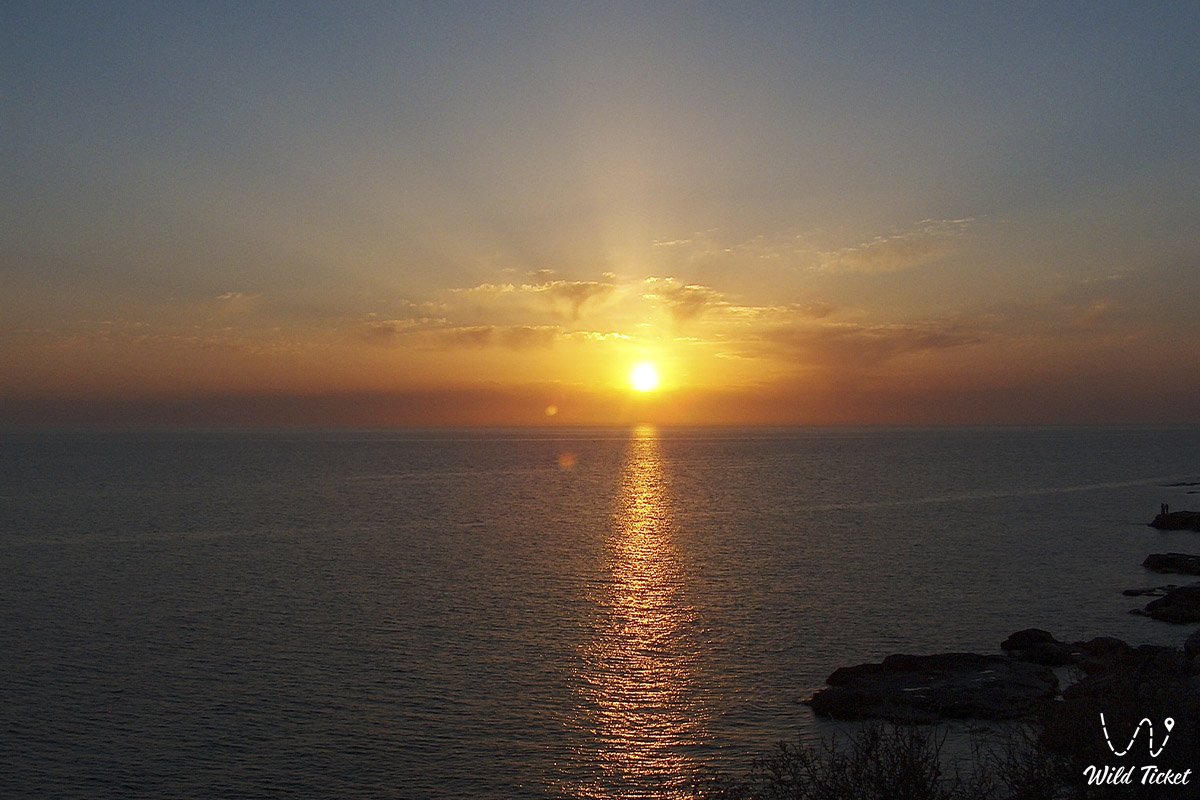
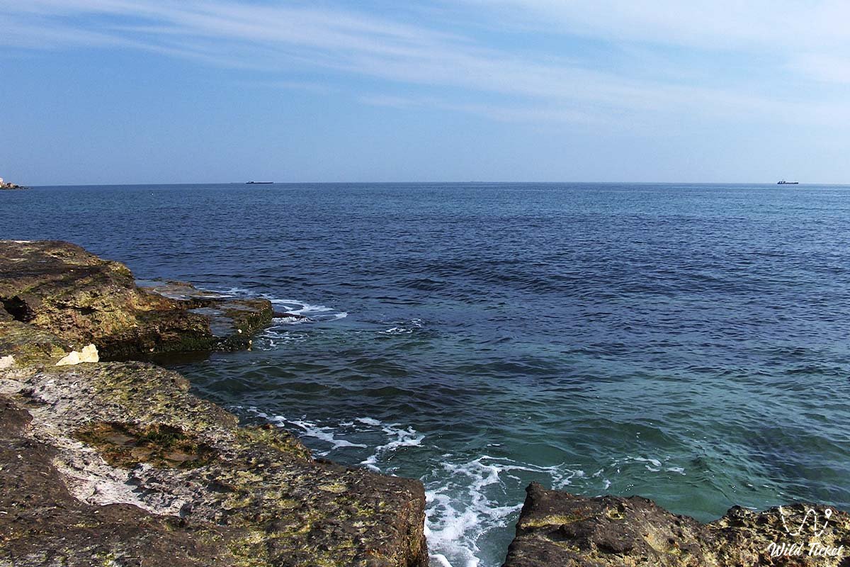
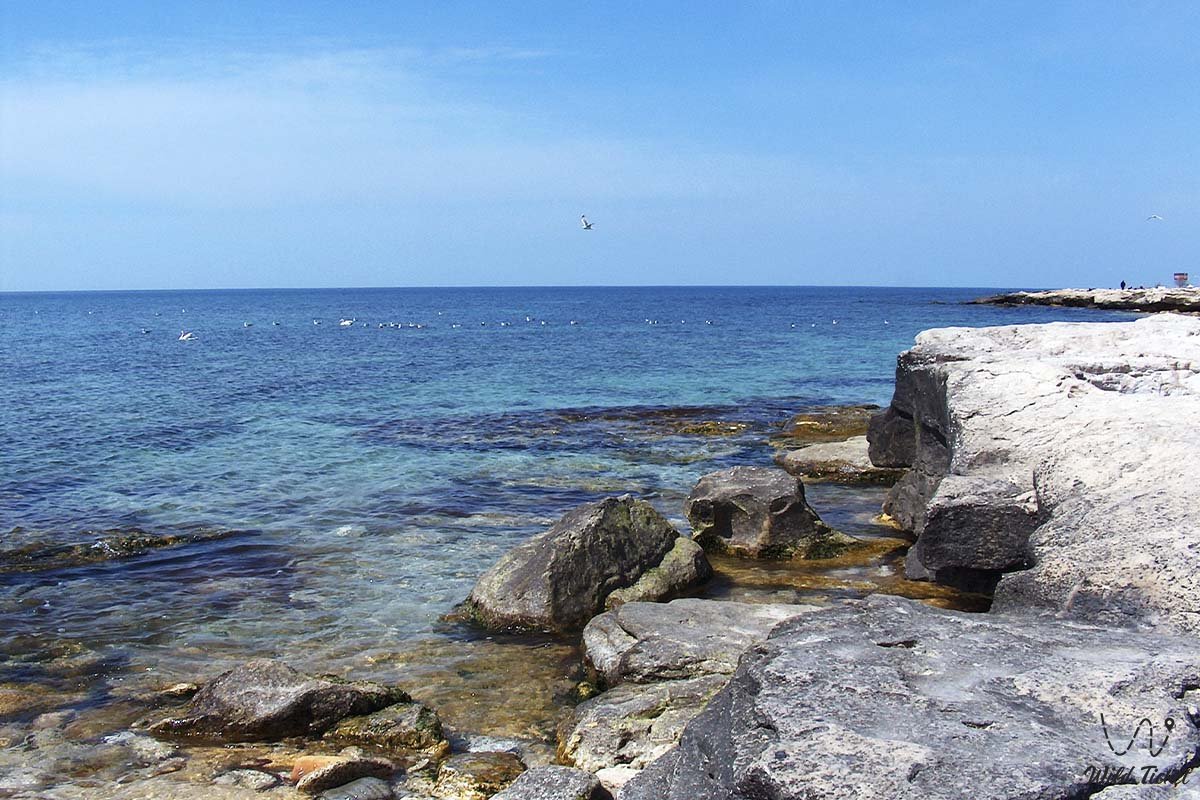
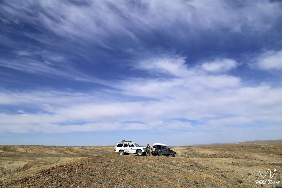
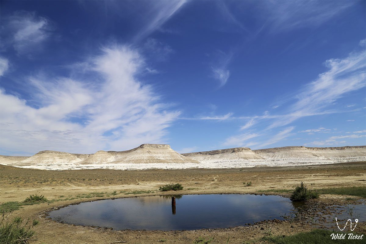
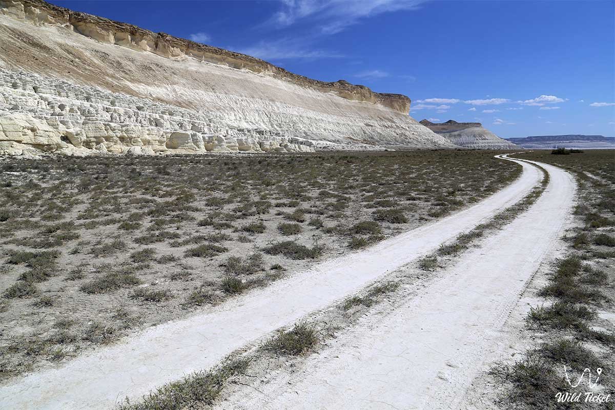
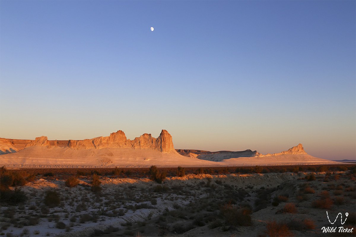
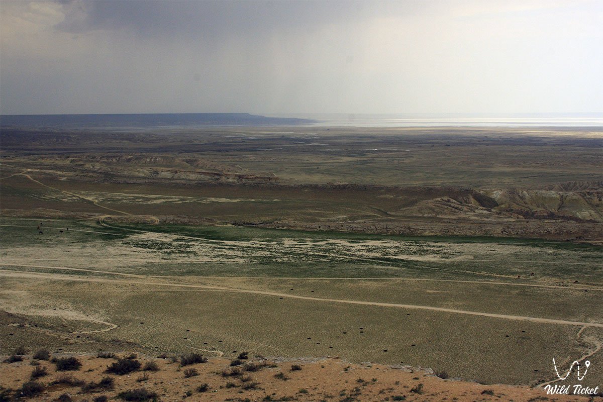
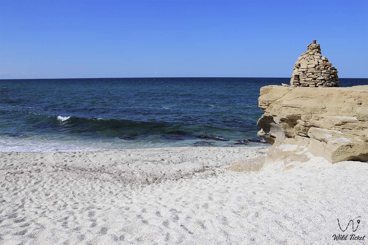
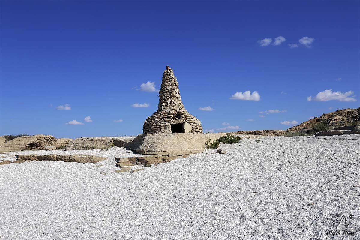
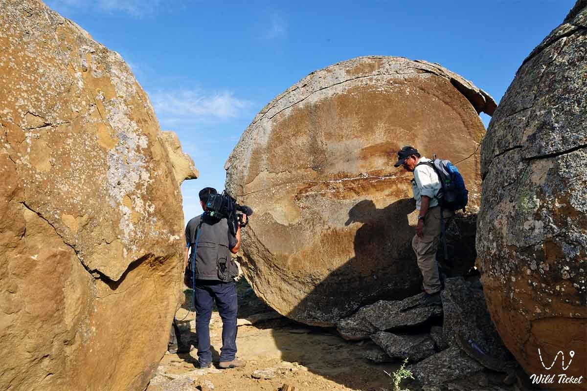
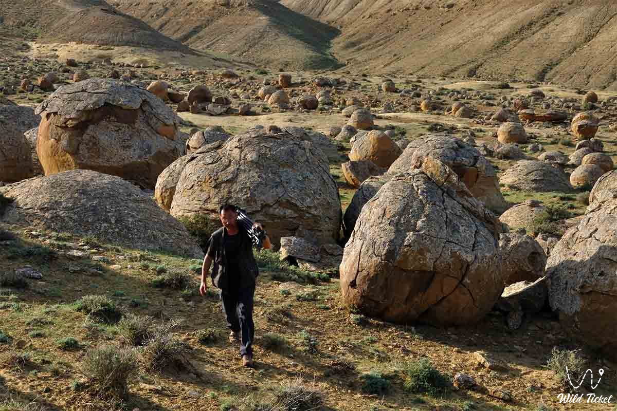
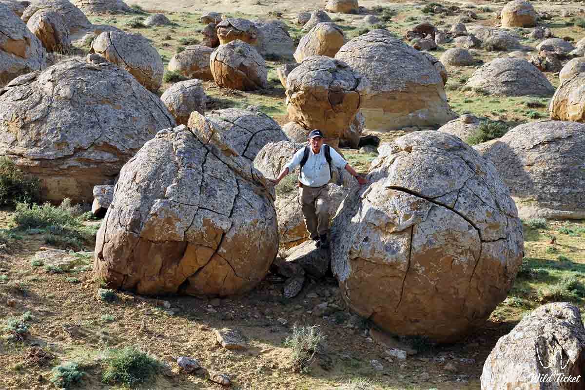
Photogallery: