Syr Darya River
Ancient Jaxartes nourishing the steppes and reviving the North Aral -
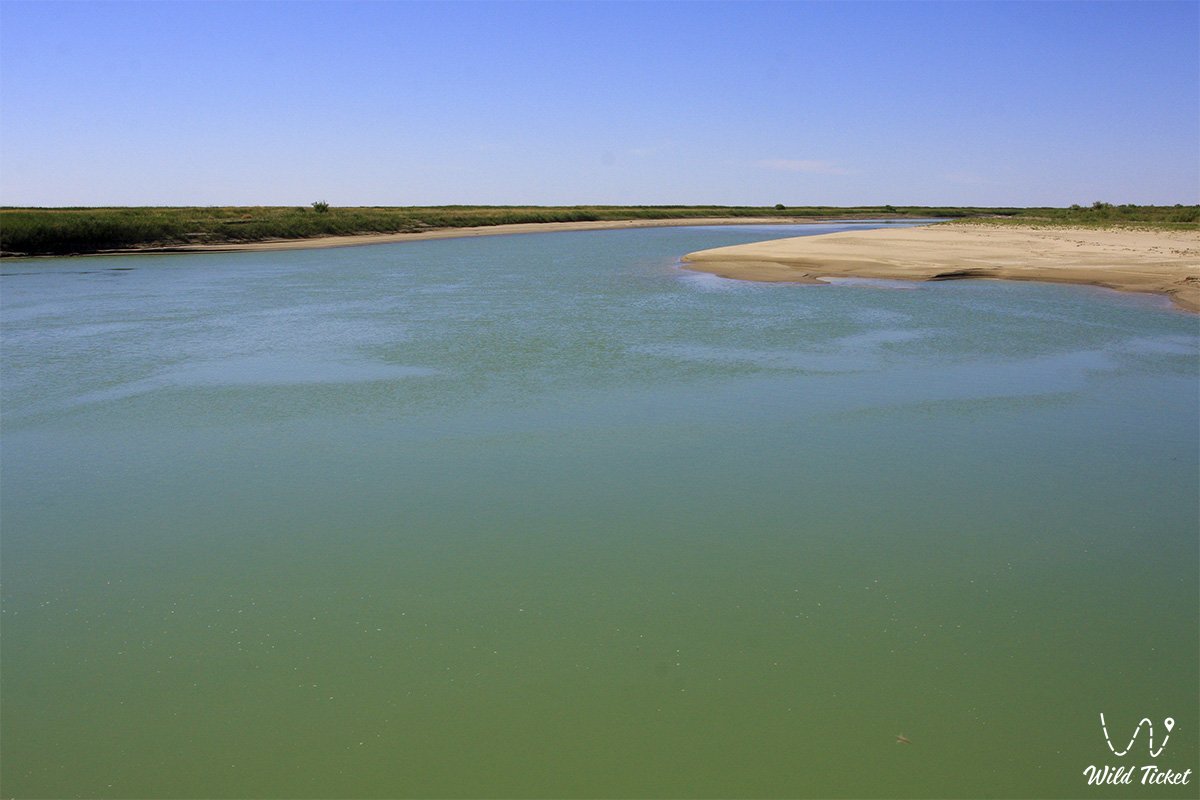
The Syr Darya is the name of a river in Central Asia. It is sometimes called the Jaxartes after the ancient Greek name ὁ Ἰαξάρτης. The Greek name of the river originates from the Old Persian phrase Yakhsha Arta ("Great Coral"), which refers to the color of the river's water. In medieval Muslim writings, the river is called "Sayhun" (سيحون) in honor of one of the four rivers of paradise.
The river is the longest by channel length in Central Asia (2,212 km, according to other sources up to 2,233 km, and including the Naryn source – 3,019 km) and the second largest in terms of water volume after the Amu Darya. Its basin covers an area of 219,000 square kilometers across the territory of four states: Kyrgyzstan (Naryn, Jalal-Abad, and Osh regions), Tajikistan (Sughd region), Uzbekistan (Andijan, Namangan, Fergana, Tashkent, Jizzakh, and Sirdaryo regions), and Kazakhstan (Turkestan region and Kyzylorda region).
The Syr Darya is born at the confluence of the Naryn and Kara Darya rivers in the eastern part of the fertile Fergana Valley. It traverses 184 km through Uzbekistan, then 106.5 km through the Sughd region of Tajikistan via the Kayrakkum Reservoir ("Bahri Tochik"), re-enters Uzbekistan for 189 km, and, crossing the Farkhad Mountains and the Golodnaya Steppe, rushes into Kazakhstan.
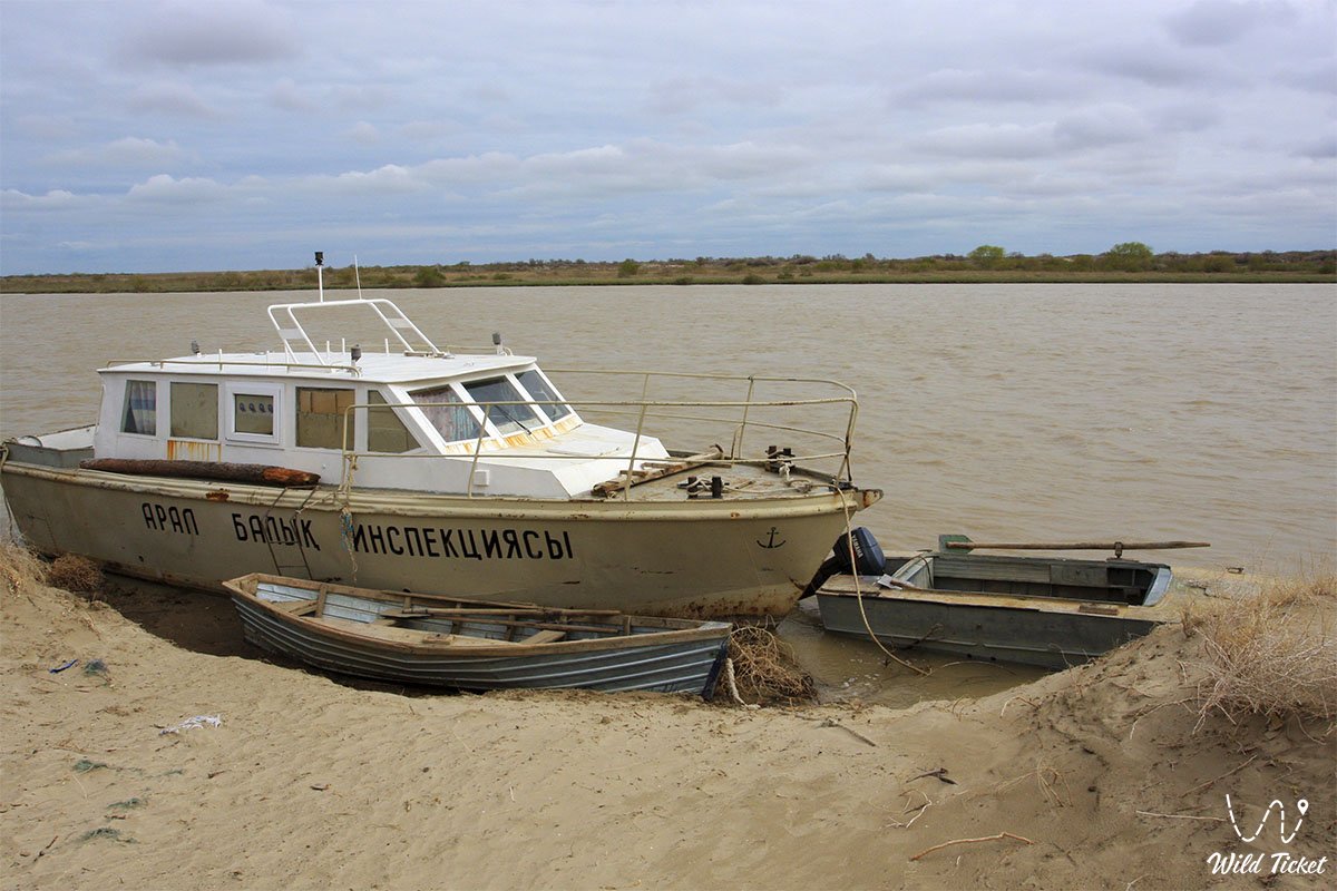
The Kazakh part accounts for the main length of the channel – 1,753 km, starting from the Shardara Reservoir near the city of Shardara, passing through the Shardara, Keles, Baidibek, Zhetisay, Otyrar, and Tole Bi districts of Turkestan region, and the Zhanakorgan, Shieli, Syrdarya, Zhalagash, Karmakshy, Kazalinsk, and Aral districts of Kyzylorda region. The river flows into the North (Small) Aral Sea.
The basin of the Syr Darya lies between the ridges of the Tian Shan, the Turan Lowland, and the sands of the Kyzylkum Desert. In ancient times, the river served as a frontier between the nomadic Saka tribes and the sedentary Sogdians, the cradle of cities along the Great Silk Road, and the foundation of ancient irrigated agriculture. In the 20th–21st centuries, intensive water diversion for rice and cotton fields, regulation by dams, and cascades of hydroelectric power stations reduced runoff at the mouth by more than 10 times – from a historical 400 m³/s to 30 m³/s. Despite this, the Syr Darya remains the backbone of the ecological revival of Kazakhstan Priaralye, desalinating the Small Aral.
For scientists, ethnographers, and auto-travelers, the Syr Darya floodplain represents a magnificent historical and natural route: here medieval settlements neighbor the space harbor of the Baikonur Cosmodrome, flowing through the city of Baikonur, tugai thickets, cascades of hydraulic structures, and rich fishing grounds.
--------------------------------------------
How to get there and visit -
In Kazakhstan, the Syr Darya flows through Turkestan and Kyzylorda regions. Key hubs along the route are the cities of Shymkent, Turkestan, Kyzylorda, Baikonur, Kazalinsk, Shardara, and the settlements of Josaly, Shieli, and Zhanakorgan. The M-32 international highway (European route E38), regional highways R-68 and R-69, as well as a mainline railway run along the floodplain.
GPS geographical coordinates: 44°59'21"N 65°17'48"E
Logistics along the riverbed are differentiated. Paved highways lead to regional centers, bridges, and archaeological complexes. However, turnoffs to floodplain tugai thickets, delta channels near Kazalinsk, floodings of the Karakum Desert, and the mouth near the Small Aral run along dirt dikes and sandy ruts requiring high-clearance vehicles.
For confident movement along coastal dirt roads, a 4x4 off-road vehicle with reliable ground clearance is required. The main challenge is posed by deep muddy ruts of the floodplain terrace after spring floods, washouts, and quicksands along the right bank near the Kyzylkum Desert.
When planning trips to the river delta and remote hydraulic structures (Aklak, Koksaray, Kazalinsk), travelers must take a reserve of fuel, navigation tools, entrenching tools, insect repellents, and an ample supply of drinking water.
The optimal time to visit is spring (April – May), when the river is full and the steppe is not scorched by the sun, and autumn (September – October) with mild weather and comfortable fishing. In summer, arid heat exceeding +40°C sets in along the lower reaches, while in winter the river freezes for a long period, turning into an ice road for steppe transport under frosts down to -20°C.
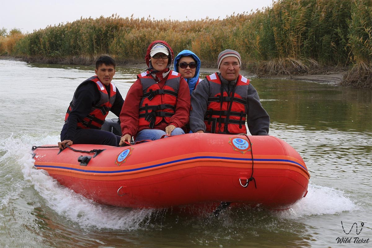
The hospitality network is represented by hotels and guest complexes in Kyzylorda, Turkestan, Shardara, and Baikonur. In delta zones near the lakes of Kamystybas (Kambash), tourist lodges operate, while wildlife enthusiasts pitch tent camps in coastal tugai groves.
--------------------------------------------
History
The hydronym of the river preserves layers of many millennia. The oldest recorded name was Jaxartes (Ancient Greek: Ἰαξάρτης), recorded by Strabo and Ptolemy. It traces back to the Old Persian Yakhsha Arta ("True Pearl" or "Great Coral"), reflecting the whitish color of melted glacial water, or to a Sogdian root meaning "flowing". Ancient Turkic runic steles called it Yinchu-Oguz – "Pearl River". Greek historians of Alexander the Great's campaigns transferred the Scythian name "Tanais" to the middle reaches of the river, until the 2nd-century AD writer Arrian recorded the presence of two Tanaises – the European (Don) and the Asian (Jaxartes). In 329 BC, Alexander the Great founded the northernmost outpost of his empire on its bank – Alexandria Eschate (modern Khujand).
In Islamic geographical writings, the river was uniformly referred to as Sayhun (one of the four rivers of paradise), as well as Obi-Fargona, Obi-Khujand, and Nahr al-Shash (the Shash River). The historian Sharaf ad-Din Ali Yazdi noted that Sayhun served as the border between Moghulistan and Transoxiana. In the 14th century, the Mongols called it Gulzaryan. The name "Syr Darya" of Turkic and Persian origin became firmly established in sources by the 18th–19th centuries (where "darya" means river, and "syr" is traced to meanings such as "abundant", "clean", "main", or to an ancient ethnonym of local tribes). The Khan of Khiva, Abu al-Ghazi, referred to the Aral Sea as the "Sea of Syr" (Syr Tengizi).
Centers of urban steppe culture grew along the Syr Darya valley: the medieval settlements of Otrar, Sygnak, Sauran, Artyk-Ata, and the delta settlement of Zhankent (Yangikent). In 1847–1853, the construction of Raim Fort and Fort Aralsk laid the groundwork for regular navigation by steamships of the Aral Flotilla.
The Soviet period brought total land reclamation: in 1956–1957, the Kyzylorda hydraulic complex was built with right-bank and left-bank main canals providing irrigation for more than 40,000 hectares of fields (later expanded to 250,000 hectares). The Farkhad HPP designed by architect Iosif Karakiz, the South Golodnosteppe and Zhanadarya (1958) canals, and the Kayrakkum and Chardara reservoirs were constructed. Massive water intake for rice and cotton cultivation led to the river ceasing to reach the sea, causing the breakup of the Aral Sea in 1989. Only the construction of the Kokaral Dam in 2005 returned river runoff to the Small Aral.
Information
The Syr Darya is fed by snow, glaciers, and rainfall, featuring spring-summer high water. The main runoff forms in mountainous areas: the Naryn provides 36%, the rivers of the Fergana Valley – 25%, the Chirchiq – 20%, and the Kara Darya – 11%. Total natural resources of the basin are estimated at 36.6 km³ per year, the volume of runoff reaching the channel is 30.8 km³, and the average annual water discharge below the mouth of the Chirchiq is 724 m³/s.
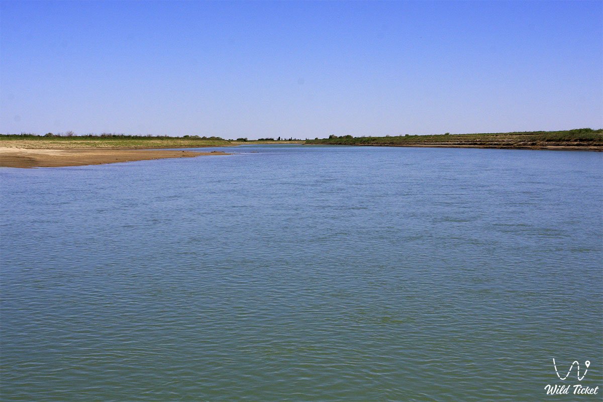
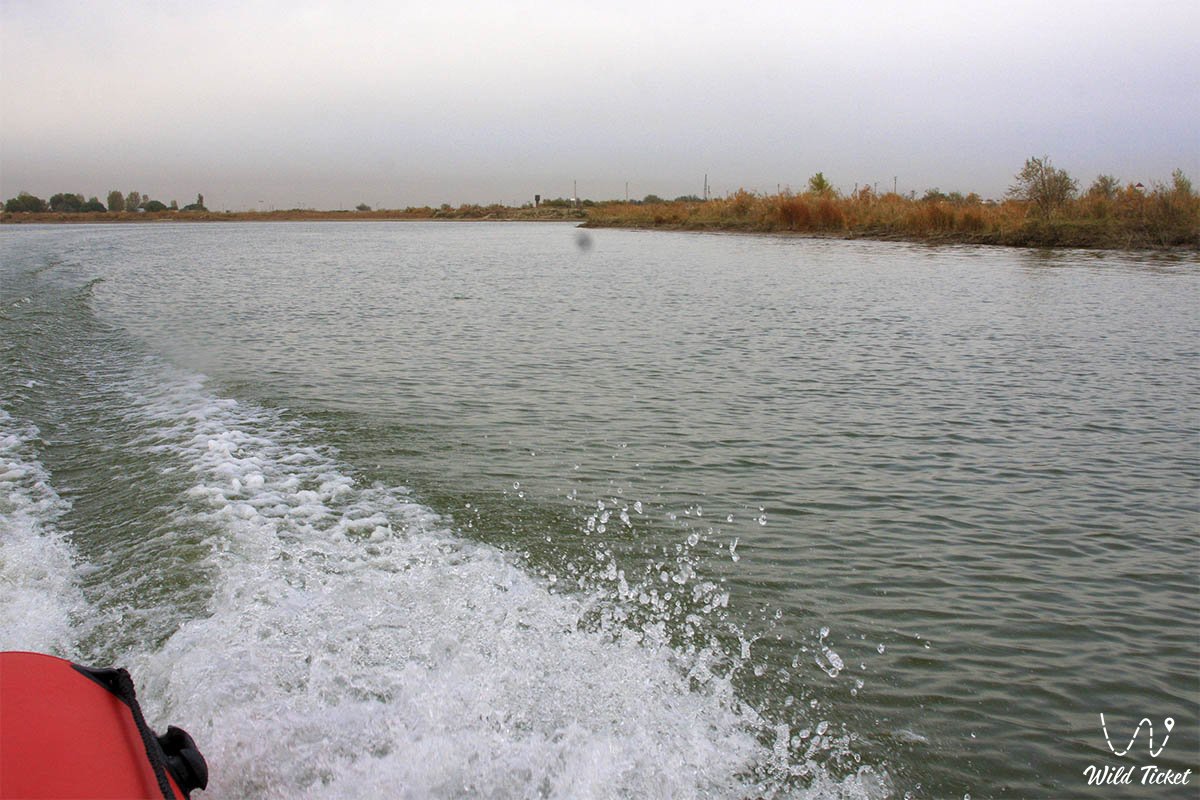
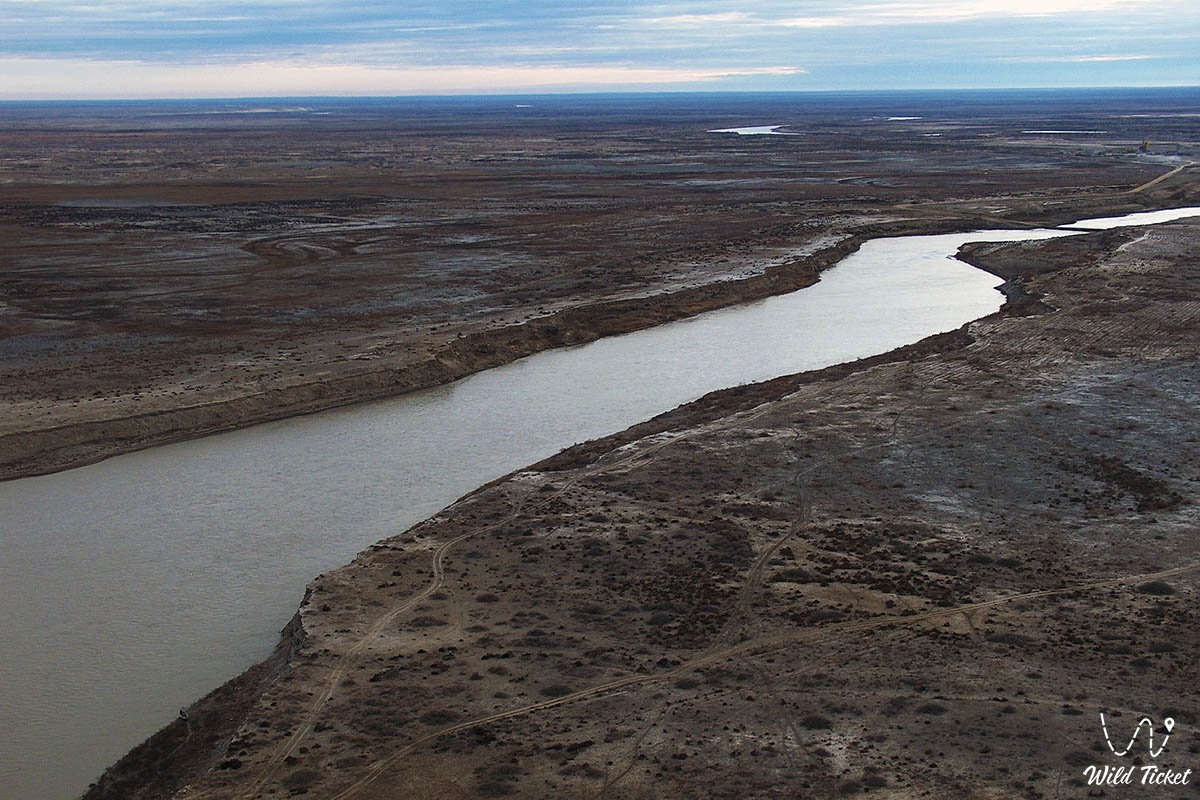
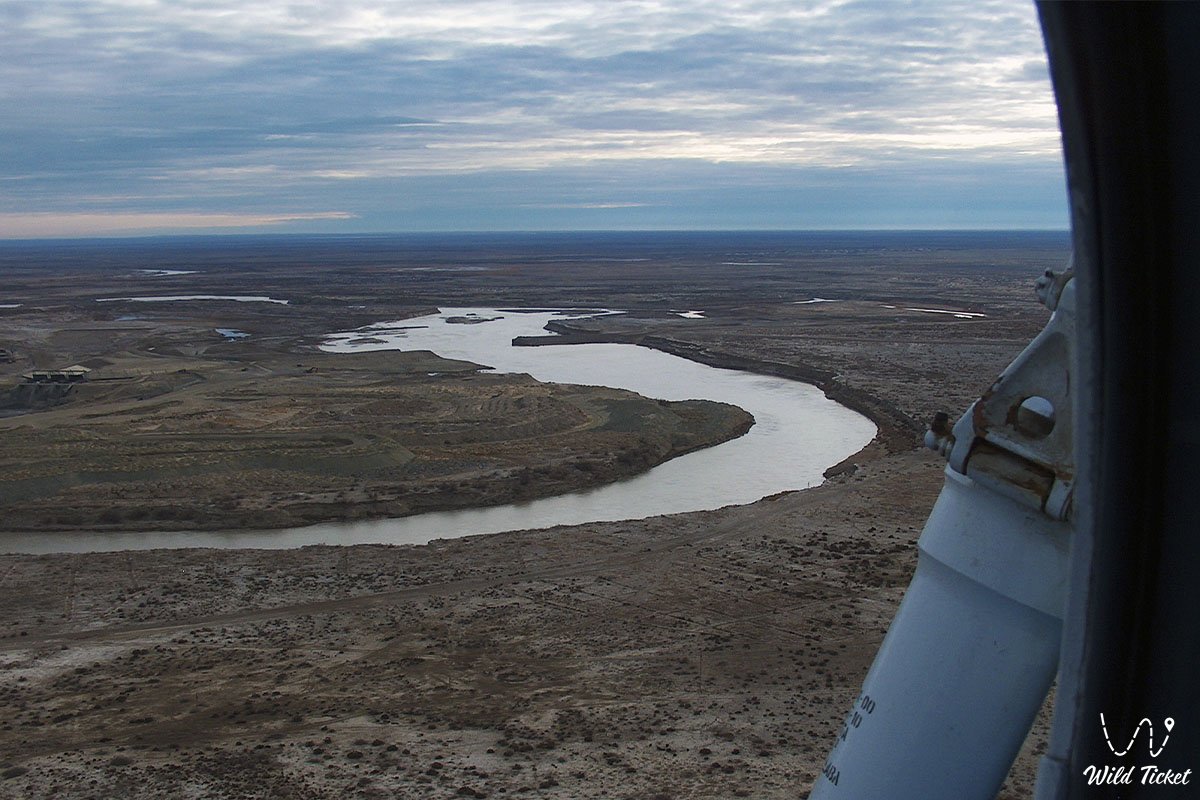
Upon emerging from the mountains, the river flows across a floodplain up to 14.7 km wide, receiving the Angren, Chirchiq, Keles tributaries, and its last major tributary – the Arys. In the lower reaches from Turkestan to Josaly, the floodplain width reaches 10–50 km over a stretch of 400 km. Below Chardara, river flow is heavily diverted for irrigation and evaporates in the spills of the Turan Plate. The modern valley is formed by a meadow terrace 2–2.5 meters above low water with meanders, oxbow lakes, and natural levees. In the delta near Kazalinsk, the river splits into branches, lakes, and marshes that serve as a base for melon farming.
Environmental challenges remain severe: about 70% of the water intake is diverted for agriculture, up to half of which is lost in deteriorated canals. In Kyzylorda region alone, rice paddies occupy 90,000 hectares. Ecologists note the over-regulation of the channel by structures (Shardara, Koksaray counter-regulator with a 45-km dam and a volume of 3 billion m³, Aklak hydraulic complex) that hinder the restoration of natural river hydrodynamics. Sectoral competition for water resources among four countries dictates the need to develop transboundary basin councils to prevent water shortages.
Detailed description of the venue
The geographical and landscape complex of the Syr Darya encompasses strategic natural, historical, and cultural locations:
• Syr Darya River Delta – a vast lake-marsh landscape near Kazalinsk and Aralsk with reed beds and runoff branches entering the Small Aral.
• Otrar Archaeological Oasis – ruins of ancient Farab at the confluence of the Syr Darya and Arys, the birthplace of Abu Nasr al-Farabi.
• Medieval Settlement of Sygnak – former capital of the Kipchak Khanate and the Kazakh Khanate with adobe ramparts and mosques.
• Ancient Settlement of Zhankent (Yangikent) – an Oguz capital in the lower reaches of the Syr Darya with a powerful citadel.
• Korkyt Ata Memorial Complex – an architectural ensemble and monument of steppe spirituality near Josaly village.
• Embankment and architectural complexes of Kyzylorda – Presidential Park, the Syr-Ana Monument, and the Akmeshit-Syrdarya Mosque.
• Attractions at the Baikonur Cosmodrome – the Cosmodrome Museum, the "Glory to Space Conquerors" stele, and the S. P. Korolev monument on the riverbank.
• Shardara Reservoir – an artificial reservoir in southern Kazakhstan with an active storage capacity of 5.7 km³, regulating transboundary runoff and supplying hydroelectric power.
• Koksaray Counter-regulator – a protective reservoir holding up to 3 billion m³ in Turkestan region, commissioned in 2010–2011 to prevent winter ice jams and floods.
• Syrdarya-Turkestan State Regional Natural Park – a protected reserve in the river floodplain established to safeguard tugai complexes and restore the Bukhara deer (hangul) population.
• Artyk-Ata Settlement – a medieval fortified monument on the left bank of the river in Kyzylorda region.
Flora and fauna
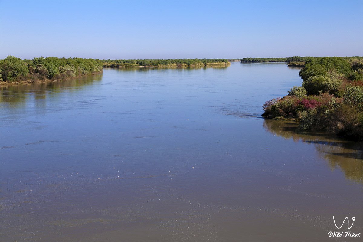
The plant world is represented by floodplain tugai communities. The tree and shrub layer is composed of Asiatic poplar (turanga), narrow-leaved oleaster (jida), willow thickets, tamarisk, and thorny halimodendron. Lowlands and oxbow lakes are densely overgrown with thickets of common reed, cattail, and bulrush, transitioning on terraces into wormwood-saltwort desert associations with camelthorn (dzhantak).
Wild boars, badgers, jackals, tolai hares, corsac foxes, and steppe cats inhabit the tugai forests and delta reed beds. In the Syrdarya-Turkestan Regional Natural Park, the rare Bukhara tugai deer has been successfully reintroduced. Goitered gazelles and saigas graze in adjacent semi-deserts.
The avifauna includes hundreds of water-dwelling birds: pelicans (Dalmatian and great white), cormorants, grey and great white egrets, spoonbills, swans, wild geese, and ducks, while the Syr Darya pheasant nests in the tugai thickets. The ichthyofauna is rich and diverse: asp, common carp, wels catfish, pike perch, bream, grass carp, perch, ruffe, Turkestan dace, rainbow trout in the foothills, as well as the relict Aral barbel inhabit the river and delta lakes.
Legend
Many folk tales are told about the Syr Darya. One of them tells of two shepherd brothers who toiled for a merciless bai in a barren semi-desert. When a giant dragon attacked the flock, the brothers fed sheep to the monster one after another to save themselves. Having gorged itself, the beast flew away, and the youths fled into the steppe fearing their master's cruel retribution. Along the way, an elder sage with white hair appeared before them, telling of a distant, bountiful land free from greed and oppression. He showed them the path to a full-flowing river valley called Syr.
The brothers arrived in these lands and found happiness cultivating the generous riverside soil. The word "syr" meant a secret mystery, and "darya" meant a great river. Thus they discovered the valley of the Mysterious River, which became an oasis of prosperity for them.
Another sacred legend connects the Syr Darya with the steppe saint Korkyt Ata. Seeking to escape death, he spread a carpet on the turbulent river waves and played the kobyz. The magical music calmed the waters and winds, warding off death as long as the enchanted strings resounded.
Conclusion
The Syr Darya River is a fundamental artery of life, uniting the past, present, and future of Central Asia. Flowing across snow-capped mountain ridges, cotton valleys, and desert sands to the Small Aral, it sustains natural oases, inspires the revival of fish stocks in Priaralye, and preserves great chapters of Eurasian history.
Journeys along the Syr Darya – from the ancient bastions of Otrar and the shrines of Turkestan to the launch pads of Baikonur and the tugai forests of the delta – reveal the pristine beauty of steppe landscapes and demonstrate the priceless value of water for every corner of this legendary land.
Interesting sights nearby:
• Otrar Archaeological Complex;
• Mausoleum of Khoja Ahmed Yasawi in Turkestan;
• Sauran Ancient Settlement;
• Korkyt Ata Memorial Complex;
• Zhankent Ancient Settlement (Yangikent);
• Baikonur Cosmodrome Museum;
• Syr-Ana Monument in Kyzylorda;
• Kokaral Dam on the Small Aral Sea;
• Artyk-Ata Settlement;
• Syrdarya-Turkestan Natural Park;
• Koksaray Counter-regulator.
Photogallery: